'Low Earth Orbit Visualization' where you can see artificial satellites that fill the earth's sky has appeared, and you can also observe how Starlink satellites fly in a row

In recent years, space development has become active, as
Low Earth Orbit Visualization | LeoLabs
https://platform.leolabs.space/visualization
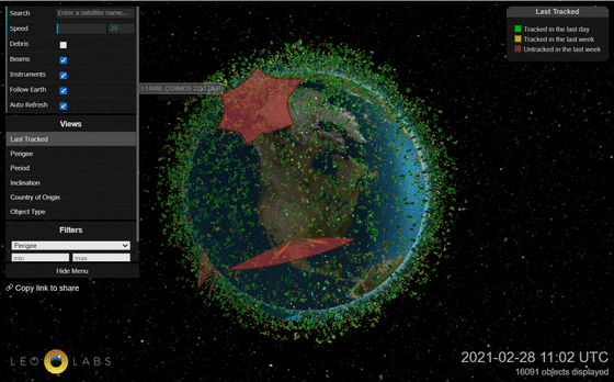
The following is the access to the public page on the above site. At the time of writing the article, 16,091 artificial satellites were tracked, with a green dot indicating 'artificial satellite confirmed one day ago' and a yellow dot indicating 'artificial satellite confirmed one week ago'. You can see that the blue earth is covered with. The radar waves used by Leo Labs and their observation range are displayed in red.
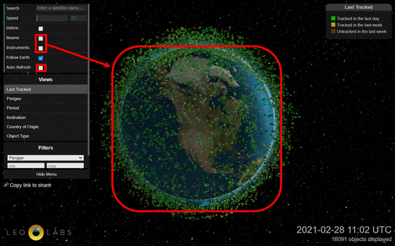
If you uncheck 'Beams' and 'Instruments' in the upper left panel, the radar display will disappear and you can see only the artificial satellites. Also, by default, data is updated and the page is reloaded at regular intervals, so it is convenient to uncheck 'Auto Refresh'.
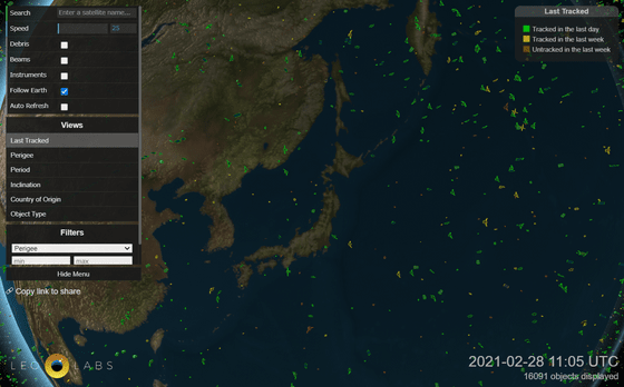
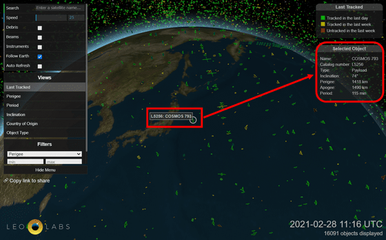
You can move it by dragging it, and you can zoom in and out by pinching in and out of the mouse wheel and smartphone. When I tried to display Japan in close-up, I saw artificial satellites of various shapes passing over the Japanese archipelago.
Clicking on an artificial satellite will give you a perspective to track the artificial satellite, and the details of the artificial satellite will be displayed in the upper right. This artificial satellite called
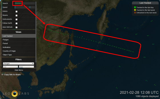
You can search and narrow down artificial satellites by using the 'Search' field on the upper left. When I tried typing 'Starlink', I saw a group of artificial satellites crossing the sky in a row over Hokkaido, so I will click on one of them.
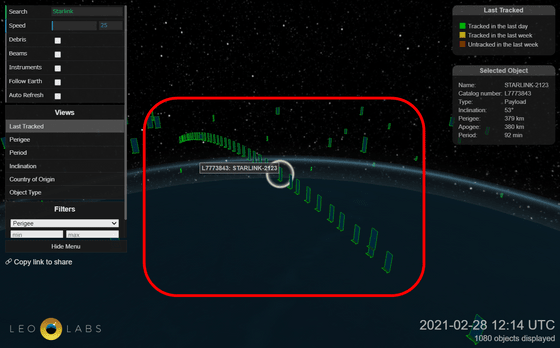
Then, I was able to see the 'Starlink train' in which Starlink's artificial satellites flew in a string of beads. Since this Starlink train is also observed from the ground, astronomers have pointed out that
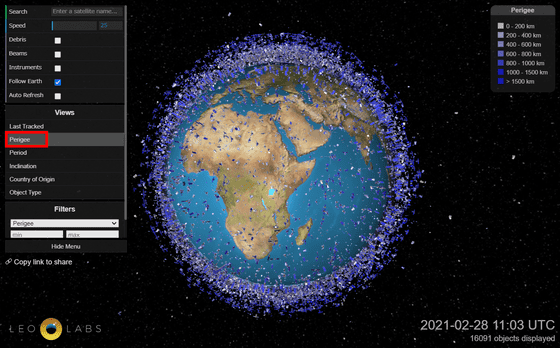
By default, artificial satellites are color-coded by 'Last Tracking', but you can color-code them by altitude at the perigee by clicking 'perigee'. The darker the blue color, the higher the altitude of the perigee.
In addition, 'Period' and ...
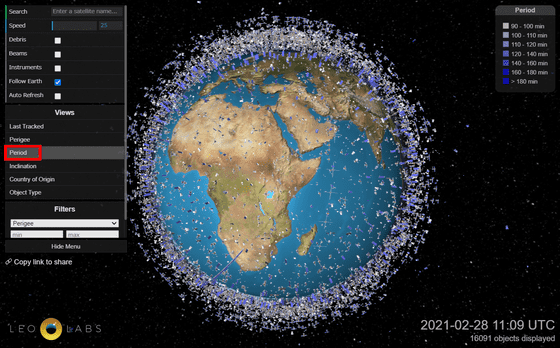
'
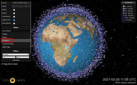
'Country of Origin'
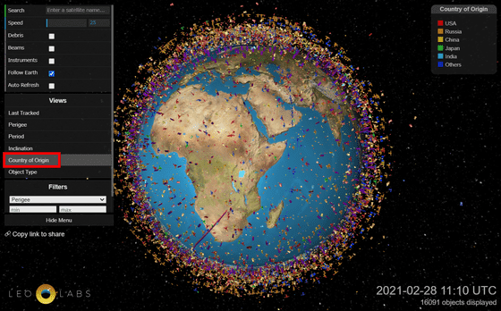
It can be color-coded by 'Object Type' etc.
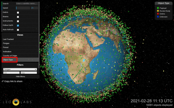
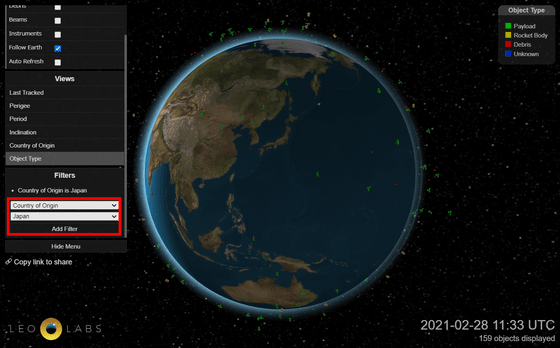
'Filter' can be used to filter artificial satellites by the above factors. For example, if you set 'Country of Origin' to 'Japan' and click 'Add Filter', only Japanese artificial satellites will be displayed.
Related Posts:
in Web Service, Review, Posted by log1l_ks


