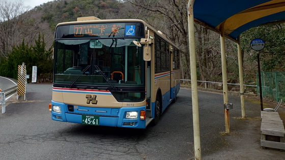
A trip on local buses from the northernmost to the southernmost bus stop in Osaka Prefecture [Izumi Edition]
This is the second day of a trip on local buses that will take you from the northernmost bus stop 'Toyonaka Center-mae' in Osaka Prefecture to the southernmost bus stop 'Sasegawa' in Osaka Prefecture, using only local buses. On the first day, we went south from Nose Town, via Kawanishi City in Hyogo Prefecture, to Toyono Town, Minoh City, Toyonaka City, Osaka City, and Sakai City. Finally, we got off the bus and walked, reaching 'Izumi Chuo Station' in Izumi City. On the second day, we will start from 'Izumi Chuo Station'.
Please read the article below to find out what happened on the first day.
·table of contents
◆ Community bus continuous transfer service begins in Kaizuka City: 'Hamoni Bus'
◆To Izumisa Community Bus
◆The transfer to the Sennan City Community Bus is scheduled in 2 minutes
◆ To Tarui Station via AEON Mall
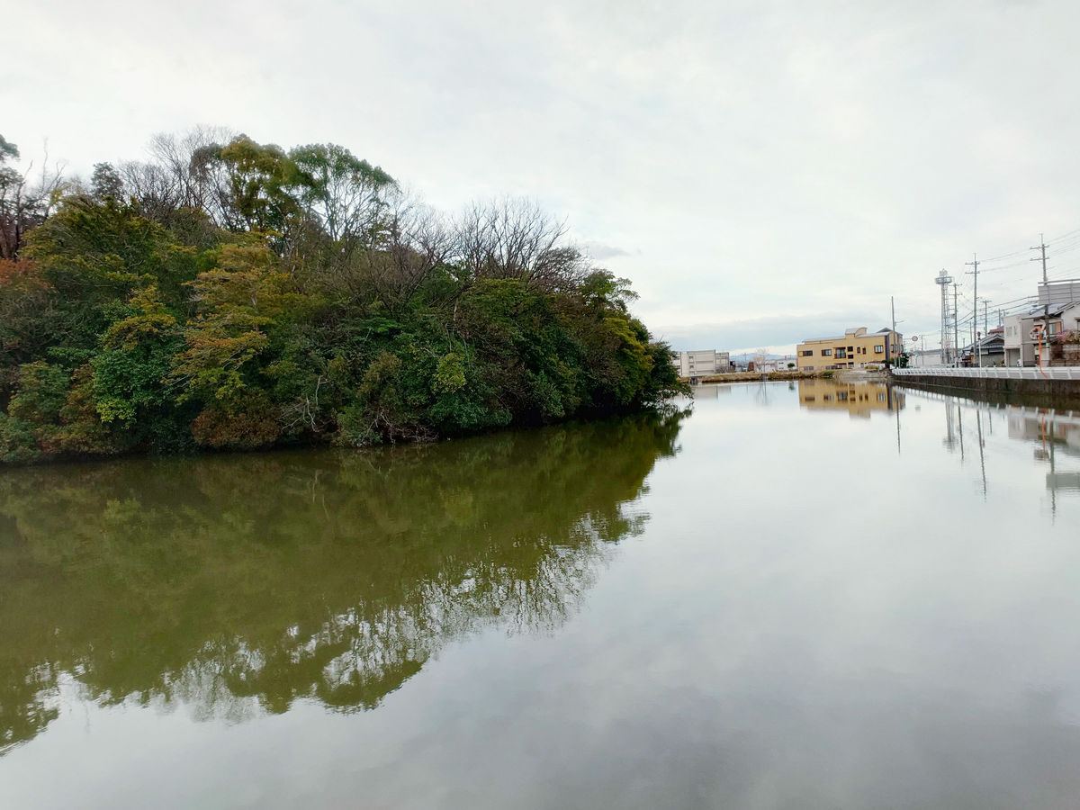
◆The 40-minute walk across the Otokozato River
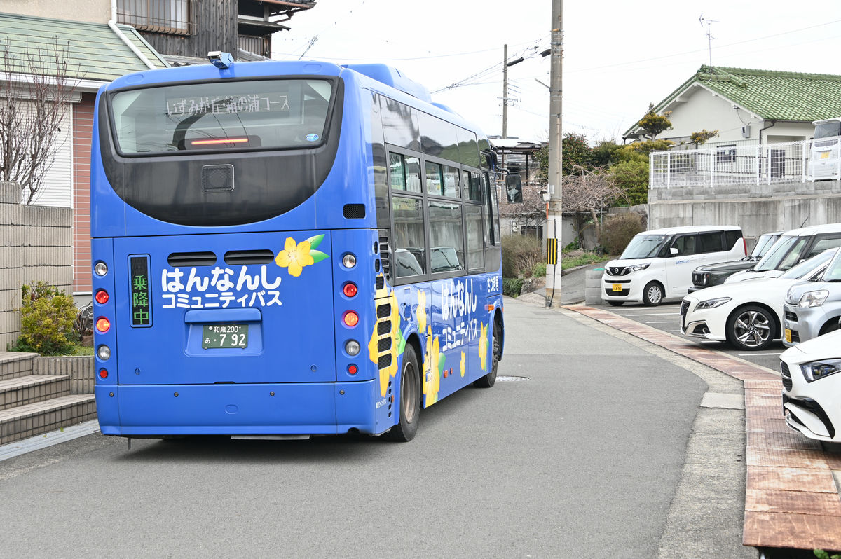
◆Continue west on the Hannan City Community Bus
Entering the southernmost municipality, Misaki Town
◆To the very back of the branch line, the southernmost bus stop in Osaka Prefecture, 'Sasegawa'
◆ After seeing off the last bus, we crossed the mountain pass on foot
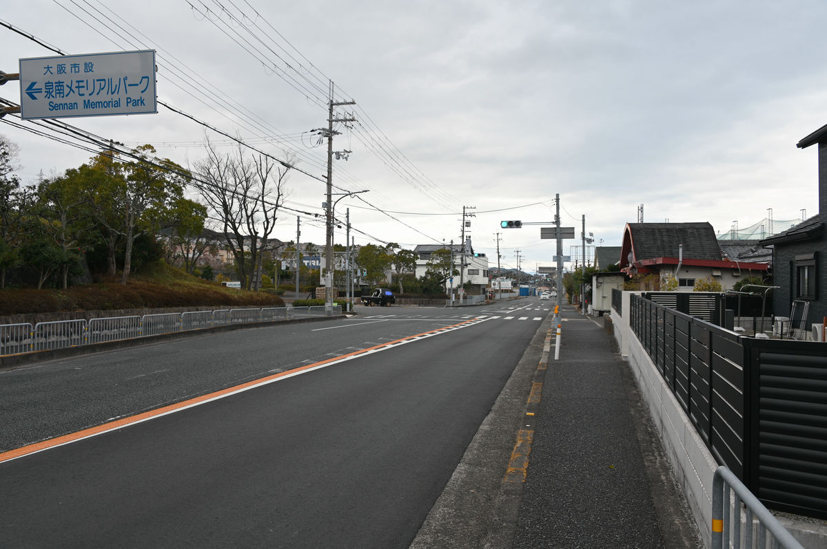
From Izumi City to Kishiwada City
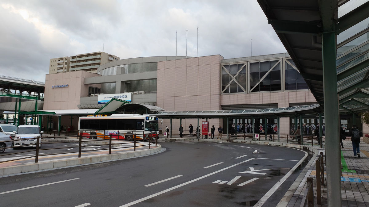
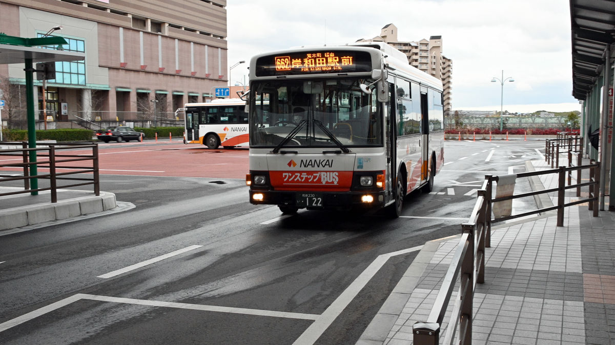
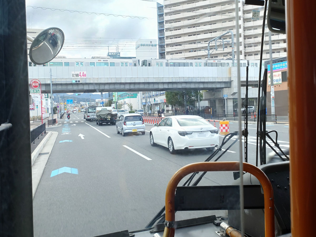
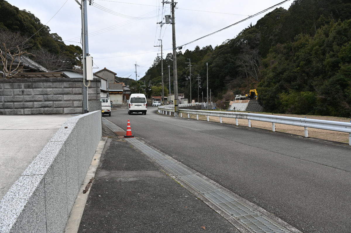
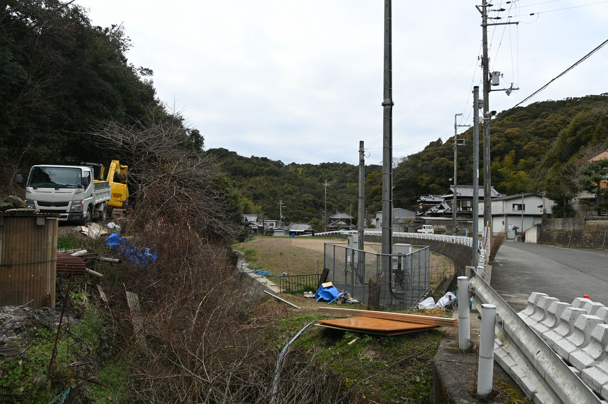
On the second day, I returned to Izumi Chuo Station around 7am. There were constant traffic at the roundabout for commuting to and from work and school.
A row of
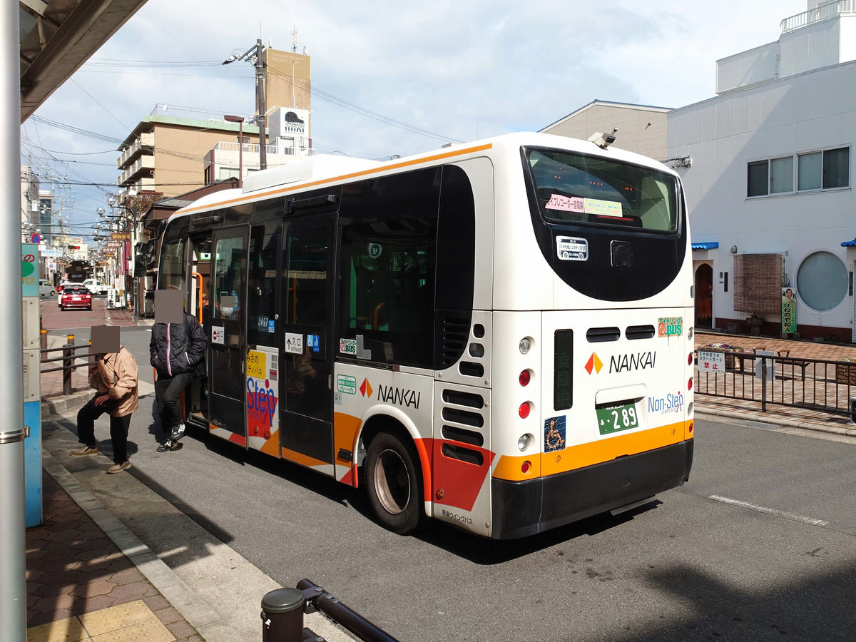
Nankai Wing Bus Route 662 bound for Kishiwada Station arrived. It departed at 7:36.
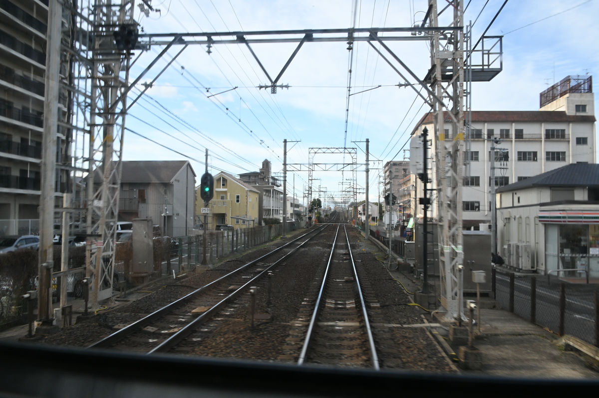
I saw Mayuyama Kofun from the train window. It is said to be one of the largest early Kofun periods outside of the Yamato region.
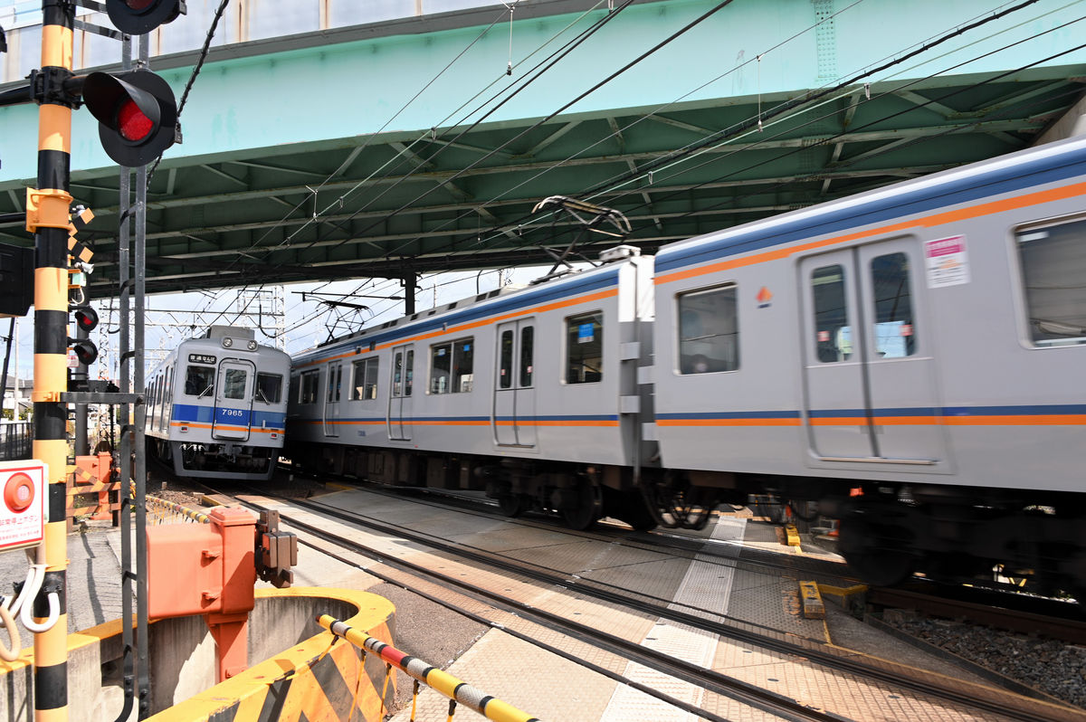
The bus crosses the Hanwa Line and then the Nankai Main Line and heads west. Here is what it looks like when it crosses the railroad crossing on the west side of Izumi-Omiya Station, and you can see that the Nankai Main Line becomes elevated as it heads towards Kishiwada Station.
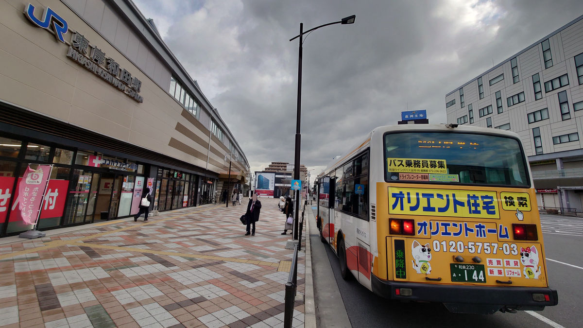
At 8:24, I arrived at the 'Kishiwada Ekimae' bus stop. The fare was 530 yen.
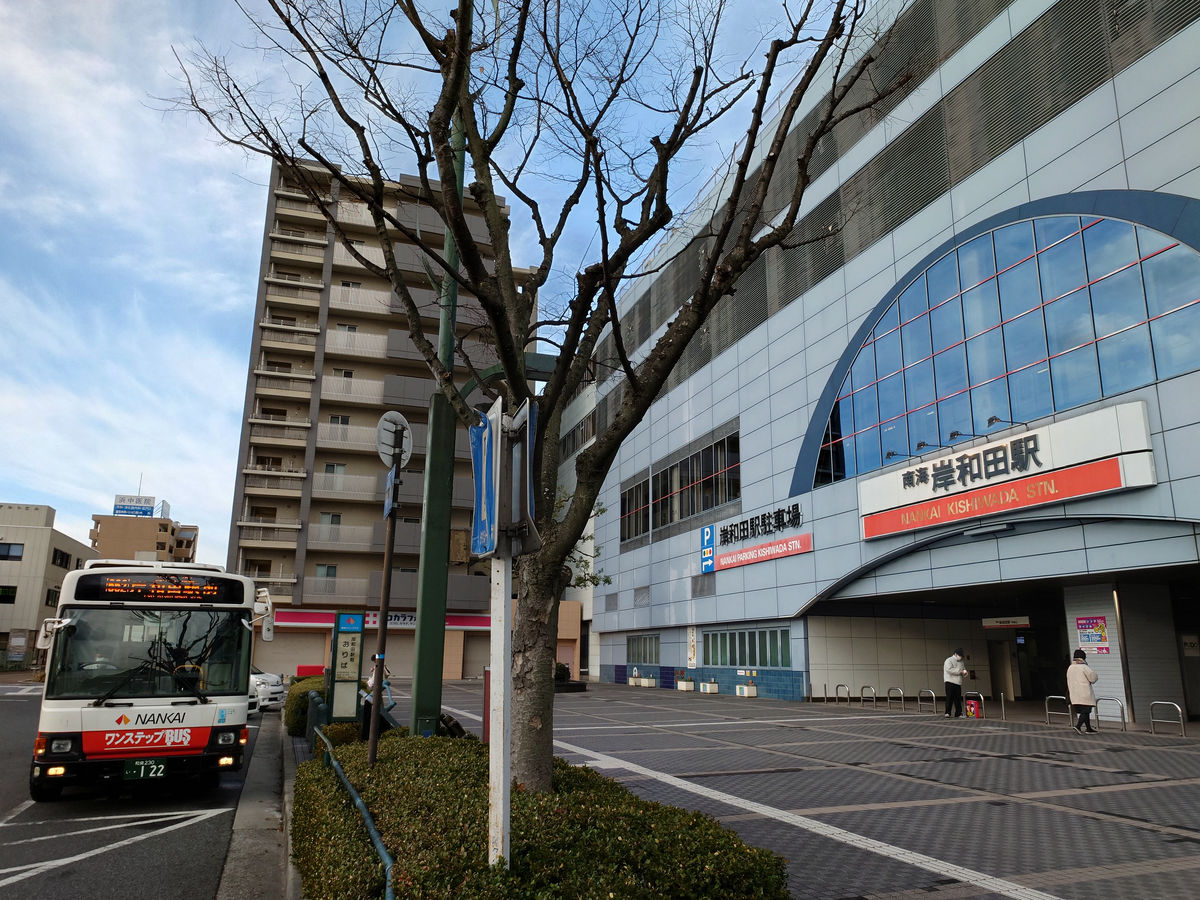
There are five bus stops right next to the drop-off point. Since we're heading to Higashi-Kishiwada Station next, we'll board at bus stops 4 or 5.
It takes 6 minutes from 'Kishiwada Station' to 'Higashi-Kishiwada Station'. Once you get on the bus, the Hanwa Line will come into view in no time.
With almost no delay, I arrived at Higashi-Kishiwada Station at 8:37. The fare was 190 yen.
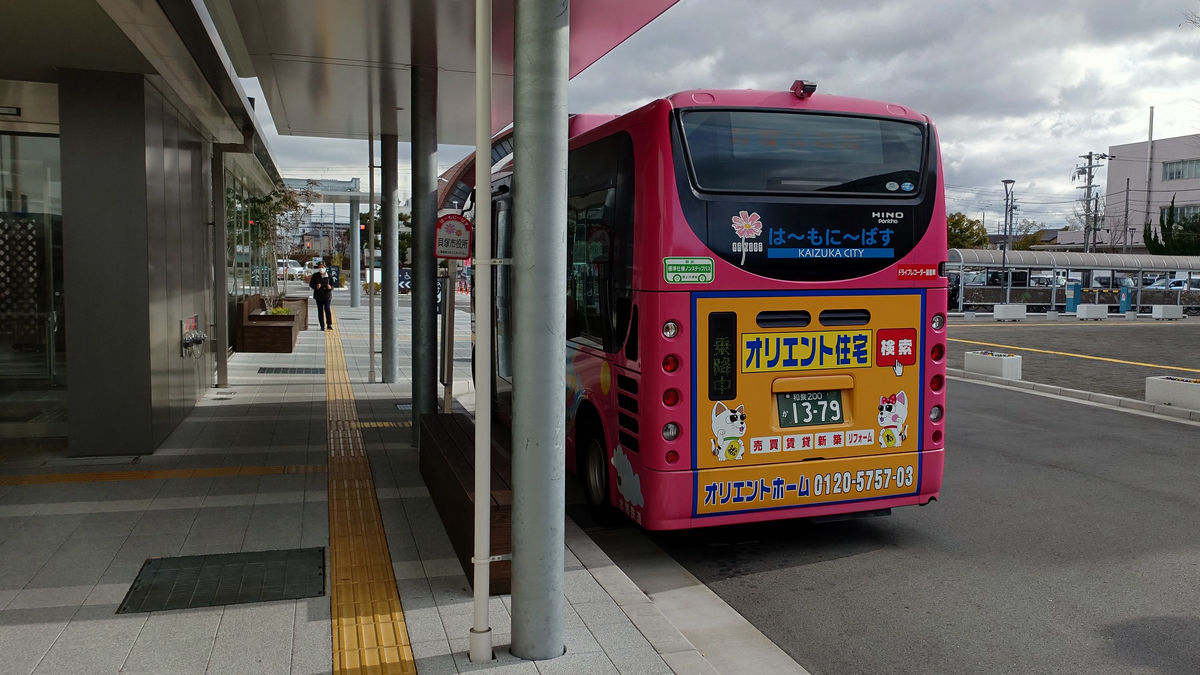
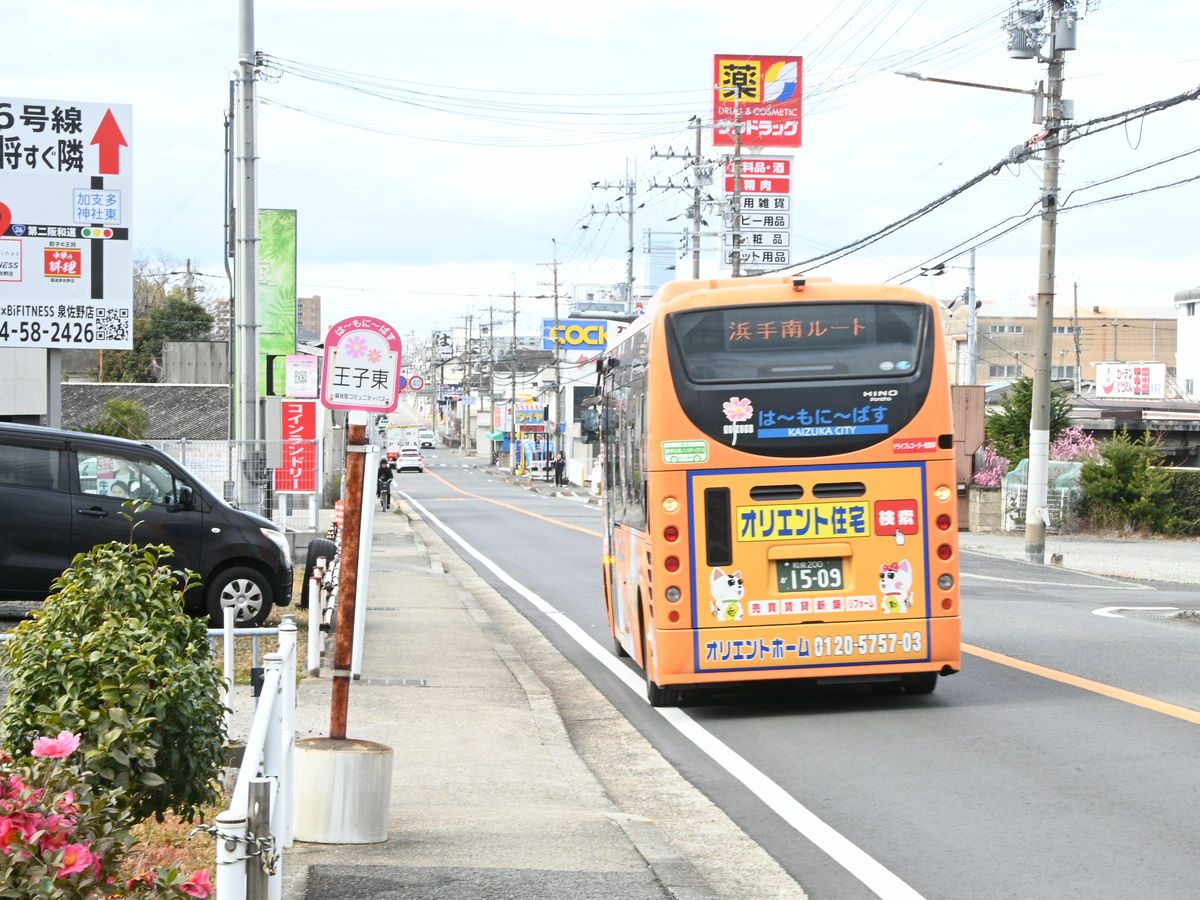
◆ Community bus continuous transfer service begins in Kaizuka City: 'Hamoni Bus'
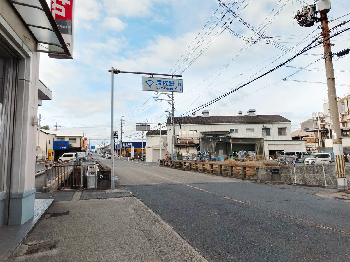
There are no bus routes from Kishiwada Station on the Nankai Main Line or Higashi-Kishiwada Station on the JR Hanwa Line to stations further west. For this reason, you will have to walk from Kishiwada City to Kaizuka City, which is next to the city to the west.
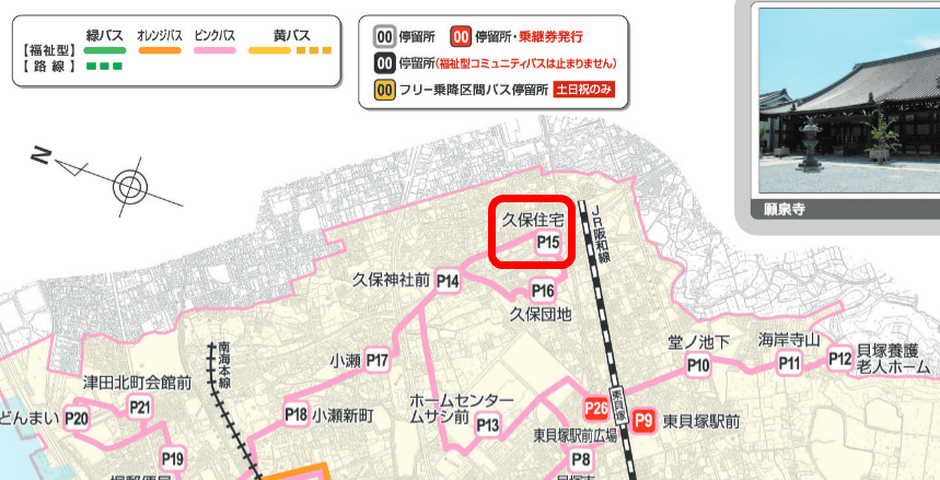
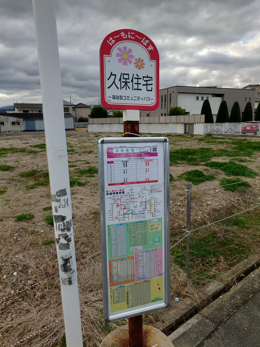
Meanwhile, within Kaizuka City, there is a 'Hamoni Bus'. There are two types: 'Route bus' and 'Welfare community bus'. The 'Welfare community bus' is just a different name, but you can ride it freely just like a regular route bus. It also accepts transportation IC cards.
'Hamoni Bus' User Guide / Kaizuka City
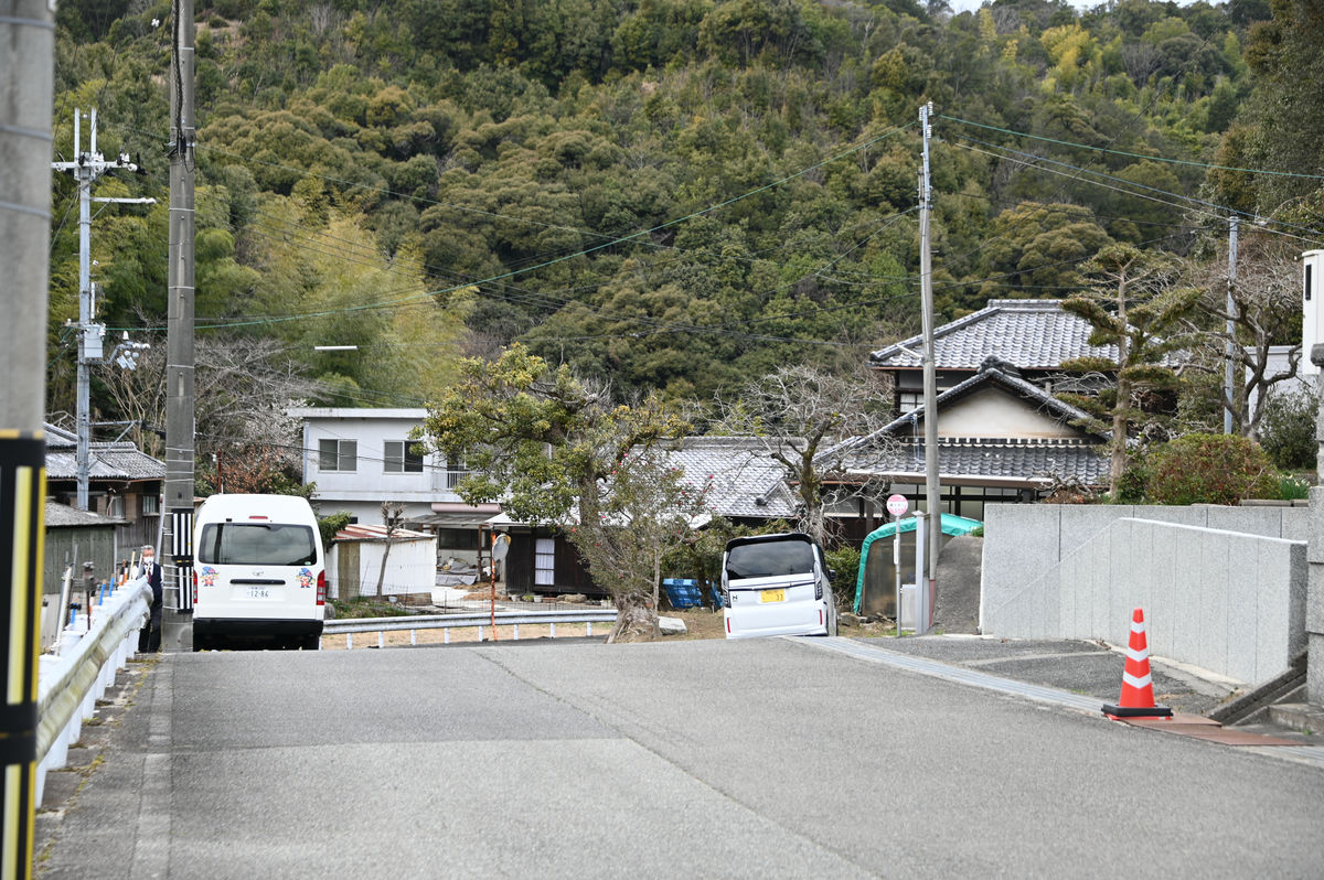
Checking the route map of the Hamoni Bus, I decided to board at the easternmost 'Kubo Jutaku' bus stop. In the map below, north is on the left and east is on the top.
We head west along the JR elevated tracks and pass by
Reached a deformed intersection.
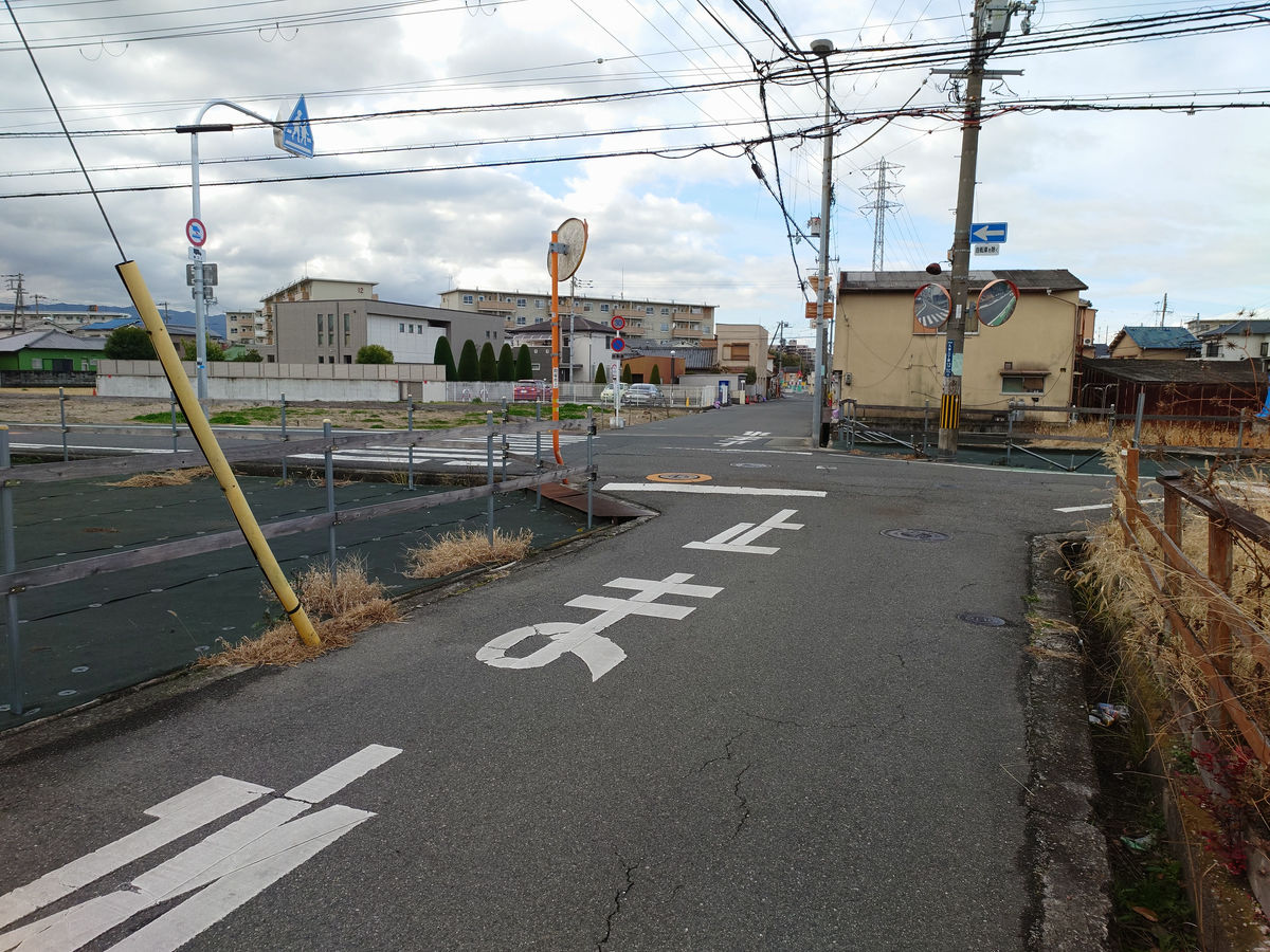
Facing the vacant lot is the 'Kubo Housing' bus stop. The first bus leaves at 9:09, so I made it there with plenty of time to spare.
The walking route from Higashi Kishiwada Station looks like this.
The pink Hamoni bus arrived a little late.
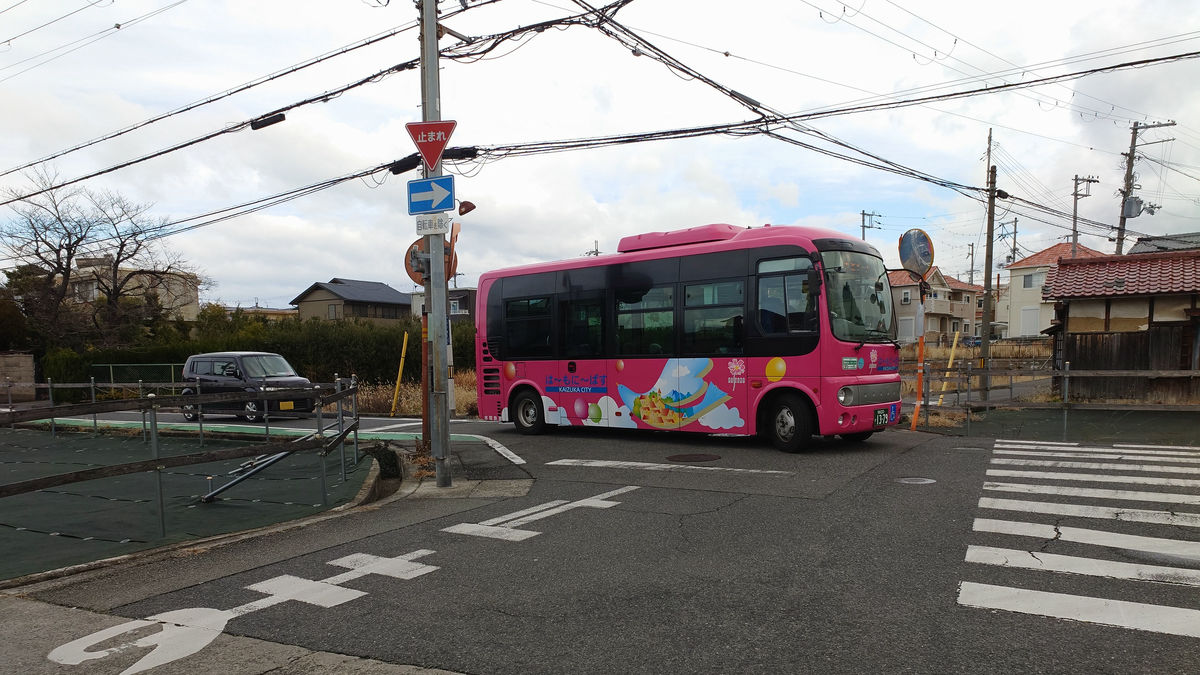
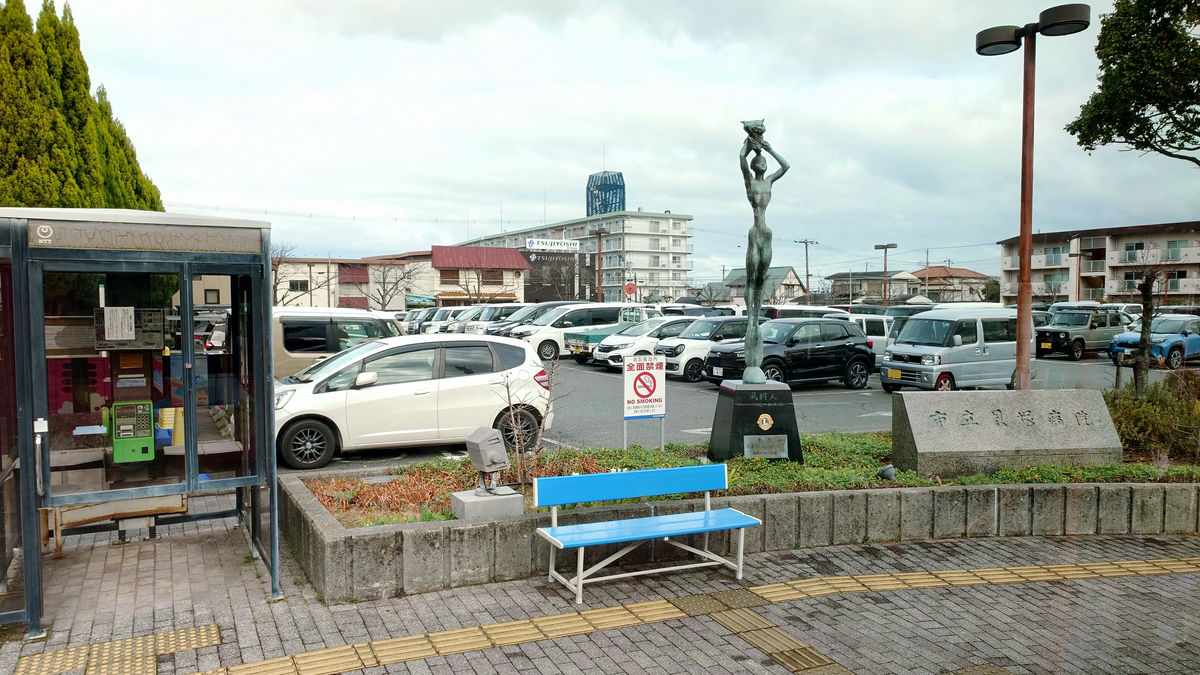
There were already passengers on board, and the number of passengers gradually increased as we headed toward Kaizuka Station and City Hall. Community buses often take routes that stop at government offices, hospitals, and large supermarkets, and many passengers get on and off at these stops, but surprisingly, there were no passengers getting on or off at the 'Municipal Kaizuka Hospital' bus stop.
Get off at the last stop, 'Kaizuka City Hall.' The fare is 220 yen. If you are transferring, you can get a transfer ticket by requesting one.
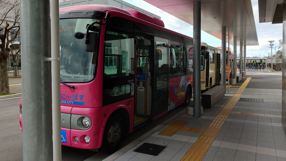
Of the four Hamoni bus routes, three - the Pink Bus, Green Bus, and Orange Bus - stop at Kaizuka City Hall, and all buses depart at the same time.
Next, transfer to the Orange Bus and head to the Oji Higashi bus stop, which is the westernmost stop in Kaizuka city. As with this map, north is on the left, so down is west.
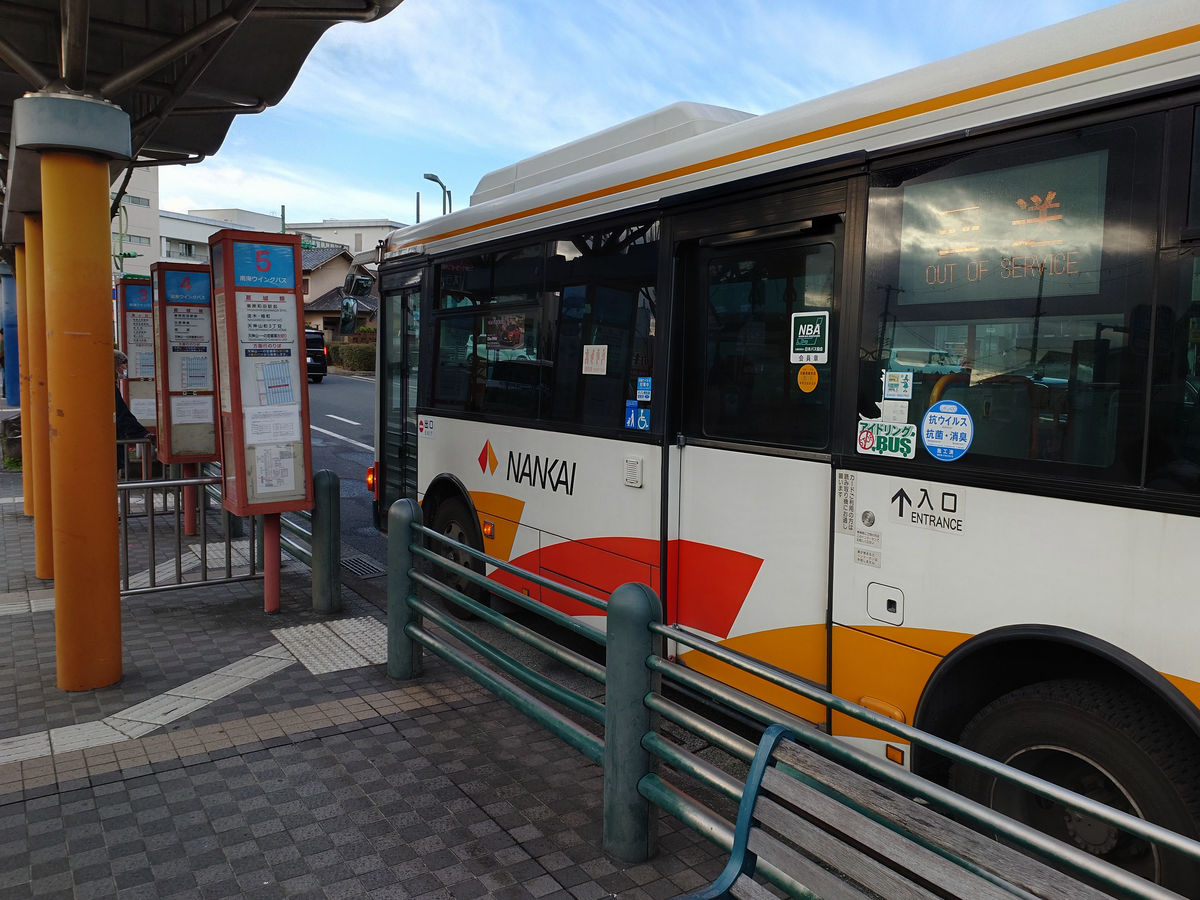
The 'Hamoni Bus' has a fixed vehicle for each route, and the orange vehicle always operates as an orange bus, so there is no way to mistake it. However, I was a little worried because the destination was displayed as 'Hamate Minami Route,' which is not indicated on the official website or anywhere else.
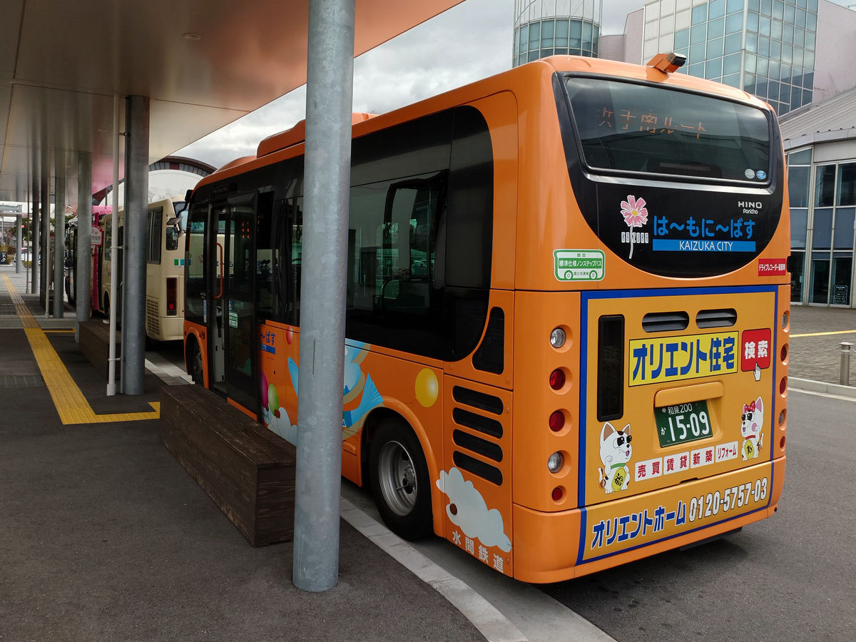
The orange bus departed Kaizuka City Hall at 9:49, went around toward Izumi-Hashimoto Station on the Hanwa Line, and passed by the Aeon Kaizuka store.
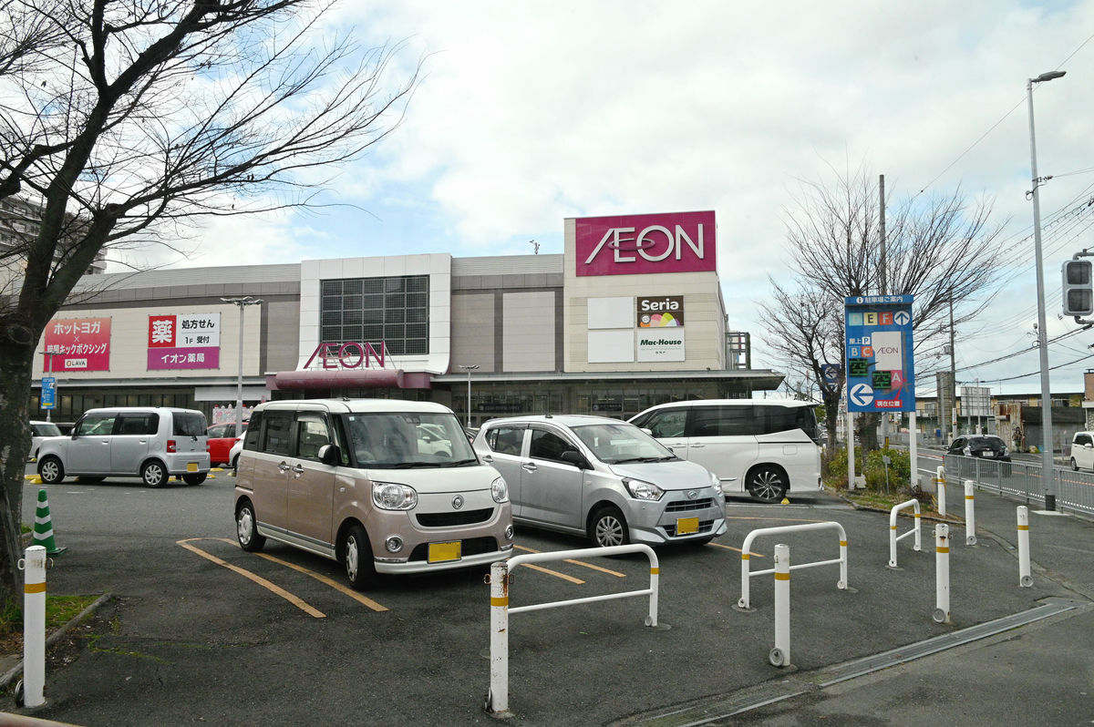
Enter Prefectural Route 30, Osaka Izumisen Minami Line, and get off at the 'Oji Higashi' bus stop, just past the Chinese restaurant 'Shukyou Sichuan Hot Pot.' I paid the fare with a transfer ticket.
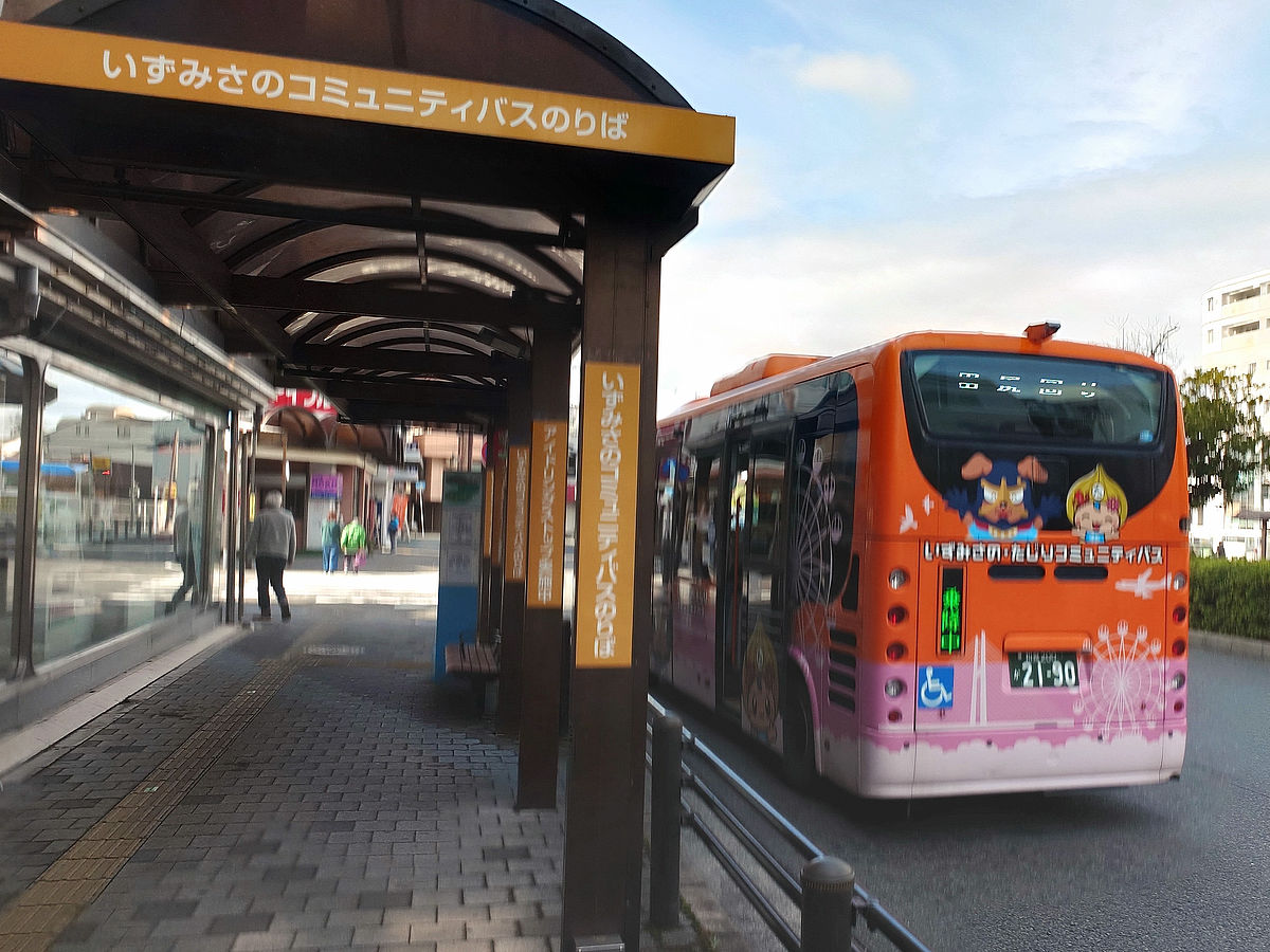
◆To Izumisa Community Bus
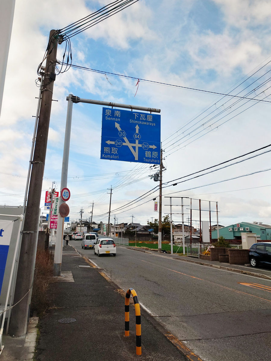
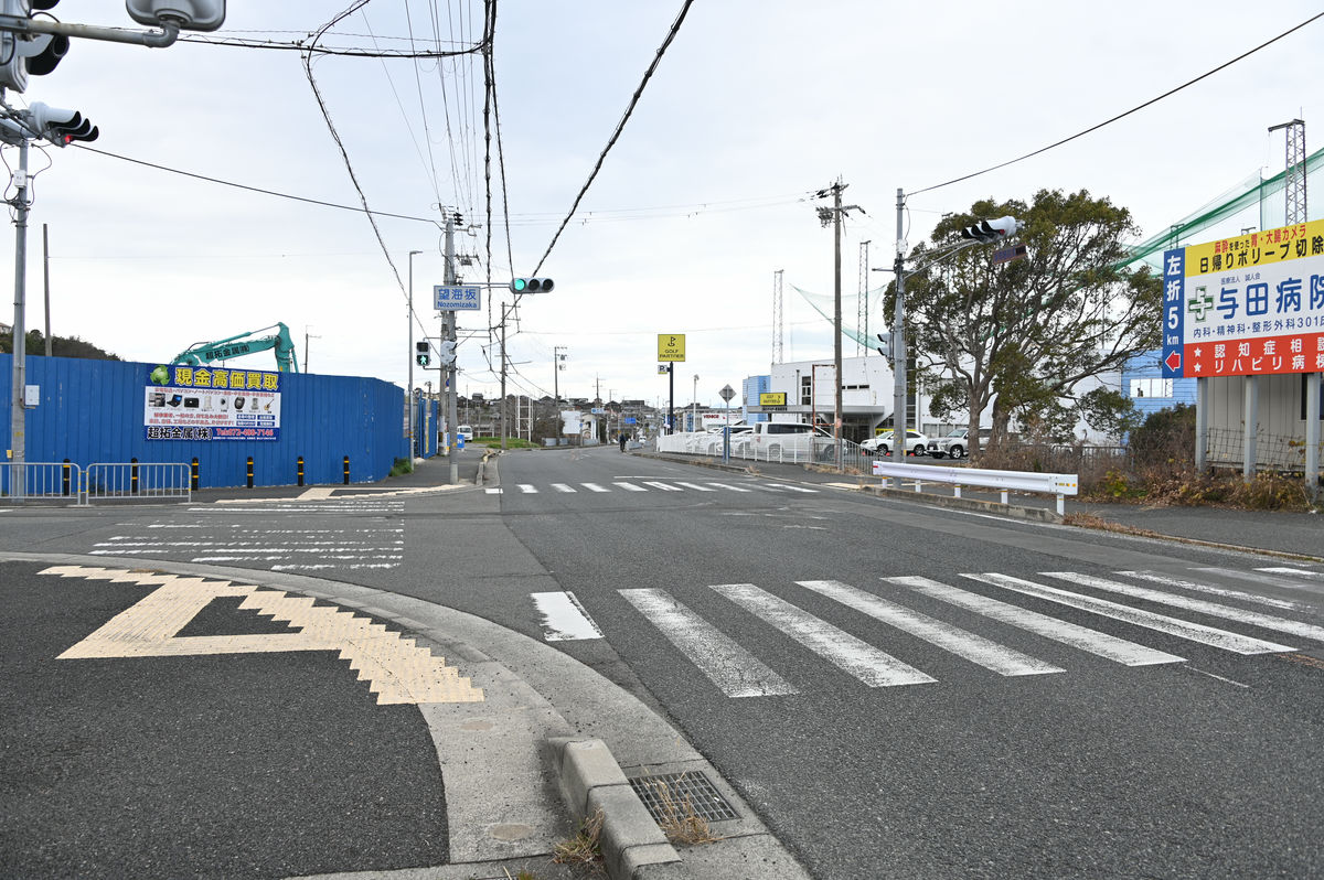
From the Oji Higashi bus stop, walk across the city border to Izumisano City.
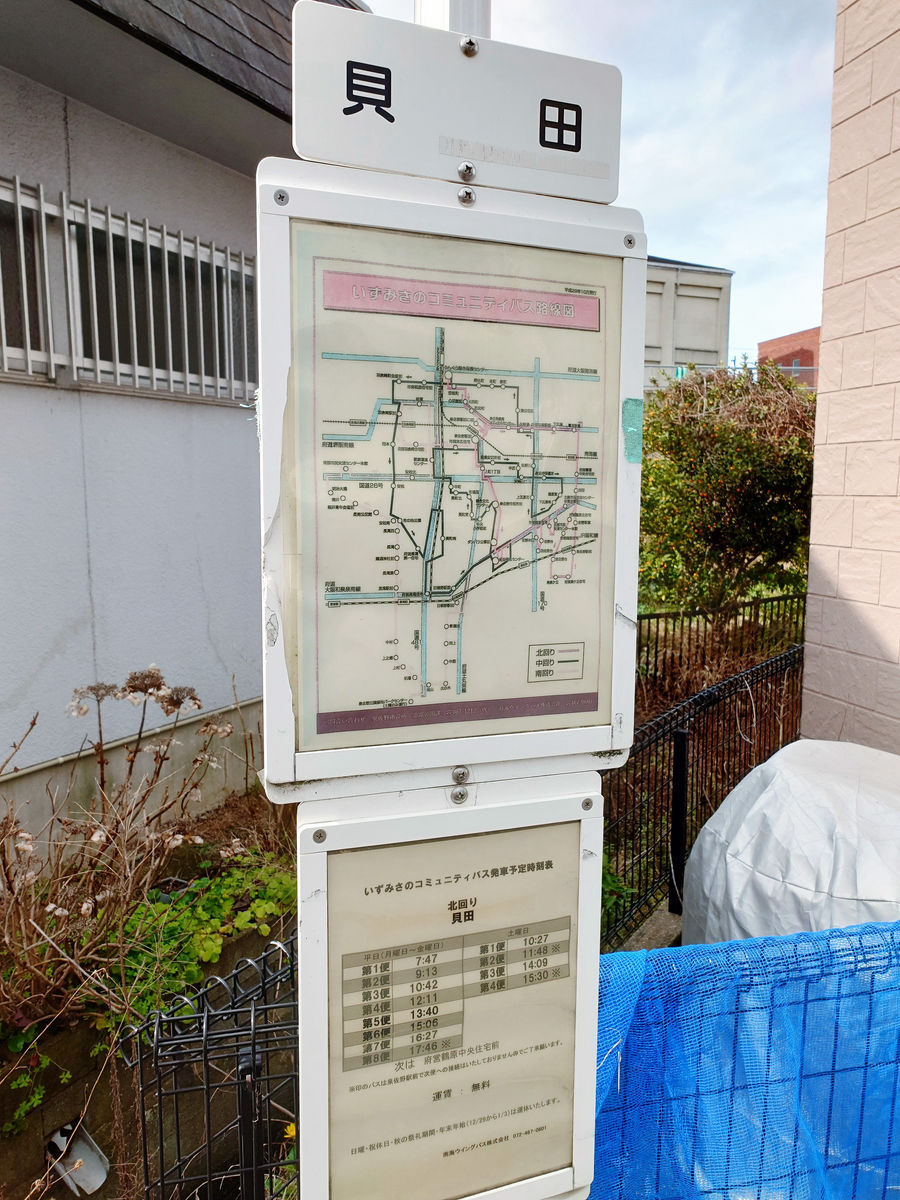
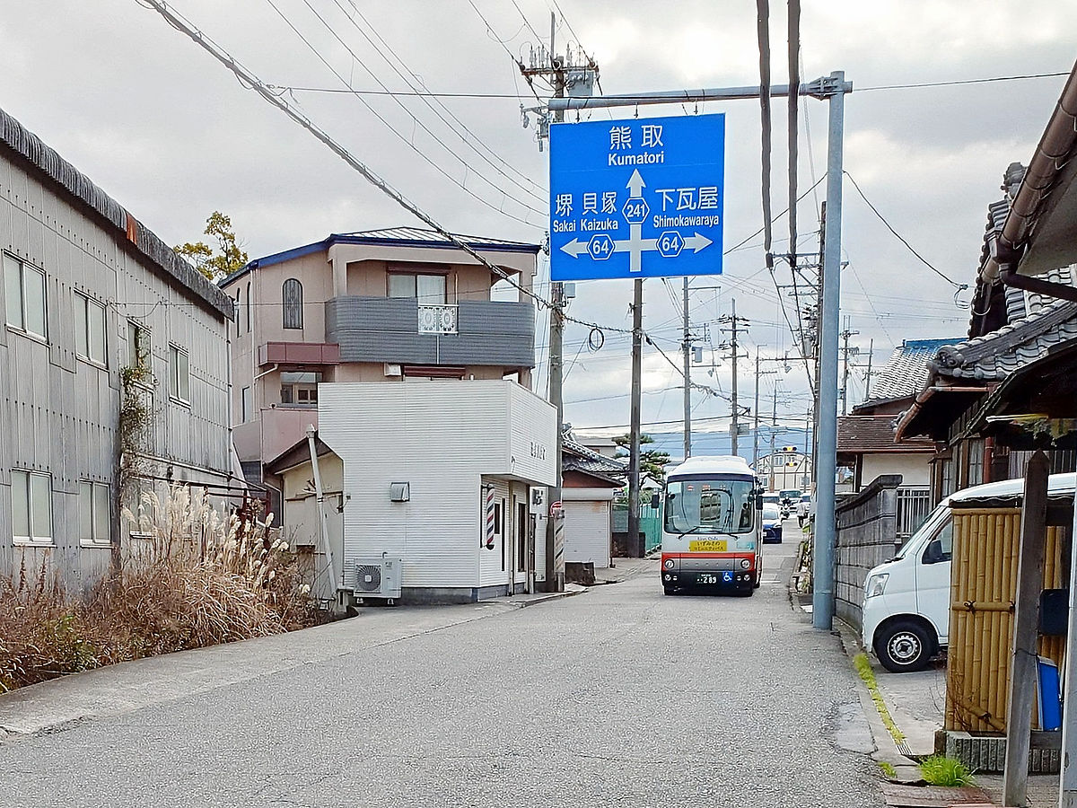
We are approaching the confusing Kaida intersection, where Prefectural Highway 30 and Prefectural Highway 64 split and Prefectural Highway 241 crosses. Next, we want to board
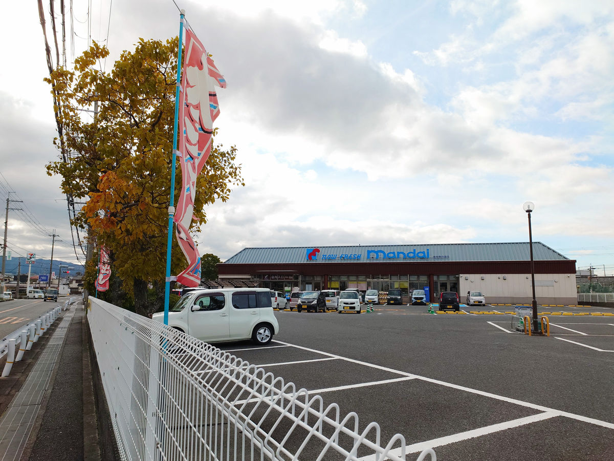
However, I had about 20 minutes to spare and couldn't bear the hunger, so I headed to the Bandai supermarket in the opposite direction from the bus stop.
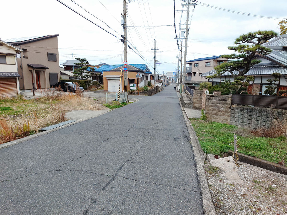
After buying some bread and drinks, I headed to the 'Kaida' bus stop. Prefectural Route 241 narrowed suddenly as I headed north from the Kaida intersection.
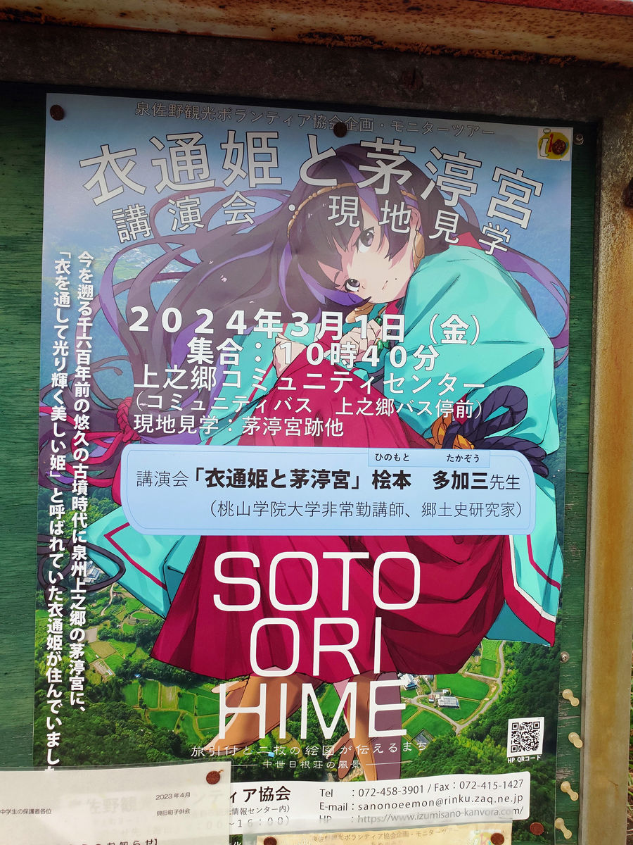
On a bulletin board in a neighborhood along the way, there was a poster for a lecture and field trip event on '
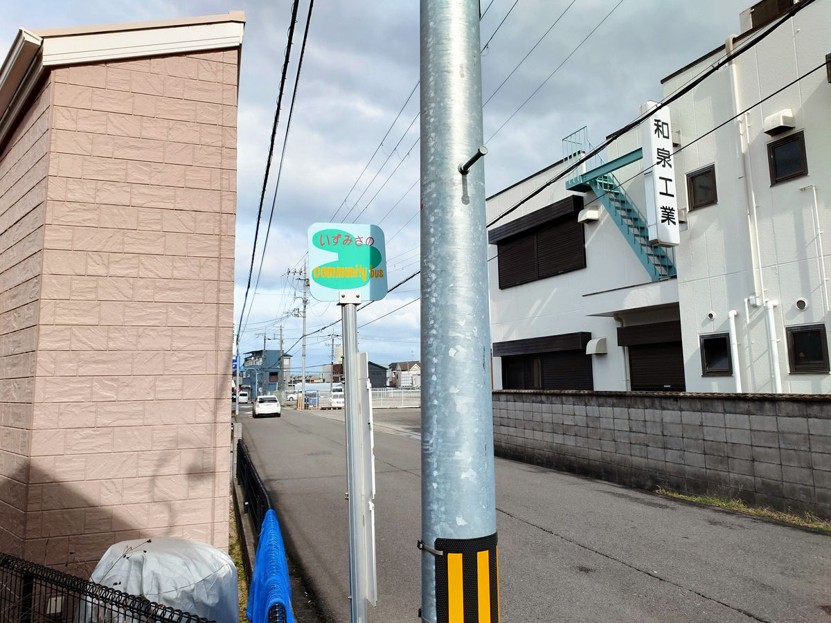
After walking a little further, I found the Kaida bus stop in front of Izumi Industries.
There are eight flights on weekdays and four flights on Saturdays.
The walking route from 'Ojihigashi' to 'Kaida' looks like this.
However, no matter how long I waited, the bus never came, and after 10 minutes I started to think, 'If I wait any longer, it might affect my travel plans, what should I do?', when from afar I saw the familiar face of a Hino Poncho approaching. The bus was so crowded that some people were standing, so it was no wonder it was delayed.
I got on the Izumisano Community Bus, Northbound. This bus headed to Rinku General Medical Center and then returned to Izumisano Station. The next bus I was going to take was leaving Izumisano Station and passing through Rinku General Medical Center, so I wanted to transfer at either Izumisano Station or Rinku General Medical Center, but at this point I was about 15 minutes late. I was resigned to the fact that I might not make it, but luckily the bus stopped in front of the west exit of Izumisano Station before going to the medical center, so I got off and made a dash for the next bus.
On this day, the hugely popular Izumisano Community Bus Northbound arrived at the 'Izumisano Station West Exit' at 11:11, 15 minutes behind schedule. The fare was 0 yen (free), so as soon as the doors opened, I quickly jumped out and made a dash for it.
I quickly walked through the station passage and got on the bus parked at the roundabout on the south side of the station. The photo is blurry because the bus was about to leave the moment I stopped.
I was in a panic at the time and jumped out, so I'm not sure when the northbound bus left the west exit of Izumisano Station, but I think if I had taken the bus to Rinku General Medical Center, it would have arrived there first and I would have been able to wait for the next bus.
◆The transfer to the Sennan City Community Bus is scheduled in 2 minutes
In the end, I ended up just making it to the transfer at Izumisano Station, but I knew from the start that it would be difficult to transfer from the next
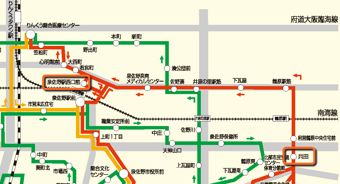
Specifically, take the Izumisano-Tajiri Community Bus from 'Izumisano Station' to the 'Town-run Sunayama Housing' bus stop, which is thought to be the closest to Sennan City.
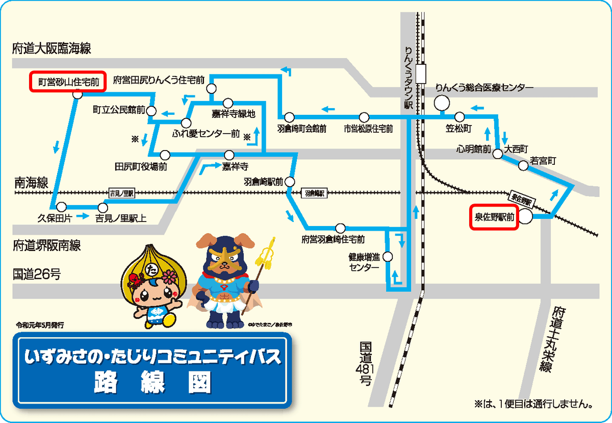
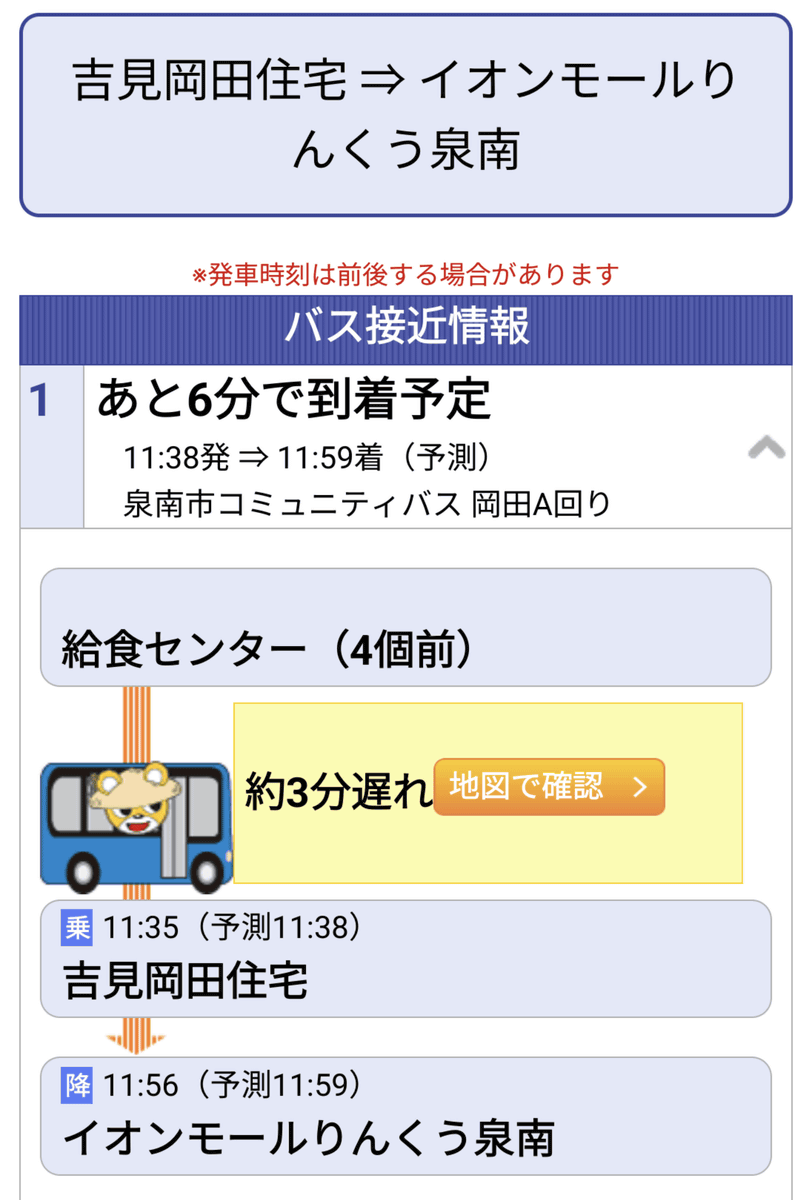
The plan is to walk from there, board the Sennan City Community Bus at the Yoshimi Okada Jutaku bus stop, which is thought to be the closest to Izumisano City, and head to the next transfer point, AEON Mall Rinku Sennan.
The route maps are different so it's hard to compare them at a glance, but on Google Maps it's 180m away. The problem is that the train is scheduled to arrive at 'Town Sunayama Jutaku-mae' at 11:33 and depart from 'Yoshimi Okada Jutaku' at 11:35, so there's only 2 minutes between them.
At most points, we were given about 10 minutes to transfer, but due to the timetable here, we had no choice but to try to make the transfer in just 2 minutes.
The Sennan City community bus has implemented a location system that allows us to check approaching bus information in real time, so we kept an eye on it throughout our journey.
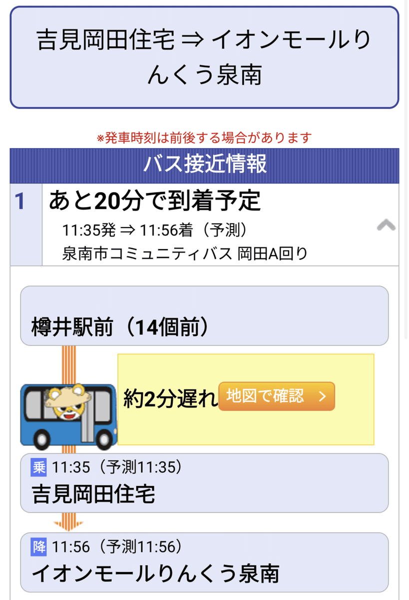
The Izumisano-Tajiri Community Bus was on a route with few traffic lights, so it proceeded almost without delay, while the Sennan City Community Bus was slightly delayed, so it looked like I would just make it in time to transfer. This is the scene just before getting off at 'Town-run Sunayama Jutaku-mae.'
However, it would be a big problem if I was overtaken while I was on my way to the bus stop, so I got off at 'Town-based Sunayama Housing Front' and moved as fast as I could. Because of that, the shutter speed and exposure settings of the photo of the departing Izumisano-Tajiri Community Bus were wrong, and I ended up with this.
I didn't want to waste time trying to take the photo again, so I quickly headed to the Yoshimi Okada Housing bus stop.
We arrived at 11:35, so if we had stayed on schedule, we would have missed the bus, but we made it in time as the expected arrival time was 11:40. We waited for the bus, regretting that we should not rely on luck in our travel plans.
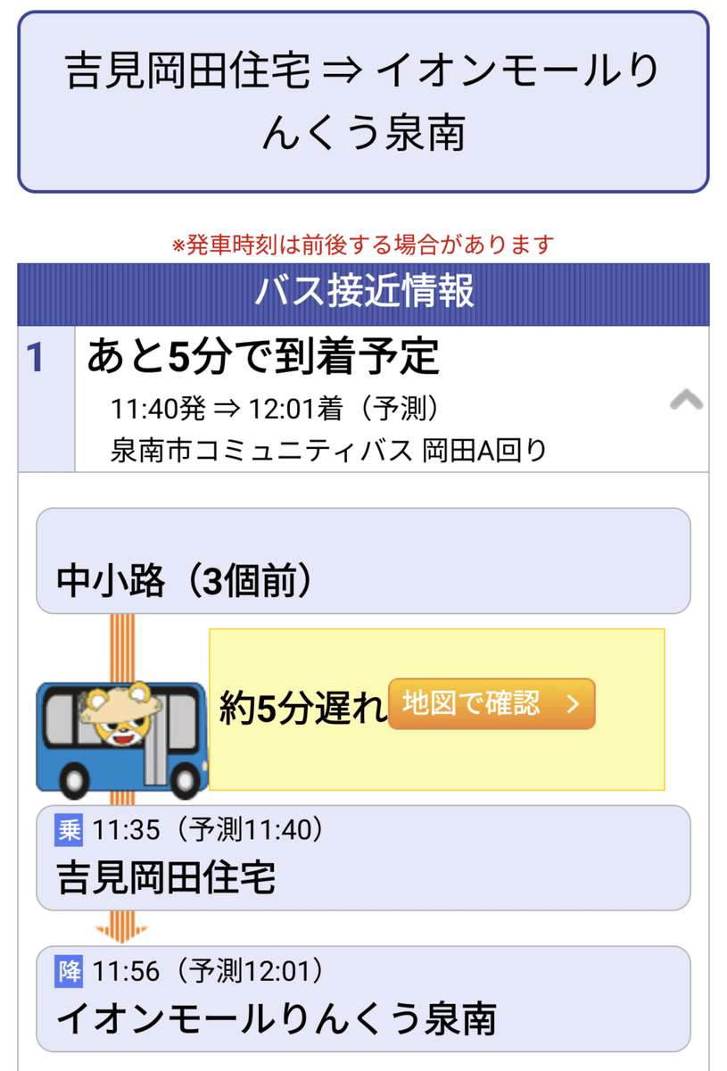
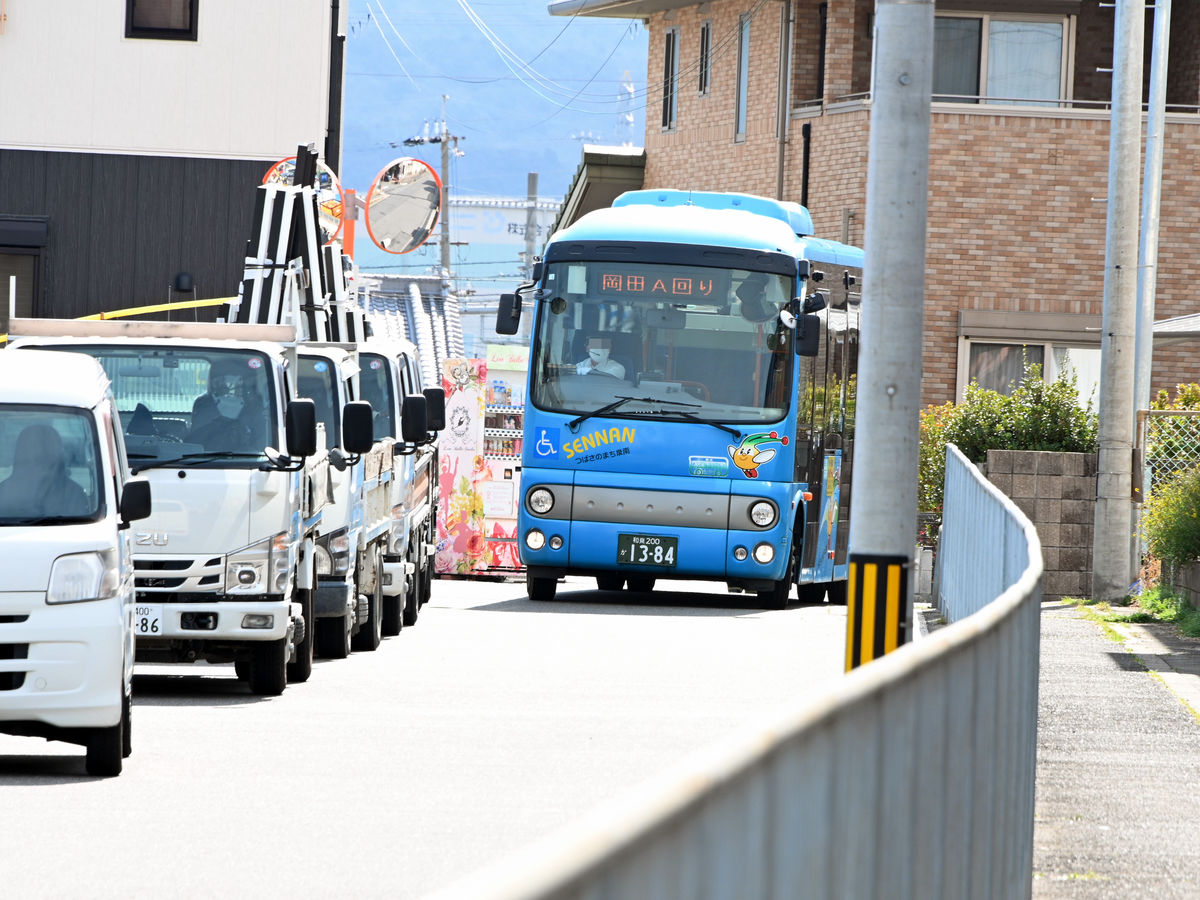
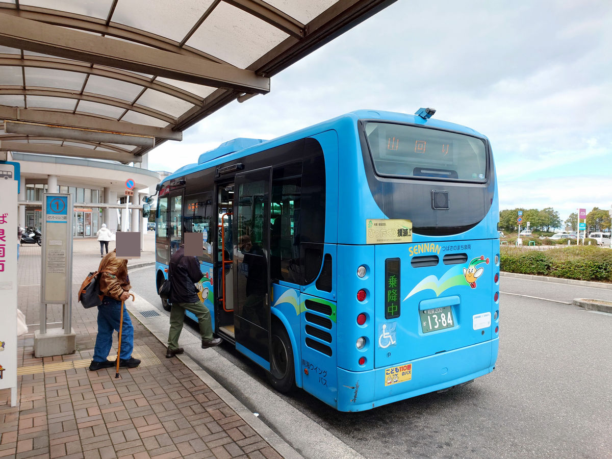
Due to road construction work taking place along the route that day, the Sennan City Community Bus Okada A route did not arrive until 11:41.
◆ To Tarui Station via AEON Mall
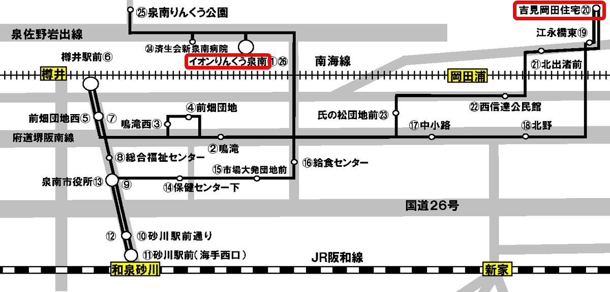
From Yoshimi Okada Housing, first change to the Sennan City Community Bus on a different route at AEON Mall Rinku Sennan and head to Tarui Station.
As mentioned above, due to construction work, the bus was 8 minutes late when I got on, and arrived at AEON Mall Rinku Sennan at 12:04. The fare was 100 yen.

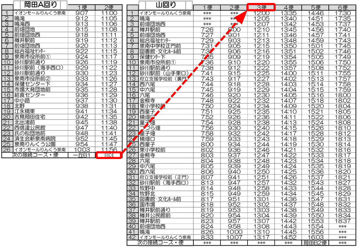
Originally, I was planning to transfer to 'Mountain Route 3' from here, but the departure time was 4 minutes before 12:00. The next bus to Tarui Station was 'South Route 2' at 12:50, so I looked around and noticed a few people lined up at the bus stop. 'Well,' I thought, and followed them, and the bus I had been riding on arrived with a 'Mountain Route' sign.
Although the timetable did have a column for 'Next connecting route/flight,' I had thought that it only meant 'Connecting is possible if on time,' so this was very helpful.
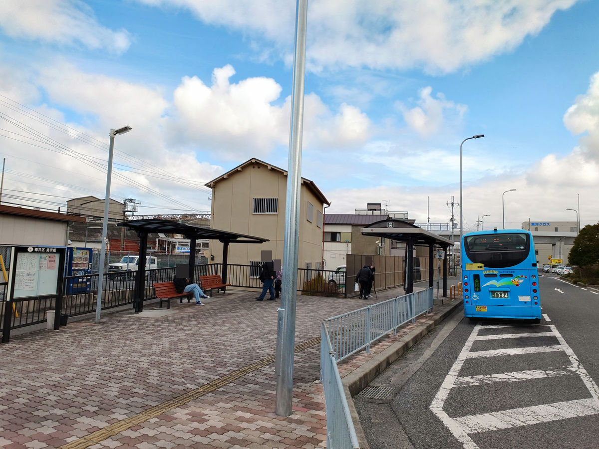
Thanks to the transfer, I arrived at 'Tarui Station' at 12:15. The fare here was also 100 yen.
◆The 40-minute walk across the Otokozato River
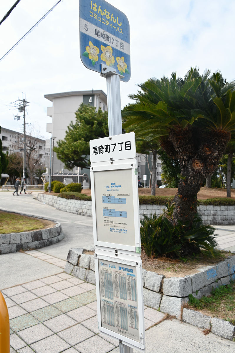
Tarui Station on the Nankai Main Line is the westernmost station in Sennan City, and the next station, Ozaki Station, is in Hannan City.
When considering the route ahead, one option is to take the Sennan City Community Bus, Southbound, to the 'Heated Pool Front' bus stop.
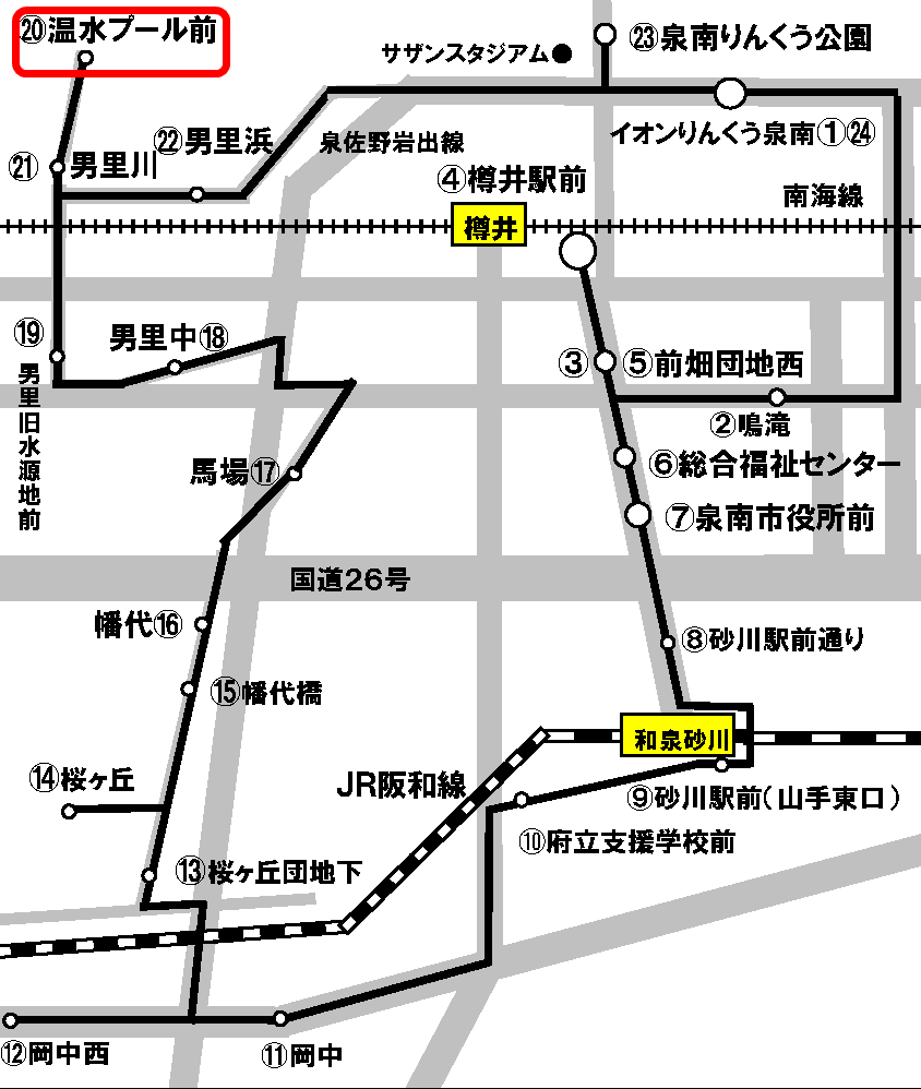
The Hannan City Community Bus Ozaki Course bus stops at this bus stop, so you can transfer there.
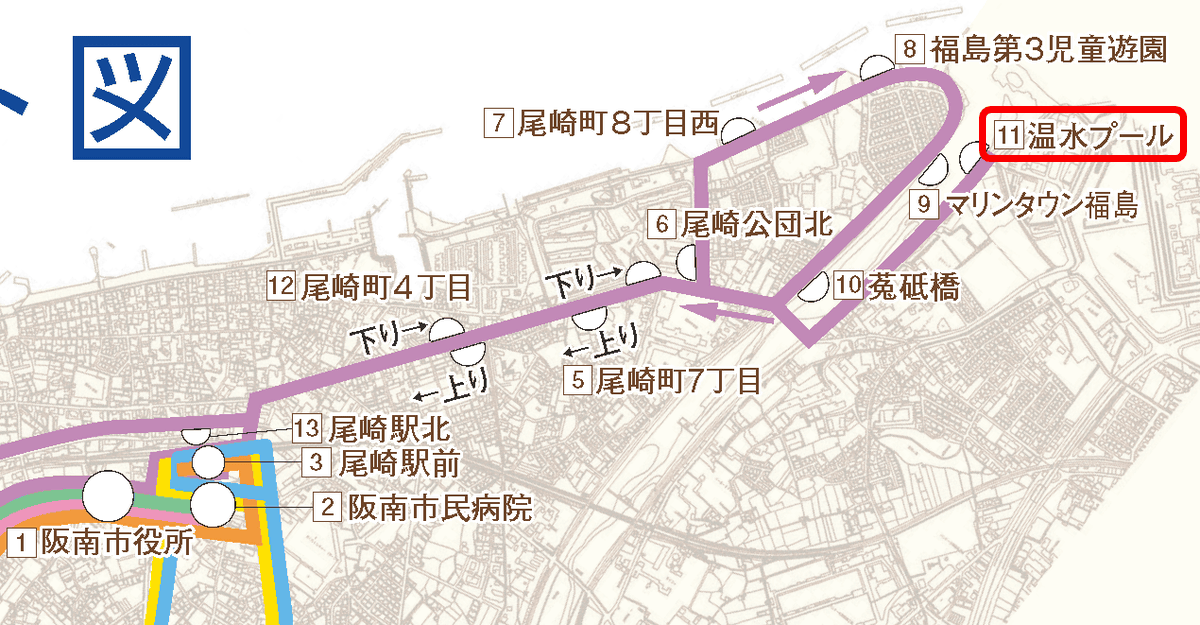
Moreover, the Sennan City Community Bus leaves 'AEON Mall Rinku Sennan' at 12:50 and 'Tarui Station' at 13:00, arriving at 'Heated Pool' at 13:35, and then the Hannan City Community Bus arrives at 13:47, so even if there was some disruption to the schedule, it would still be possible to make the connection. This is perfect...!
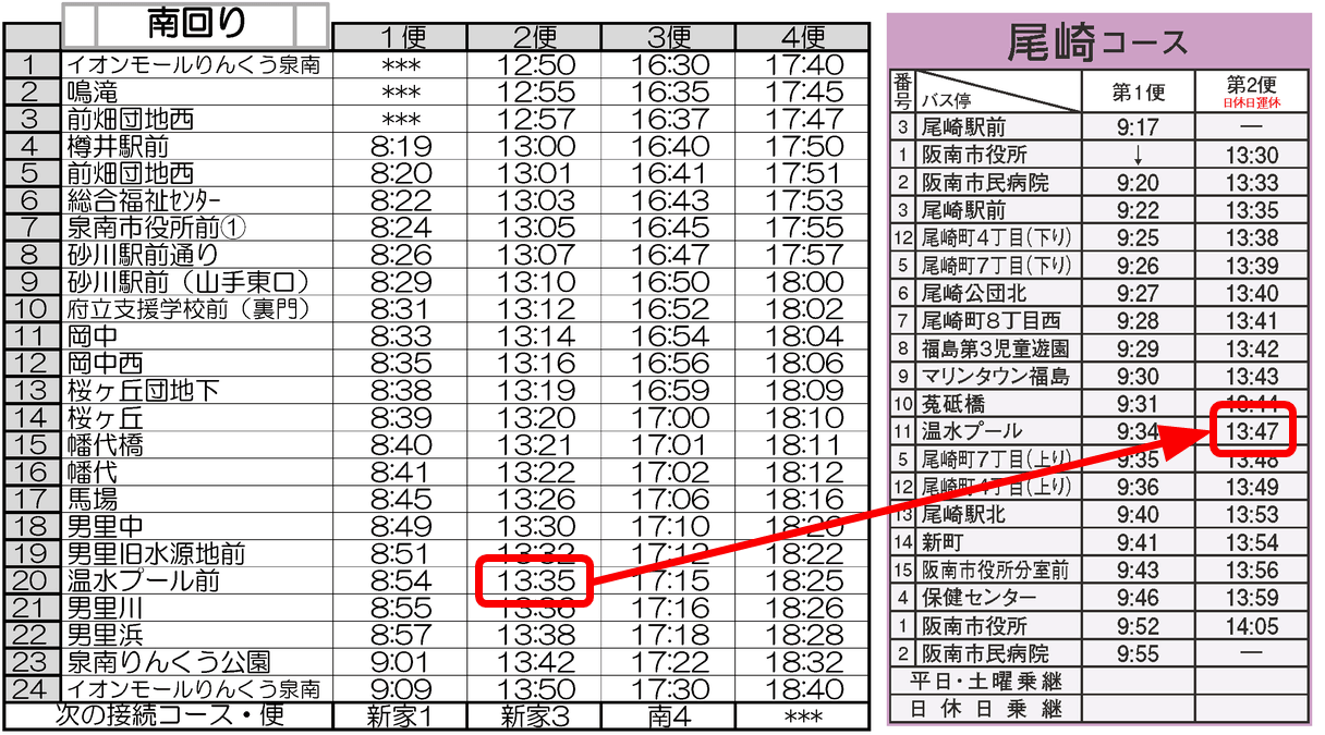
...I would like to say that, but with this transfer, by the time I arrived at 'Hannan City Hall' at 14:05, the bus heading to the west of Hannan City on the Izumigaoka-Hako-no-ura route had already departed 20 minutes earlier. The next bus was two hours later. There was just too much time lost.
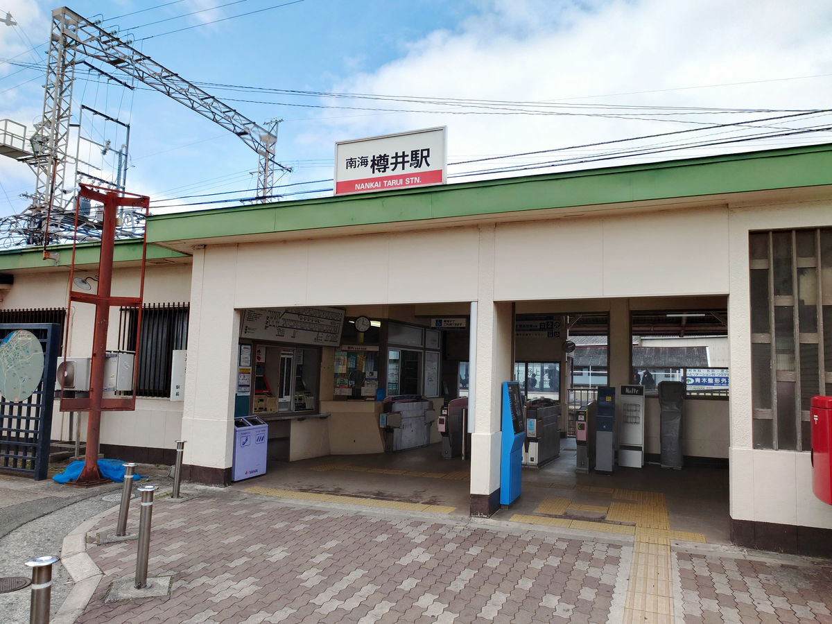
Fortunately, Tarui Station and Ozaki Station are only one station apart and the journey takes just over 30 minutes, so I decide to save time by walking.
Departs Tarui Station at 12:17.
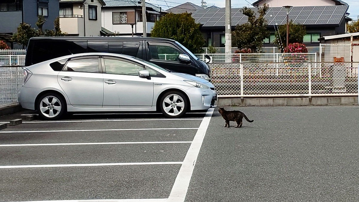
A cat in the parking lot.
Cross the railroad crossing and continue. If you travel by train between Tarui and Ozaki, it takes 3 minutes.
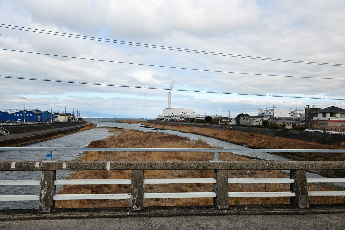
A view of the river mouth from Udo Bridge over the Oonosato River on the border between Sennan City and Hannan City. A waste incineration plant with a large chimney is adjacent to a heated swimming pool.
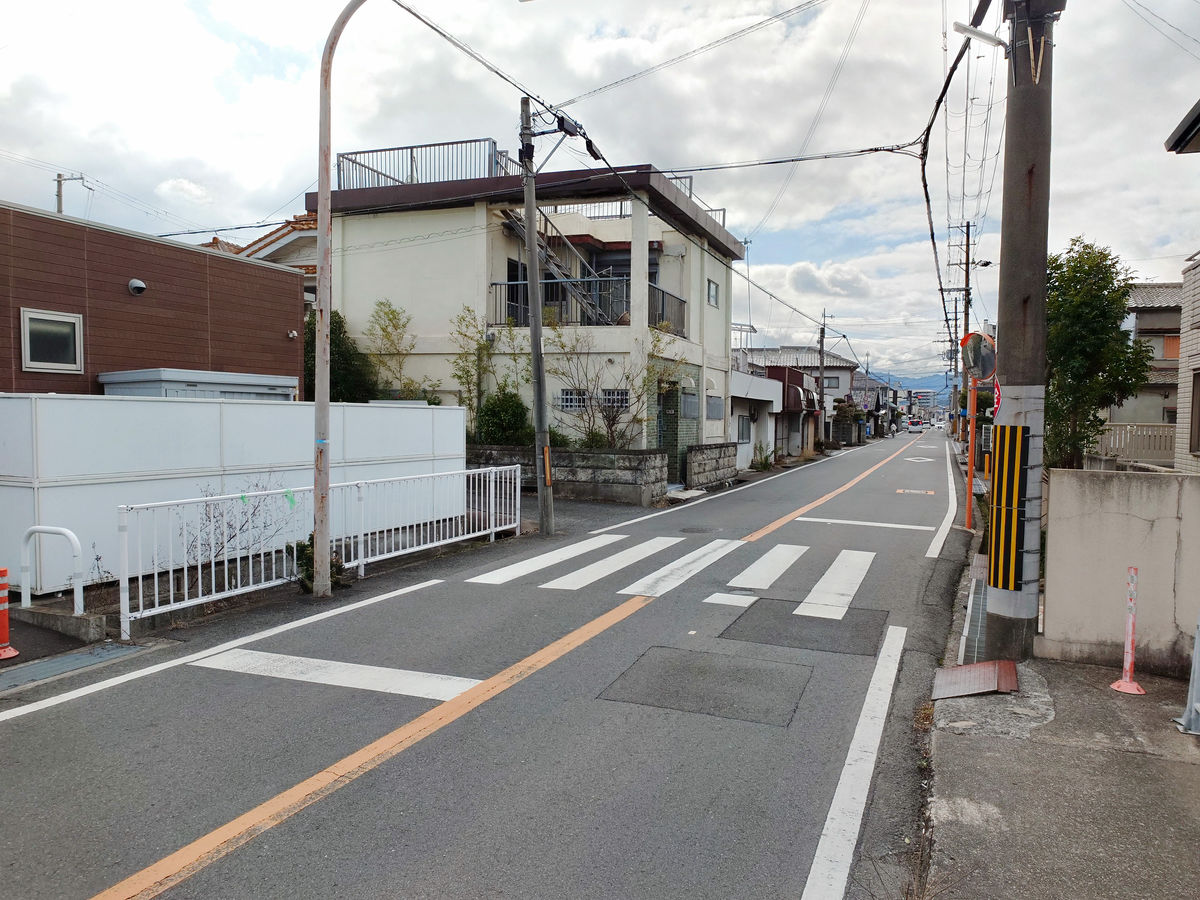
After crossing the river, we enter Hannan City.
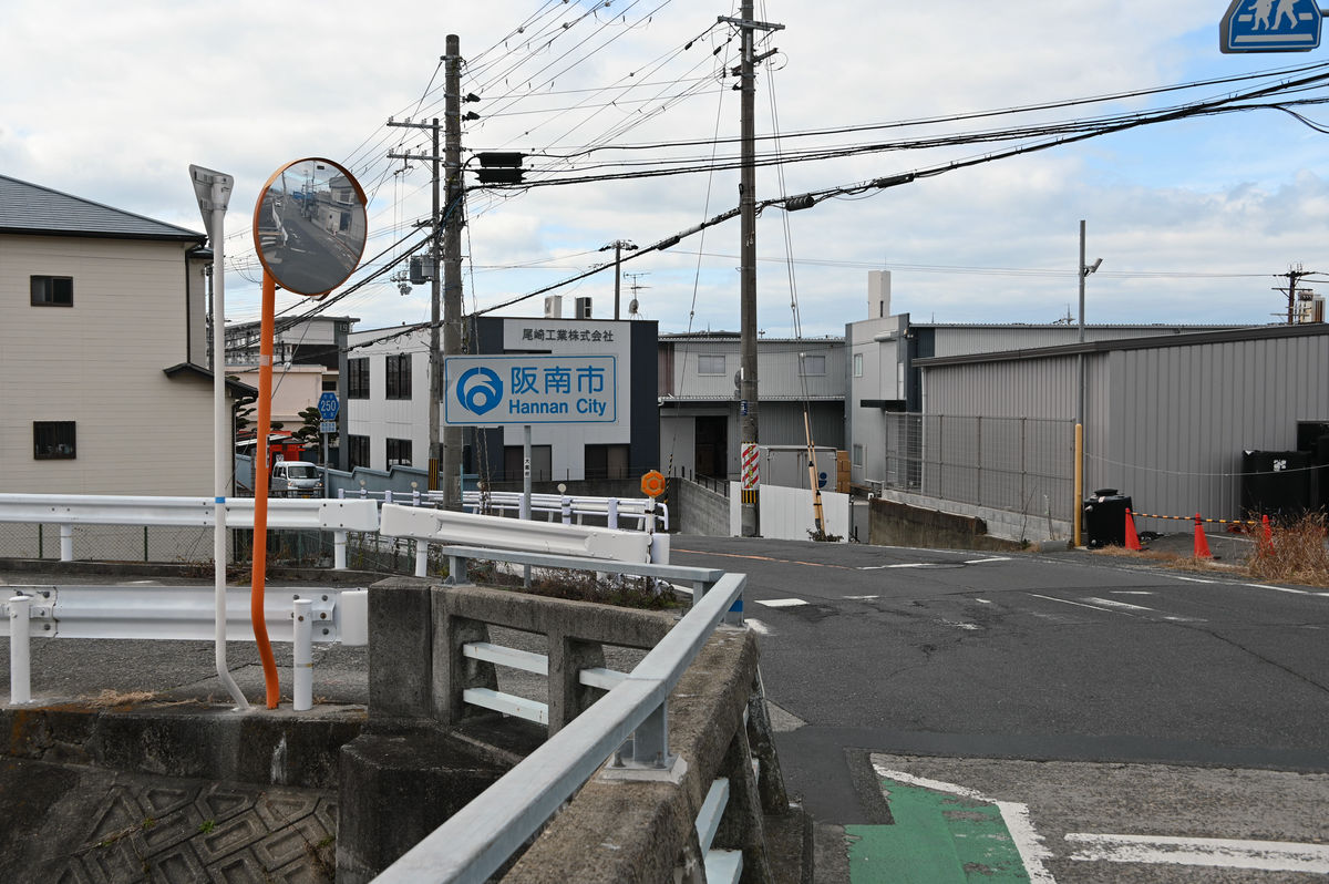
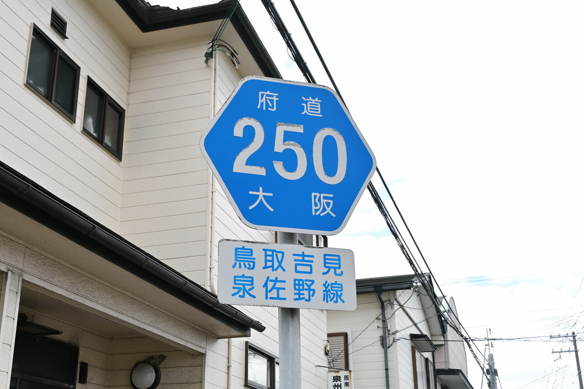
Head west on Osaka Prefectural Route 250, Tottori Yoshimi Izumisano Line.
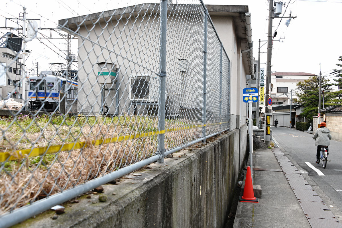
I found a bus stop called 'Ozakicho 7-chome' on the route. I knew it was going to be there, but I didn't wait because the next bus was an hour away.
There are some sidewalks along Prefectural Route 250 and some not.
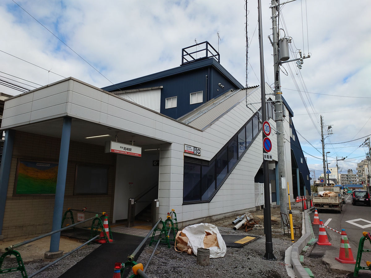
It felt like I arrived at Ozaki Station in no time. The 'Ozaki Station North' bus stop was along the road on the north side of the station.
The north exit of Ozaki Station looks like this.
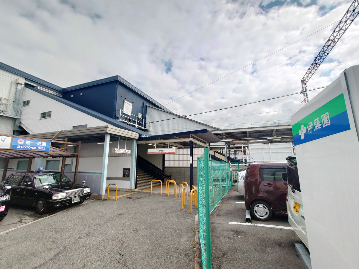
The bus terminal is at the south exit.
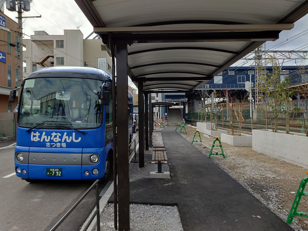
The Hannan City community bus, 'Satsuki-go,' was waiting.
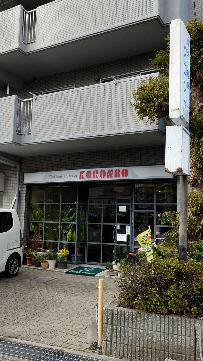
There was about 40 minutes until the next departure, so we decided to have lunch at Kuronbo, a coffee and snack shop on the street north of the station.
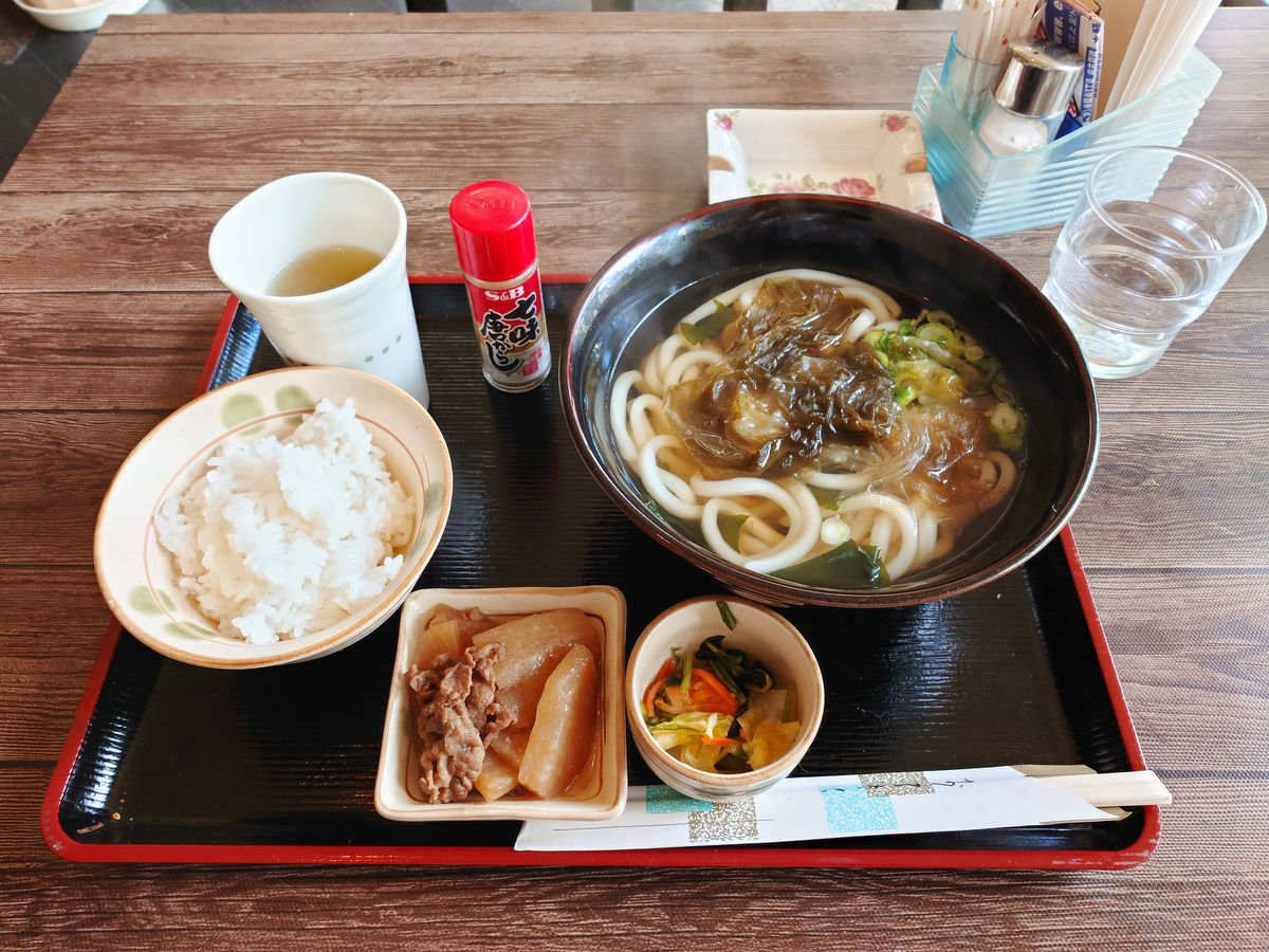
I regained my energy with a udon set meal (700 yen including tax).
◆Continue west on the Hannan City Community Bus
When I returned to the 'Ozaki Station' bus stop, a bus was waiting for me, but it was the 'Midorigaoka-Satsukidai Course' bus heading south. After this, I headed west on the 'Izumigaoka-Hako-no-ura Course' bus departing at 13:40.
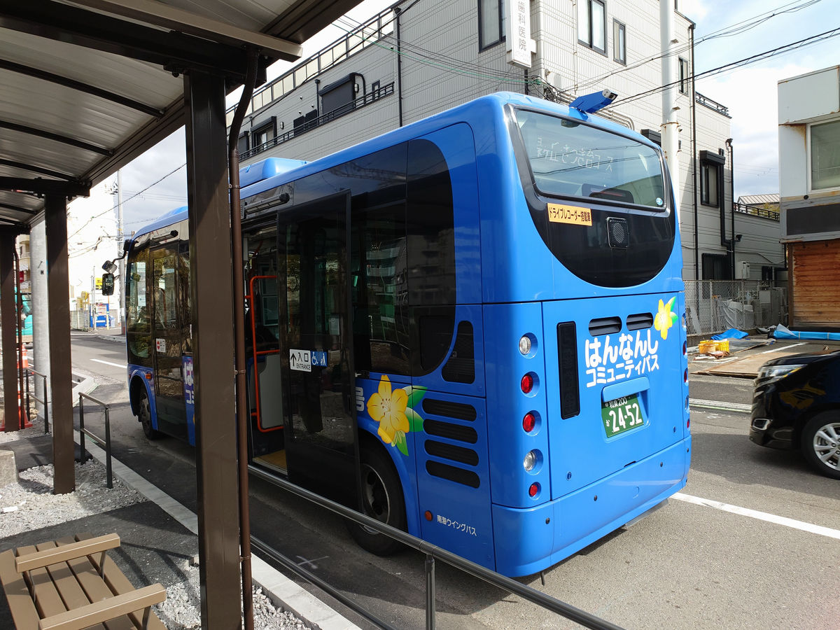
Our destination is the Minamiyamanaka bus stop, located at the westernmost point of Hannan City.
From Izumigaokaguchi to Hakotsukuri Park, the route runs on a slightly elevated area.
Head west on Prefectural Route 752 (Kishu Kaido), then turn north a little to arrive at the Minamiyamanaka bus stop. The fare is 100 yen, and IC cards can be used.
◆ Entering the southernmost municipality, Misaki Town
Head west on Prefectural Route 752 and walk into Misaki Town.
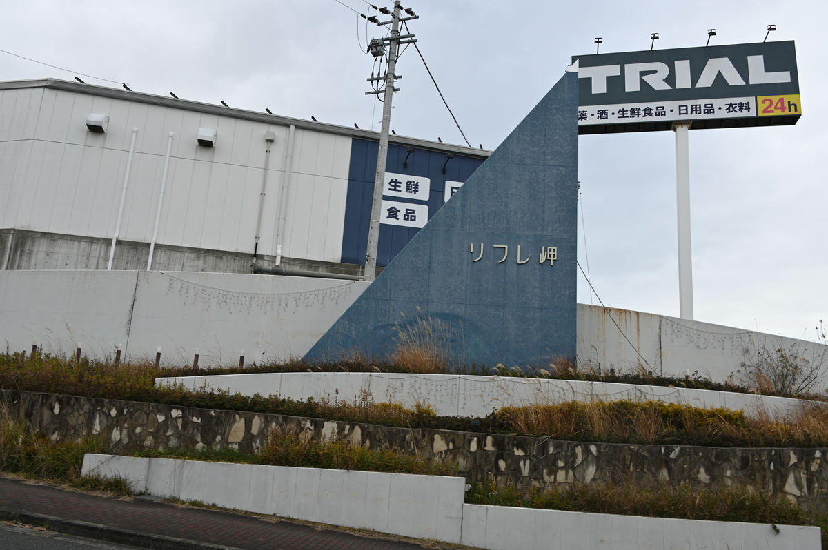
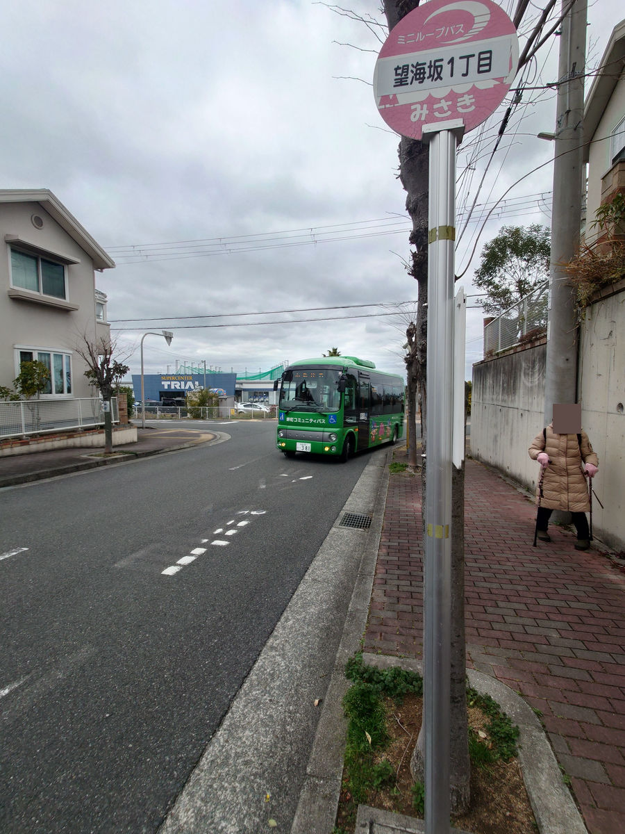
Turn left at the Nozomi-zaka intersection and head towards the residential area on the hill.
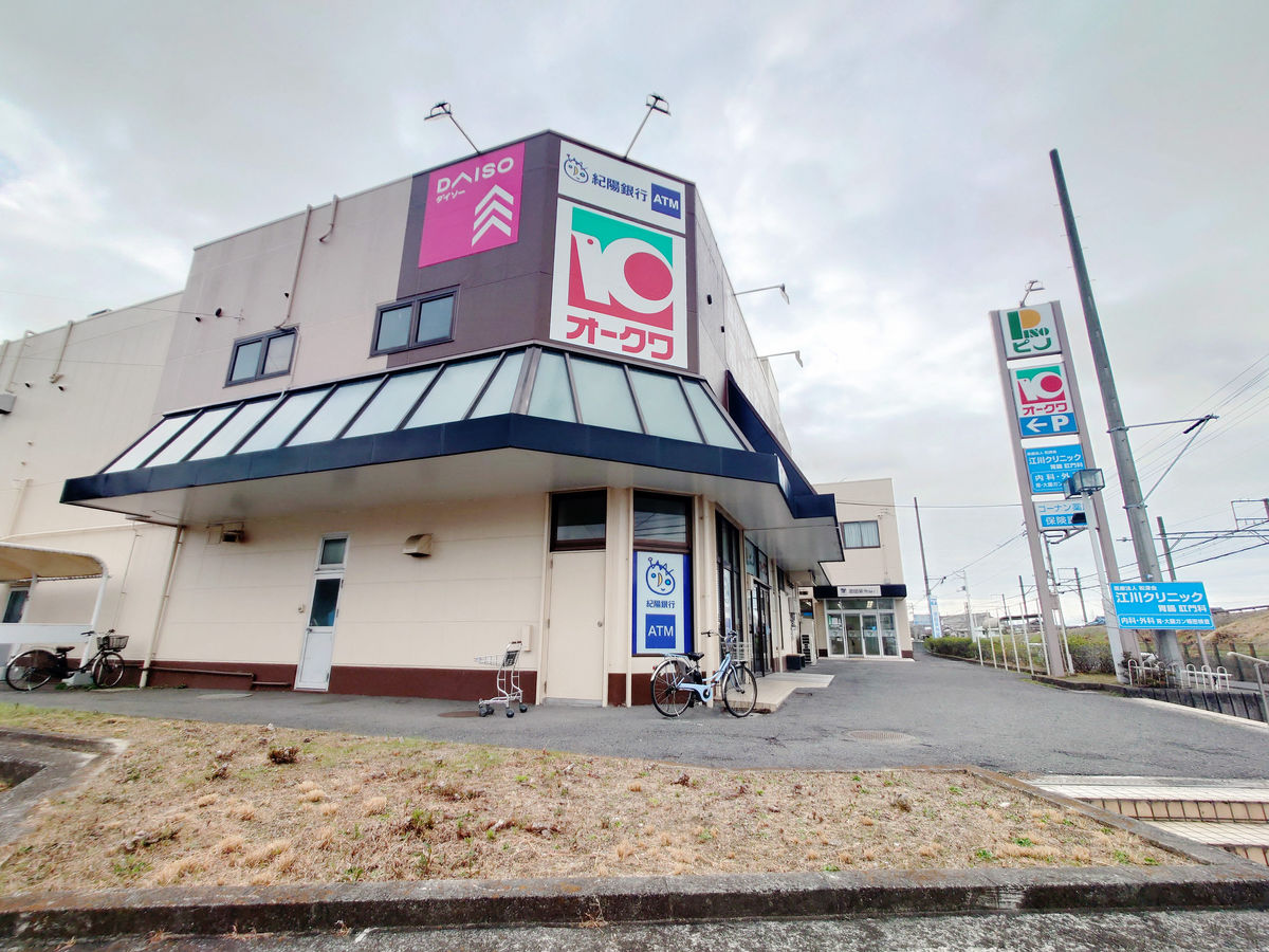
Immediately after turning left, you will see the Super Center Trial Hannan branch. 'Refre Misaki' is the name of a residential area.
There is a residential area of single-family homes on the hilltop.
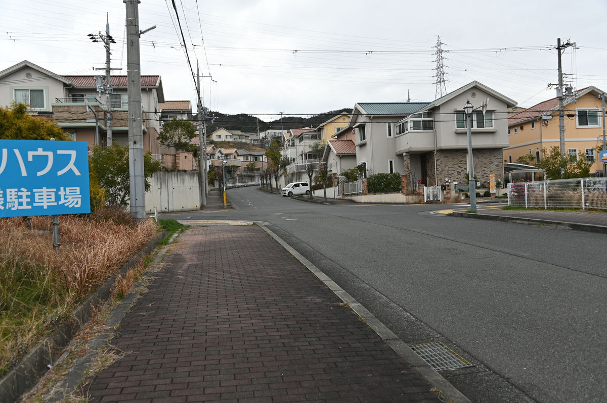
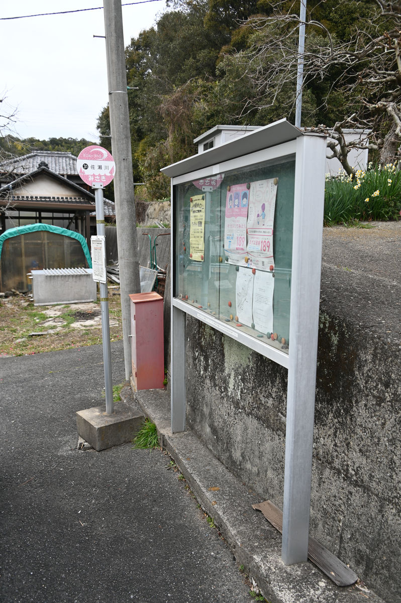
The bus stop for 'Bokaizaka 1-chome' is here. The walking route from 'Minamiyama Junior High School' is as follows, and it takes less than 10 minutes.
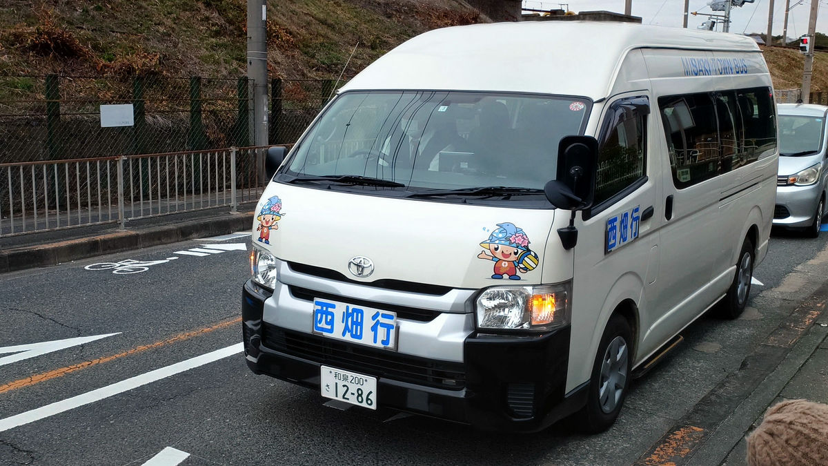
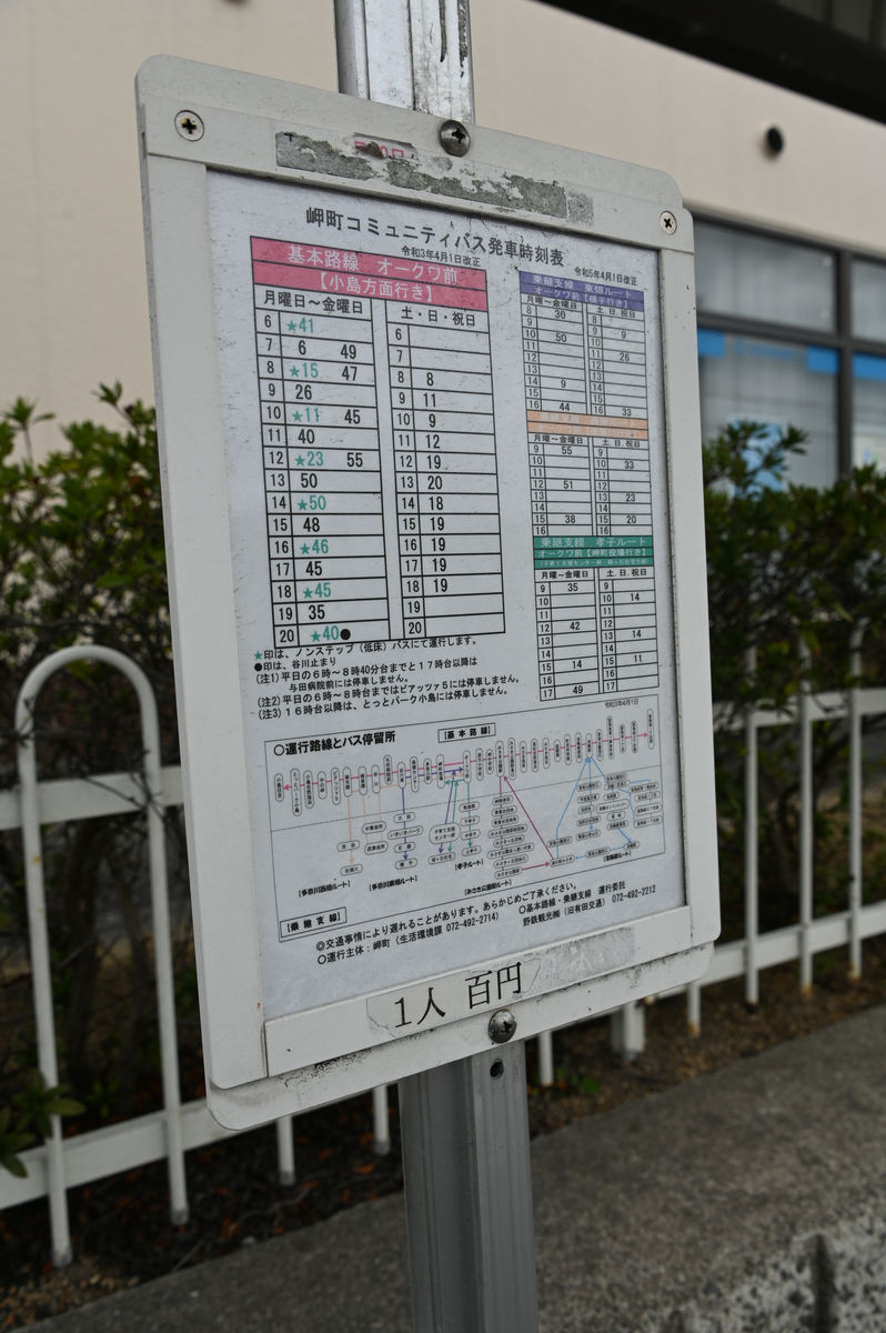
After waiting a little at the bus stop, the Misaki Town Community Bus, a basic route bus, arrived. The fare of 100 yen is paid when boarding. The Misaki Town Community Bus has a basic route and a transfer branch line, but IC cards cannot be used on either.
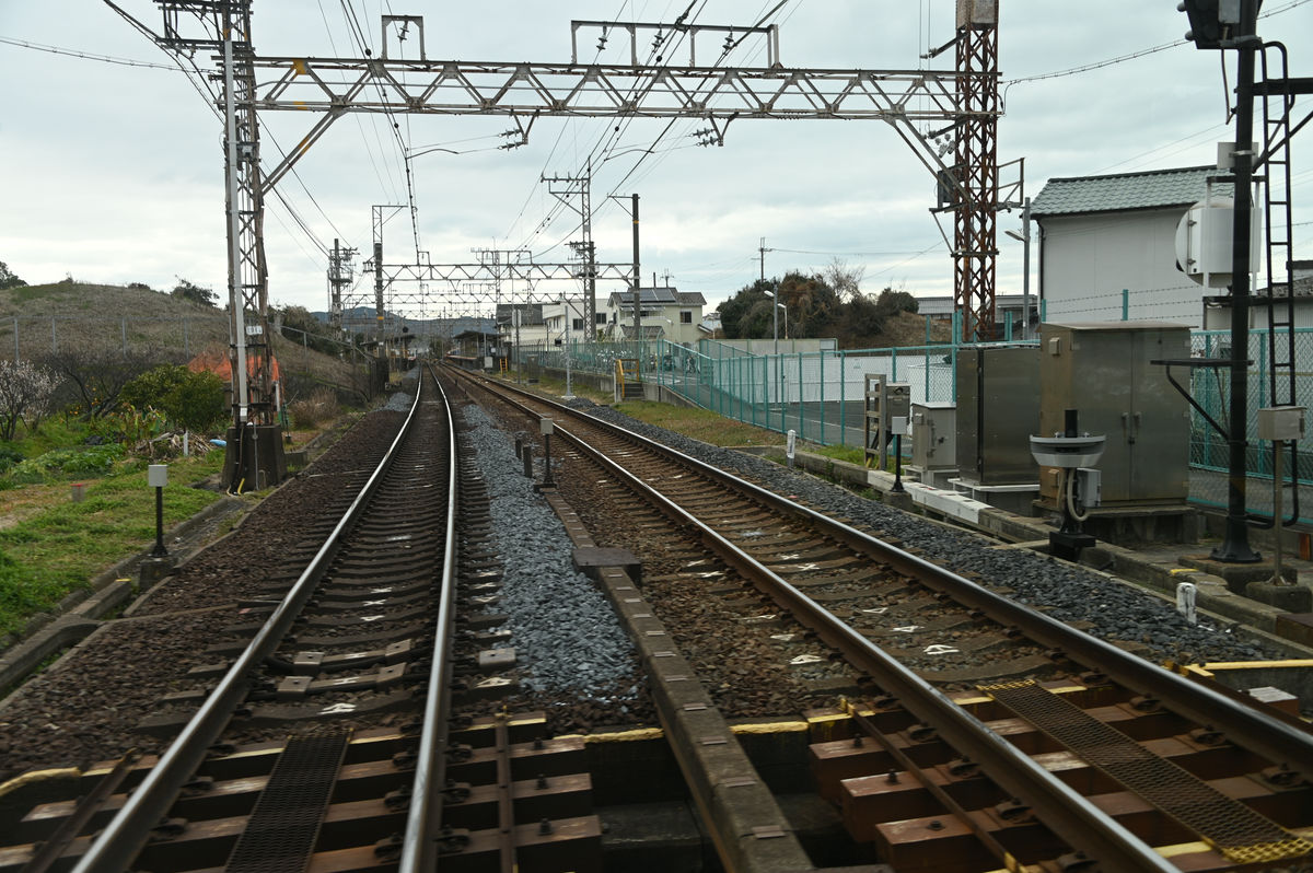
Once you cross the Nankai Main Line at a railroad crossing, you will see Tannowa Station to the west of the crossing.
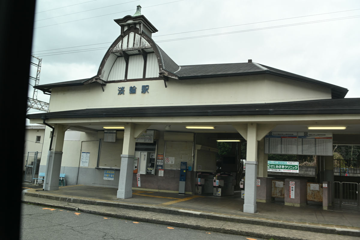
Tanoura Station has a slightly retro atmosphere.
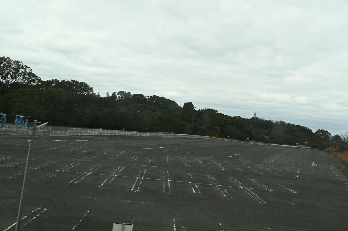
Next, we went to Misaki Park Station, which is also an express stop. At the end of March 2020, Nankai closed the zoo and aquarium, and it became Misaki Town Misaki Park. There is a large parking lot in front of the station, giving a sense of the bustle of the past.
The Misaki Park Station bus stop is right in front of the station.
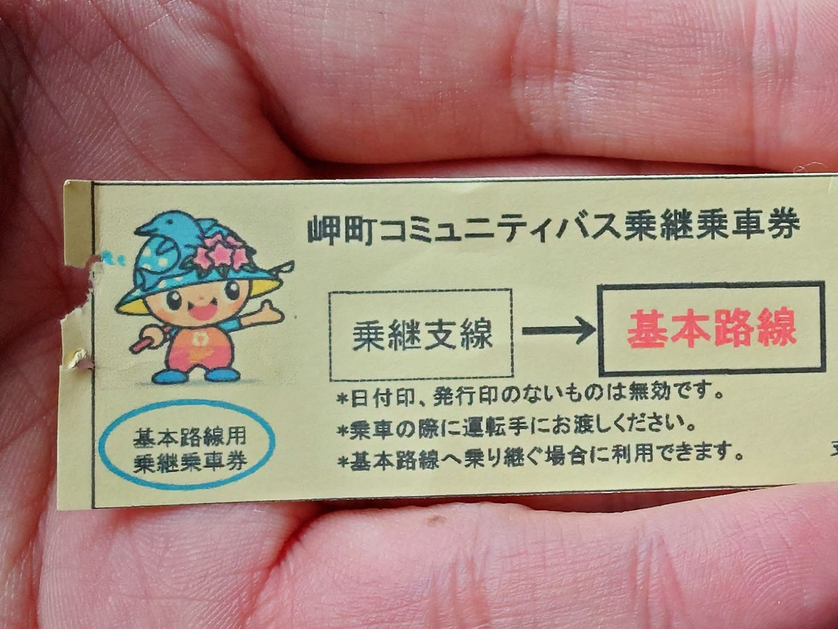
I got off at 'Oakwa-mae.' The time was 2:53 p.m. When I told them I was transferring to a branch line, they gave me a transfer ticket.
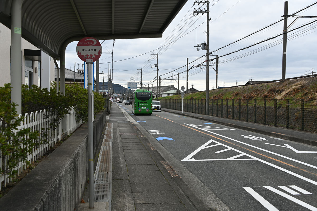
Most of the Misaki Town community bus routes stop at 'Oakwa-mae.'
◆To the very back of the branch line, the southernmost bus stop in Osaka Prefecture, 'Sasegawa'
The last bus, the Tanagawa Nishihata route, departs at 15:38, so there is a 40-minute wait. There are no benches at the bus stop, so I wait inside Oakwood.
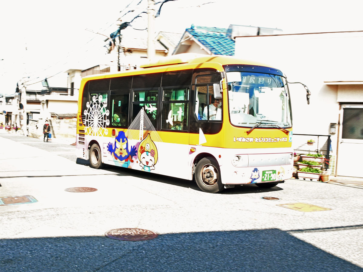
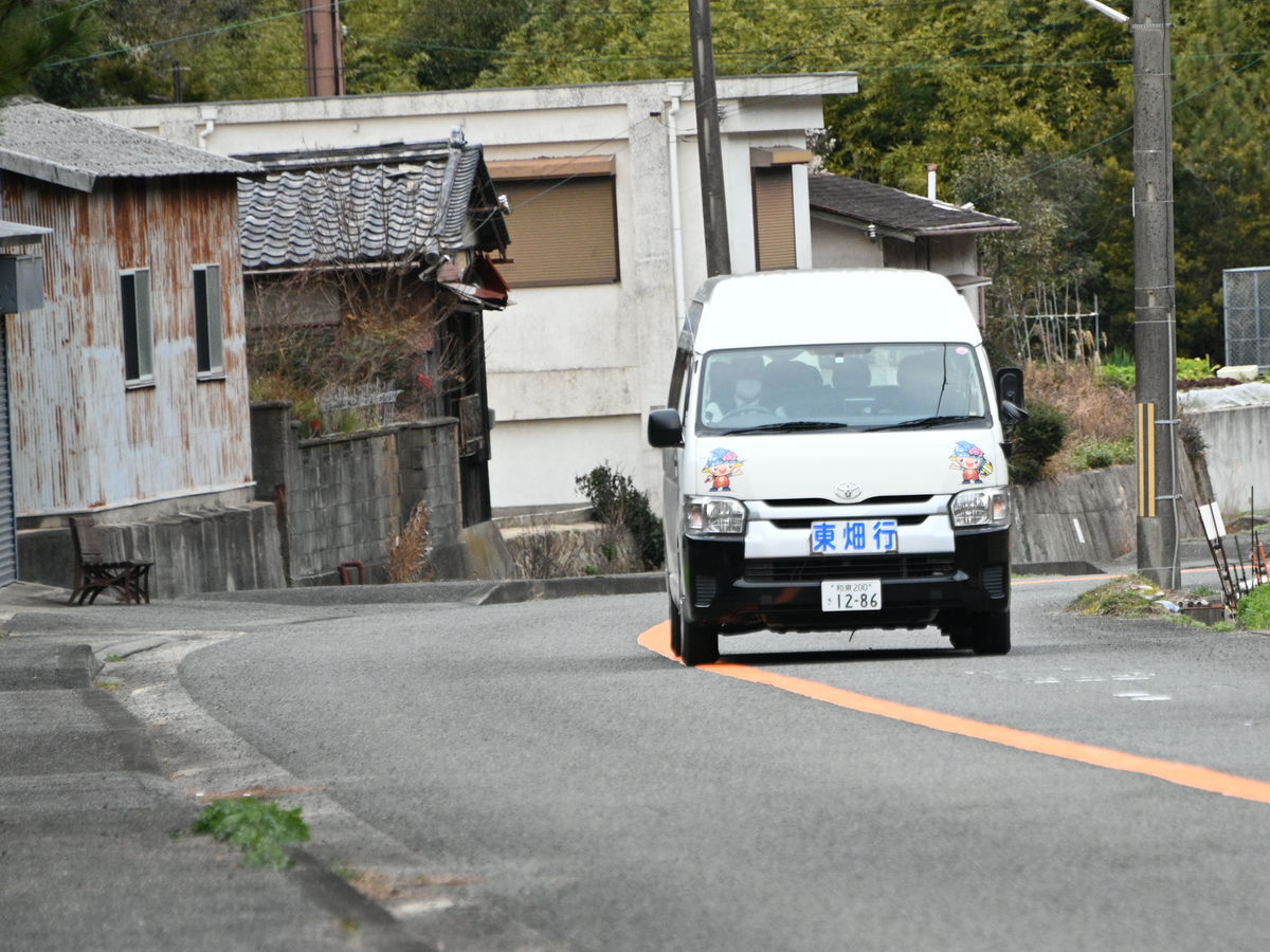
The Tanagawa Nishihata route was operated in a Hiace van. When boarding, tell the driver your destination.
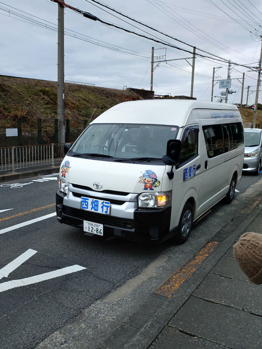
Although it is omitted on the route map, the line runs through Tanigawa Port near Toyokunizaki.
The route overlaps with the basic route when traveling along Prefectural Route 65, Misaki Kada Port Line, but from Kusunoki Bridge we enter the mountain path.
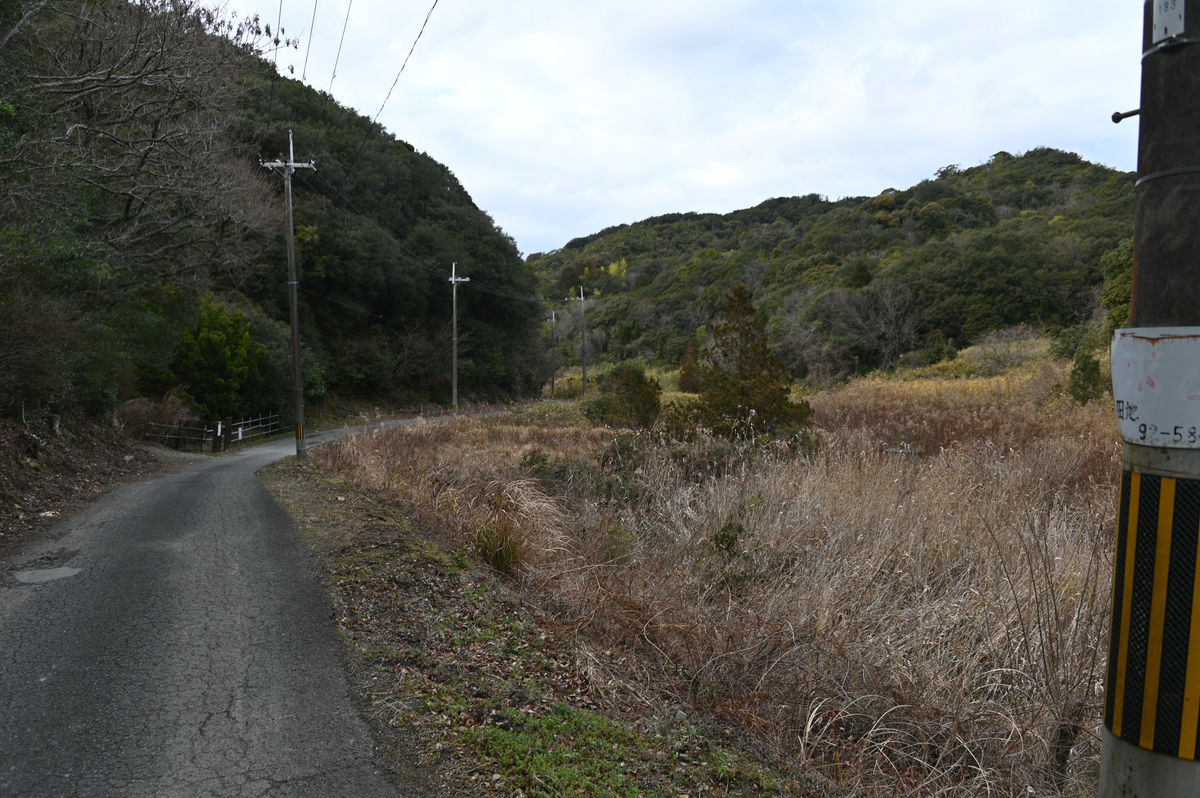
The ride on this mountain road is not that long, but it is quite hard to go by bus. The bus was shaking a lot, so it was difficult to take photos from inside the bus. In the end, I gave up taking photos and just continued to ride to the last stop, 'Sasegawa'.
At 4:10 p.m., we arrived at the final stop, Sasegawa, the southernmost bus stop in Osaka Prefecture. It was far away...
It can be seen here on Google Maps.
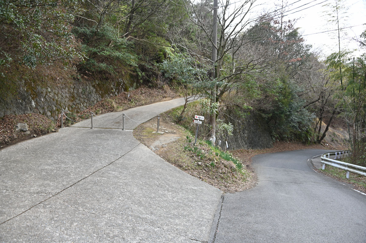
◆ After seeing off the last bus, we crossed the mountain pass on foot
I was surprised to see the bus go ahead, then turn around and come back within sight.
There was a slight leeway in the schedule, and I could easily get back by getting back on the same bus I had taken up to get there. However, looking at the Misaki Town Community Bus schedule, I found that the bus from 'Oakwa-mae' would arrive at the 'Yokote' bus stop, just across the mountain, in about an hour. After checking, I found that it was possible to walk there in less than an hour, so since I was on a bus trip, I decided to stay on the bus all the way to the end, crossing one mountain pass and getting off on a different line.
We head towards Yokote, with the last bus for the Tanagawa Nishihata route waiting to depart at Sasegawa.
As you go up from the bus stop, you will soon come to the end of the village and the width of the road will decrease.
When I looked back, the last bus had already left. I couldn't go back now.
Looking back from the southern end of Sasegawa village.
We walk along a one-lane road where it is impossible for cars to pass each other.
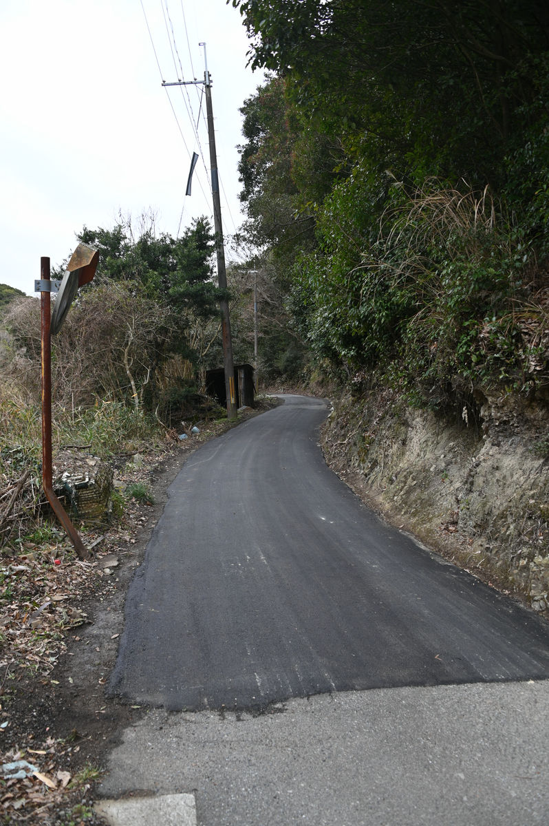
'So this is the road...' I thought to myself as I continued walking, when I suddenly felt the road ahead opening up a little.
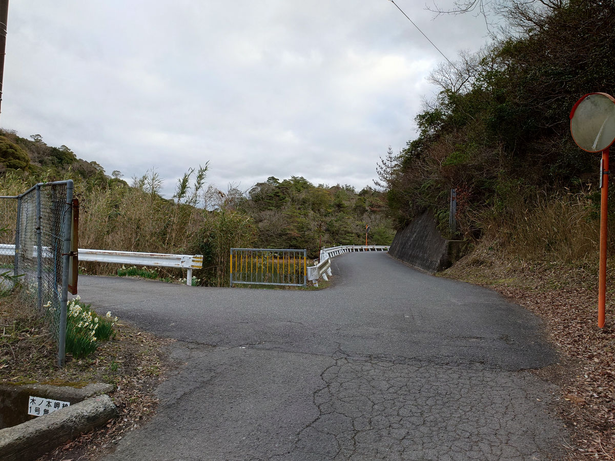
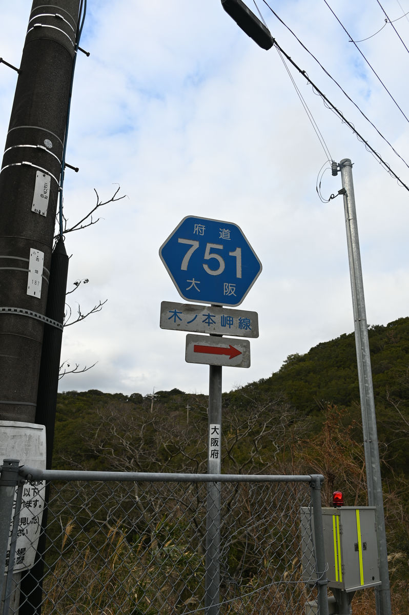
Just 5 minutes from the 'Sasegawa' bus stop, you will reach a fork in the road. The road coming from the front is Osaka Prefectural Route 751, Kinomoto Misaki Line, which comes up from Wakayama Prefecture and heads left towards Yokote.
Looking back, the village of Sasegawa is no longer visible.
Turn left at the previous fork and head towards Yokote on Prefectural Route 751.
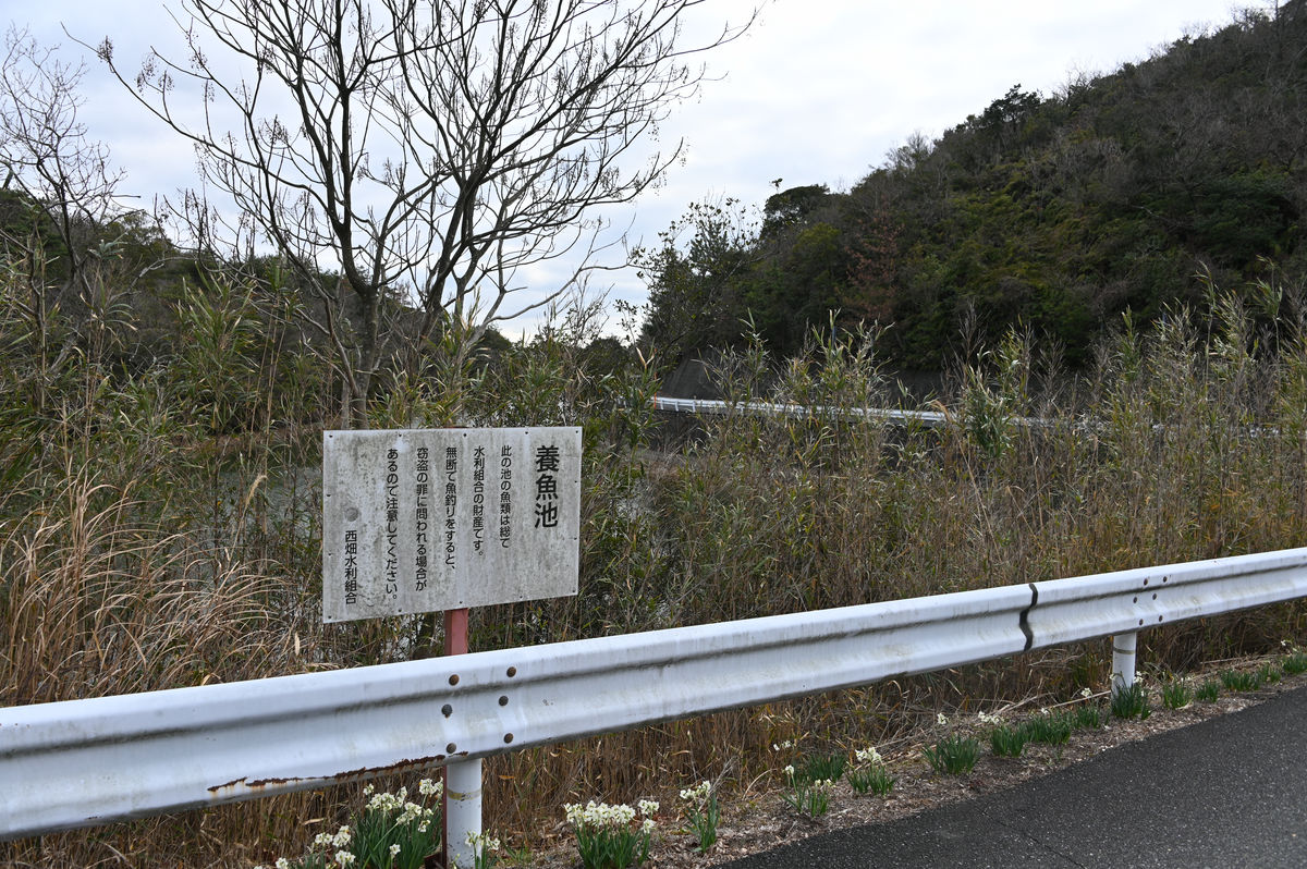
By the way, the reason why the road looks open when you walk from the direction of Sasegawa is because there is a fish pond near the fork in the road.
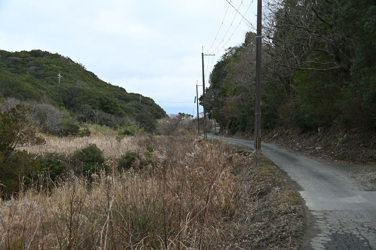
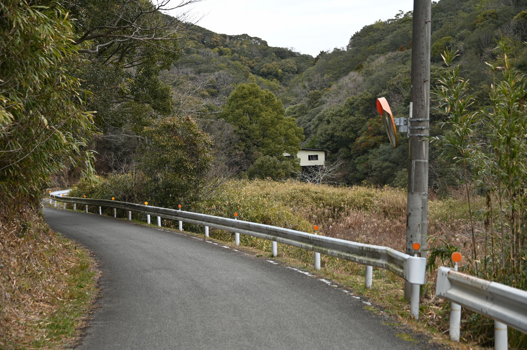
Prefectural Route 751 increases in elevation as it heads north.
Along the way we came across the Mt. Kobutsu trailhead.
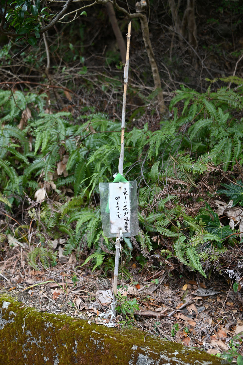
This is the atmosphere when you walk. It's very quiet because there are no houses.
The message is 'Beautiful flowers will bloom, don't cut them.'
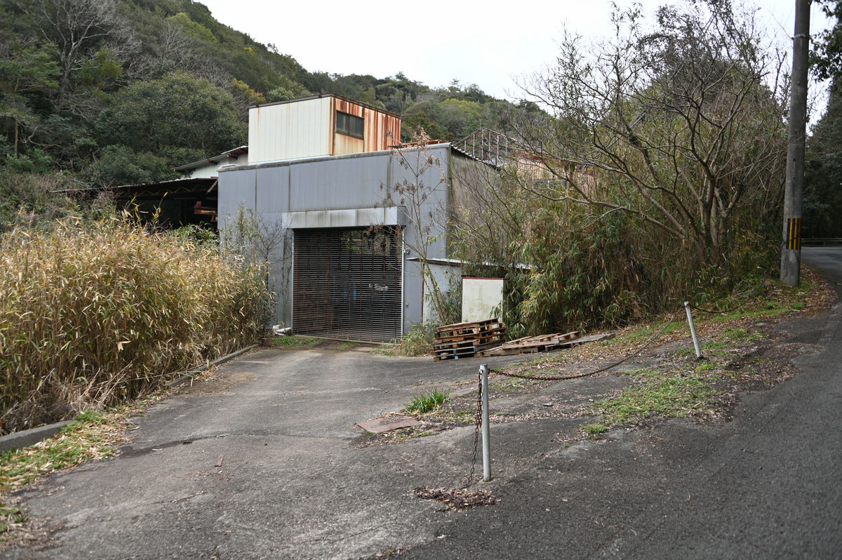
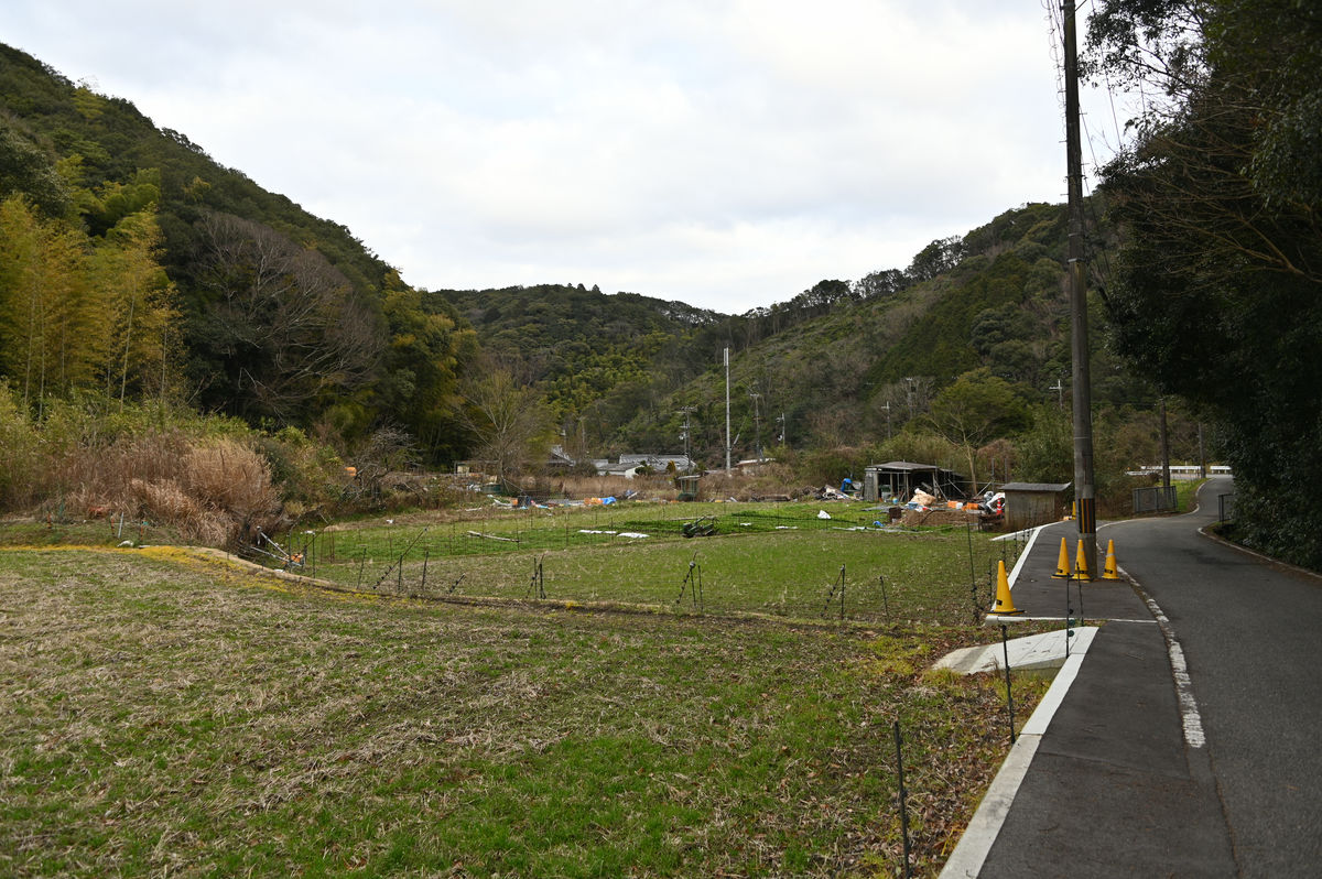
A little over 20 minutes after leaving the Sasegawa bus stop, the building came into view again.
When I walked around, it looked like some kind of workshop.
There are also fields, and it seems like locals are constantly visiting this area.
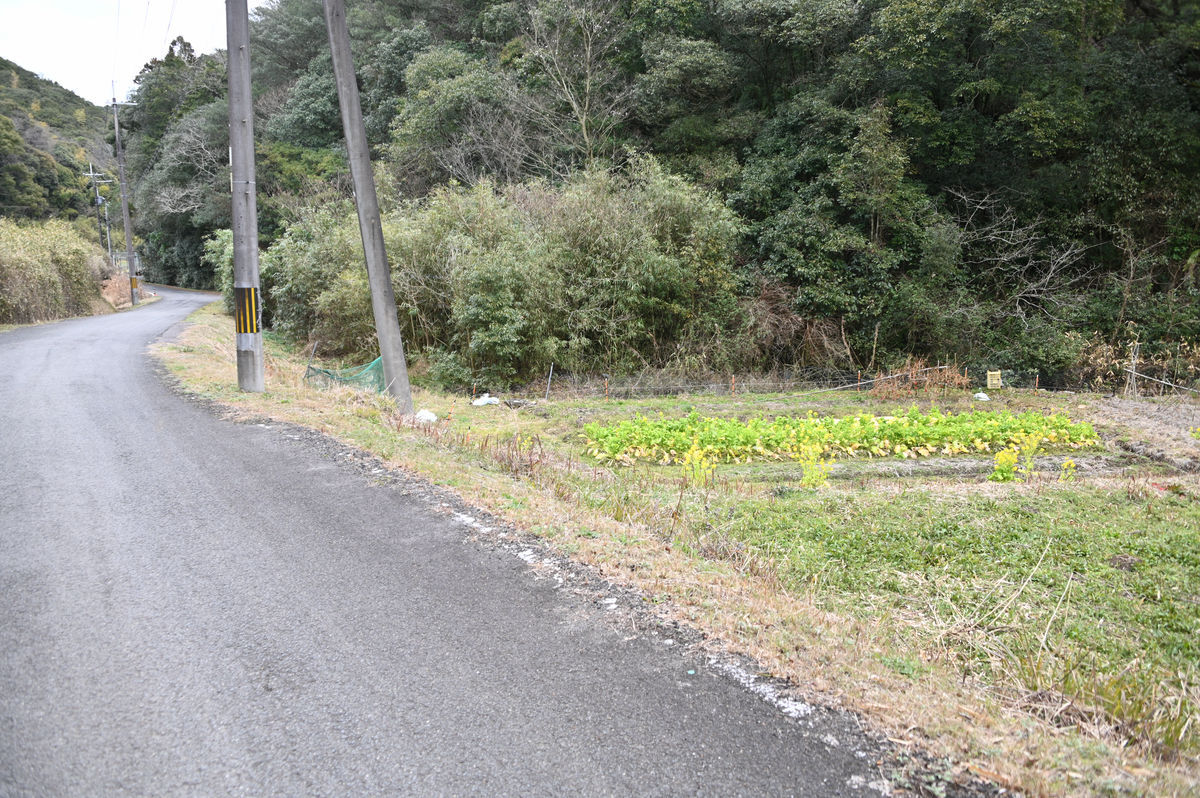
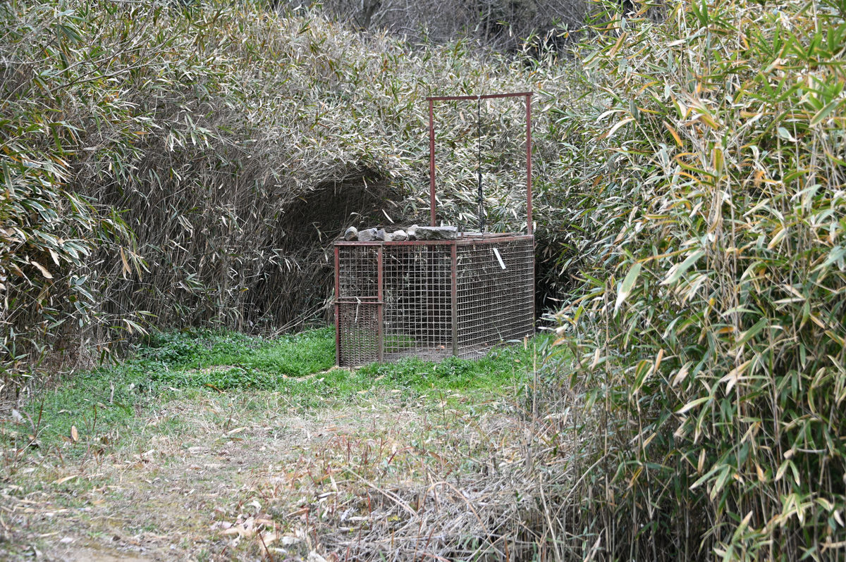
There was a cage set up facing the bushes, which looked like it was used to capture wild boars.
It seems we have reached the southern end of Yokote village. It is just under 30 minutes from the 'Sasegawa' bus stop.
There was a bus stop called 'Yokote' next to the former assembly hall. All I had to do was wait for the bus to come.
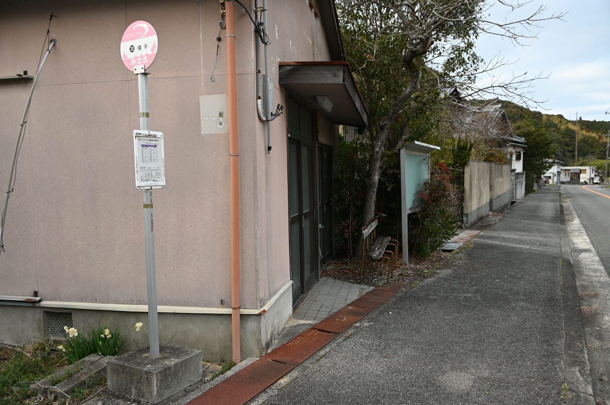
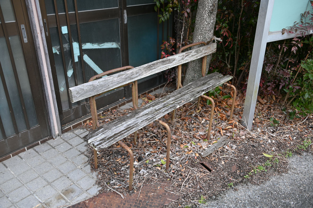
A bench near a bus stop. It was rotting, but if you were careful you could still sit on it.
While we were waiting for the bus, it became 5pm and the town broadcast came on.
Soon, the bus for the Tanagawa Higashihata route arrived.
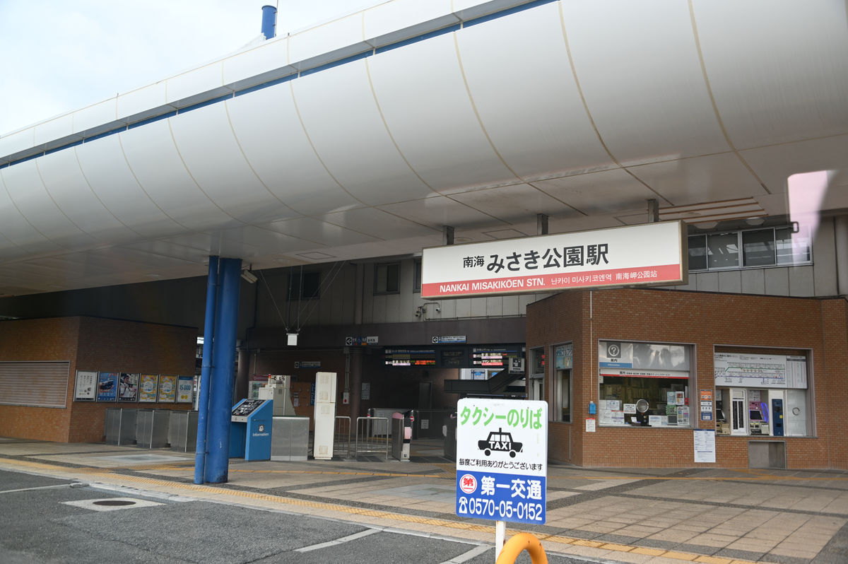
I then changed to the main line and arrived at Nankai Misaki Koen Station just after 5:50 p.m.
The total fare for travel on the second day was 1,440 yen. The fact that the fare for the Izumisano Community Bus and the Izumisano-Tajiri Community Bus was 0 yen was a big plus.
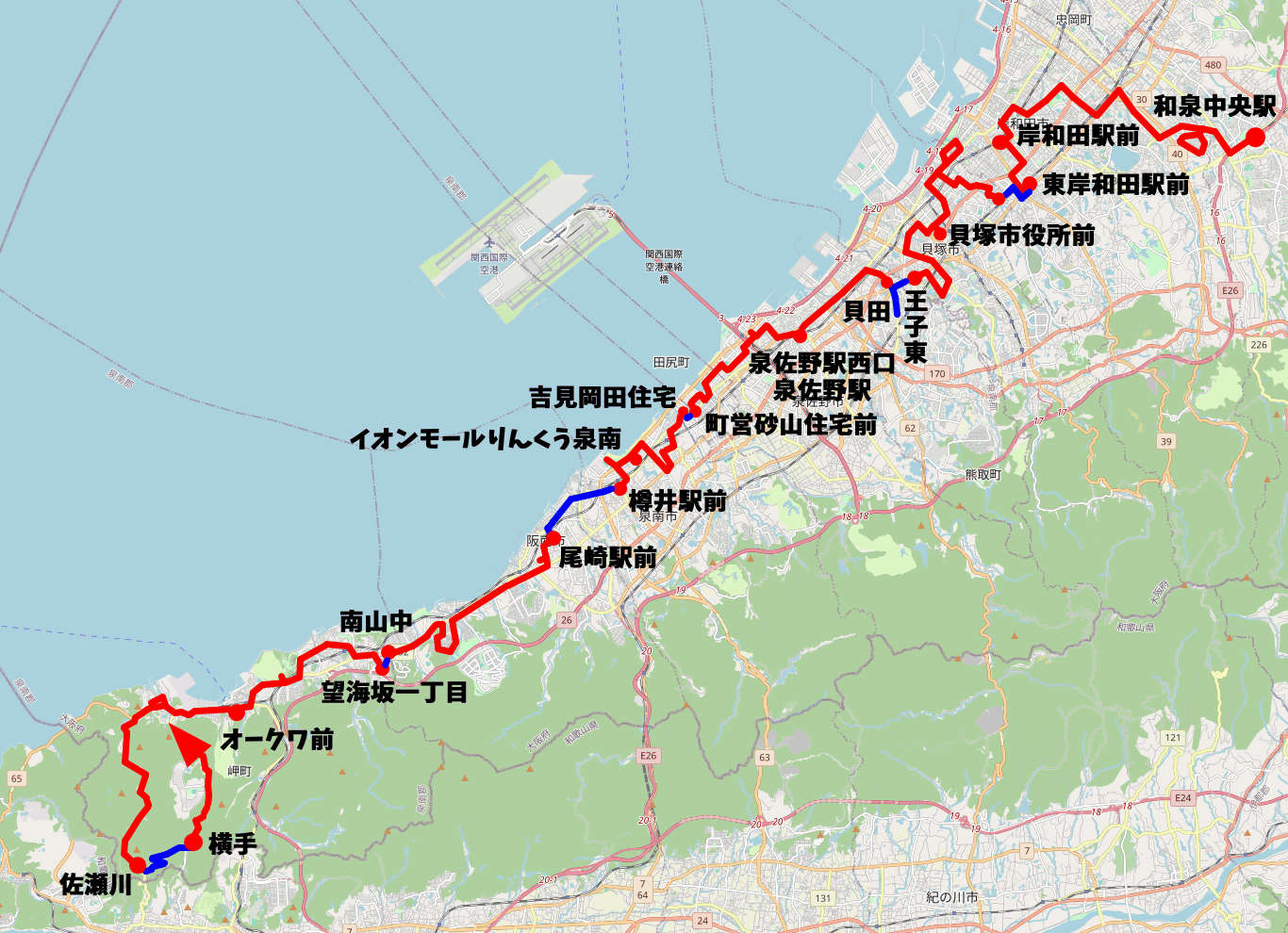
Below is a diagram showing the route we took on the second day. The red line is the bus route, the blue line is the walking route, and the final route is the Tanagawa Higashihata route down towards Oakwa.
·postscript
On April 1, 2024, the Misaki Town Community Bus route and timetable were revised. When the route was set in February 2024 , the Takako Line, Tanagawa Higashihata Line, and Tanagawa Nishihata Line were operating separately , but the old Takako Line was connected to the Higashihata Line, and the route from Yokote, the end of the Higashihata Line, to Sasegawa was changed to the road that was walked on in the above report. As a result, the route described in the article has disappeared. At the same time, it became possible to travel between the three southernmost bus stops of the Misaki Town Community Bus, Sasegawa, Yokote, and Kami Takako, in one trip.
Related Posts: