'Shikoku Green Travel' - A trip using all JR Shikoku lines, making full use of express trains - Day 3
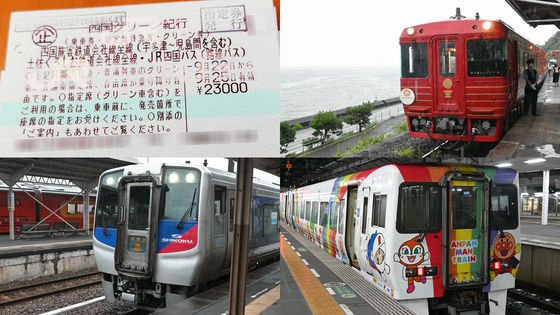
The ' Shikoku Green Travel ' allows me to use all JR Shikoku lines and Tosa Kuroshio Railway Limited Express trains (Green Car) and local trains for four days, and is the third day of my trip to simply ride the trains, trying to ride all of JR Shikoku's lines in one go. I will be restarting from Takamatsu, where I started on the first day.
Shikoku Green Travelogue | Shikoku Travel JR Shikoku Tour (Ekikomi)
The events of the first and second days are summarized in the articles below.
I tried a trip to ride all the JR Shikoku lines by making full use of express trains on the 'Shikoku Green Journey' - Day 1 - GIGAZINE
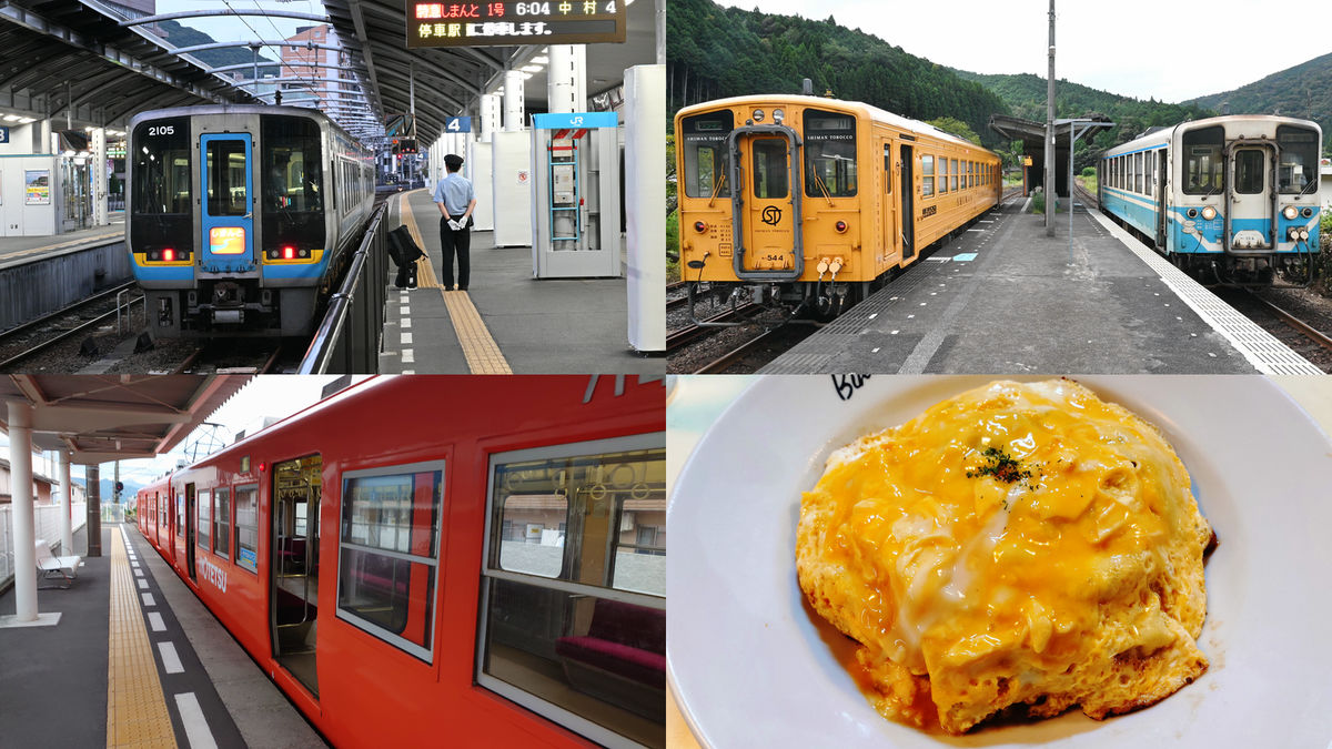
◆Limited Express Shimanto No. 1: Takamatsu → Kubokawa
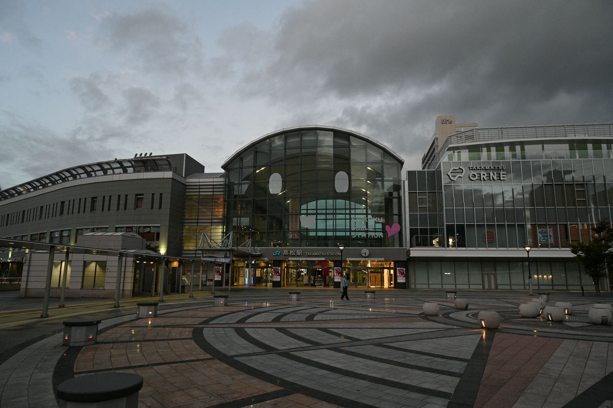
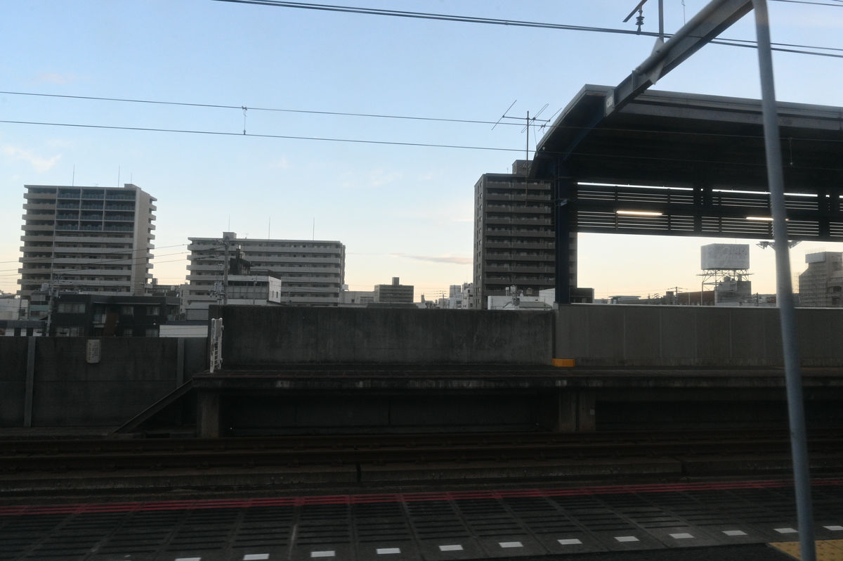
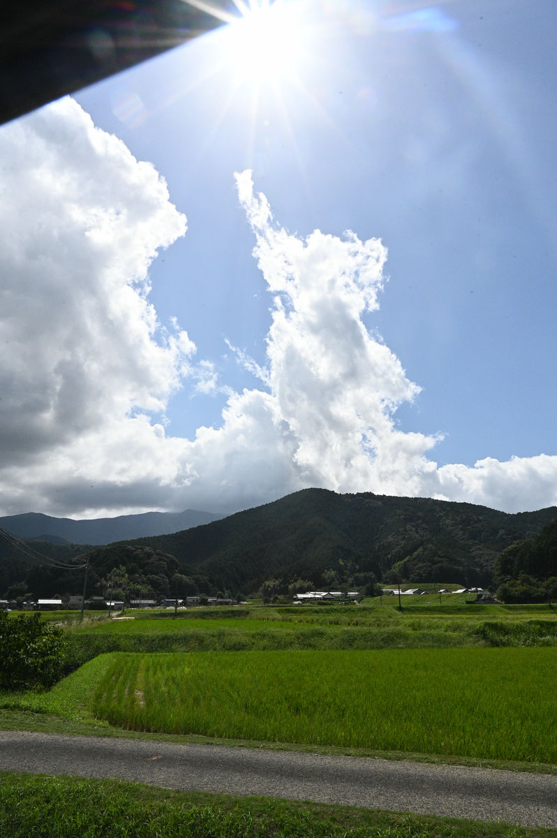
Takamatsu Station in the morning on the third day.
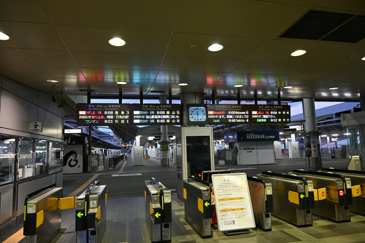
The start is about an hour later than the first day. In the 6 o'clock hour, the Tokushima-bound Limited Express Uzushio, the Okayama-bound Rapid Marine Liner, the Matsuyama-bound Limited Express Ishizuchi, and the Nakamura-bound Limited Express Shimanto depart one after another within an 8-minute interval.
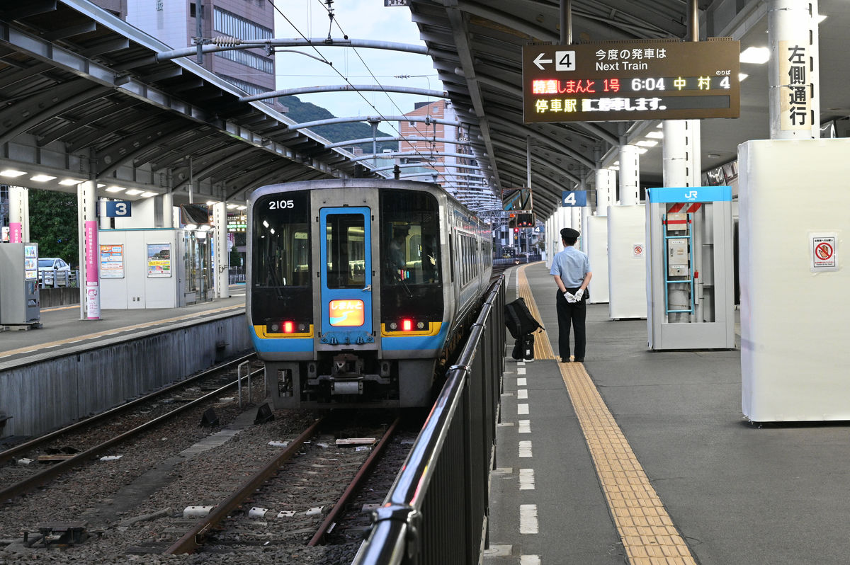
The train I'm taking is the Shimanto 1 Express bound for Nakamura.
All four trains scheduled to depart are ready.
The Shimanto departs at 6:04. Two days ago, when I left Sakaide Station at around 5:00, the sun had barely risen, but by 6:00, it was already light.
The Great Seto Bridge could be clearly seen from the train window.
From Tadotsu, we enter the Dosan Line and travel across Shikoku. The scenery is typical of Kagawa Prefecture, with reservoirs.
We quickly passed Tsubojiri Station, known as a remote station on the Tosan Line.
Once you pass through the mountainous area on the border between Kagawa and Tokushima prefectures, the townscape of the Yoshino River basin comes into view.
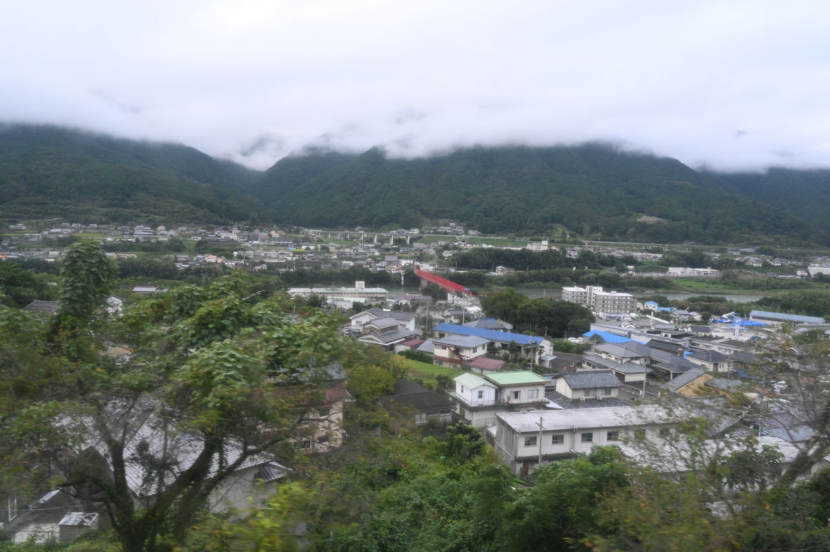
The Dosan Line crosses the Yoshino River on a large iron bridge.
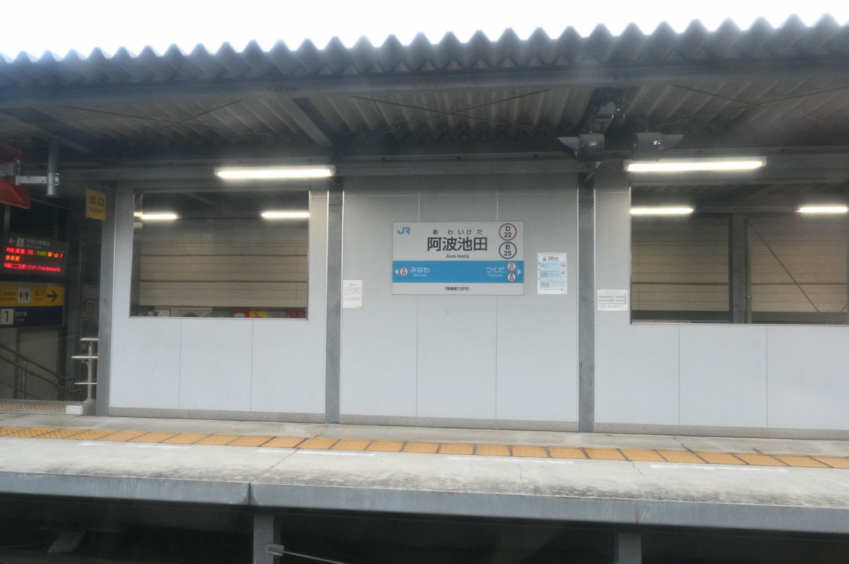
We have arrived at Awa-Ikeda Station.
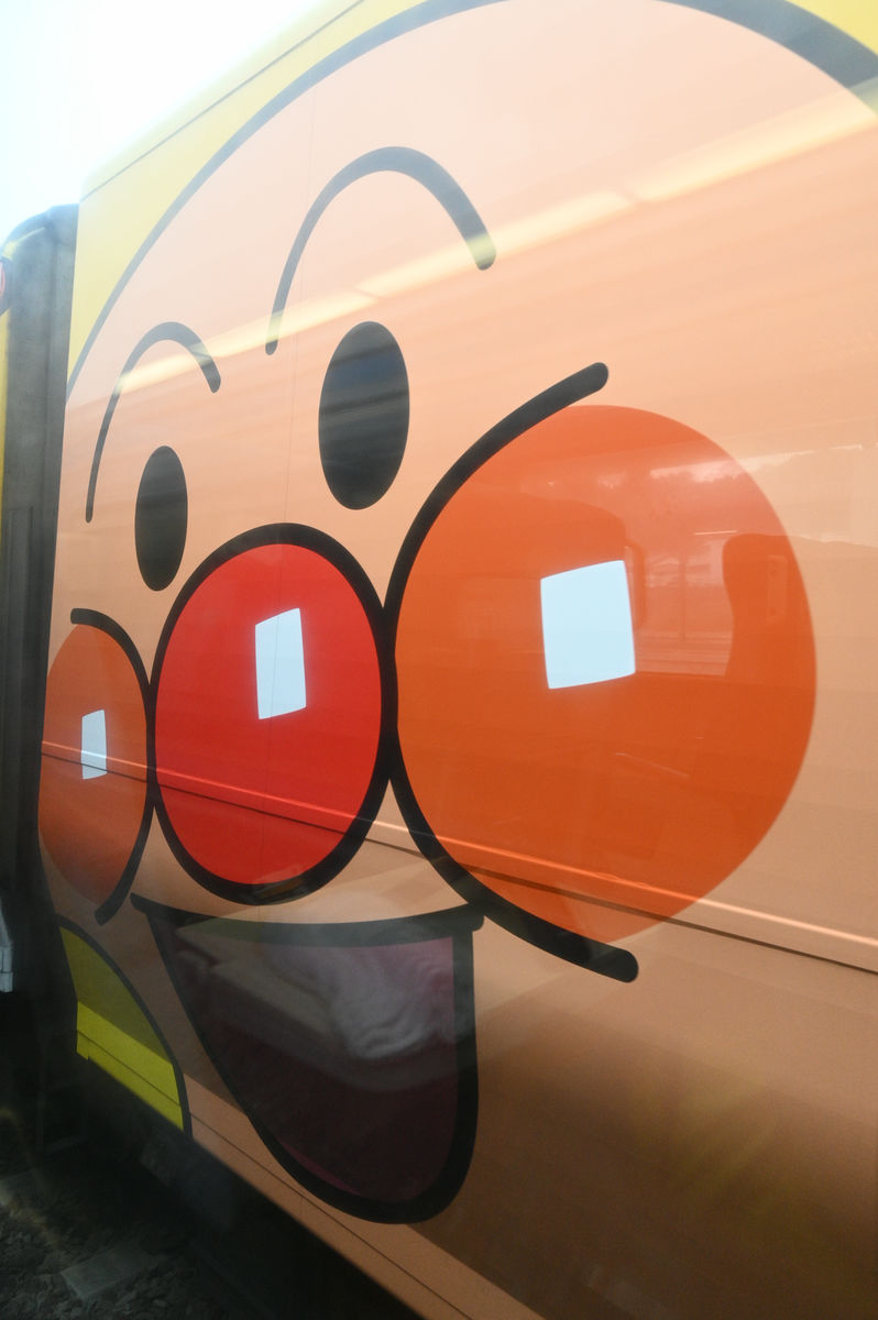
The express train that I passed was the Anpanman train. When I was riding the Anpanman train on the first day, I noticed that many people were pointing their smartphones at me from the opposite carriage when the train stopped to pass another train, but now that it was stopped right in front of me, I understood why. I never thought it would look like this...
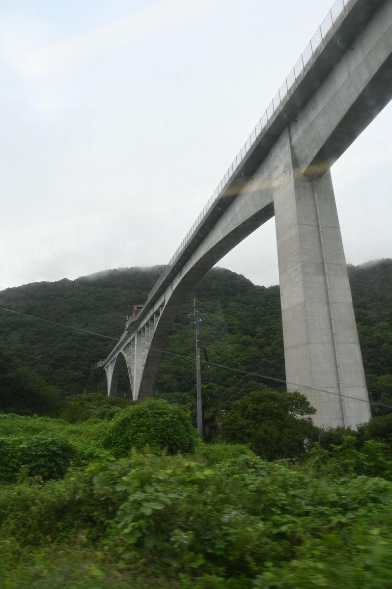
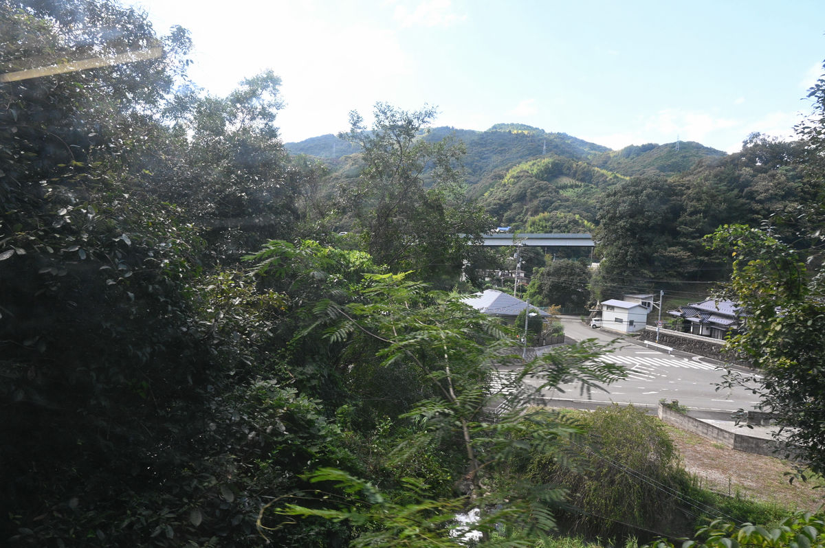
Leaving Awa-Ikeda, the Dosan Line runs through a valley along the Yoshino River. The Tokushima Expressway runs high above the ground, on a high bridge, into a tunnel.
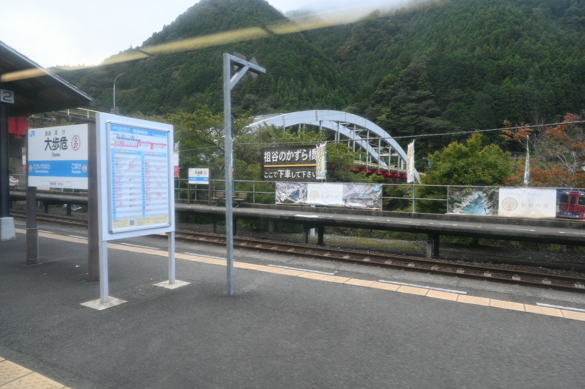
On the right hand side of the road is the scenic spot 'Obokechoboke.'
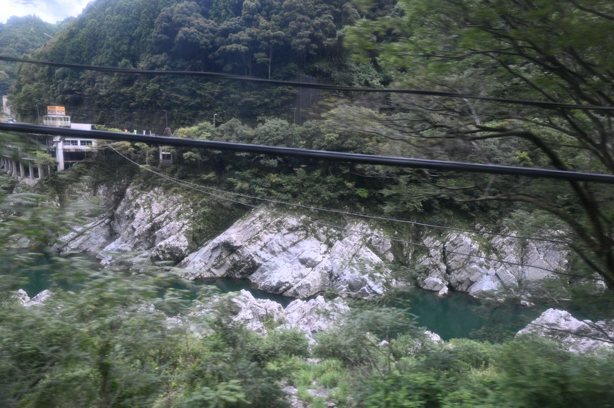
I could see the Oboke Roadside Station, which was built jutting out over the Oboke Gorge.
They have good visibility to each other so you can even watch the trains whilst eating at the roadside station.
From Oboke Station, there is a bus heading towards '
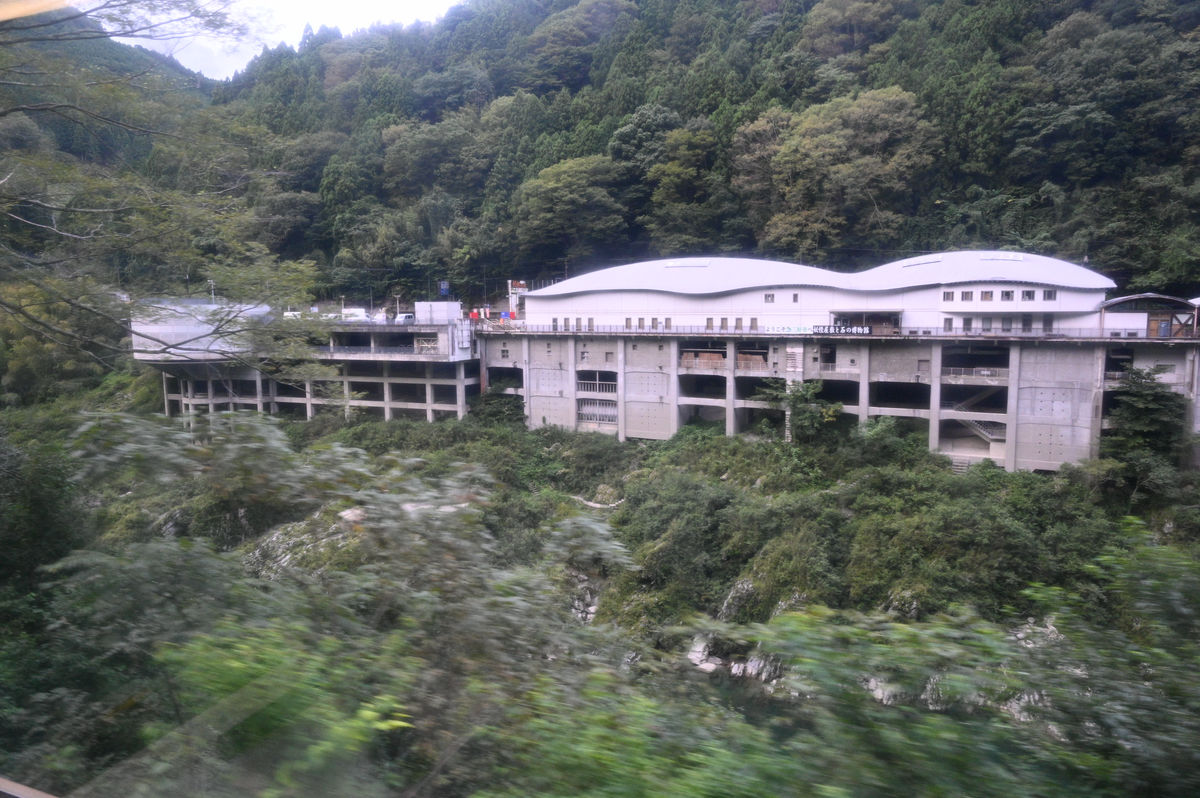
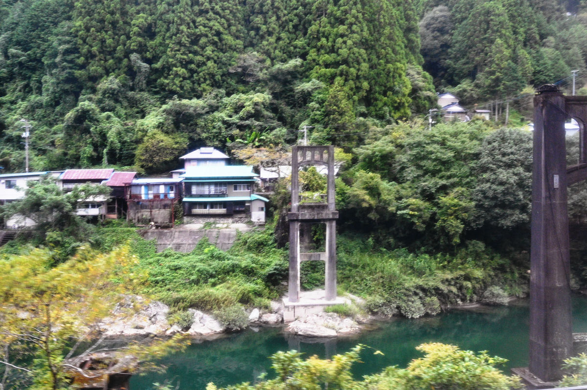
An abandoned bridge seen from the car window.
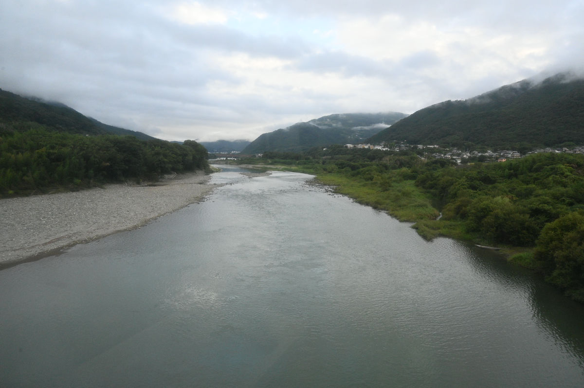
We crossed the mountains into Kochi Prefecture, passed through the city of Kochi, and continued west. From Kochi Station to Ino Station, the line intermittently runs parallel to the Tosa Electric Railway. This is the area where we traveled in the opposite direction yesterday.
Niyodo River.
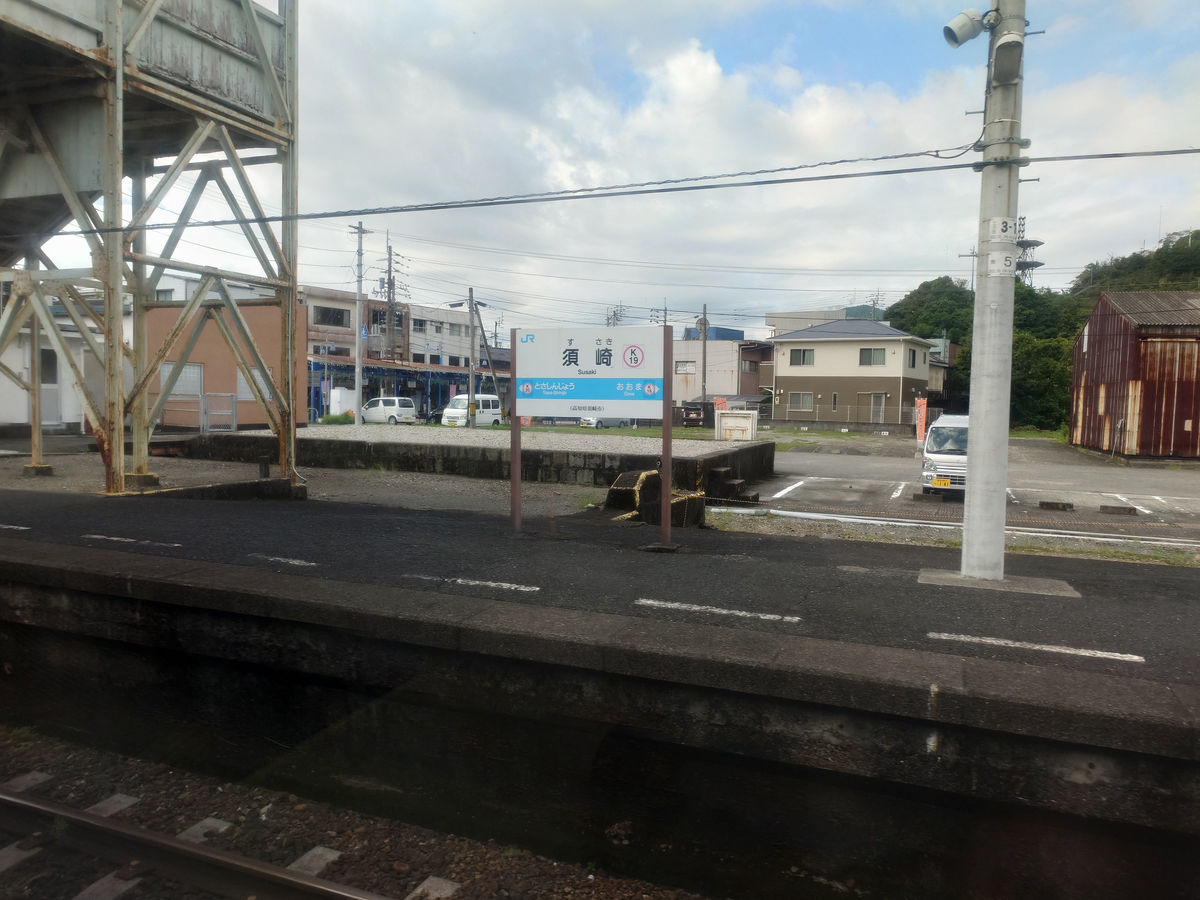
It's been a day since my last visit to Susaki Station, but today I didn't get off and just passed through.
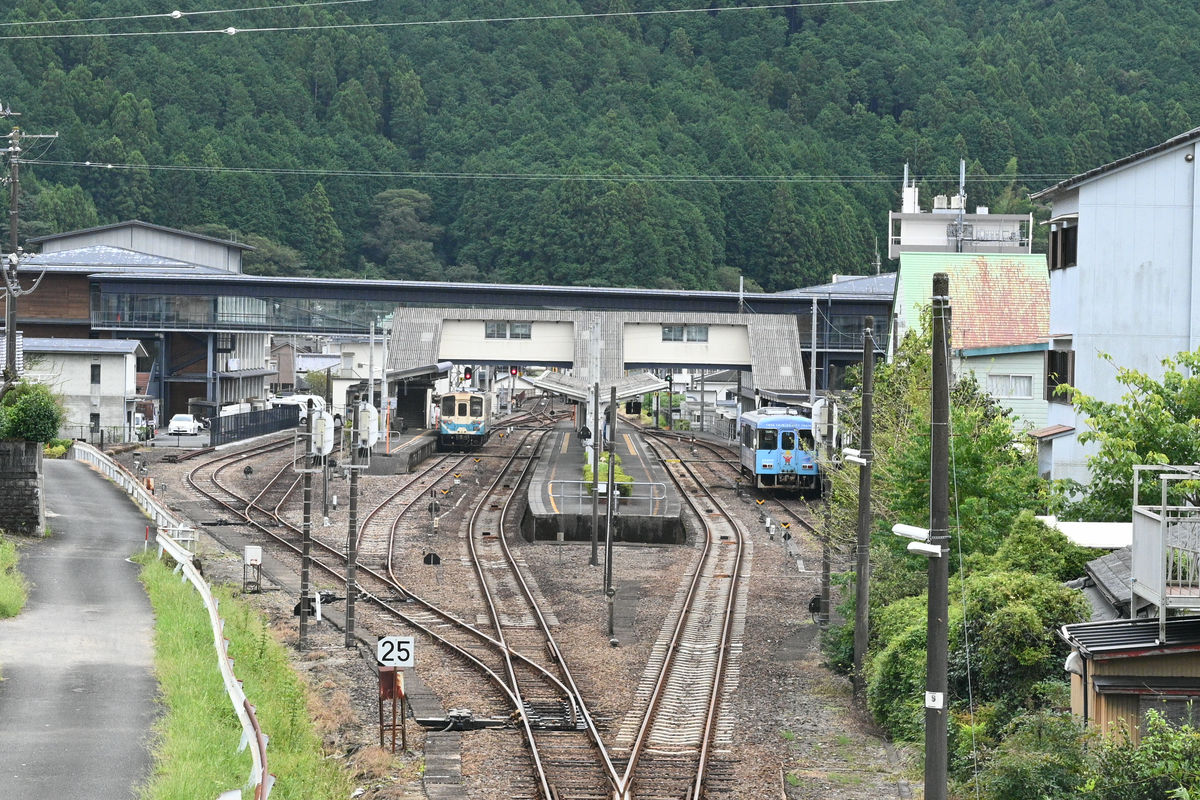
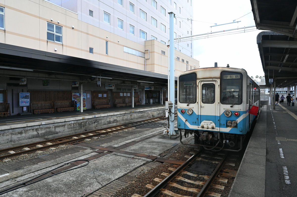
I didn't go all the way to Nakamura, and got off Shimanto No. 1 at Kubokawa Station at 9:26.
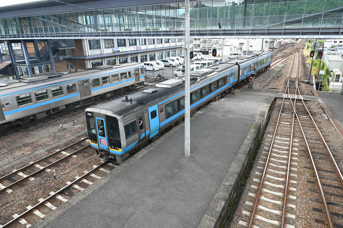
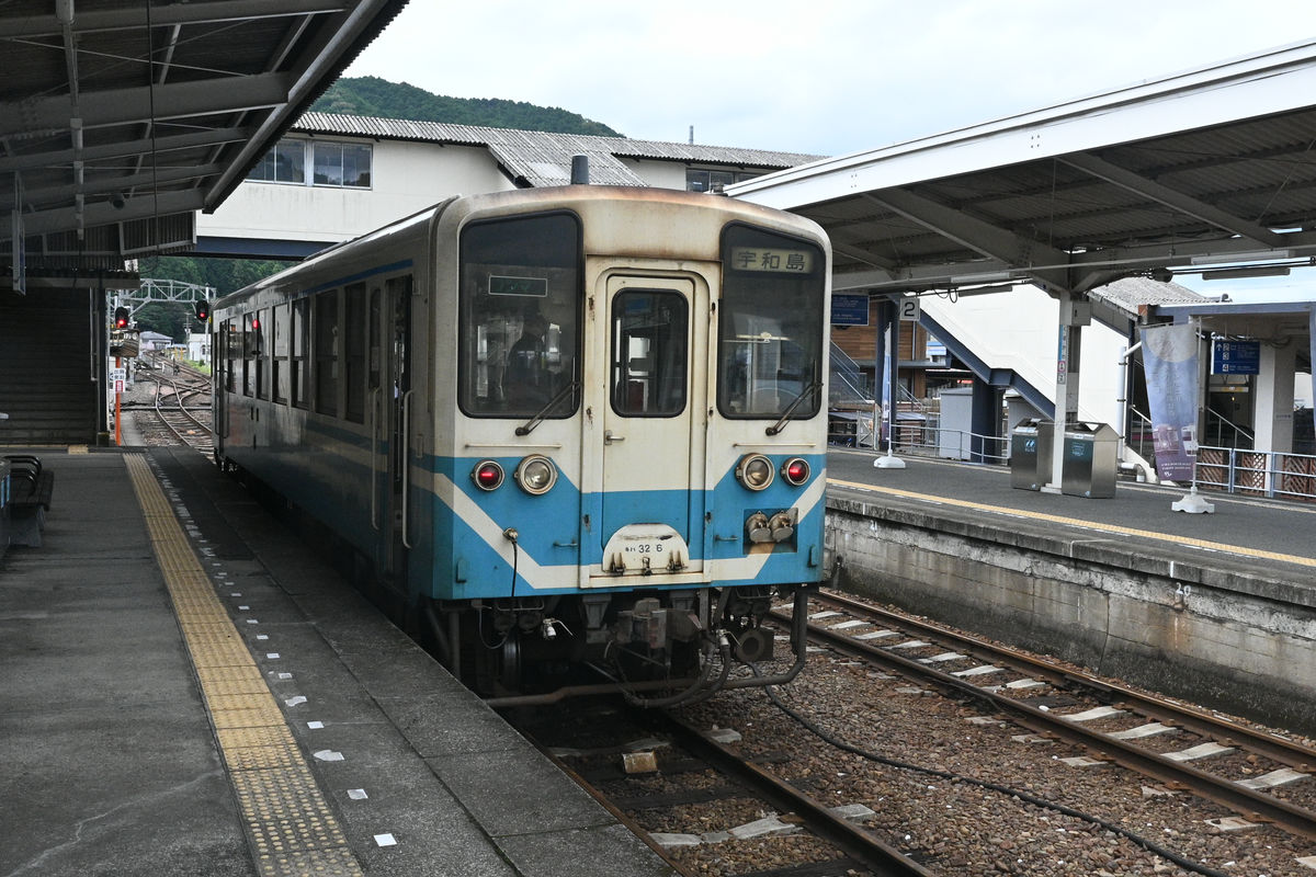
◆Yodo Line Local: Kubokawa → Uwajima
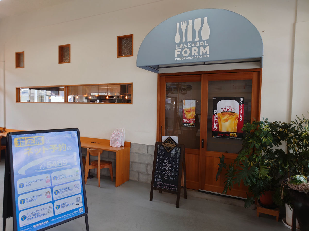
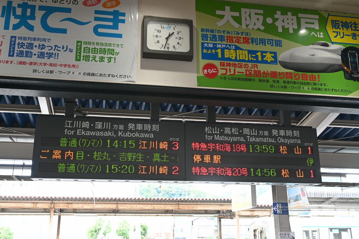
The next train was at 10:43, which was more than an hour away. I was hungry and wanted to get something to eat, but unfortunately, the Shimanto Ekimeshi FORM next to the station waiting room didn't open until 11:00, so I went outside.
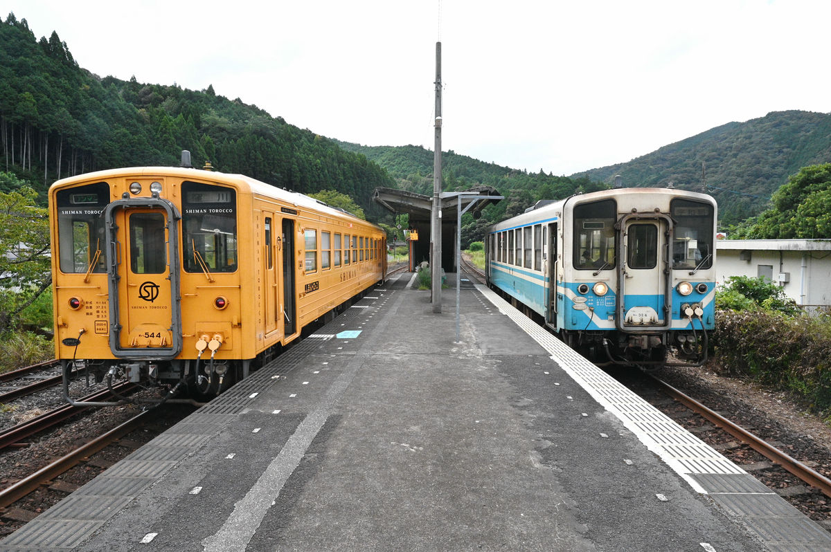
JR Kubokawa Station. The large building in the back left is Tosa Kuroshio Railway Kubokawa Station. If you are transferring, you can do so inside the station without having to go outside.
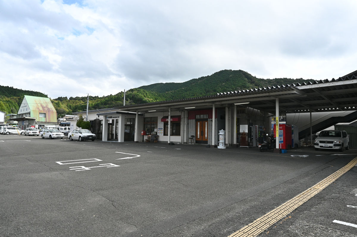
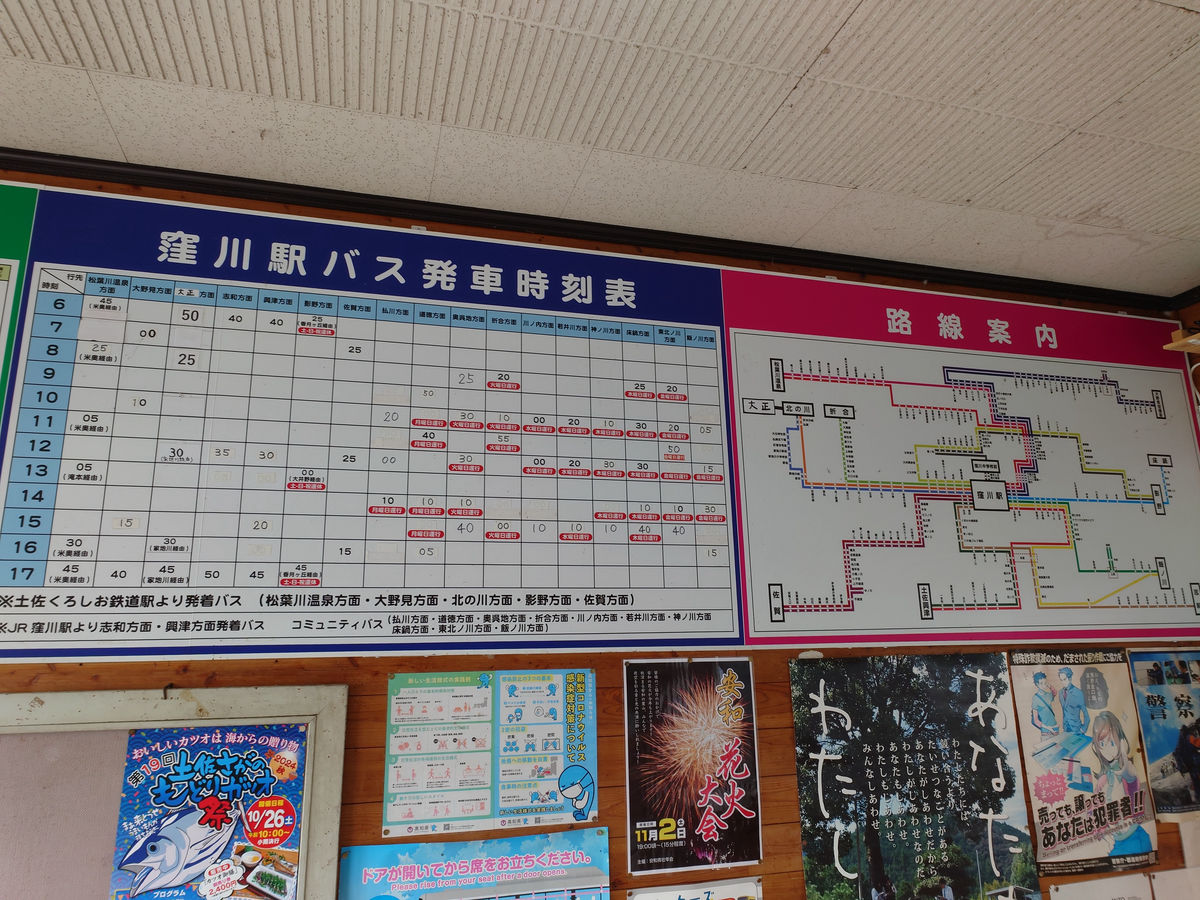
Various buses were parked in front of Kubokawa Station.
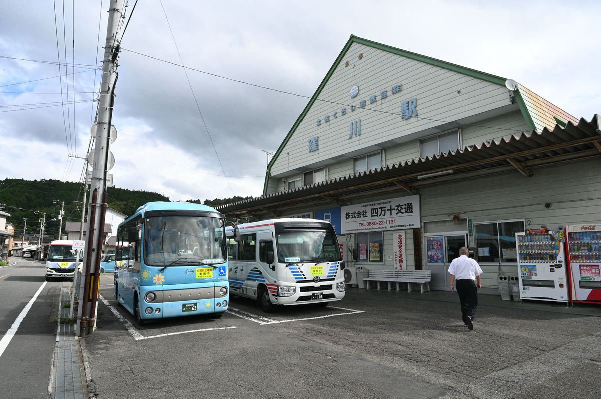
There are routes to a variety of directions, which is very useful if you are traveling by bus.
The passageway that spans Kubokawa Station is a free passageway that also serves to connect the Shimanto Town Hall buildings located on the east and west sides of the station.
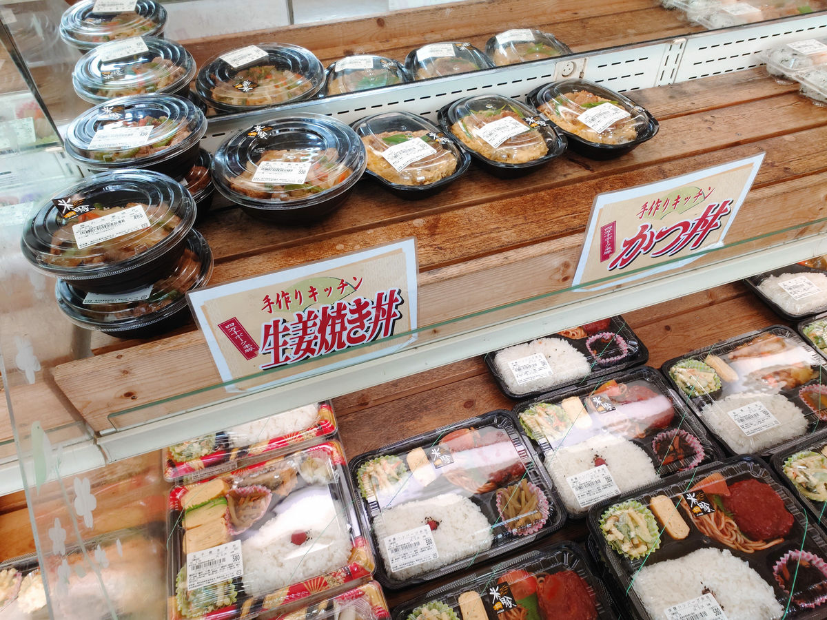
We stopped by JA Kochi Prefecture Midori City on the east side of the station.
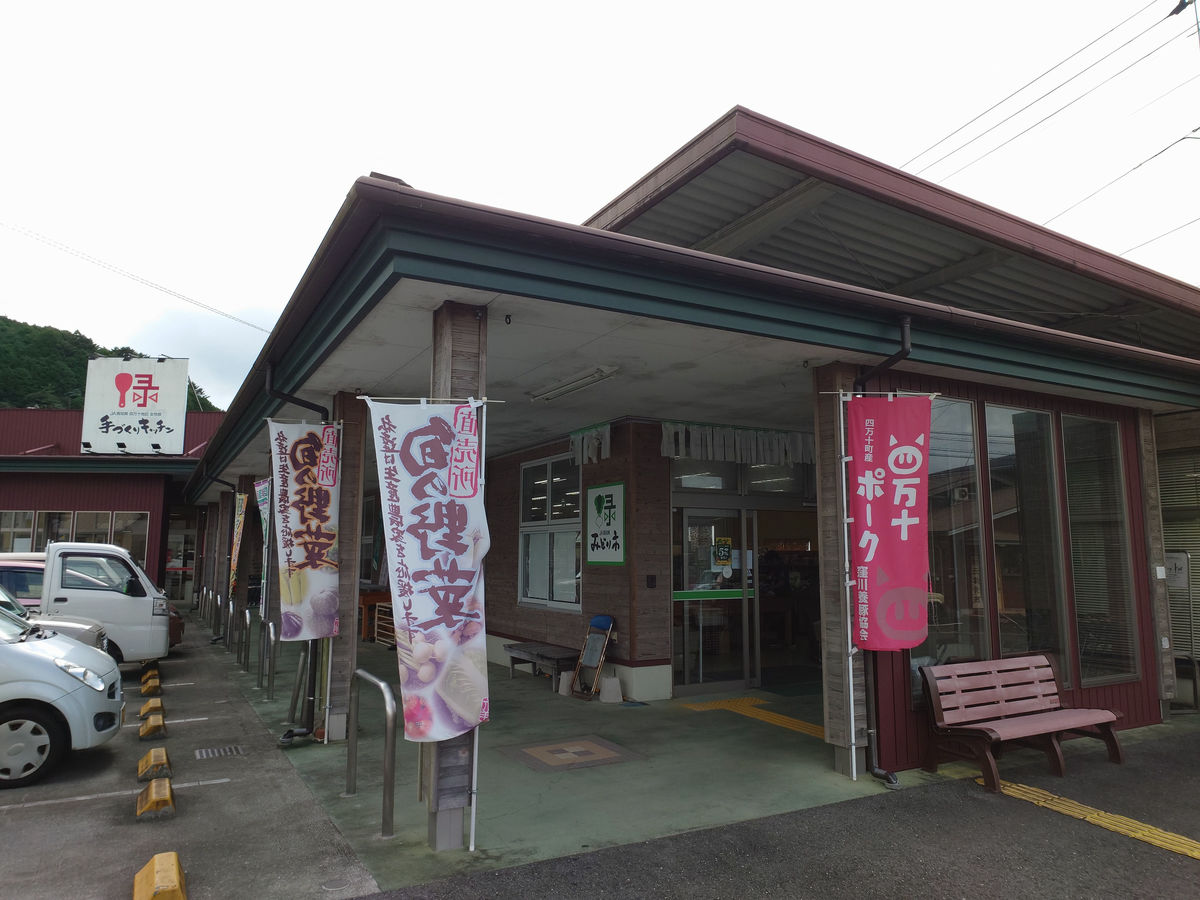
In addition to locally grown vegetables, they also sell bento boxes and side dishes.
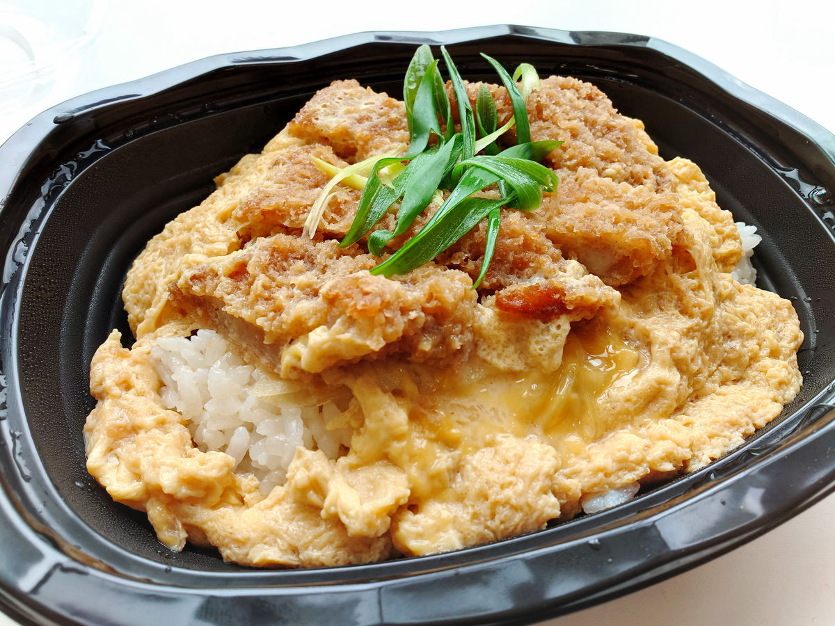
I hadn't had breakfast yet, so I bought a pork cutlet bowl made with
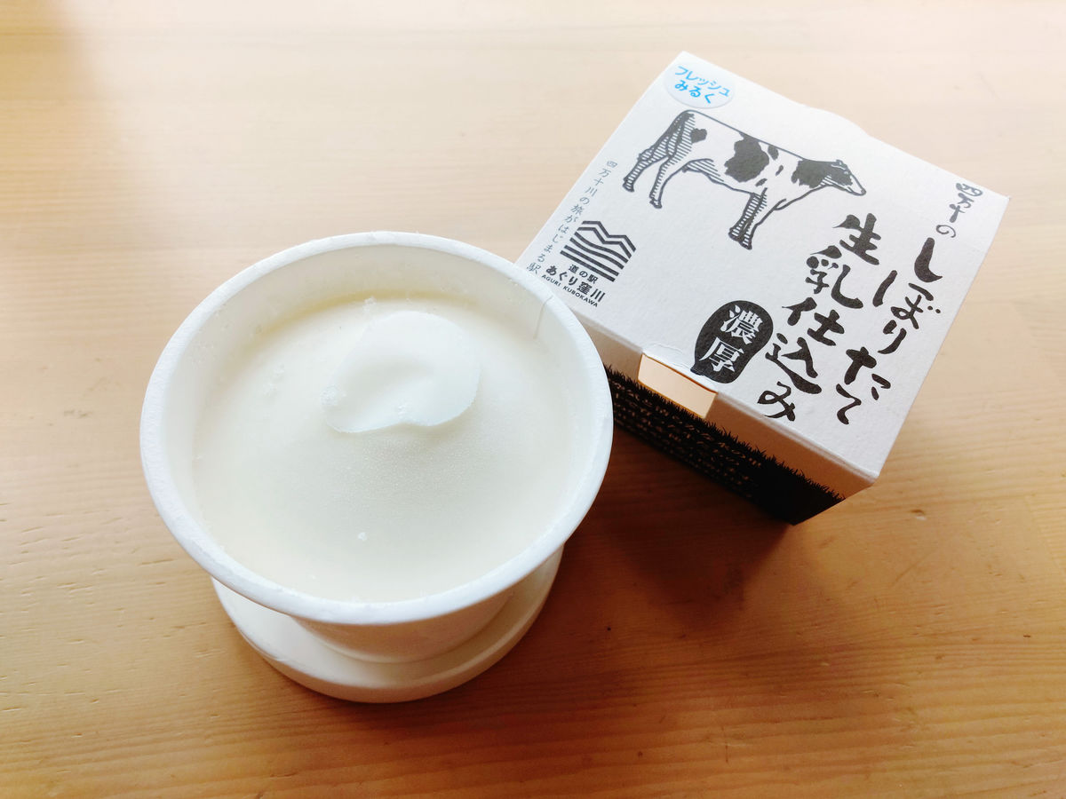
I wanted something a little more, so I bought some ice cream from the Aguri Kubokawa Roadside Station.
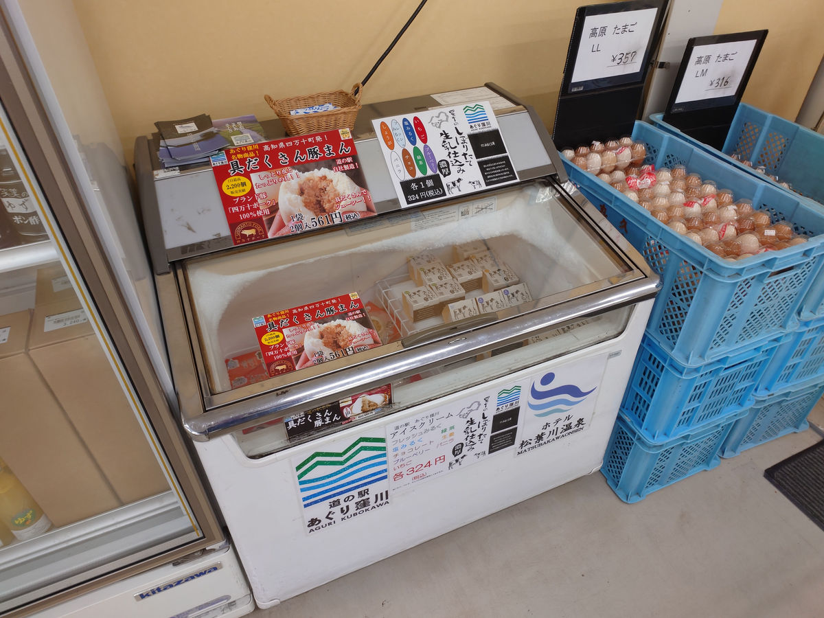
It is made with freshly squeezed raw milk from Shimanto, so it has a rich raw milk flavor.
The view from the north side of Kubokawa Station.
We walked around and returned to the station. In the waiting room, there was the '

It's time to head to the platform. I'm heading to Uwajima on the Yodo Line, which I wasn't able to ride on the first day due to the suspension of service.
To be more specific, the line runs from Kubokawa Station to Kawaoku Signal Station, which is just beyond the neighboring Wakai Station, on the Tosa Kuroshio Railway Nakamura Line. The view from Wakai Station, through Kawaoku Signal Station, to the next station, Iejigawa Station, where the line splits off from the Tosa Kuroshio Railway, looks like this.
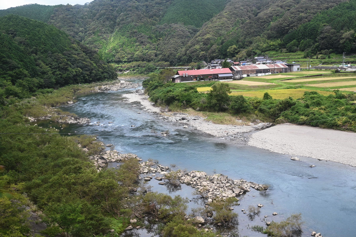
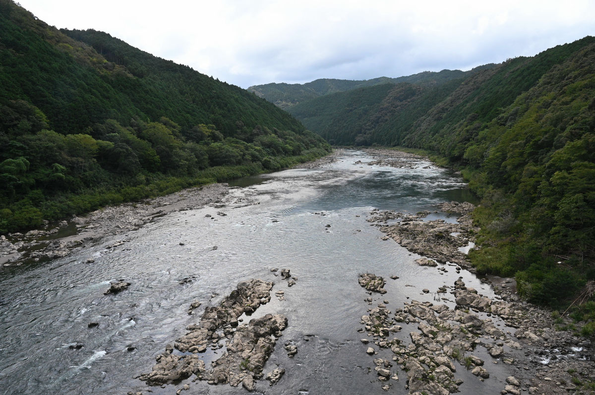
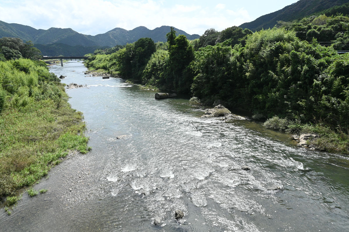
The flow of the Shimanto River. The Yodo Line runs along the river in many sections.
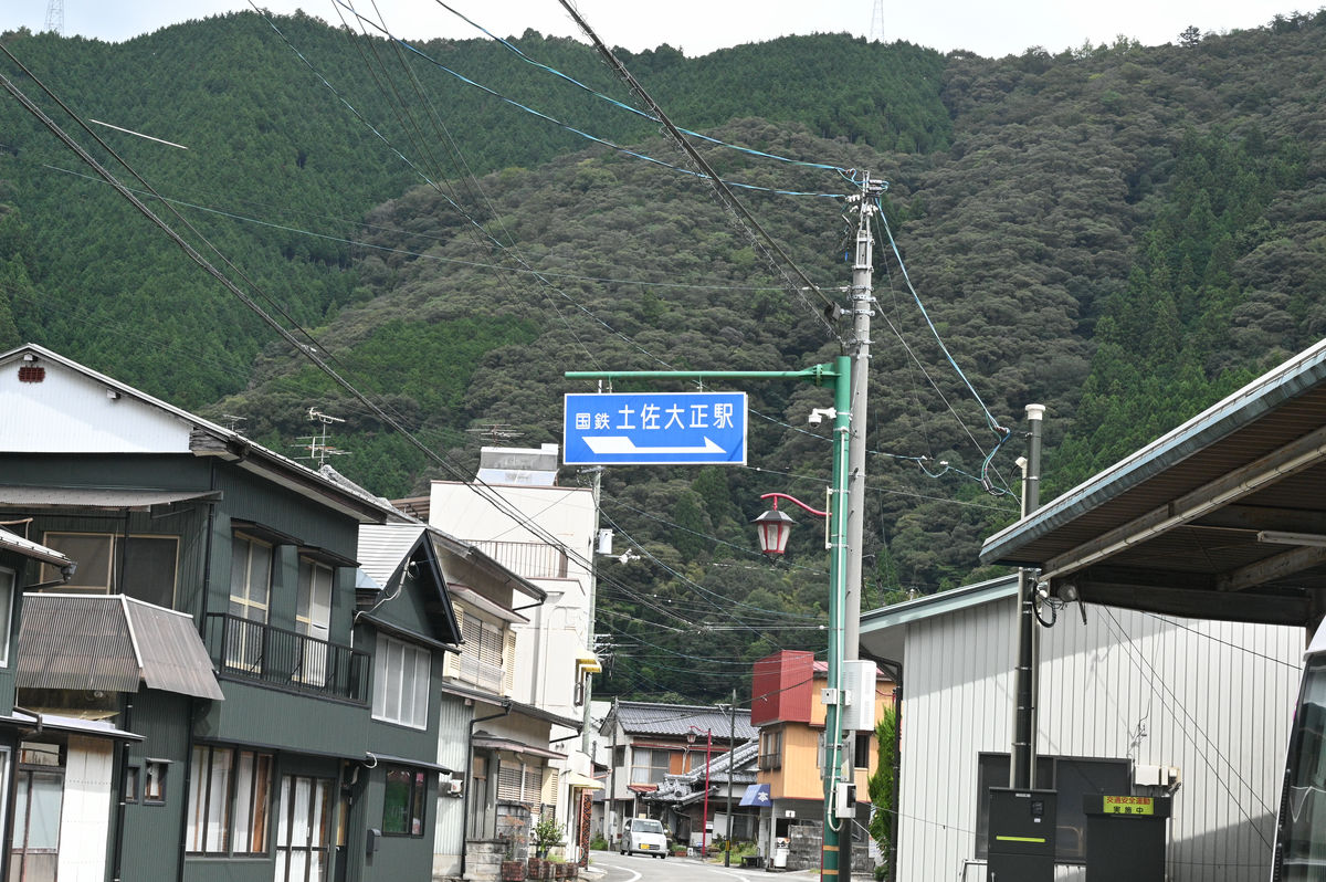
On the way, there is a 28-minute wait at Tosa-Taisho Station to allow other trains to pass each other. While taking a toilet break, I checked out the exterior of the station building.

There was a sign on the road in front of the station that read 'JNR Tosa Taisho Station.'
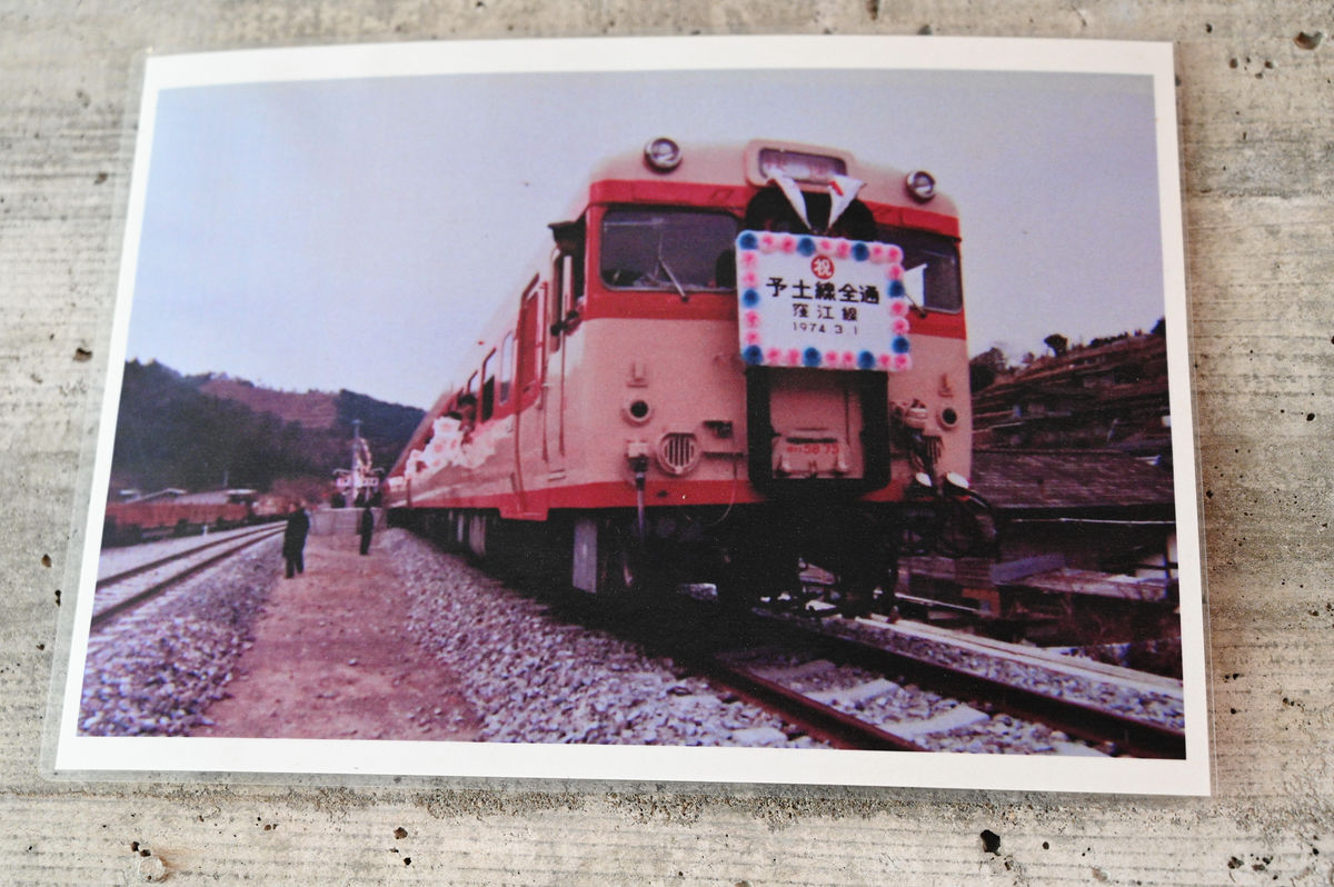
In the corridor connecting the platform and the station building, newspaper articles and photographs from when the Yodo Line was fully operational were on display.
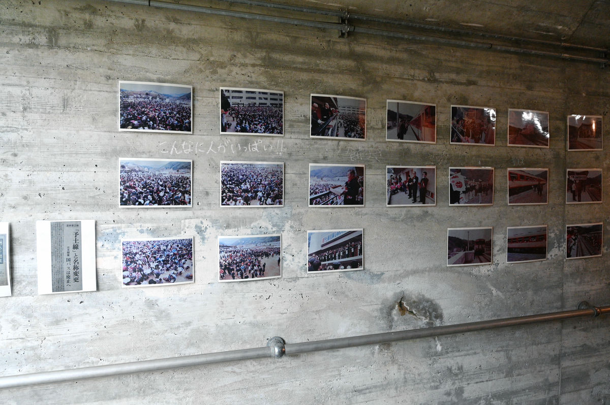
It appeared that both the train and the platform were full of people.
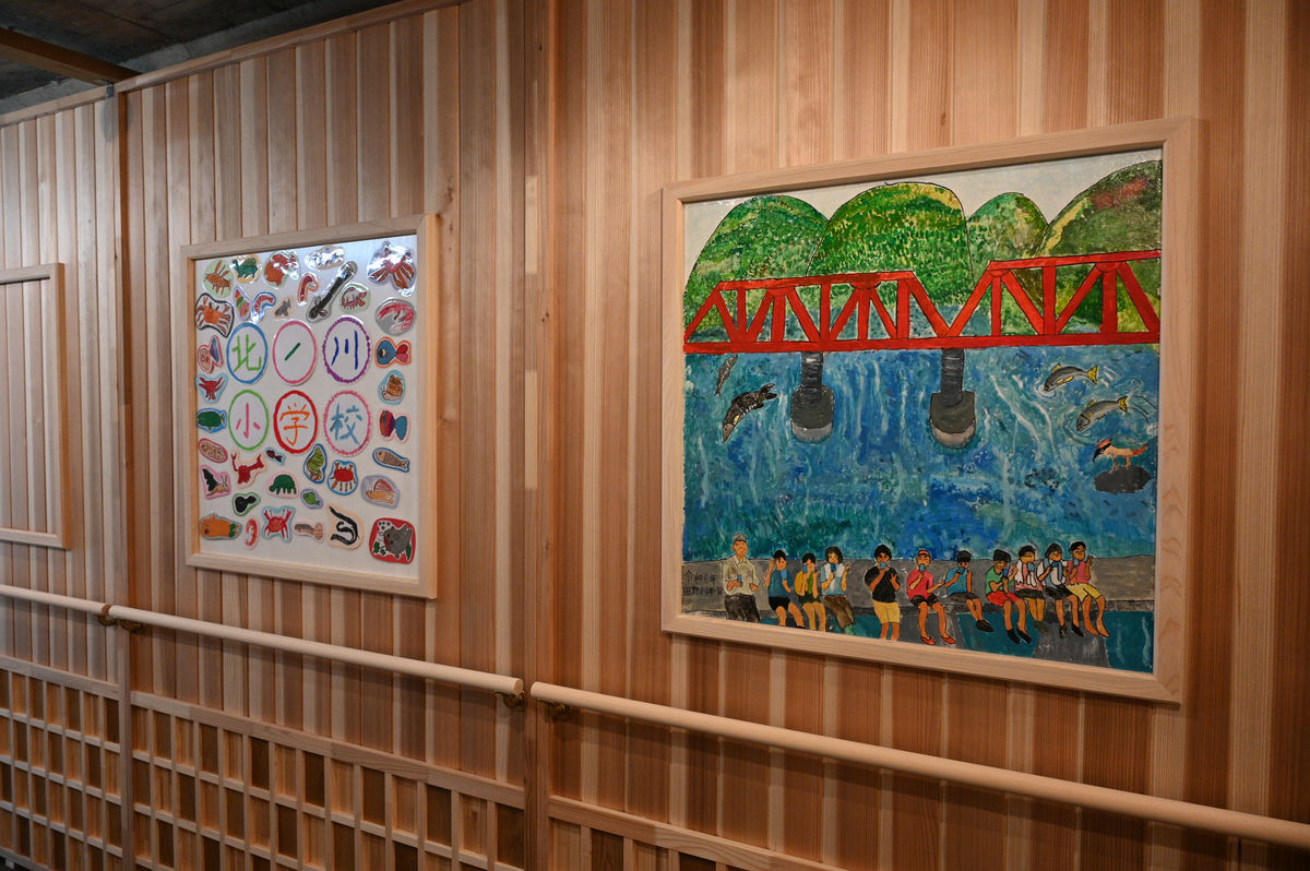
In addition, art by local elementary and high school students is also on display.
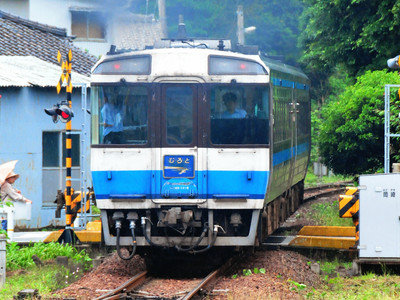
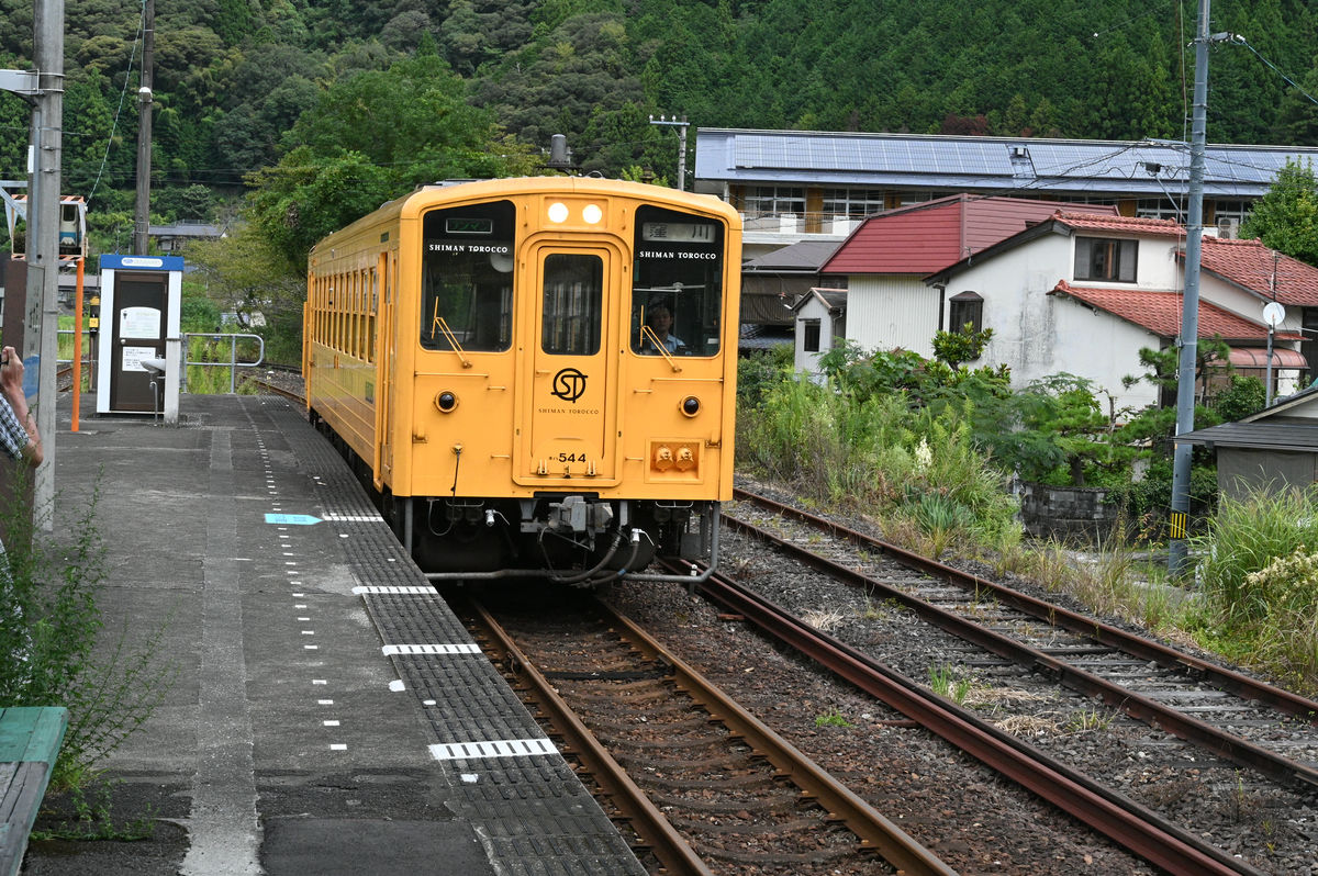
A train bound for Kubokawa has arrived. Although it does not have any trolley cars attached, it is a '
It's been two hours driving to get here, and only a short distance away is the train to Kubokawa, and from there it's a two-hour journey to Uwajima.
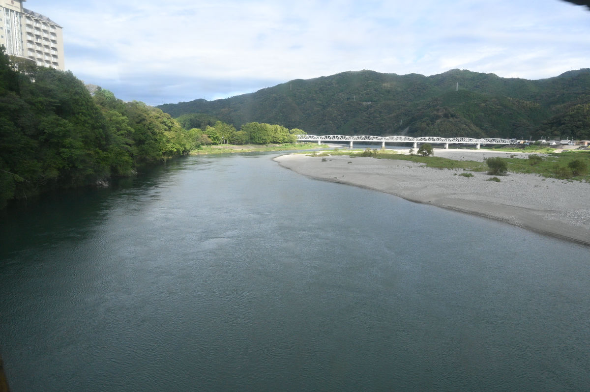
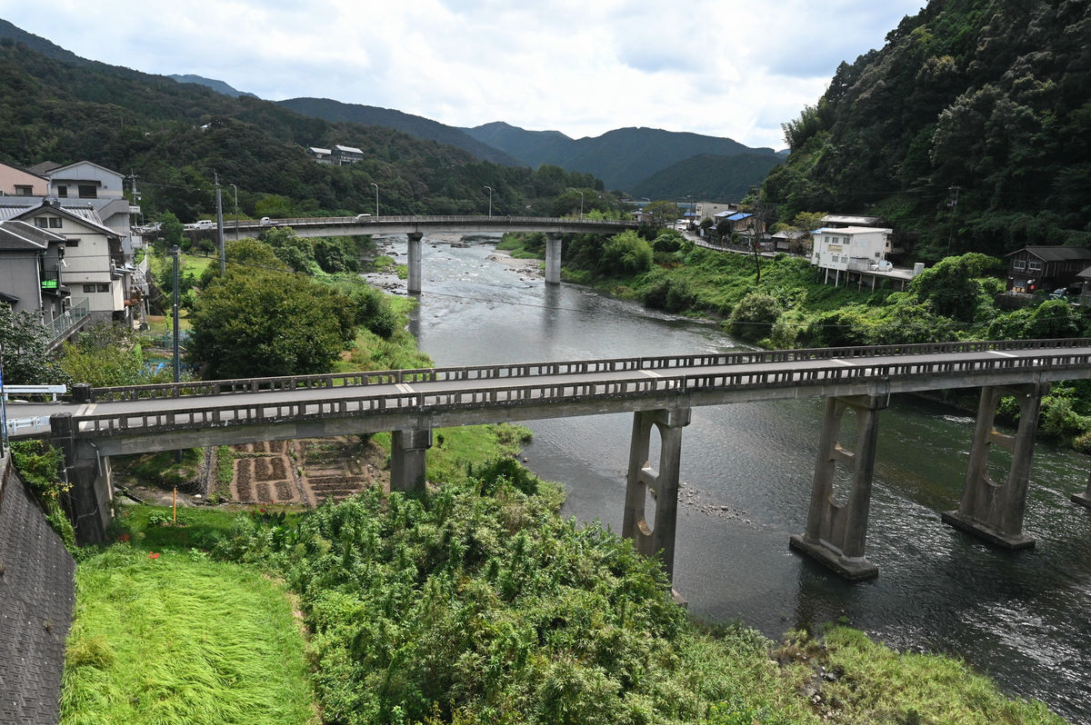
We drove alongside the Shimanto River and crossed it on a bridge.
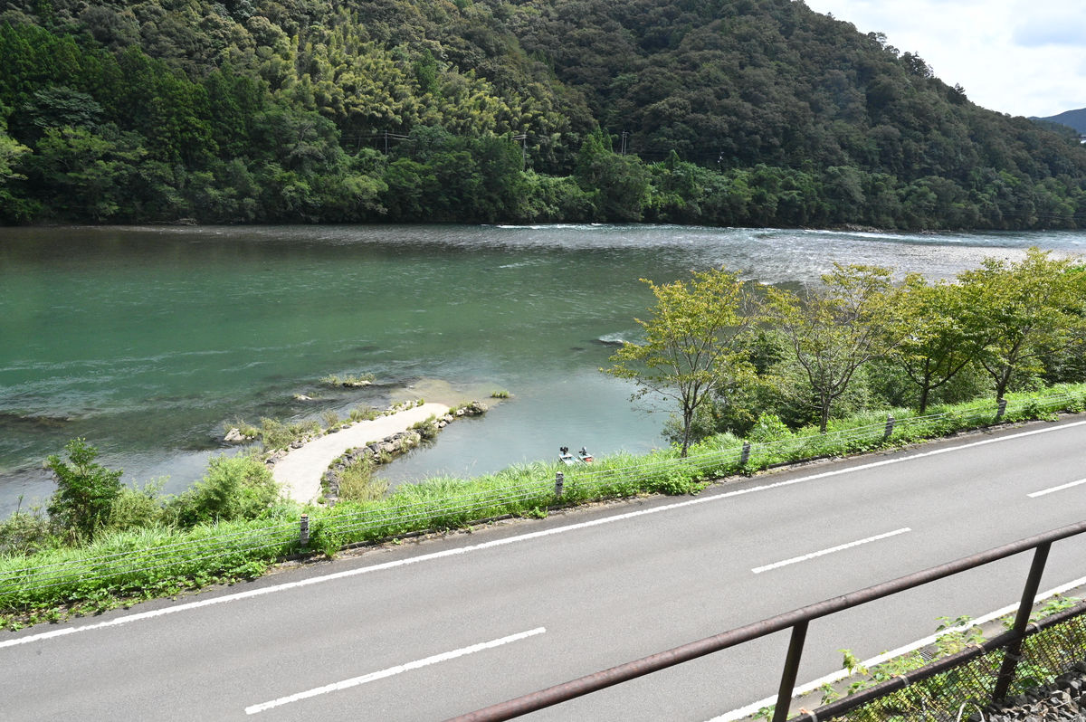
The Shimanto River is famous for its submerged
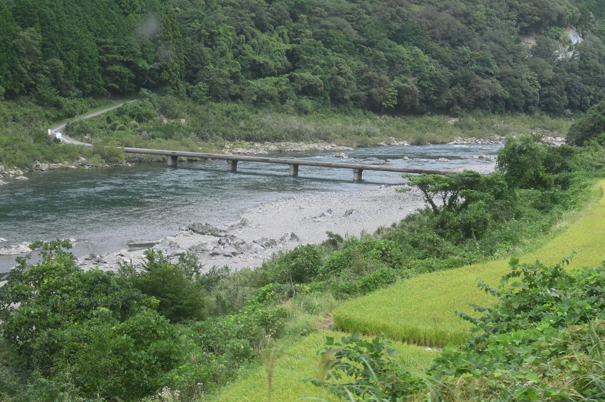
You can see several sunken bridges from the train windows.
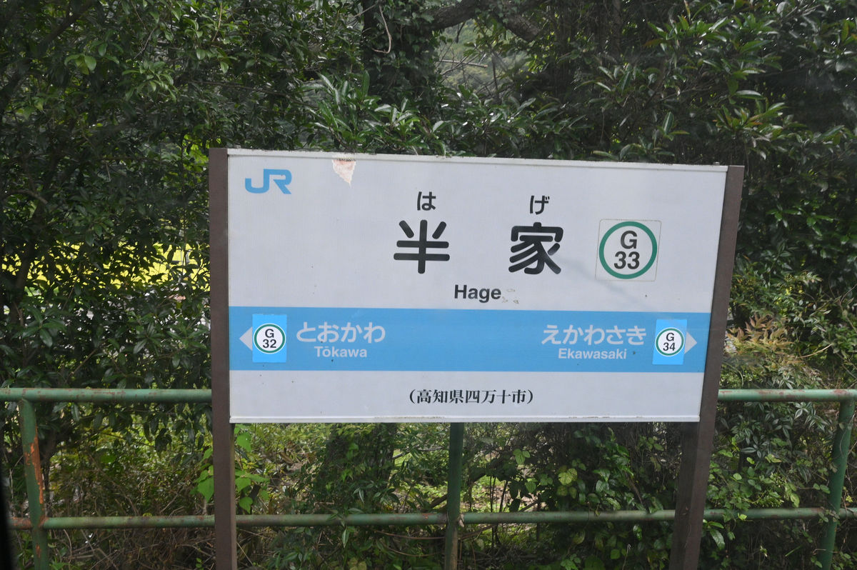
Another famous station is Hage Station, named after the nearby village.
After passing Hanka Station, it's time to say goodbye to the Shimanto River.
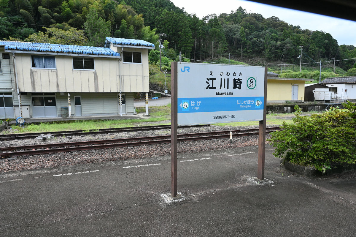
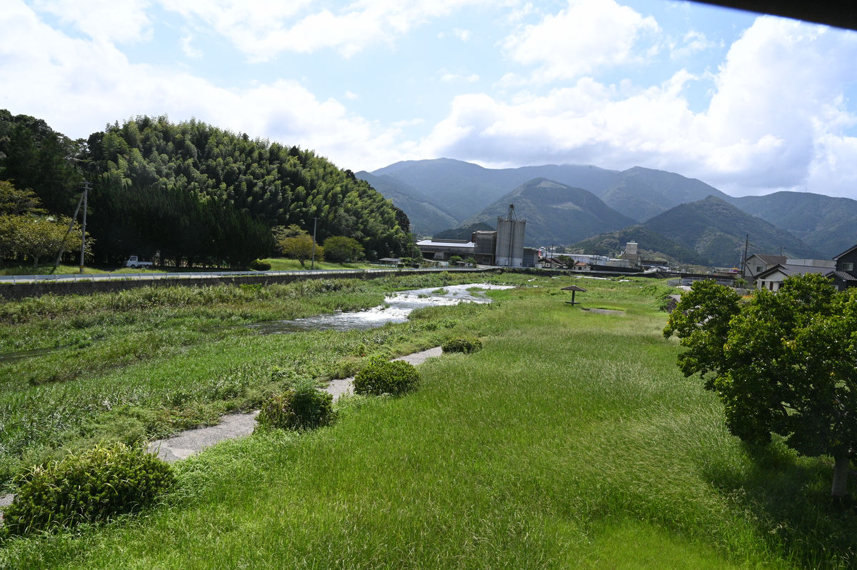
Just before Ekawasaki Station, the Yodo Line runs along the Hiromi River.
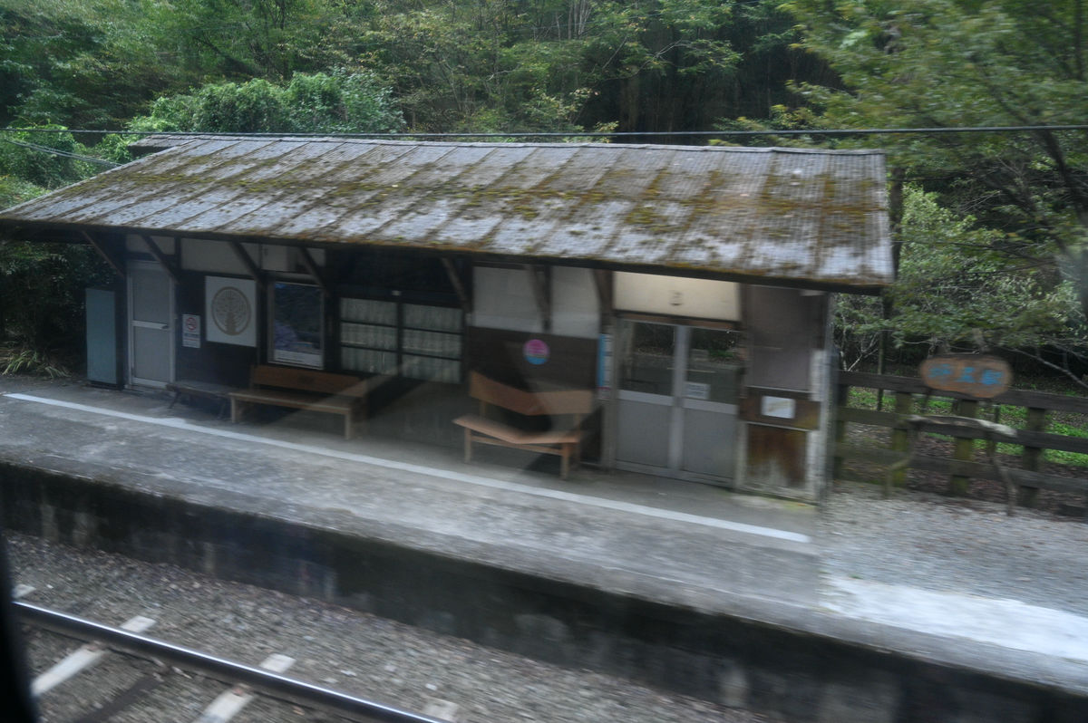
Ekawasaki Station. There are five round trips a day between Uwajima and Kubokawa on the Yodo Line, but there are four round trips between Uwajima and Ekawasaki.
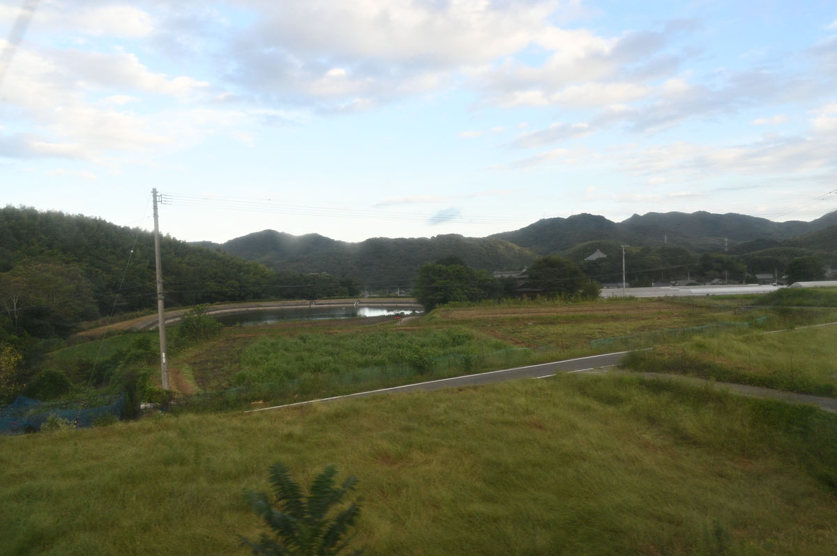
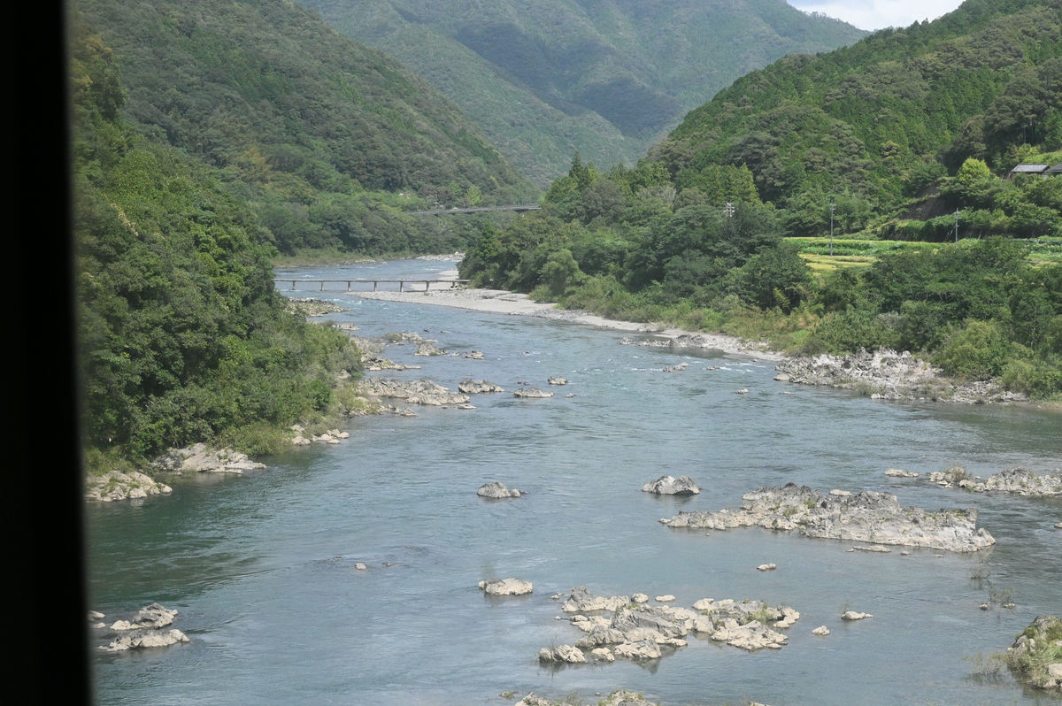
The gentle flow of the Hiromi River.
Matsumaru Station is adjacent to the
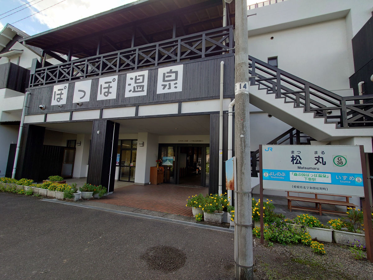
Once we passed Matsumaru Station, we left the Hiromi River and the route was no longer a 'tourist route through the valley along the river.'
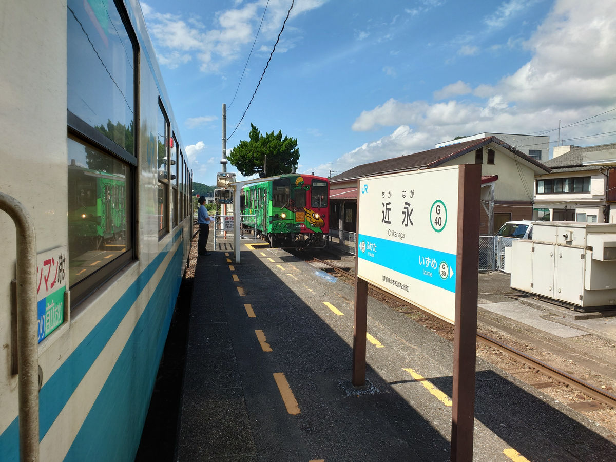
At Chikanaga Station, we passed another train. The next train to Kubokawa was
We walk into the strong sunlight.
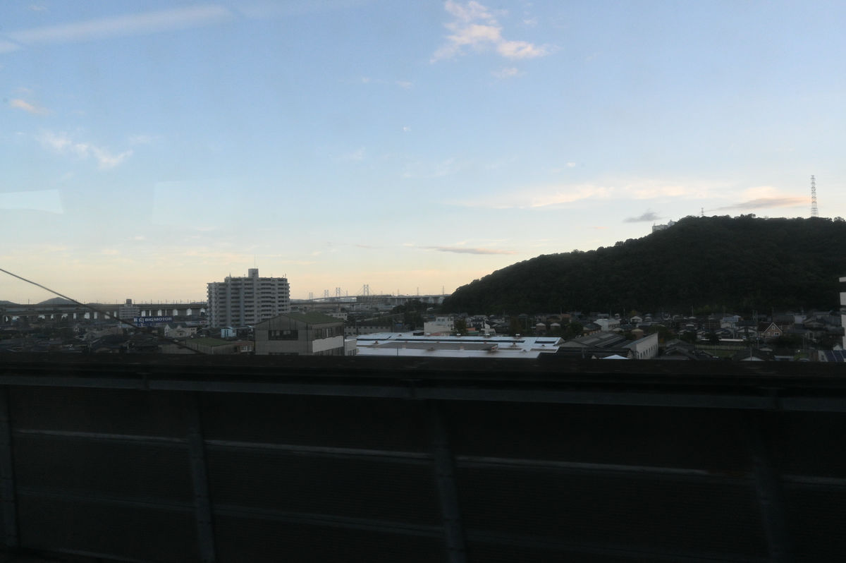
We climbed up along the Koman River towards Uwajima. We could see the Matsuyama Expressway on the right hand side of the road, and just one mountain away, the Yosan Line runs along the Takakushi River.
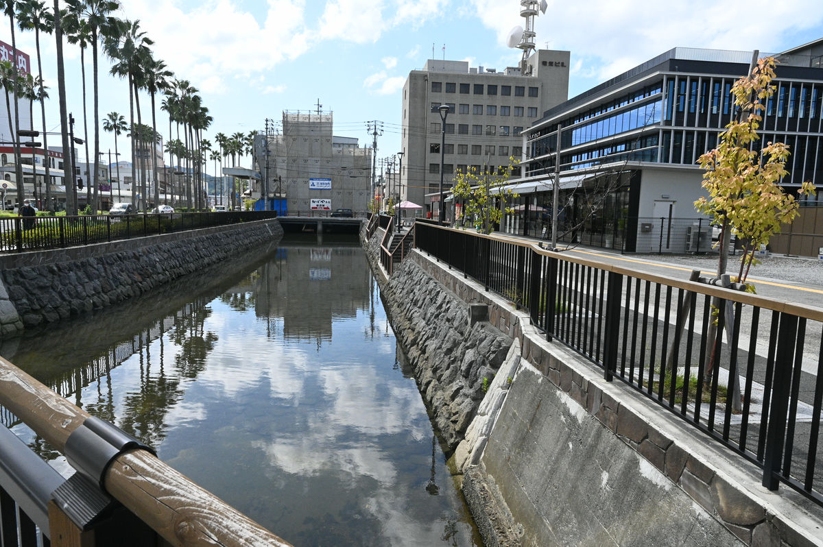
After leaving Kubokawa Station, the train arrived at Uwajima Station at 1:29 p.m., 2 hours and 46 minutes later.
◆Limited Express Uwakai No. 18: Uwajima → Iyo City
The next train is about 20 minutes away, so I'd like to have something to eat.
On the first day of the trip, the water in the canal in front of the station was murky due to the rain, but now it was flowing calmly.
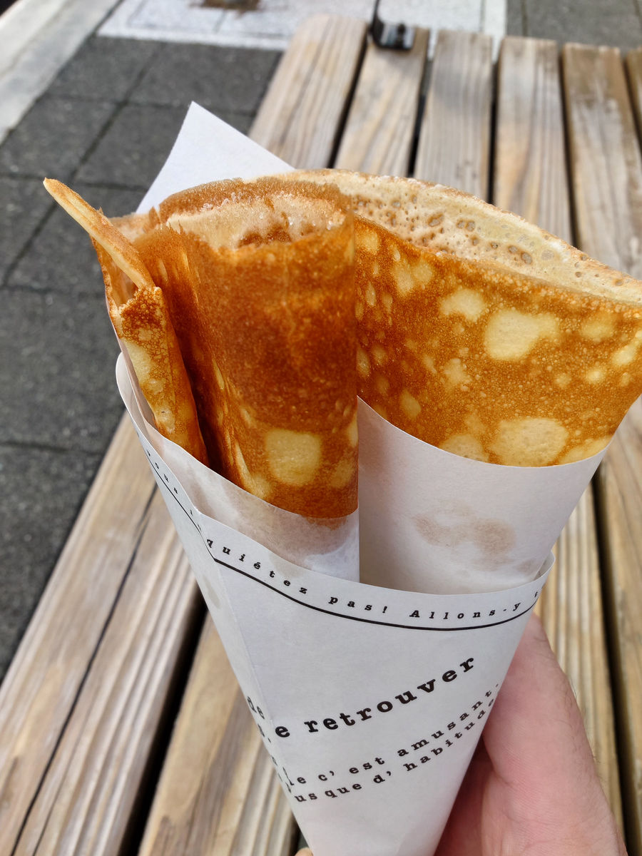
There was a crepe shop called
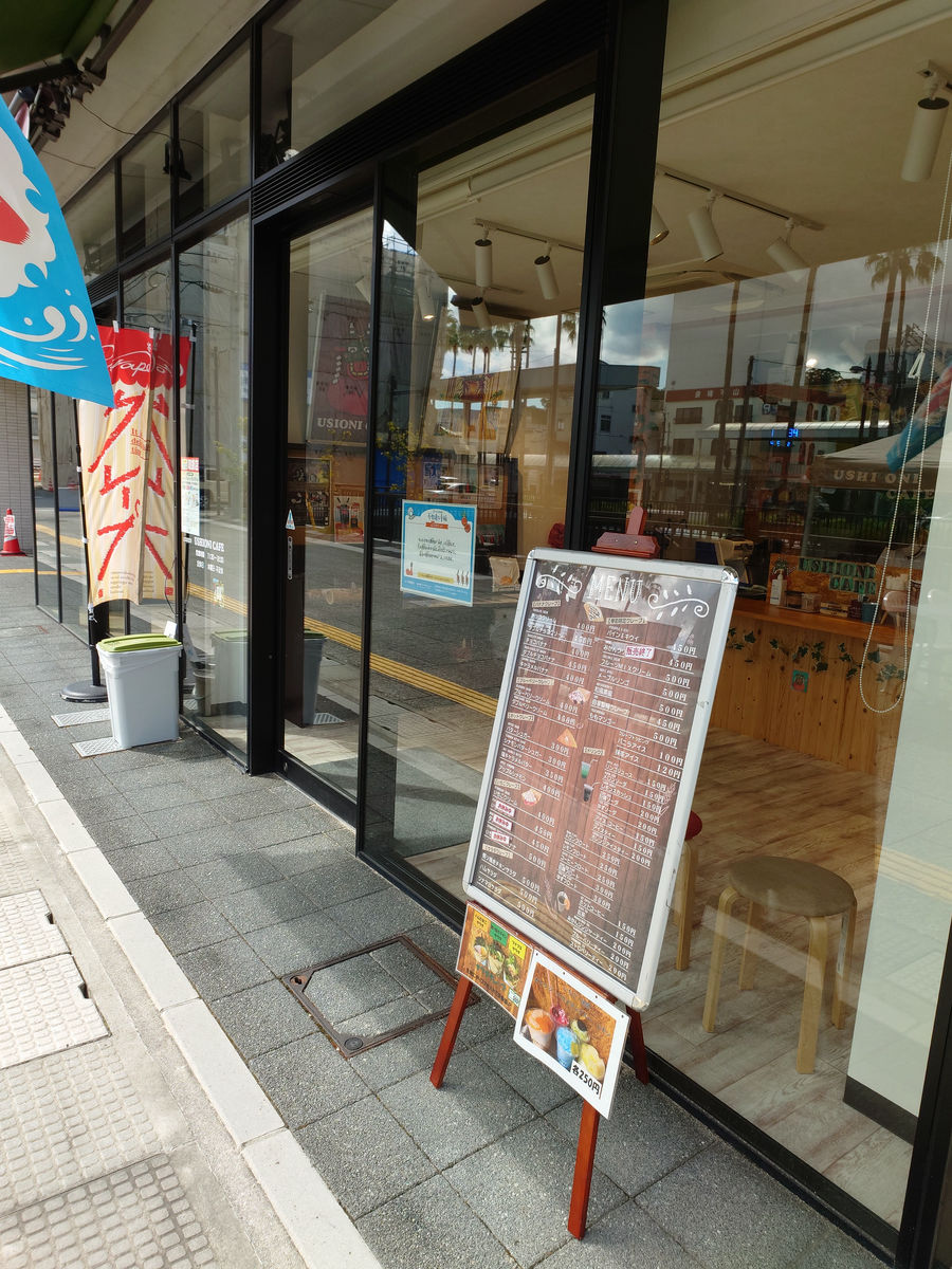
The most popular is the Sugar Butter (300 yen). It has a crispy edge and a chewy inside.
Now, we are departing for Matsuyama on the Uwakai Express.
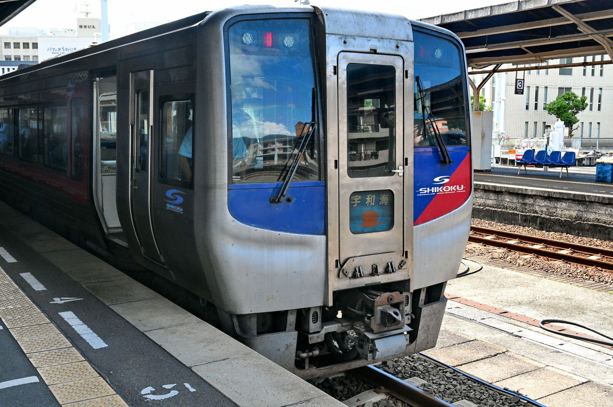
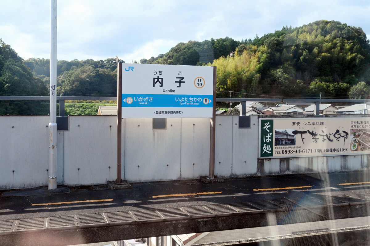
The Uwakai Express runs from Iyo-Ozu via the Uchiko Line, which does not run along the coast.
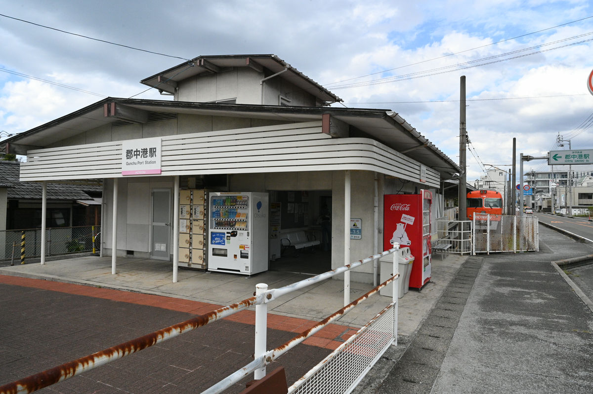
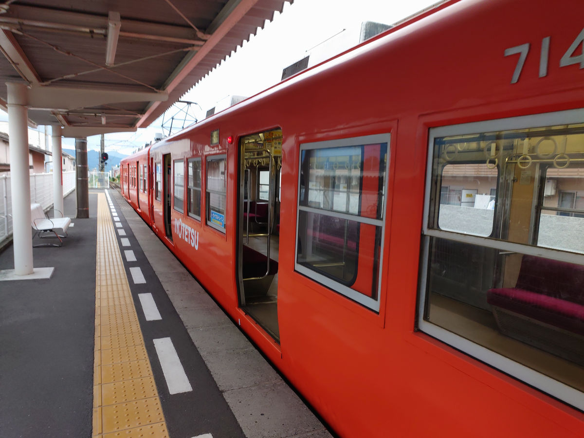
◆Iyo Railway: Gunnaka Port - Matsuyama City, Yokogawara, Takahama
I didn't ride the train all the way to Matsuyama, and got off at Iyo-shi Station at 3:09 p.m.
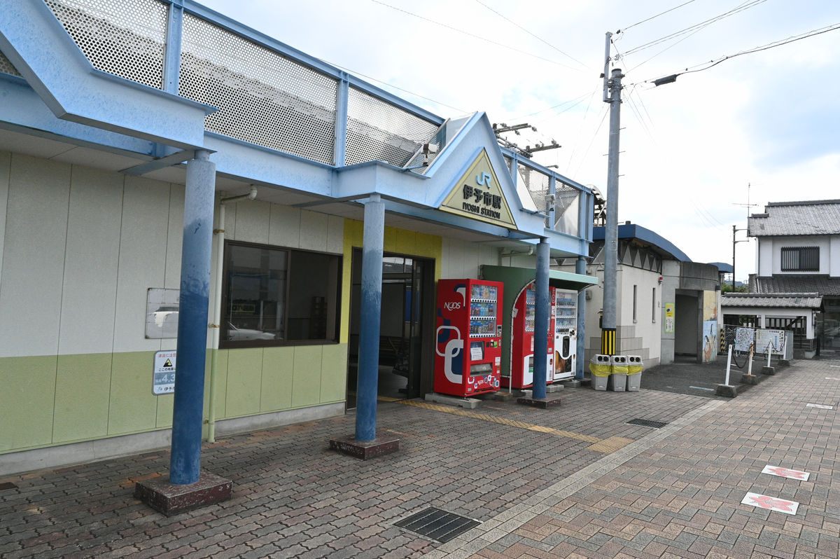
If I had boarded the train, I would have arrived in Matsuyama at 3:18 p.m.
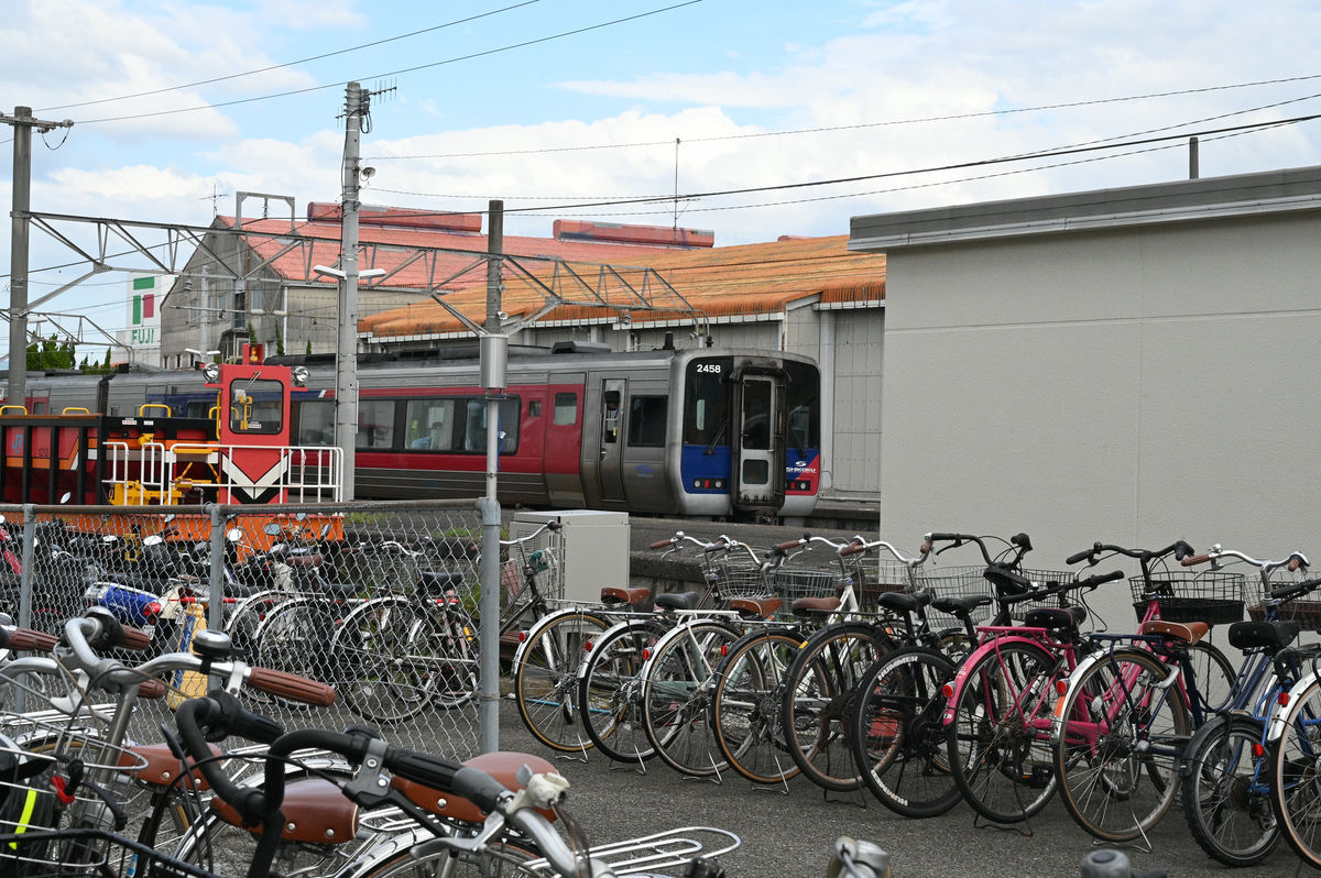
However, since I had already taken the Yosan Line on the first day, I decided to move to Gunnakaminato Station on
Iyotetsu has three suburban trains that run from Matsuyama-shi Station to Takahama Station, Yokogawara Station, and Gunnakko Station, as well as a city tram (streetcar) that runs within Matsuyama City.
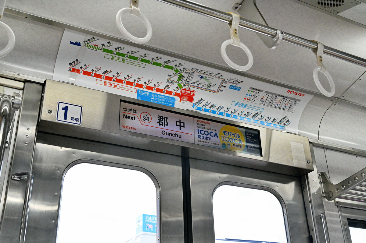
We enter Matsuyama City from Gunnaka Port and then head to Yokogawara.
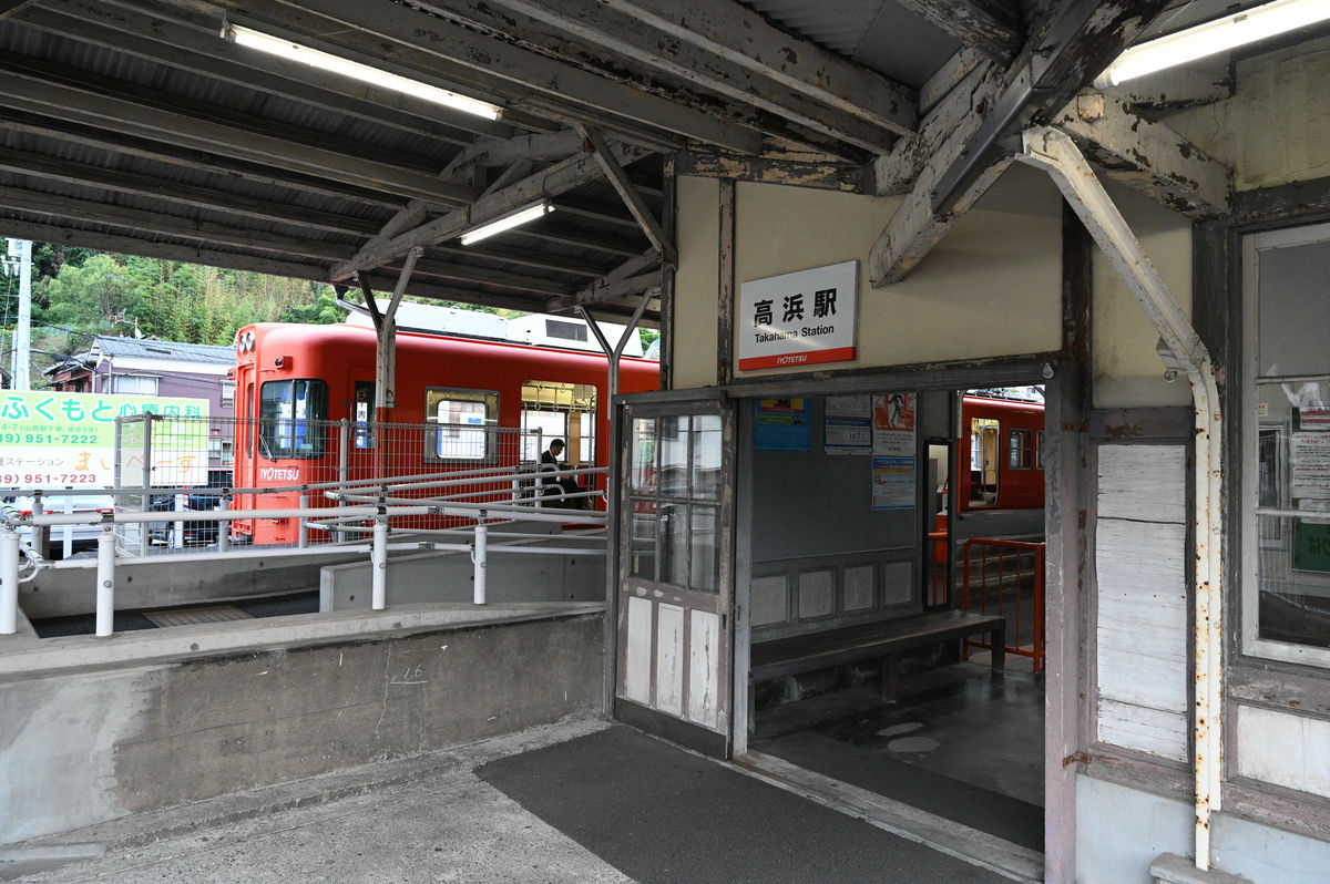
I also took the Iyotetsu suburban train to Takahama. Unfortunately, the Iyotetsu suburban train does not offer a 'one-day pass.'
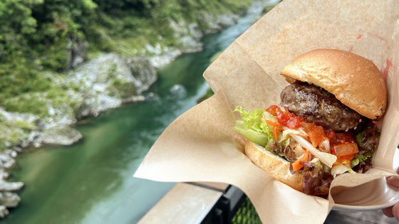
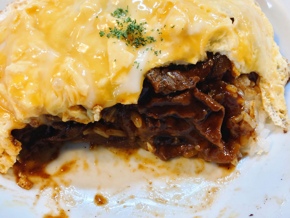
For dinner, we went to the Western restaurant Bulldog Hokomachi.
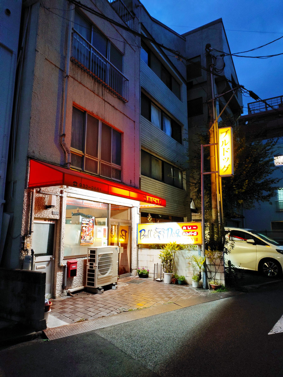
I ordered the 'Royal Haishi' (750 yen), which is said to be a specialty.
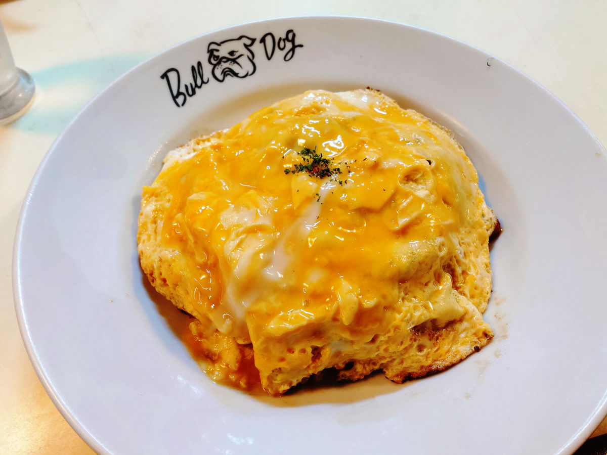
This dish is made of hayashi rice with plenty of meat wrapped in a thin, runny egg. It will melt right into your stomach.
We will stay overnight in Matsuyama city and prepare for the final day.
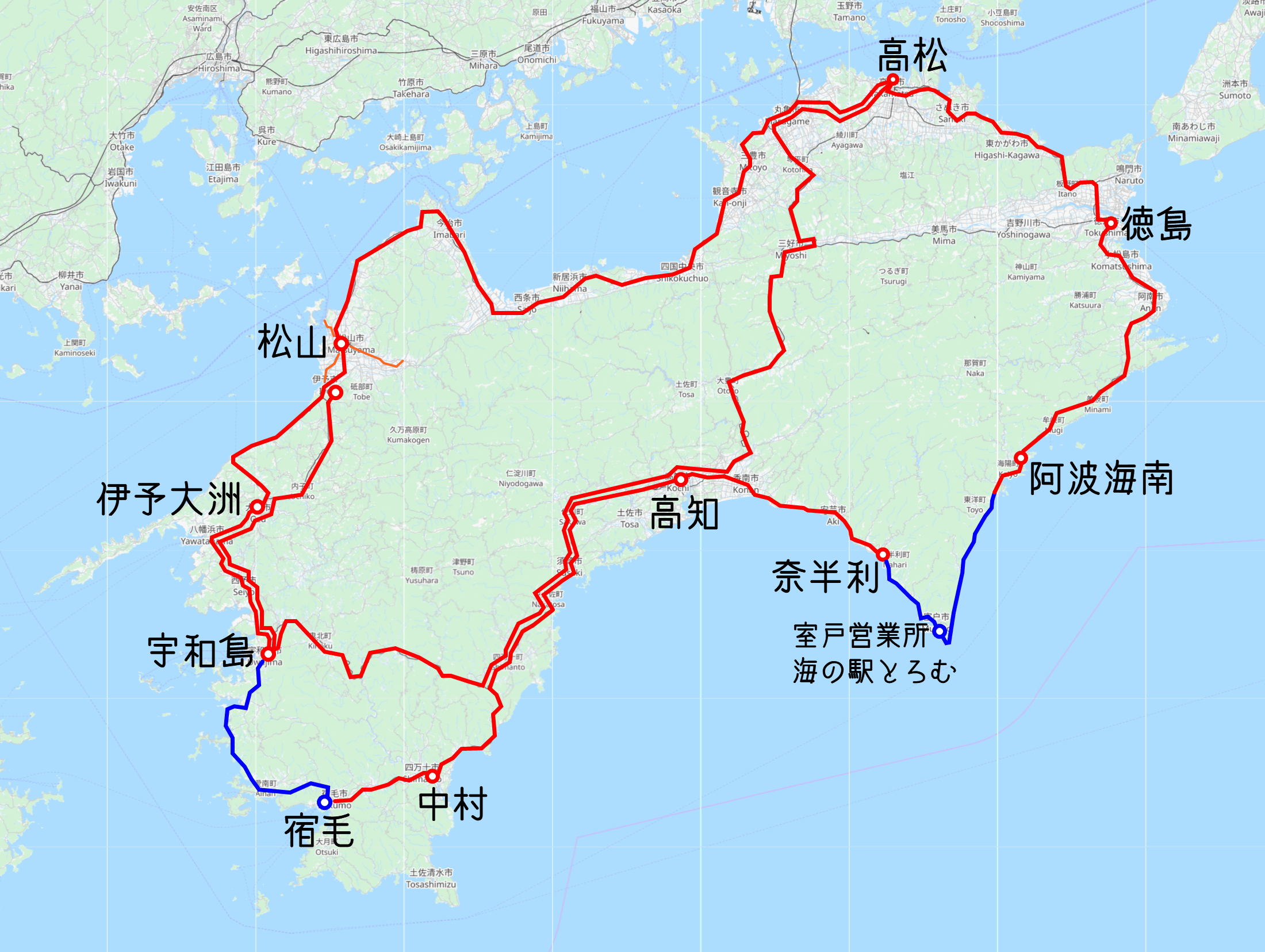
A map with the results of my travels on the third day. The red lines indicate train travel, and the blue lines indicate bus travel. I also added the Iyotetsu suburban train line around Matsuyama. Strictly speaking, JR Matsuyama Station and Iyotetsu Matsuyama-shi Station are different stations. The only remaining JR Shikoku lines I have not yet ridden are the Tokushima Line and the Naruto Line.
Continued
Related Posts: