If you change the way you look at the world map, you will see a slightly different world

Most of the 'world maps' that you often see are generally drawn in the Mercator projection, but the country drawn in this projection has the characteristic that it is displayed larger than it actually is as it approaches the North Pole and the South Pole. Blogger Thomas Pueyo introduces what kind of world you can see by changing the way you look at the world map.
Maps Distort How We See the World - by Tomas Pueyo
You can check the gif that clearly shows the difference between the countries drawn in the Mercator projection and the actual size by clicking the image below.
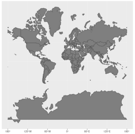
If you make a still image like this. The dark color is the actual size.
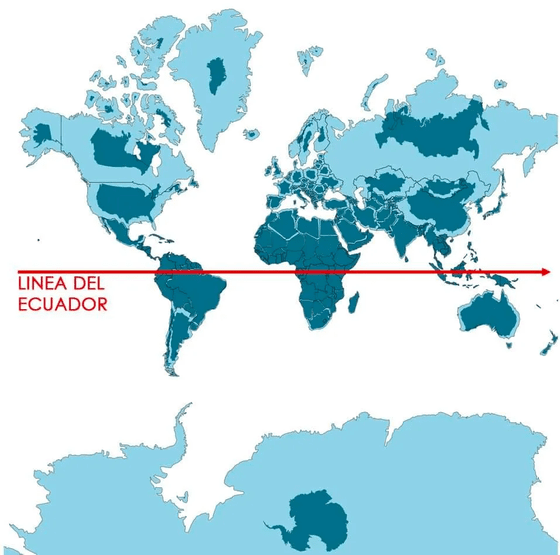
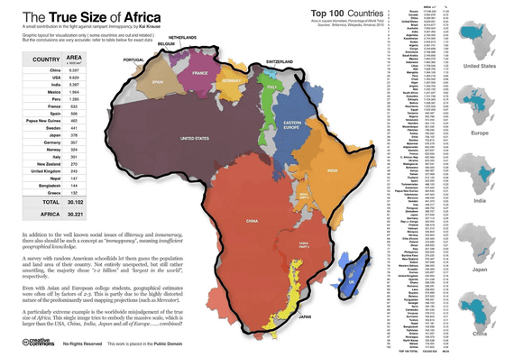
This is the real size of Africa. In the Mercator projection, Russia, which looks vast, fits perfectly in Africa. It is large enough to accommodate the United States, China, Brazil, Europe, and India.
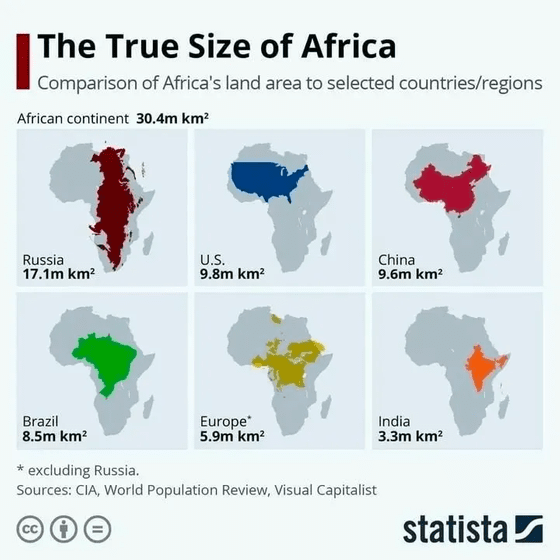
When you pack various countries in Africa, it looks like this
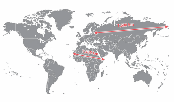
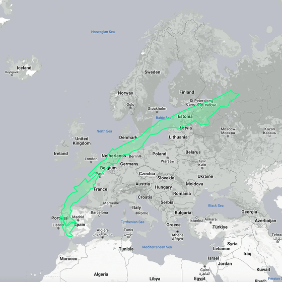
As you can see from the length, there is only 100 km difference from the westernmost point of Russia to the easternmost point of the African continent and from the westernmost point of Africa to the easternmost point.
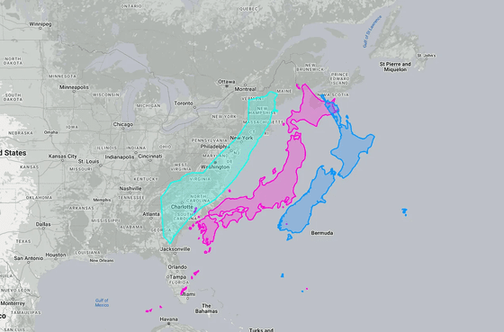
Somalia and New Zealand are almost the same size as Japan.
Brazil is so big that even if you put all of Europe in it, you will get change.
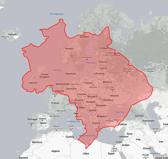
This is a comparison of Europe, India, Canada and China.
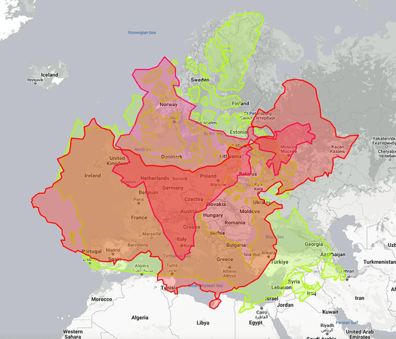
Indonesia is actually quite a long country, as
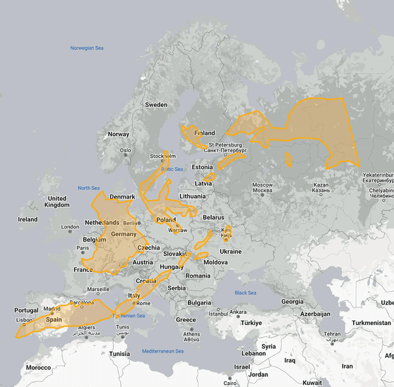
Same with chili.
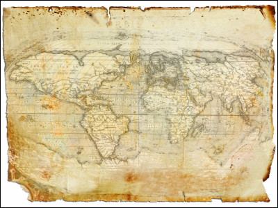
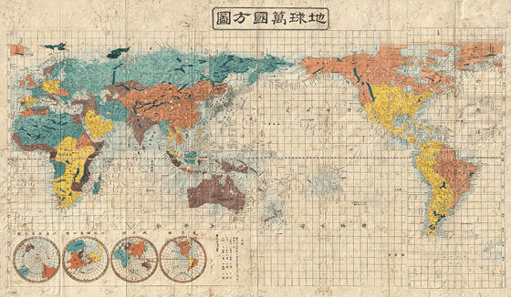
World maps sold in Japan are generally centered on Japan. By the way, this is a world map published in 1853.
If you change the center to Argentina, it will look like this. It is easy to see that there is nothing in the west of Chile.
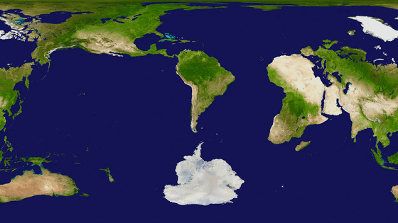
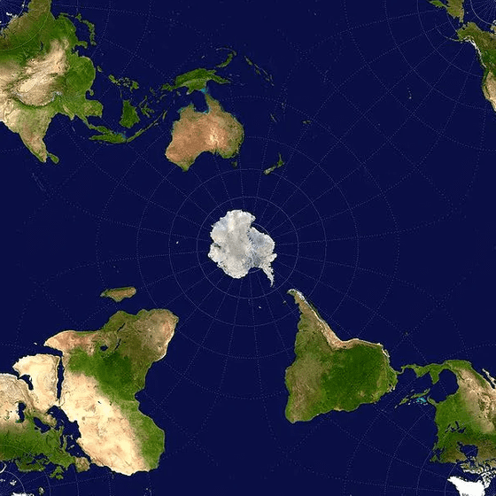
On the other hand, looking at Antarctica, it looks like this. Antarctica is Chile's neighbor.
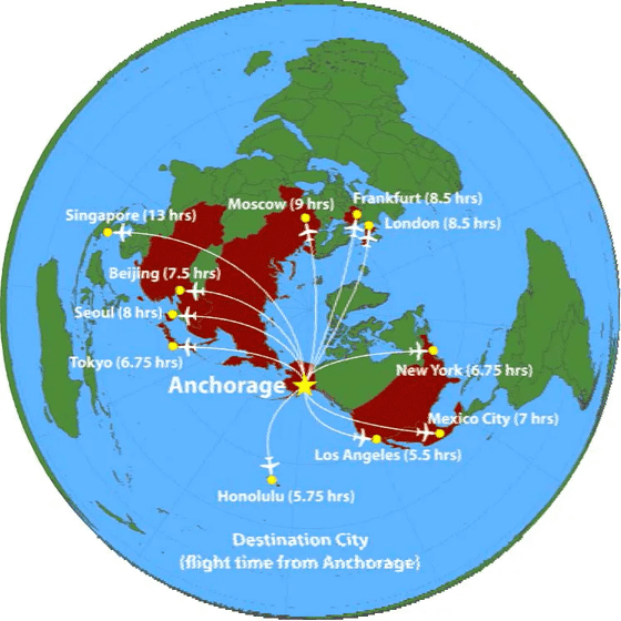
It is like this when centering around Alaska. Alaska's Anchorage Airport seems to be the third largest in the world in terms of cargo transportation volume, but looking at it in this way, it is understandable that there is such an airport in Alaska, which is close to various countries.
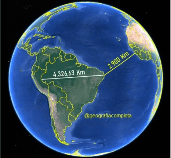
In terms of distance, there is less distance from the easternmost point of Brazil to the African continent than from the westernmost point to the easternmost point of Brazil.
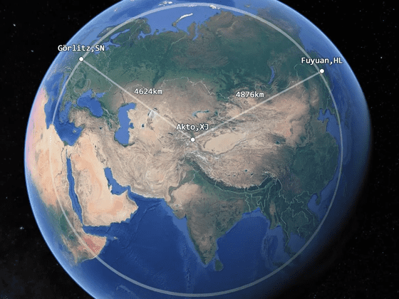
The fact that the western edge of China is closer to Germany than the eastern edge of China.
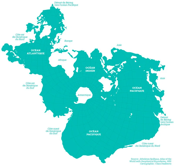
This is a map with the sea and land reversed. For fish, this may be a 'world map'.
Related Posts:
in Posted by log1p_kr

