Why is Chile so long?
When you look at a world map, you can see that Chile has an unusually long and narrow shape. Thomas Pueyo, an expert in geography and history, explains why Chile has such a long and narrow territory.
Why Is Chile So Long? - by Tomas Pueyo
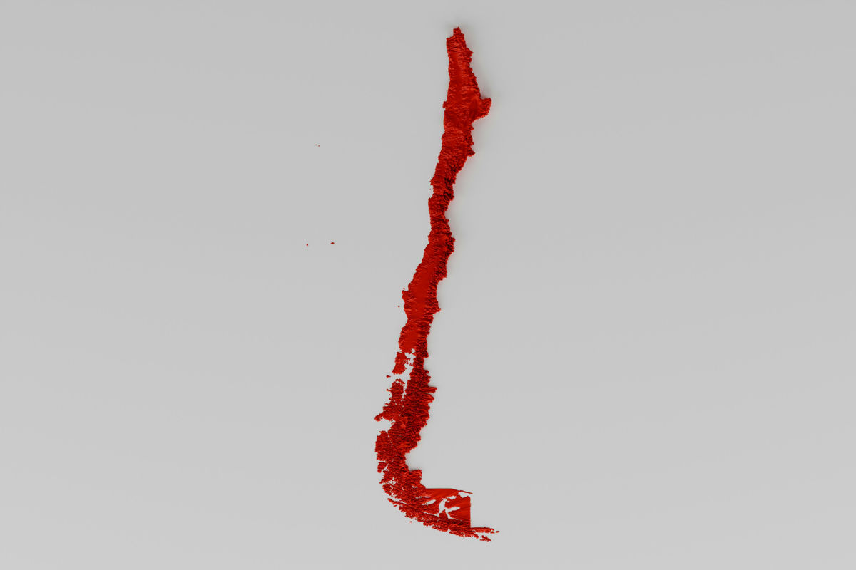
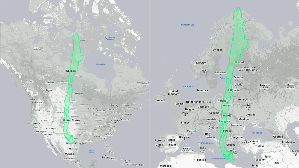
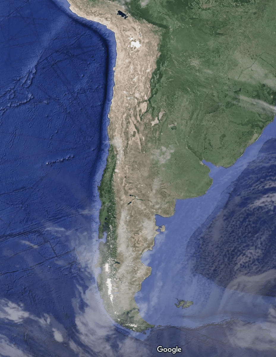
Chile has a total length of about 4,270 km, which is long enough to cross the US and Canada, but its width is only about 177 km on average, which gives the impression of being a long and narrow country on a map.
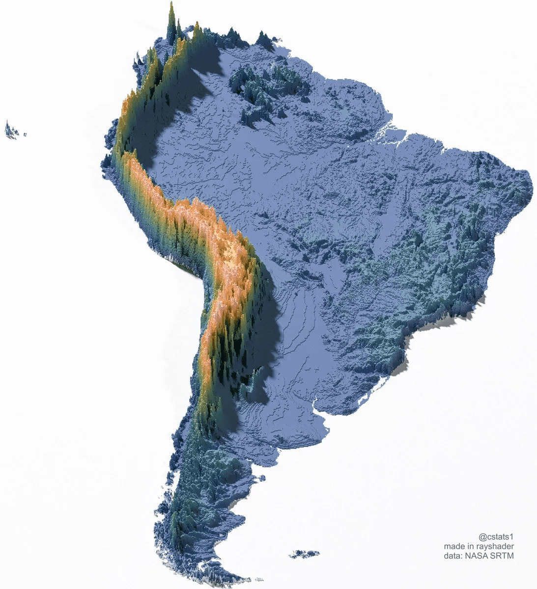
The main reason why Chile is long and narrow is the Andes Mountains. Below is an elevation map of South America, with the mountains running north to south being the Andes Mountains. The main land of Chile is on the west side of the Andes Mountains. Being surrounded by these rugged mountains prevented invasions from neighboring countries even during periods of intense territorial disputes.
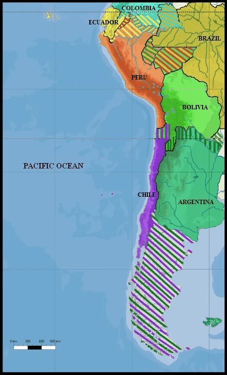
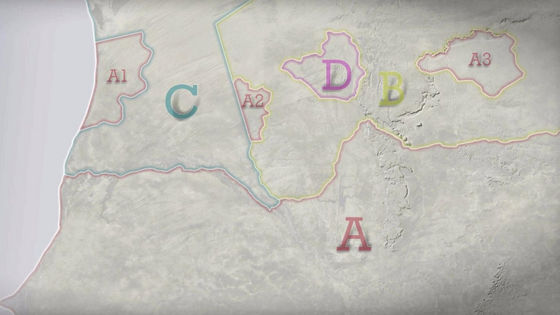
Chile was not as long and narrow as it is now. Below is a map of the disputed territories from 1879, which shows that the north was in conflict with Bolivia (light green) and the south with Argentina (green). In the north, Chile (purple) won territory from Bolivia and Peru as a result of a war, and in the south, after conquering the indigenous people, Chile took control of the western part of the country in a war with Argentina. This is how the current long and narrow Chilean territory was born.
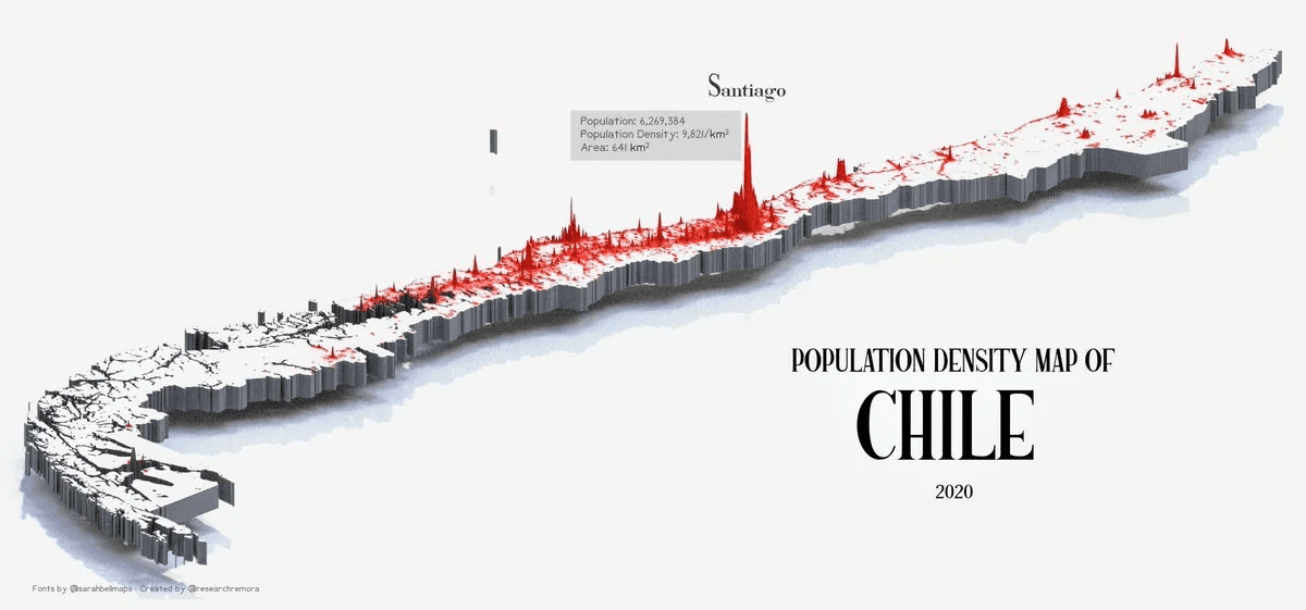
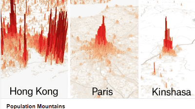
Chile is long from north to south, but most of the inhabited areas are concentrated in the center.
This can be seen clearly in population distribution maps: people congregate in the center because the north is too dry and the south is too cold.
The winds blow westward near the equator and eastward in the south, but the Andes stop both. Near the equator, the Andes prevent moisture from the Atlantic Ocean, making northern Chile dry, and further south, they block all moisture from the Pacific Ocean, making southern Argentina dry.
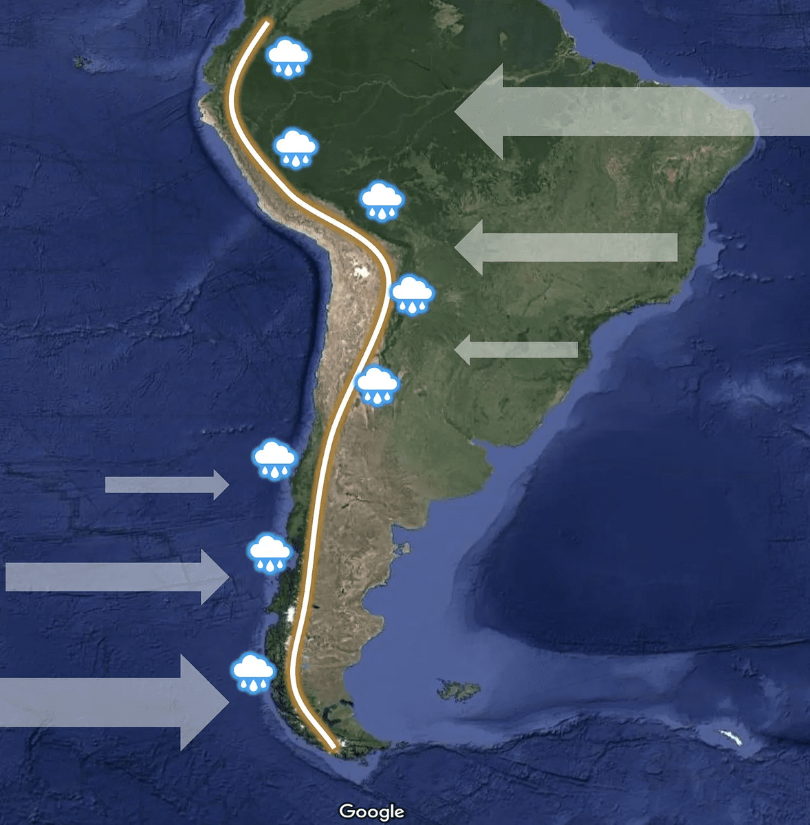
That is why only the southern part of Chile is covered in greenery. However, the southern tip of the country is too close to the Antarctic, so people naturally gathered near the center.

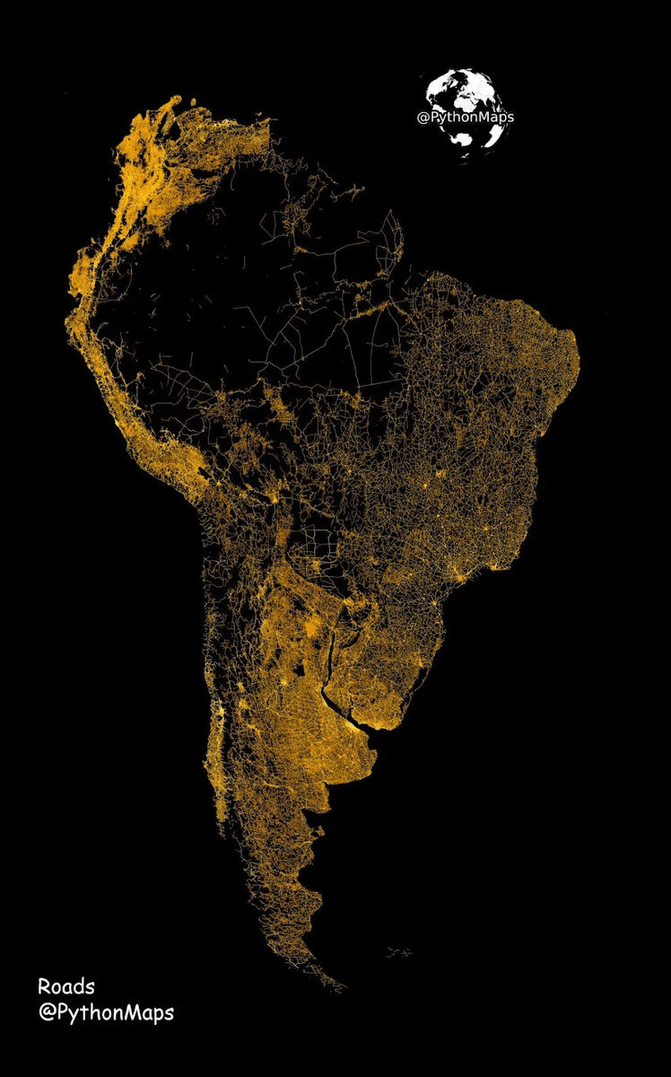
Below is a map showing the roads in South America. You can see that the roads are concentrated in the center of Chile.
Related Posts:

in Posted by log1p_kr