Even the Americans do not know much 'What is strange American Geography Triangle'?

There seems to be plentiful "America's strange and unknown geographical miscellaneous" which is not so familiar to the United States with a vast country land. A movie that describes the geography of such America is published on YouTube.
How the Geography of the US is Weirder Than You Think
In the United States originally indigenous people lived, but after the explorer Christopher Columbus discovered the North American continent in the 15th century people started settling from Europe.
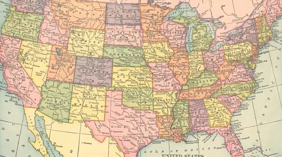
More than 300 million people now live in the U.S., but few people know exactly the geography of America.

It is often thought that the North American continent is "right above the South American continent" ...
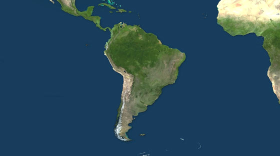
When I try to slide the South American continent right above, the North American continent and the South American continent do not overlap.
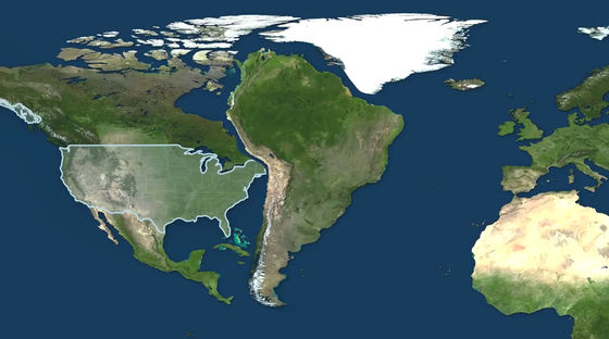
Then, looking to the United States ... ...
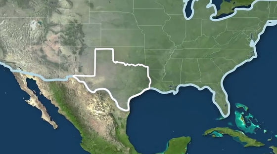
I will consider a city called Darhart located northwest of Texas .
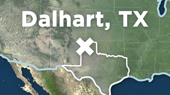
Darhart is 485 miles (about 780 km) away from Austin , the state capital of the state of Texas.
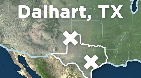
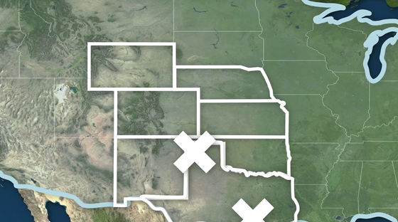
Actually, the distance from Dalhart to the capital of the six provinces of New Mexico , Oklahoma , Colorado , Kansas , Nebraska , Wyoming State is closer than the distance from Darhart to Austin.
Texas is a state with a very large area, the linear distance from El Paso City at the western end of the state to the eastern end of Texas ... ...
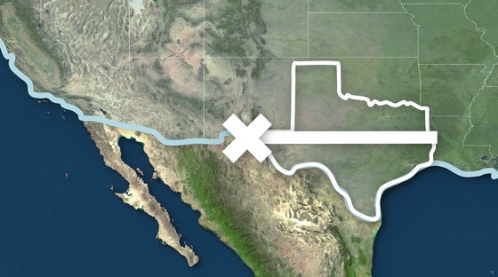
It is said that it exceeds the distance from El Paso to California's largest city Los Angeles .
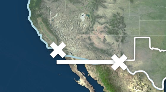
In other words, El Paso is closer to Los Angeles than to the other side of the same Texas state.
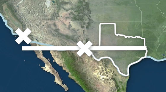
By the way, Los Angeles is a city located on the west coast of the United States, which is often thought to be the westmost in the USA ......
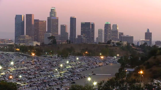
As a matter of fact, it is east of Reno , a commercial city in Nevada situated inland.
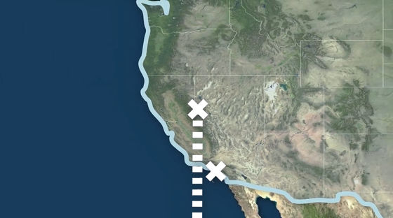
And surprisingly, Austin in Texas ... ...
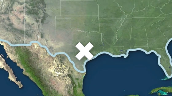
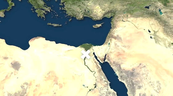
Almost the same latitude as Egyptian capital Cairo (30 degrees north latitude). It seems to be rather hot in Cairo, but it does not change very much in terms of latitude.
Also, New York ...
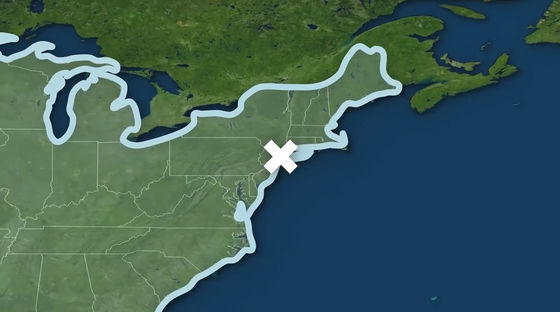
Almost the same latitude as Spain's Madrid (latitude 40 degrees N).
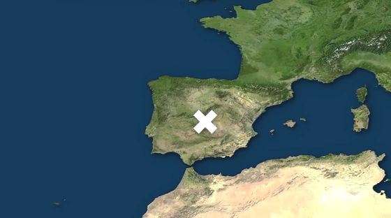
Minneapolis, Minnesota ... ...
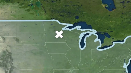
It is about the same latitude (45 degrees north latitude) as Venice of Italy.

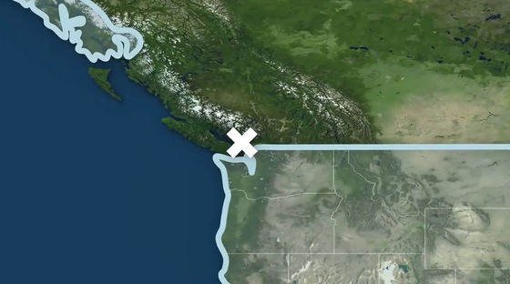
It is said that Vancouver , Canada, is about the same latitude as national latitude (49 degrees north latitude).
Calgary is about the same latitude (51 ° N) as London in the UK.
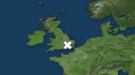
Compared with the continent of Europe, the North American continent has considerably lower average temperatures even in cities of the same latitude, so it will be confusing to list European cities of the same latitude.
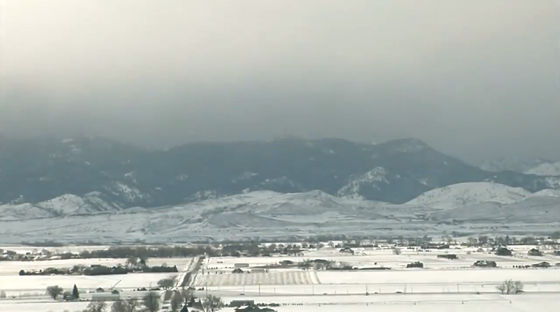
The Detroit city of Michigan in the United States is in contact with Canada across the Detroit River ... ...
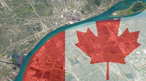
The eastern direction is also in contact with Canada across Lake St. Clair .
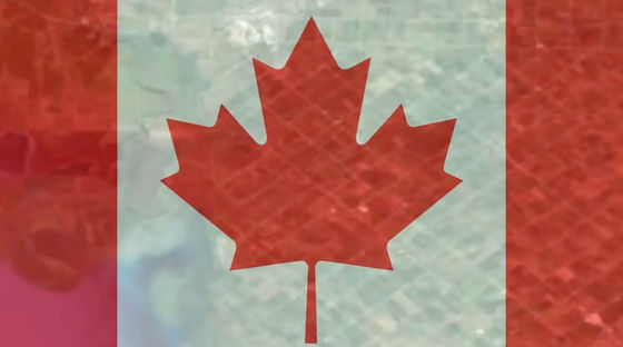
And the north side of the city is also surrounded by Canada.
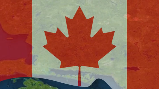
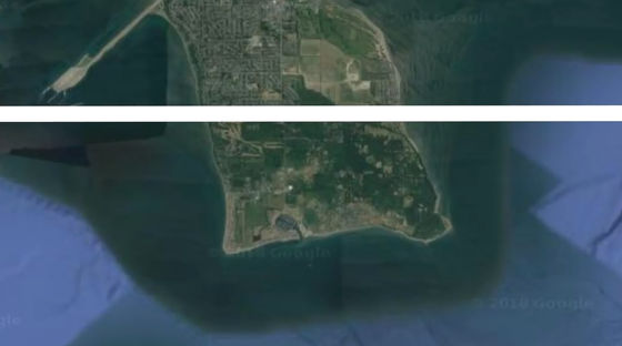
Among the parts that protrudes a bit from Vancouver, the south from the north latitude line is American territory. It is an enclave of the state of Washington under the name Point Roberts .
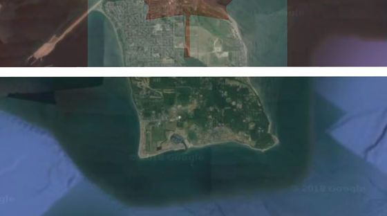
Before going to the nearest American land from Point Roberts, I have to go through Canada 25 miles (about 40 km) ......
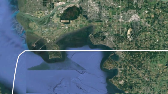
There is only one elementary school for the population of 1,300 people, it is only until the fourth grade. After that it was necessary to take the bus for 40 minutes and go to the United States.
Finally, there is a date line between Alaska and Russia ... ...
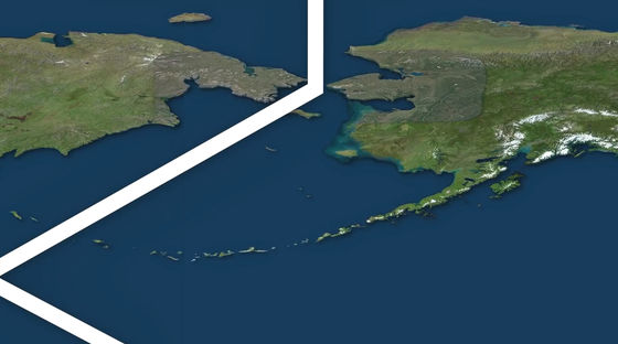
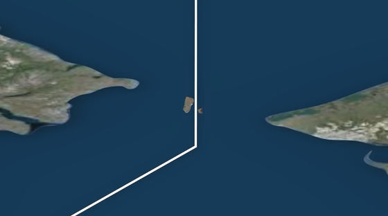
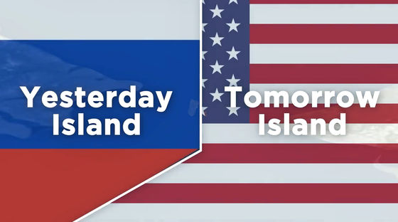
That line just breaks down two islands belonging to the Diomede Islands .
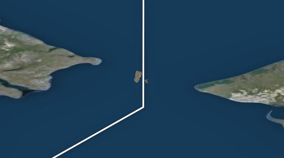
The Russian territory is Ratmanov Island , and the American territory is Little Dia Meade Island .
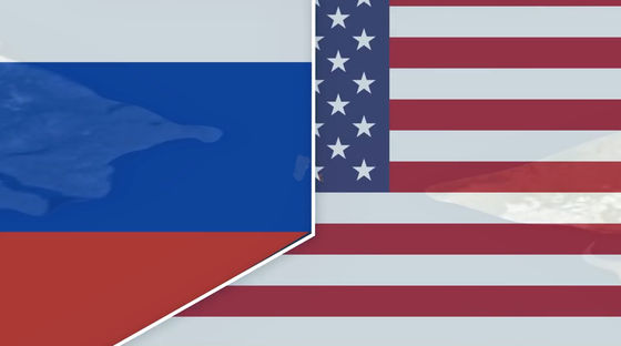
The two islands are only 2 miles away (about 3.2 km) apart, but because the date line is across the way ......
There is a time difference of 21 hours, the time is late for Ratumanov Island 21 hours more than Little Demeadard Island. Therefore, Ratmanov island is called "Yesterday Island", Little Da Mead Island is called "Tomorrow Island" (tomorrow island).
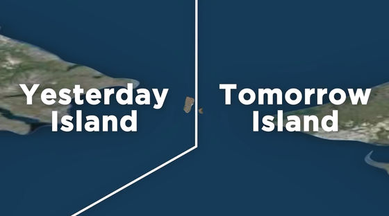
Actually, the sea flowing between the two islands freezes during the winter, so there are days when Ratmanov Island and Little Dieded Island can walk back and forth. I am surprised that you can walk back and forth between America and Russia, but unfortunately it is illegal to walk and walk around the two islands.
Related Posts:
in Video, Posted by log1h_ik


