I tried driving on the ``Sarufutsu Village Road Esanuka Line'', a straight road with a total length of 16 km where you can feel the horizon
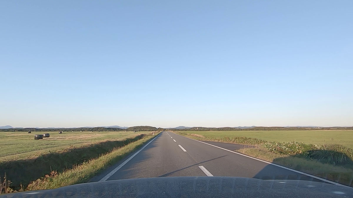
There are roads all over Hokkaido that seem to go on forever without being blocked. One of these is the ``Esanuka Line,'' a village road in Sarufutsu Village located in the northern part of Hokkaido's Soya region.It is 16 km long, and although there are two cranks along the way, it does not obstruct the view and maximizes the horizon. Since it is a road that can be driven on, I actually set up an in-vehicle camera and took a picture of the view ahead.
Sarufutsu Village Road Esanuka Line | Sarufutsu Village Tourism Association
The following is a movie where you enter the Hama-Sarufutsu village from National Route 238 and continue along the Hama-Sarufutsu Esanuka Line.
I ran the Sarufutsu Village Road Hama-Sarufutsu Esanuka Line, a straight road that lasts about 16 km. Looking southeast from Hama-Sarufutsu Village - YouTube
The route looks like this. Even if you look at Google Maps, you can clearly see that it is a straight road. To the northwest is the Hama-Sarufutsu village of Sarufutsu Village. Spreading out to the southeast is the Esanuka Primeval Flower Garden.
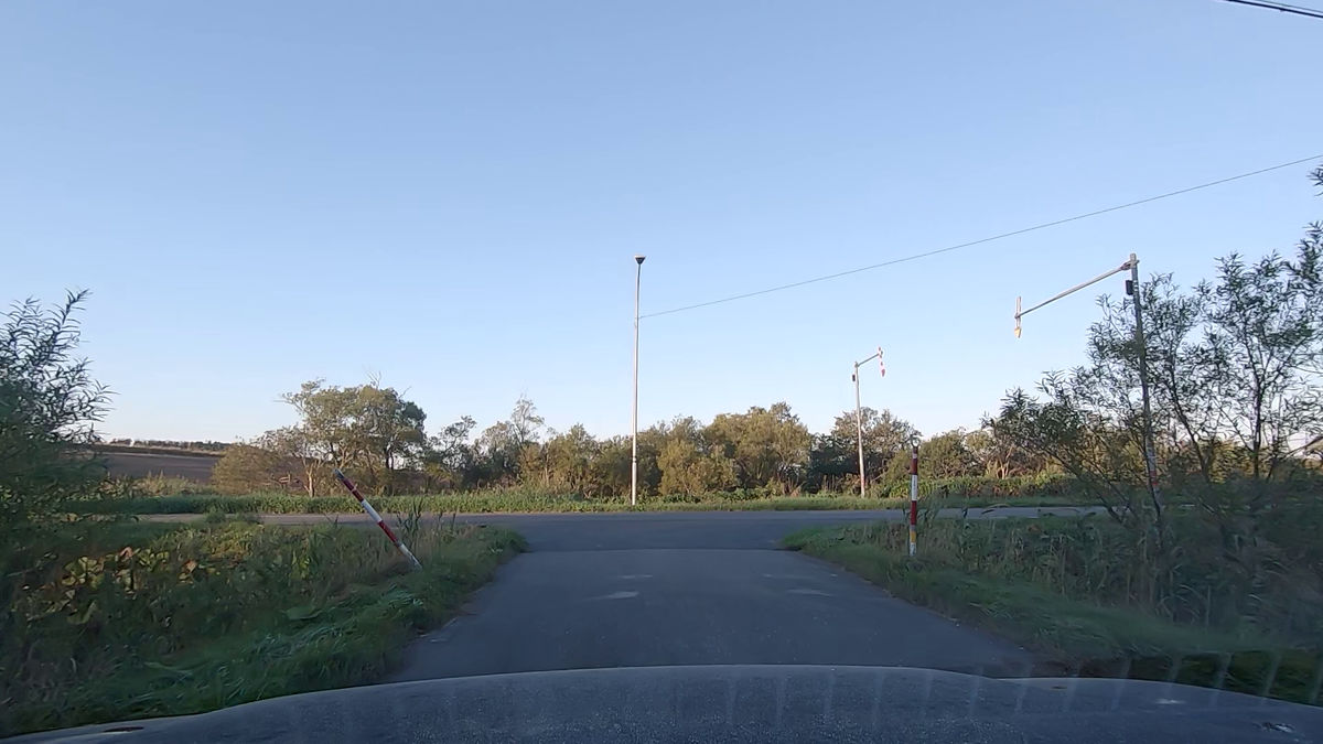
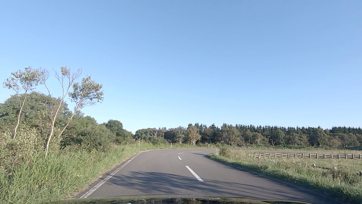
Head south on National Route 238 and cross the Sarufutsu River at Fujimi Bridge.

After crossing, the village of Hama Sarufutsu is on the left.
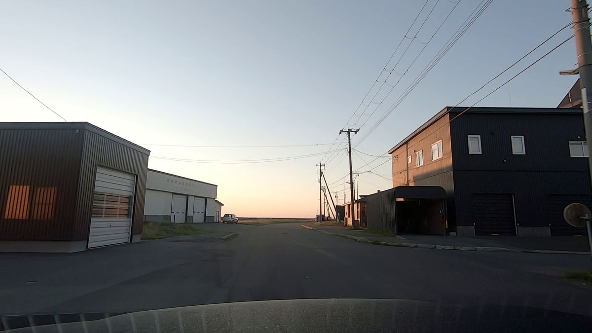
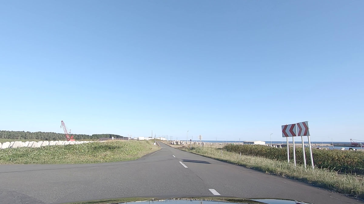
There is a fishing port on the south side of the village.
When you pass through the fishing port...

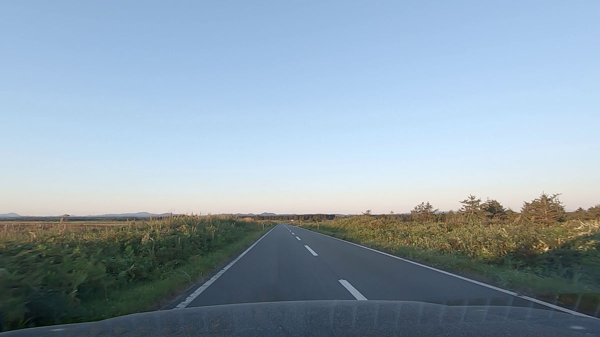
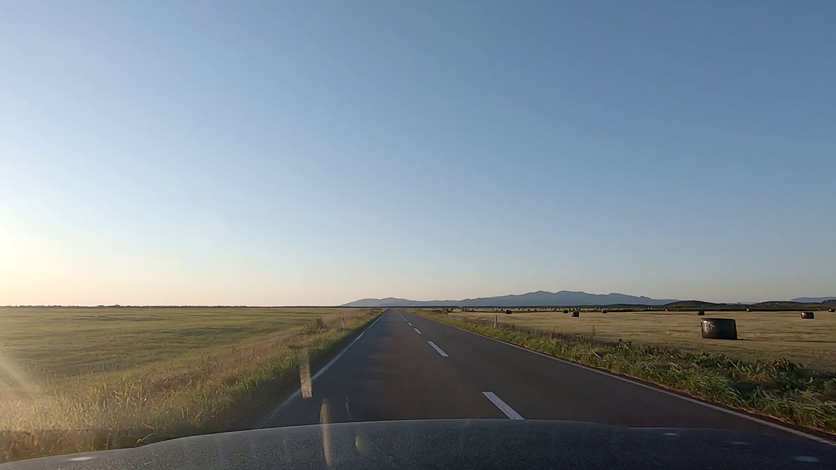
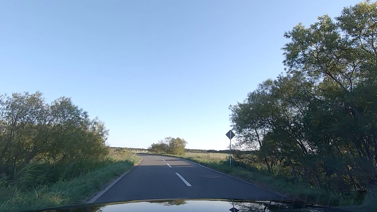
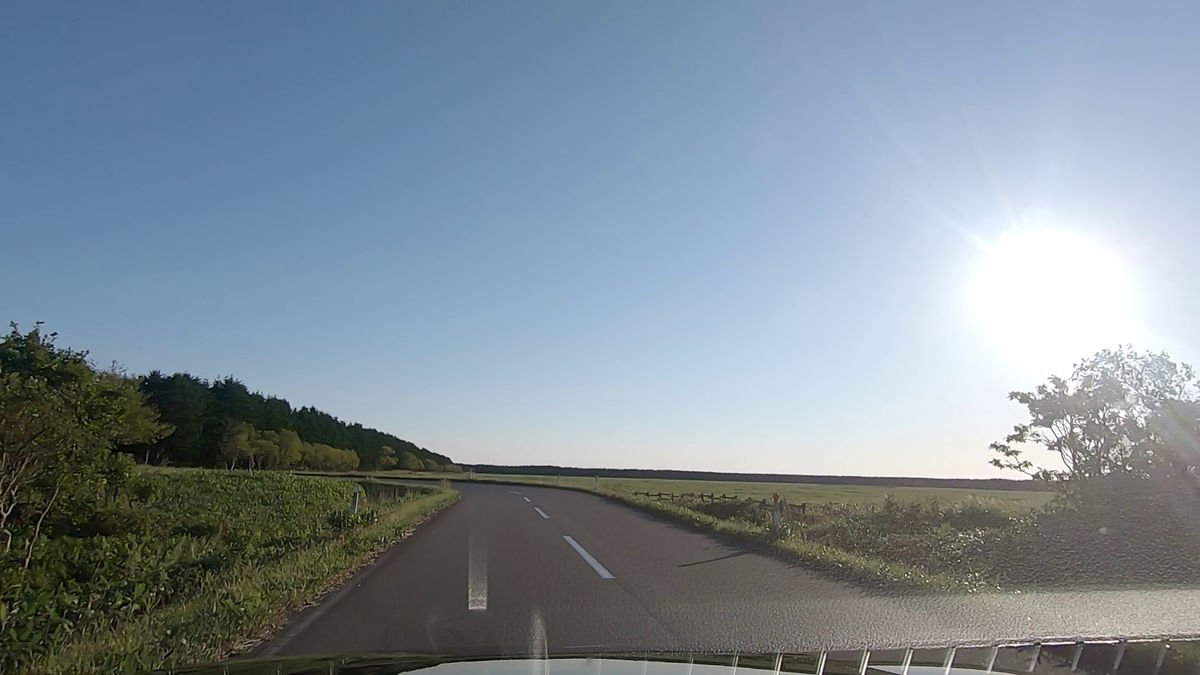
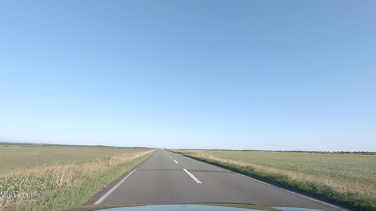
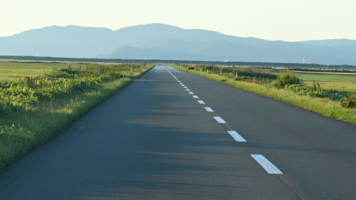
After that, you will be running through the wilderness.
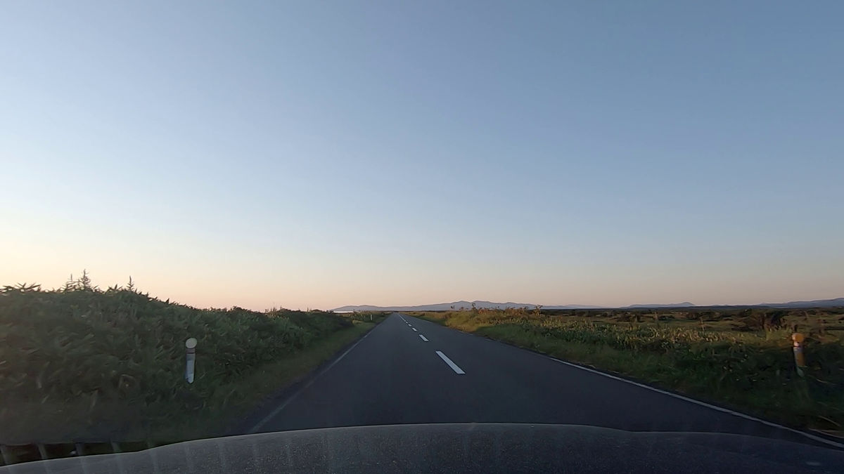
Although there may or may not be trees depending on the location, there are no guardrails or telephone poles on the side of the road, and the road continues straight in front of you, with a vast field on either side.
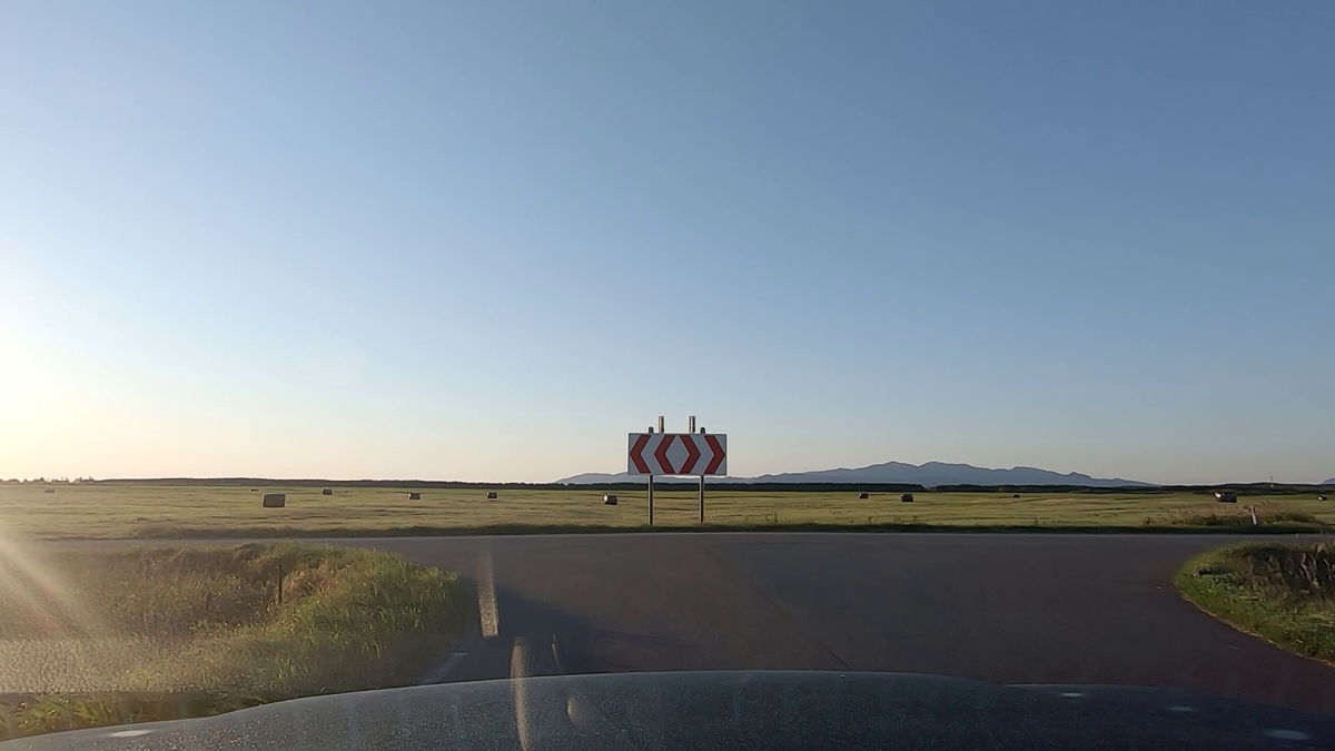
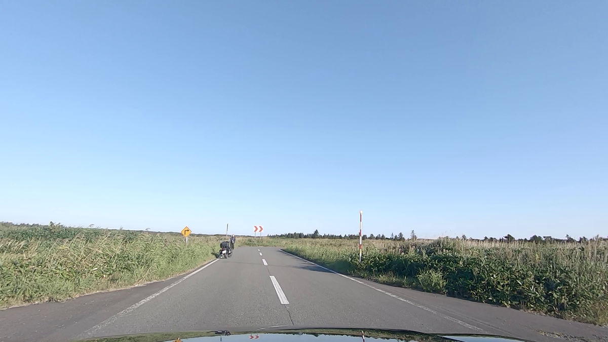
Turn right at the first crank.
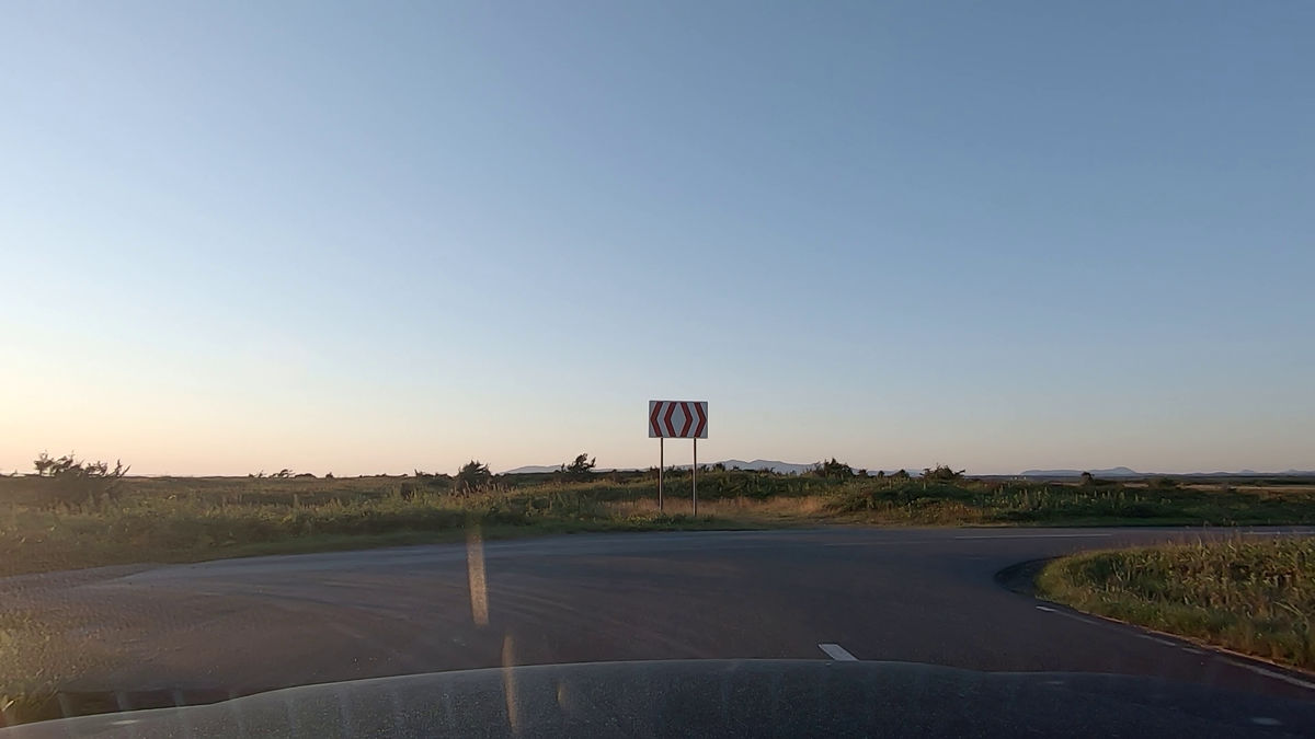
Even though I say 'crank', it is not a short thing like you see at driving schools, but it is in units of several hundred meters.
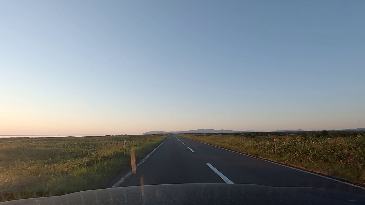
The next corner is not a branch, but an L-shaped curve. Then it will be the longest straight line.
There is a roll of grass lying on the right side.
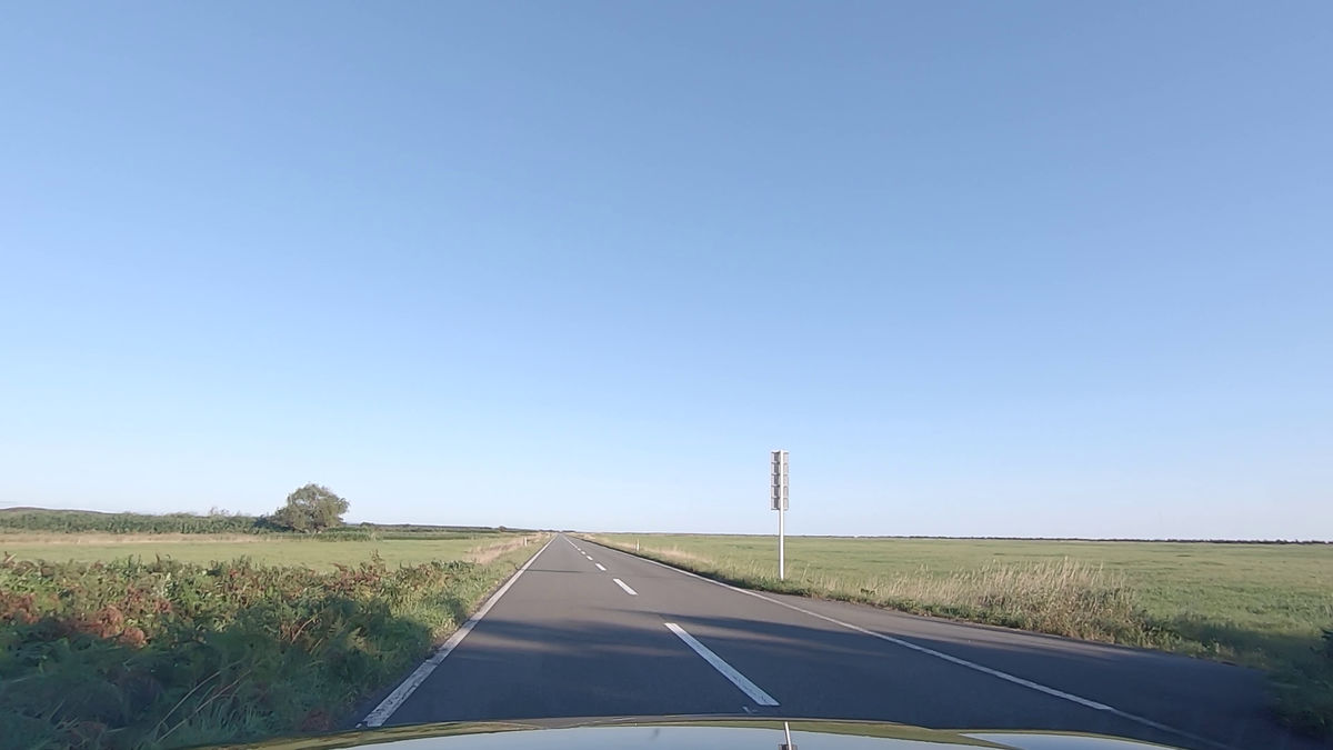
Just keep running straight...
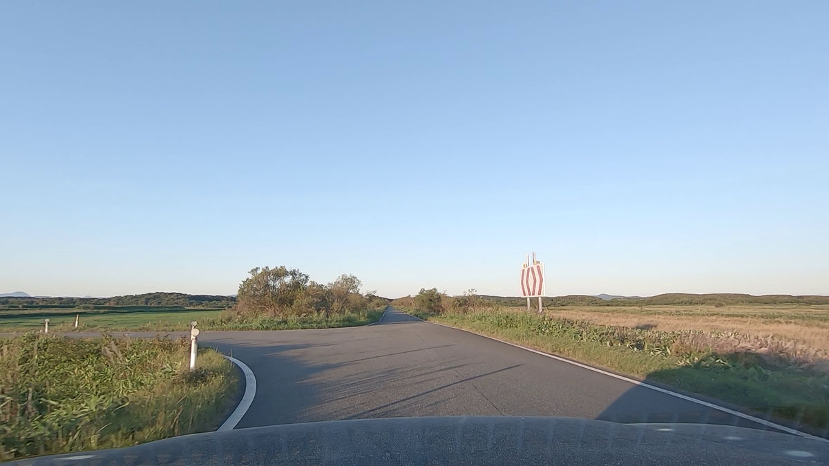
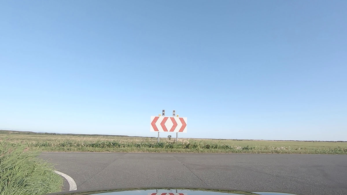
We finally reached the T-junction. Turn right at this.
If you turn here, there is a straight road that passes through the Asaya meadows, but since you have passed through the longest straight road, you will continue straight on here to get to the national highway.
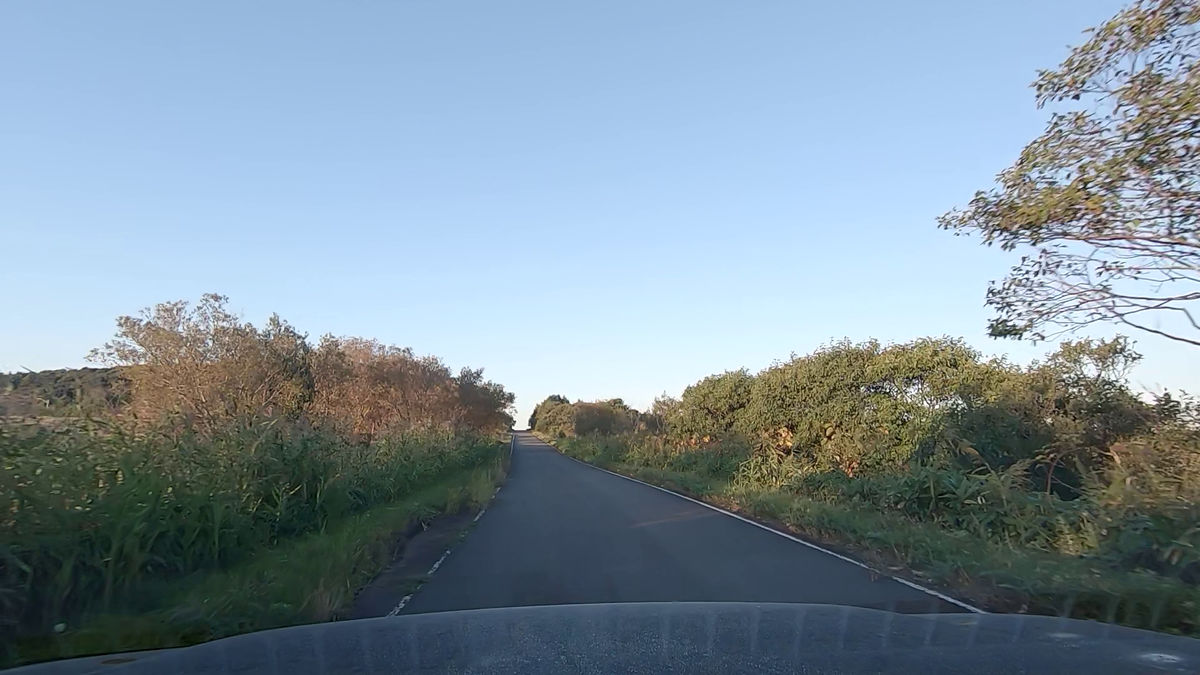
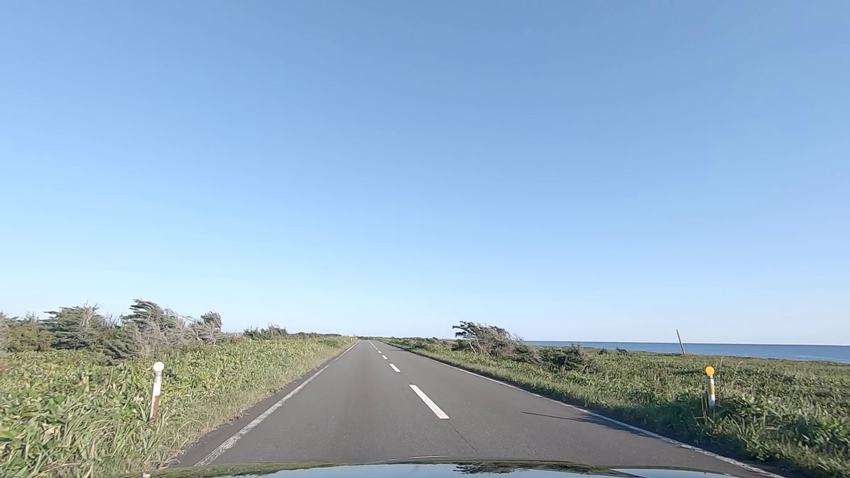
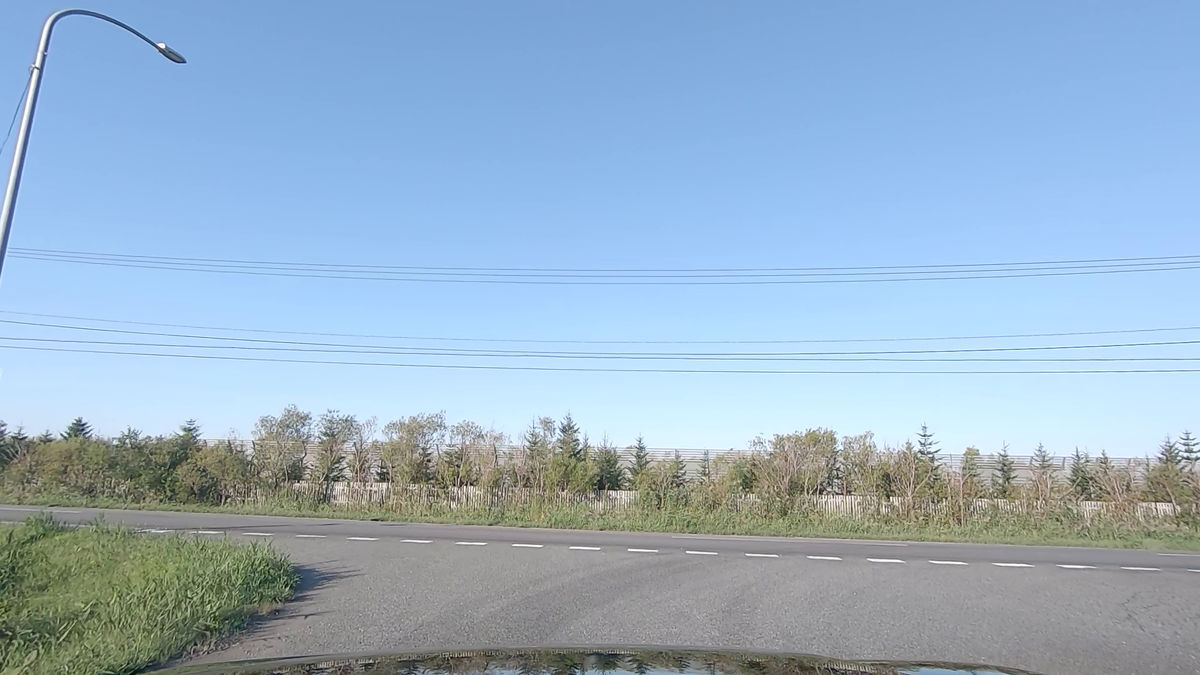
The scenery has changed dramatically and trees are now growing on both sides.
I returned to Route 238 again.
This time, we will run from the south side. The route looks like this, and it's a little longer than before.
As you head south on National Route 238, you will see a sign for ``Esanuka Line Entrance'' on your left hand side in the direction of travel.
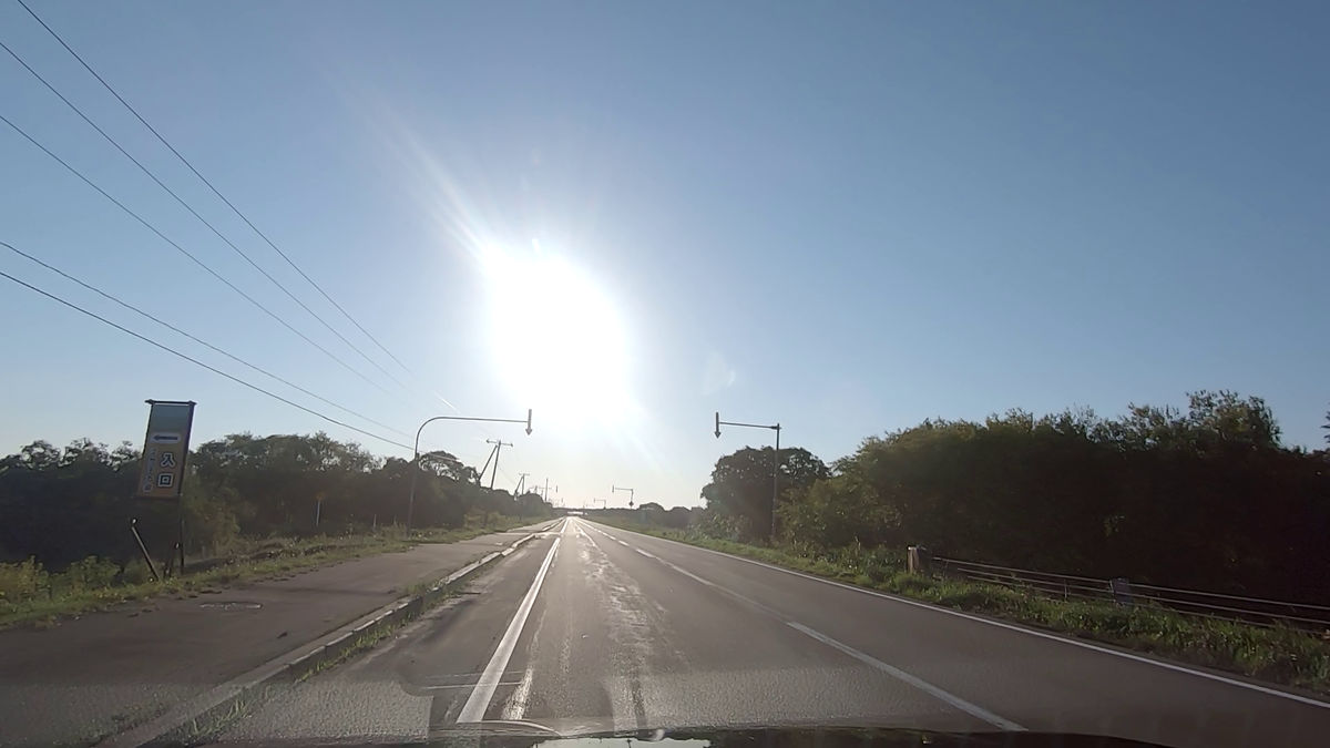
Follow this to enter the Esanuka Line.
To be honest, the scenery you see won't change much.
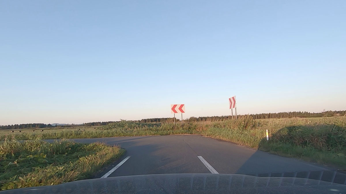
The first L-shaped curve.
Just when I thought I could see the meadow, there was another L-shaped curve.
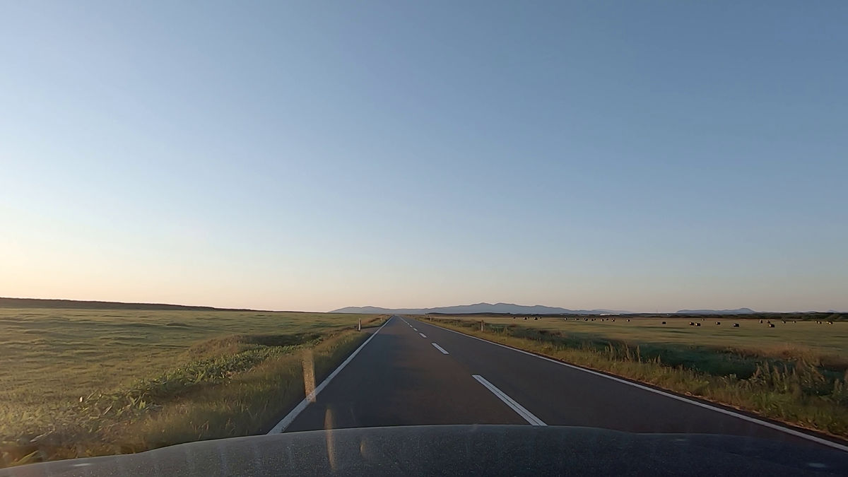
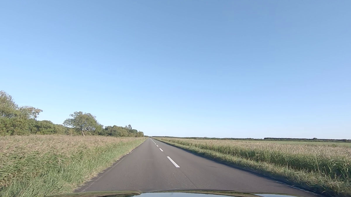
A landscape where you can clearly see the horizon.
Grass rolls soaking up the sun.
When you see an oncoming car in the distance, it takes a long time for you to notice it and pass it.
I saw someone stop their bike at the end of the straight and take a photo.
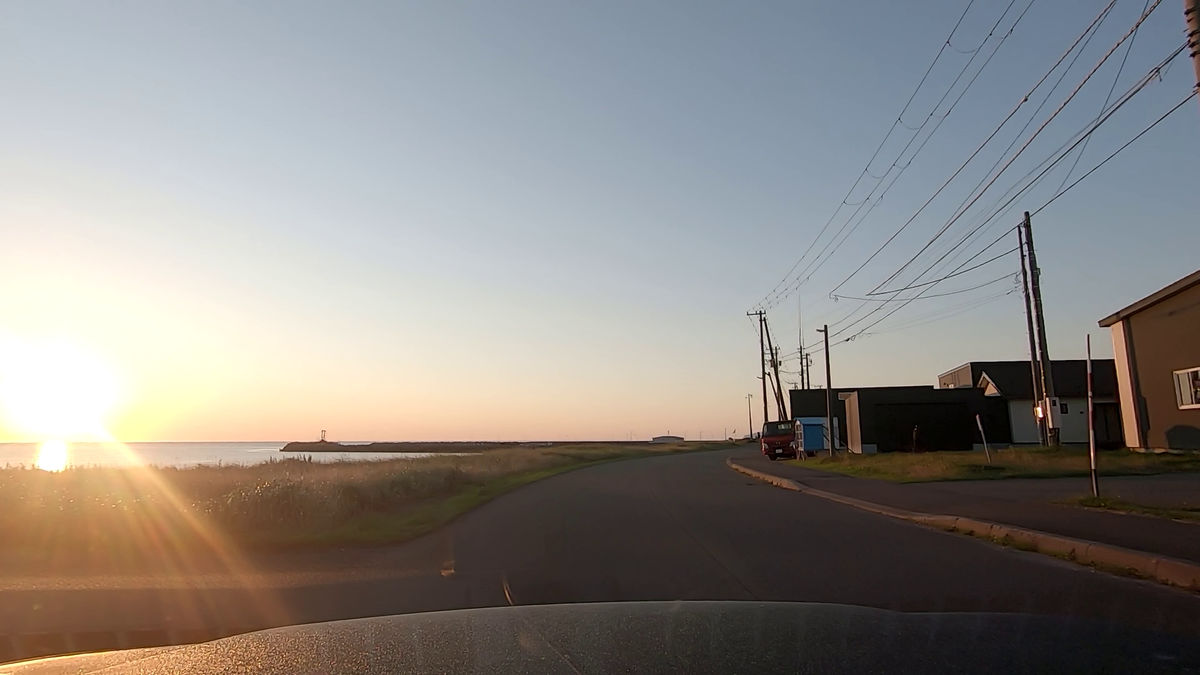
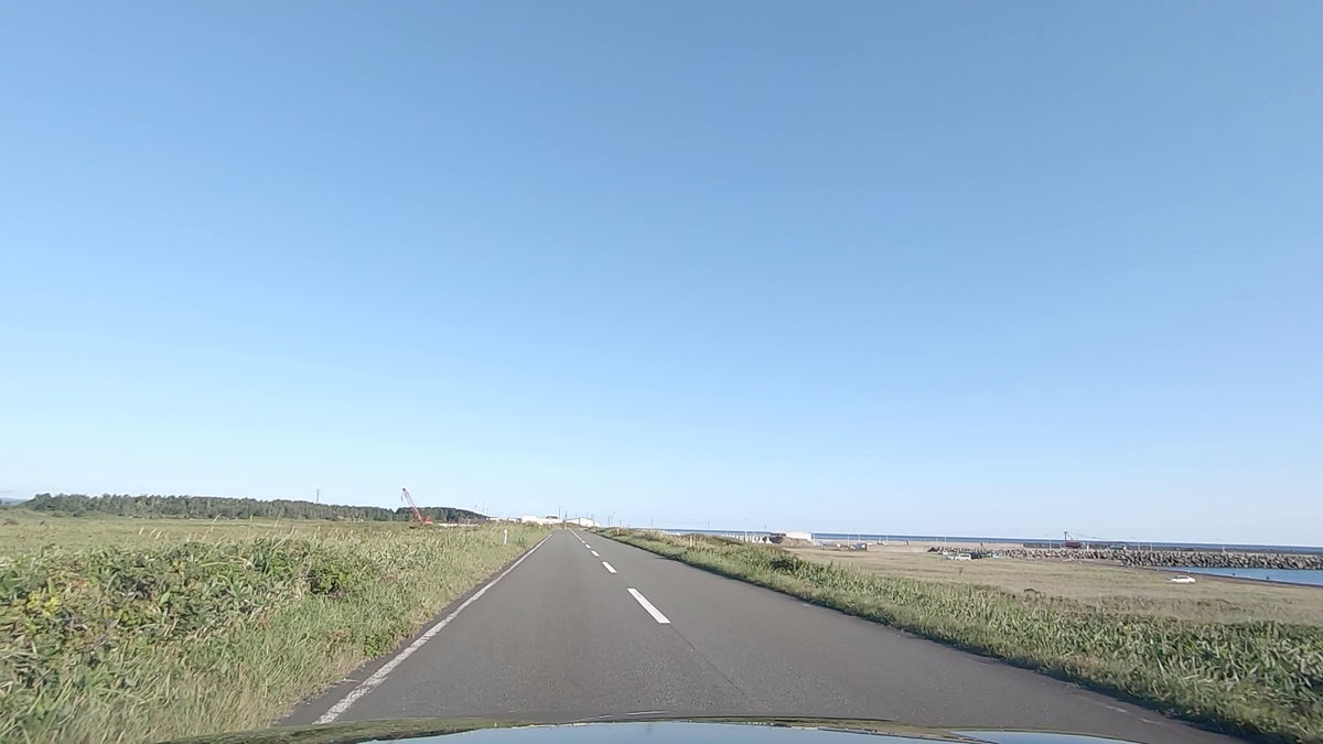
The road eventually leads to the coast.
The breakwater of the fishing port came into view.
'Turn left on National Route 238' sign.
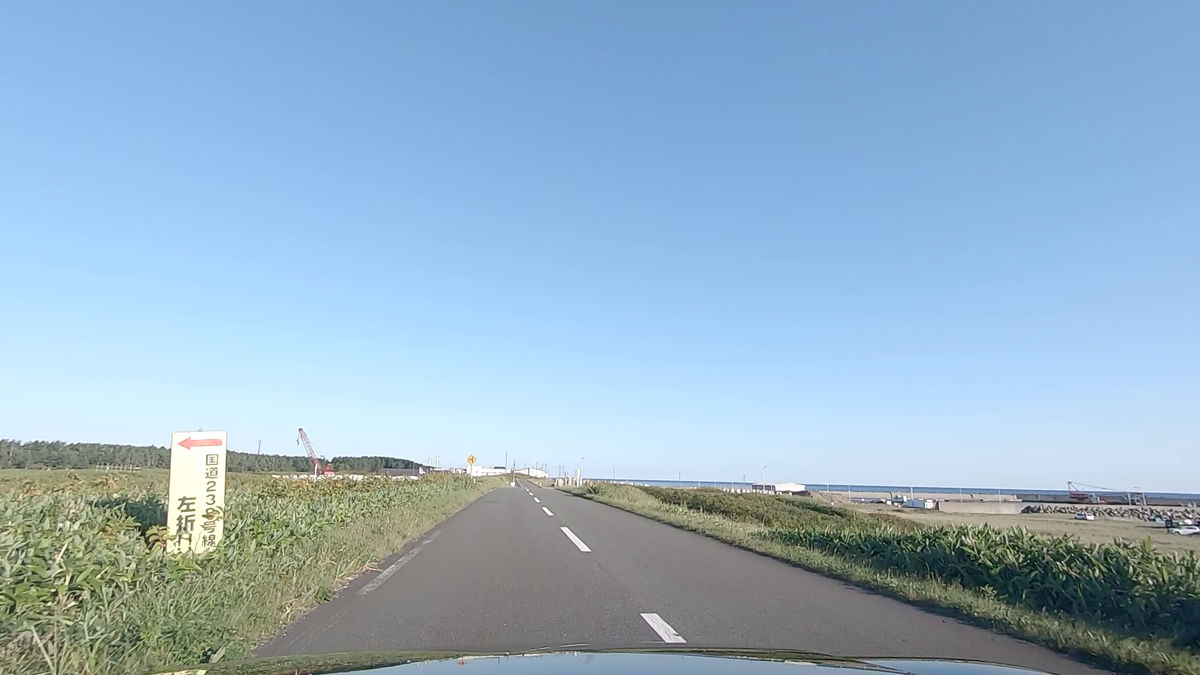
The instructions told us to turn left before the village. I will follow this this time.
I was able to return to National Route 238 without passing through the village.
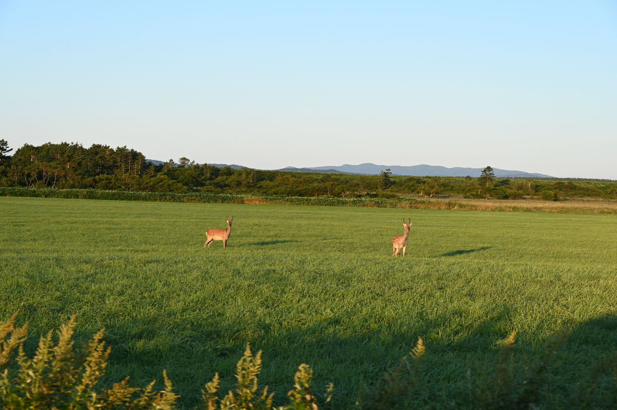
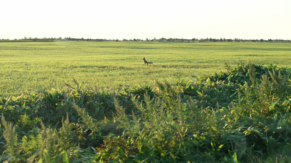
In fact, it's not like you can only see the wilderness, but there are deer in the meadows like this.
A small shadow running along the path.
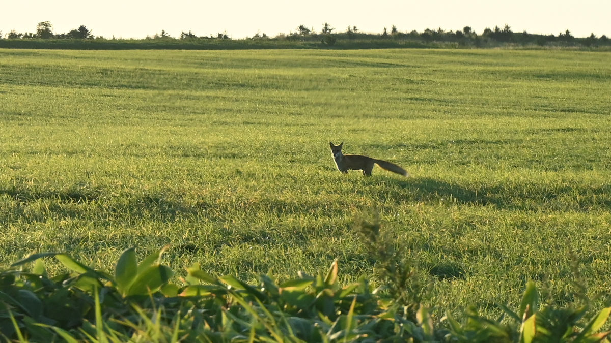
It was a fox.
Check here carefully.
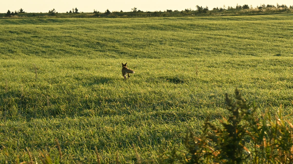
And then it ran off somewhere far away.
Related Posts: