In order to get closer to Ecuador's highest peak "Chimborazo" I ran cycling to a higher elevation than Mt. Fuji
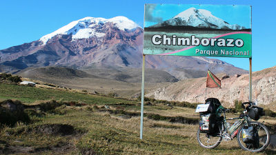
A cold place right under the equator, beyond altitude 4000 mChimborazoI felt the universe at the foot of the. Because the earth is rotating in an elliptical shape, the summit of Chimborazo close to the equator is said to be the most distant from the center of the earth. As I admired the altitude of 4000 m which has never been reached, I have been aiming for Ecuador's highest peak by bicycle.
Hello,Takuya Sudo @ circle around the world bicycle @ Charridermanis. I did not intend to do so at all,Friend's charriderI am determined to be inspired by. While I was out of breath, I came up.
◆ Andean Mountains
After leaving Cali in the southern part of Colombia, Colombian Andes mountains rage. A series of hill climb and downhill.
· June 13th 600 m → 1500 m → 900 m → 2000 m
· June 14 th 2000 m → 2900 m → 2500 m → 3150 m → 2400 m
· June 15 2400 m → 1800 m → 2900 m
I was running at such an altitude difference.
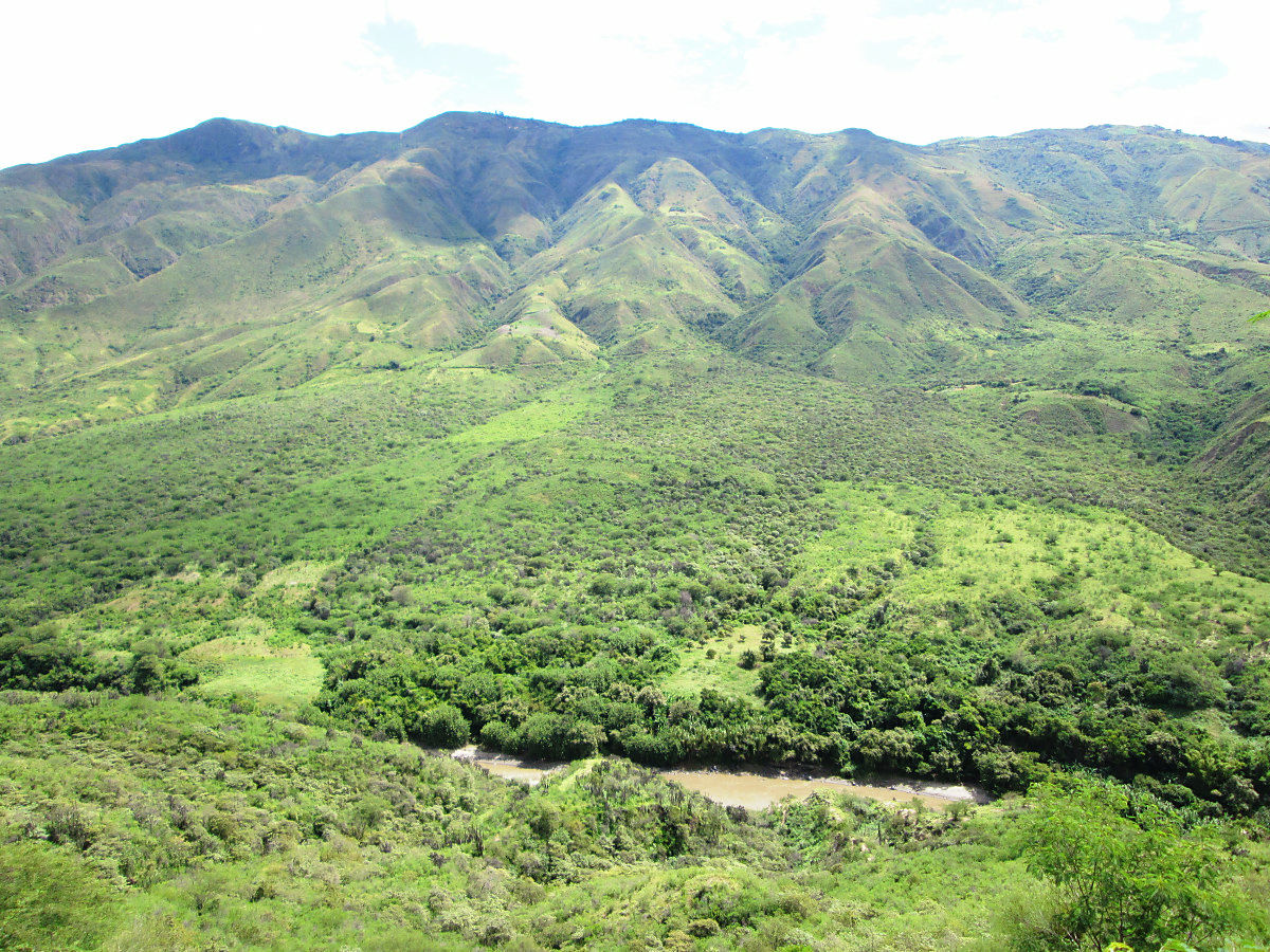
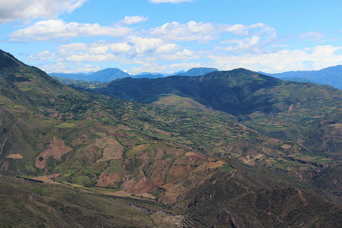
Next to Colombia, I entered Ecuador. This is also a tough mountain path, and every time I go to the next town I cross the ridge. Usually I would like to row 100 km a day, but the Andean gave up because it is only mountains. Every day I surely carry out distances of 50 km or 60 km. It is hard to keep going uphill, but it is not bad, as spectacular views spread as much as you climb.
Unspoiled green
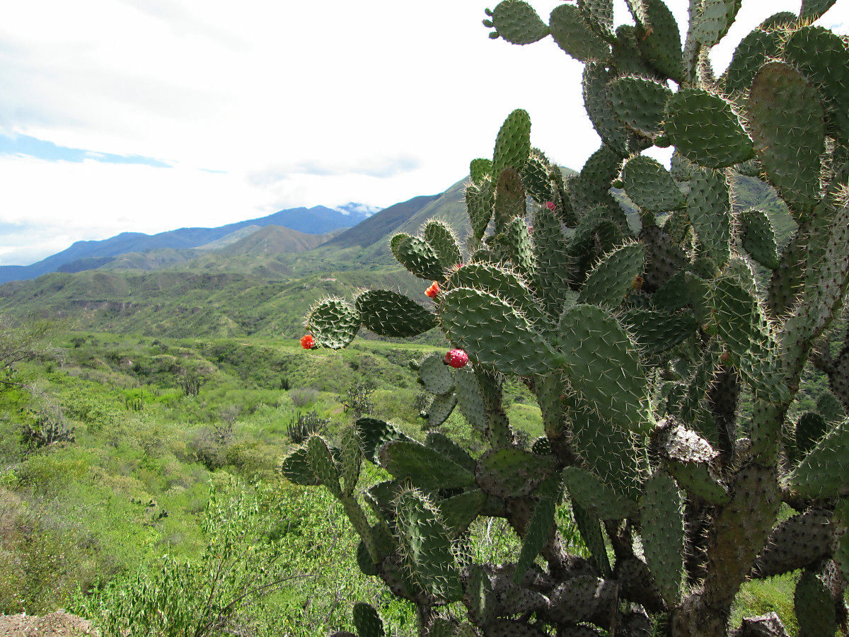
Cactus
I will run through a deep mountain
A river flowing in the valley of the Andes
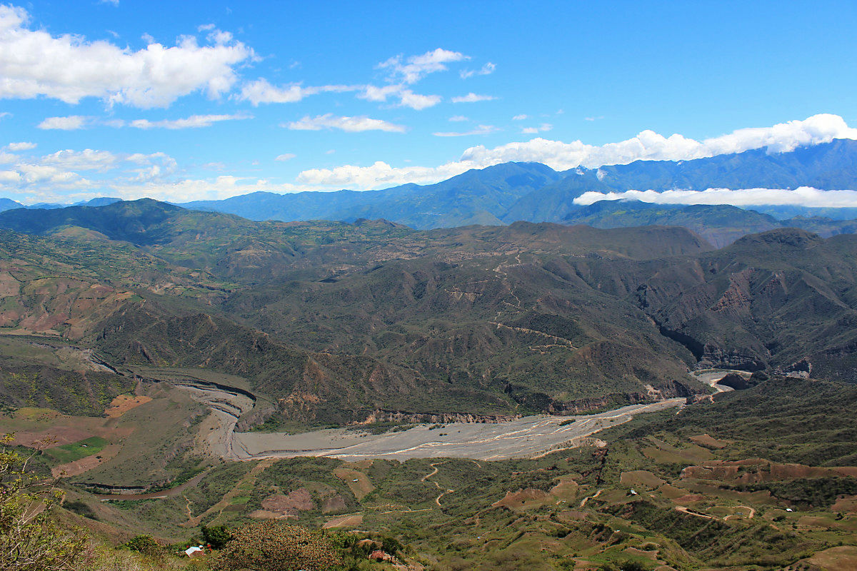
A world of great power
Run through the valley. I came up down the road on the lower left.
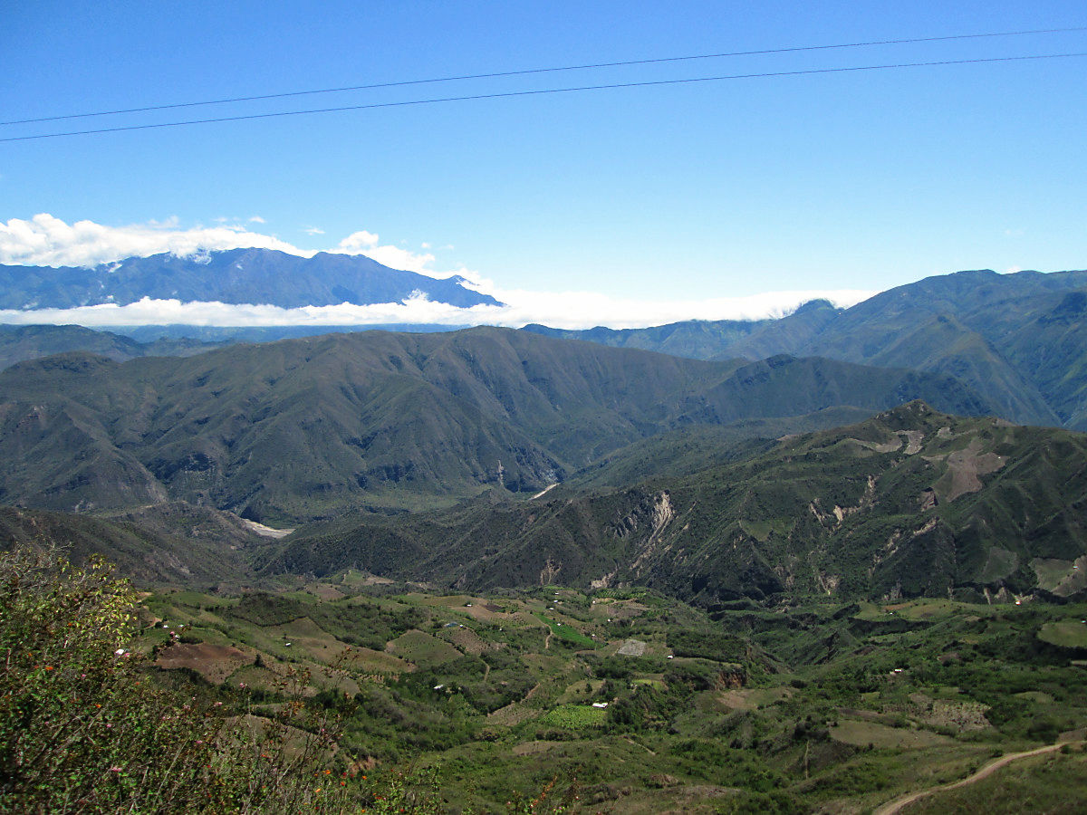
Rugged mountains

Enter Ecuador. Downhill was down to the town of the tower.
Northern Ecuador town of Ibarra
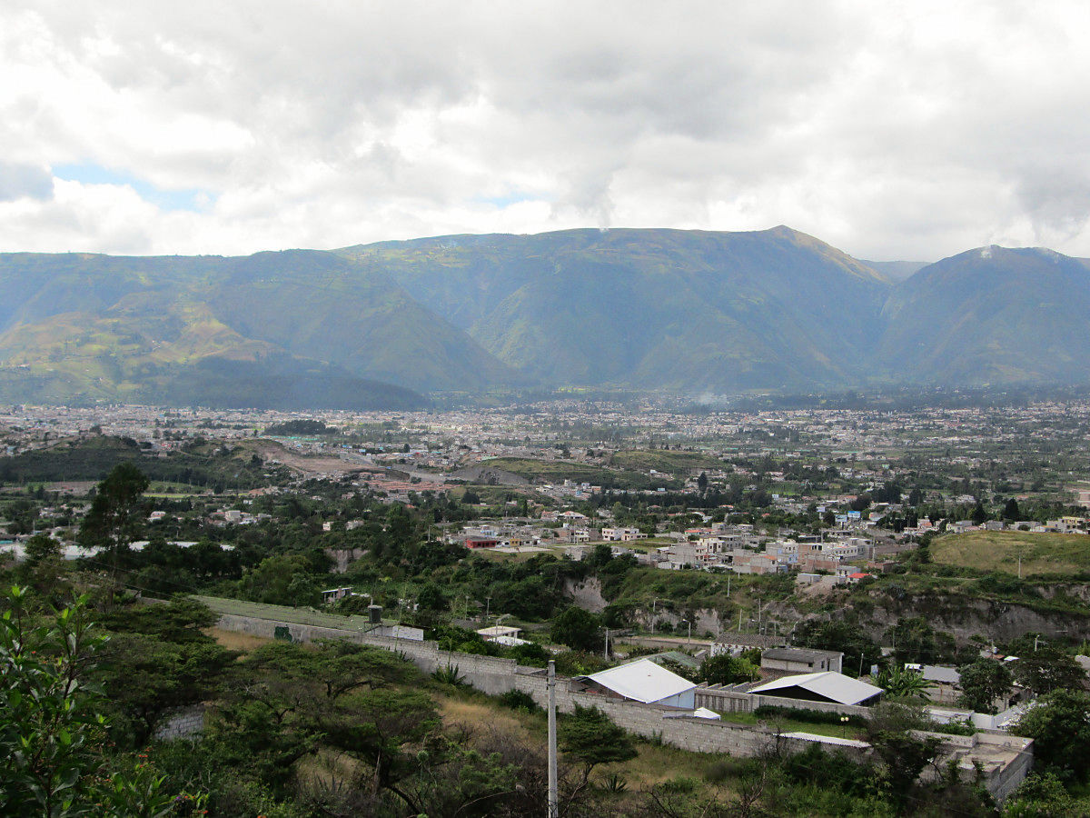
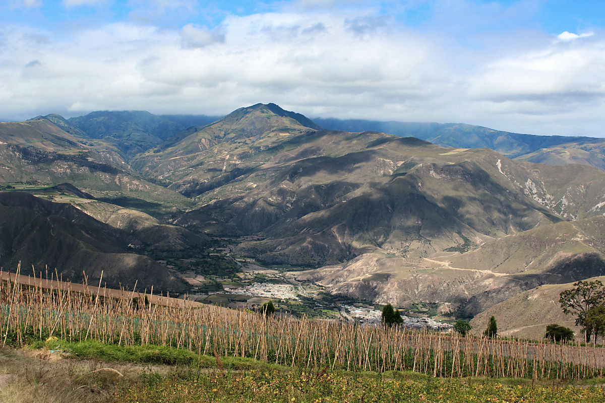
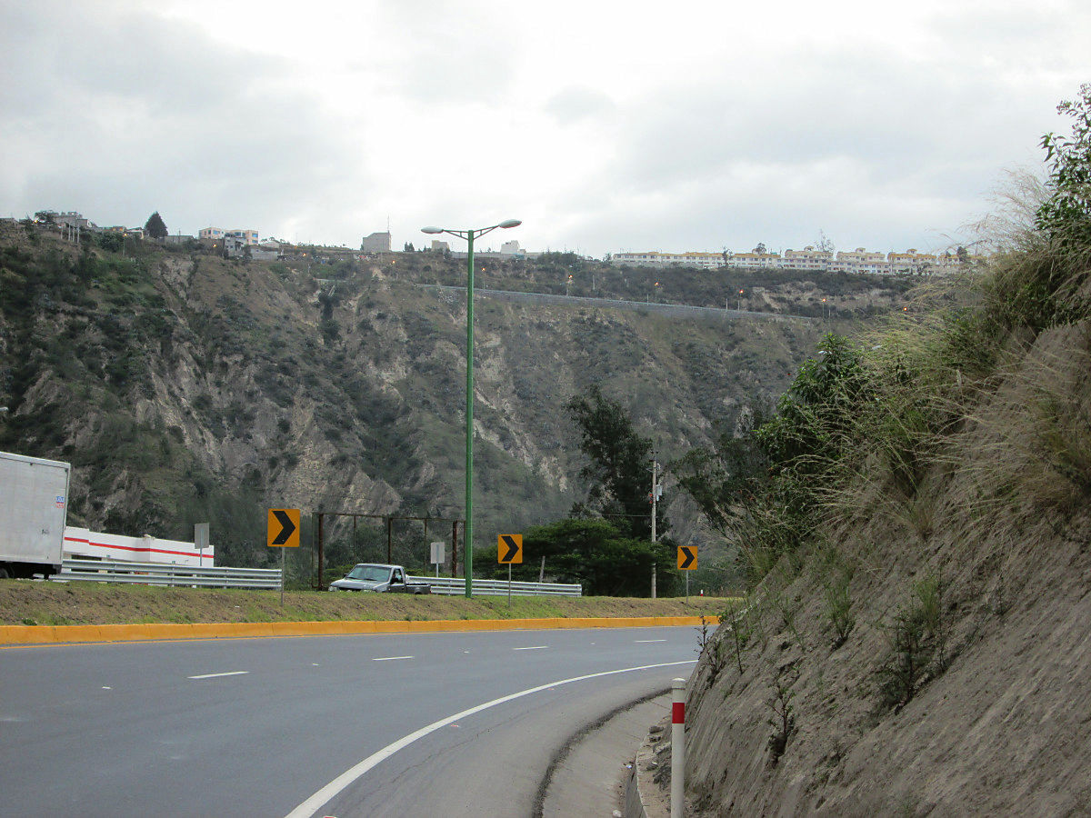
The way to the capital city Quito. I went down the river once, so I will climb up the valley again.
A wall that stood before Quito. I drew a large arc and went up.
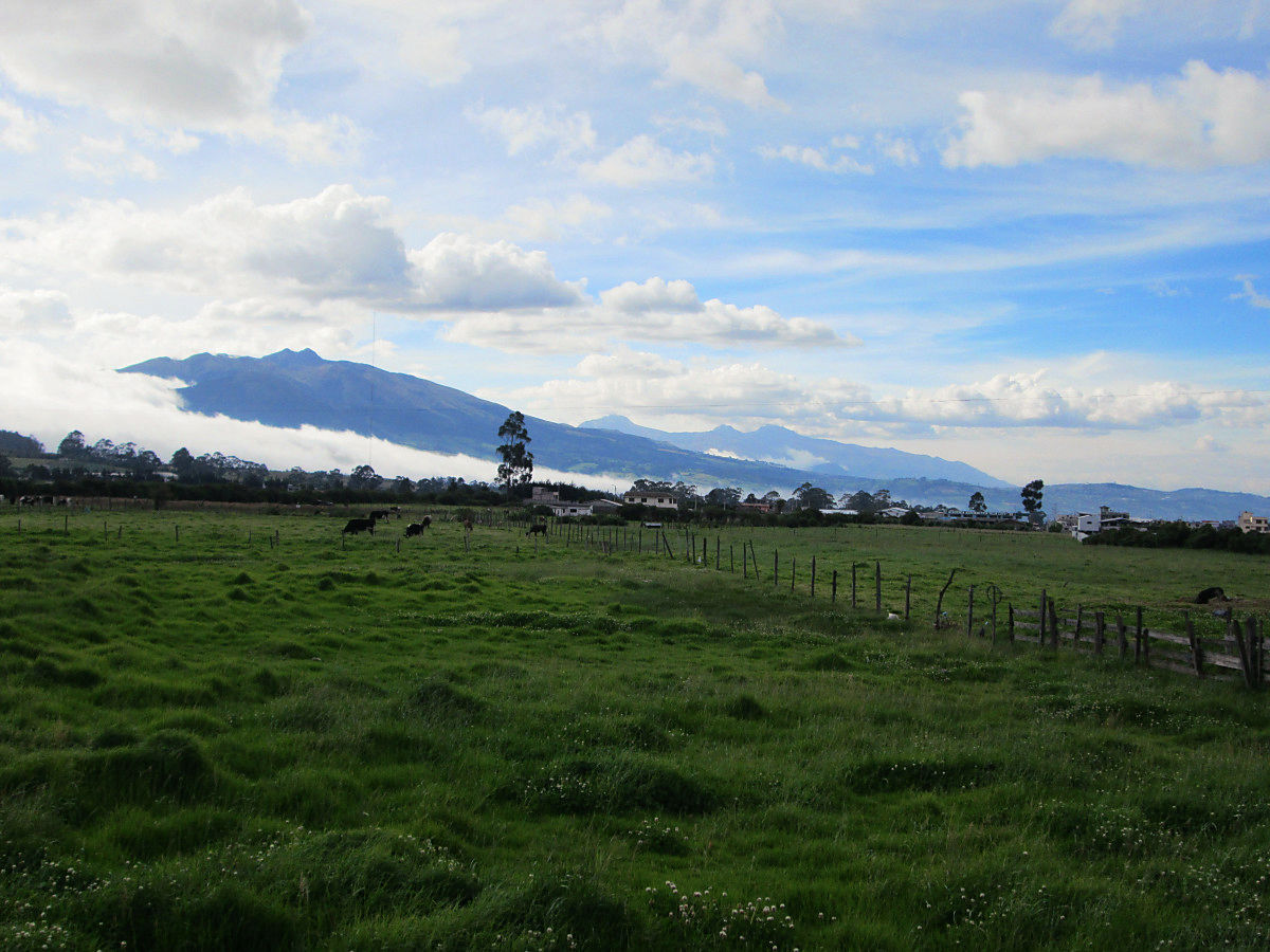
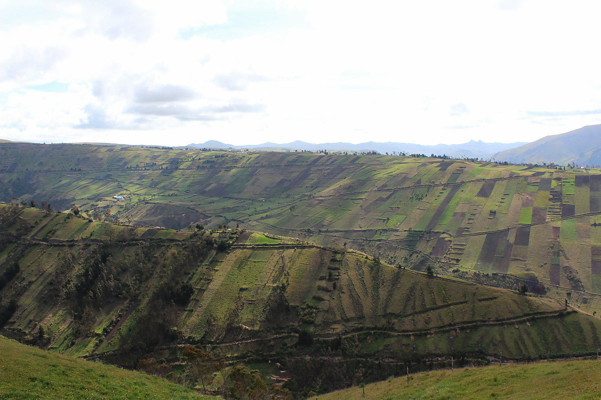
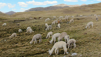
Cows of Ecuador that show the green of Andean
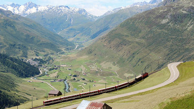
◆ Chimborazo
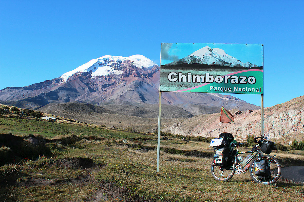
When traveling about 130 km south from Quito,Amberato (Ambato)I will arrive at. This was the starting point for chimborazo capture. We aim to the world with altitude of 2500 m to 4000 m. When going west on the road of E491 as I leave the town, I will go around the football of Chimborazo. When turning east at the branch starting point, it was the route that went down to Riobamba in Chimborazo Province and joined the main Pan American Hwy. Although I did not mean to do that, my heart will dance with hope if I decide to run. The world beyond altitude of 4000 m attracts itself.
Chimborazo seen on Google map
View Larger Map
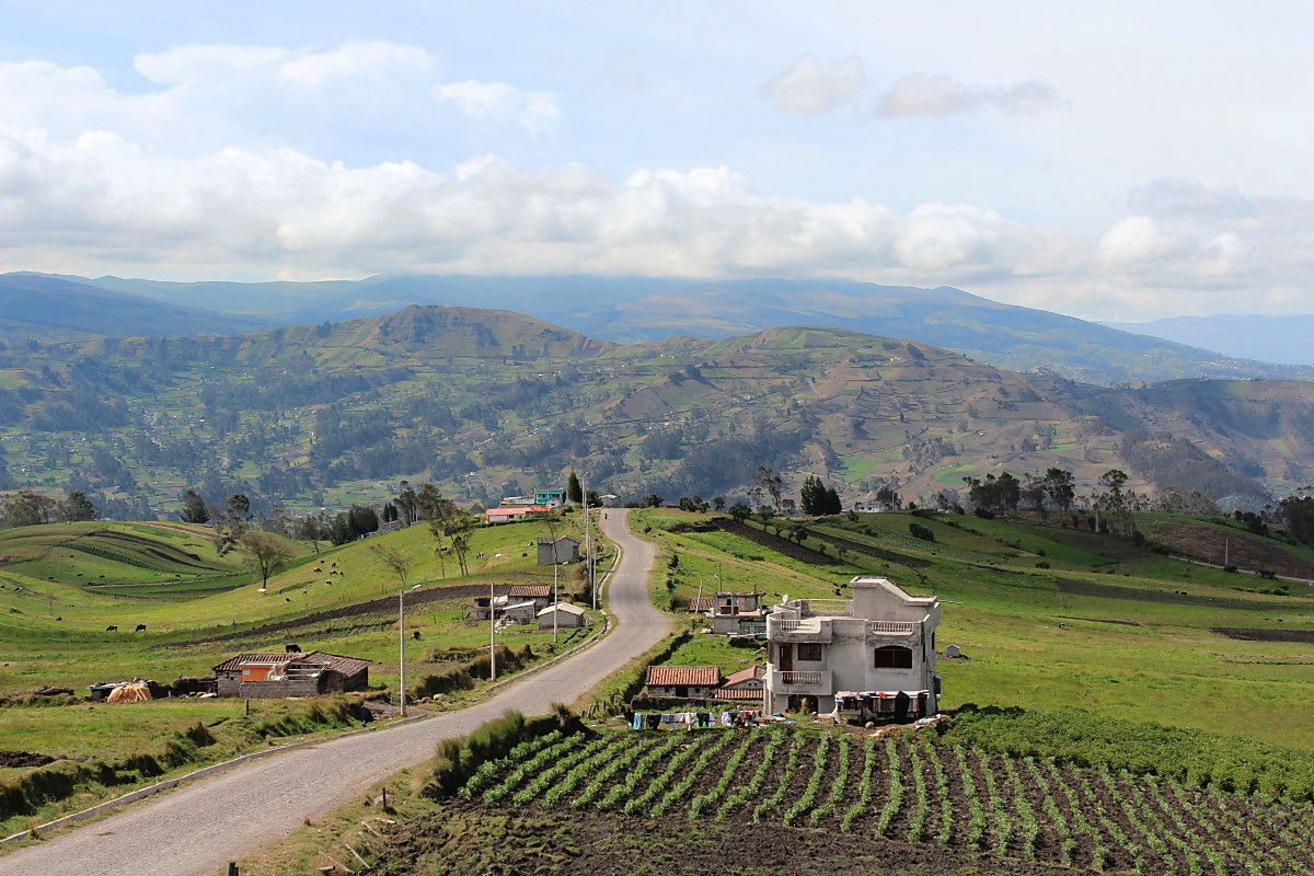
Escape the city of Ambert at an altitude of about 2,500 m

Uphill in the suburbs

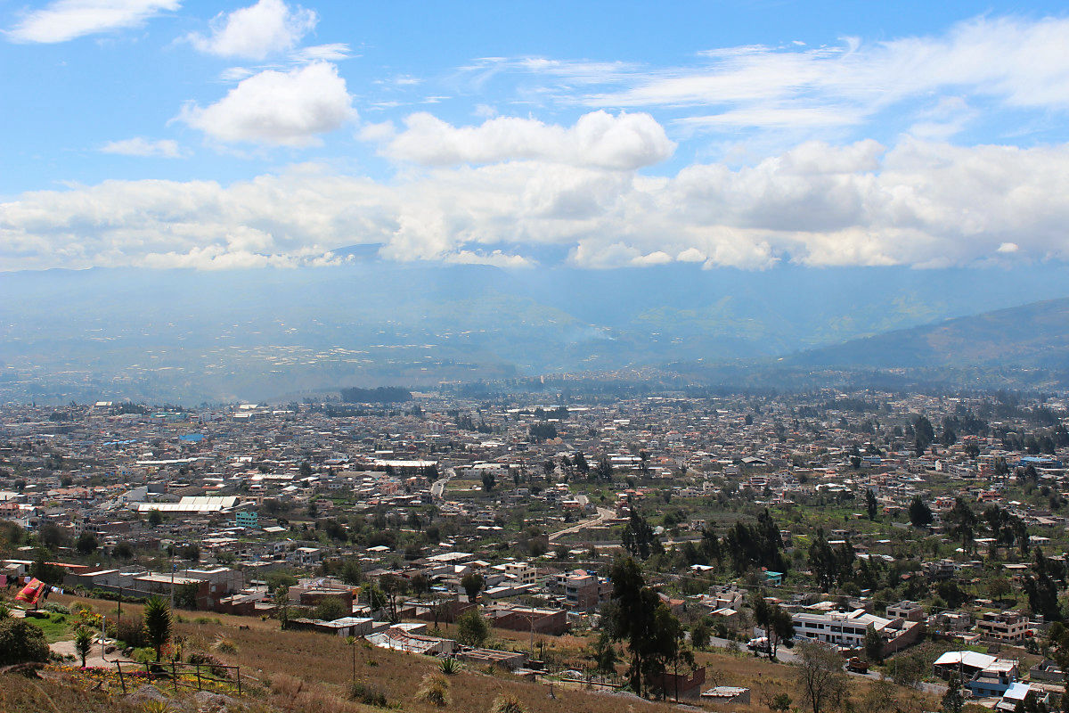
Looking up a lot and overlooking the city center of Ambert
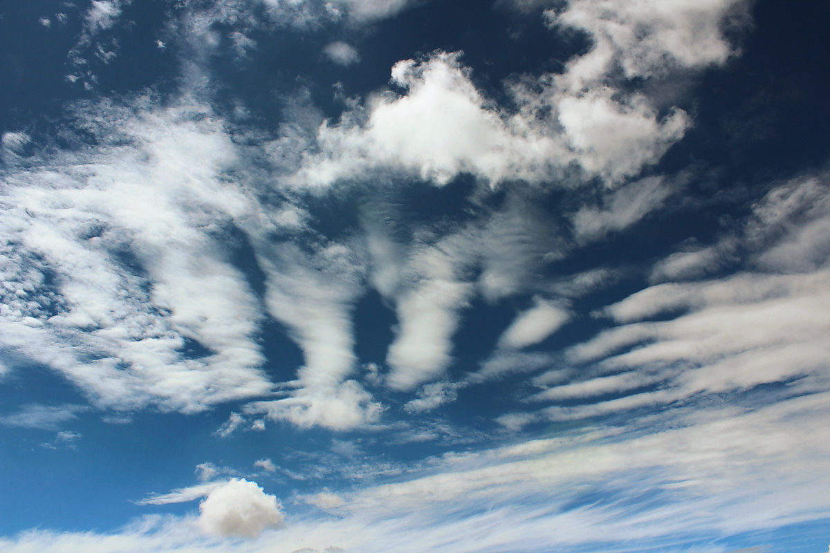
Sky at altitude 3000 m
I caught children under the school in a village on the way
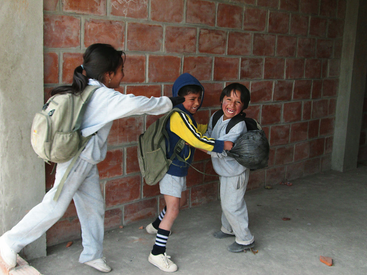
Even if the altitude exceeds 3000 m, people live normally. I am impressed by the children playing soccer in the school yard. ...... The other side would have wondered, "Why are you going through such a place with such a bicycle?"
The powerfulness of the Ecuadorans who pioneers the Andean
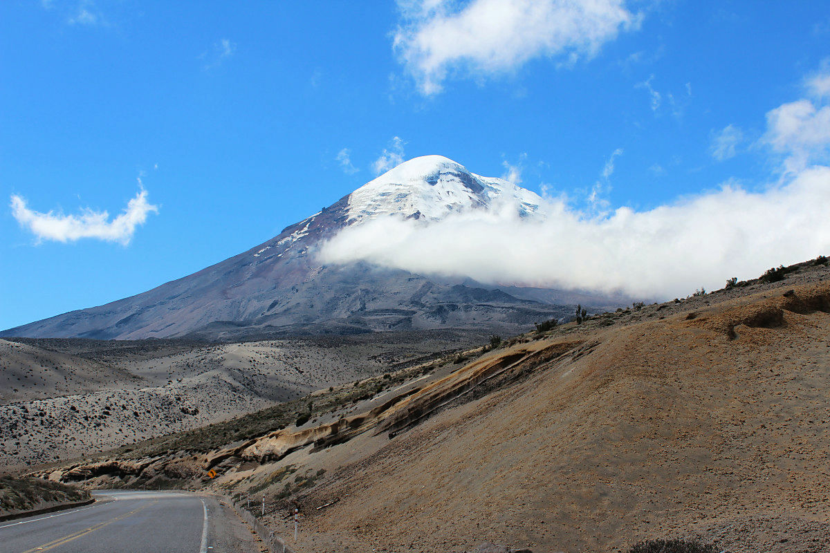
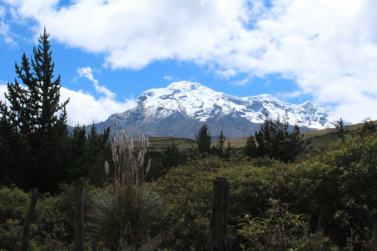
Finally I saw Chimborazo
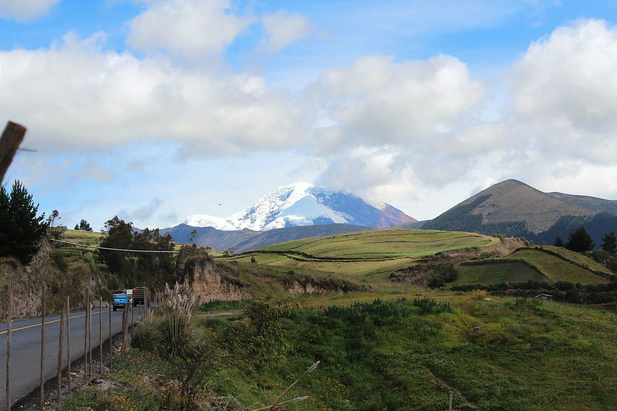
When coming near dusk, Timborazo has come near as much as I raised the altitude.
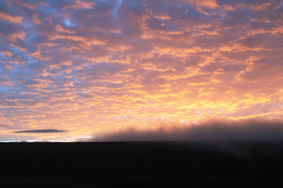
Sunset dyes Chimborazo red
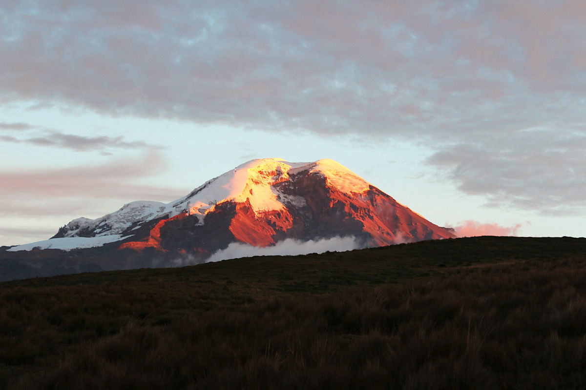
Sunset burning like 4000 m altitude
Early morning Chimborazo
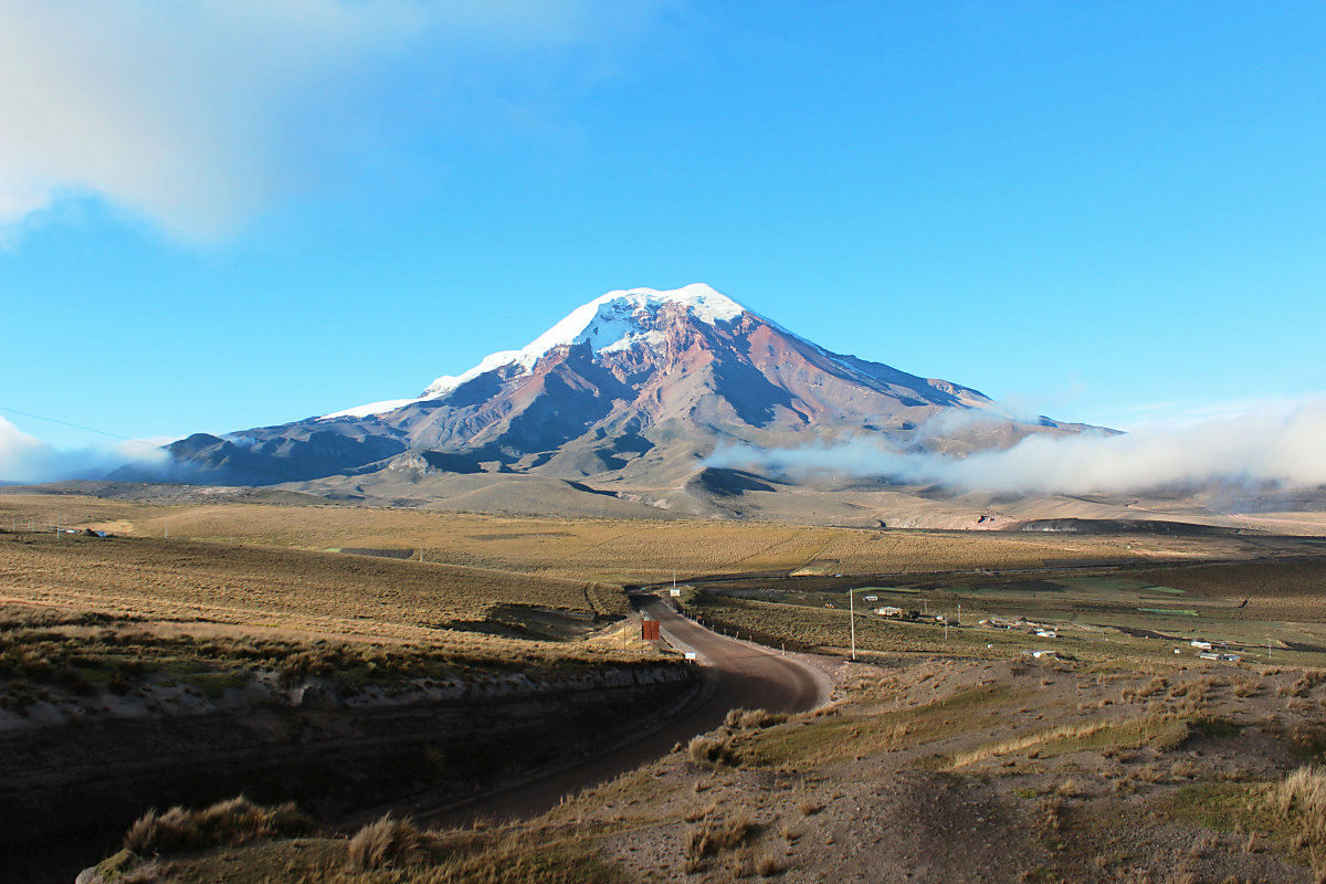
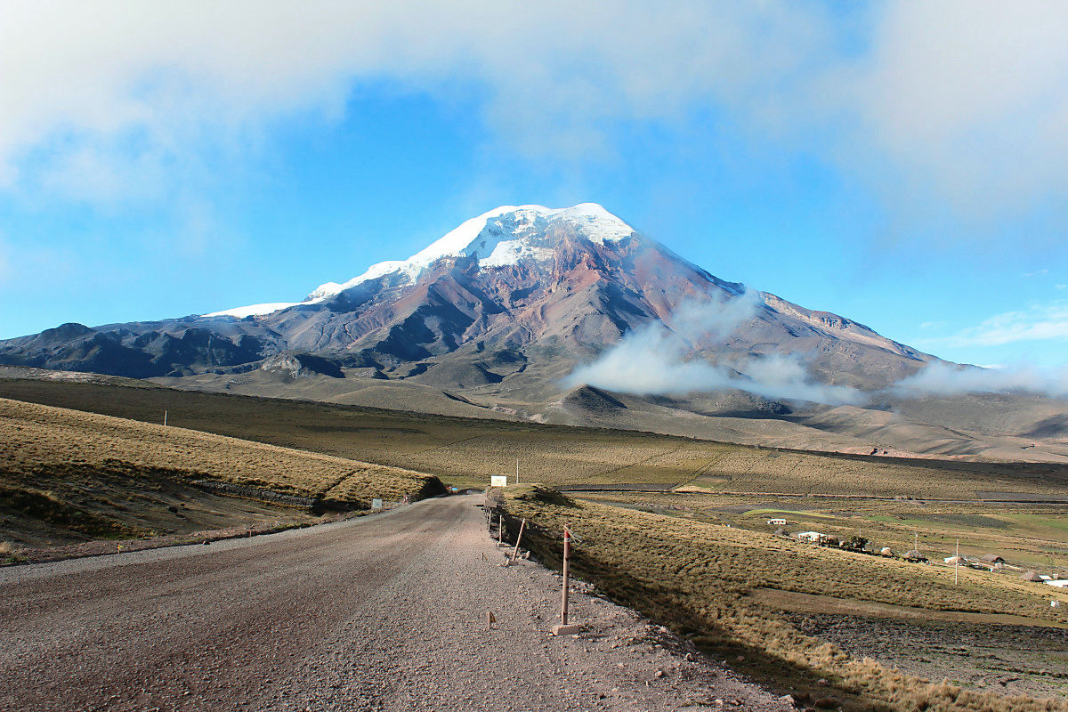
It was a beautiful mountain shape with a sigh. A mountaintop covered with pure white snow just beside the equator.
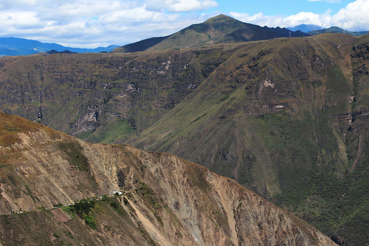
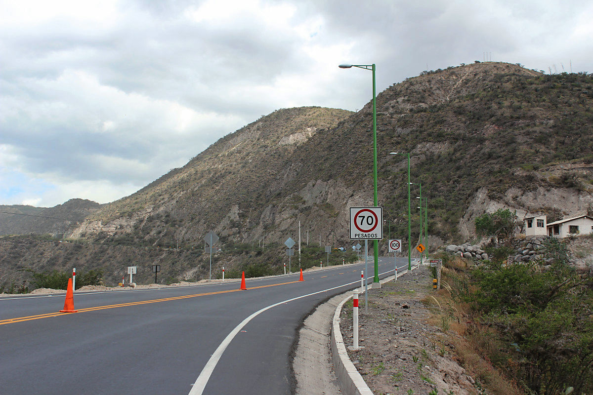
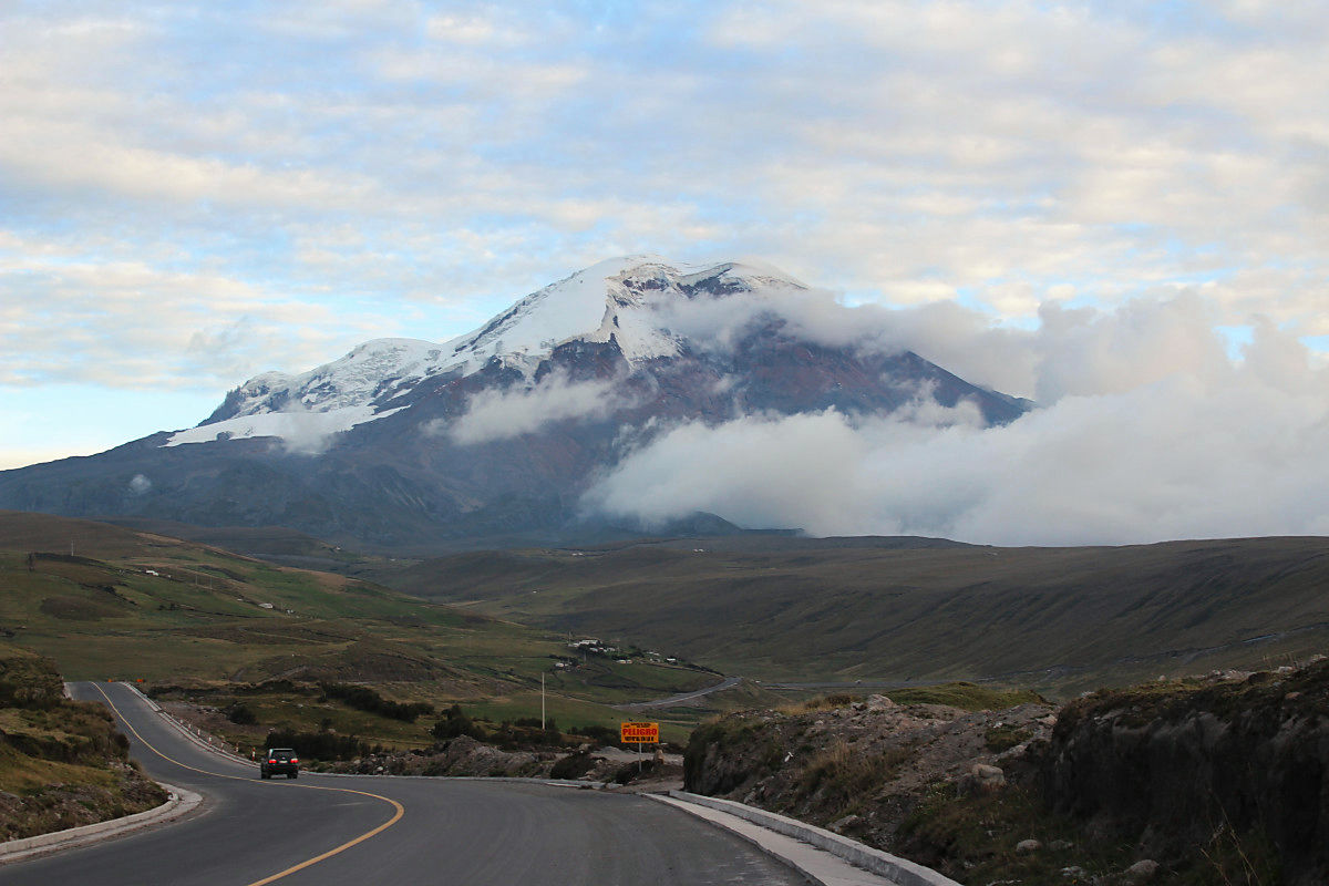
Basically it was a beautiful asphalt, but this unpaved section also comes out. "PELIGRO" means Spanish and dangerous.
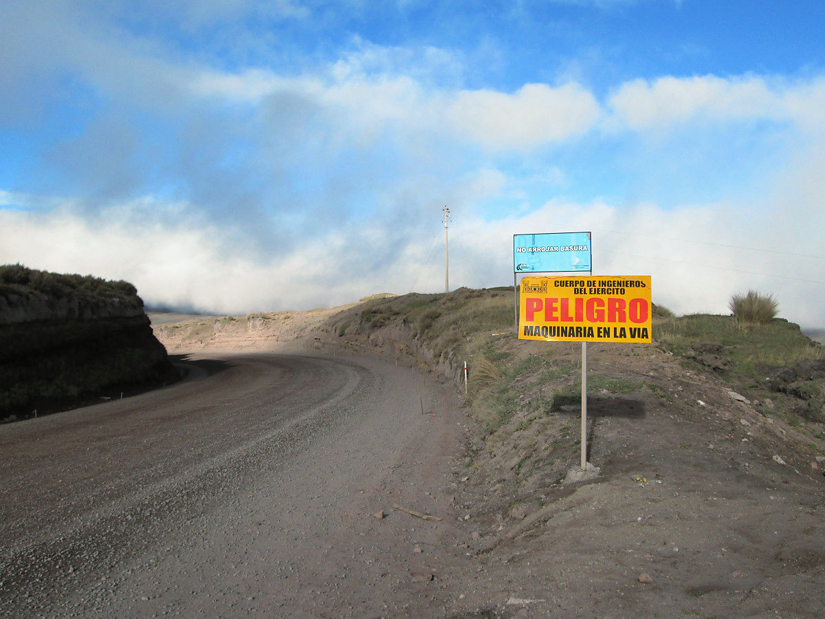
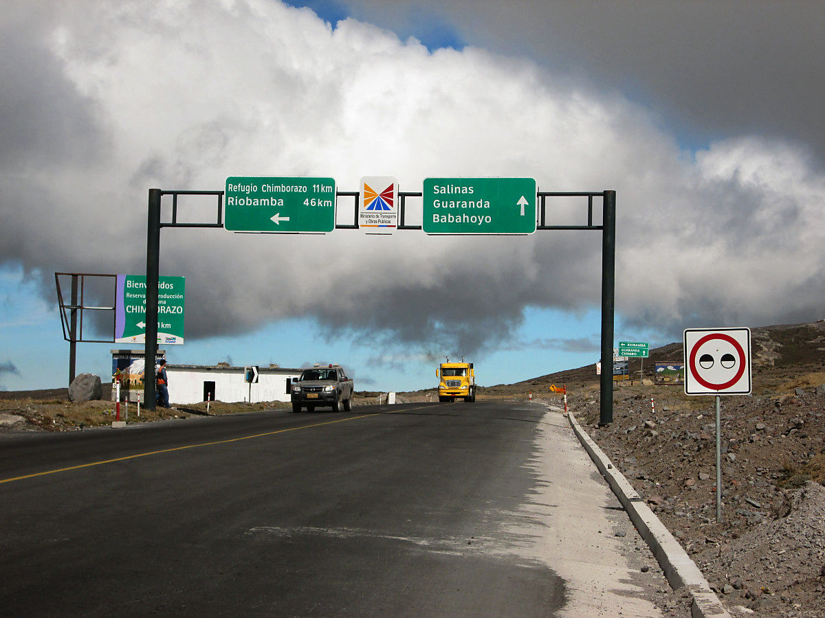
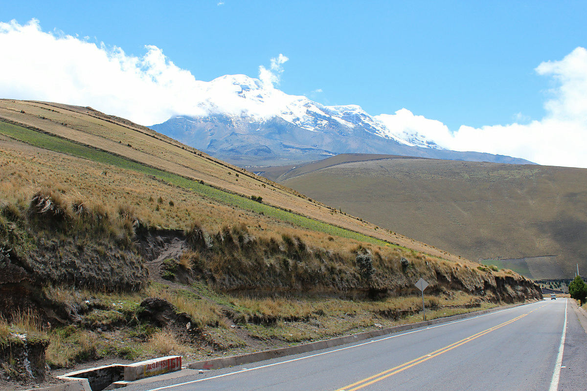
Road around Chimborazo
The first altitude in Charlie's life beyond 4000 m

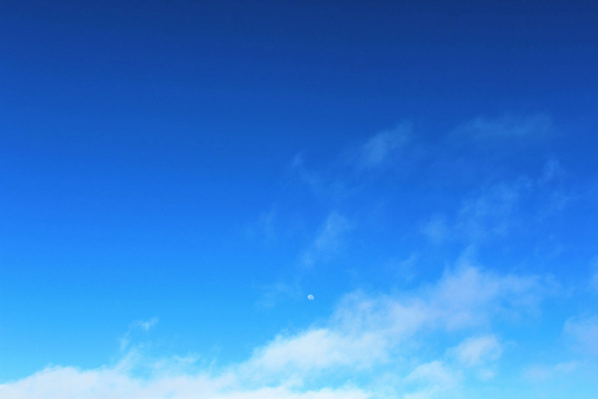
In the sky at altitude 4000 m, I felt the moon nearby.
Settlement at the base of Chimborazo. Even if the altitude exceeds 4000 m, people live. There are many people called Indy Hena, black hair and brown skin are close to oriental people. I am walking in a figure of folk costumes such as a skirt of a friday featuring a hat covering a poncho from the neck. I am happy that you gave me a hand waving.
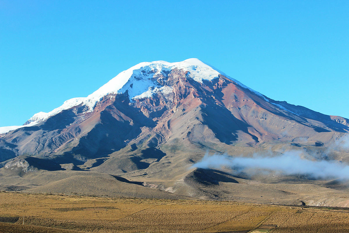
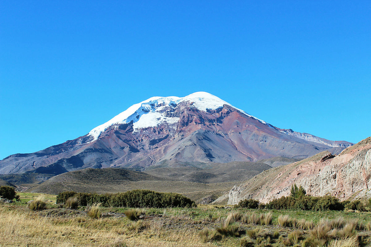
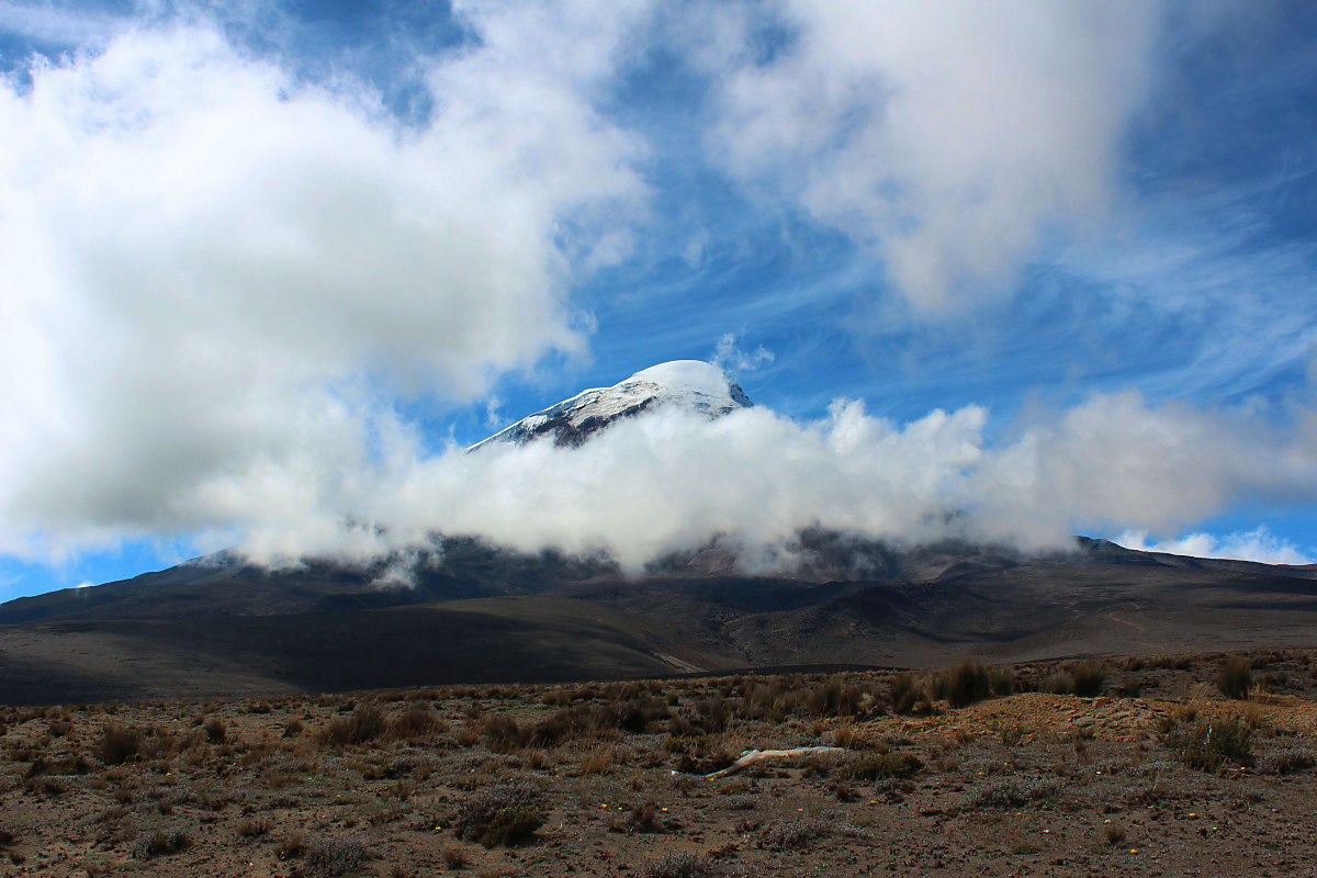
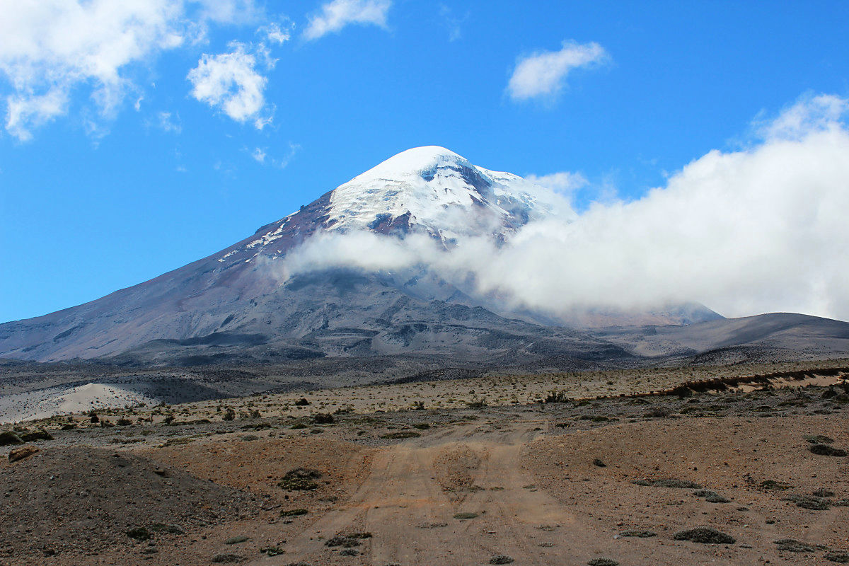
Chimborazo without one cloud
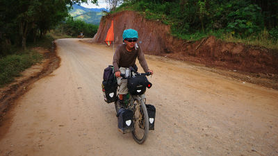
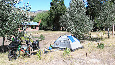
It really ran from full-packed bicycle.
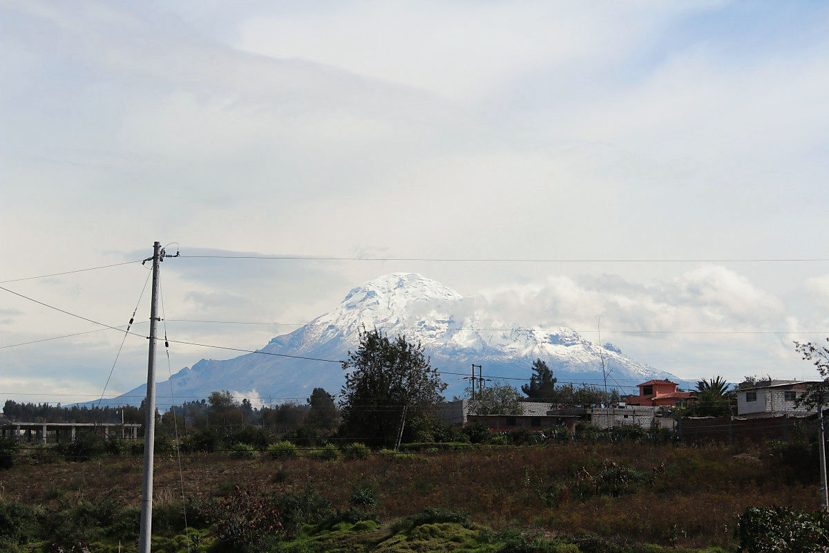
After the morning the clouds have flowed and the top of the mountain is not clearly visible.
Bend this branch and aim for Riobamba. The straight road seemed to be connected to the Pacific Ocean.
A flock of sheep that appeared in the wilderness. The wind was strong and it was cold, so Mohumov was envious.

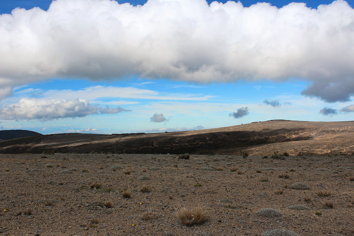
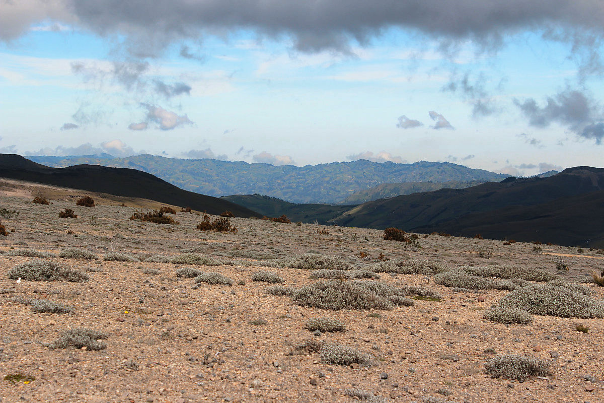
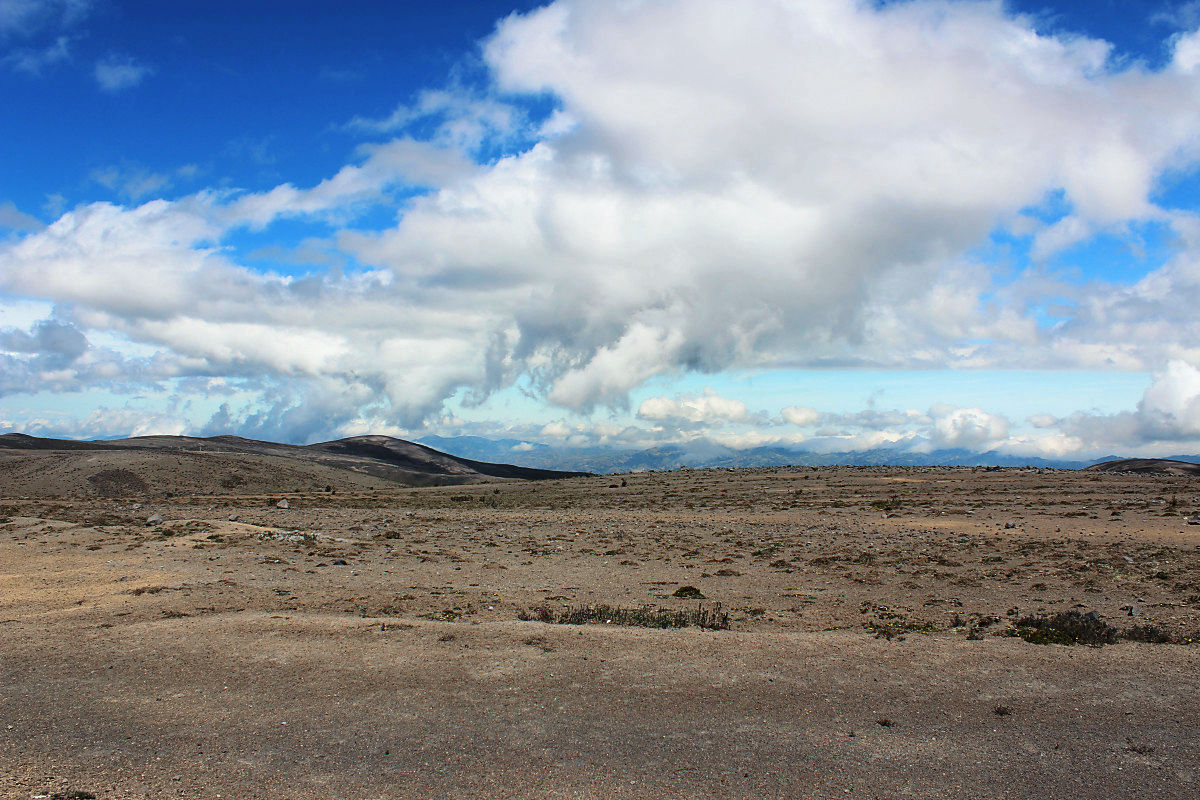
The extreme world where the clouds are close
I will forget to stay on the water and green earth
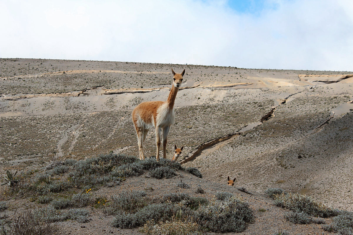
wildVikunhaDiscovered
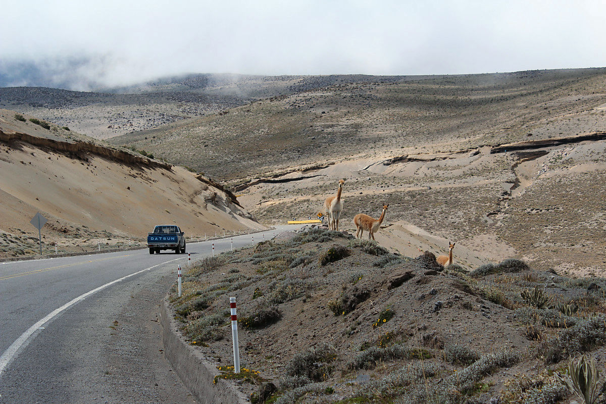
I was asking about this situation. The figure of three is too cute.
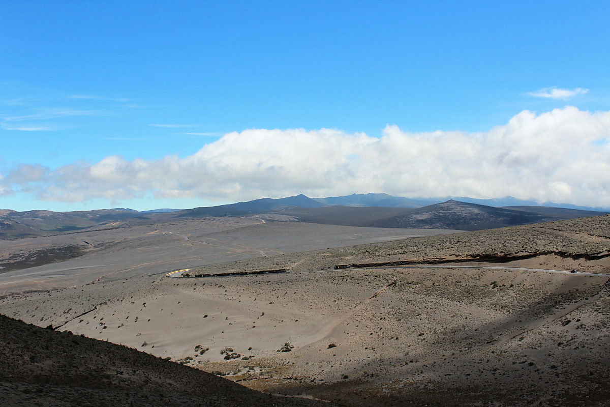
Even if it passed the branch, I continued going further.
I want to take pictures any number of times Chimborazo
I felt like I could run on a bicycle to the top of Chimborazo if I straight forward this rut.
The highest point where strong wind blows is 4395 m above sea level. I am cold, tired, my stomach is empty, I do not want to go down to the lower bound soon.
Become the downhill wind and chimborazo after
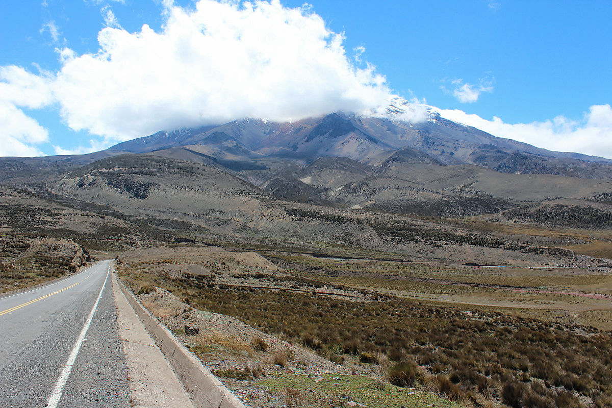
When the altitude is about 3000 m, the altitude difference increases and the dignity comes out in the mountain.
Chimborazo gradually goes away
After going downhill, we joined the Pan American Hightway as the main line. There was time at 1 p.m., but since I was exhausting my strength so much I went down to the town of Riobamba and I entered the accommodation earlier. I got a shower and got to live.
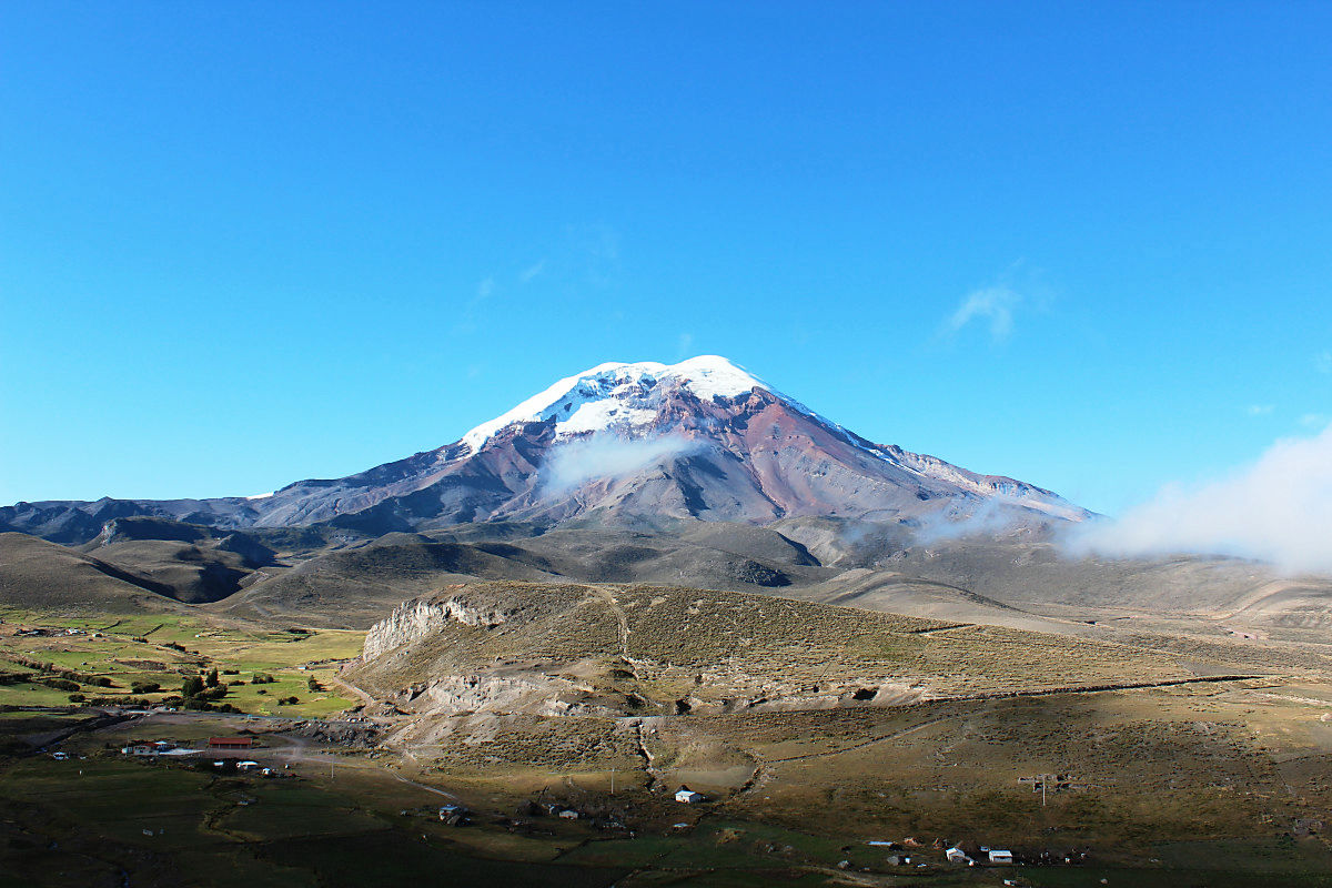
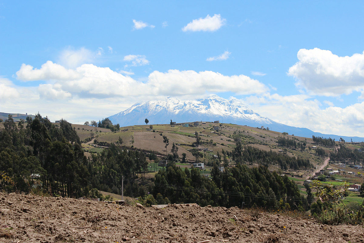
When leaving Riobamba, Chimborazo revealed its appearance.
Altitude 6268 m Chimborazo. It may be the best mountain on my trip.
After exceeding the altitude of 4000 m, it felt like I was flying in the sky. Peru, Bolivia and the road of Andean which continues still. If there is opportunity, I also want to run somewhere over 4000 m above sea level. Fortunately I did not feel altitude sickness. I am enjoying the Andean mountain range of South America that became the last continent.
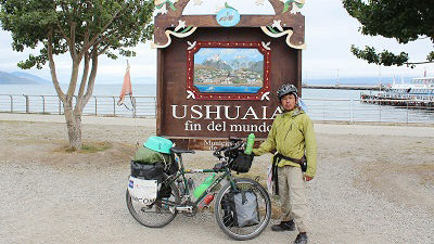
(Sentence / photo: Takuya S. Narou Charriderman
Cycling around the world for a bicyclehttp://shuutak.com
Twitter@ Shuutak)
Related Posts:
in Coverage, Posted by logc_nt