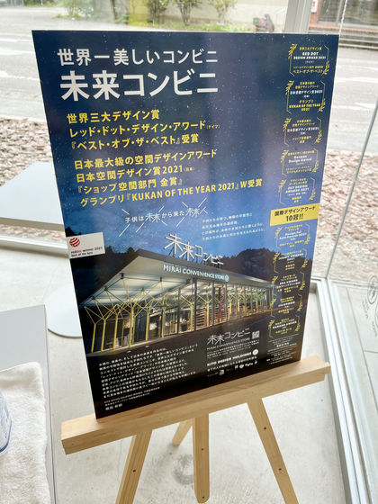
We crossed the Kirigoe Pass to visit the 'Future Convenience Store,' said to be the most beautiful convenience store in the world.

When I went to the event '
It is located about 100km from the center of Tokushima city (in front of the station), a little over 2 hours by car, so it is frankly an inconvenient location, but this time I had the opportunity to travel to Toyo Town, which is on the border with Kochi Prefecture and is home to the world's first DMV . From there the distance is reduced to about 65km and the journey time was reduced to around 1 hour, so without knowing the details, I crossed National Route 193 and Kirigoe Pass, which is actually one of the worst roads in Tokushima Prefecture, and headed to Mirai Convenience Store.
After driving this route, Machi★Asobi's official Twitter account has called for people to use National Route 55 instead of the route via National Route 193 , so please use this article as a reference only and make sure to travel safely.
Machi Asobi
https://www.machiasobi.com/
Future Convenience Store | Facebook
https://www.facebook.com/miraicombini/
Future Convenience Store @Kito (@miraicombini) • Instagram photos and videos
https://www.instagram.com/miraicombini/
If you only want to see the convenience store of the future, please jump to the ' Convenience Store of the Future ' section in the table of contents.
Table of Contents
・Kaiyo Town to Kirikoe Pass
・From Kirikoe Pass to Mirai Convenience Store
・Future Convenience Store
◆ From Kaiyo Town to Kirikoshi Pass
After visiting the gourmet hunt shop, Takaraido, in Kaiyo Town and purchasing DMV Monaka , we head along National Route 193 along the Kaifu River.
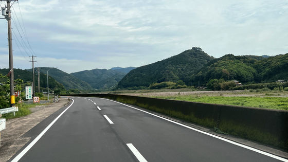
After crossing the bridge, continue heading north with the Kaifu River on your right. The two-lane road continues for a while.
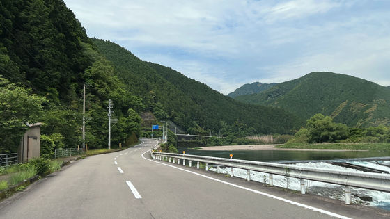
Once you pass
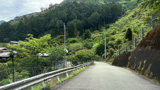
After passing through the village of
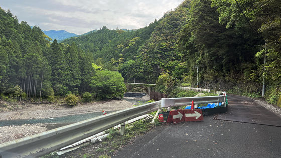
Just past the village, repair work was being carried out on the collapsed road. At the time of writing, you can see the construction work on Google Maps.
You can see the area where construction work was carried out earlier downstream.
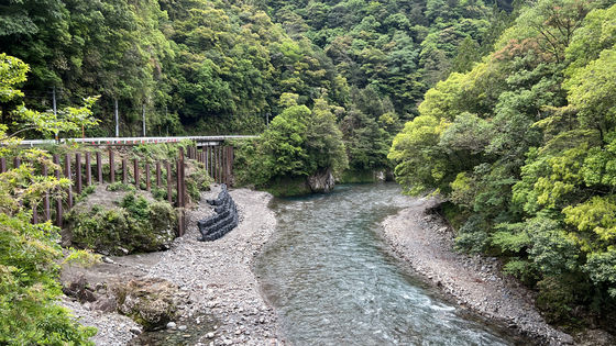
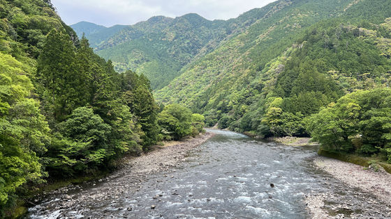
This is what the upstream side looks like. National Route 193 goes up the mountain along the stream that curves to the right, so it doesn't head towards the mountain that can be seen directly ahead.
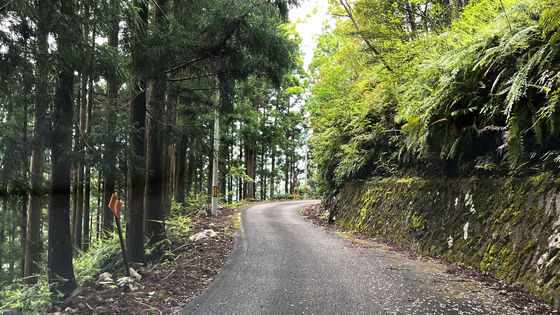
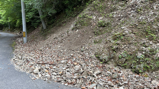
After passing the village of Minanose, there are no more houses along the road. After a while, the road continues with cliffs on the left (valley side) and rocks rolling down the roadside on the right (mountain side). There are places where you can take shelter here and there, but it seems like it would be quite difficult for large vehicles to pass each other.
Eventually you will see a fork in the road.
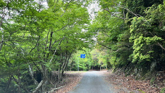
Some maps indicate
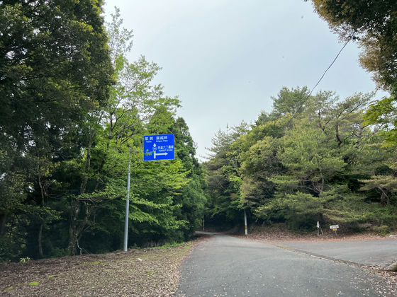
The forest road connects to Prefectural Route 36 at
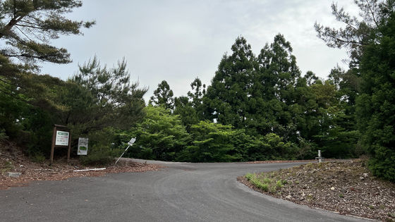
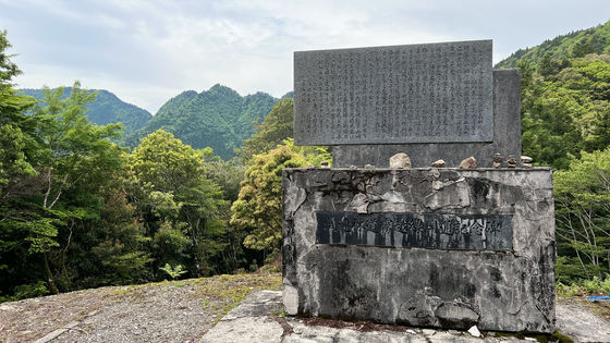
Going a little further from the fork, you will come across the 'Monument commemorating the opening of the Kirikoshi Line forest road' on the outside of a slight right curve.
Next to it is a map of Naka town and a sign with the town's name, displaying the town's catchphrase, '
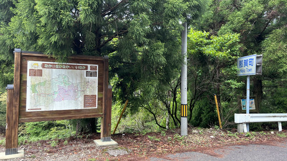
Behind the 'Nakacho' sign is Kaiyocho. Google Maps and other sites refer to this point on the town border as Kirigoe Pass.
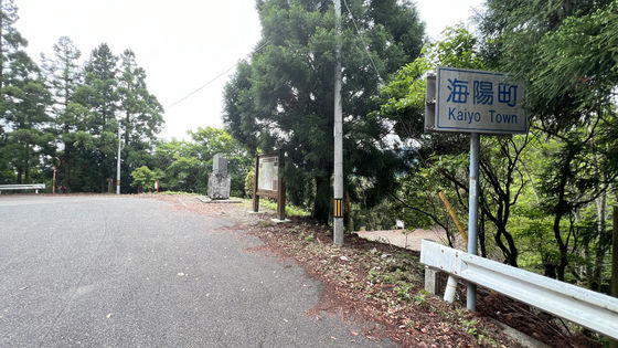
Since it was daytime, we didn't see the fog that the name suggests. On the west side of the pass, there is a gentle descent leading to Mount Unagi.
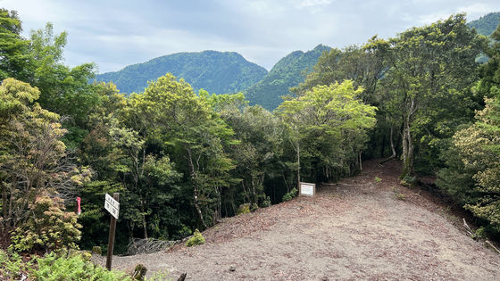
◆From Kirikoe Pass to Mirai Convenience Store
Just after passing Kirigoe Pass, there was a section where the entire slope had collapsed. It is easy to see why it is not recommended to pass through.
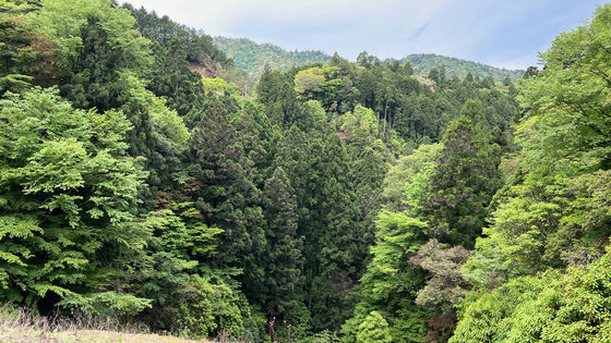
After passing one car just past Minami-nose village, there were no other cars following or oncoming as we crossed the pass, and perhaps because it was the season, there were no sounds of birds or insects, so we continued on through a very quiet forest.
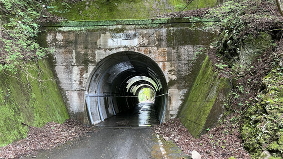
There were no tunnels on the Kaiyo-cho side of the pass, but a tunnel appeared when we entered the Naka-cho side. This tunnel is called the Kaikawa Tunnel, and the photo shows the entrance on the Naka-cho side.
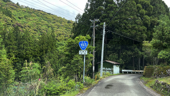
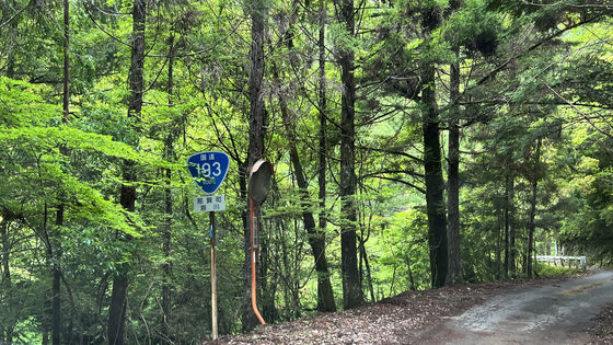
The road sign, commonly known as 'onigiri,' indicating that this is a national highway, has finally appeared. This is Umikawa in Naka Town, and before I knew it, the river was once again approaching the left side of the road (the valley side).
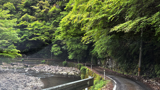
A one-lane road with or without guardrails. As I came down to
Along the way, we came across
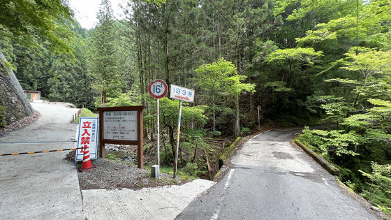
National Route 193 as seen from the forest road entrance. You can see the Umikawatanigawa River flowing right next to the road.
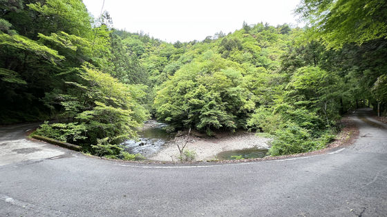
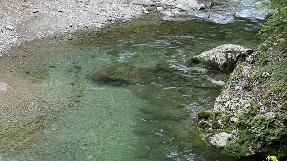
It's a clear flowing river.
Once you pass the forest road fork, you will come to another tunnel.
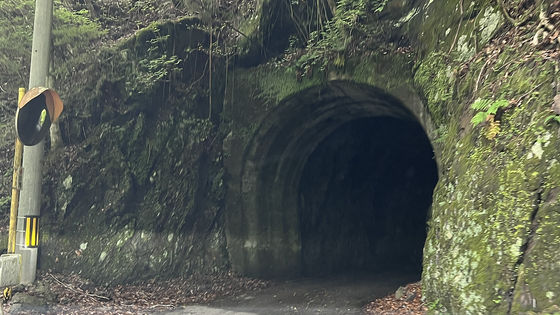
The inside of this tunnel is paved near the entrance, but the rock surface is exposed near the center.
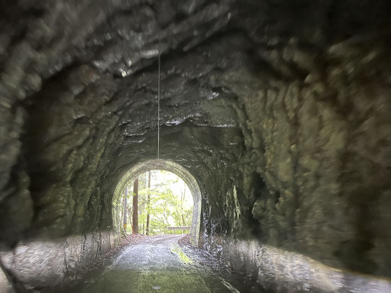
I was a little surprised because the Umikawa Tunnel, which is closer to the pass than here, was paved.
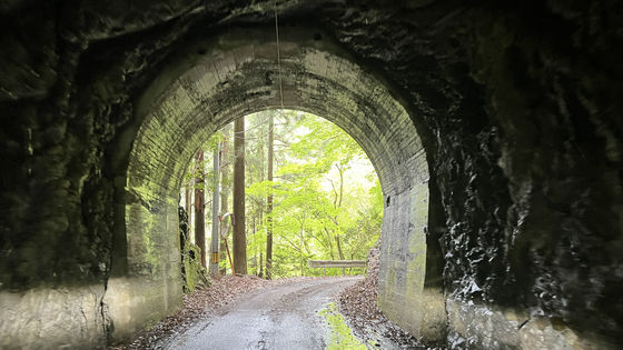
Once you exit the tunnel, the road becomes two lanes and you think the 'bad road' part is over...
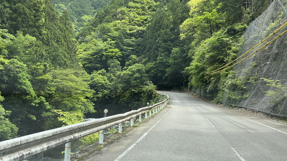
The tunnel again.
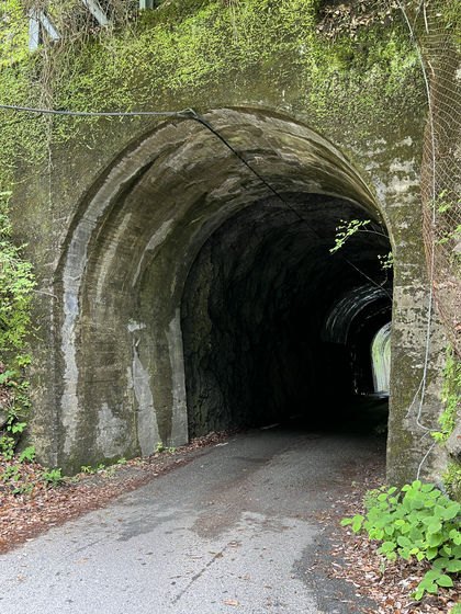
As before, there is no inner wall near the center.
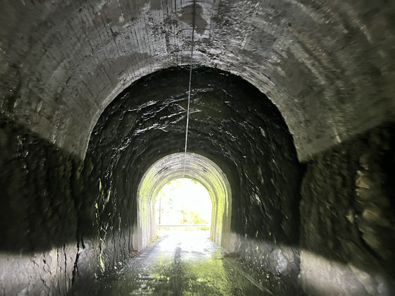
As we exited the tunnel, we could see that bolts had been firmly installed to prevent landslides.
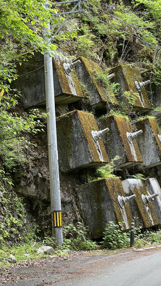
From this point on, the road seemed to be a fairly conventional mountain path. This route was chosen solely because I wanted to quickly get to Mirai Convenience Store, and I wasn't aiming to complete Route 193, so I took
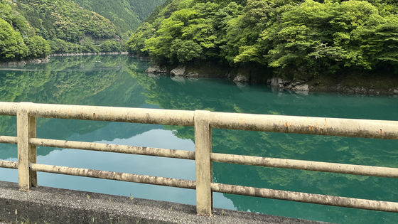
National Route 195 is a scenic road that runs along the Naka River.
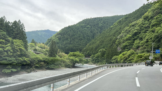
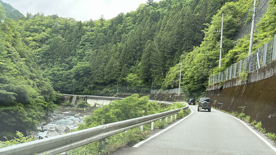
Much progress has been made in improving the road to shorten it by installing tunnels around ridges, but there are still some places where there is no center line.
◆Future Convenience Store
After a journey of just over an hour from Kaiyo Town, we arrived at Mirai Convenience Store.
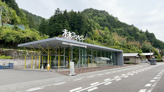
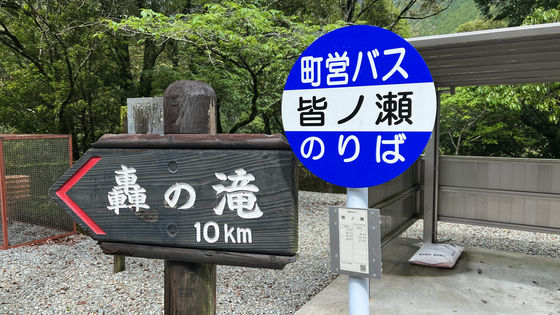
The location is here, just before Yotsuashi Pass on the border with Kochi Prefecture. Most people will probably get there by car or motorcycle, but there is a bus stop called '
Even so, as it calls itself the 'Convenience Store of the Future,' the gap between it and its surroundings is enormous...
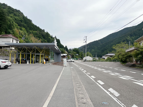
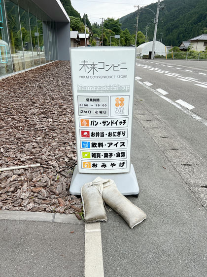
Business hours are 8am-7pm, closed on Wednesdays.
The exterior makes it easy to understand why this building is considered an art-related building in an urban area.
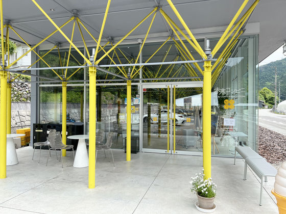
Naka Town's Kito is famous for yuzu, so as soon as you enter the store the shelves are lined with yuzu and Kito-related products.
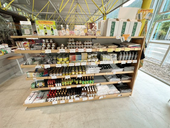
Since it is
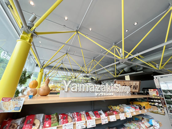
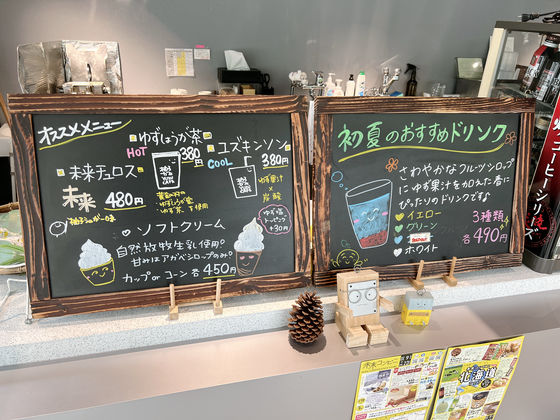
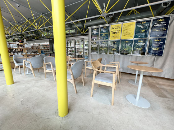
There is also an eat-in menu...
You can enjoy a leisurely meal at the Yuzu Cafe in the back of the store.
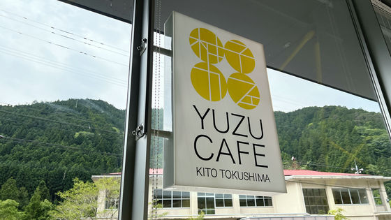
It's the perfect 'chic cafe'.
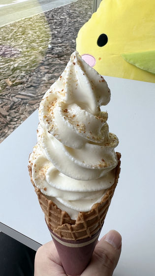
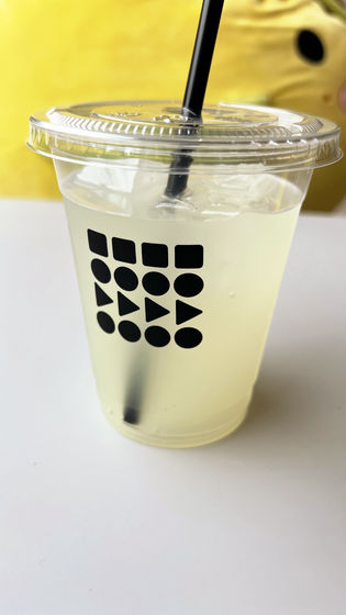
This time I bought soft serve ice cream with yuzu salt topping and 'Yuzukinson' which is yuzu juice and carbonated water.
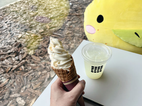
The subtle sourness and saltiness enhance the flavor of the already sweet soft serve ice cream.
On the other hand, 'Yuzukinson' is not sweetened like other soft drinks, so the sourness of the yuzu flows directly into your throat along with the fizzy carbonation, making it very refreshing. It's perfect for the hot season.
By the way, this yellow kappa is Yuzu Kappa, the PR character for Kitou

This time, the day we visited was sunny with a few clouds, but I've heard that it's incredibly picturesque on clear days or at night when there are few clouds, so I'd like to visit when the weather is nice.
The route we took this time was shown on a map like this. The area around Kirikoshi Pass on National Route 193 is dangerous due to the many falling rocks, so it is better to use other avoidance routes.
Related Posts:


