Google temporarily stops displaying traffic information on Google Maps to protect the general public in Ukraine
There is a story that
Google temporarily disables Google Maps live traffic data in Ukraine | Reuters
https://www.reuters.com/article/ukraine-crisis-alphabet-idCAKBN2KX036
Google Turns Off Maps Features in Ukraine That Inadvertently Showed Russia's Invasion
https://www.vice.com/en/article/5dgjka/google-maps-ukraine-live-traffic-russia-invasion
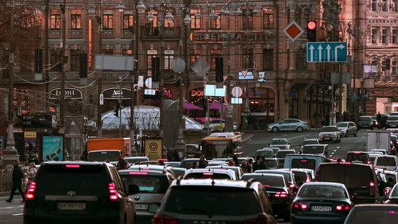
Google Maps has a function that shows whether the traffic conditions on the road are smooth or congested based on the information from the smartphone.
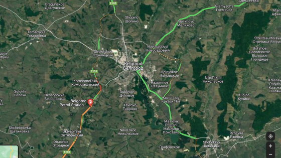
In the Russian invasion of Ukraine that began on February 24, 2022, traffic jams will not occur on the route from the point where the Russian army's trains are reflected in the satellite photograph to Ukraine at midnight and early dawn. There was one act in which the researchers noticed something was happening because of the traffic jam during that time.
Researchers had previously detected Russia's invasion of Ukraine from traffic jam information on 'Google Maps' --GIGAZINE
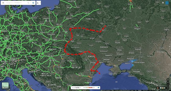
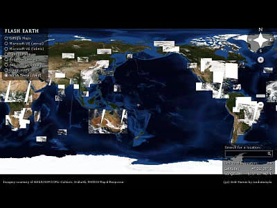
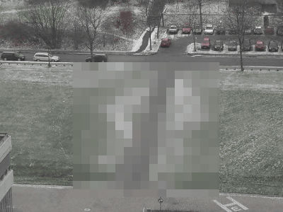
However, after that, Google stopped displaying traffic information in Ukraine because using this traffic information would also highlight the movement of Ukrainian troops and the evacuation of civilians. In the image below, I tried to draw a red dotted line on the western border of Ukraine, but you can see that the traffic information is interrupted at the border with Poland and Slovakia.
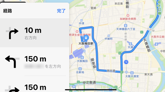
Although traffic information can no longer be viewed from the global environment, it can still be used when using turn-by-turn navigation locally.
Related Posts:

in Note, Web Service, Posted by logc_nt