"Flash Earth" updating satellite photos of the earth seen from space every day
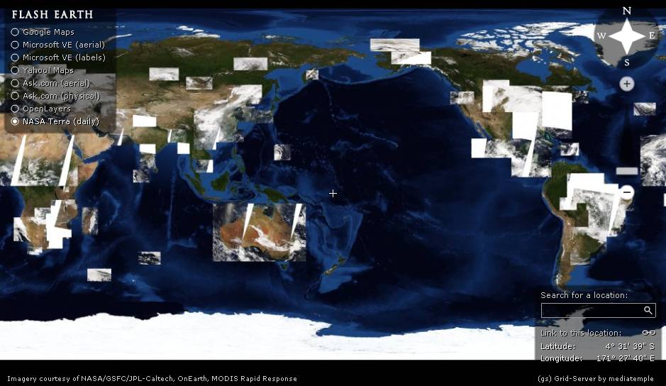
Since it uses the data of "Nasa Terra", it is updated everyday, the state of the clouds and so on are changing properly. I can taste the viewpoint of God.
The whole is made of Flash, the operation feeling is "Google Maps"Nasa Terra" besides "Google Maps" · "Microsoft Virtual Earth" (Current Live Local Search) · "Yahoo! Maps" · "Ask.com" information can be displayed. It is convenient because you can switch information of each site on one site.
Details are as follows.
Flash Earth ... satellite and aerial imagery of the Earth in Flash
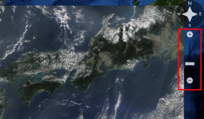
Enlargement / reduction is possible by clicking "+" and "-" on the right. Although there is a certain limit to the level that can be expanded, it can be closed up considerably in detail
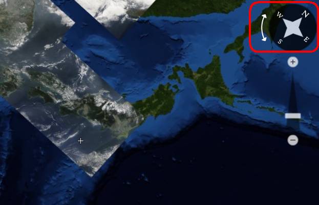
Also, the part showing the direction of the upper right is rotatable, so that you can rotate it in the direction you like. If you think carefully, you can do such rotation with existing map service etc. only if you use Flash.
Related Posts:


in Web Service, Posted by darkhorse_log