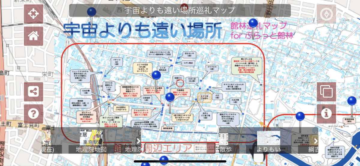
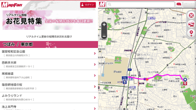
'Maplat' which can be displayed by superimposing an old map or a holy place pilgrimage map with a modern map and walking in town
Old maps depicting the state of Nara of around 1844 '
Buzzed and promoted: Maplat, an open source that allows you to create sites where you can walk around town with old maps and pictorial maps. -Chiburari Hackers
https://blog.chizuburari.jp/entry/20019/03/26/005136
Plat Nara-an old map / picture map town walk app to enjoy Nara
https://s.maplat.jp/r/naramap/
Let's look at ' Plat Nara ' where you can see the old map of Nara for a trial. The browsing method is just to access the public site with the browser of PC or smartphone. This time I tried to access with Safari on iPhone X.
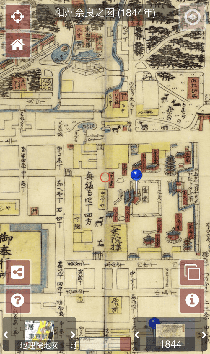
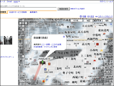
When actually accessing ' Plat Nara ', 'Wanshu Narano map' is displayed.
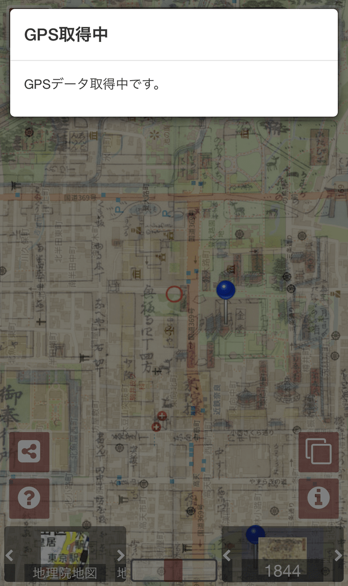
When you tap the button on the lower right information mark ......
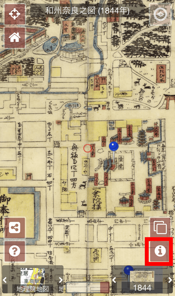
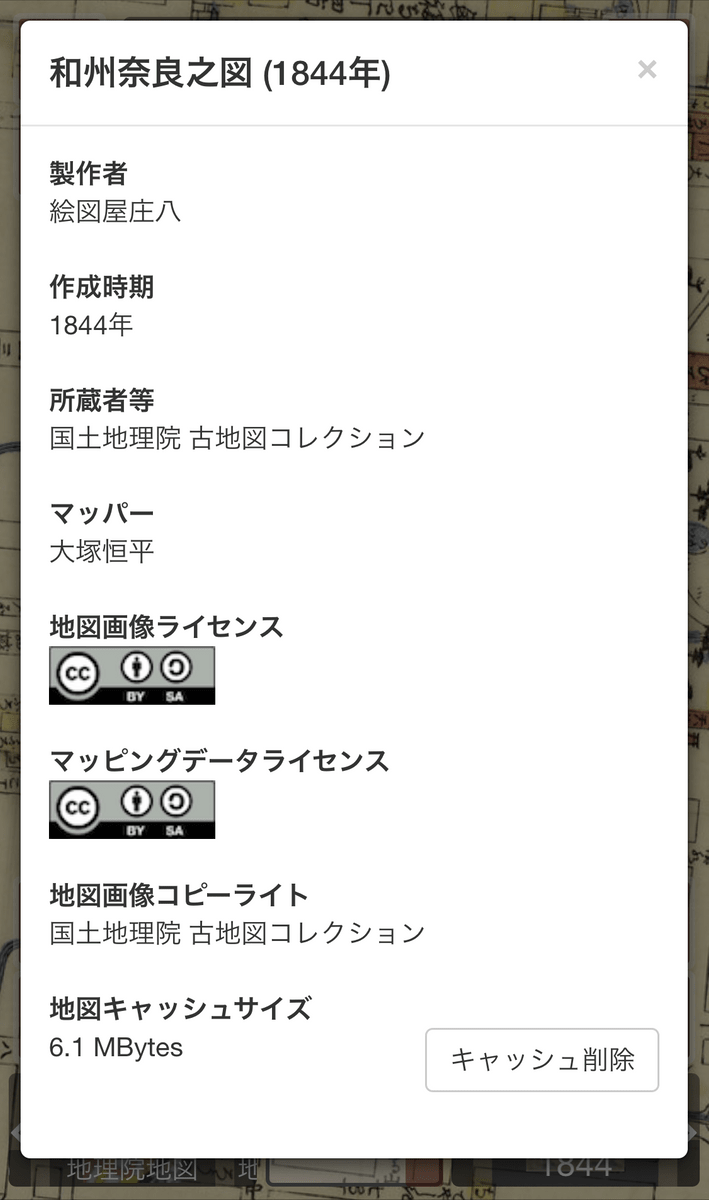
You can see detailed information about the map.
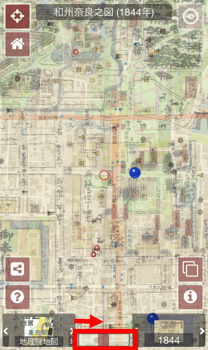
Slide the 'Map Transparency Adjustment' bar at the bottom of the screen from the right edge to the left edge to display the current map of Nara City created by GSI. If you switch the map display quickly, you can compare the current state of Nara city with the situation in 1844 when the Nara Prefecture Narashu map was created.

It is also possible to slide the bar to the center and watch it superimposed.
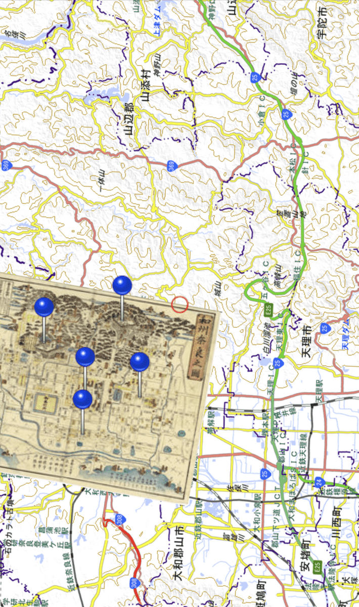
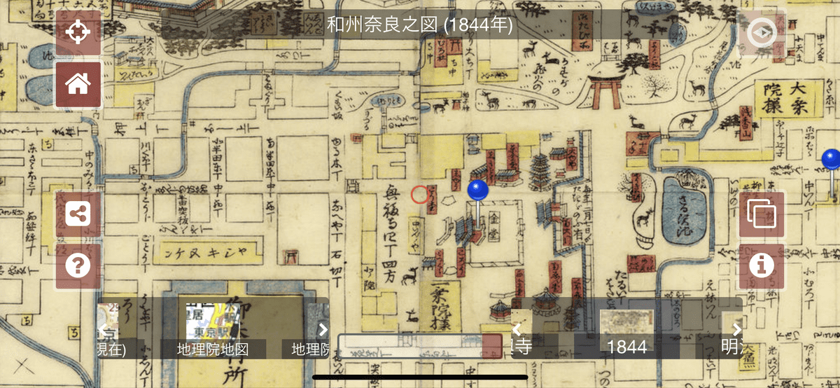
You can zoom in / out on the map with pinch in / pinch out. The area which the old map does not cover is displayed the modern map of the background.
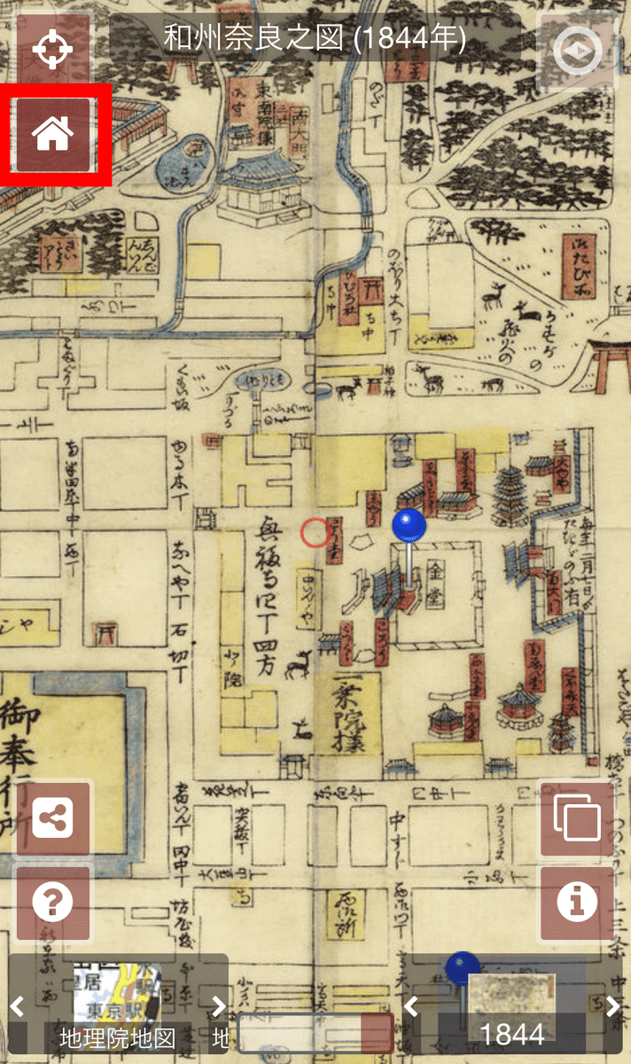
Tapping anywhere on the map will redisplay the various buttons that were hidden during zoom in / out. You can return to the home position by tapping the button of the house icon, so when operating an old map, you can quickly return to the original map even if you do not know where you are displaying now I can do it.
When you tap the button above the home button ...
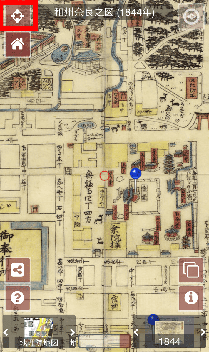
You can also use your device's GPS function to display your current location, so you don't lose track of your current location when you're actually walking around in town.
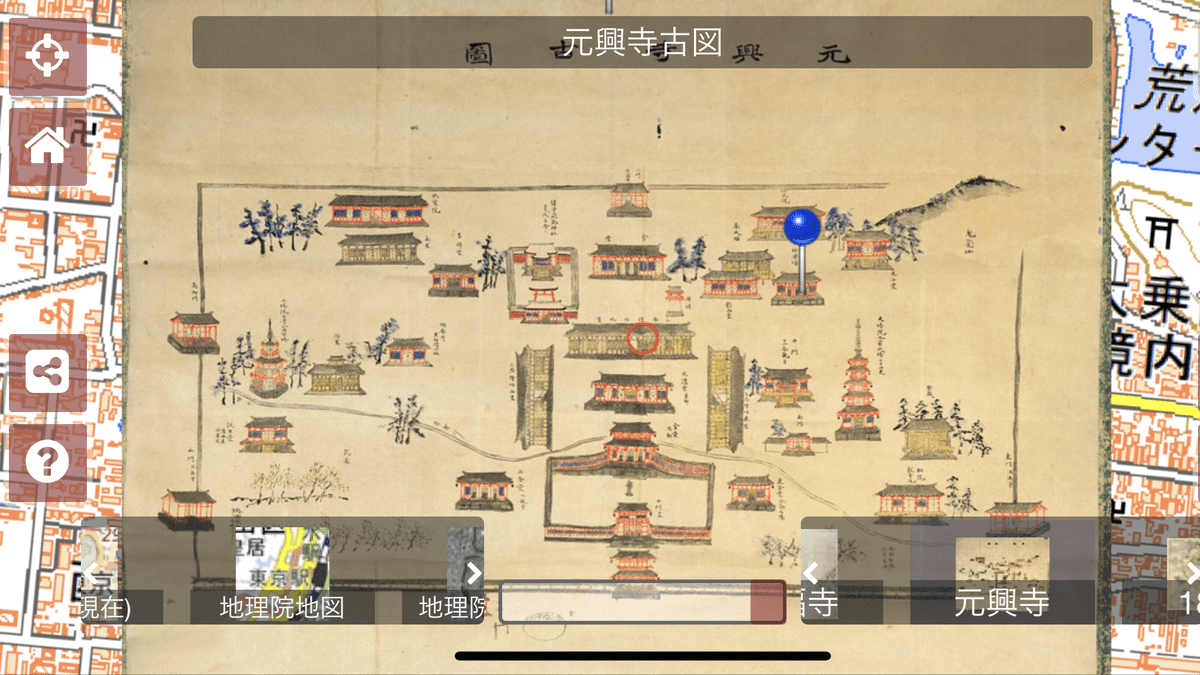
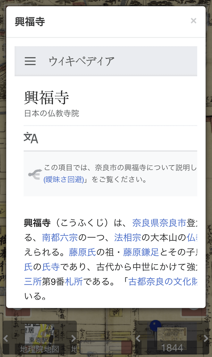
Tap the blue pin on the map ...
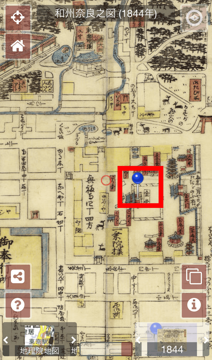
A commentary about the place is displayed.
It also supports landscape orientation.
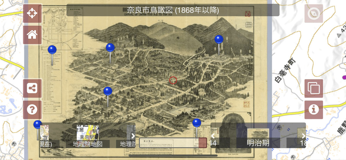
There are various maps in addition to 'Wasshu Narano-zu' in 'Plat Nara'. Slide the part of the lower right red frame to the left and right to switch, and you can see the '
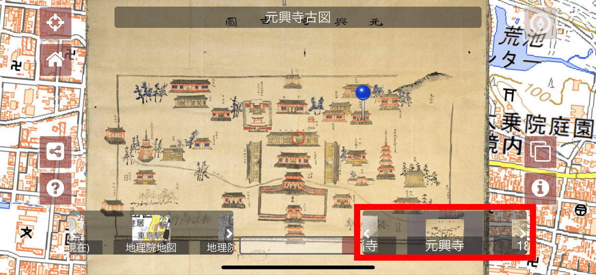
You can see 'Nara City Bird's-eye View' and more.
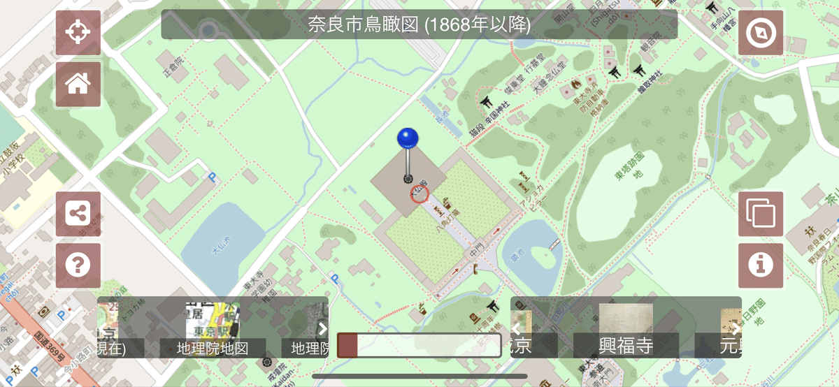
I try to switch to the map of the present age by operating the 'Map transparency adjustment' bar after 'Tourai Temple' in 'Nara City Bird's-eye View' ...
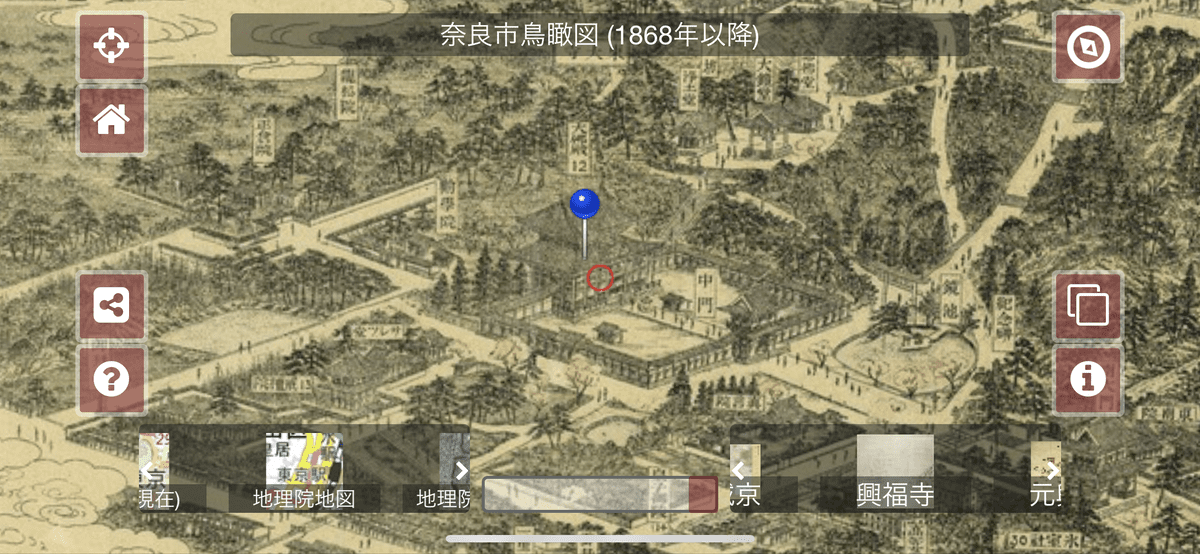
Today's map is centered on Todai-ji Temple. From this, it is possible to completely synchronize the modern map with the modern map without distorting or correcting it, because the bird's-eye view in the form of looking down obliquely from the sky or an old map not necessarily accurate due to technical limitations such as surveying technology. I understand that
'Maplat' has various maps such as 'Platto Nara' as well as 'Platt
Related Posts:

in Web Service, Web Application, Posted by log1l_ks