Protomaps is an open source world map format that can be used for free.

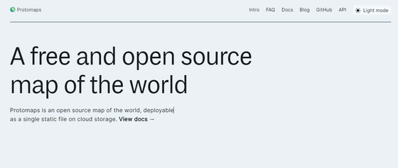
' Protomaps ' is an open source world map format that can be placed as a static file on cloud storage. Protomaps can distribute tile data without any special server implementation, and since it uses the open data source OpenStreetMap as its base map, it can be installed completely free of charge.
Protomaps | A free and open source map of the world
https://protomaps.com/
Protomaps Documentation | Protomaps Docs
https://docs.protomaps.com/
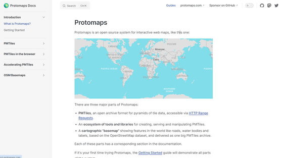
Protomaps mainly consists of three parts: the PMTiles format, basemaps, and an ecosystem of tools and libraries for creating, providing, and manipulating PMTiles files.
The PMTiles format is a single file archive format based on tile data addressed by Z/X/Y coordinates, including vector tiles of base maps, images in JPEG format, and remote sensing observations. PMTiles can be hosted on storage platforms like Amazon S3 , enabling low-cost, maintenance-free mapping applications.
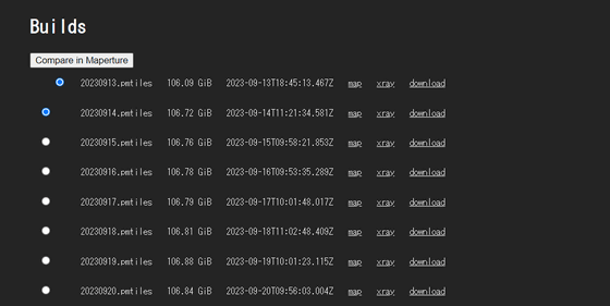
Protomaps basemaps are based on the open data map project 'OpenStreetMap' and are a collection of cities, roads, water bodies, and other important location contexts. Attribution to OpenStreetMap required, but distributed under the Open Database License . Daily builds of basemaps based on PMTiles version 3 can be downloaded from the following page.
Builds | Protomaps Basemaps
https://maps.protomaps.com/builds/
The PMTiles format is designed to be read directly with a web browser in combination with a JavaScript map library. A Python package 'pmtiles' for reading and writing PMTiles files is also available.
pmtiles · PyPI
https://pypi.org/project/pmtiles/
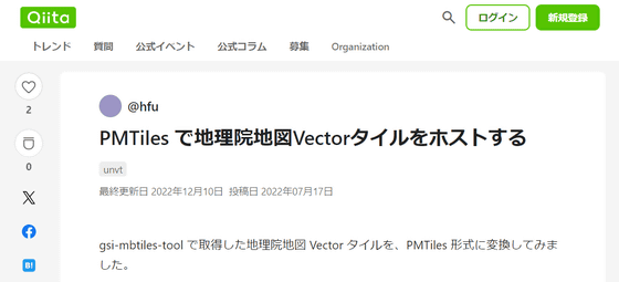
@hfu has published on the technical blog service Qiita an attempt to use this pmtiles package to convert the vector tiles ' Geographical Survey Institute Map Vector ' provided by the Geospatial Information Authority of Japan into the PMTiles format.
Host Geographical Survey Institute map vector tiles with PMTiles #unvt - Qiita
https://qiita.com/hfu/items/350a6b0c546002ccadc4
PMTiles file readers retrieve only the relevant tiles and metadata within PMTiles on demand through HTTP Range requests. The arrangement of tiles and directories is designed to minimize the amount of requests when moving and zooming the map.
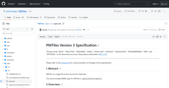
The PMTiles format specification is version 3 at the time of article creation, and the specification is published on GitHub below.
PMTiles/spec/v3/spec.md at main · protomaps/PMTiles · GitHub
https://github.com/protomaps/PMTiles/blob/main/spec/v3/spec.md
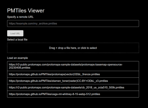
PMTiles Viewer, a browser-based tool for visualizing PMTiles files, checking metadata, and debugging tiles, is also available below.
PMTiles Viewer
https://protomaps.github.io/PMTiles/
Related Posts:
in Software, Web Service, Posted by log1i_yk

