Review of ``Municipal Change Flip Map'' that shows how the scope and names of municipalities have changed due to repeated municipal mergers

Basic local governments in modern Japan are divided into
Municipal change flip-flop map
https://mujina.sakura.ne.jp/history/index.html
When you access the municipal change flip map, the following screen will be displayed.
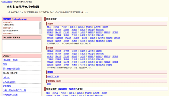
There are two versions of the flip map of municipal changes: a 'complete version' and a 'simplified version.'The complete version reflects the changes since the implementation of the municipal and town system systems in 1899, while the simple version focuses on
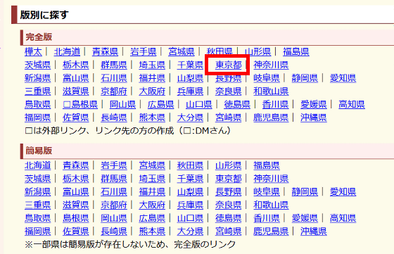
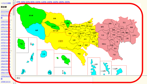
Then, the cities, wards, towns and villages of modern Tokyo were displayed color-coded. Yellow indicates 'city,' yellow-green indicates 'town,' light blue indicates 'village,' and pink indicates ordinance-designated city or special administrative district (ward).
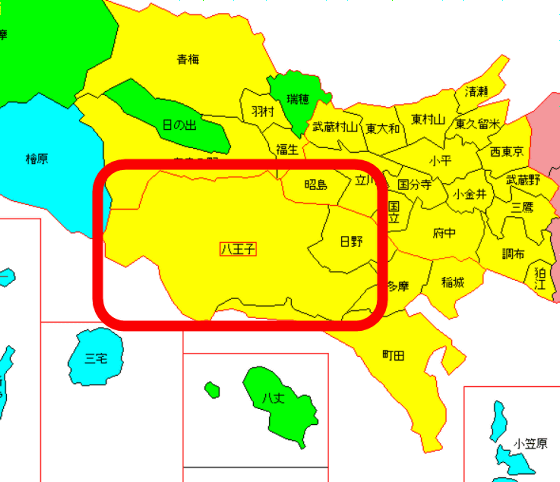
In addition,
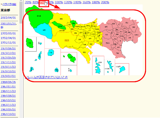
If the map is not visible and you want to display the entire map, or if you want to enlarge the map, move the cursor to the magnification display of '20%' to '200%' at the top of the map and the display size of the map will change accordingly. .
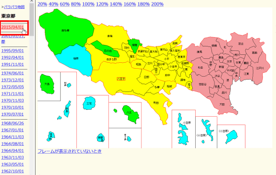
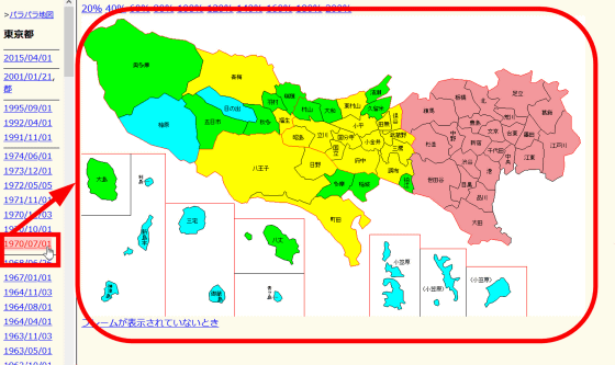
When it is open, the municipalities as of the latest (April 1, 2015) are displayed, and when you move the cursor over the era on the left side, the division of municipalities for that era is displayed.
If you try displaying the cities, towns and villages on July 1, 1970, there are more green and blue colors than in modern times, and you can see that there were more towns and villages at a glance. Also, modern
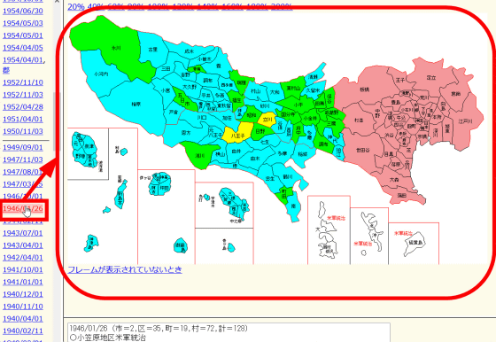
Immediately after World War II (January 26, 1946) it was like this. With the exception of
You can see that on July 19, 1900, individual towns and villages were fragmented to an extent that would be unimaginable in modern times.
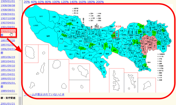
On the municipal change flipbook map, by moving the cursor over the years on the far left, you can see the changes in cities, towns and villages, just like in a flipbook. You can check out the video below to see how the municipal change flip-flop map is actually used.
I investigated the changes of cities, towns and villages in Tokyo with the 'Municipal Change Flip Map' - YouTube
Related Posts:
in Review, Web Service, Video, Posted by log1h_ik
