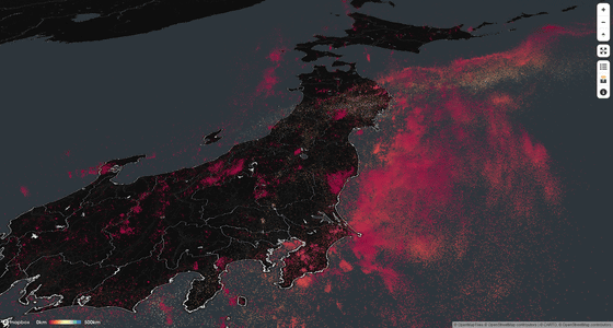
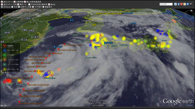
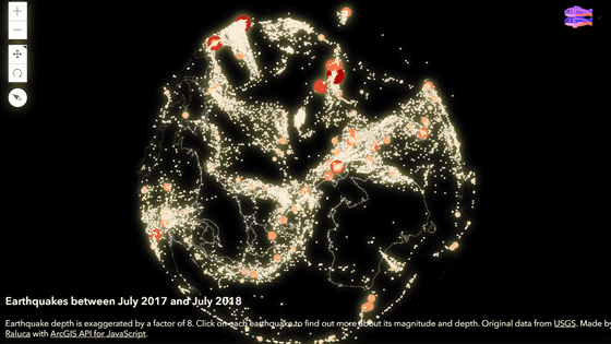
'Japan EQ Locator' showing the location of the epicenter of about 600,000 earthquakes on the map
Based on the data released by the Japan Meteorological Agency, ' Japan EQ Locator ' has been released, which plots the epicenters of more than 600,000 earthquakes with a magnitude of 2.0 or more that have occurred since 2000 on a 3D map.
Japan EQ Locator
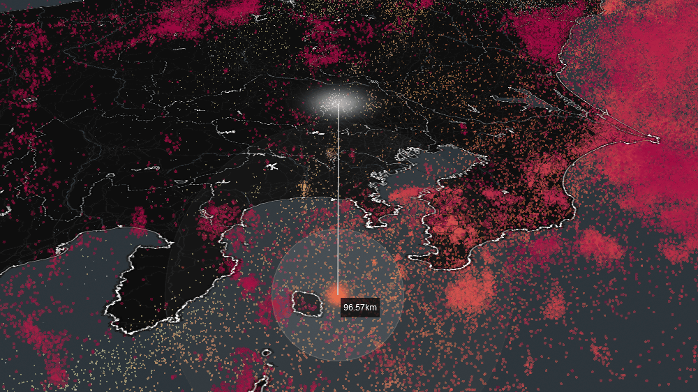
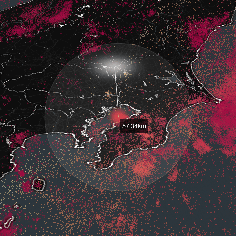
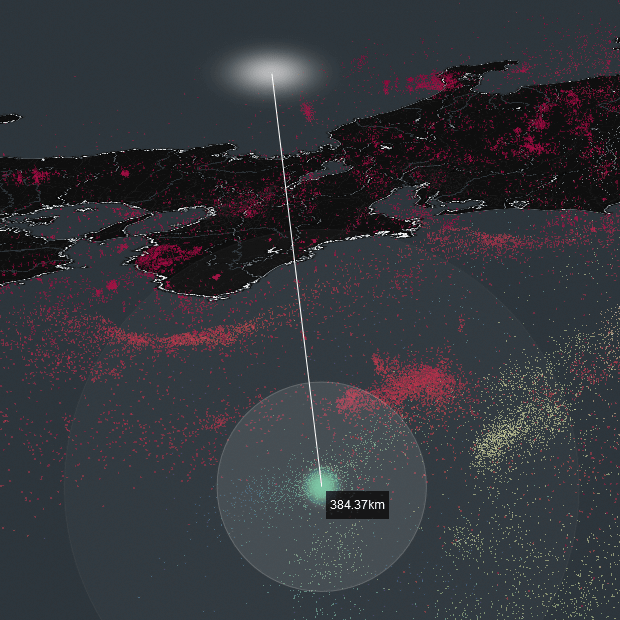
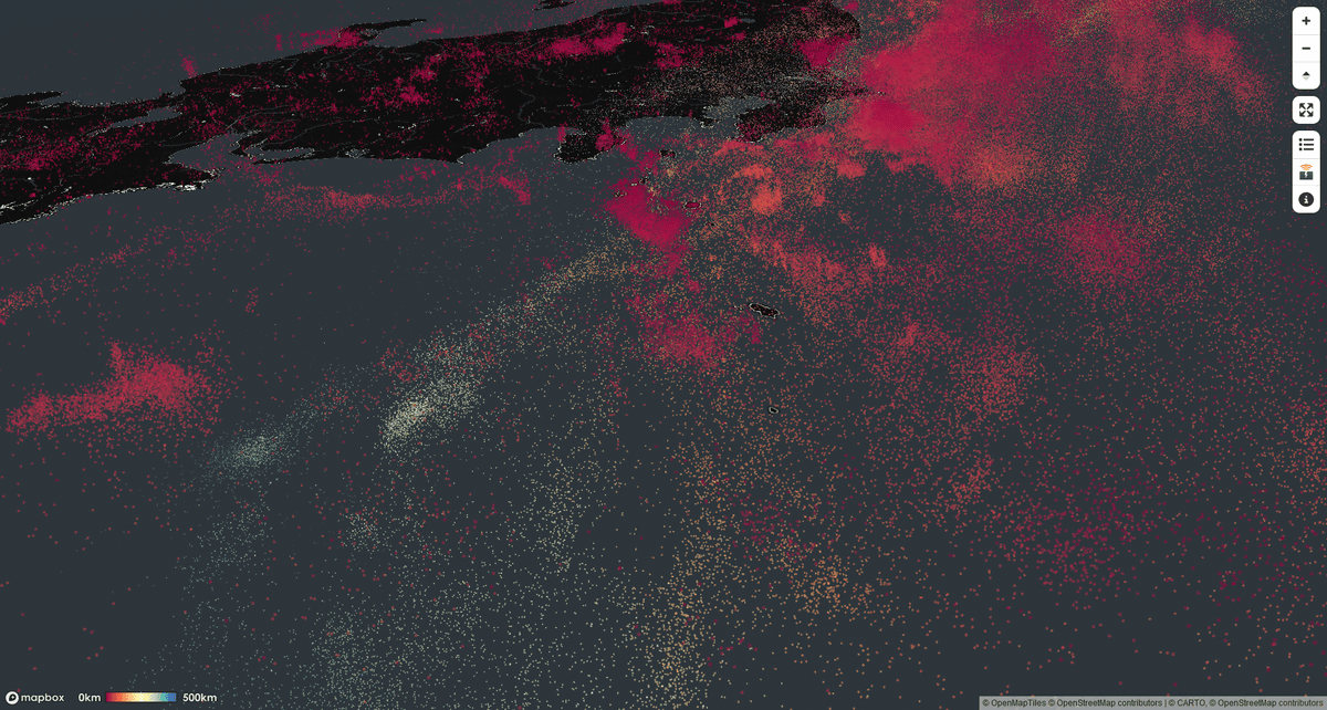
When accessed, a map with the epicenter plotted will be displayed. Epicenters are color-coded by depth, with red being shallower and blue being deeper. By clicking on each epicenter, you can display the detailed position, for example, this epicenter in Tokyo Bay has a depth of 57.34 km.
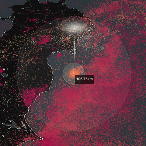
The orange epicenter off the coast of Fukushima Prefecture is 106.76 km.
The green epicenter off the southeast coast of the Kii Peninsula is 384.37 km.
The points indicating the epicenter are plotted three-dimensionally, so when you move the map, you can see 'Is the plate boundary around here?'
Related Posts:
in Review, Web Service, Posted by logc_nt