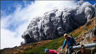
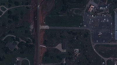
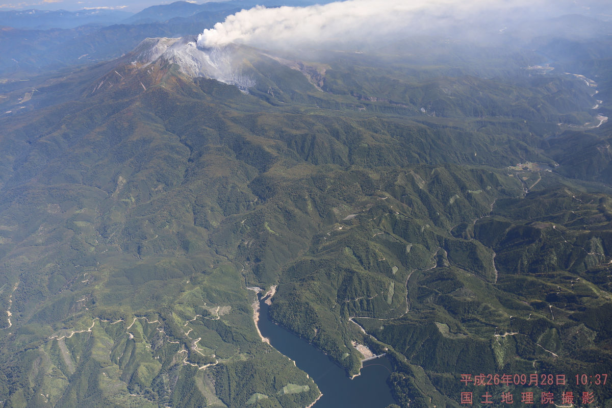
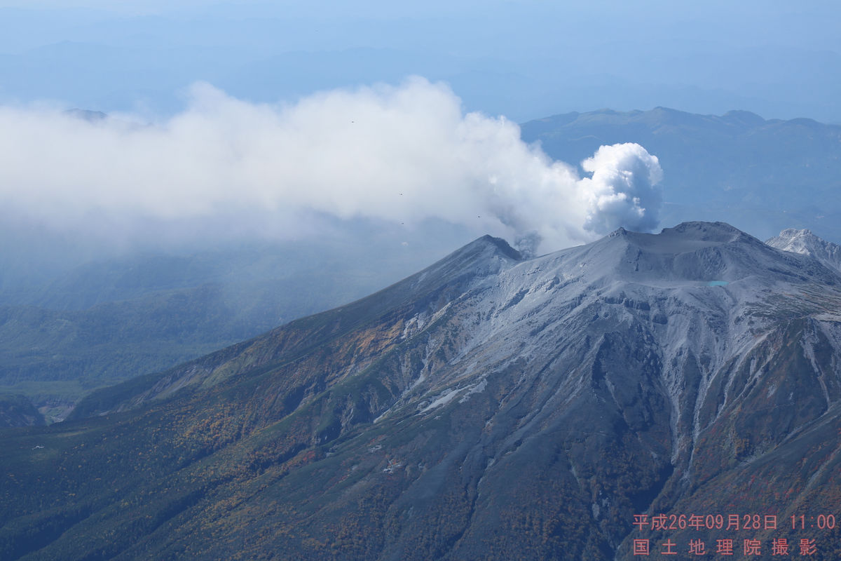
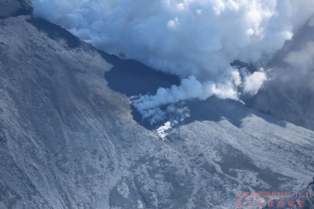
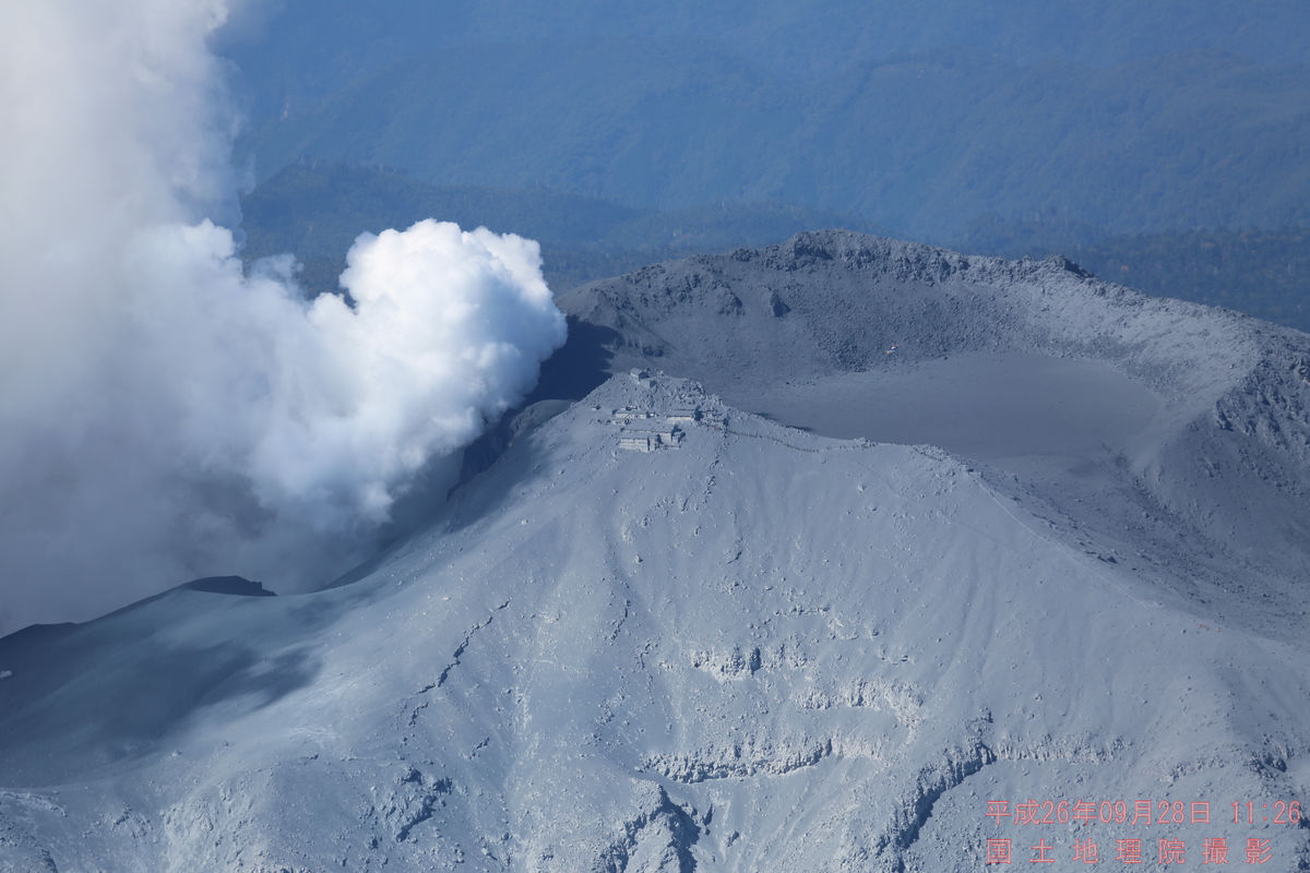
184 pieces of aerial photographs showing the tremendous eruption condition of Ontakeyama are released on the Internet by the Geographical Survey Institute
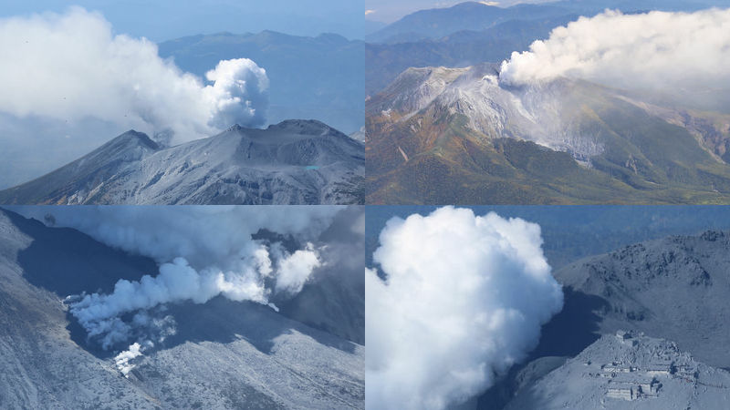
Survey aircraft "Candidate III"Was taken to grasp the state of the local situation and the disaster situation by rescue activities etc.184 aerial photographs are releasedIt is being done.
Information on Ontake volcanic activity
http://gsi-cyberjapan.github.io/ontake/#11/35.8637/137.4822
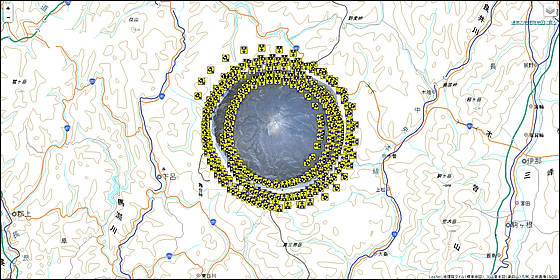
What kind of photos can actually be viewed is as follows, and the EXIF information includes GPS information and so on.
Also, apart from this, "Odaigayama no Ohara - Otaki Falls Top - Kenzekenfen (Mountaintop) - Second Pond Ichinosaki Tanohara [Mountain Records] - Yamareko"From the situation just before the eruption, the movie / photograph when the eruption was encountered near the ninth consecutive Okuninya has been released. In particular, the following two movies are contents that can clearly identify the magnitude of the eruption, "Droplets seem to be raining harder to keep searchingI can clearly understand what it means like "
Ontake2014 1 - YouTube
Ontake2014 1 2 2 - YouTube
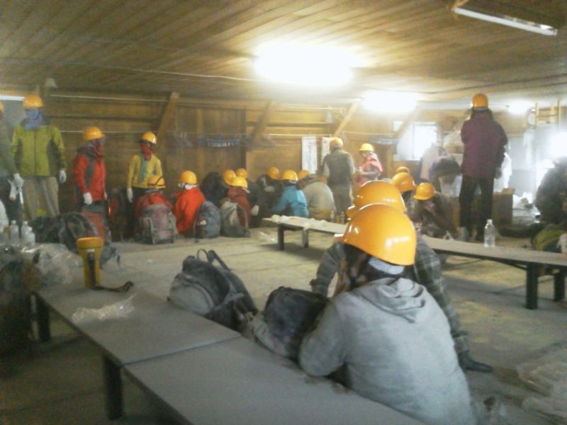
"We really appreciate getting information on evacuation guidance from borrowing helmets at Otaki Sanzanto Sanso," and the state inside is also released
Related Posts: