I tried participating in a project "Mapillary" that makes every way around the world a street view
Street view which can confirm what kind of building there is without going to that place is very convenient,Street view carThere are many places such as the way that can not pass such as unexplored. A spectacular project that makes street view everywhere in the world "MapillarySo, using a dedicated application can easily open your favorite places on a smartphone with street view, so I tried it immediately.
Mapillary | Crowdsourced Street Photos
http://www.mapillary.com/map
Mapillary is a service that allows you to publish pictures taken with smartphones on the site as street view, and the exclusive application "Mapillary" is compatible with both iOS and Android OS. So, using iPhone 5s, I immediately shot a picture and released the original street view.
◆Application download & account registration
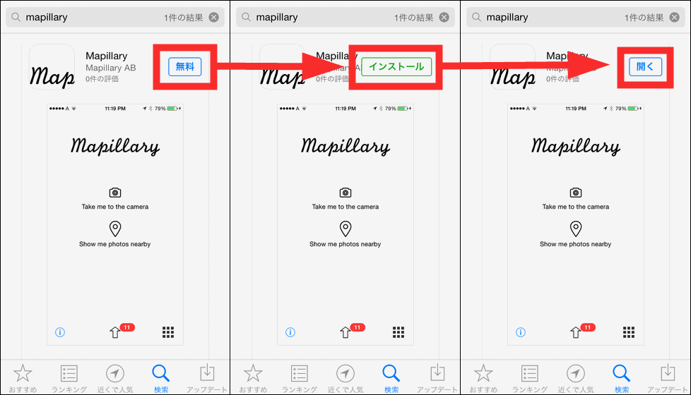
On the App StoreMapillary"And then tap" FREE "-" Install "->" Open ".
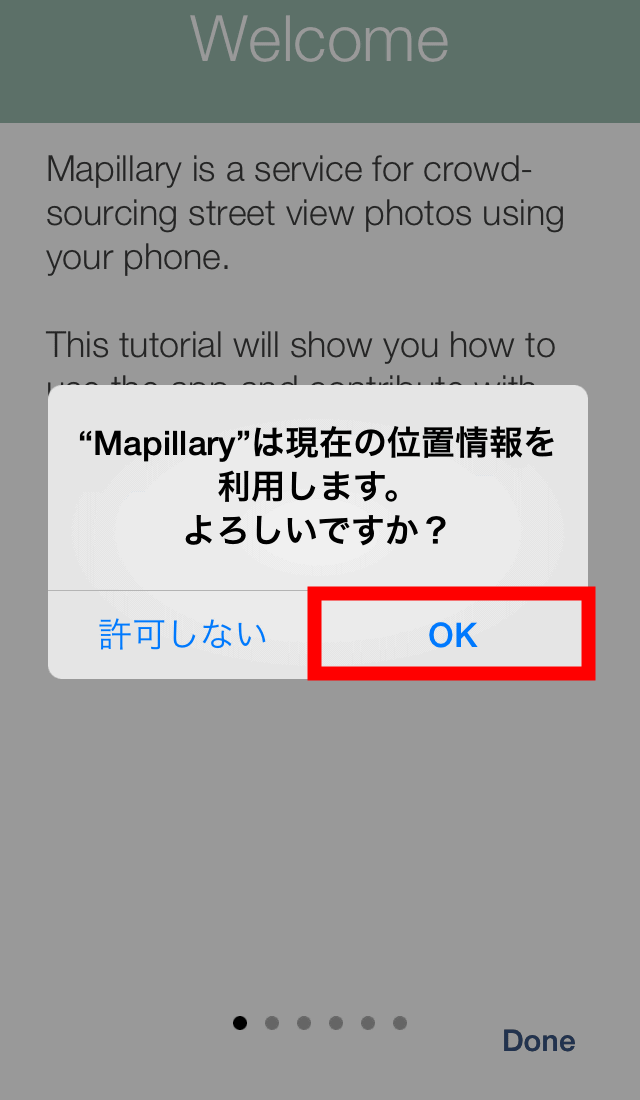
Tap "OK".
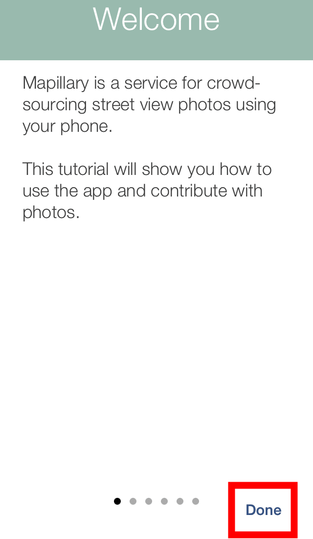
The tutorial begins, but you can check the tutorial itself later, so tap "Done" in the lower right.
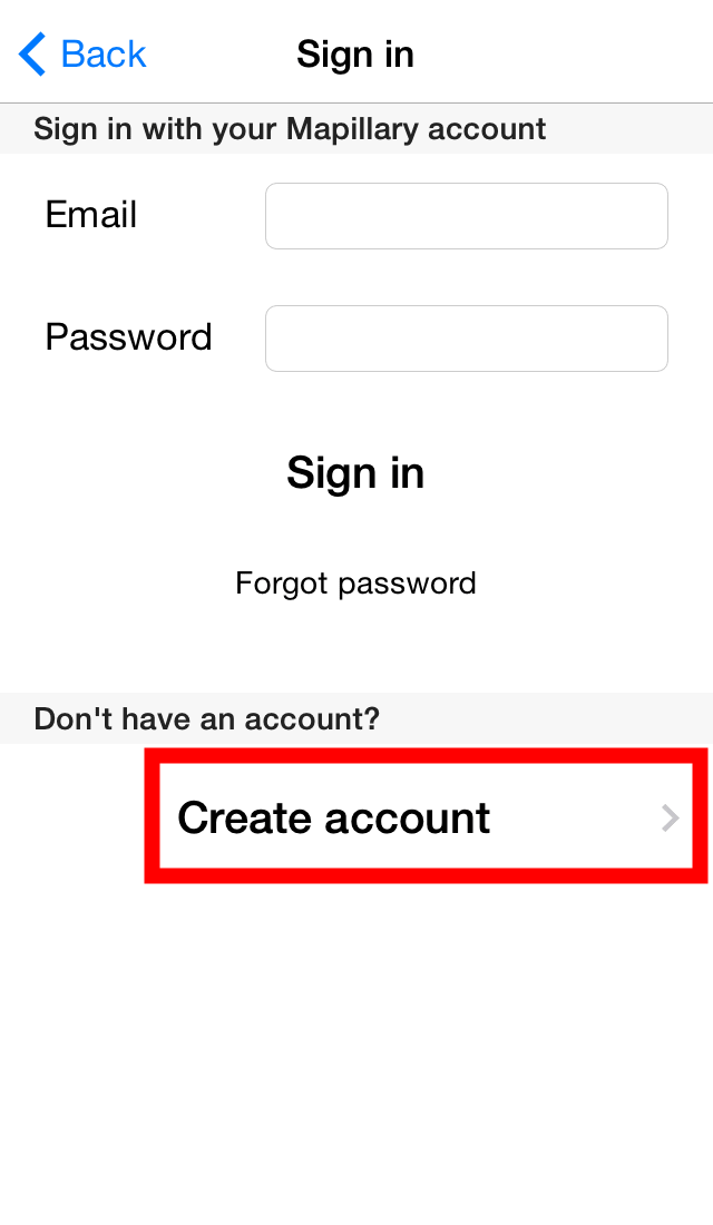
You will be asked to sign in with your Mapillary account. To create an account, tap "Create account".
After entering your e-mail address · user name · password, tap "Sign up".

After signing up, tap "OK" to automatically sign in with the account you created.

◆Take a photo and try it out
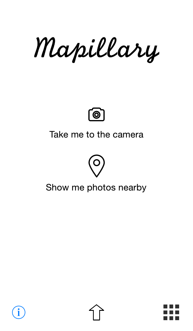
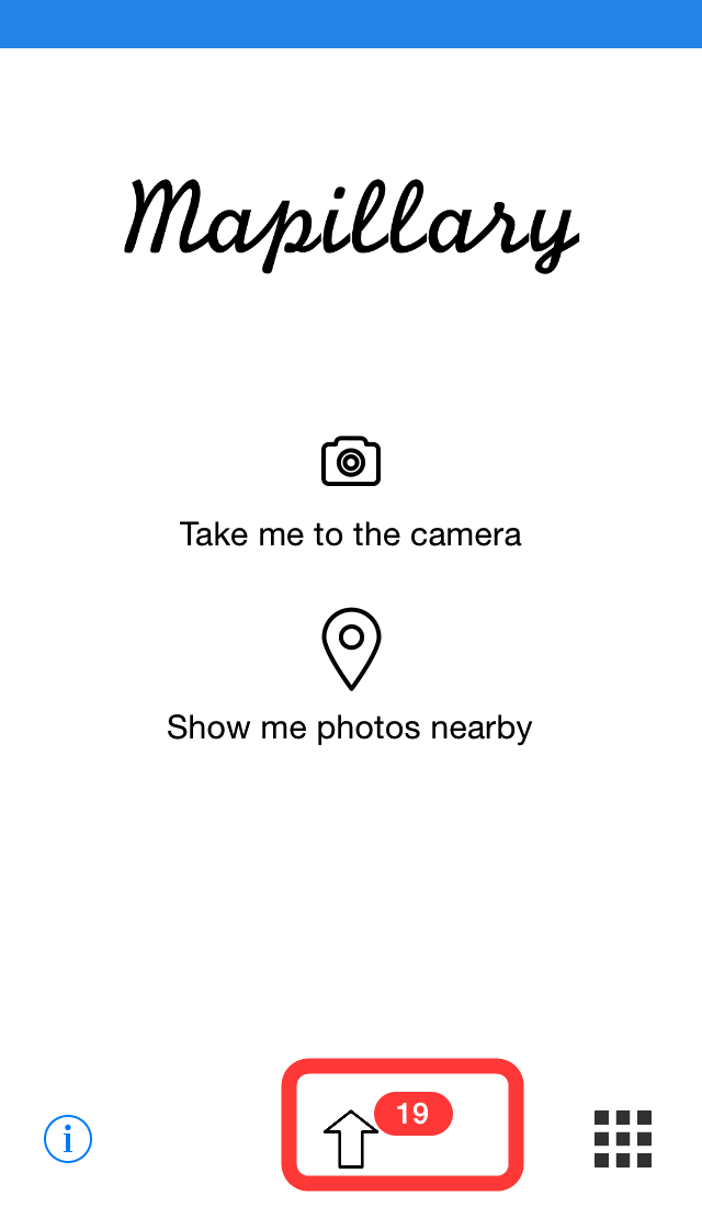
This is Mapillary's top screen.
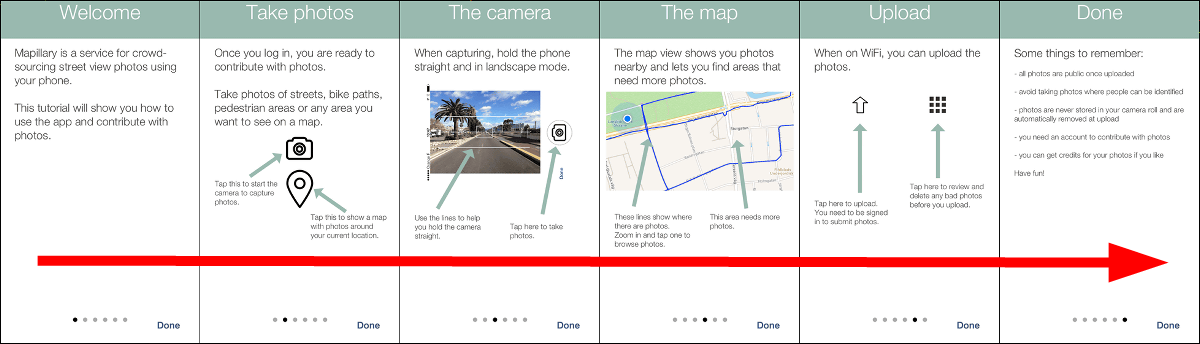
Tap the "i" icon in the lower left if you want to know the detailed usage.

As the tutorial begins, swipe and read it.
· Pedestrian Mode
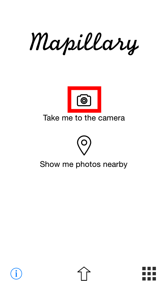
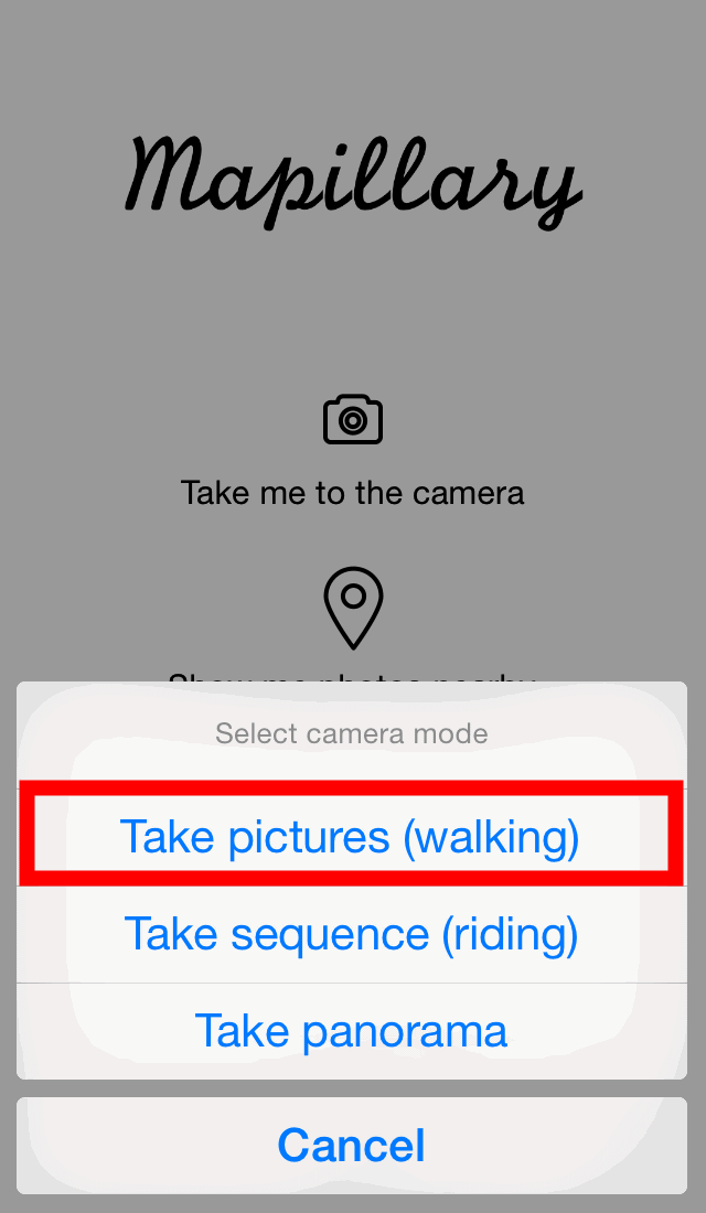
Let's create a street view at once. Tap "Camera" icon on the screen.
First of all, I will use "Walking mode" which shutter is released at my favorite timing. Tap "Take pictures (walking)".
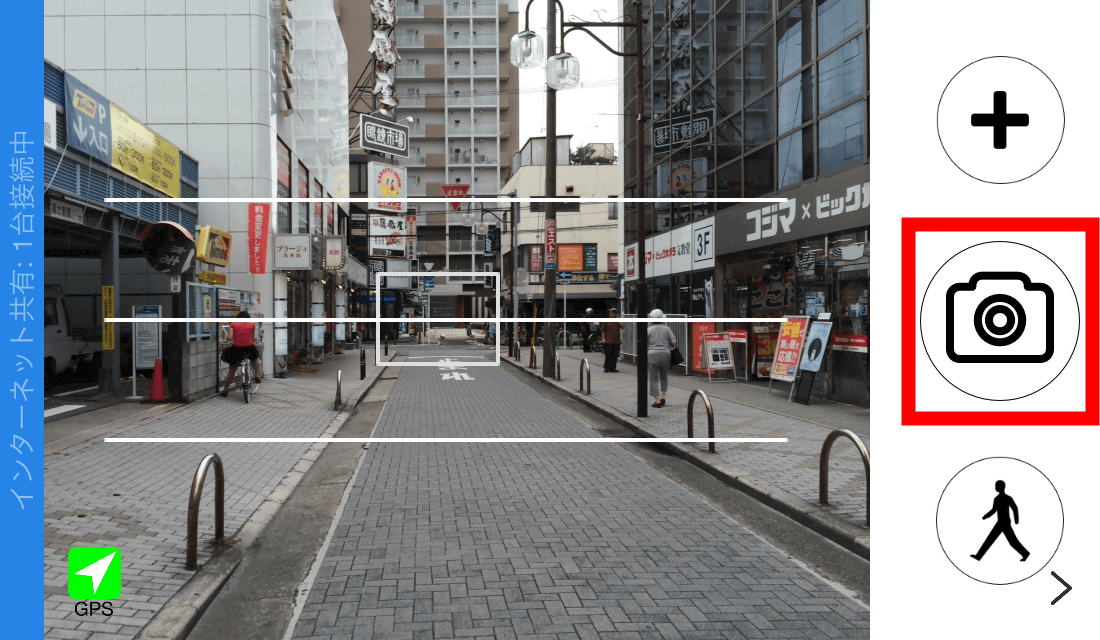
Then the camera started up on the side screen. When you confirm that the icon in the lower right is "Walking mode", start shooting by tapping the "+" icon. Each time you tap this "+" icon, a new street view shooting will start.

After that, you can rely on the horizontal line of the screen to tap the "camera" icon, walk, tap and repeat walking is OK.
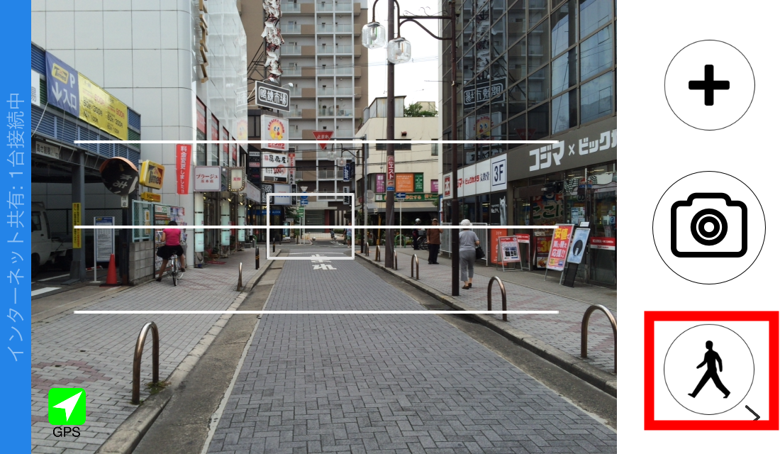
When you take a picture with Pashapa sharp tap the "Walking mode" icon in the lower right.
Tap "Done" to finish shooting.
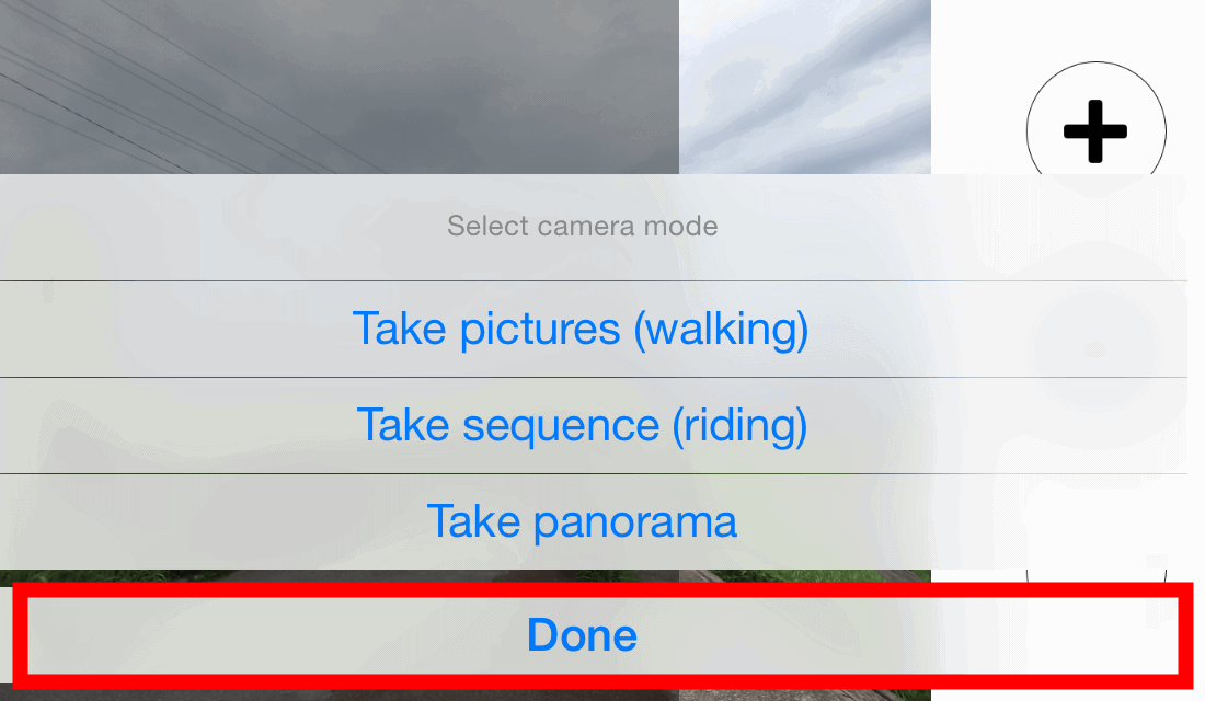
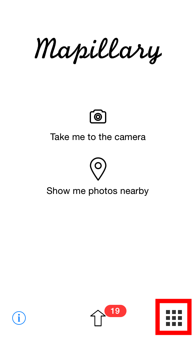
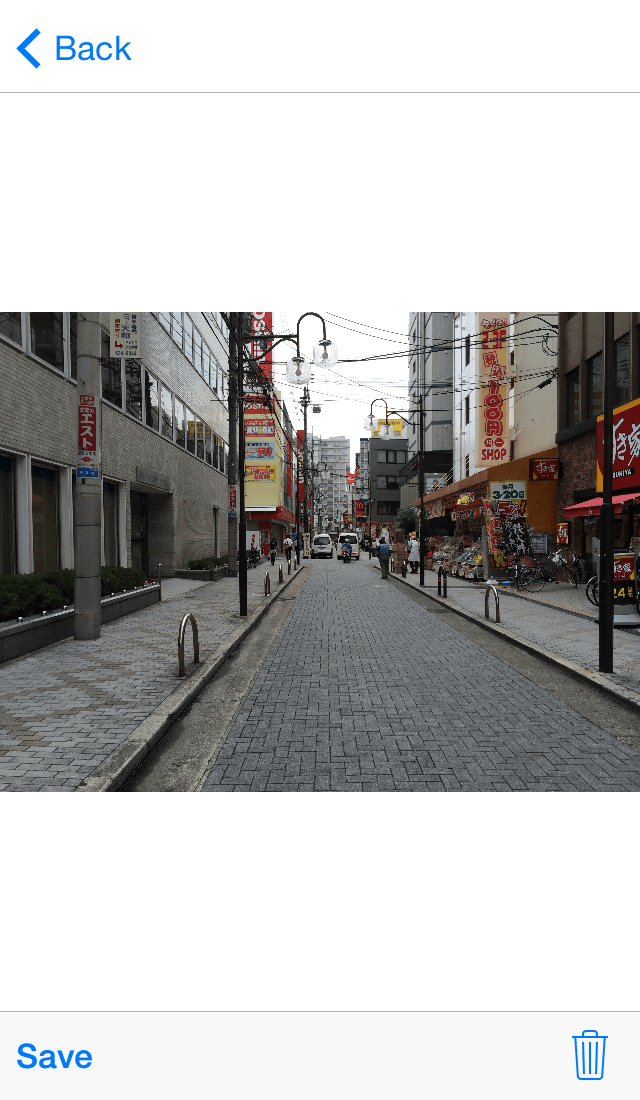
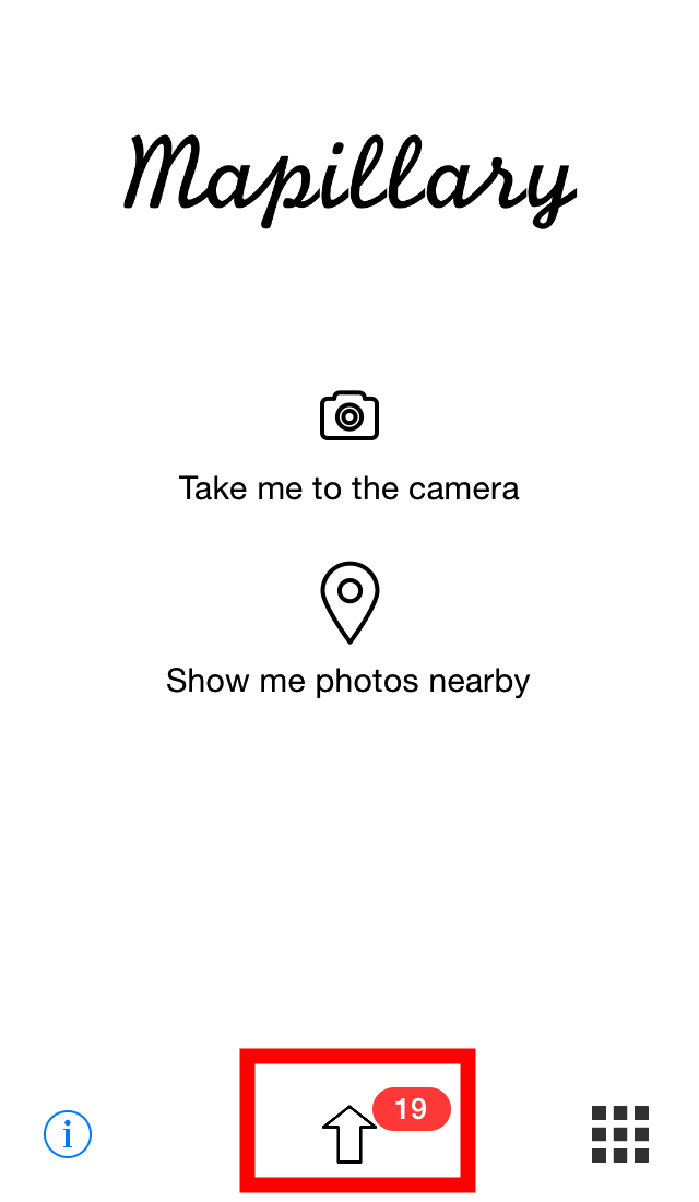
19 pictures were taken.
Tap the icon in the lower right to see the picture taken.
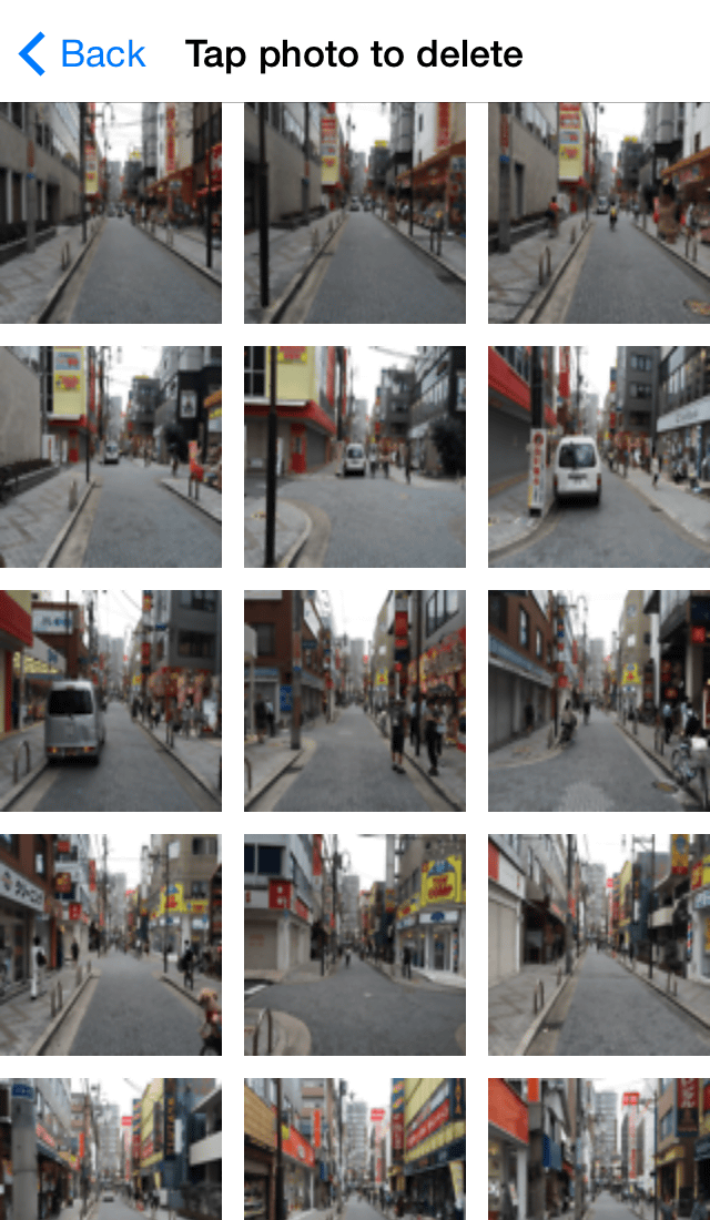
The pictures taken with such feeling are displayed in the grid.Mapillary uploaded photos can not be retrieved laterCreative Commons LicenseAscribable as publicFor photographs to be uploaded, consideration is necessary for privacy, such as avoiding things that passers-by can see. Consequently, checking and selecting photos is a must. Tap the thumbnail picture displayed on the grid to check the photo OK.
Tap "View photo" ... ...
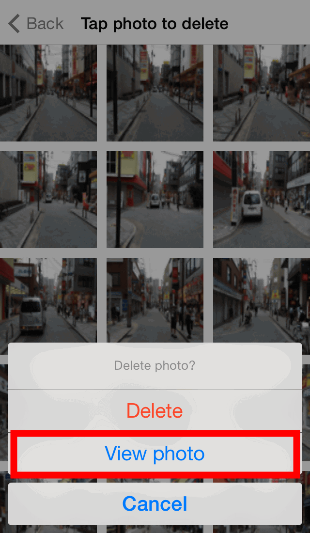
You can enlarge the photo. If there is no problem tap "Back" at the top and return to the grid display screen. If there is a problem and you want to delete it, tap the "trash can" icon at the bottom right.
Upload photos when deletion of problematic pictures is completed. Tap the "↑" icon at the bottom of the screen ...
Then tap "Upload".
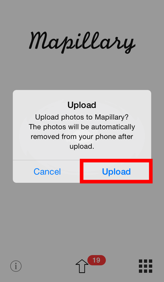
Wait for a while as the photo uploading will begin. Please note that you need to connect to Wi-Fi line instead of mobile line when uploading photos.

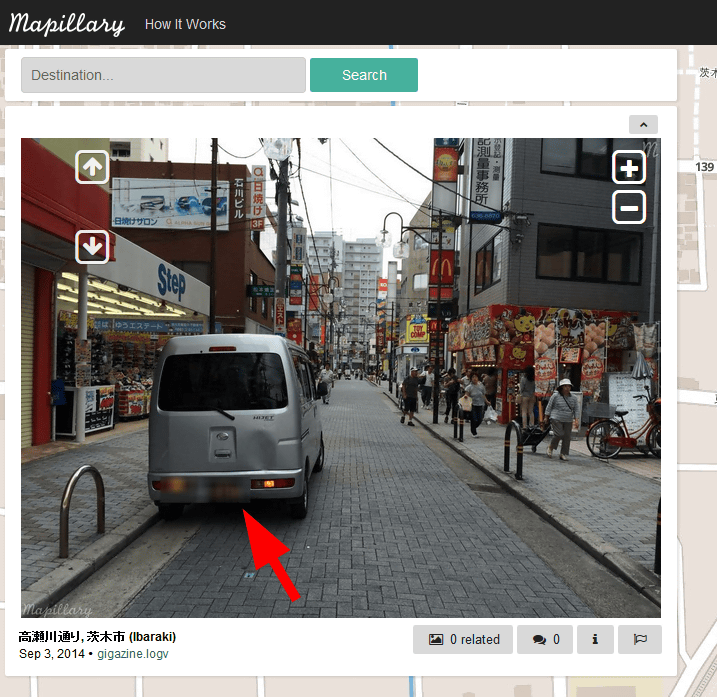
When you upload a taken photo, a street view will be created automatically and it will be published on Mapillary's map. To see the map, enter the key phrase of the map you want to see in the search window of the site below and click "Search" OK. It also supports searching in Japanese.
Mapillary | Crowdsourced Street Photos
http://www.mapillary.com/map

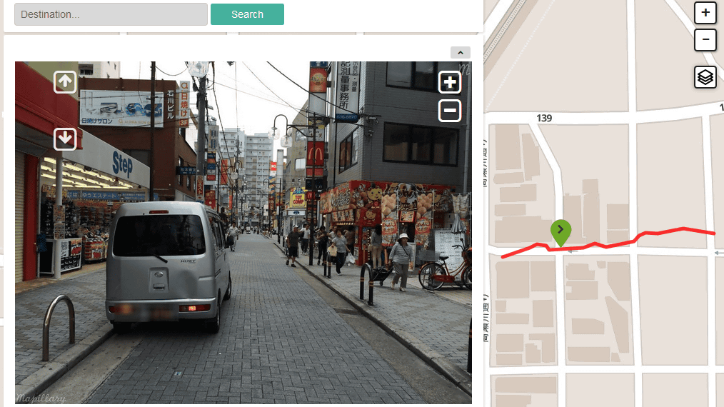
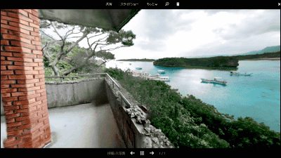
It seems that it takes about 30 minutes to 1 hour until Street View is officially released. The street view we made this time is on Mapillary's mapLike thisIt was published in.
Mapillary | Crowdsourced Street Photos

In Mapillary, an automated license plate has already been installed with an algorithm for "blurring processing".
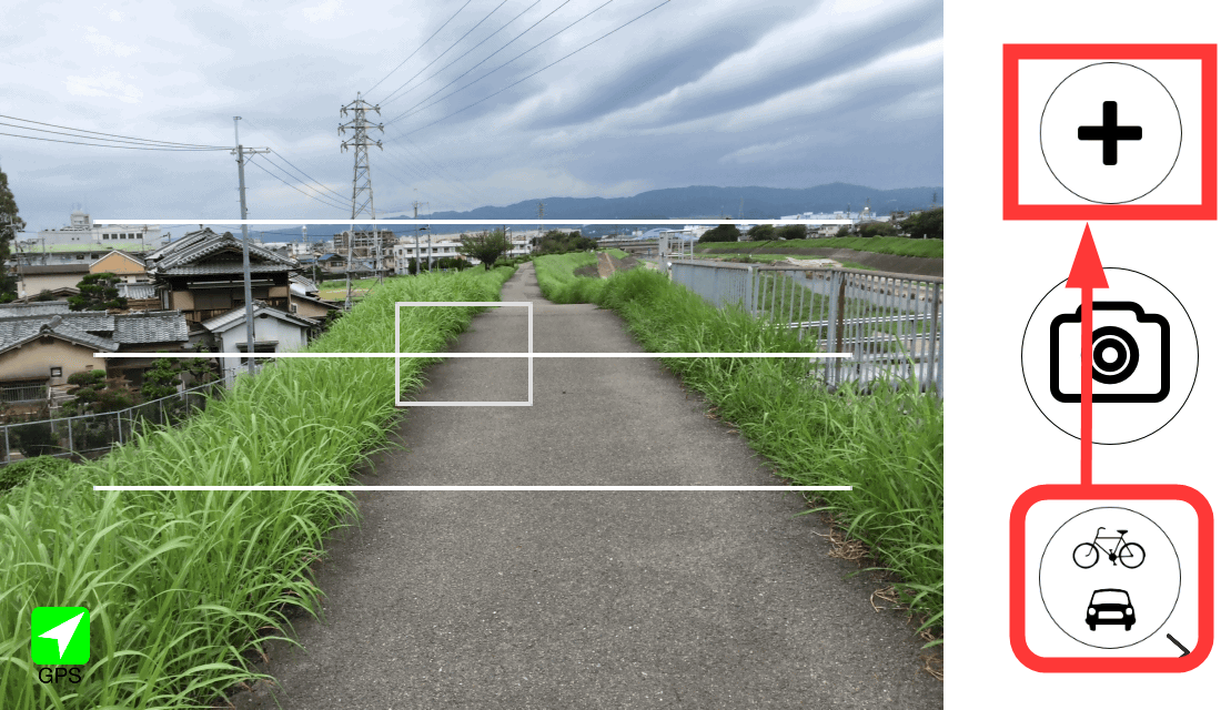
· Automobile / bicycle mode
Mapillary has a car / bicycle (riding) mode in which shutters are automatically shut off at regular intervals for cars and bicycles. Tap the camera icon ......

Tap "Take sequence (riding)".

After confirming that the icon in the lower right is "riding mode", start shooting by tapping the "+" icon.
Because photos are taken automatically every time a certain distance from the GPS position information is taken, it is possible to take pictures for Street View just by moving the iPhone 5s in the direction of travel.
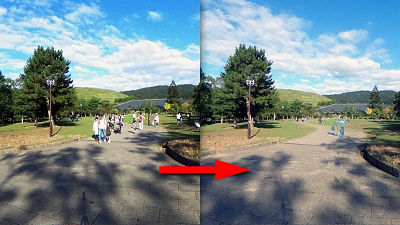
The real value of Mapillary is to create and publish a street view of the road where Google's street view car can not enter. I immediately tried to create a street view by running a riverbed by bicycle in the car / bicycle mode.
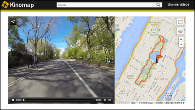
Mapillary | Crowdsourced Street Photos

You can advance the screen by clicking the arrow icon in the Street View below the map.
Mapillary recommends taking pictures and uploading more and more for the spectacular goal of converting every way around the world into a street view. In riding mode you can shoot almost automatically with just fixing the smartphone to the car or bicycle so it's easy to make a great contribution to the purpose of Mapillary even if you shoot for the purpose of logging the drive so you can make your favorite driving course I recommend you to make it street view and release it.
Related Posts:


in Web Service, Review, Posted by darkhorse_log