I saw the construction progress of the Yodogawa Bridge (Akagawa Iron Bridge) and Osaka Dongbashi which the pedestrian / bicycle and railroad crossed side by side
A temporary bridge (Akakawa temporary bridge) where people and bicycles can be beside the railroad is installed in Yodogawa Bridge (Akagawa Iron Bridge) of the Joto Cargo line connecting Osaka City Higashiyodogawa Ward and Asahi District, and for a long time the passageway of the local people As it was used as a passenger route as the Oshima Cargo line is largely the eastern line, people can not pass by October 31, 2013. For five months from then, I was able to discover the construction of Osaka Torbon, just before the traffic was banned, so I tried to check the current situation in the form of before-after.
The place is around here, the railway bridge on the left side of the map is Yodogawa Bridge. The nearest stations are Higashi Yodogawa (Northern coast) side of Awaji station in Hankyu, Asuka ku (south coast) side far from any station the city bus or Miyakojima bus will be used.
◆Akagawa temporary bridge pre-closure
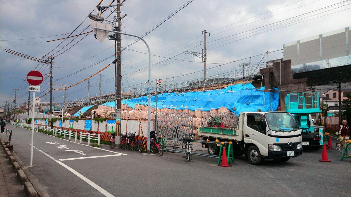
First of all, from the photos when I visited in October 2013. It is approaching from Asahi Ward side, this is where the Jotoong freight line crosses Seongbuk Park Koton-dori. Blue sheets are hung on the filling on the other side.

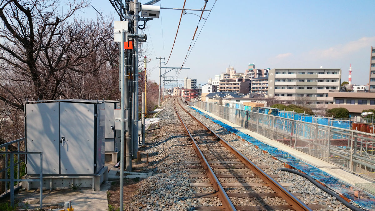
The Jotoong cargo line is a single line, but the Osaka East line becomes a double line, so construction is under way for that.
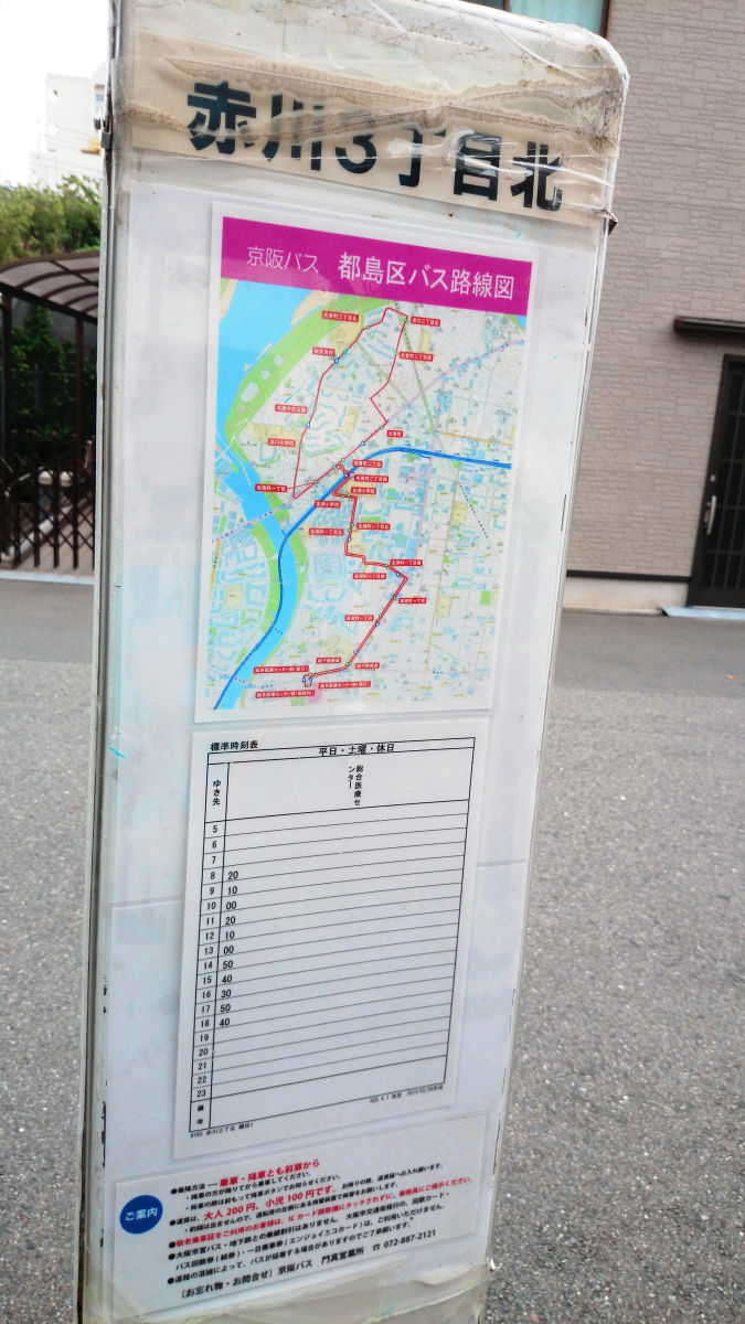
The nearest bus stop to the bridge was Miyoshima-ku bus "Akagawa 3-chome North"Operation stopped on March 31, 2014. For this reason, the "Akagawa 3-chome" bus stop of Osaka-shi bus (10 lines, 34 lines, 57 lines) is nearest.
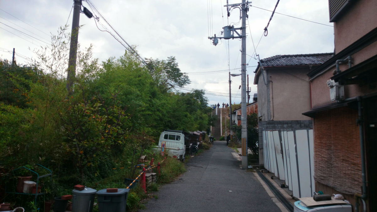
A stairway to the embankment heading for the bridge.
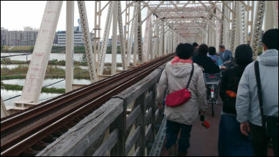
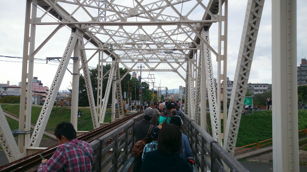
When it got up, it looked something like this, so many people gathered that the temporary bridge will soon be abolished.
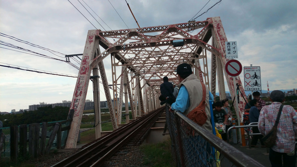
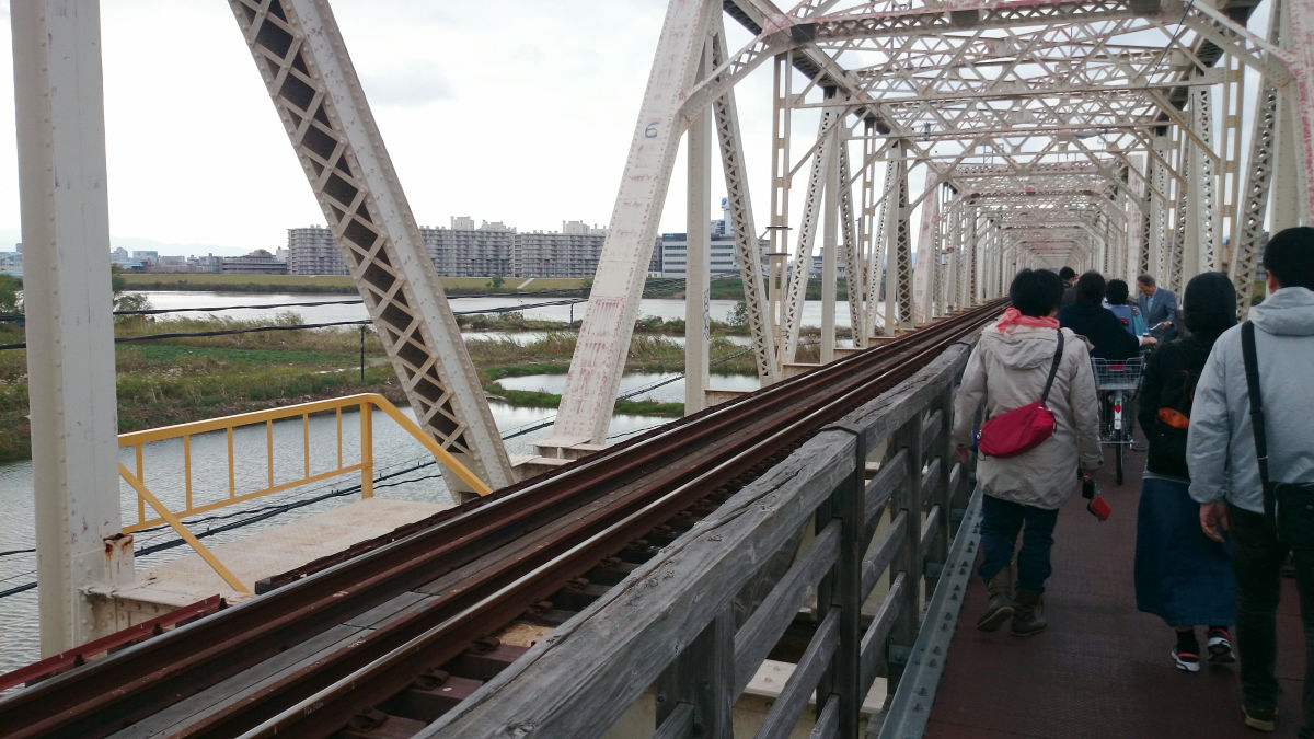
People are countless on the bridge.
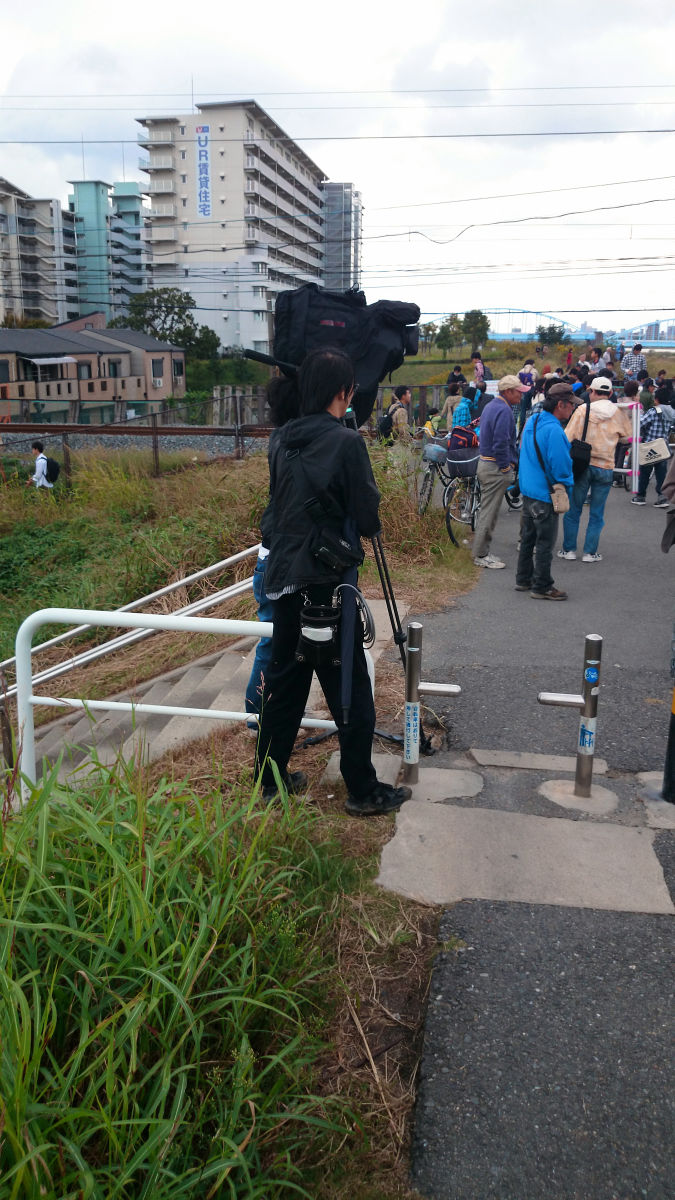
A TV camera crew was also coming.
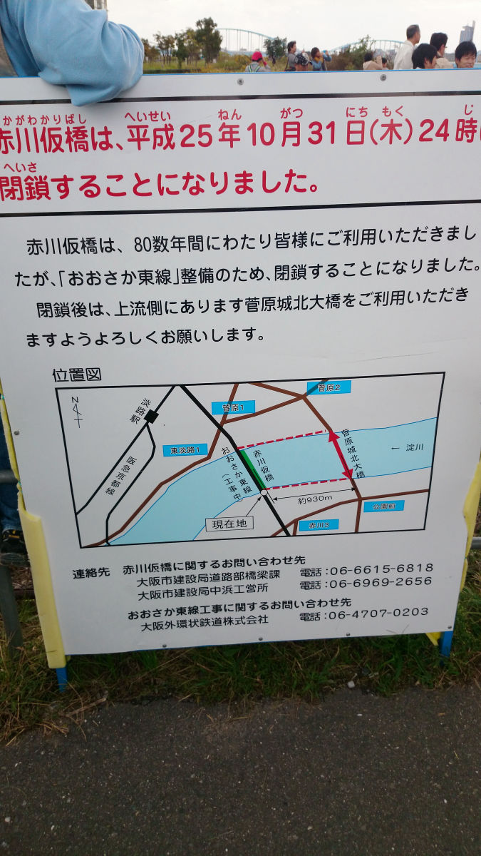
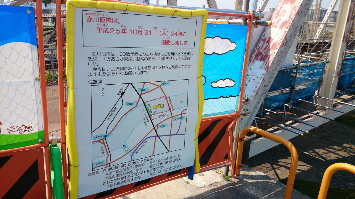
This is a closing notice.
Temporary bridge was wooden in the past, but iron plate was laid so as to make it easier to move in the late period. (Thank you very much for not being iron made.
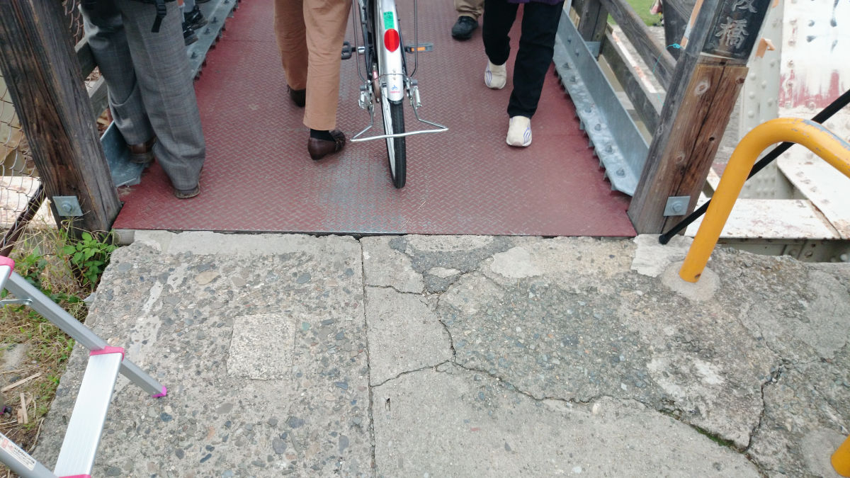
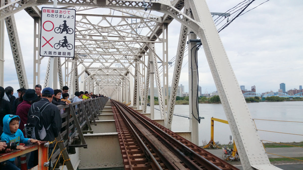
The cargo line is running just like this. Rather, the part of the temporary bridge was originally used as a bridge for people and bicycles to be used as a double track.
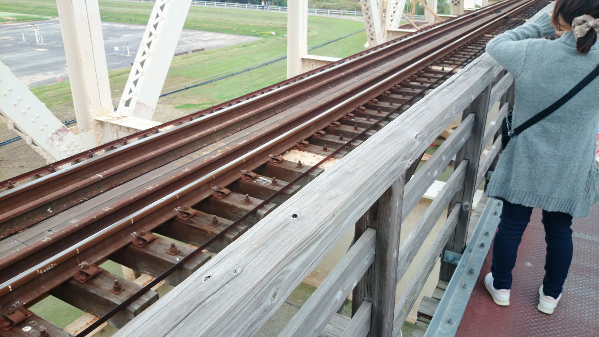
The temporary bridge is the number of people who can not make a mistake.
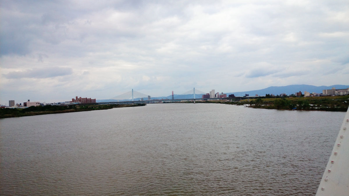
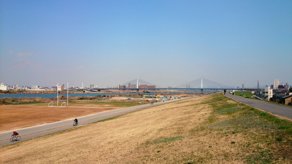
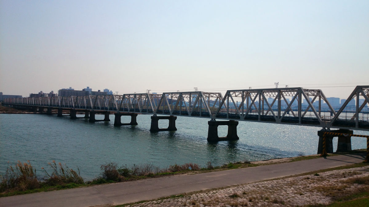
Looking east from the Yodogawa Bridge, you can see the Sugawara Jojima Ohashi Bridge. That bridge is being guided as a detour after the temporary bridge closure.
It took about 10 minutes to cross the bridge.
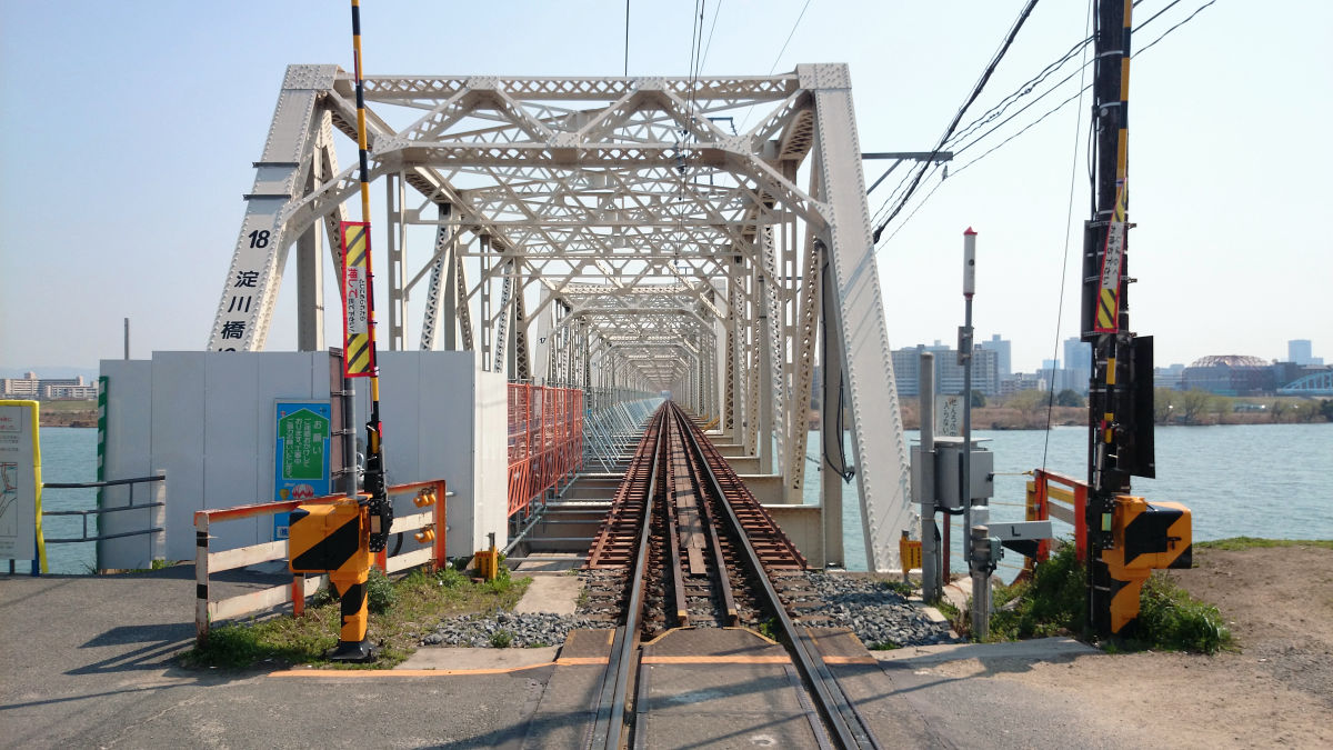
Looking back, the railway tracks are straight in this way.
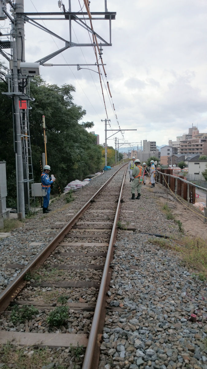
Construction was also proceeding on the north side of the bridge.

And there will be a freight train coming up there. When looking at the camera, it was not a "freight train" but a single locomotive.
EF 66 113 single line crossing the Yodogawa Bridge (Akagawa Iron Bridge) - YouTube
When construction is over, the passenger train will run here.
◆Akagawa 5 months after closing the temporary bridge
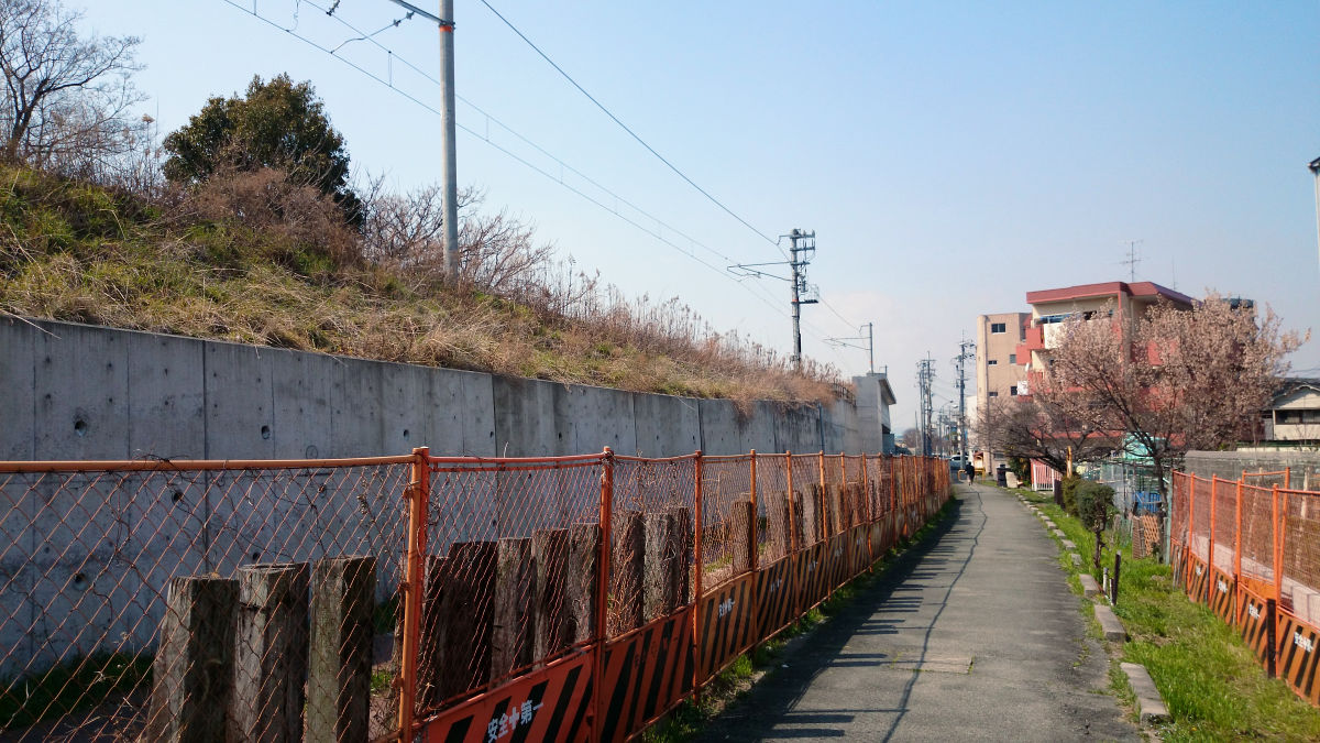
After five months from closing, I went to see if something changed except that I could not pass the bridge, but the slope was first maintained beside the stairs going up to the embankment.

Notice of closing.
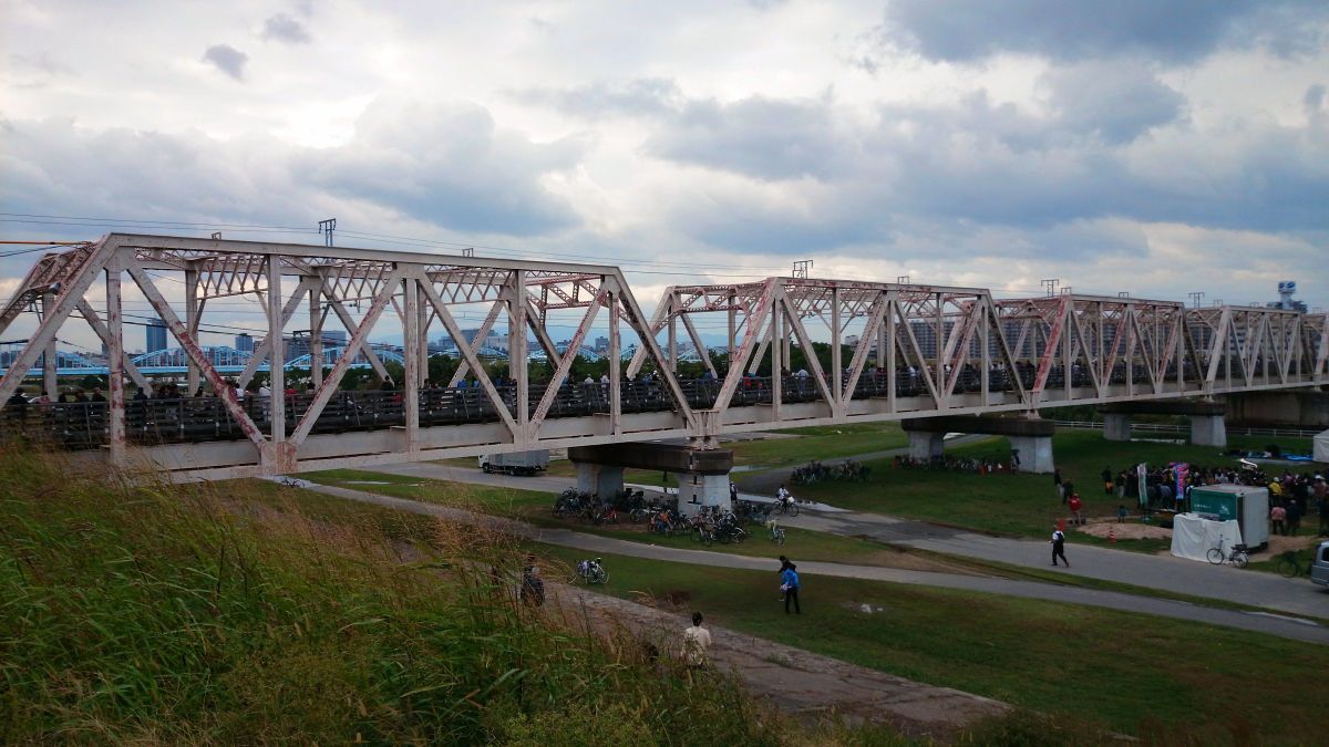
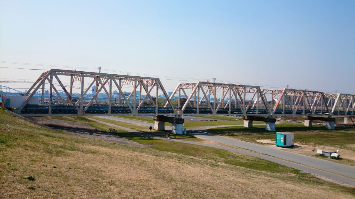
The appearance is the same, but people can not cross the bridge by walking anymore.
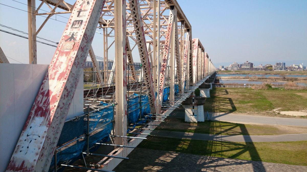
Look at it from the bottom.
The construction seemed to be steadily progressing. In the future, we will change the freight line once laying a track on the temporary bridge, and that the tracks currently in use will be maintained.
So we can not cross the Yodogawa bridge anymore, so we head for the Sugawara Jojima Ohashi Bridge upstream.
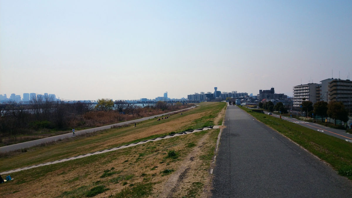
Walking on the sidewalk on the leve We arrived at the south bank side of Sugawara Jojima Ohashi in about 15 minutes, so that we can go up to the bridge with a slope from here. I thought that this slope was part newly made for use as a detour, but there was a story that it was one that was installed before.
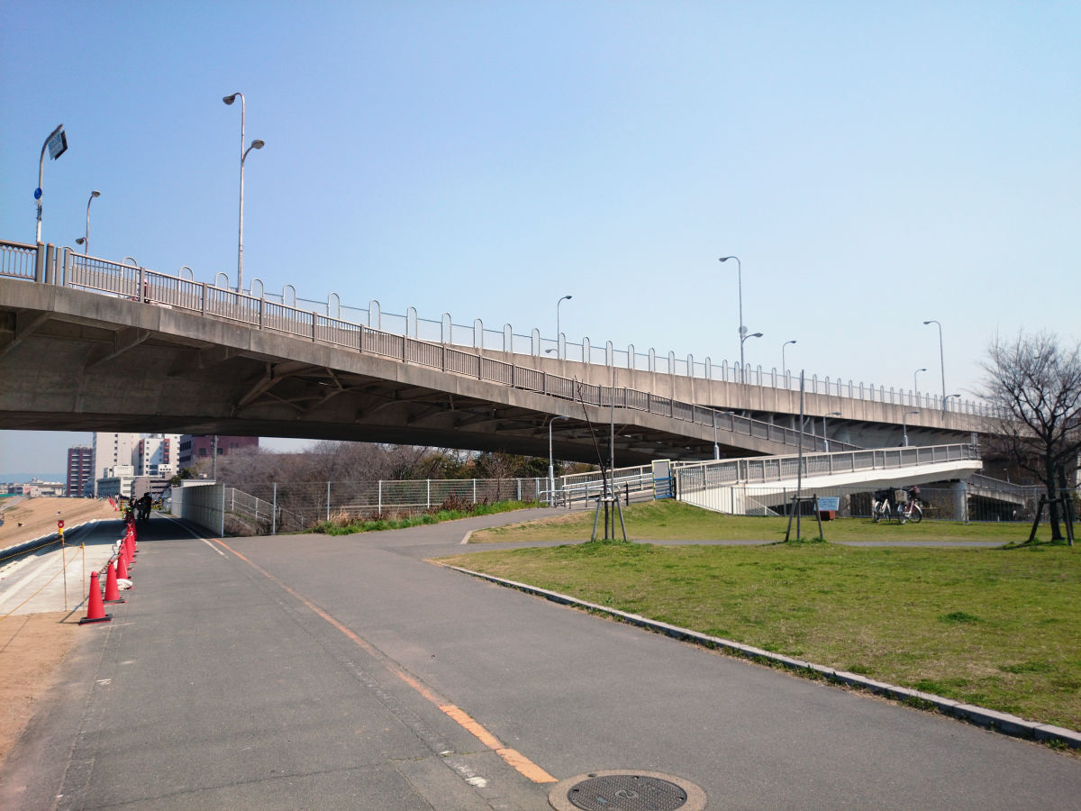
The length of the bridge should not be much different from the Yodogawa bridge, but the impression is quite different.

The sidewalks are maintained on both sides of the roadway.
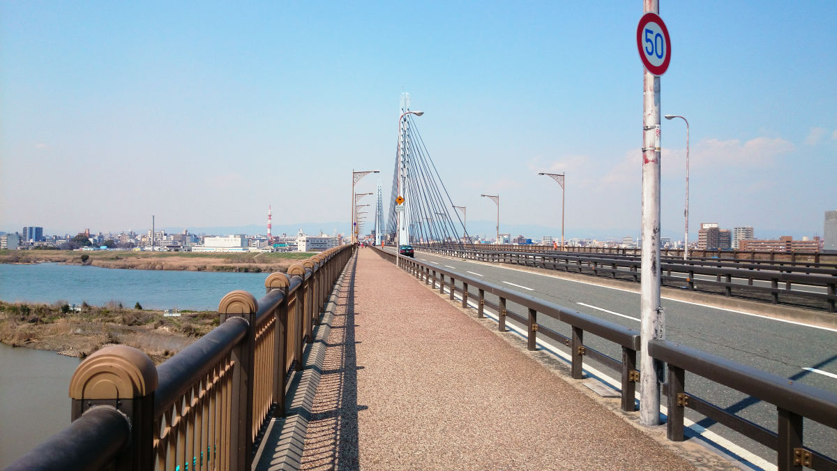
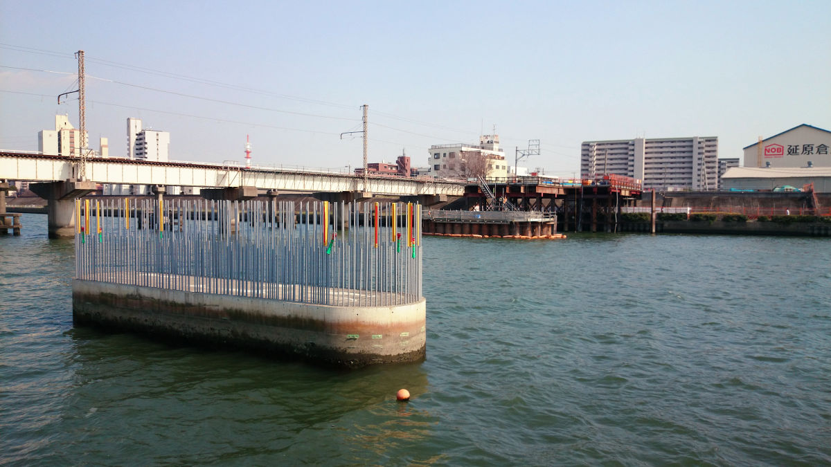
Looking at Yodogawa Bridge from Sugawara Jojima Ohashi is like this.
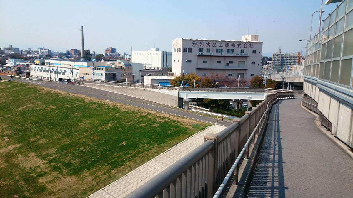
Like the south bank side, the north bank side can get off directly to the boardwalk along the slope via the slope. This slope was developed to allow direct access from the embankment boardwalk, because Akagawa temporary bridge is closed and it becomes a detour route.
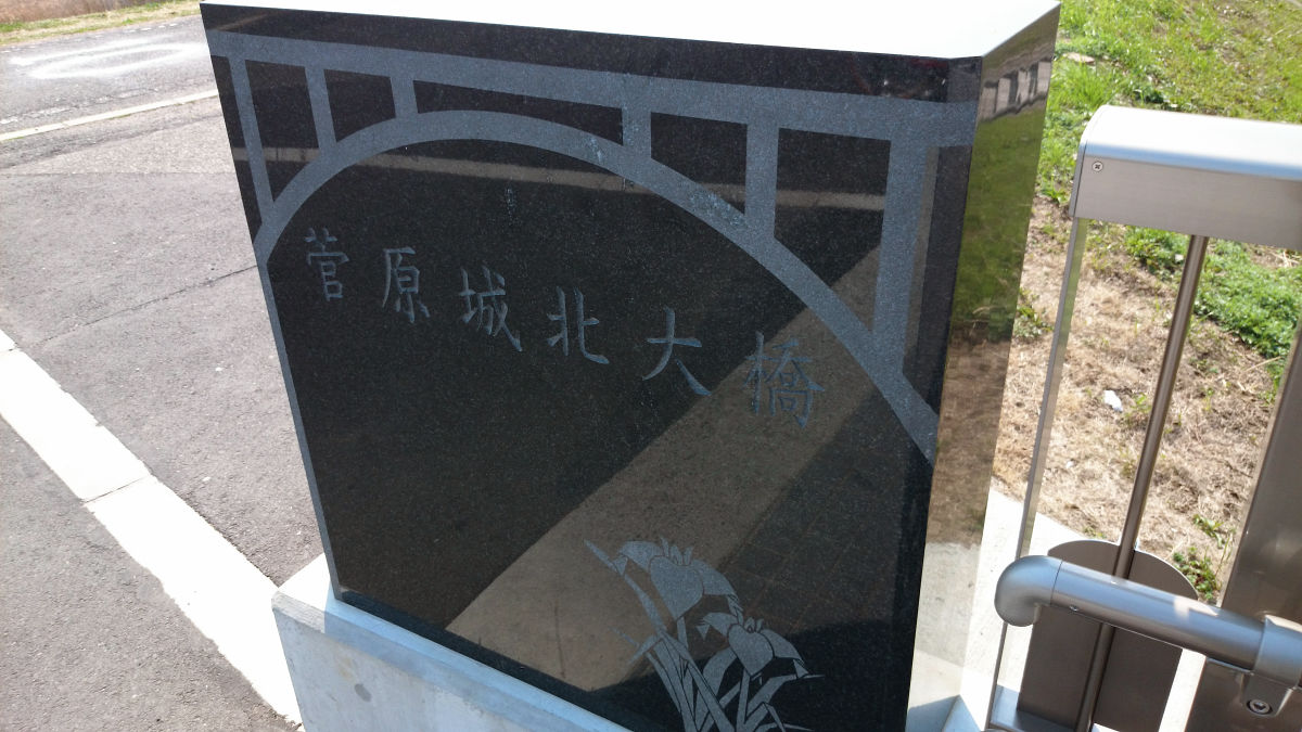
The stone carved the name of the bridge that was under the slope is quite new.
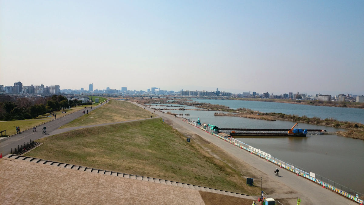
As I heard the sound of the cargo, I tried looking towards the Yodogawa bridge, where the cargo train connecting a number of container cars was running.
Arrived in the north bank of the Yodogawa Bridge in about 15 minutes.
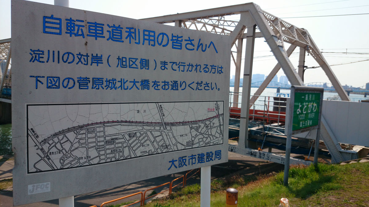
As mentioned above, the guide of the detour route is out.
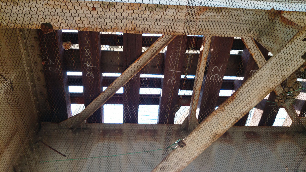
Above the bridge where the cargo train ran.
And on the other side, you can see that the construction here is steadily progressing.
This time I tried to chase the construction of the eastern eastern line further north.
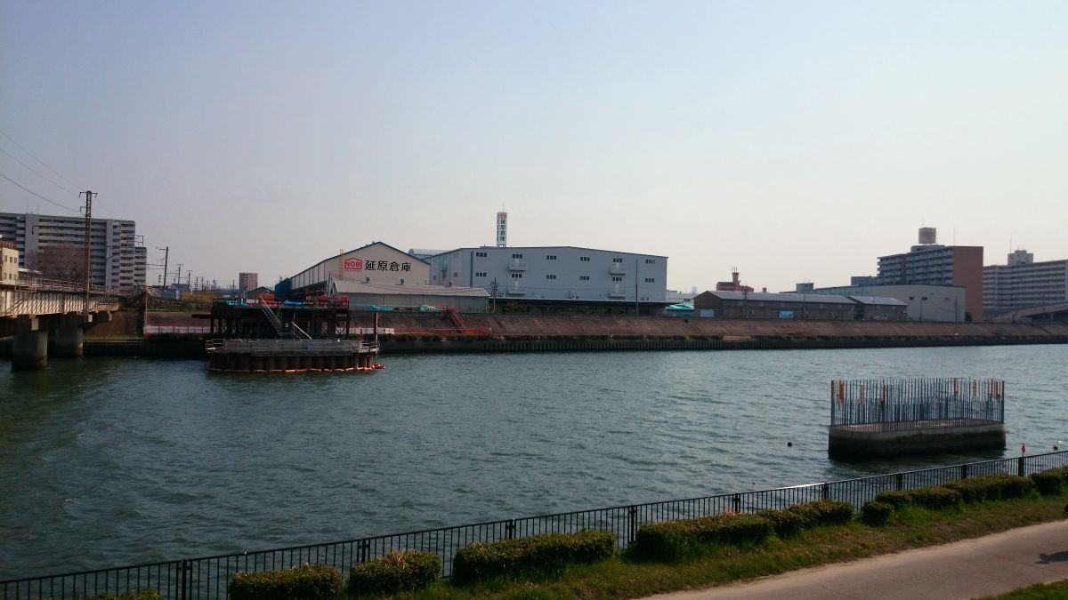
The Jotoong freight line which passed from the Yodogawa bridge to the north joins the JR Kyoto Line on the southwest side of suita station. However, the Osaka East line curves west around Kanzaki River and heads to Shin - Osaka station. In the map below, the area around the Kanzaki River arriving from the lower right corner of the railroad is a branch point.
At that point the bridge of Osaka East was just being made.

The bridge bridging on the left side belongs to the current cargo line. Just before the turn of the Kanzaki River, the Ogasaka line will be curved.
Since the situation was attached to the construction site with a photo, it is possible to grasp what kind of route is scheduled from here.
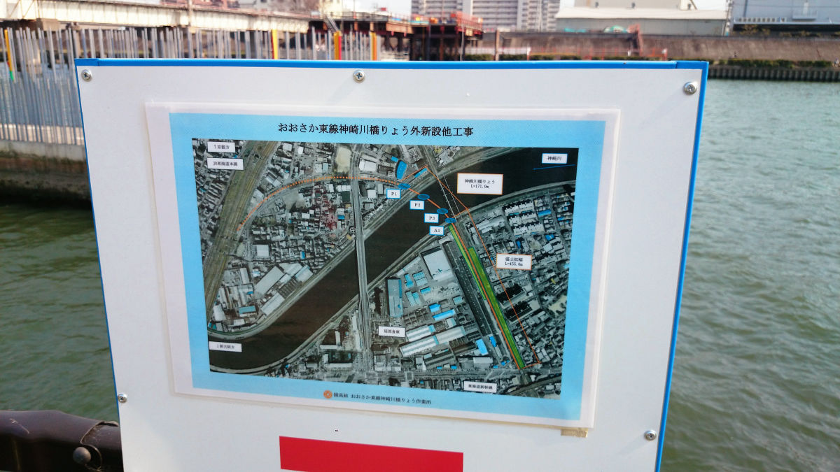
Following the previous picture, I'll try to follow the curve that Osaka Dragline draws. Even by looking at the map, you can see that inverted U-shaped land is suppressed from the lower right to the lower left.
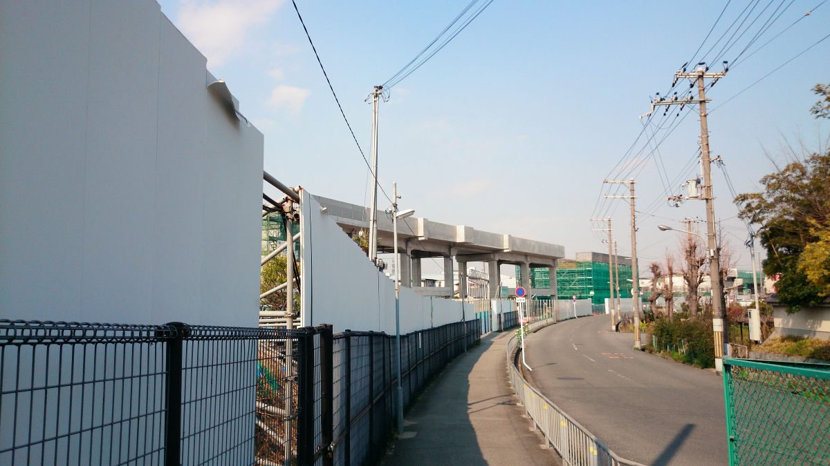
This inverted U shape is exactly Osaka - ku line route lane, and a bridge crossing the road already was set up at the intersection with the prefecture road No. 14.
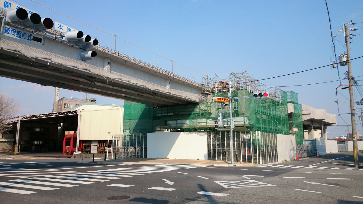
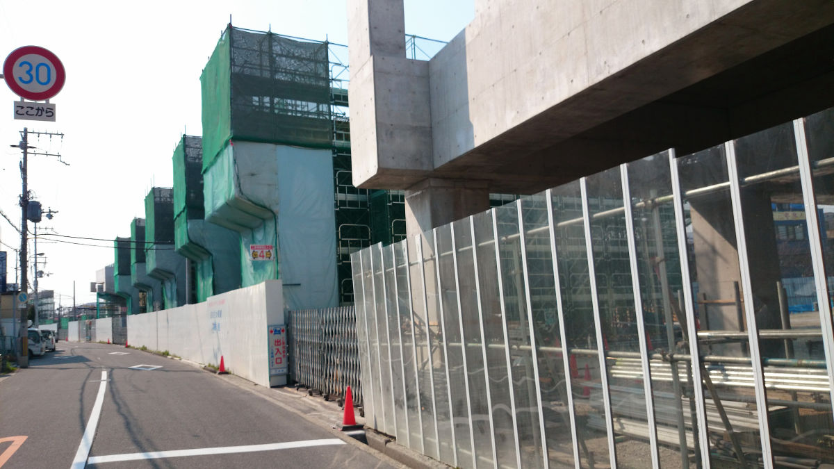
The bridge piers are continuing as I see the west side.
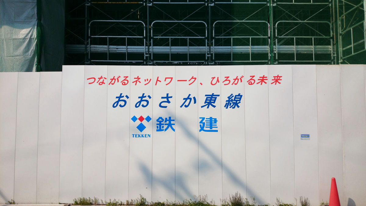
"Connecting Network, the Future Spreading Osaka East Railway Construction"
This area is named "Tokaido Line Bridge Work Area". The Osaka Dong Line approaching from the east side to the JR Kyoto Line crosses the JR Kyoto Line while staying elevated and takes a shape running parallel to the west side.
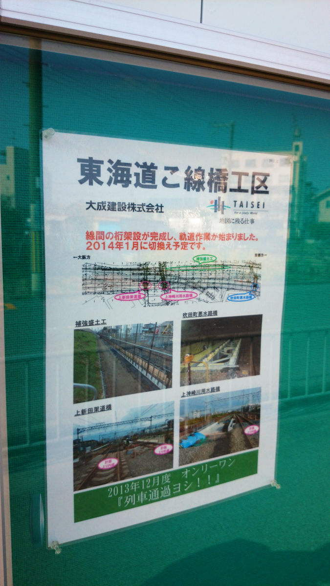
The area which approached the JR Kyoto line has been completed considerably.
The Osaka East Line is planning to set up a station at the most inflated position of this inverted U shape. Because the situation is updated more rapidly with Google Maps, the following photographs of those days are posted during the station construction.

The current situation looks like this on Google Maps.
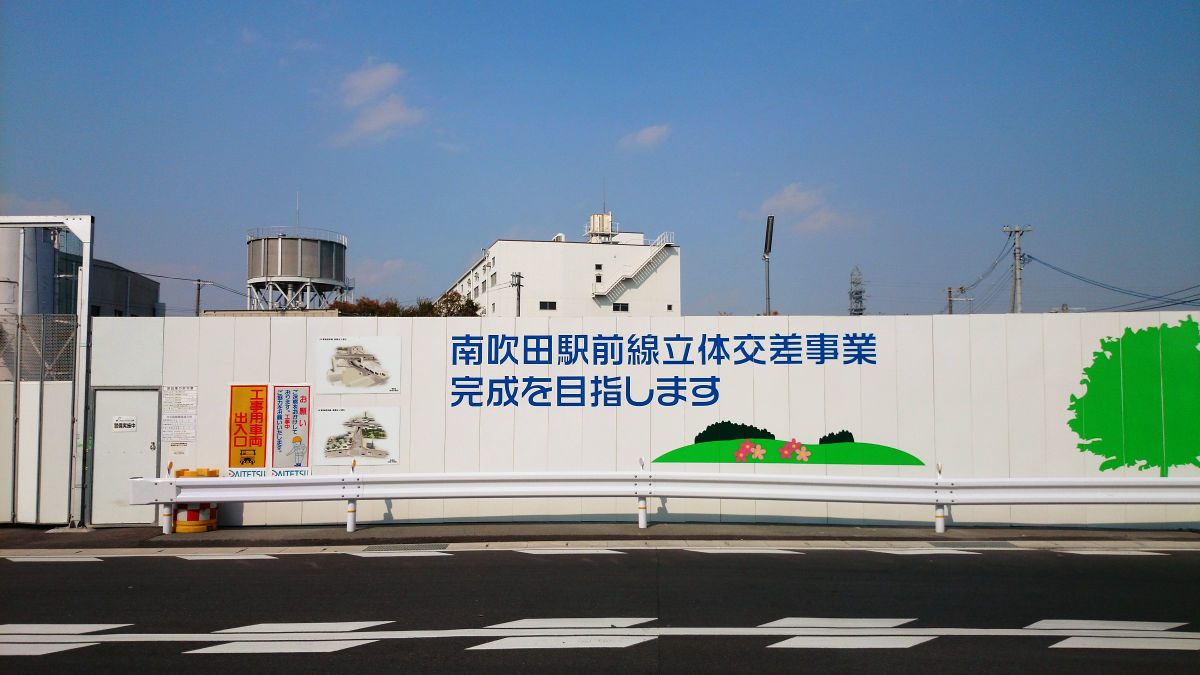
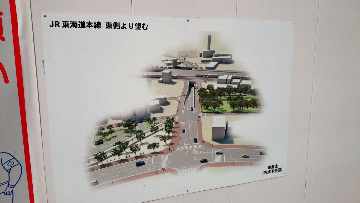
Therefore, Minobetsuda station front three-dimensional crossing project is done. In addition, the station name was tentatively named "Nishi Suita".
The road will pass through the railway in front of Suita City Waterworks Bureau on the western side of the JR Kyoto Line and go through to the east.
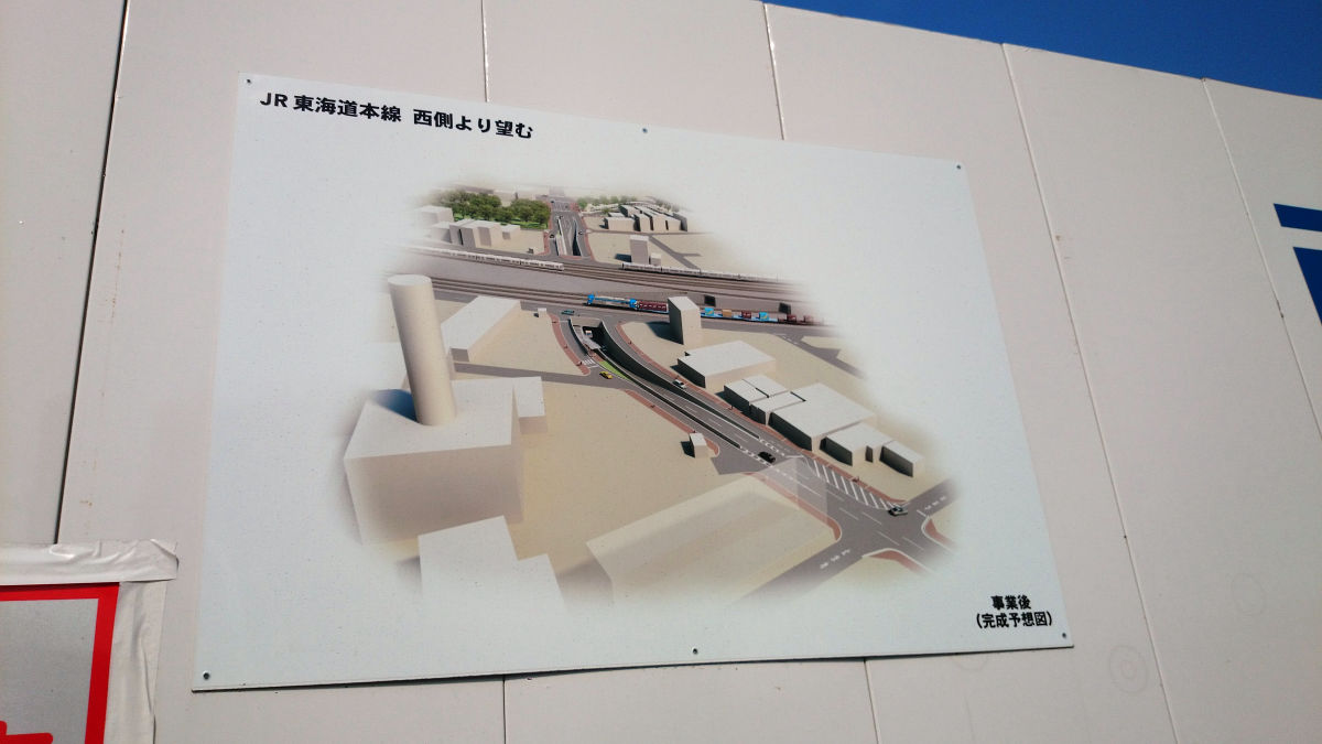
On the east side, it seems that a roundabout in front of Minabeida station will be made.
The section currently under construction is scheduled to open at the end of fiscal 2018.
Related Posts: