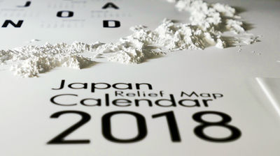
Intuitively re-recognize the true appearance of the Japanese archipelago with the three-dimensional map 'Kunya Map Mini' that allows you to visually understand the height of mountains and the size of the plains.
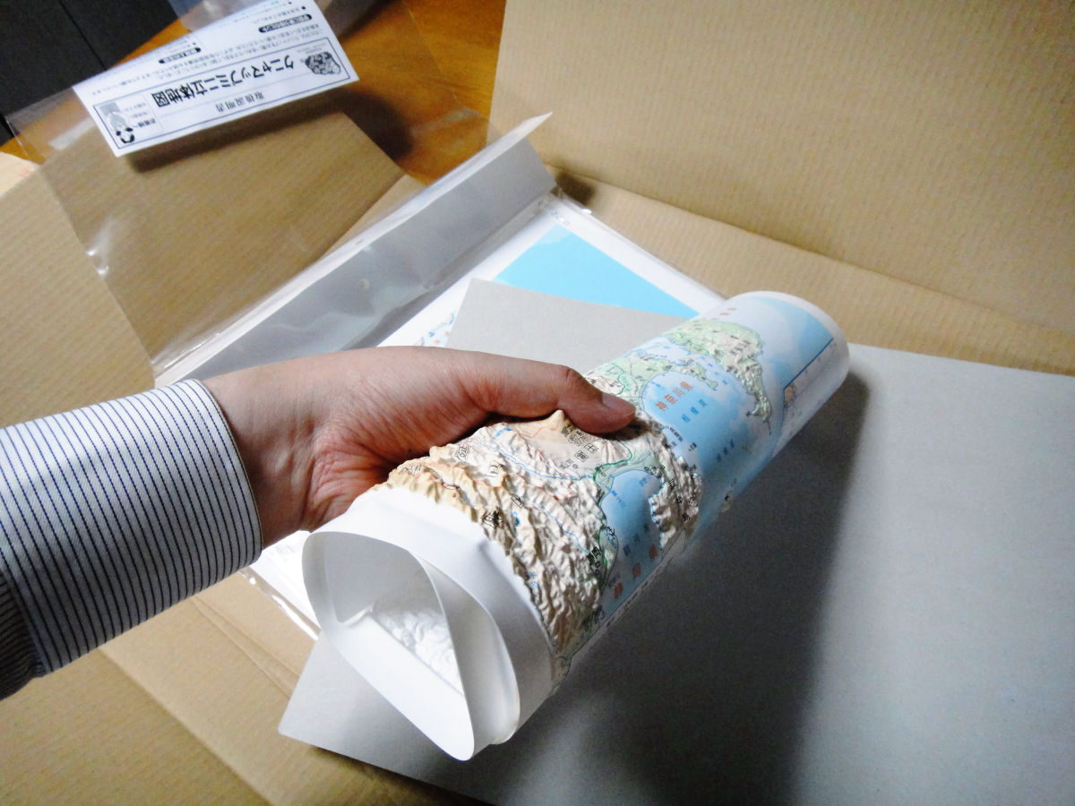
This three-dimensional map ' Kunya Map Mini ' is ideal when you do not understand what is happening three-dimensionally even if you look at the contour lines. As the name suggests, it is made of the soft material of Knyakunya, and it can be carried around as a whole. It will be possible to intuitively understand what is going on.
So, I actually bought the parts for the whole of Japan, Hokkaido, Tohoku, Kanto, Chubu, Kinki, Chugoku-Shikoku, and Kyushu.
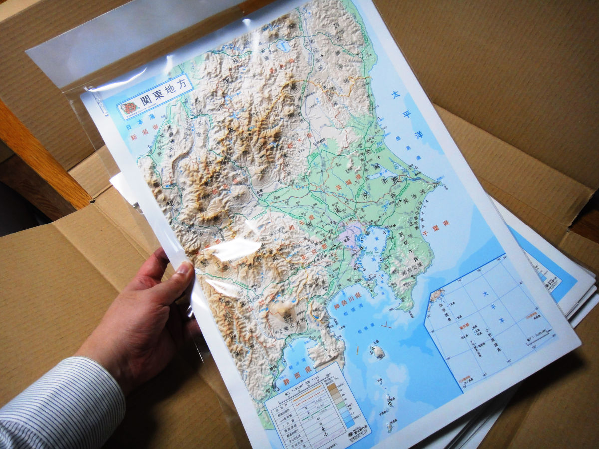
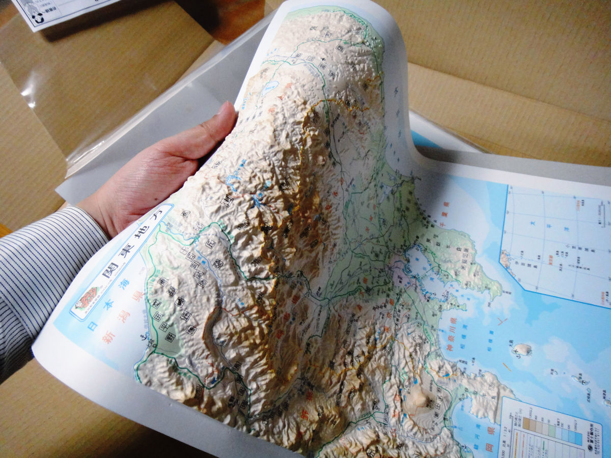
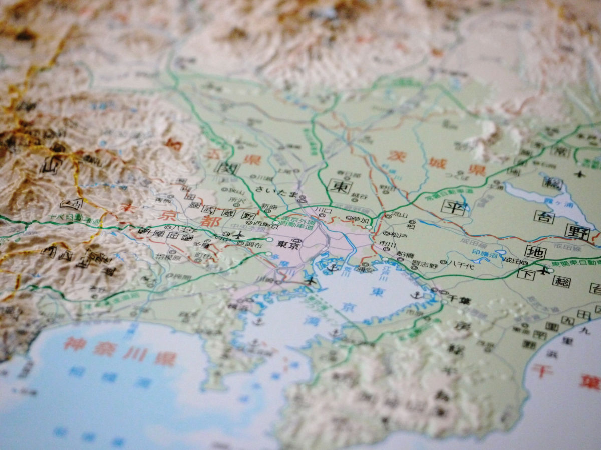
First of all, from the Kanto region (33 x 47 cm, 2100 yen including tax, scale 1 / 900,000). The actual size is like this when you hold it in your hand.
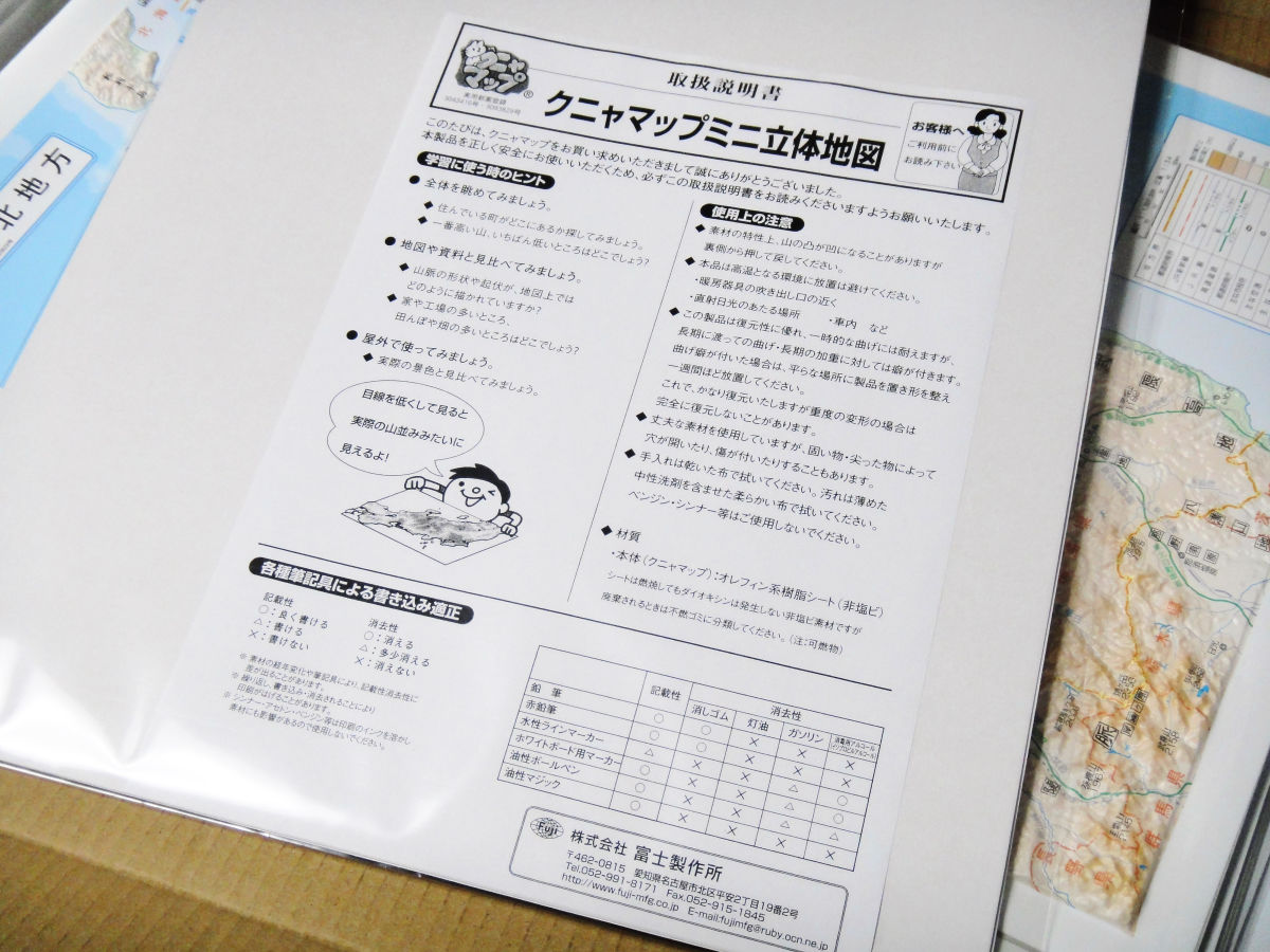
Instructions enclosed on the back
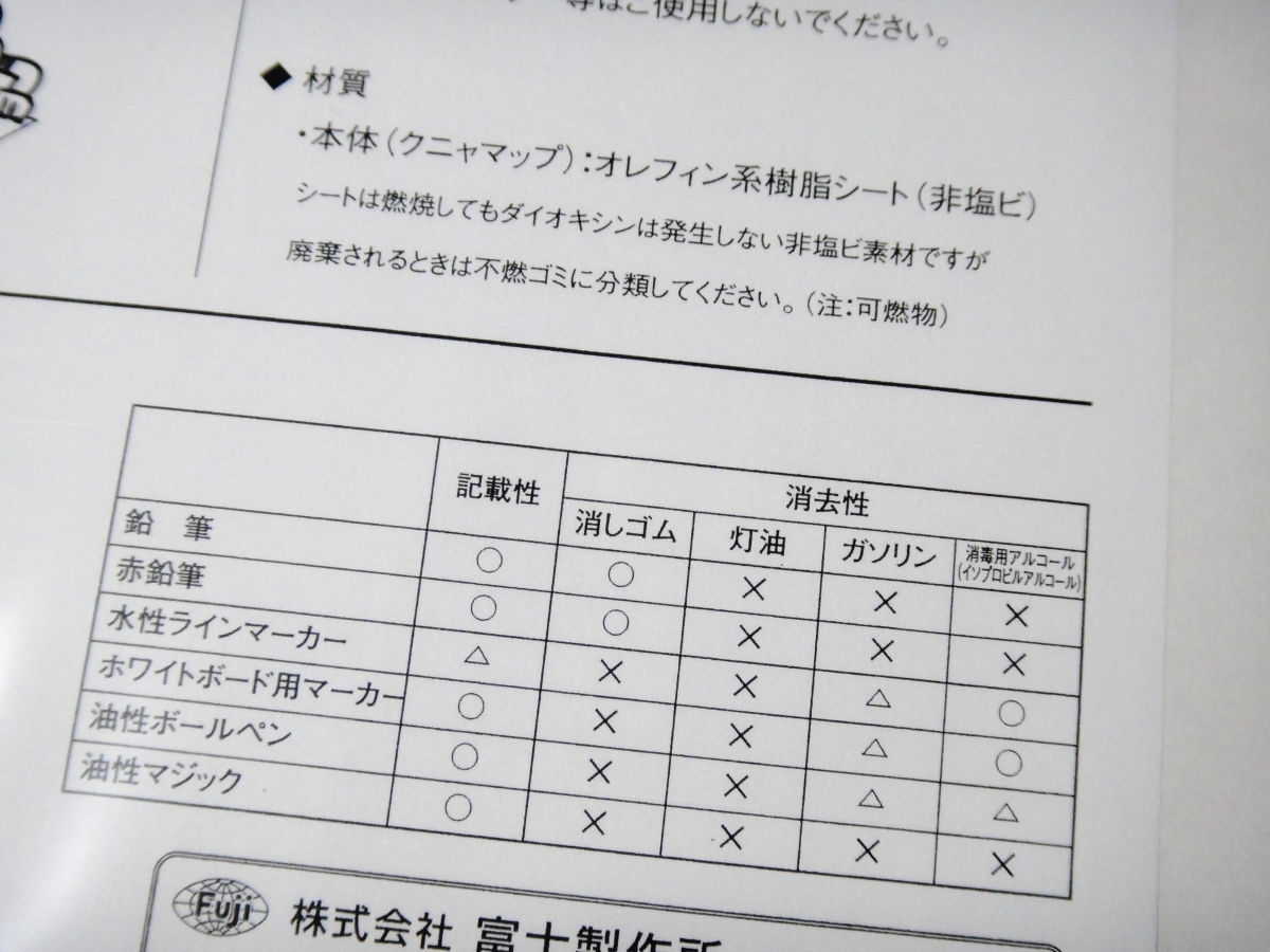
The main body is made of an olefin resin sheet (non-vinyl chloride), so even if you write a memo with a pencil, you can erase it with an eraser.
It bends like this
It is also possible to roll it round and round
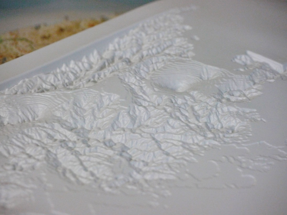
The back side is like this
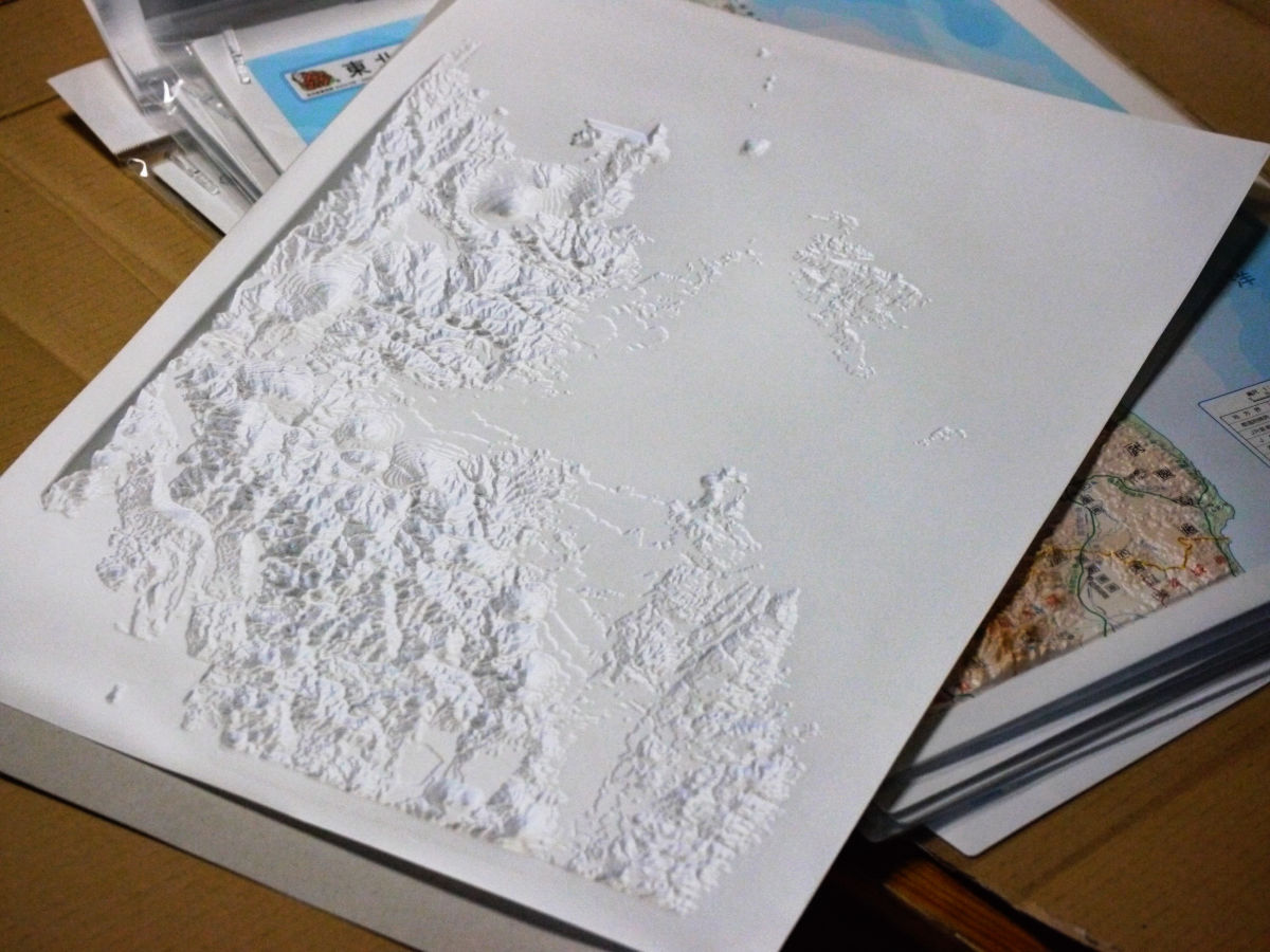
This has a taste. A situation that is quite unlikely to see the Japanese archipelago from the back.
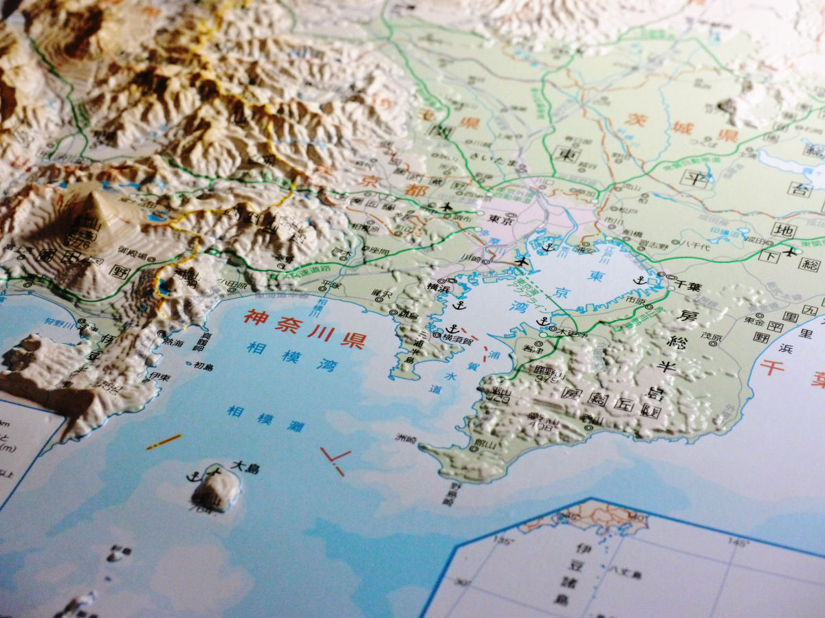
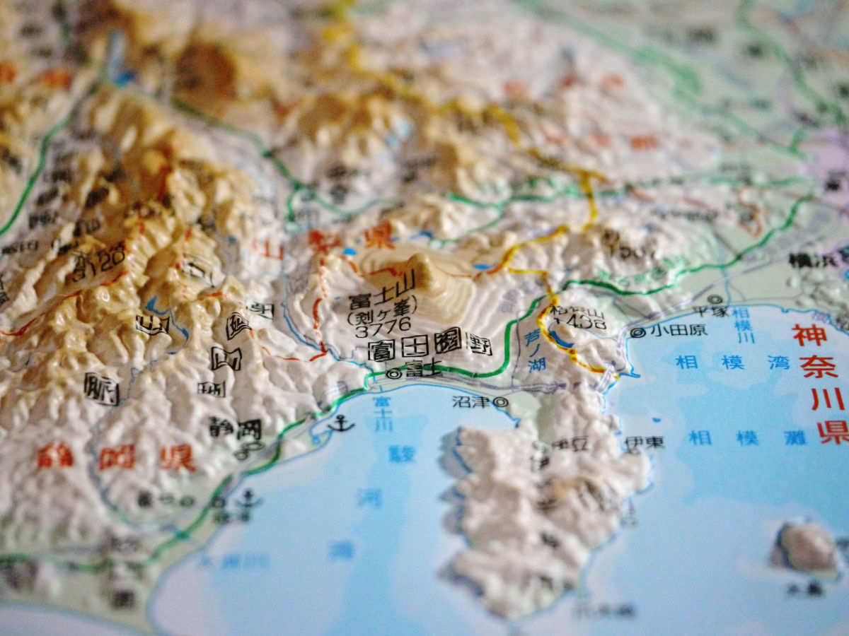
Kanto plain
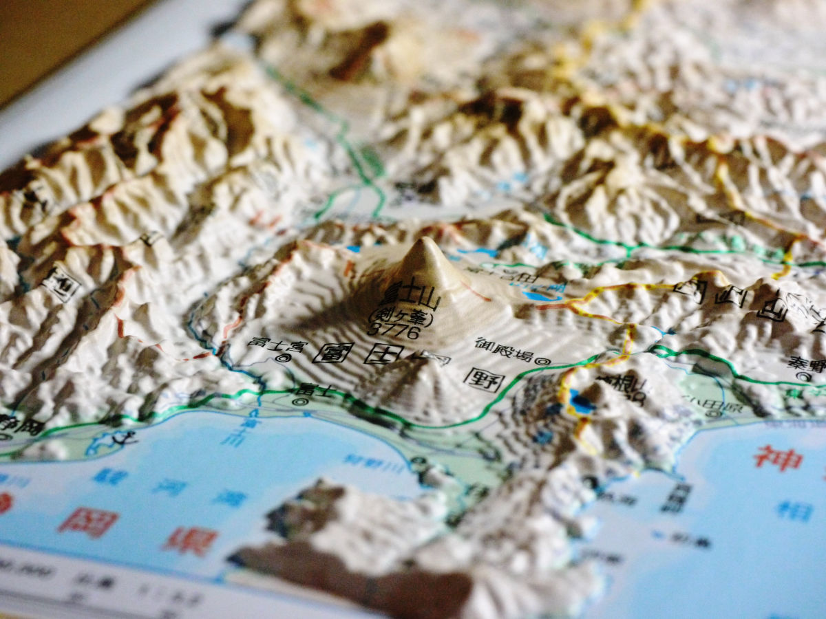
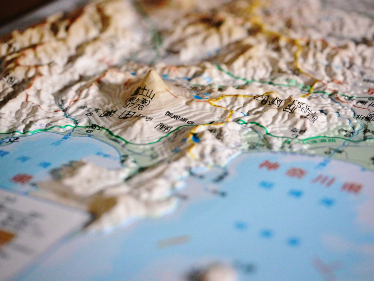
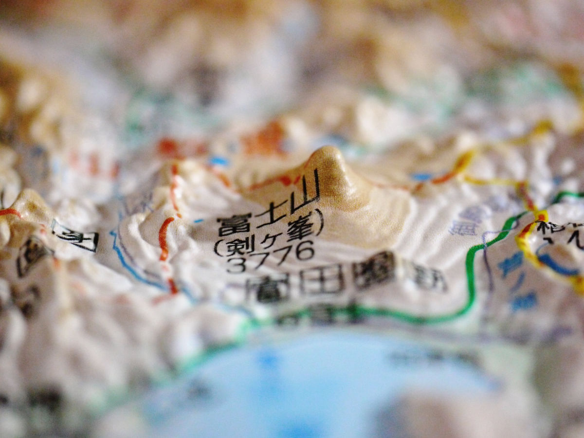
Mt. Fuji is on the left.
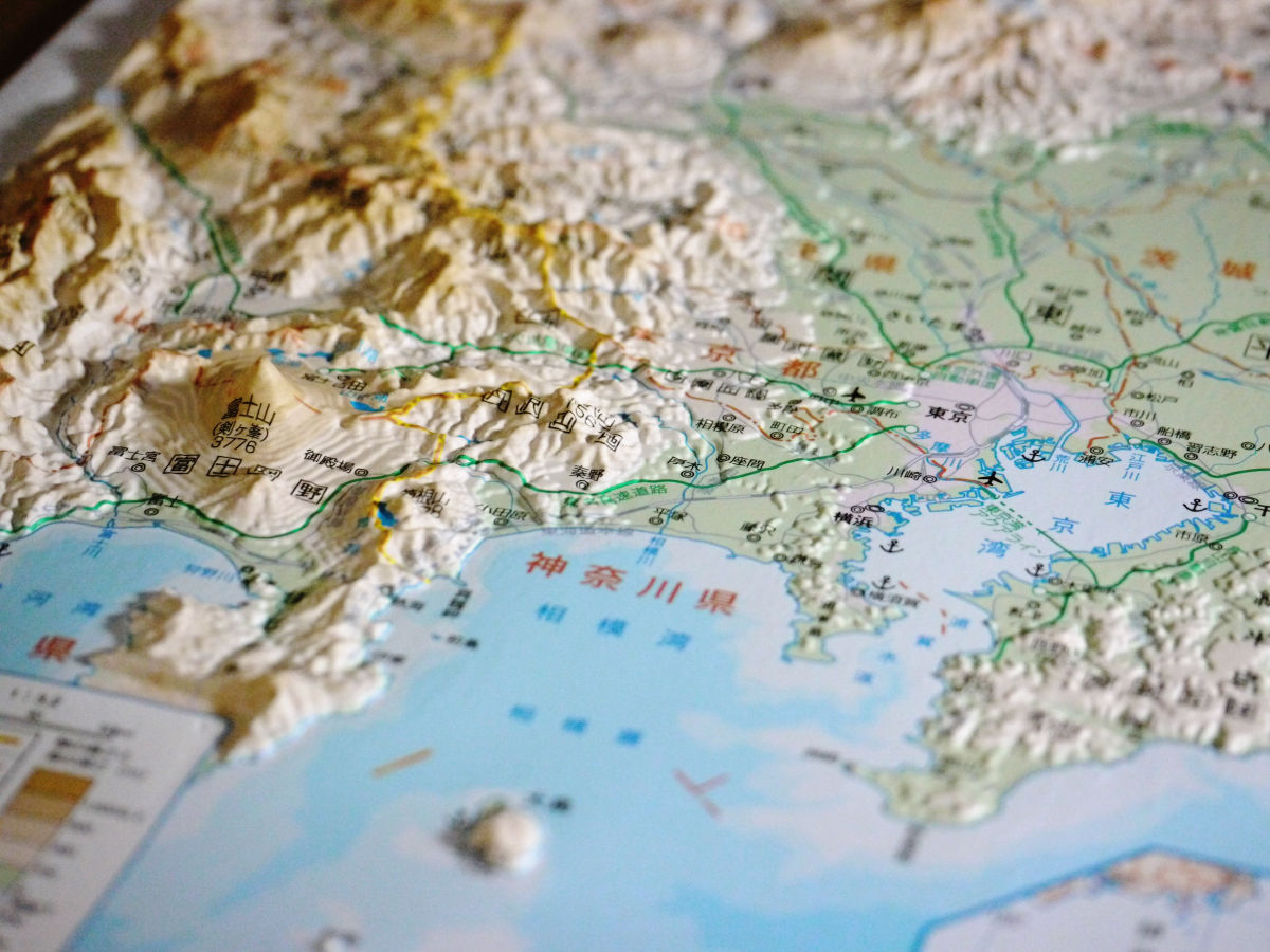
Looking at it like this, Mt. Fuji is certainly big.
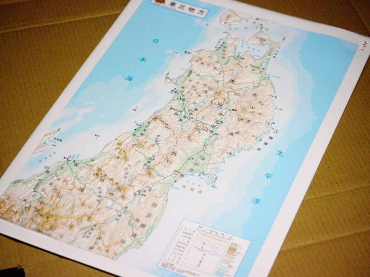
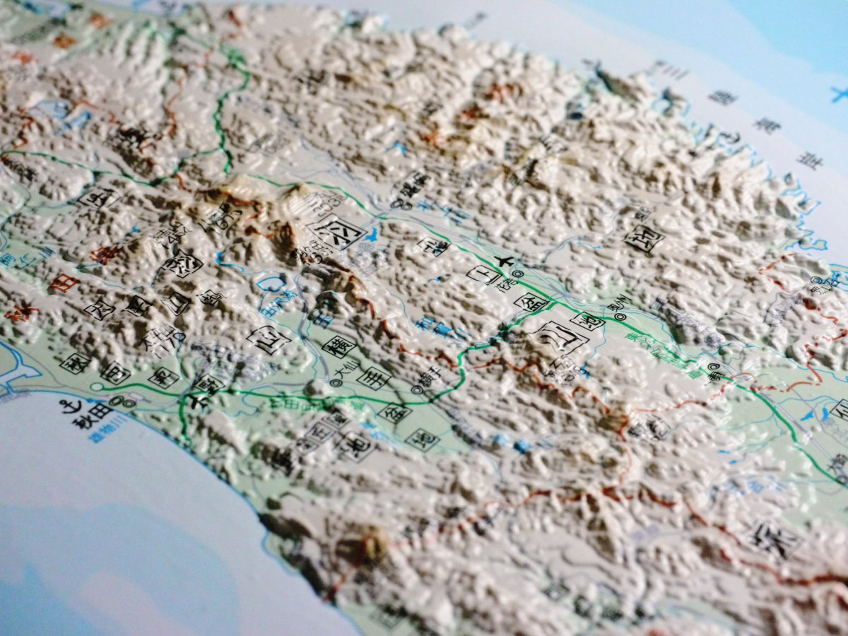
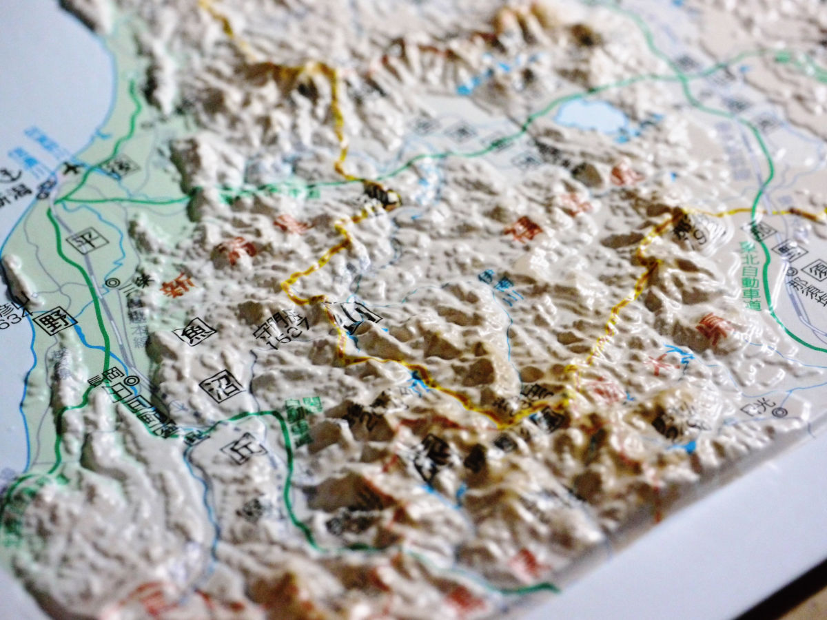
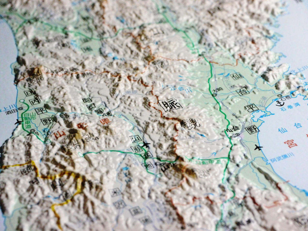
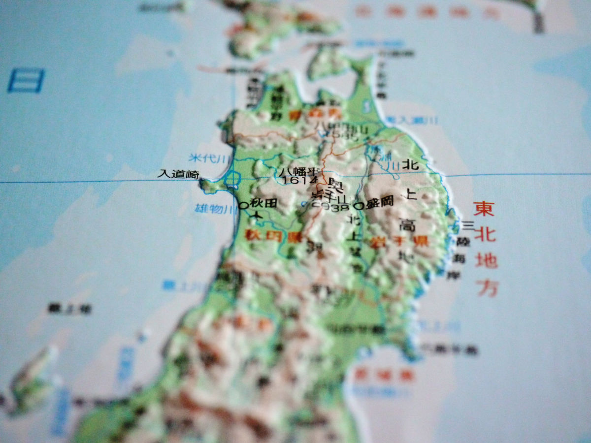
In the case of the Tohoku region (33 x 47 cm, tax included 2100 yen, scale 1 / 300,000), it looks like this
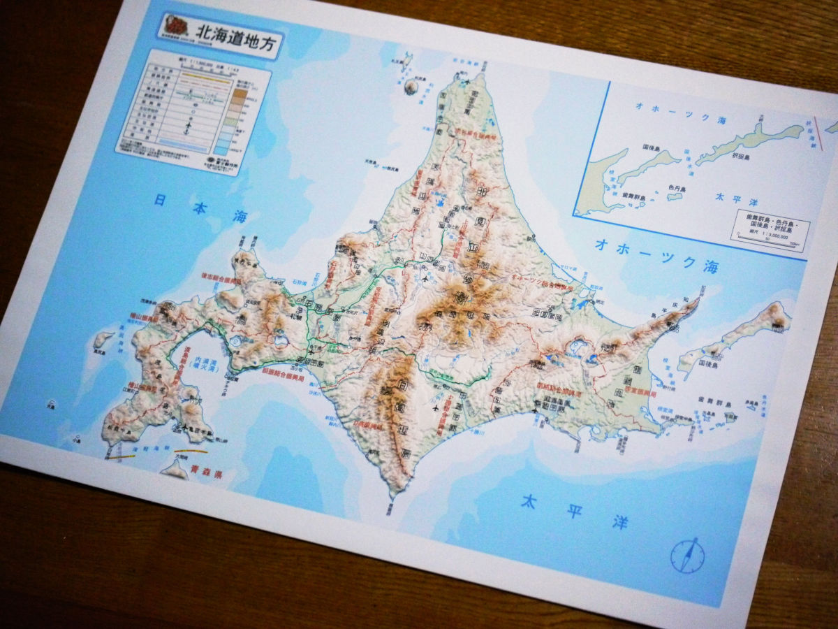
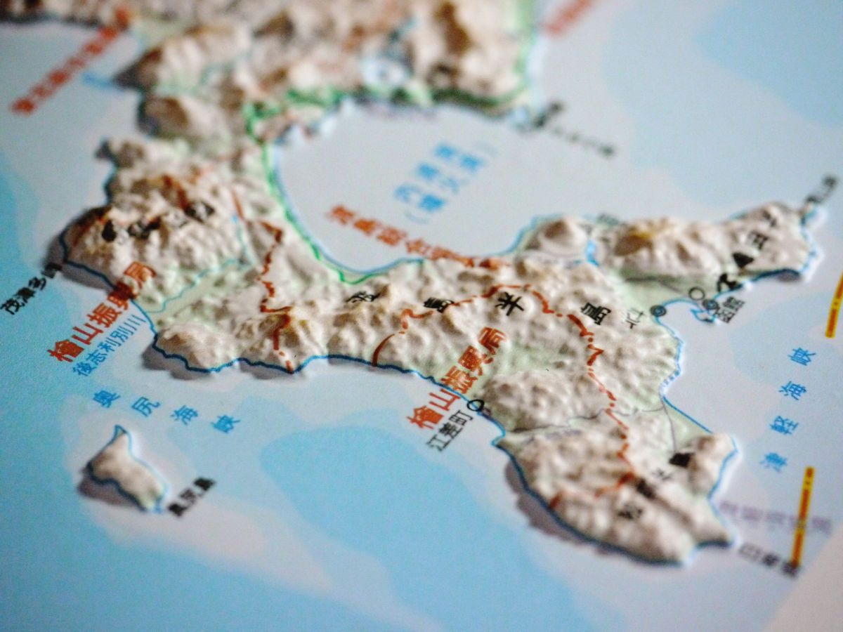
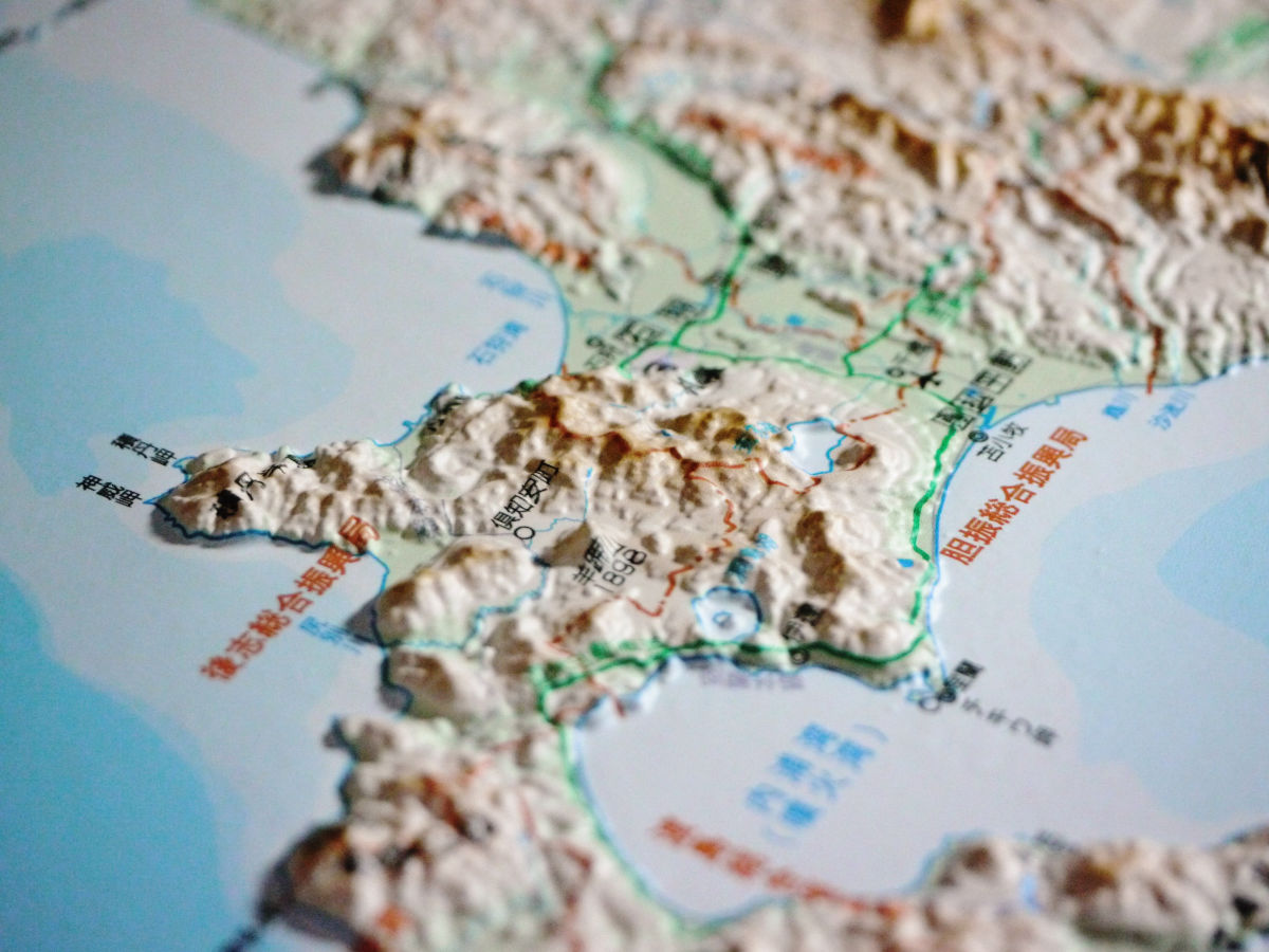
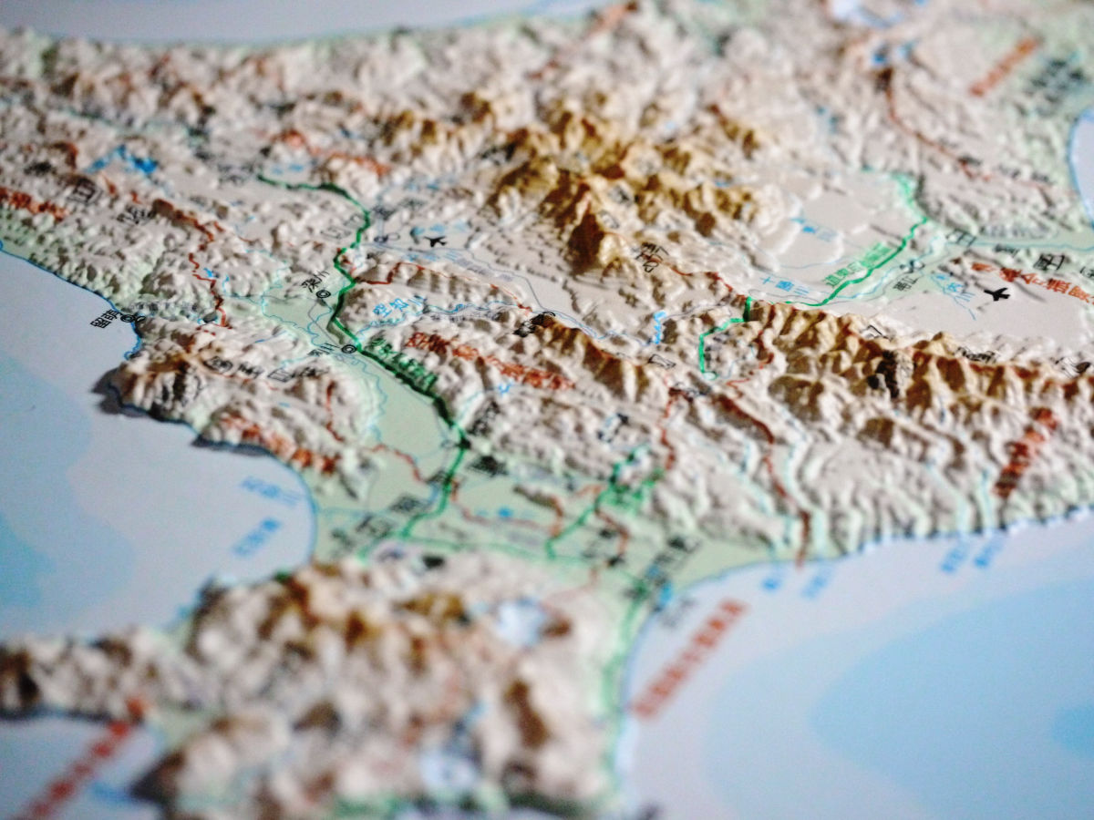
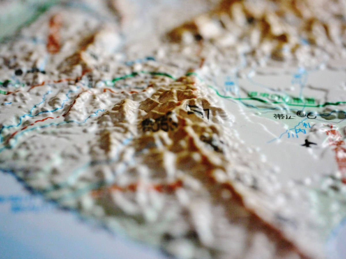
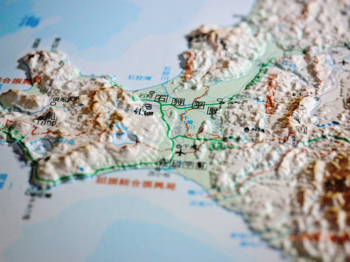
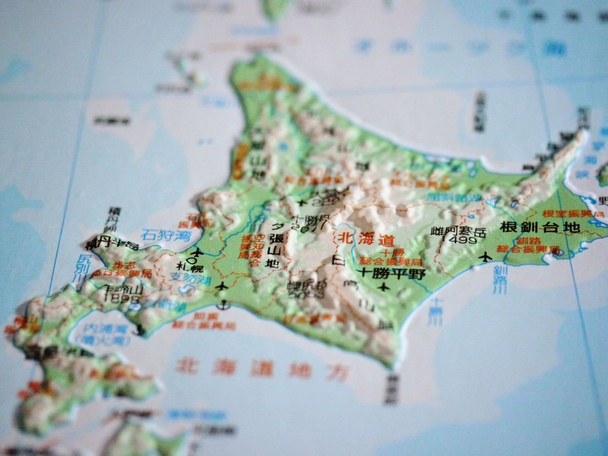
Hokkaido region (33 x 47 cm, 2100 yen including tax, scale 1 / 400,000)
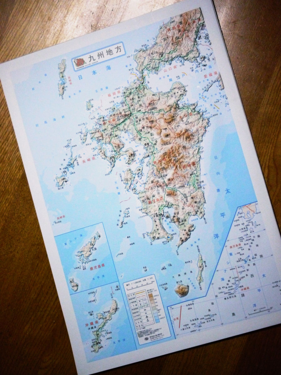
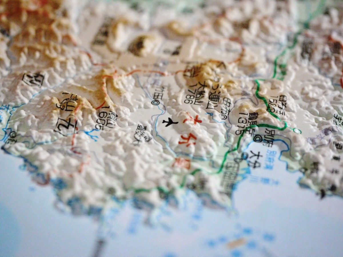
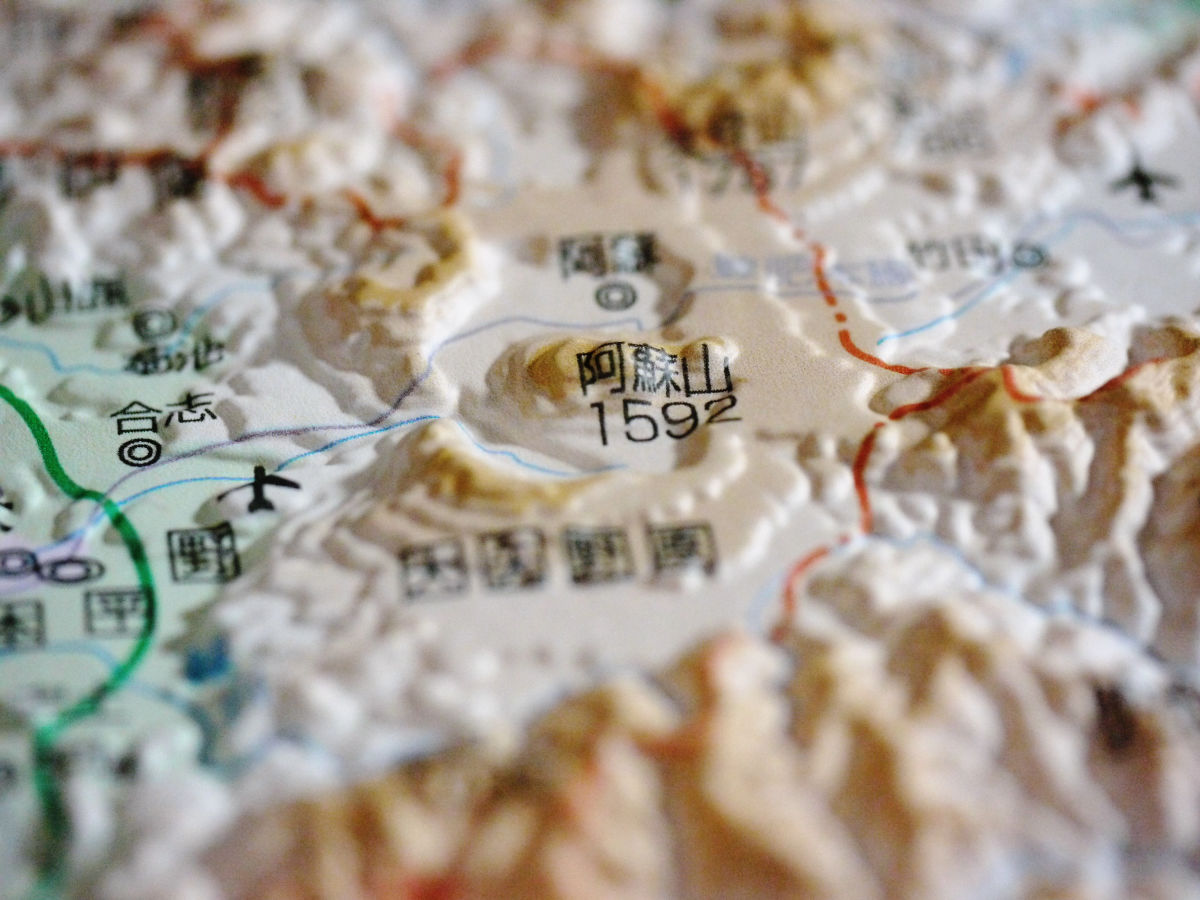
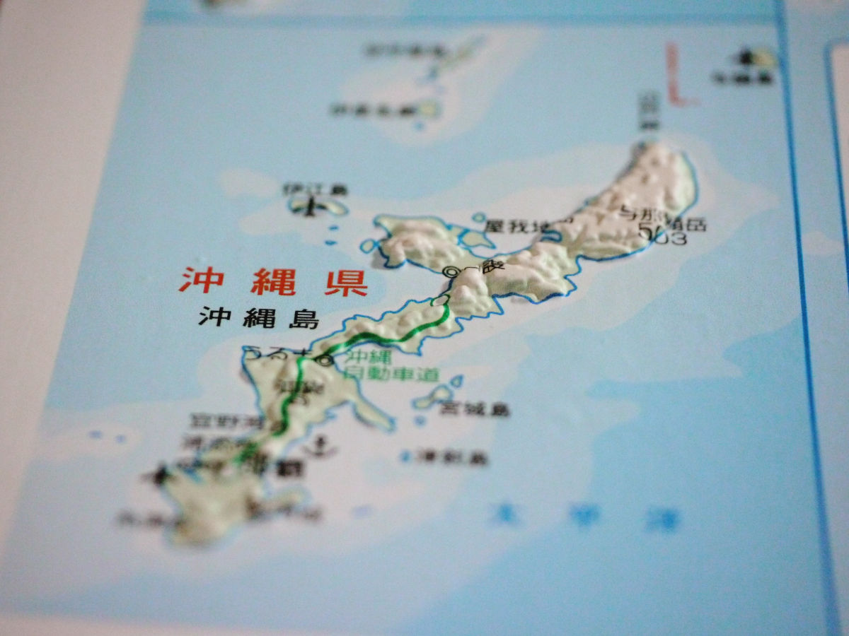
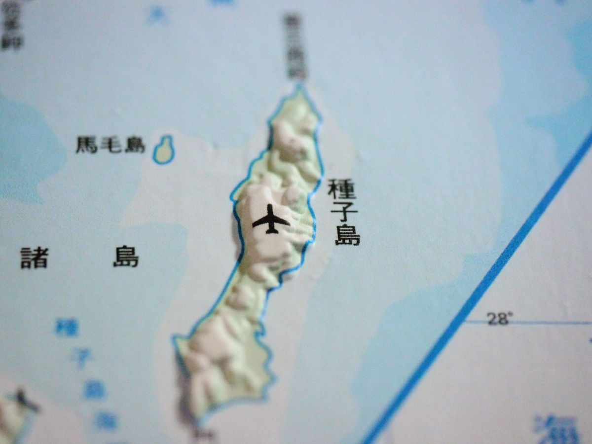
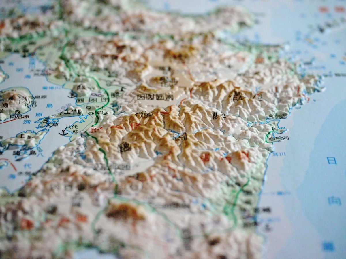
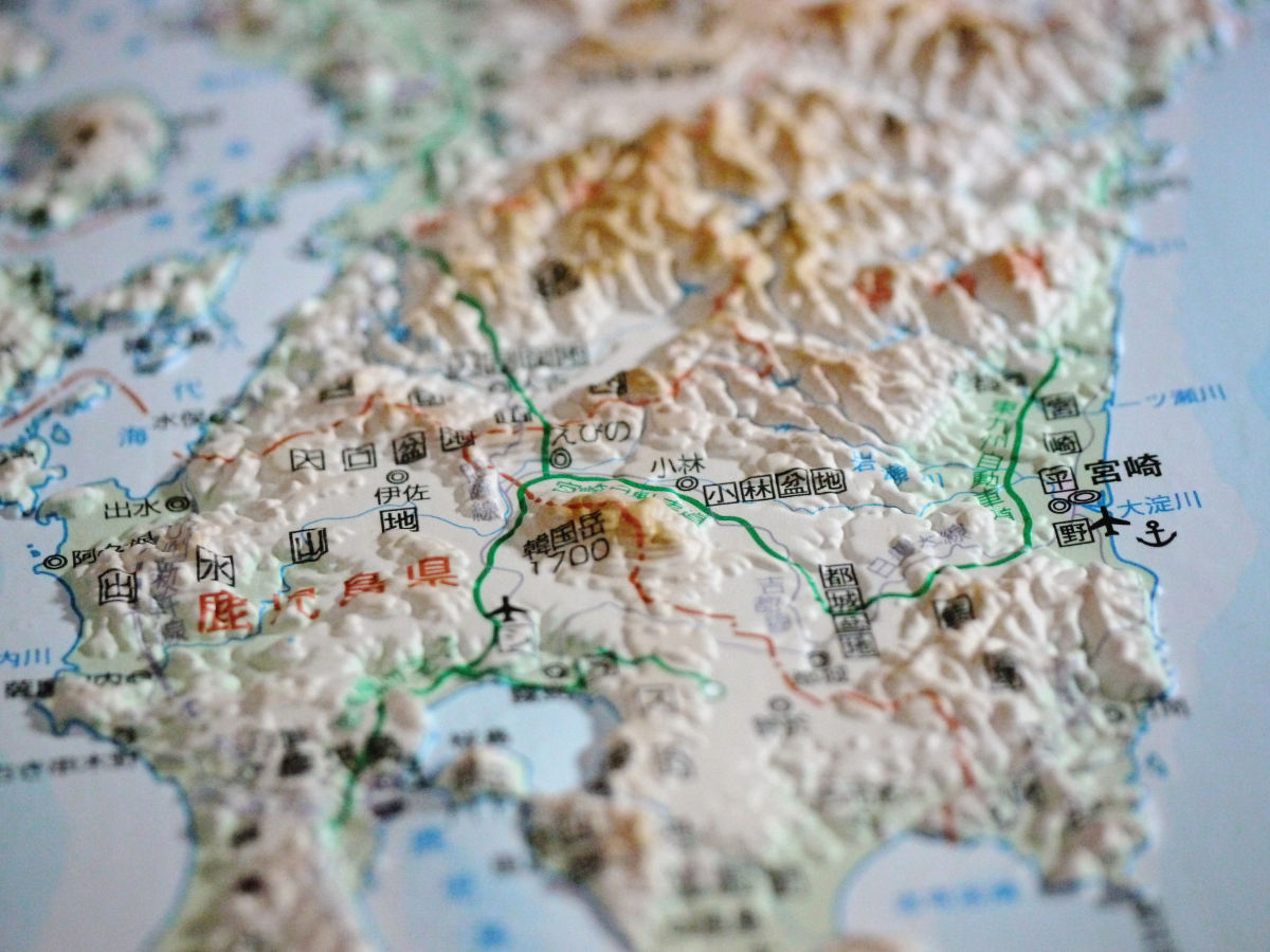
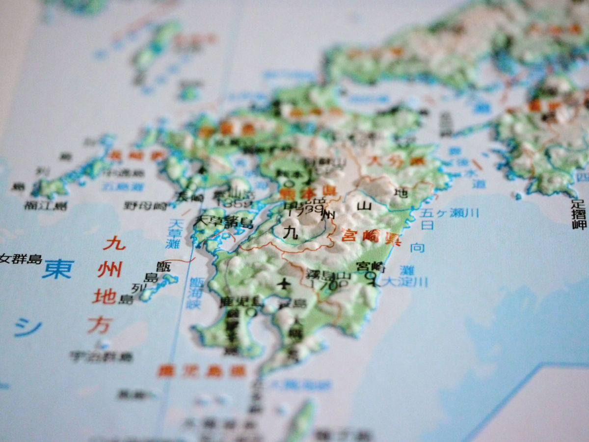
Kyushu region (33 x 47 cm, 2100 yen including tax, scale 1 / 300,000)
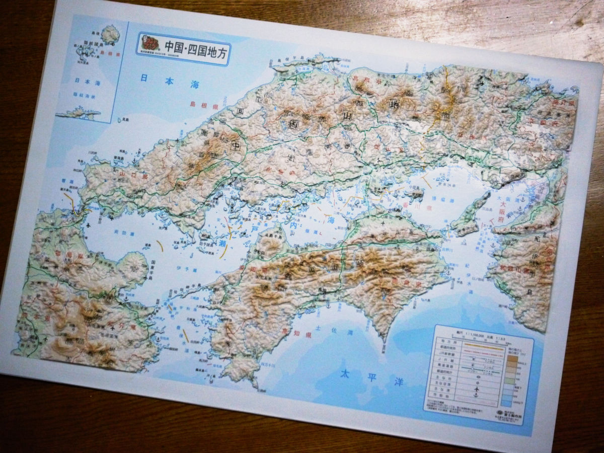
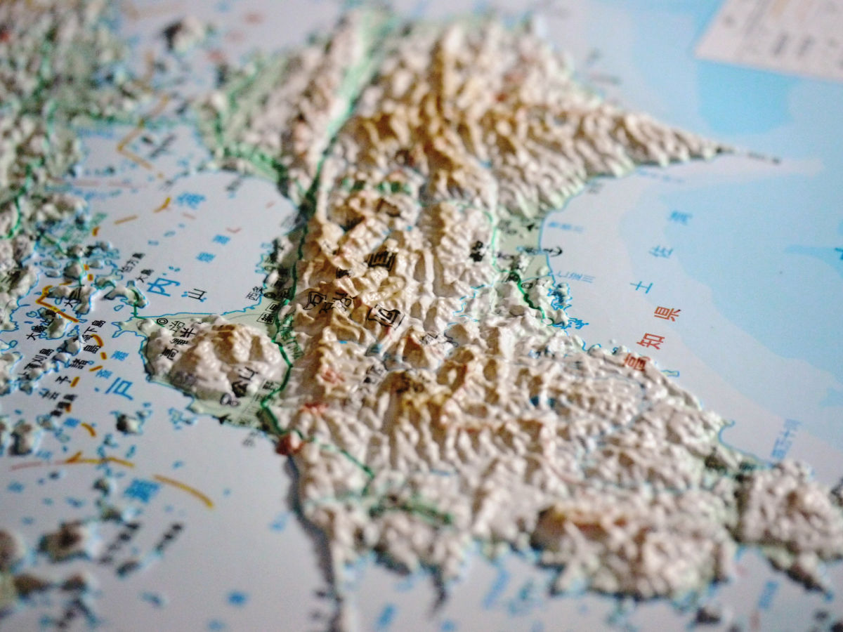
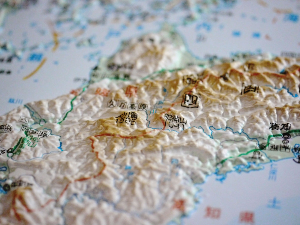
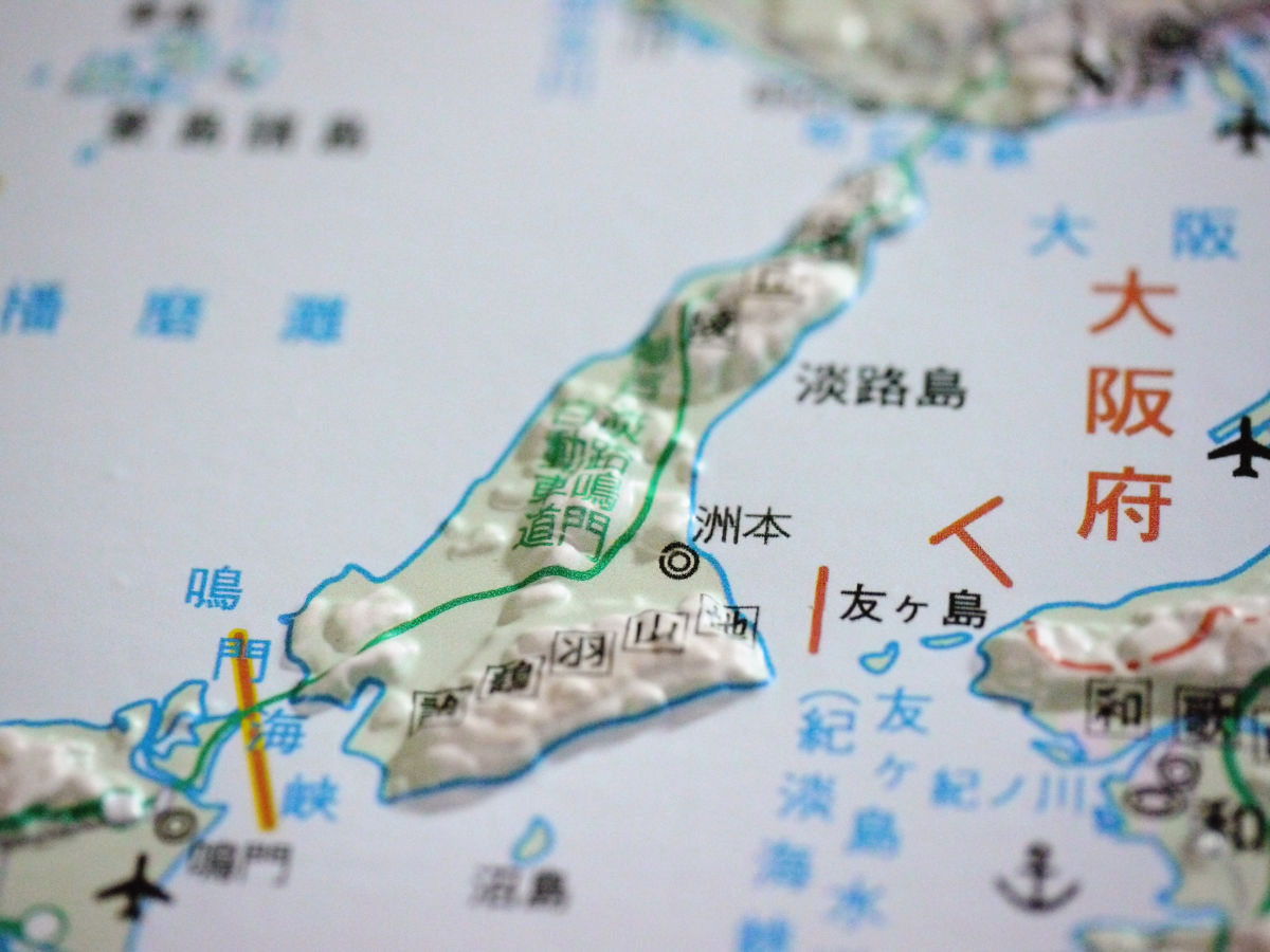
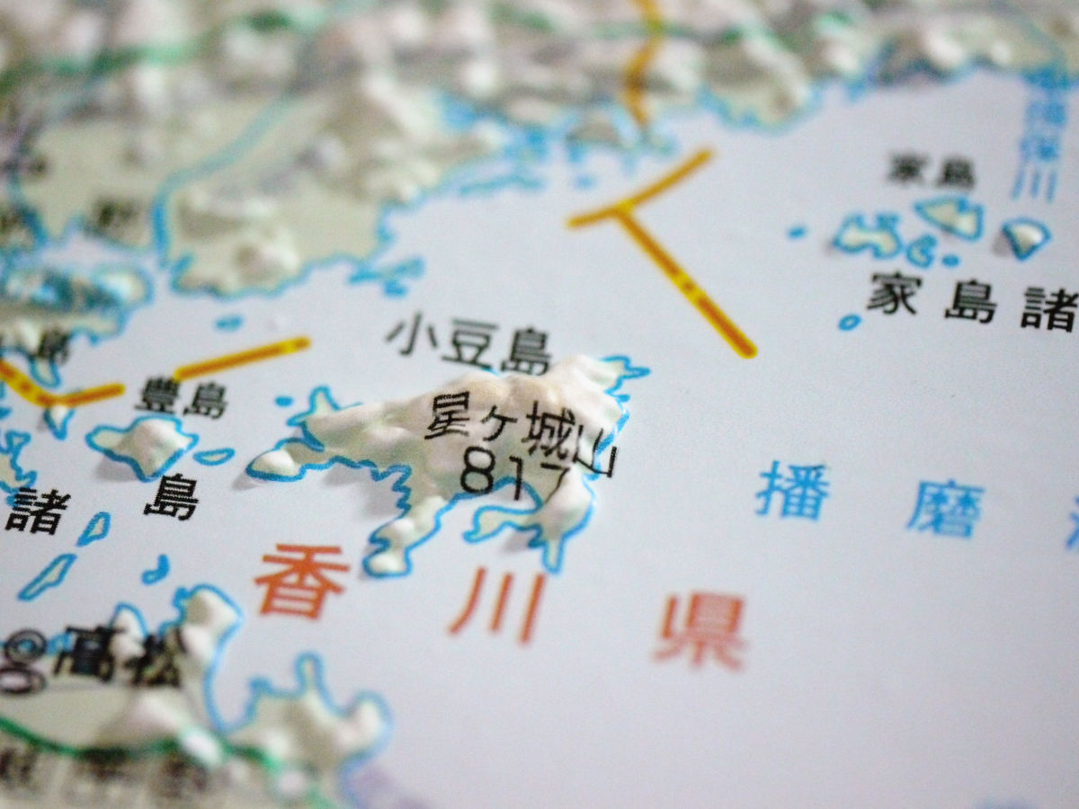
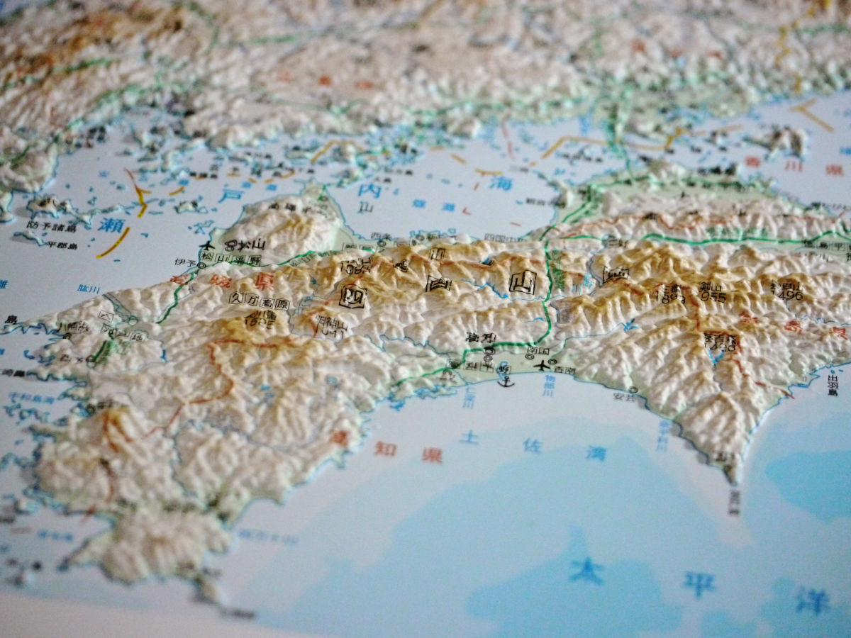
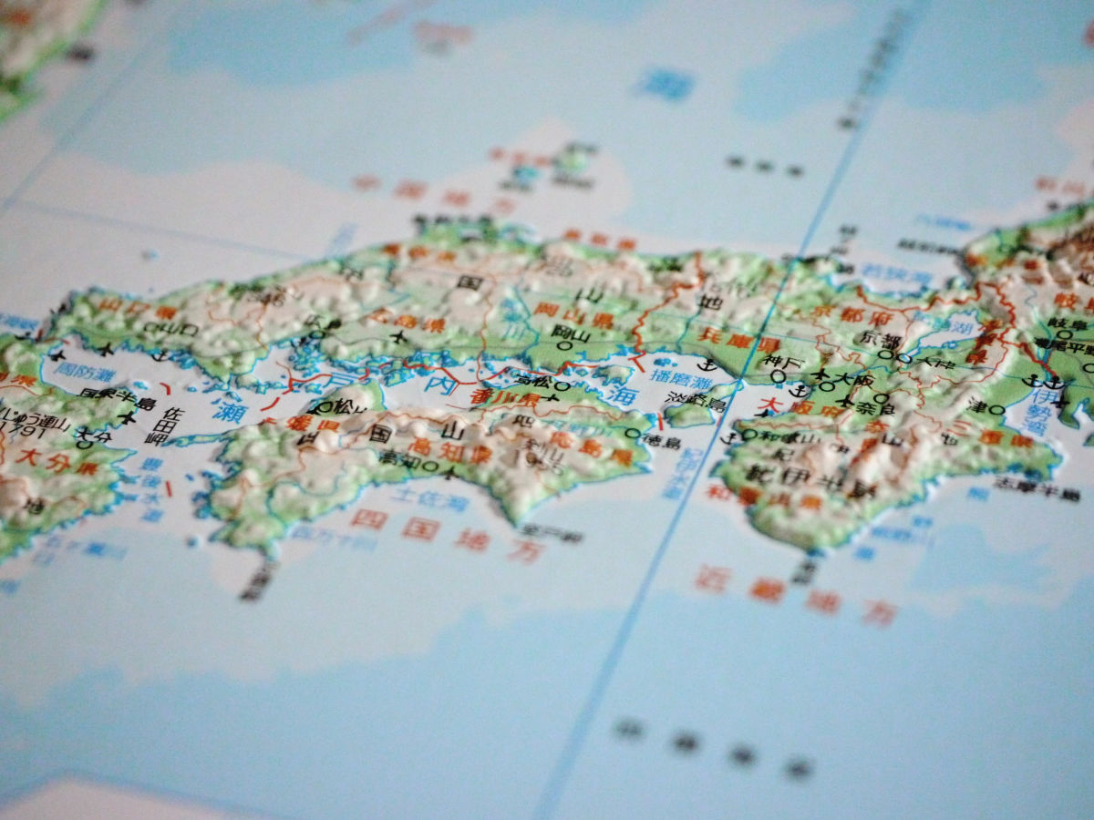
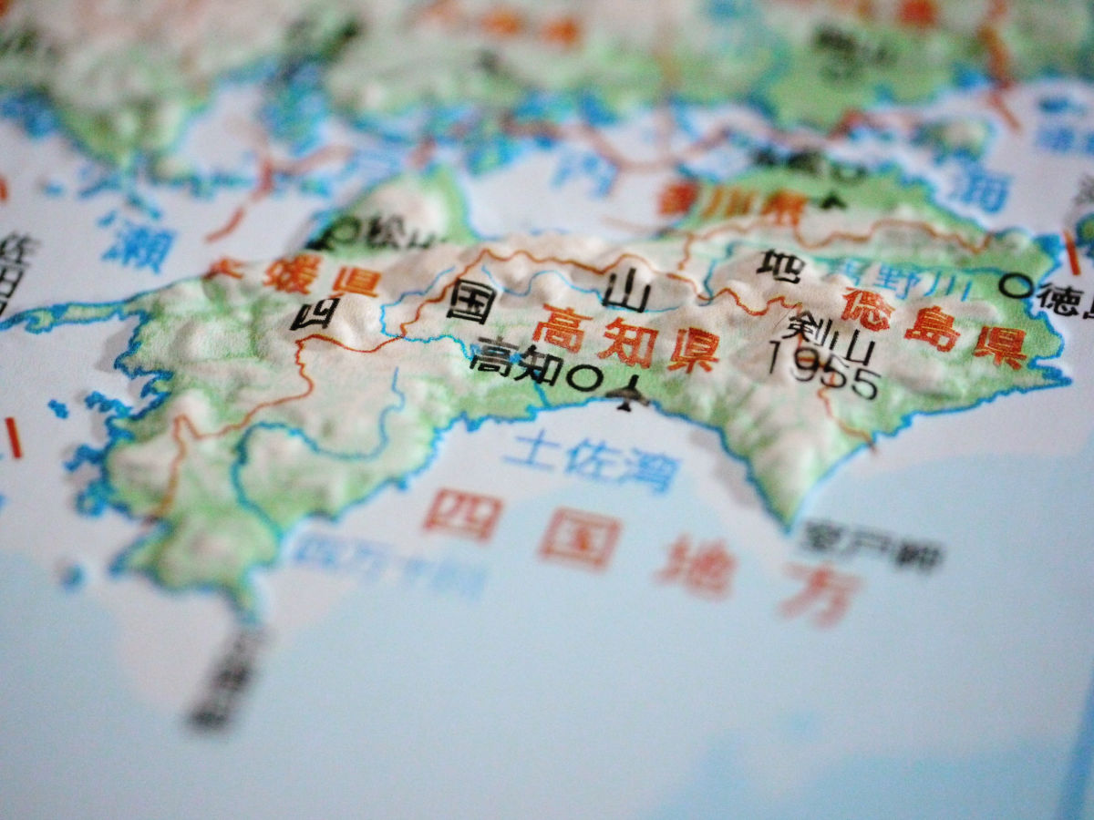
Chugoku / Shikoku region (33 x 47 cm, tax included 2100 yen, scale 1 / 1,100,000)
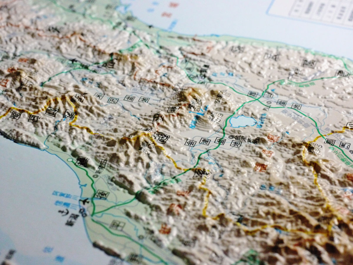
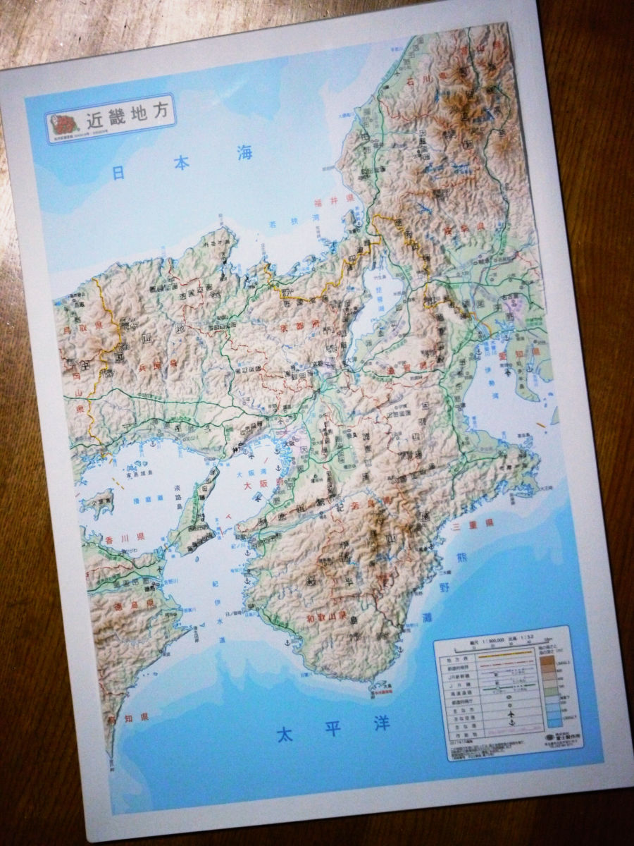
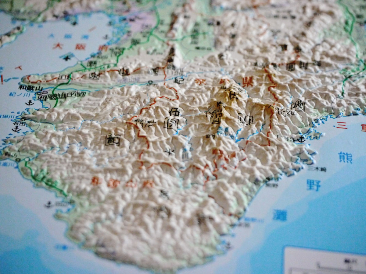
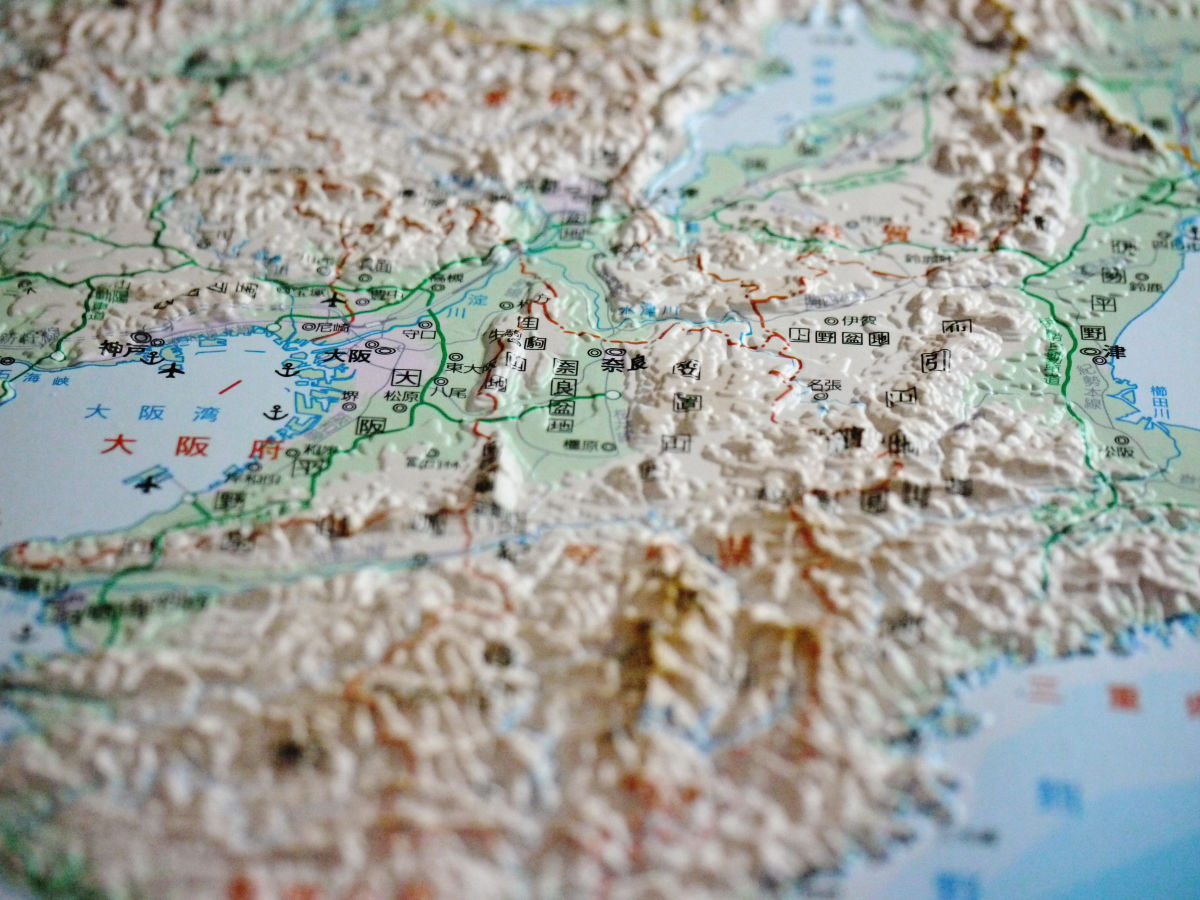
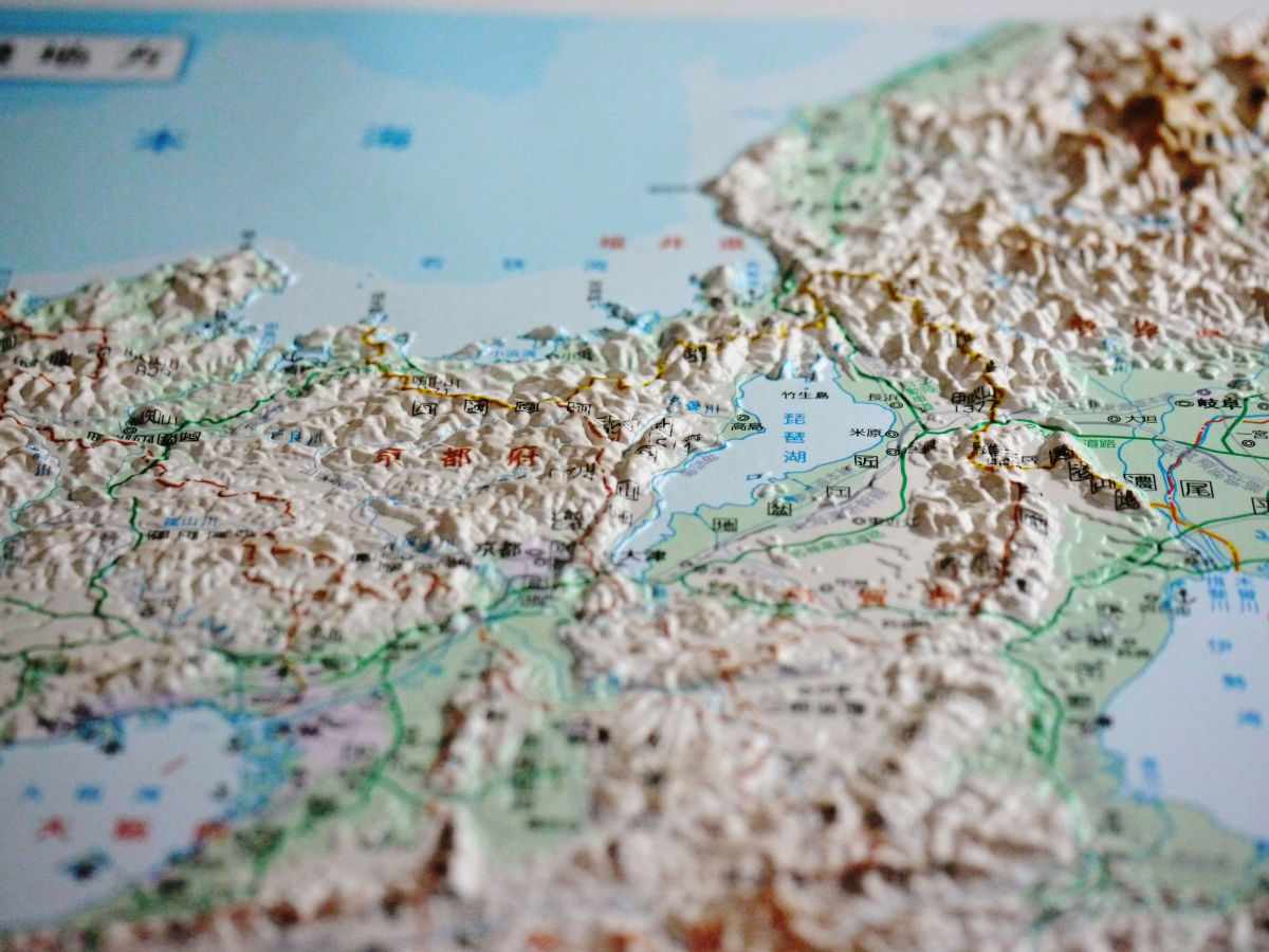
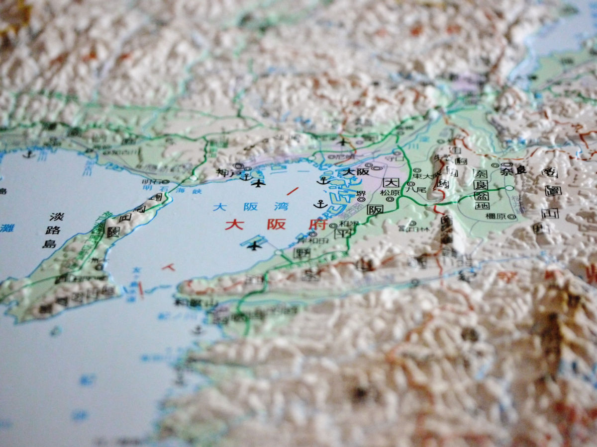
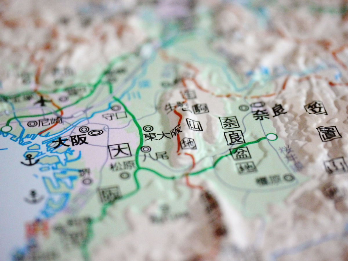
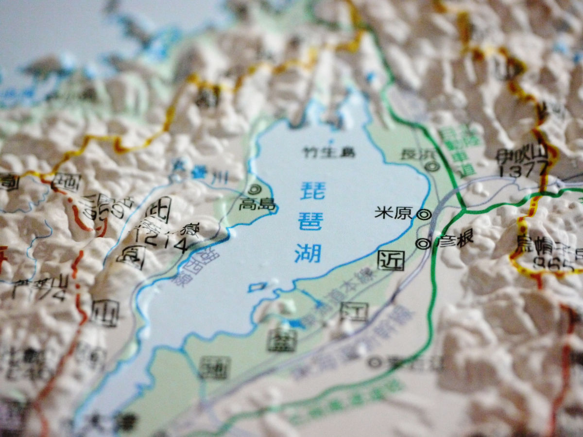
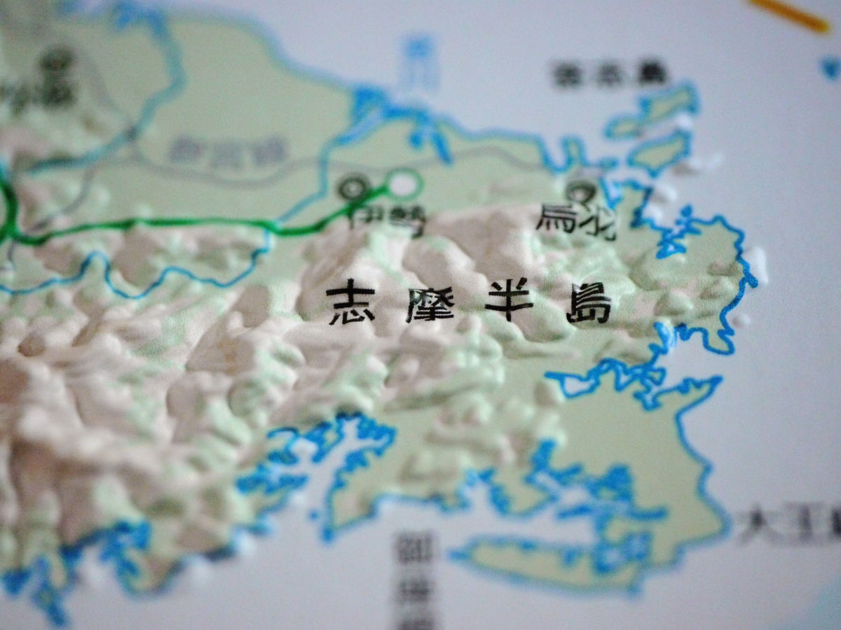
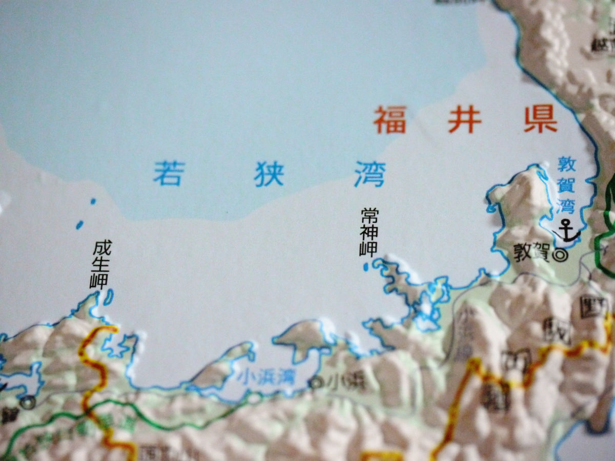
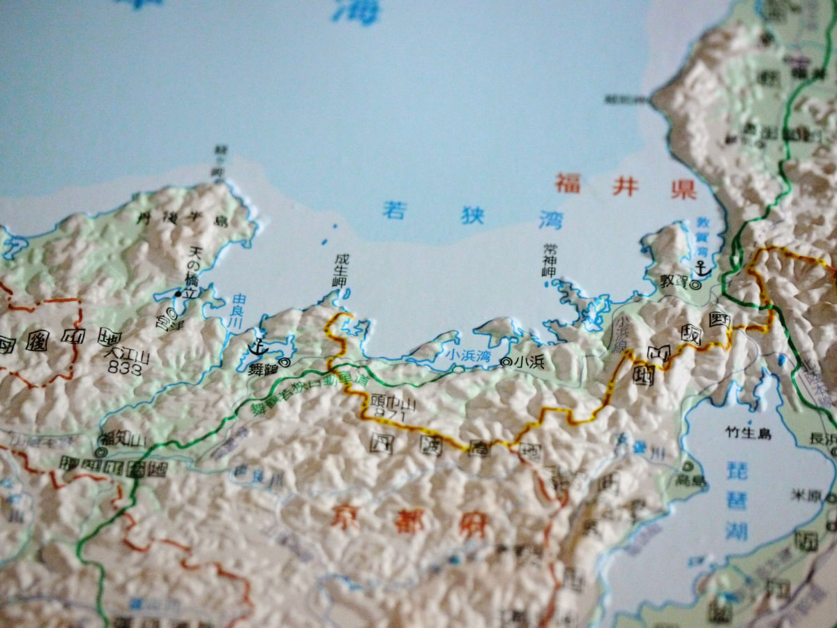
Kinki region (33 x 47 cm, tax included 2100 yen, scale 1 / 900,000)
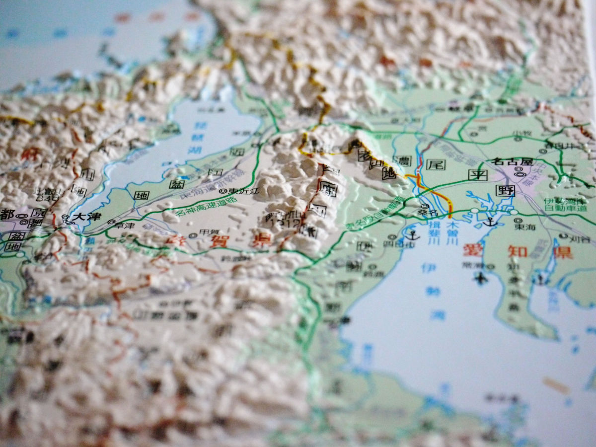
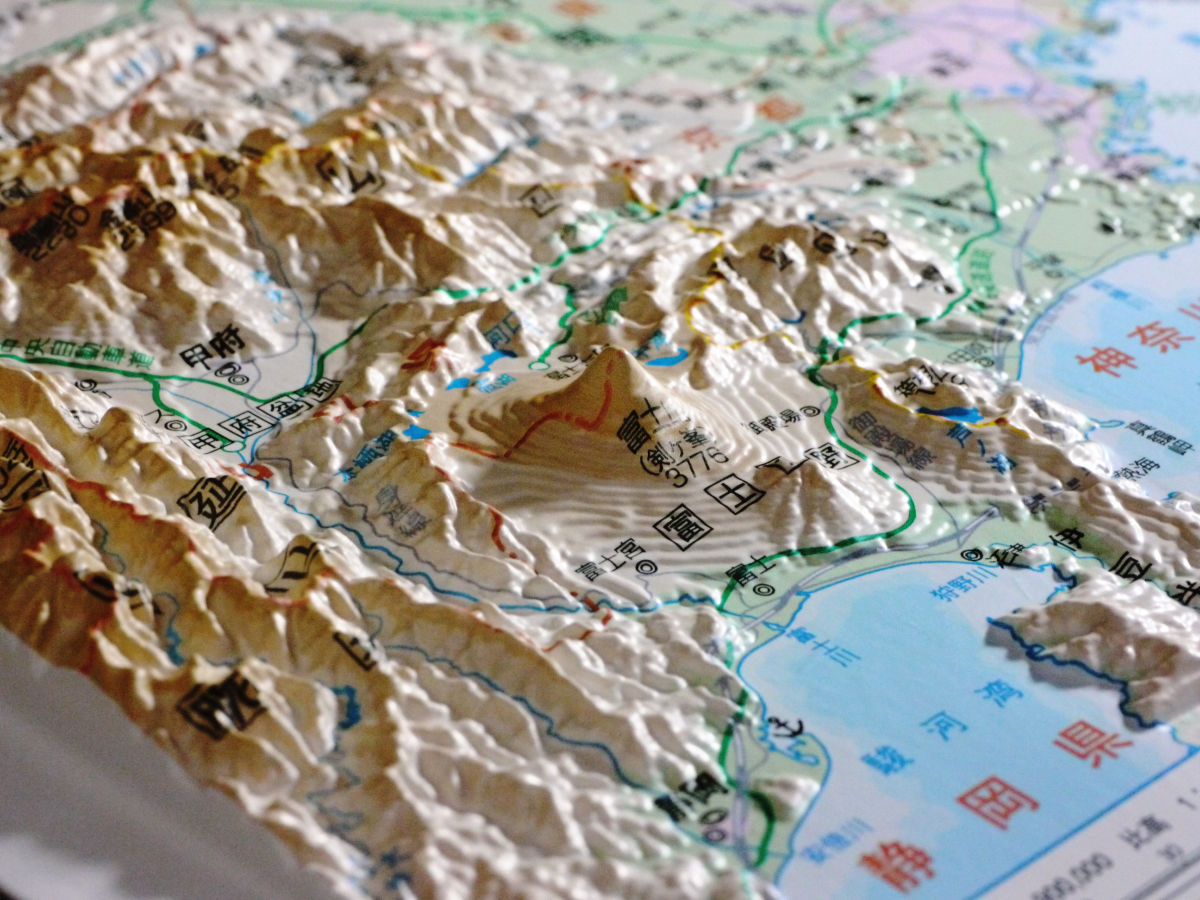
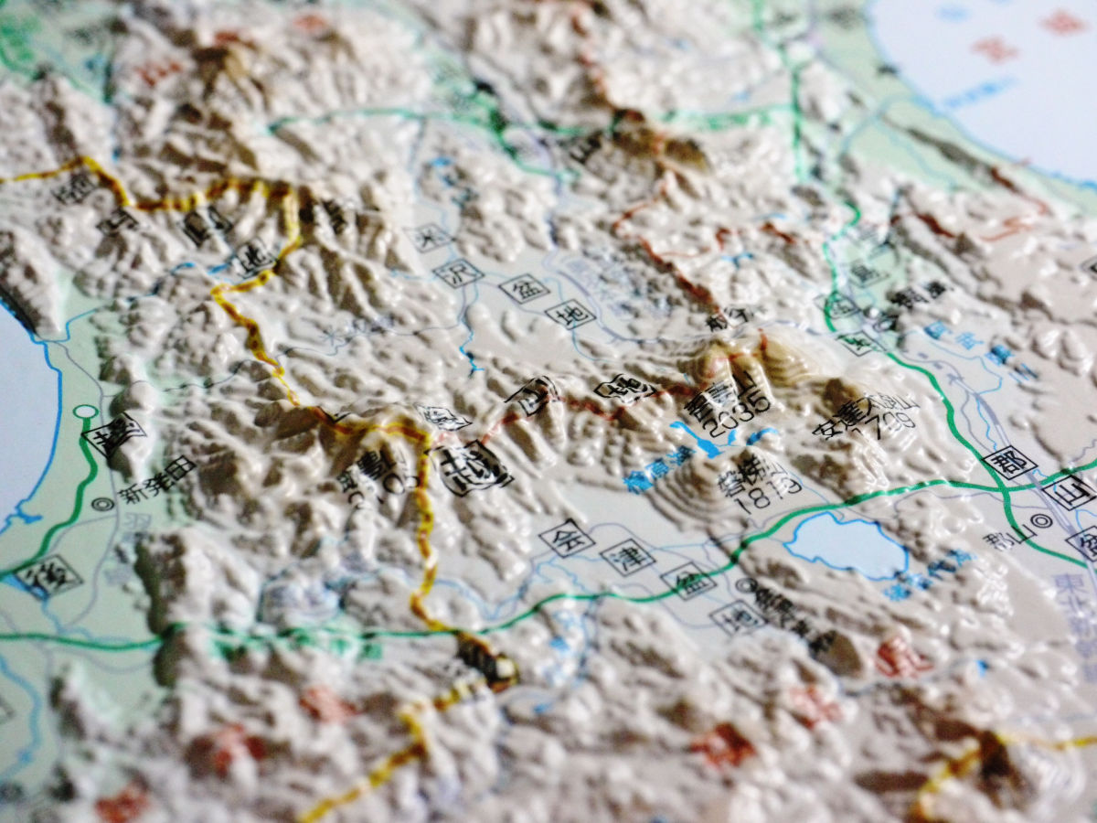
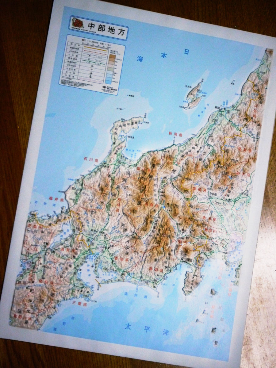
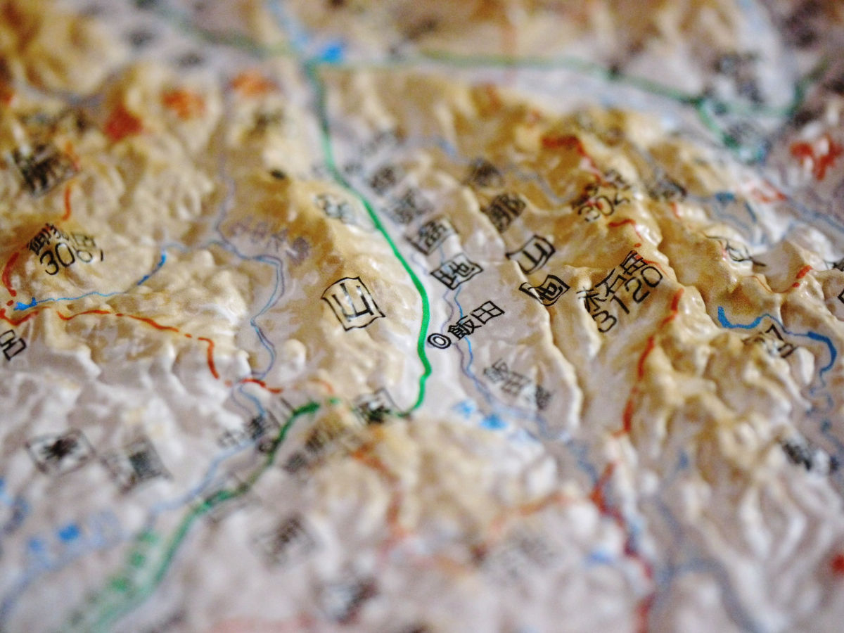
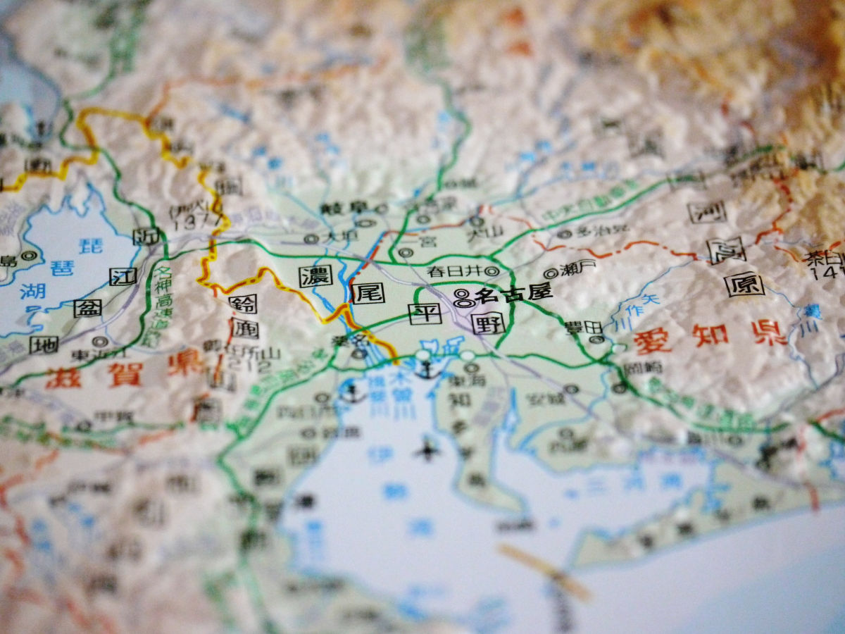
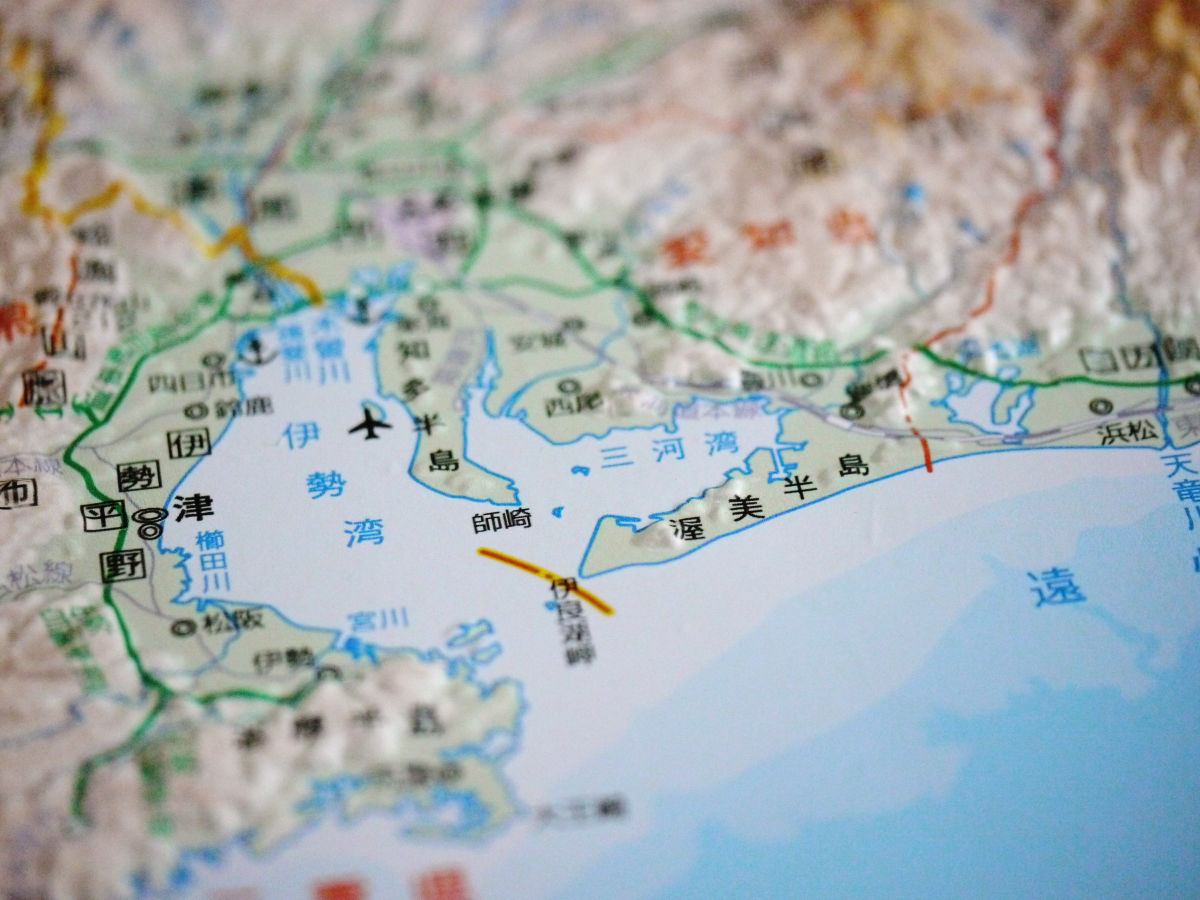
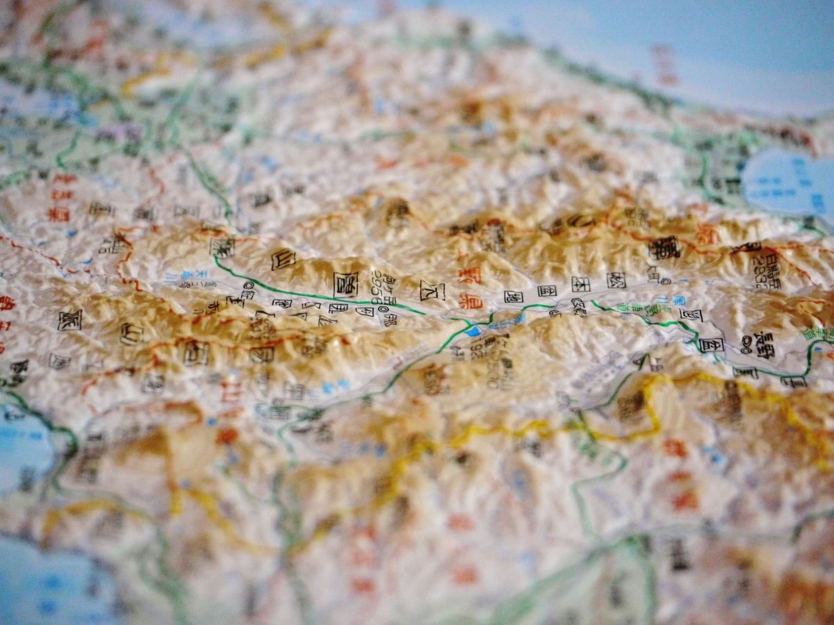
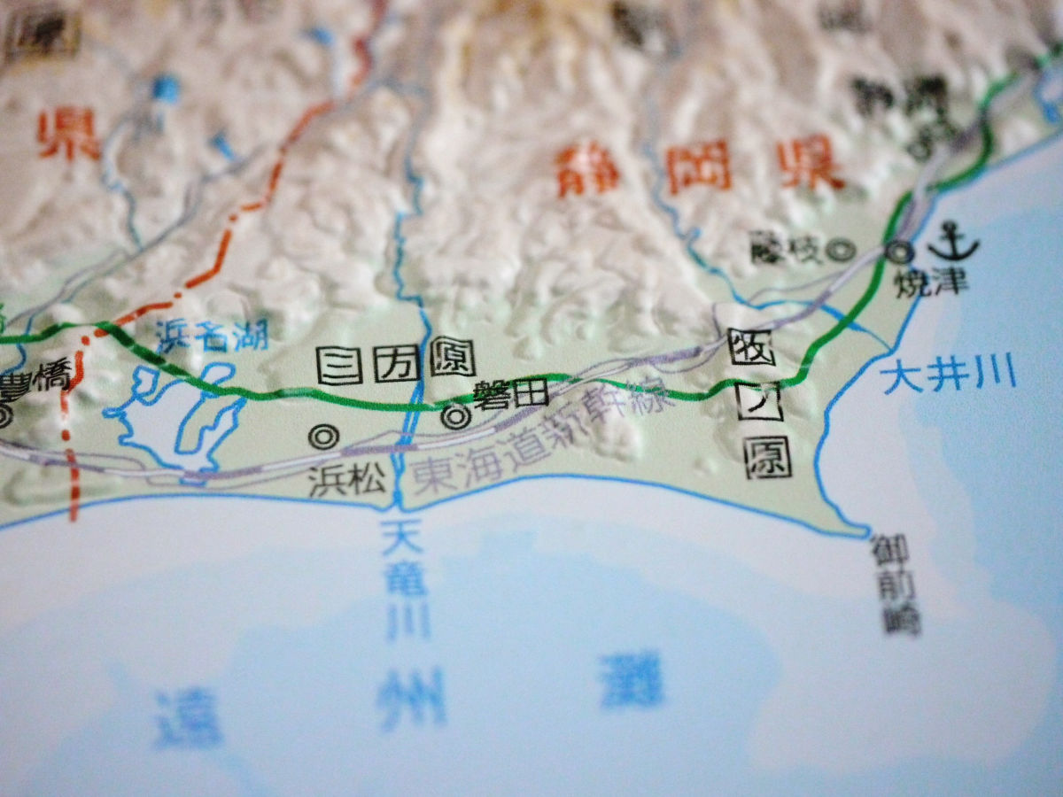
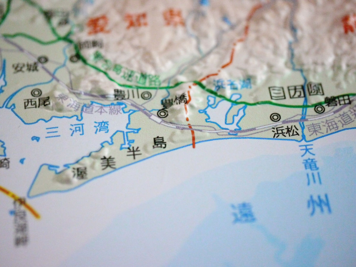
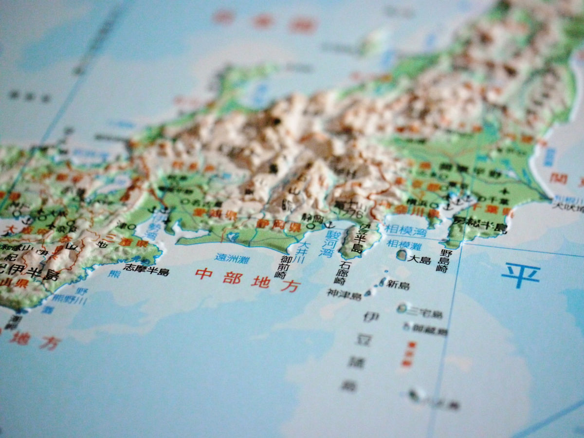
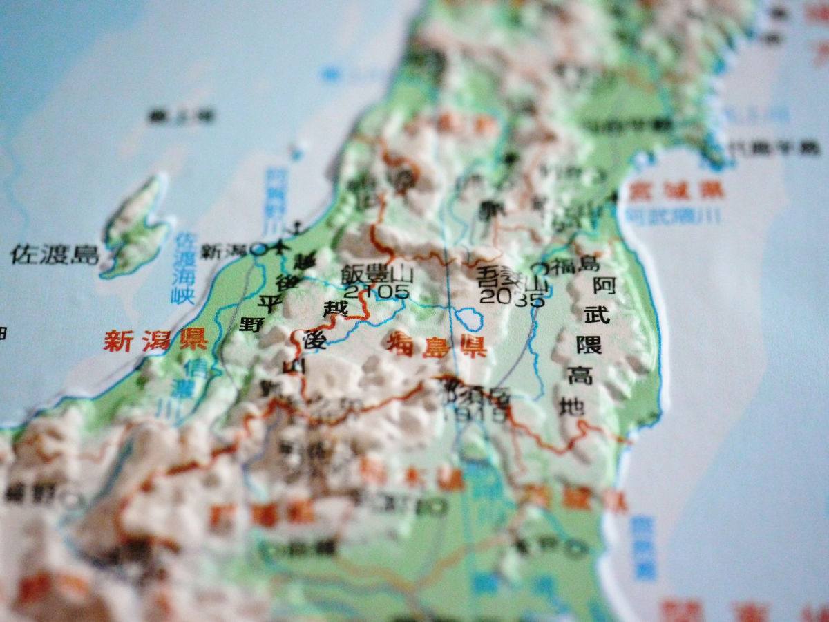
Chubu region (33 x 47 cm, 2100 yen including tax, scale 1 / 400,000)
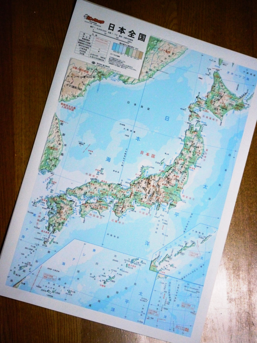
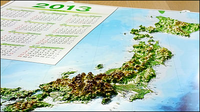
National version of Japan (33 x 47 cm, 2100 yen including tax, scale 1 / 5,000,000)
Actually, it would be best if I could see the contour lines and have this kind of image in my head, but once I actually saw it in this way and touched it, it was a bit like 'Oh'. Can capture the map in a different way, which is quite nice.
Related Posts:

in Review, Posted by darkhorse