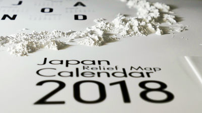
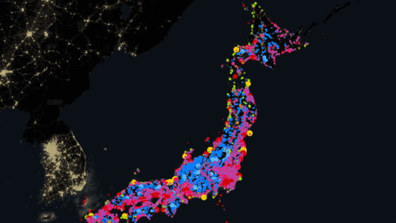
Calendar "3D solid map" which you can see well by touching with your eyes to see how uneven the Japanese archipelago is
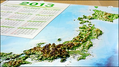
Not a map where Japan and its surrounding maps are often located, but a calendar which is expressed in three-dimensional with irregularitiesSOMA CORPORATIONof"3D solid map". In addition to being able to use it as a calendar, you can confirm the route of the Shinkansen, the location of the nuclear power plant, and how the Japanese mountain range is rising in 3D.
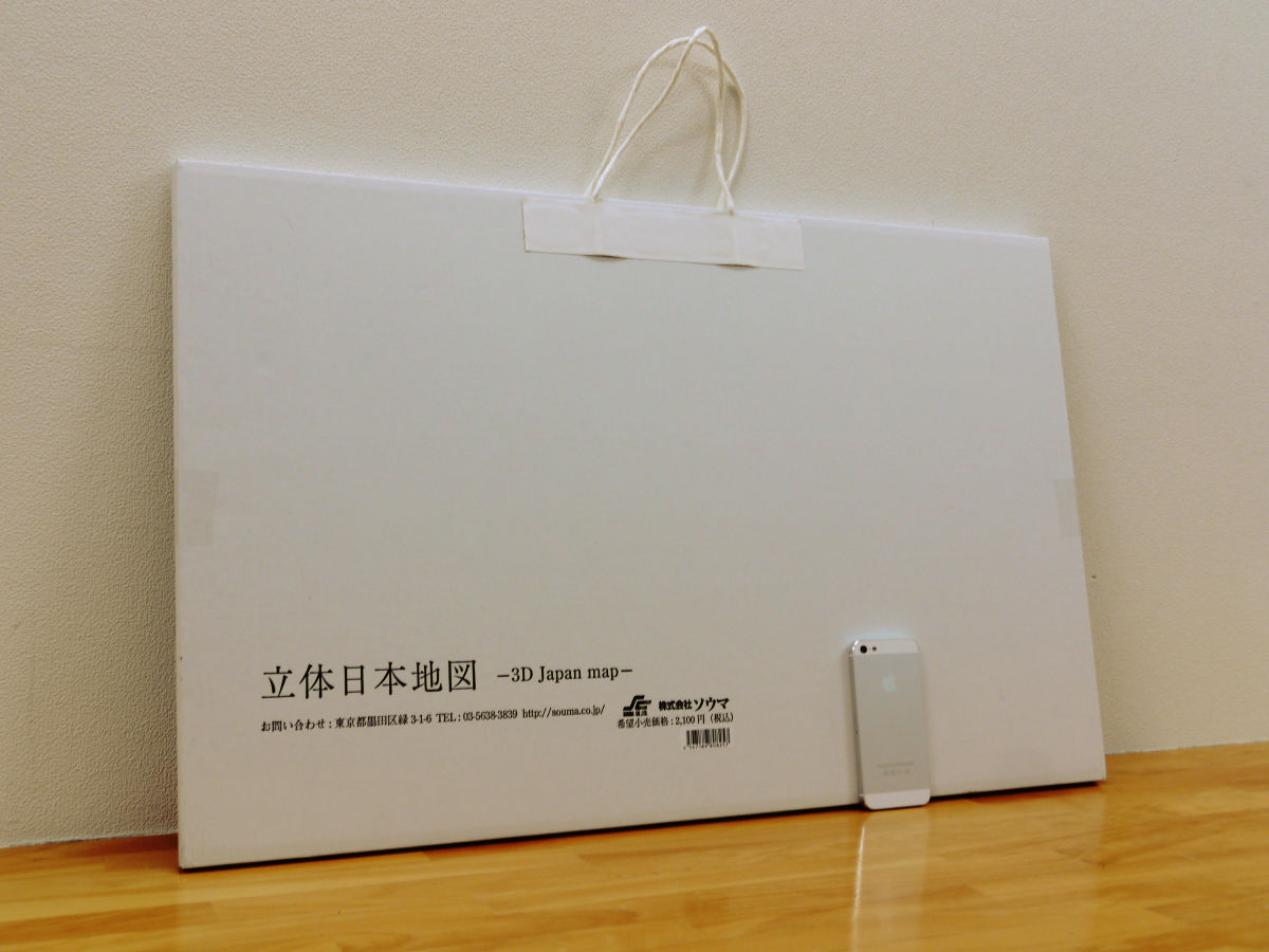
The three-dimensional Japan map is about 685 mm × 440 mm which is rather large.
Cardboard was handled so that it was convenient to carry around.

I will open corrugated cardboard immediately.
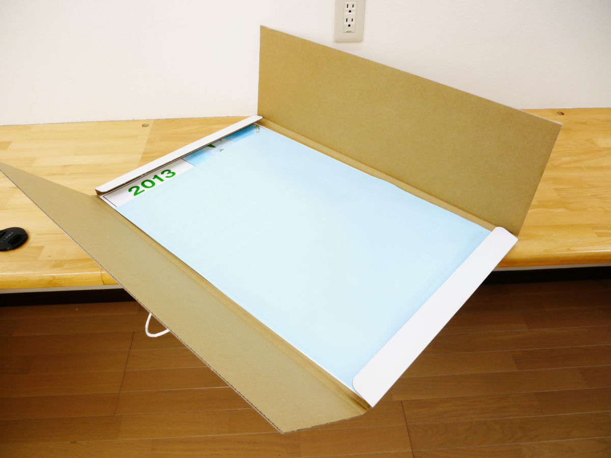
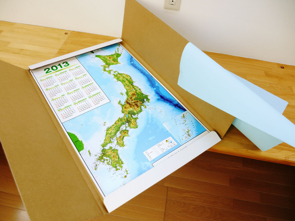
When we removed the light blue paper, a three dimensional Japan map appeared.
Comparing the size with iPhone 5 is like this.
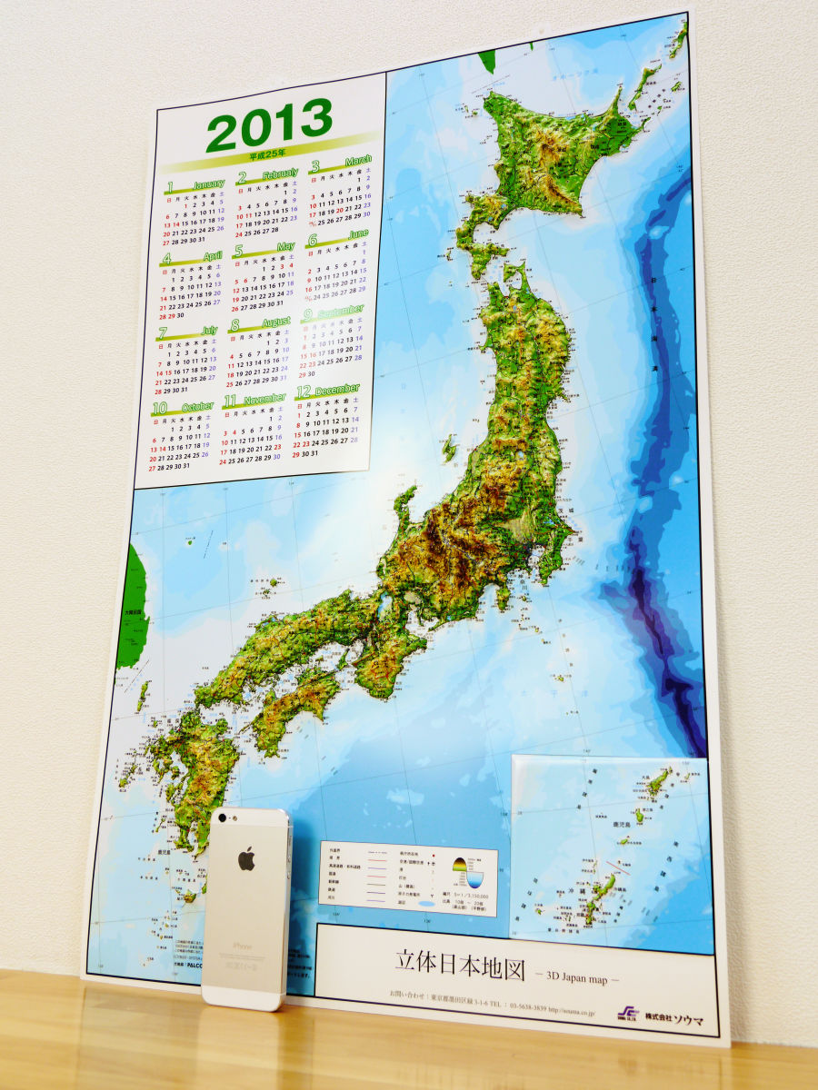
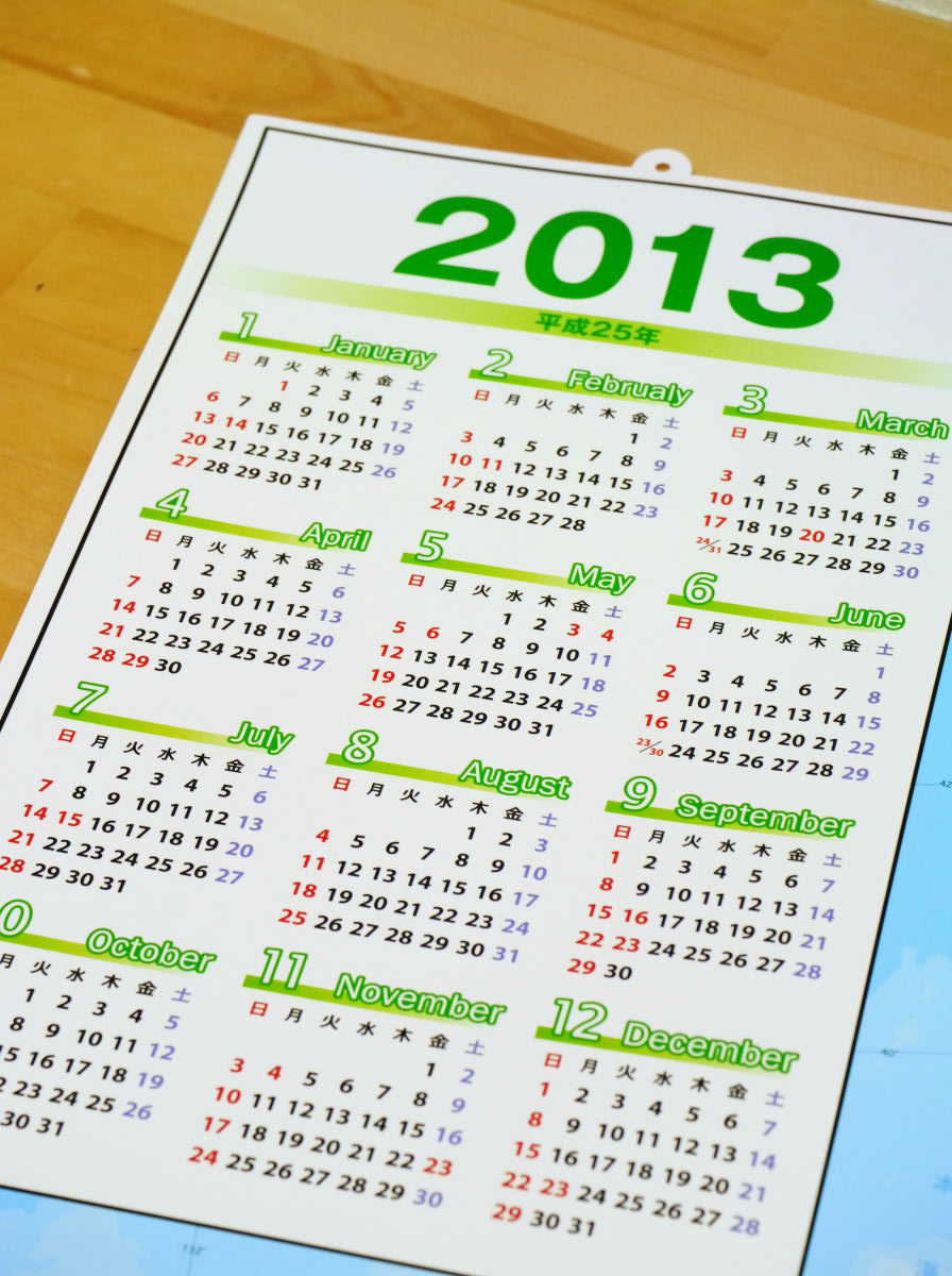
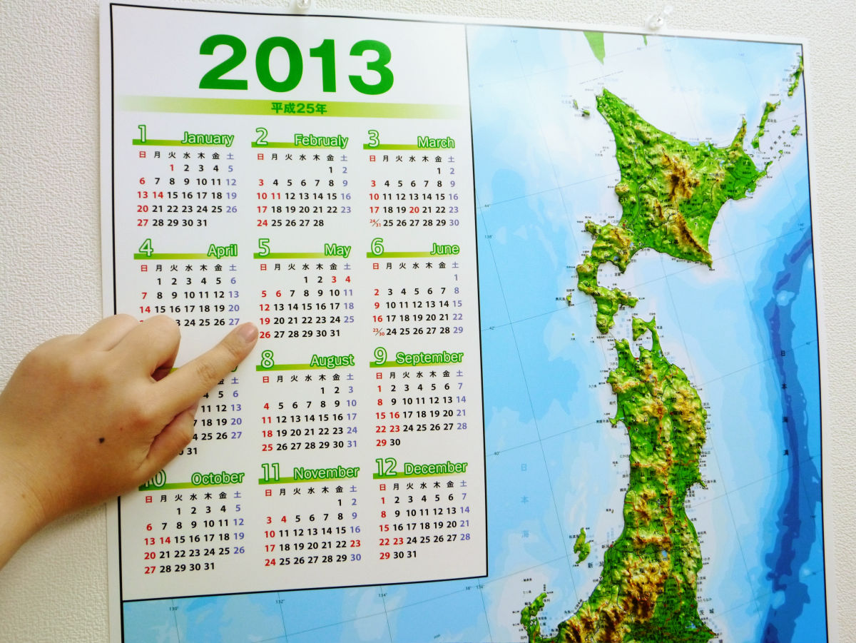
In the upper left is a calendar.
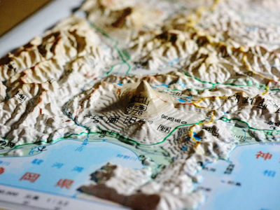
From the side, you can see that there is considerable irregularity.
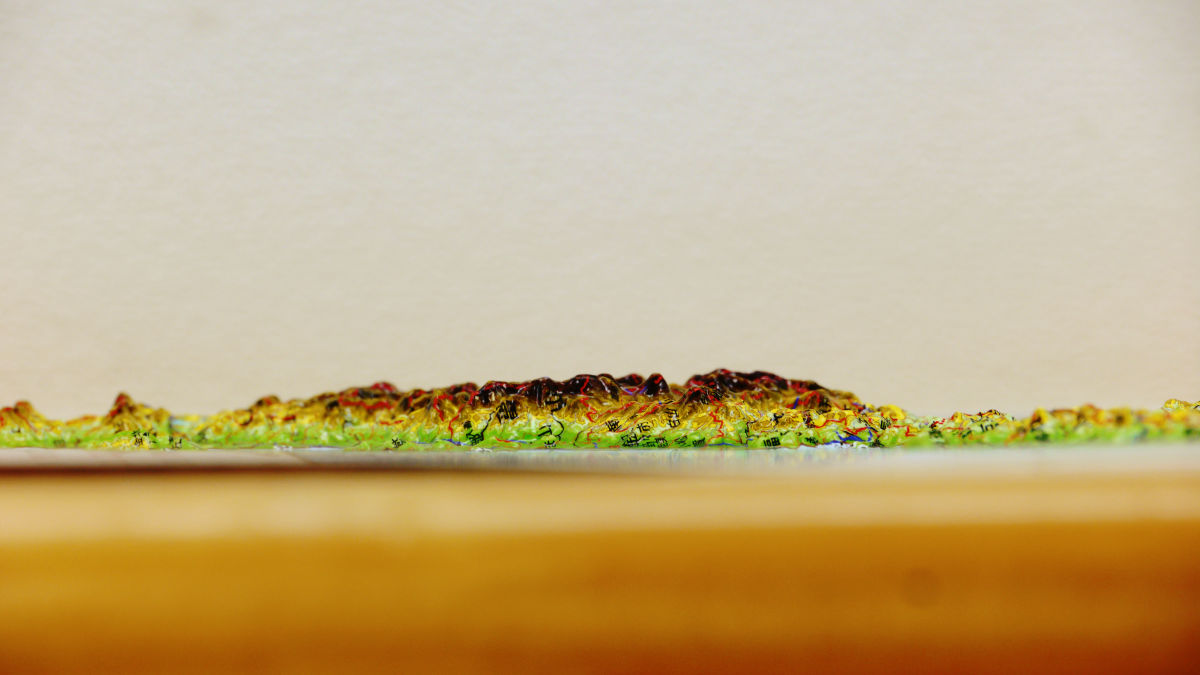
It has been reproduced tightly to the shape of a fine mountain.

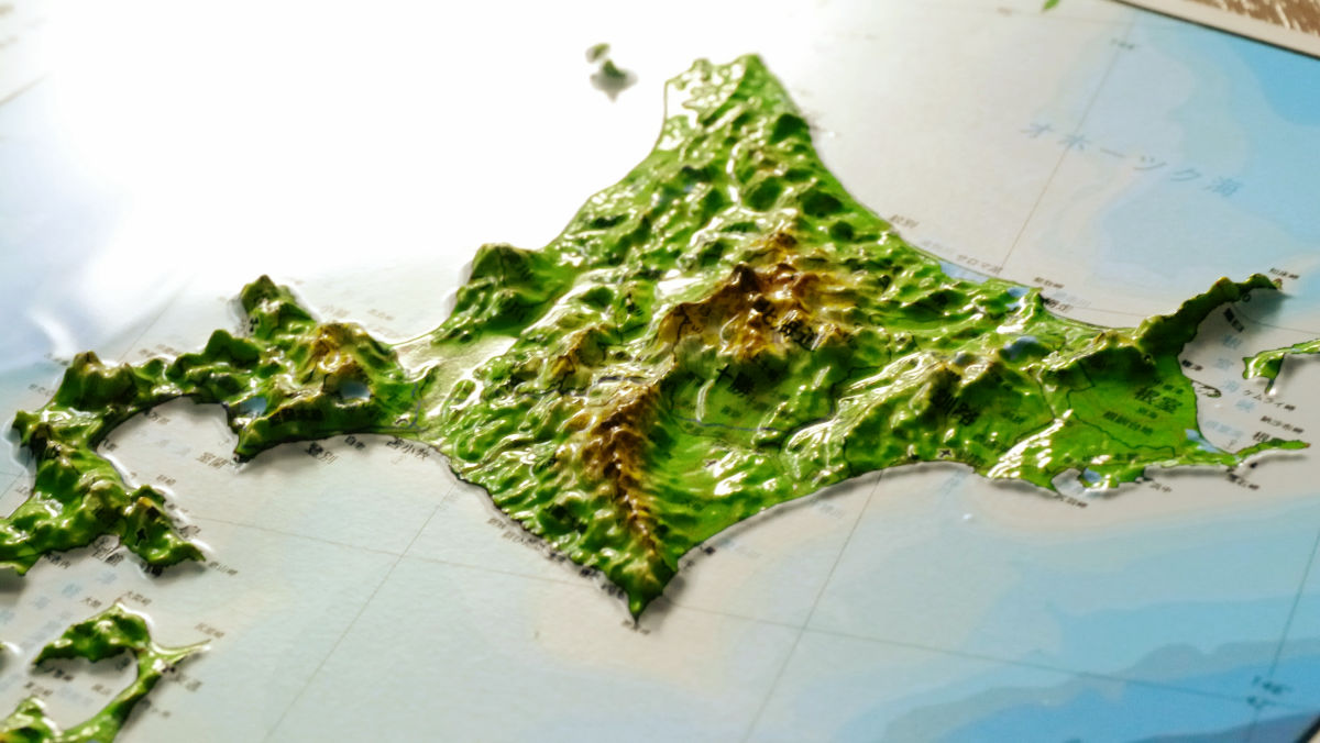
Details are as below. This is Hokkaido.
Tohoku region.
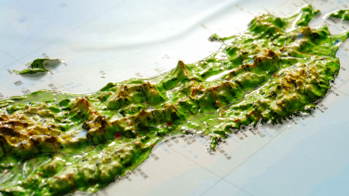
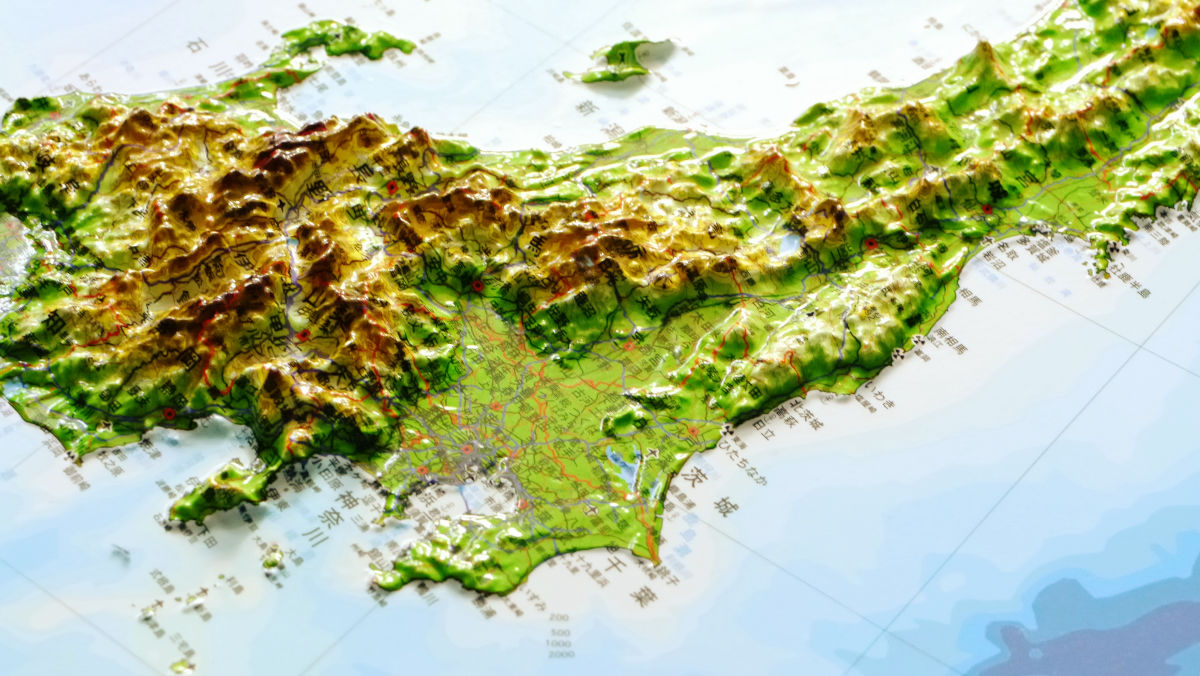
From the Kanto to the central part, the map is quite exciting.
Looking from the side like this.

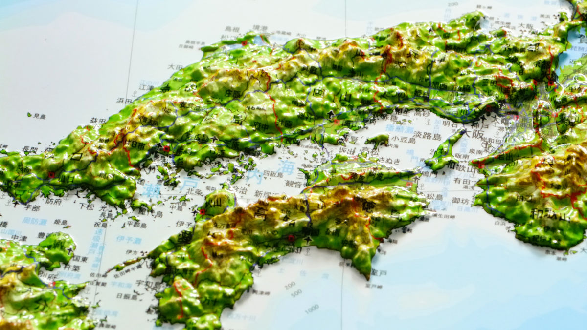
Kinki.

China · Shikoku region.
Kyushu region.

Yakushima uplifted quite a bit with only one point.
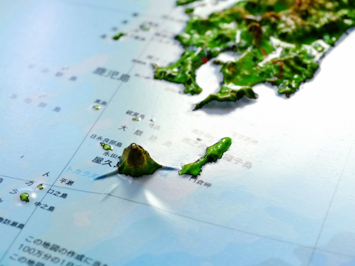
And Okinawa.
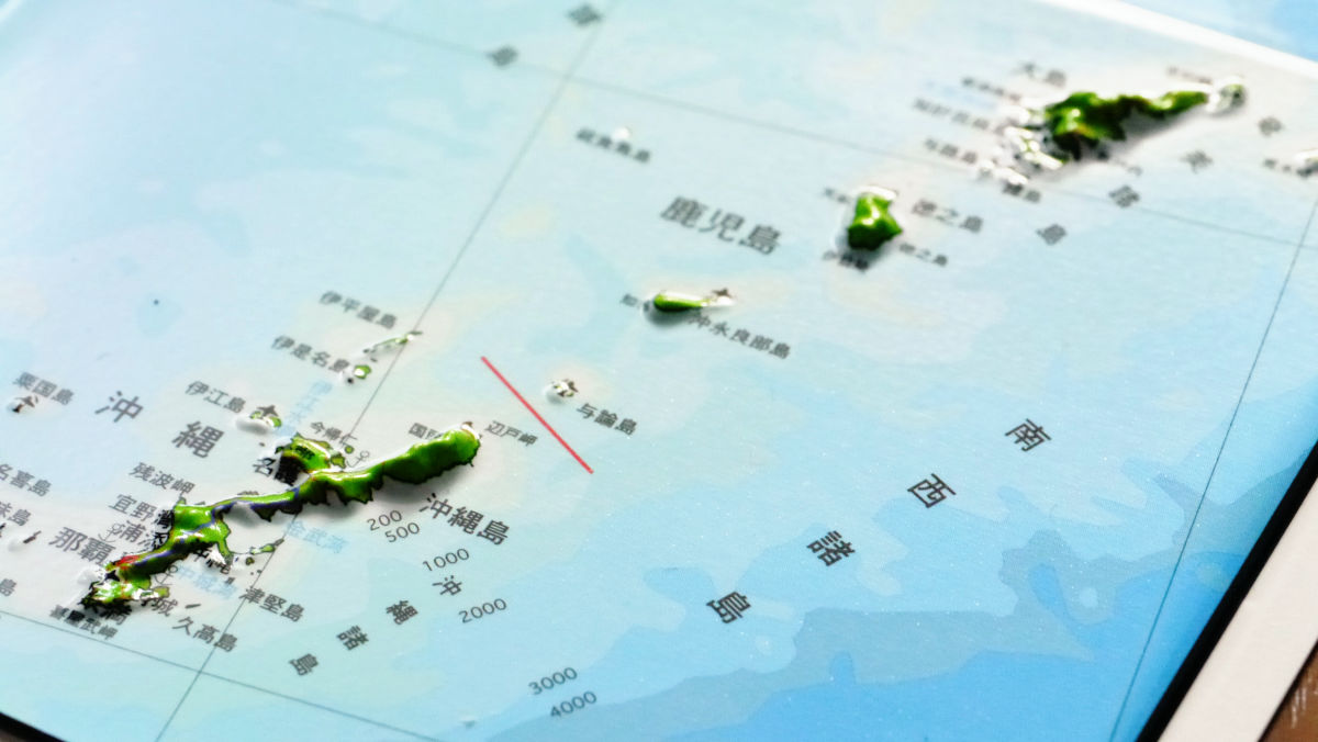
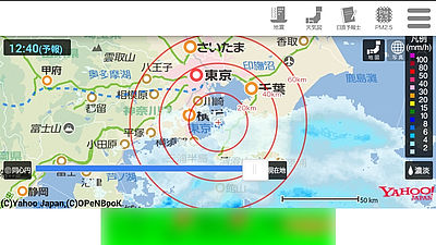
Three-dimensional Japanese maps can check national roads, bullet trains, prefectural office locations, etc. as well as locations of nuclear power plants in three dimensions.
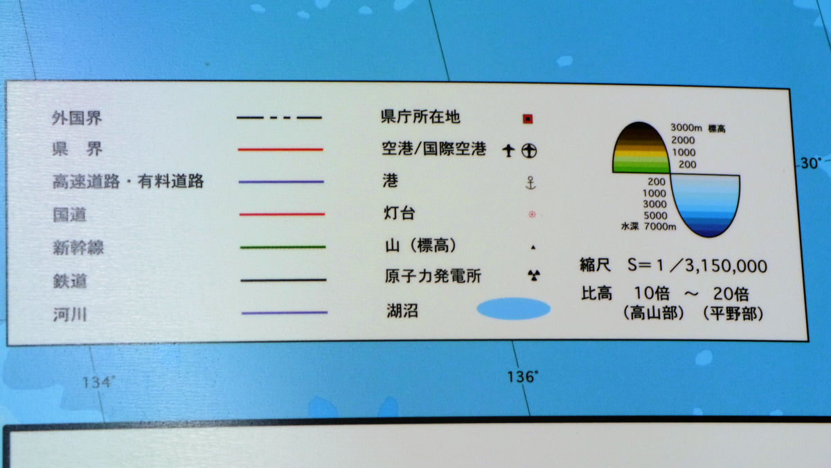
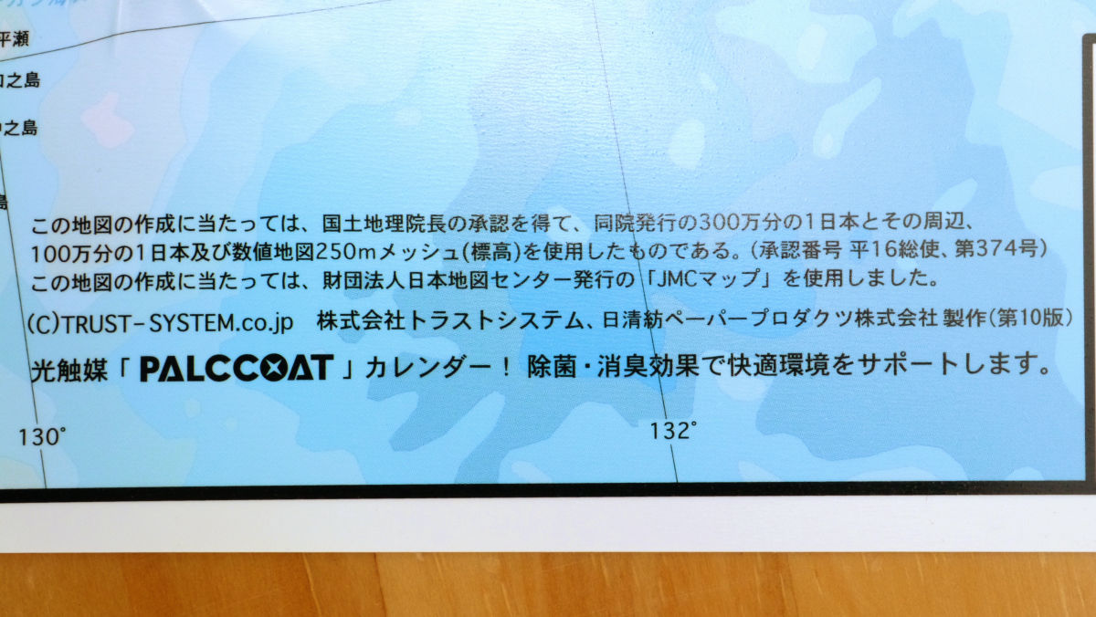
The map isGeographical Survey Institute1/3 million of Japan and its surroundings, one millionth of Japan and numerical map 250 m mesh (altitude) used. Photocatalyst coating "PALCCOAT"It is hard to get dirty as it is being processed, and furthermore it will demonstrate air purification function indoors.
When I actually stuck it in the room it looked something like this.
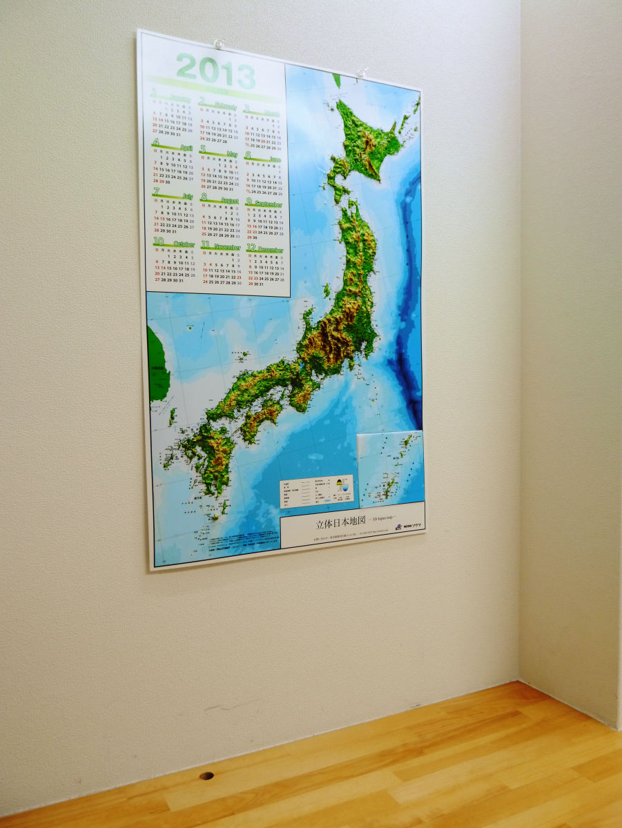
Since the calendar itself is written in a size that is easy to see, it not only serves as a map but also functions as a calendar.
Incidentally,Price includes 2100 yen including taxis.
Related Posts:


in Review, Posted by darkhorse_log