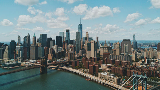
When the sea level rises due to global warming, Manhattan Island sinks so far
It is said that progress of global warming will have various effects on the environment, one of which is sea level rise due to swelling of seawater and melting of glaciers. If New York City's Manhattan island were to be affected by sea level rise, what would it be like?
Details are below.
Flood Maps I mentioned earlierI look like the following feeling.
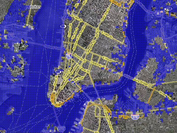
Case of sea level rise of 7 m. The East River that flows east of Manhattan Island doubles its width.
Flood Maps
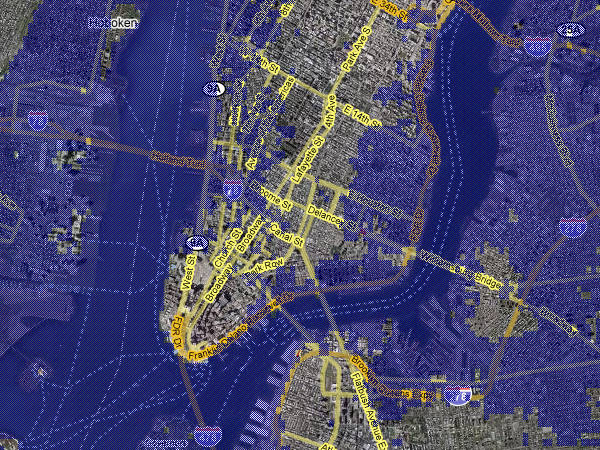
In the case of 14 m. Although damage to Manhattan is quite considerable, Wall Street seems to have little damage. I am not submerged.
Flood Maps
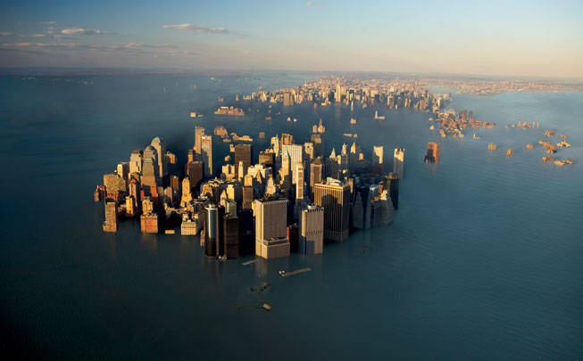
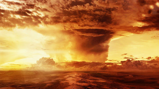
And, when Manhattan island is submerged, it is an image picture that it is. How much will it rise this way?
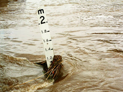
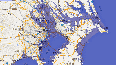
In Japan, 90% of the beach is lost only by rising the sea level by 1 m, and the east half of the 23 wards of Tokyo has a high tide level of 1 m or less. The damage will be bigger than New York, will not it?
What is Global Warming?
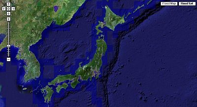
In the vicinity of Osaka it seems like this will be just the sea level rising by 1 m.
Flood Maps
Related Posts:
in Note, Posted by logc_nt