Google releases urban flood prediction maps, utilizing 'Groundsource,' a disaster prediction dataset construction method using Google Maps and Gemini.
Google has developed ' Groundsource, ' a dataset construction method for developing disaster prediction AI. A flood prediction AI has already been developed using Groundsource, and the flood prediction map 'Flood Hub' has also been released.
Boosting disaster resilience with Google's Groundsource
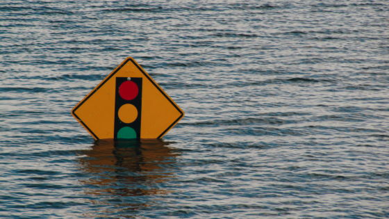
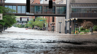
While high-quality datasets are necessary for AI development, Google says there were no high-quality datasets for specific flood events such as flash floods. Therefore, Google developed a dataset construction method called 'Groundsource' that combines Google Maps and Gemini.
Google's first use case for Groundsource was developing an AI system to predict urban flash floods up to 24 hours in advance. First, they used Gemini to analyze decades of disaster reports and identify over 2.6 million flood events that occurred in over 150 countries. Next, they pinpointed flood locations on Google Maps to create a dataset specifically for flash floods. They then used the dataset to train an AI system to predict flash floods.
Google has released a flood prediction map called 'Flood Hub' incorporating the AI it developed, available at the following link:
Flood Hub
https://sites.research.google/floods/
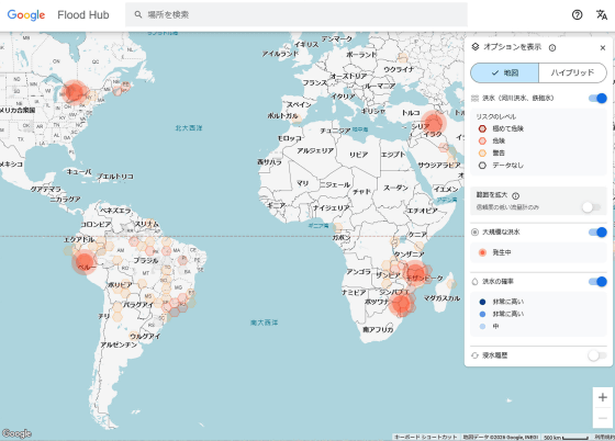
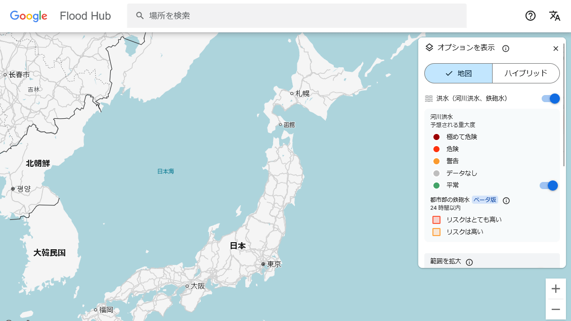
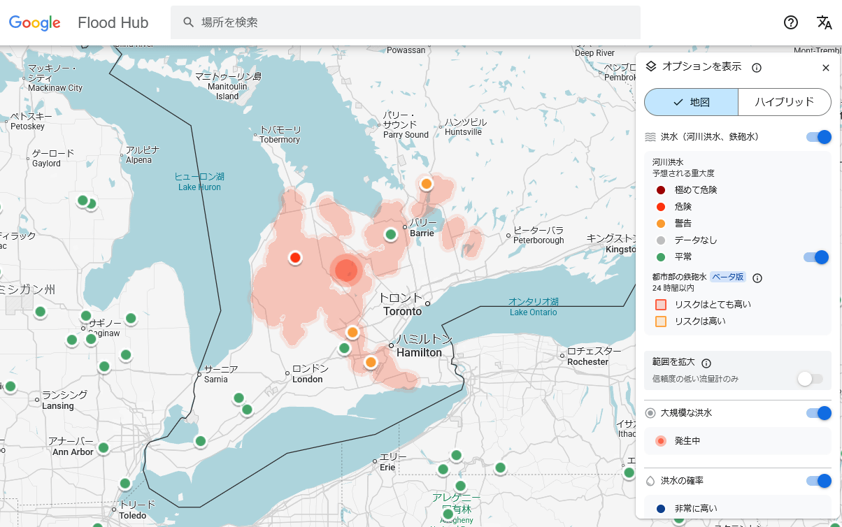
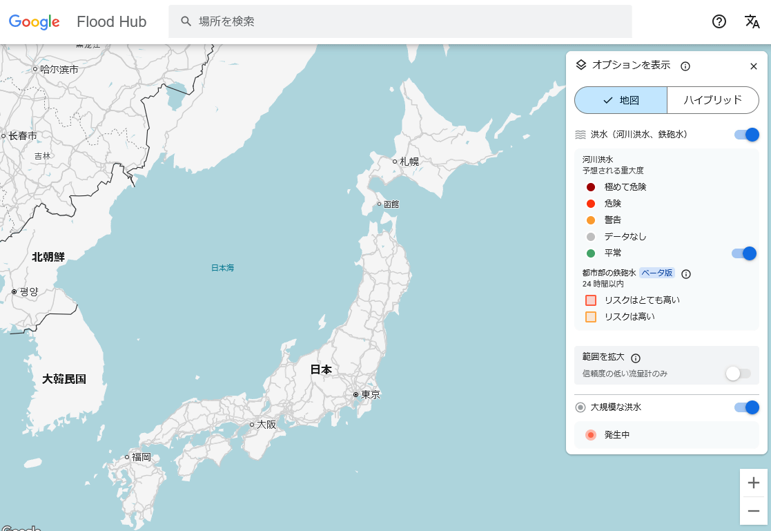
The map shows areas at high risk of flash flooding in orange and areas at very high risk in red. The map also shows the degree of risk of river flooding in different colors.
Japan is completely white, indicating a low risk of flash flooding for at least 24 hours.
According to Google, Groundsource could also be useful for building datasets for disasters like landslides and heat waves.
Related Posts:


in AI, Posted by log1o_hf