If science can be used to break down the mystery of the 'Sword of St. Michael', a group of holy places that connect Europe in a straight line, it will become like this
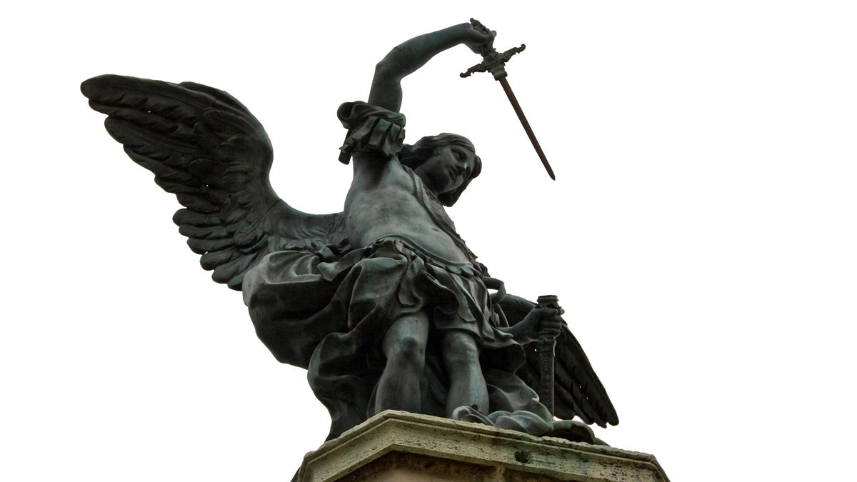
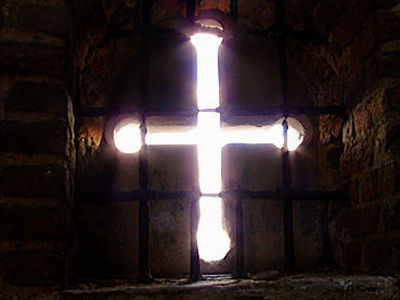
The line that connects the seven sacred places associated with Archangel Michael in Europe on a map is called the 'Sword of St. Michael' or the 'St. Michael Line.' There is even a legend that says, 'This ley line represents the blow that Michael used to knock the devil down to hell.' Sebastiano Ferraris, a data scientist who is knowledgeable about geographic information, has compiled the results of his investigation into this mysterious line.
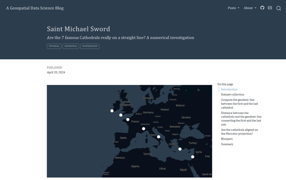
A Geospatial Data Science Blog - Saint Michael Sword
Saint Michael Sword: Are the cathedrals really on a straight line? | Hacker News
'Saint Michael's Sword' refers to the line that connects seven holy sites from Ireland to Israel. The places covered are of various types, such as 'monasteries' and 'places of worship,' but here we will group them together under the term 'holy sites.'
Below is a map of these holy sites, which is actually connected by lines. Looking at this map on Wikipedia, it certainly looks like the seven holy sites are lined up in a straight line.

However, Ferraris decided to check for himself whether the lines were really aligned in a straight line.
The seven holy sites depicted in the Sword of Saint Michael are:
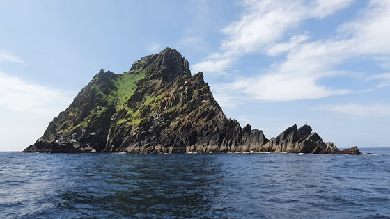
◆1:
This monastery is located on an island in the southwestern coast of Ireland and is also registered as a World Heritage Site . The Jedi ruins where Luke Skywalker lived were filmed on this island in the movies 'Star Wars: The Force Awakens' and 'Star Wars: The Last Jedi.'
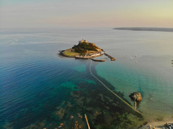
◆2.
It is an island off the coast of Cornwall in the southwest of Great Britain, and you can walk to it from Great Britain at low tide. It is sometimes described as the 'British version of Mont Saint-Michel' because of its appearance.
◆3. Mont Saint-Michel
An island in the Bay of Saint-Malo in the Normandy region of northwestern France and its monastery. It is also known as a World Heritage Site .

by Amaustan
◆4:
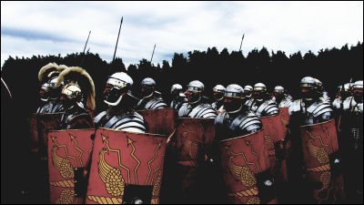
A monastery on Mount Pirkigliano in northern Italy. In ancient times, it was a military base along the road connecting Rome and Gaul , and after the fall of the Western Roman Empire, it was a fortress built by the Lombards in preparation for the invasion of the Franks. The oldest record of the monastery dates back to the 11th century.

By Elio Pallard
◆5:
A pilgrimage site in the Apulia region of eastern Italy facing the Adriatic Sea. It is one of the components of the World Heritage Site ' The Lombards in Italy: In the Footsteps of Power (568-774) '.

by Bernard Gagnon
◆6: Monastery of St. Michael the Archangel in Panorama (Santo Monastero di Taxiarchi Michail)
Symi monastery on the island of Symi in the Dodecanese islands in the southeastern Aegean Sea. There are 13 churches and monasteries on the island, and it is one of the most important places of worship dedicated to St. Michael.

By Karelj
◆7:
The monastery is located in the Haifa area in northern Israel. Mount Carmel, where the monastery is located, has been an object of worship since ancient times and is known as one of the lands conquered by the ancient Egyptian king Thutmose III in the 14th century BC. Records of the monastery's founding date back to the Eastern Roman Empire (Byzantine Empire) .

by זאב שטיין
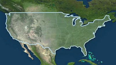
After Ferraris obtained the locations of the seven holy sites and marked them on a map, he decided to draw a straight line between the farthest one, Skellig Michael, and Stella Maris Monastery, and visually confirm the distance between the remaining five holy sites and the line.
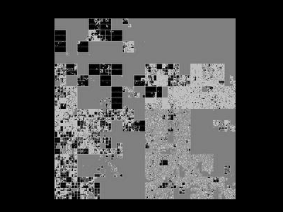
A map created by Ferraris showing the locations of the 'holy places' in great detail.
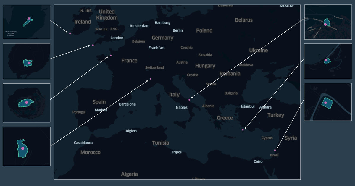
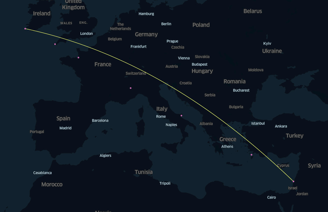
As shown on the map on Wikipedia, if you draw a straight line on a Mercator projection map, the holy sites are indeed lined up in almost a straight line.
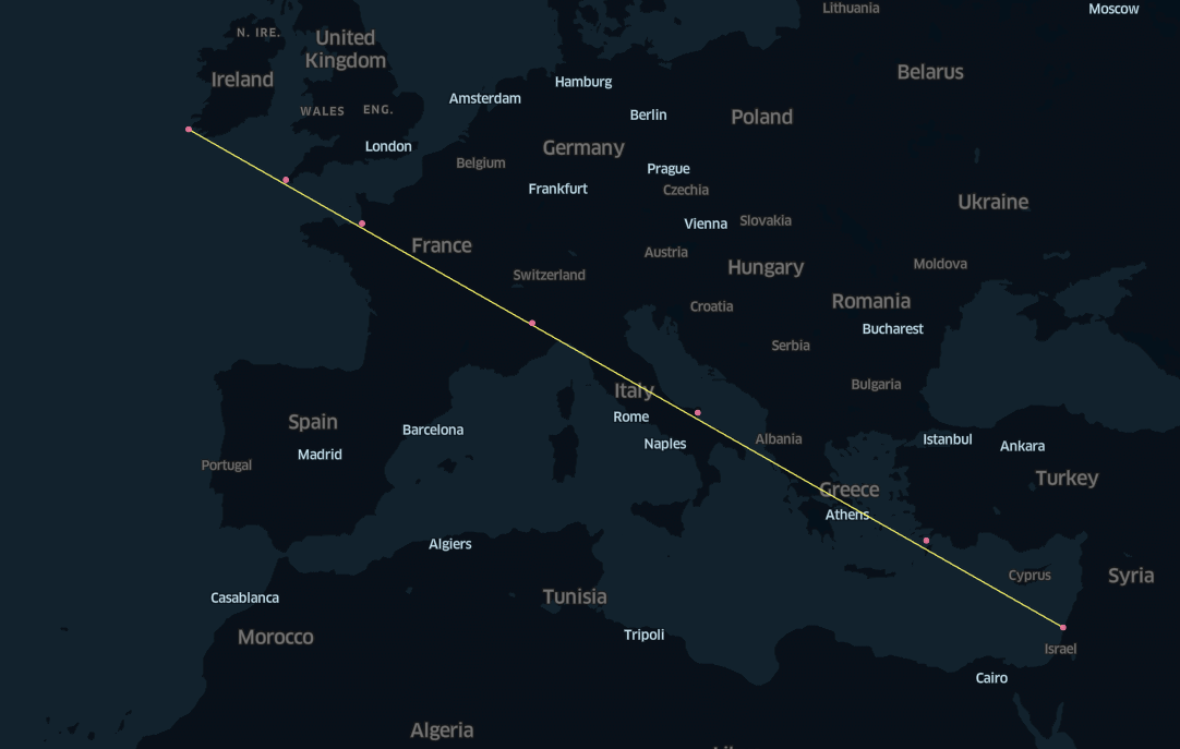
However,
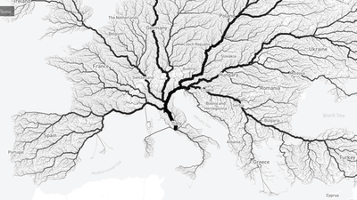
There are various opinions on the social news site Hacker News. araes points out that there are many monasteries and holy places named after 'St. Michael' along the geodesic line . empath75 says that some of the seven holy places have no connection to Michael . miniwark says that if the 'seven holy places' are set, there should be more important places like Castel Sant'Angelo in Rome and the Abbey of Saint-Michel de Cuxa in France, and adding these would easily break the line . Broken_Hippo says that there are 816 churches named after St. Michael in the UK alone .
In summary, it is not wrong to say that the seven holy sites are on a straight line according to the Mercator projection, but since some of the sites have little to do with St. Michael, it seems that these seven sites do not have any significant meaning for St. Michael.
Related Posts:
in Note, Posted by logc_nt