What is the expected route for Russia's invasion of Ukraine?
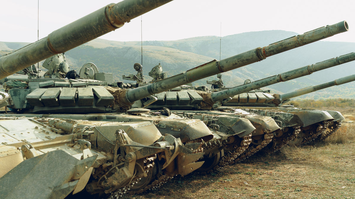
Tensions are rising over Ukraine, with Russia
Russia's Possible Invasion of Ukraine | Center for Strategic and International Studies
https://www.csis.org/analysis/russias-possible-invasion-ukraine
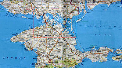
According to CSIS, the possible invasion routes are roughly divided into three routes: 'north route' (green arrow in the figure), 'center route' (blue arrow in the figure), and 'south route' (purple arrow in the figure). Within each route, multiple routes are assumed.
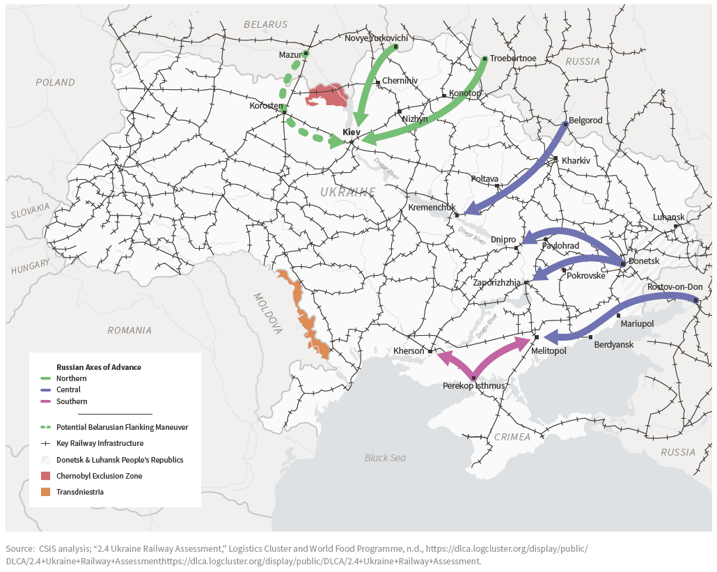
The 'North Route' aims to immediately conquer Kiev, the capital of Ukraine. The shortest route is from Novi Jurkovich, which is close to the borders of Russia, Ukraine and Belarus, to the southwest via Chernihiv , and the travel distance is about 250 km.
There is also an envisioned route heading west from Troebortnoe in the western part of Kursk , known as the industrial city. The travel distance is about 400km.
If If Belarus has recognized domestic passage of the Russian army in some way, cities and of Belarus southern mazyr from Korosten also considered route going through. The distance traveled is about 300km, and if this route is available, the Russian army is more likely to outsmart the Ukrainian army.
The 'central route' goes west through the land of Ukraine. The first is the route from Belgorod to Kremenchuk along the Dnieper River via Kharkiv and Poltava. The travel distance is about 330km.
In the Ukraine the country seeking a transfer to Russia Donetsk People's Republic capital of the Donetsk from one of the international airport Dnipro is in and the south Zaporozhye route that aims to be is assumed. The travel distance is about 260km.
In addition, Rostov-on-Don from the Azov sea along the Melitopol There is also a route that aims to. The travel distance is about 370km.
The 'South Route' uses the Crimean Peninsula , which Russia claims to have transferred from Ukraine in 2014. Cross the Perekop Isthmus and invade Ukraine for Kherson . Kherson is said to be a source of fresh water for the Crimean Peninsula.
Heading from the Isthmus of Pelecorp to Melitopol, you can also join troops from Rostov-on-Don. There are cities such as Mariupol and Berdyans'k on the coast of the Sea of Azov, so it is expected to be combined with attacks targeting these cities. However, it has also been analyzed that it will be difficult to maintain supply lines in the coastal areas of the Sea of Azov because there are no railroads running in the direction of invasion.
Related Posts:


in Note, Posted by logc_nt