I tried using the open source map application 'Organic Maps' that can be used outside the service area for free and without ads
Map services such as Google Maps are very convenient services that automatically tell you the route to your destination, but on the other hand, it has been pointed out that the handling of location information threatens your privacy. ' Organic Maps ' is an open source and free map app for cycling, hiking, and walking that allows you to download maps based on the
GitHub --organicmaps / organicmaps: ???? Organic Maps is a better fork of MAPS.ME, an Android & iOS offline maps app for travelers, tourists, hikers, and cyclists based on top of crowd-sourced OpenStreetMap data and curated with love by MAPS.ME founders. No ads, no tracking, no data collection, no crapware.
https://github.com/organicmaps/organicmaps
In addition to iOS and Android versions of Organic Maps, Huawei OS versions are also available. This time I will actually use the iOS version on the iPhone.
Organic Maps on the App Store
https://apps.apple.com/app/organic-maps/id1567437057
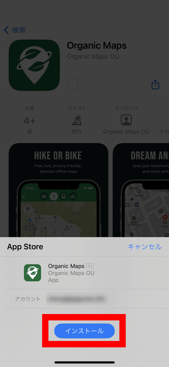
First, tap 'Get' on the Organic Maps page of the App Store.

A pop-up will appear from the bottom of the screen, so tap 'Install'.
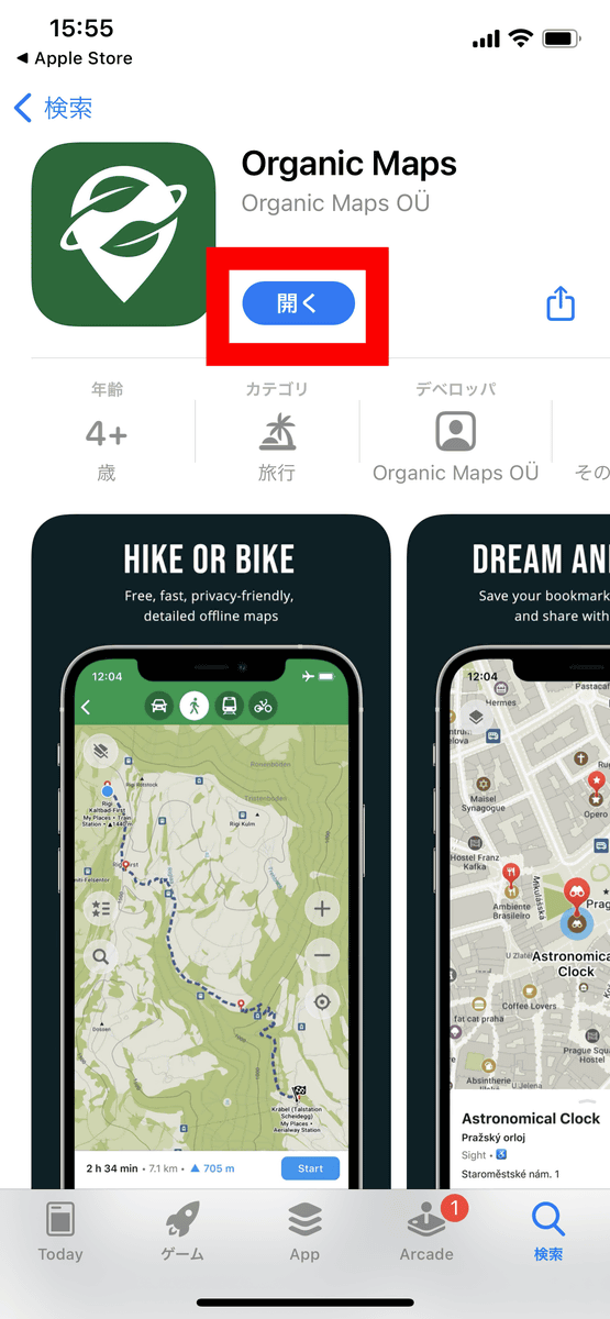
Then it will be downloaded and installed automatically, so press 'Open' to start the application.
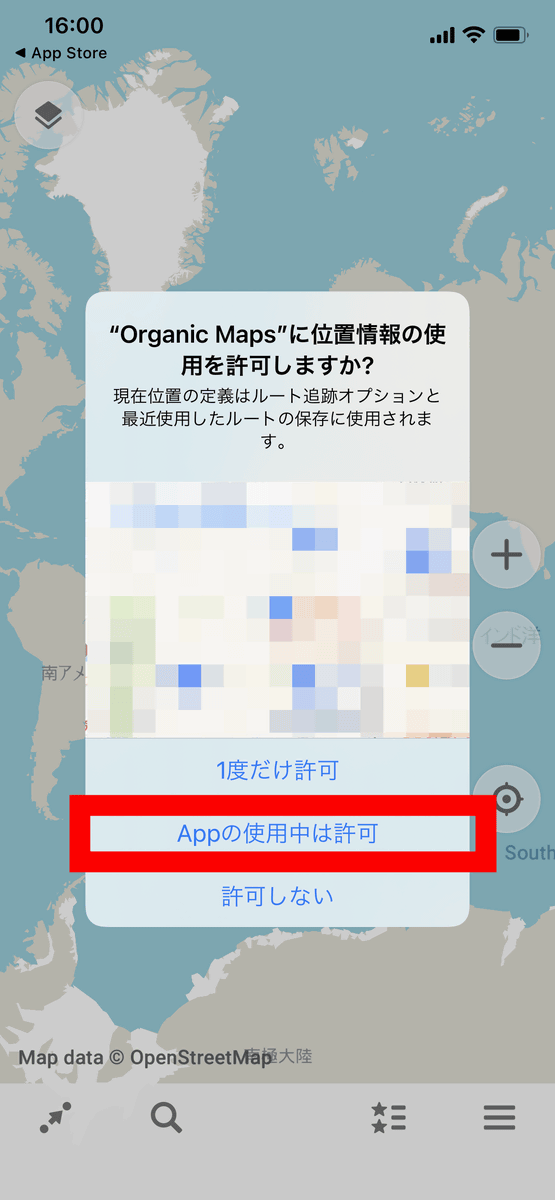
At the first startup, the message 'Do you want to allow the use of location information?' Is displayed as shown below. It is possible to use it without permission, but if you allow it, your current position will be displayed on the map, so this time select 'Allow while using the app'.
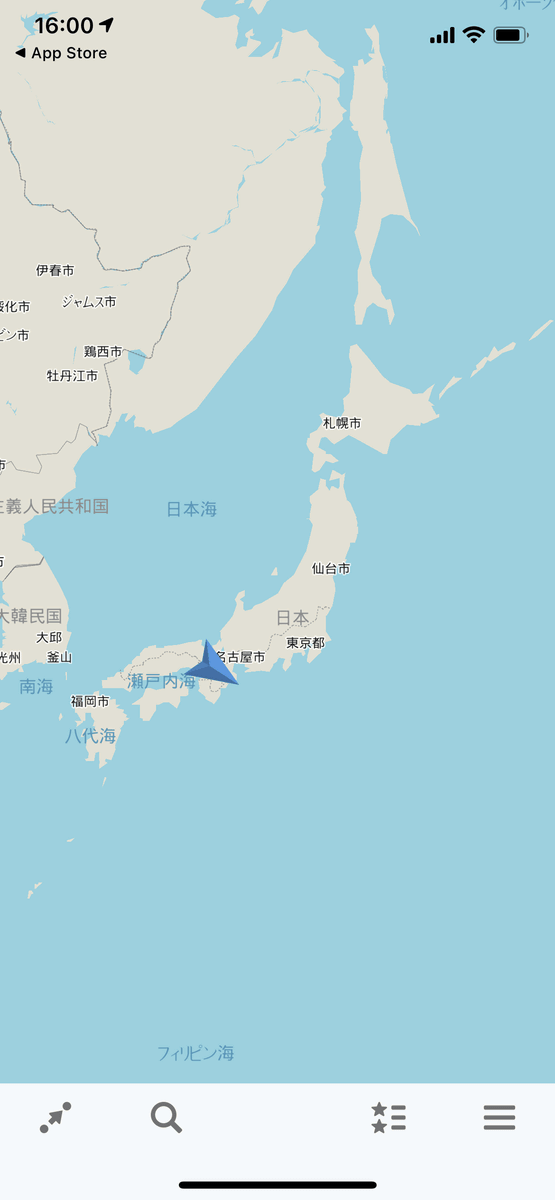
In the initial state, the world map is all gray as shown below.
As you zoom in on the screen with the pinch out or zoom button, you will be asked for permission to download map data for the areas shown below. Organic Maps does not download the data of the whole world at the time of installation, but it seems that the map data of each region is downloaded separately as needed. Since the map data for each area is about several tens of MB, it seems better to download the map data in advance under a Wi-Fi environment.
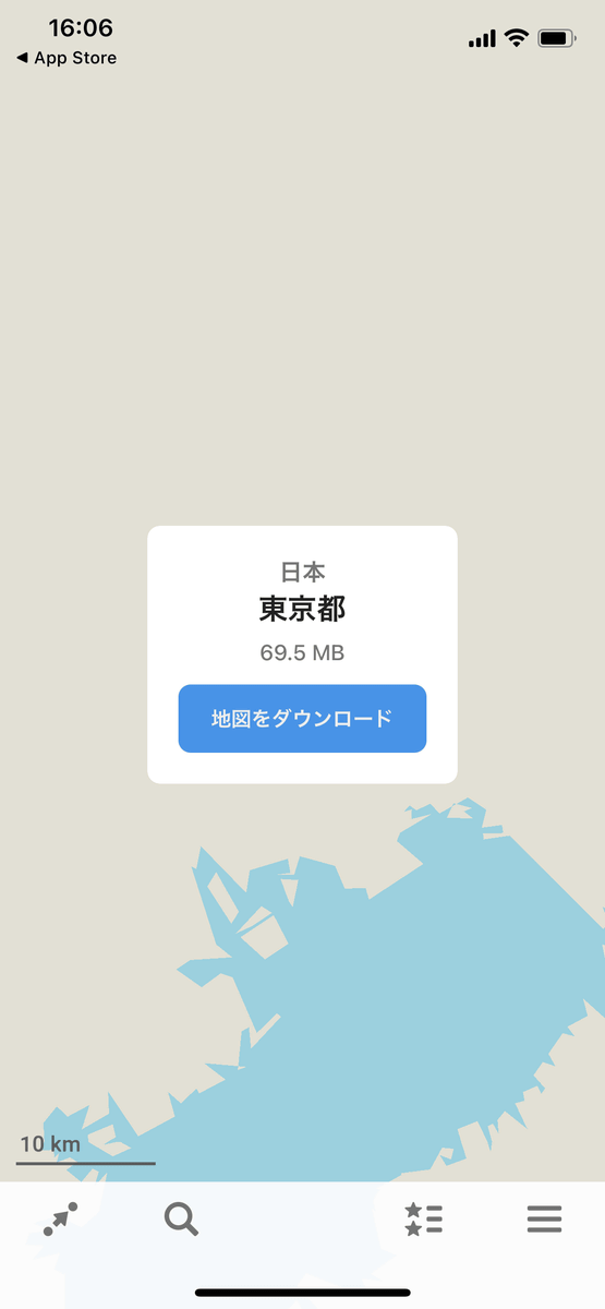
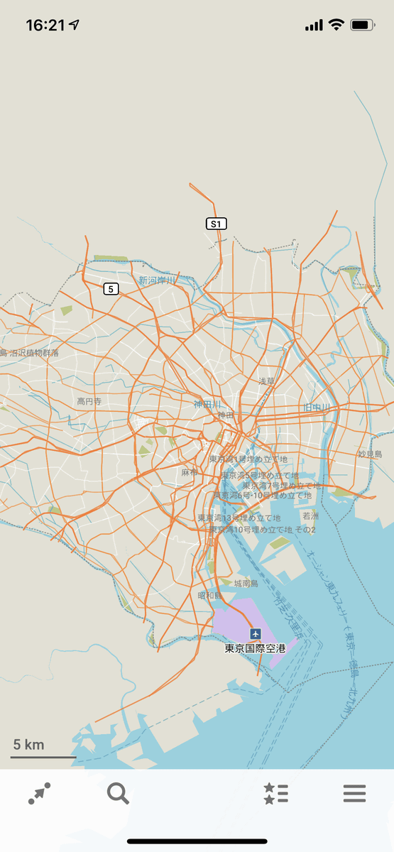
The state where the map data of Tokyo is downloaded is as follows.
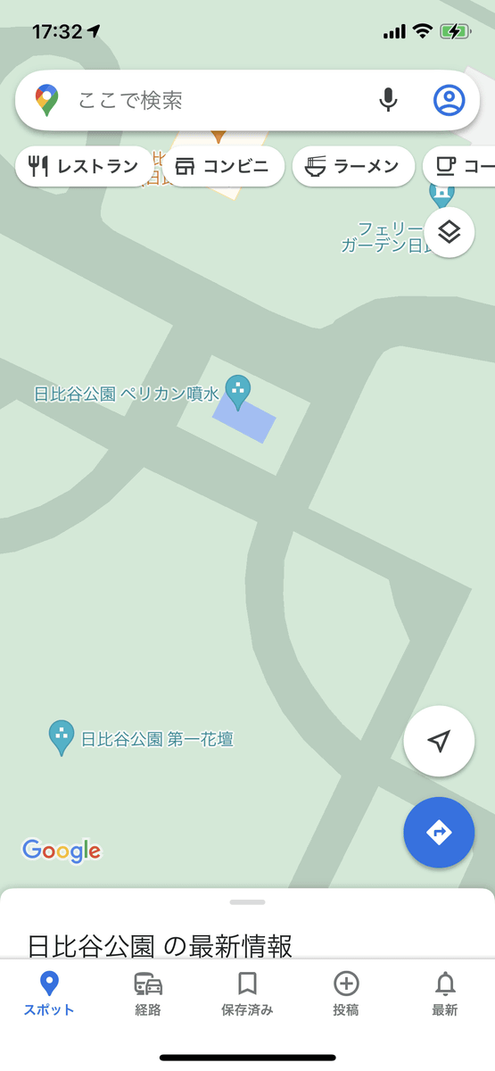
It's an app for cycling, hiking, and walking, so when you look at Hibiya Park, it looks like this.
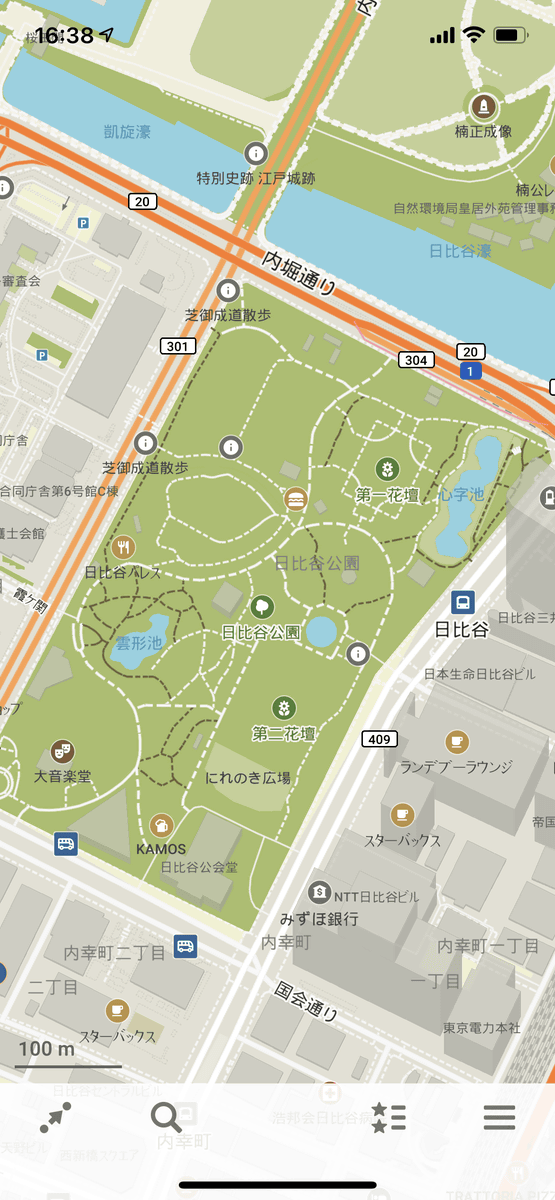
When you zoom in, you can see the information board, water supply, and the position of the trash can.
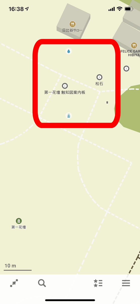
On the other hand, the one that displays almost the same position on Google Maps is as follows. The point that 'Daiichi Hanada' is displayed remains the same, but there is no information such as information boards and water supply. The amount of information does not increase even if you zoom in further.
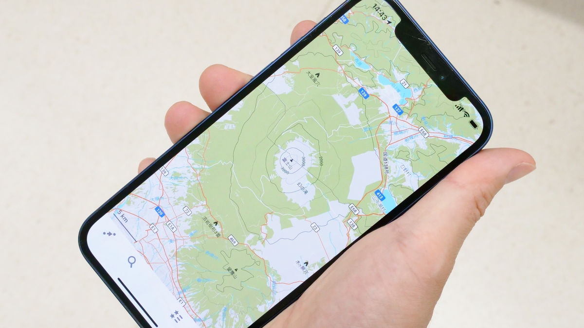
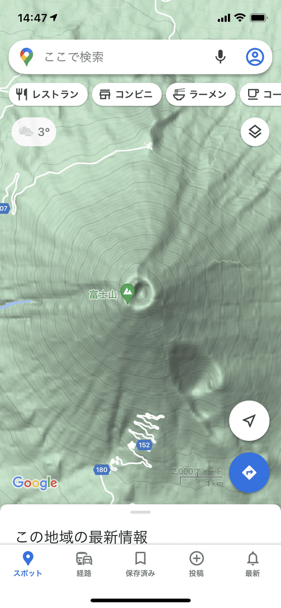
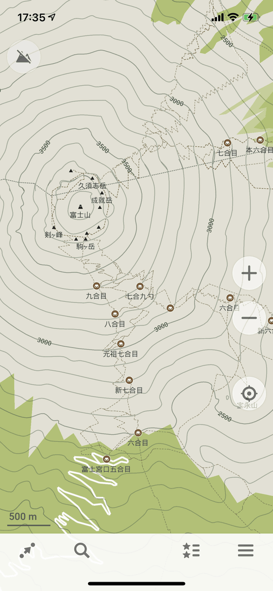
Next, let's take a look at Mt. Fuji, which is a typical mountain climbing spot. The Organic Maps side is below.
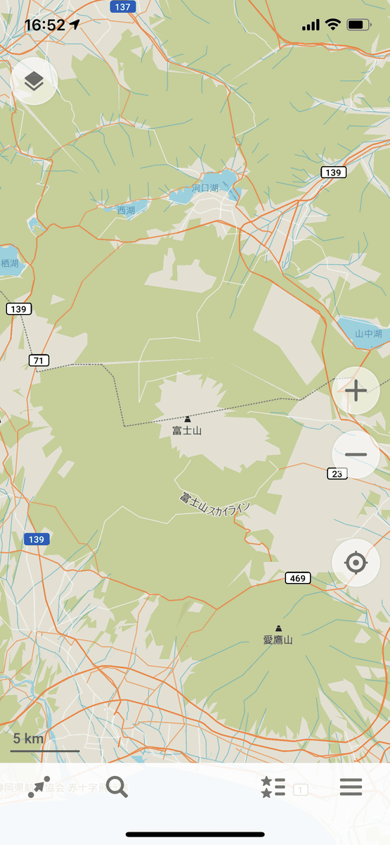
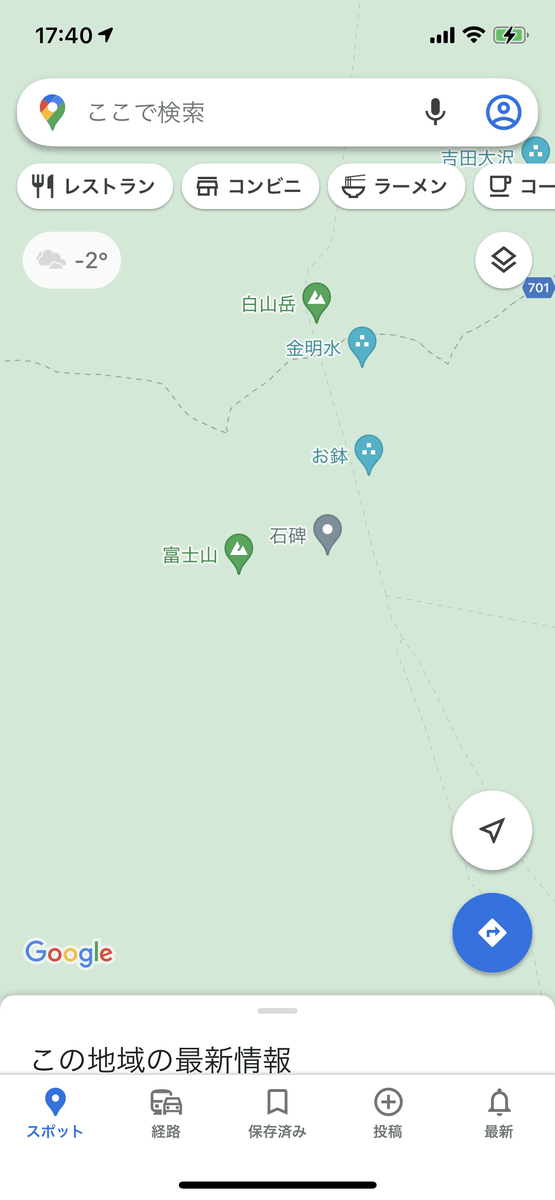
On the other hand, Google Maps does not even display the name of Mt. Ashitaka, which is located to the south of Mt. Fuji, like this.

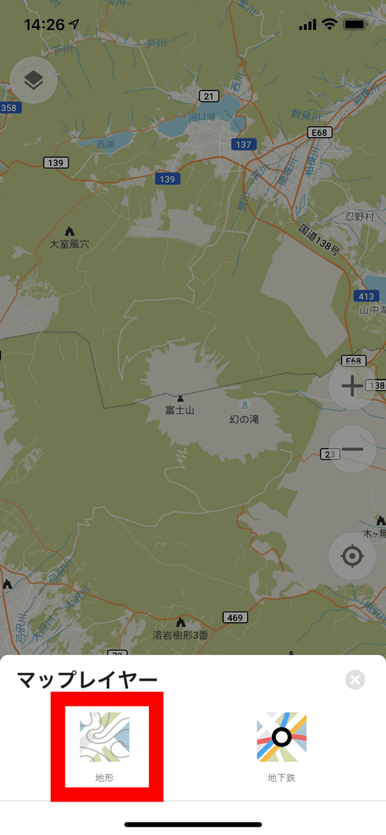
In addition, the Organic Map can also display contour lines. Tap the icon in the red frame at the bottom left of the screen ...
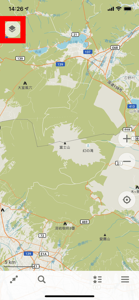
Select 'Terrain'.
Then the contour lines will be displayed as shown below.

Google Maps can also display contour lines from 'Terrain' of 'Layer', but it will not be displayed unless you zoom in considerably, and the contour lines are too fine to understand.
Even when zooming, Organic Maps will display the climbing route and checkpoints such as the 9th and 8th stations as shown below ...
Google Maps is visibly less informative.
For the time being, Google Maps also displays mountain climbing routes and checkpoints by zooming, but since it is necessary to zoom considerably in order to display it, 'I know the overall picture of the mountain climbing route roughly' 'Multiple mountain climbing It could not be used for purposes such as 'comparing routes'.

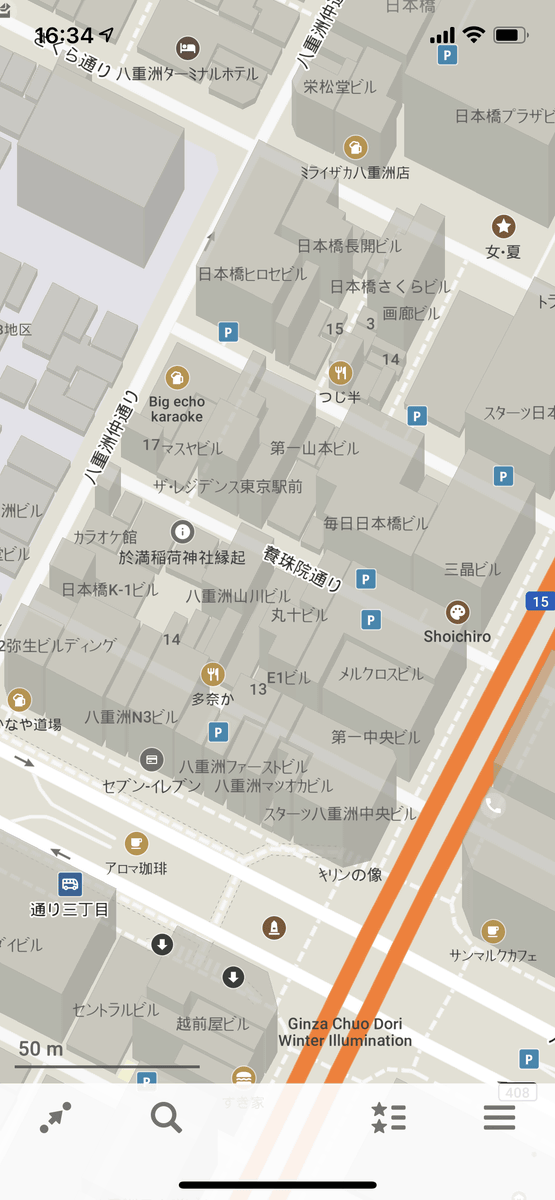
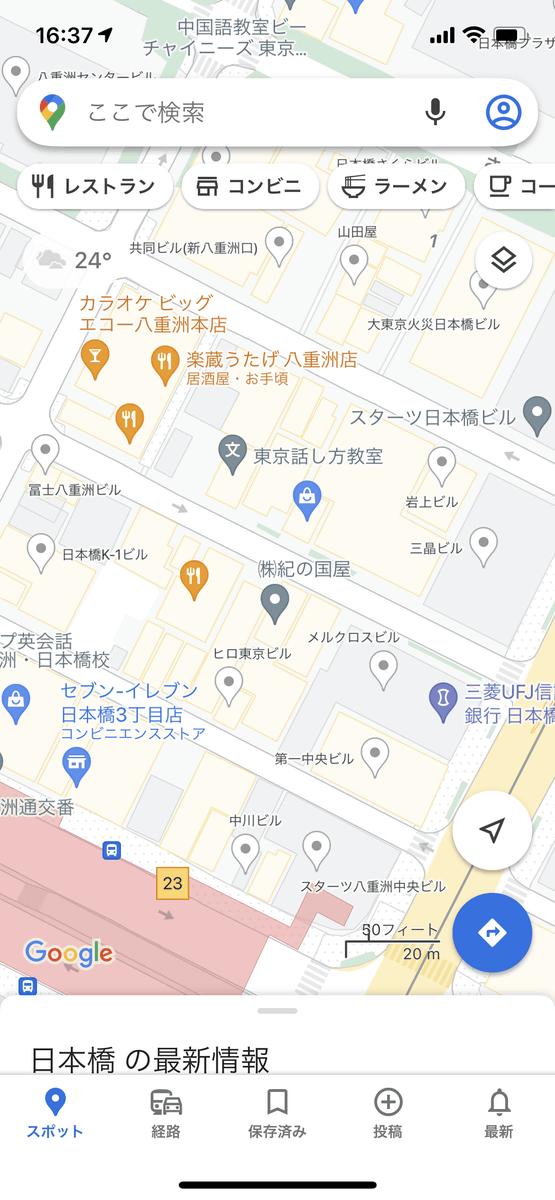
On the other hand, Google Maps is most effective in urban areas. For example, if you display the area around Tokyo Station on Organic Maps, it looks like this, and you can hardly understand the facility information inside the station building ...
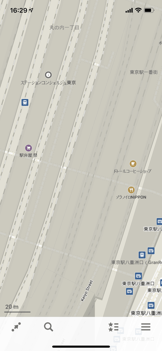
On Google Maps, you can display the outline of the store and the position of the escalator in detail for each level, and you can also browse detailed information by tapping the store.

Even in urban areas, Organic Maps only displays the names of buildings, etc ...
Google Maps also tells you information about the stores in the building.
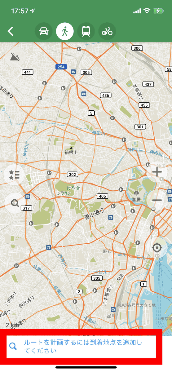
In addition, you can also search for routes on Organic Maps. Tap the icon in the red frame at the bottom left of the screen.

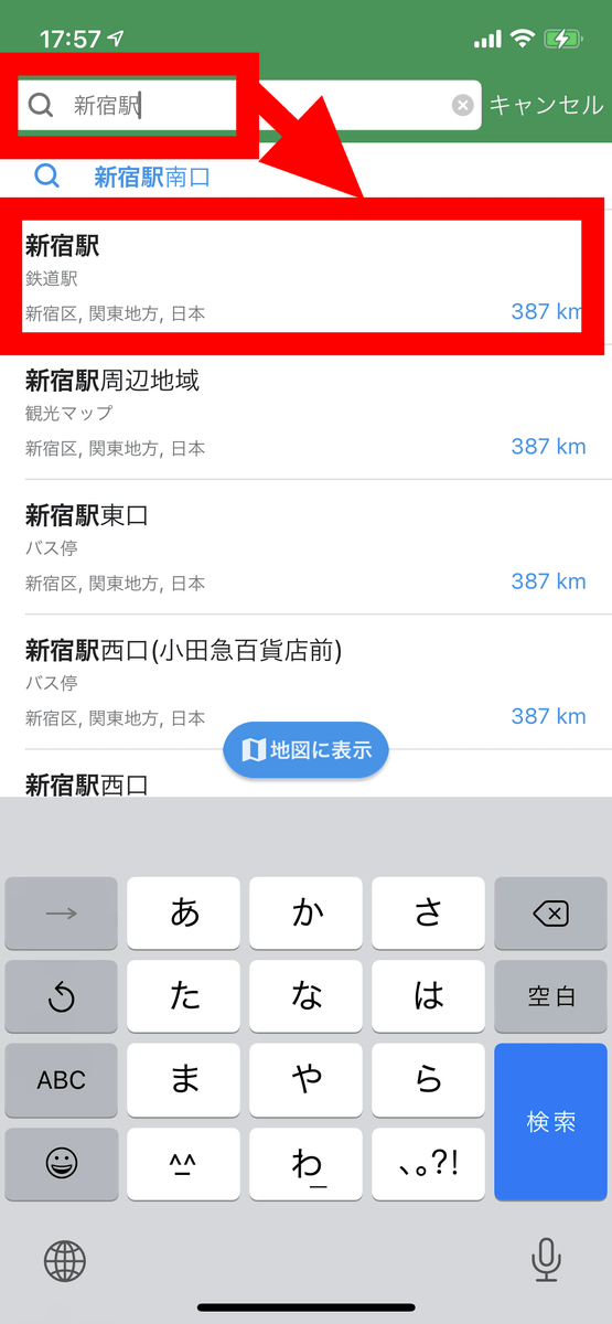
You can set the destination by tapping on the map, but if you want to specify the station or store directly, 'Please add the arrival point to plan the route' is displayed at the bottom of the screen. , Tap here.
A search field will be displayed, so search for and select your destination.
If you add a starting point in the same way, the route connecting the two points will be displayed. However, it seems that it is not possible to compare multiple routes and only the optimum data judged purely by Organic Maps is displayed.
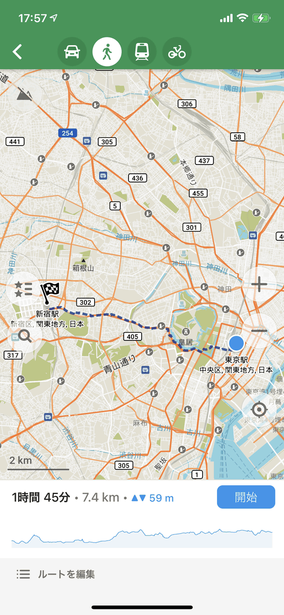
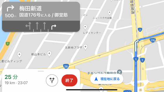
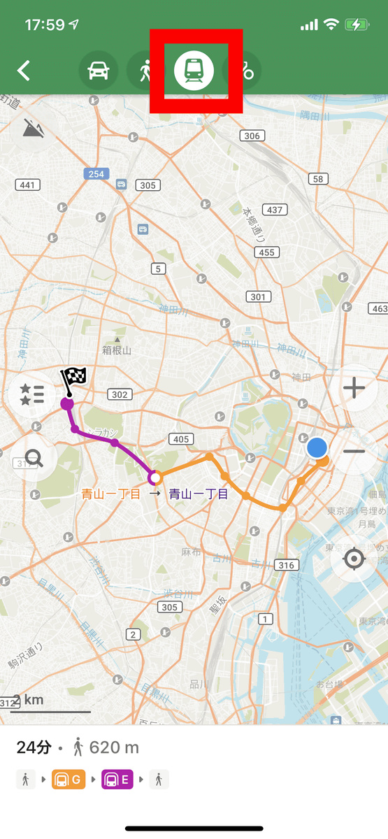
You can also select 'car', 'walk', 'train', 'bicycle' and the movement method from the icons at the top of the screen. However, when traveling by train, it does not provide accurate transfer information as shown below. For example, even if you search for a train route from Shinjuku Station to Tokyo Station, 'Transfer at Aoyama 1-chome Station, the total travel time is I only know that the walking distance is 620m in 24 minutes.
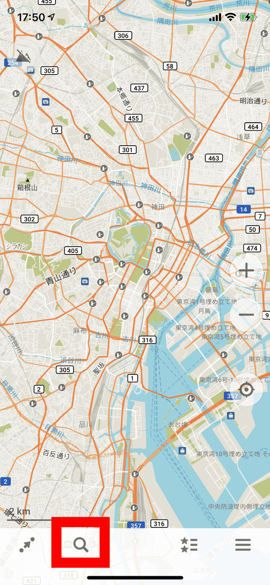
In Organic Maps, you can also search for place names, store names, etc. from the magnifying glass icon.
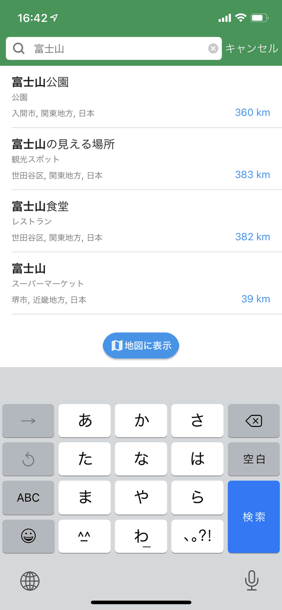
However, it should be noted that it is not possible to search for place names and stores in areas where map data has not been downloaded, and when I searched for 'Mt. Fuji', it was already in the state where map data near Mt. Fuji was not downloaded. Only the supermarket called 'Mt. Fuji' and 'stores where you can see Mt. Fuji' appear in the search results in the area where you are downloading, and you could not search for the main body of Mt. Fuji.
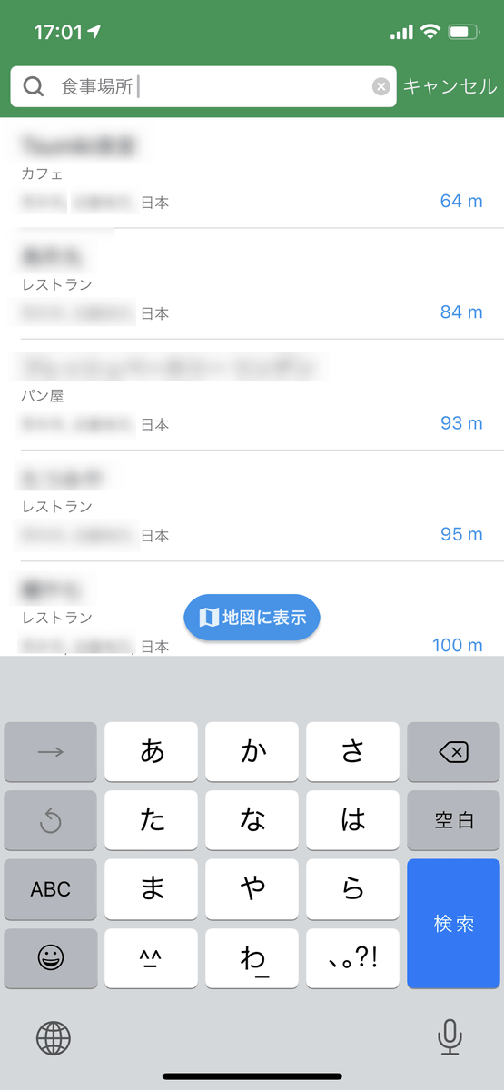
It is possible to search by category such as 'meal place', but the search results seemed to be displayed in the order of 'distance from current location'.
Related Posts: