You can check the epidemic status of the new coronavirus on Google Maps
Google has announced that it will implement a 'COVID layer' in Google Maps. This layer displays information about the new coronavirus infection (COVID-19) in each region, and will help you decide 'Is it okay to go to the destination?' When going out. is.
Navigate safely with new COVID data in Google Maps
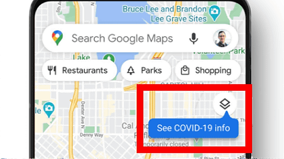
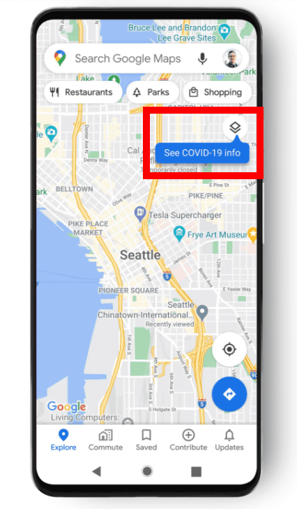
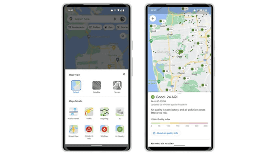
The actual COVID layer looks like the following. When you open Google Maps, you will see 'See COVID-19 info' in the upper right corner of the map.
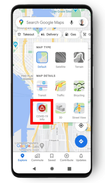
'OVID-19 info' is displayed in the layer menu, so tap it.
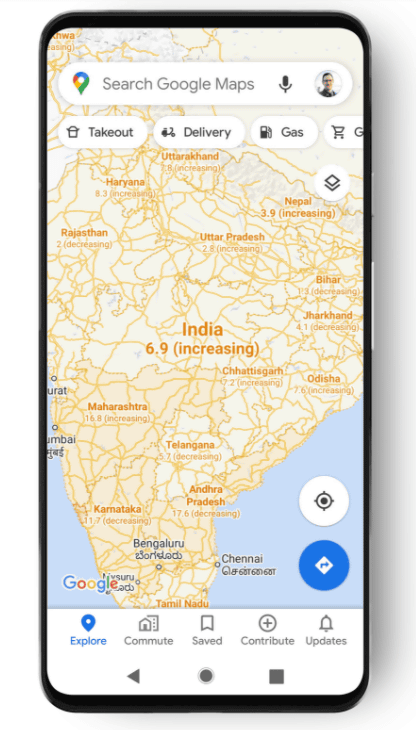
Then, as shown below, the map will be displayed in different colors according to the infection status. Map shows the new infections per 100,000 people in an average of one week, closer to the red from gray
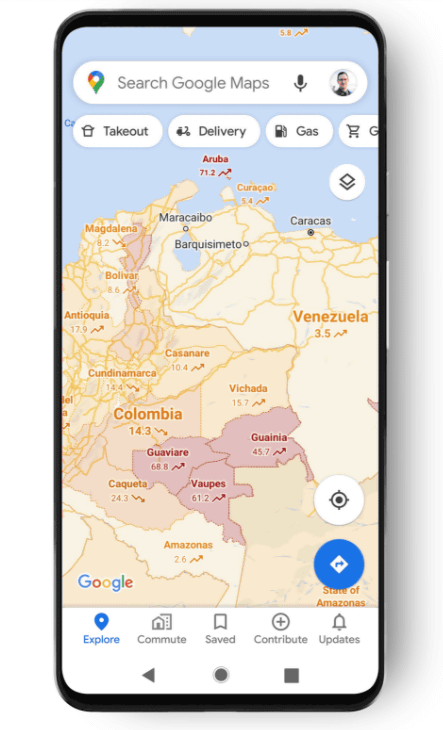
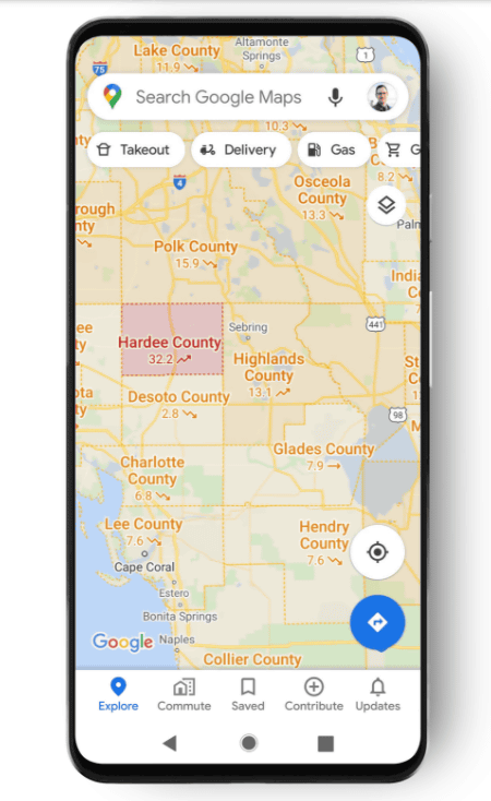
The data is shown in 220 countries around the world, and depending on the location, it will be displayed in detail at the state / county / city level. If you display the map at the national level, you can see the infection status at the national level ...
As you expand it, you can see it in more detail.
In addition, the infection data displayed on Google Maps is sourced from various institutions such as hospitals, local governments, and WHO. In addition, this function is being rolled out sequentially on Android and iOS.
Related Posts:


in Software, Posted by darkhorse_log