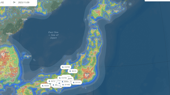
What is a surprising light source that can be seen in the 'Light pollution map' that maps 'light pollution'?
It has been pointed out that the '
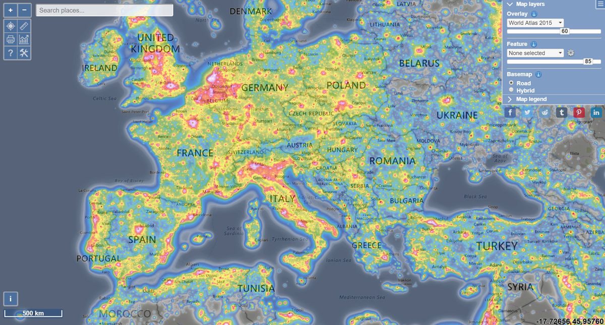
Light pollution map
https://www.lightpollutionmap.info/
This is where I accessed the above URL.
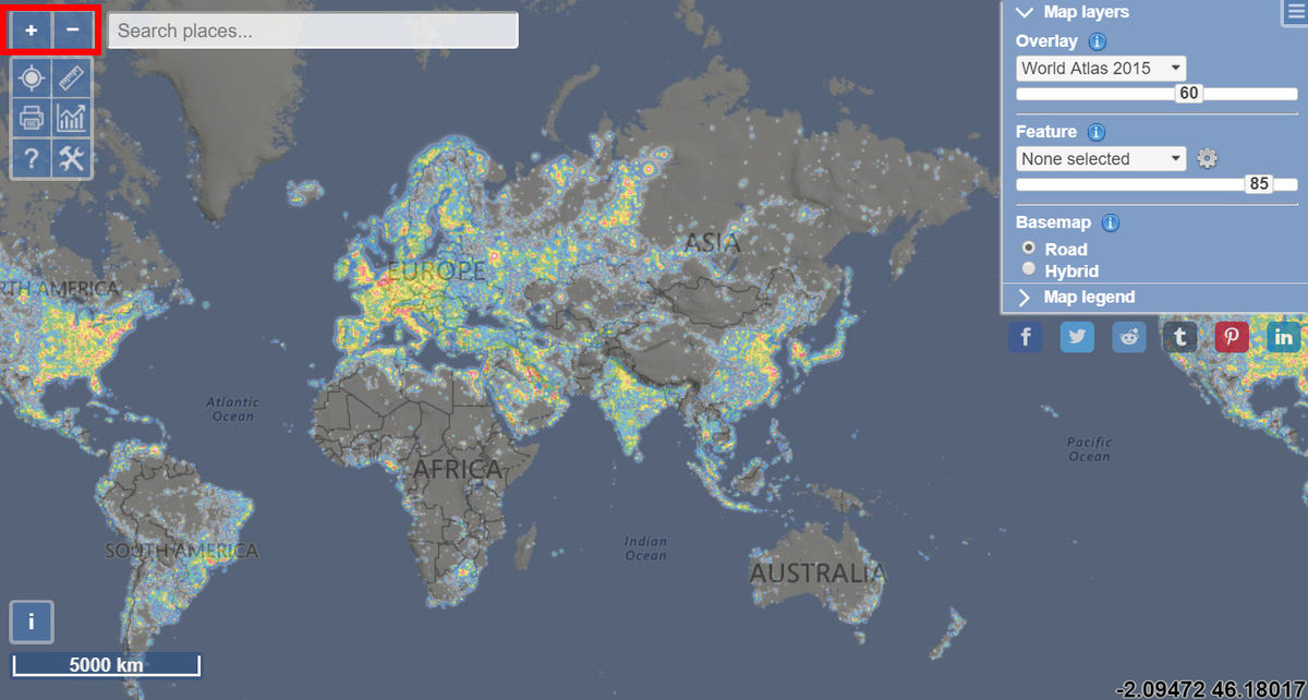
You can zoom in and out with the top left button and change the scale by scrolling the mouse wheel. If you are using a smartphone, you can also change the scale by pinching in and out.
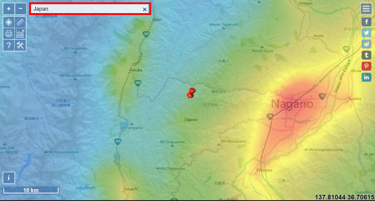
Enter a place name in the search field to quickly find the place you want. When I entered Japan (Japan) as a test, it was displayed that Nagano was located near Nagano, probably because
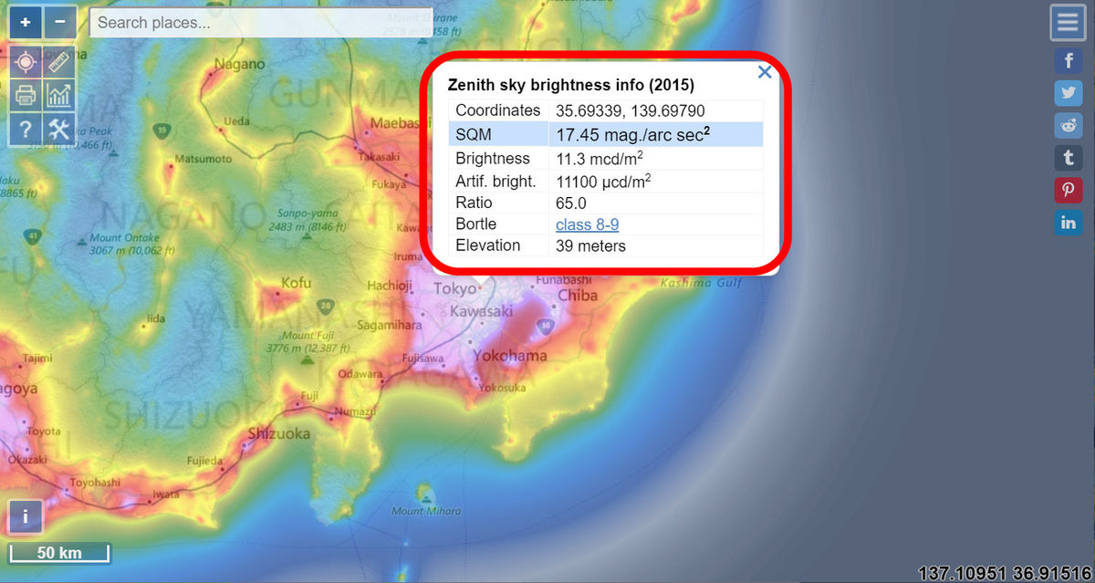
Click or tap on any point on the map to see the details of the light pollution at that point. The items are “coordinates” from the top, the measurement results of the light measuring device “
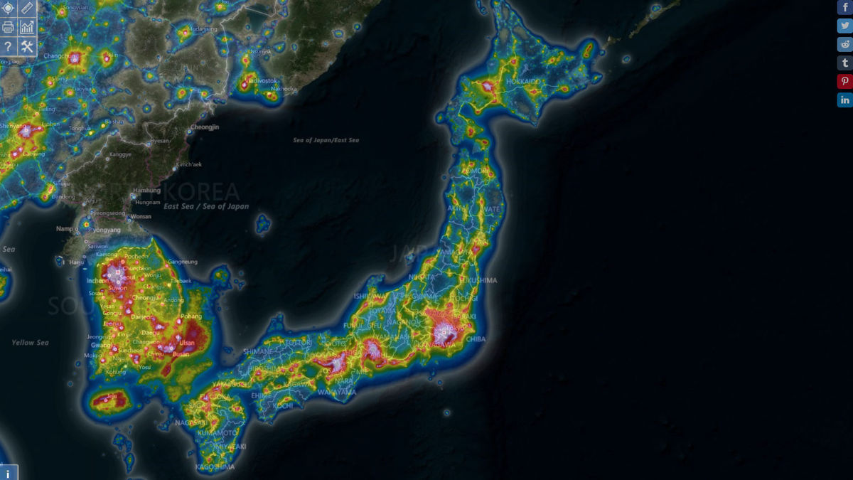
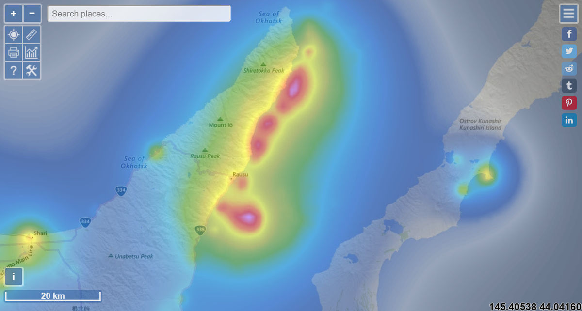
A quick look at the map shows that the closer to the city center, the brighter it is, but there are some surprising discoveries. For example, when you look at the offshore of Shiretoko Peninsula in Hokkaido, you can see that the sea, which should be empty, is particularly bright. In this area, squid fishing and fishing using the habit of squid gathering in the light are actively performed, so it can be inferred that this light is a fishing light for fishing boats.
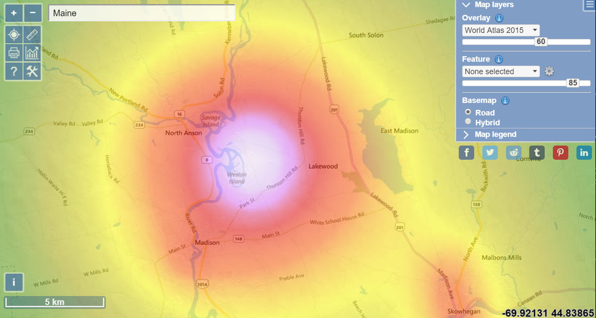
In addition, the area around the Kennebec River in Maine, USA is also bright. This is not a city or city ...
When I clicked 'Hybrid' in the upper right and switched the map to satellite photography, I saw a square facility somehow.
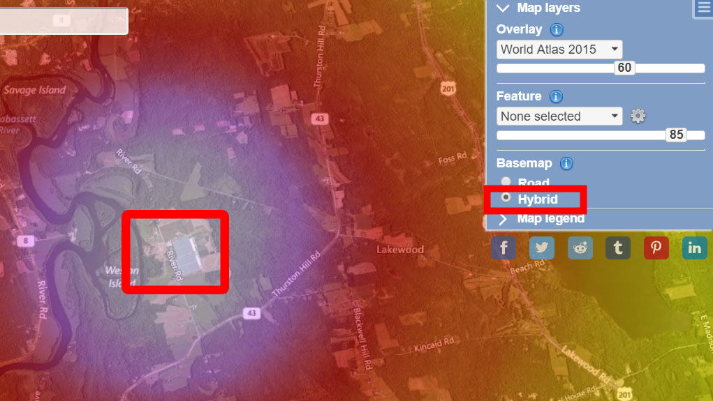
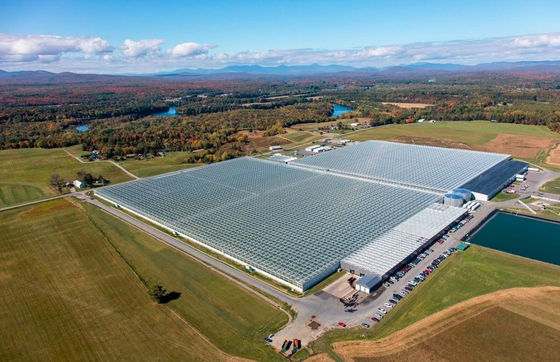
Looking at the same place on Google Maps, it turned out that there was a farm called '
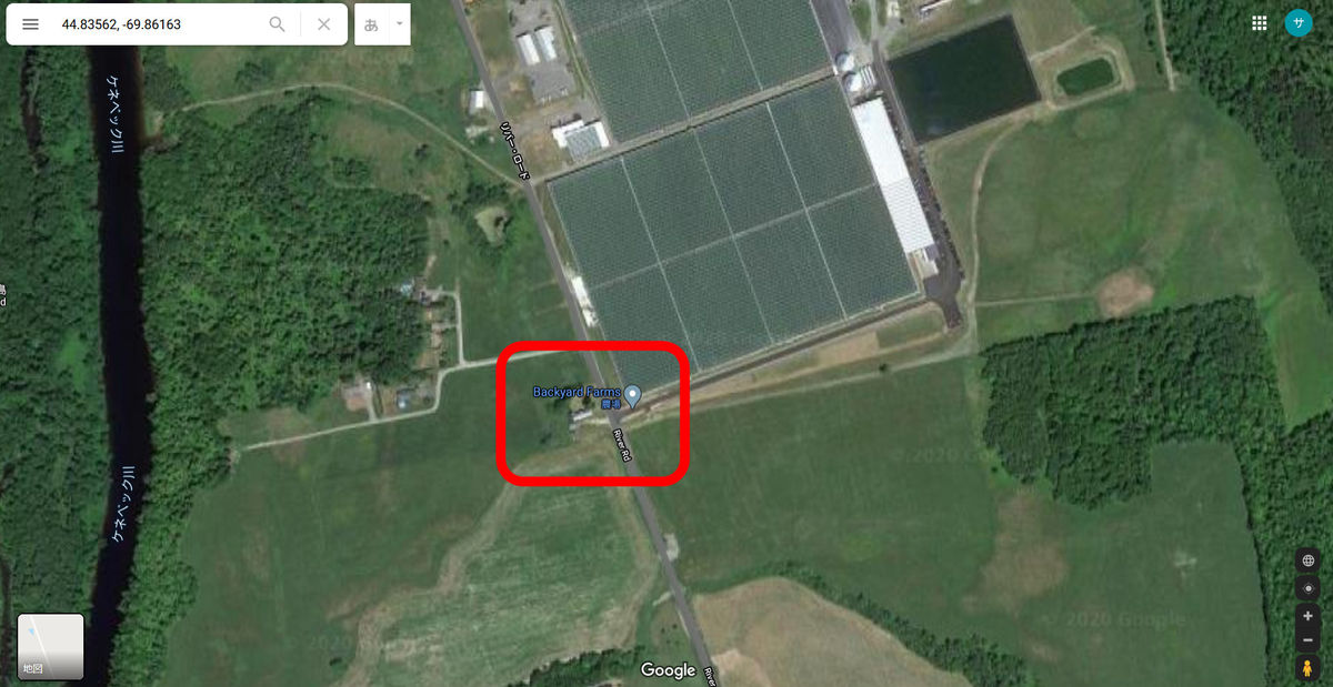
The farm seems to be shining bright because of the huge greenhouse that grows tomatoes.
Huge light sources are also found
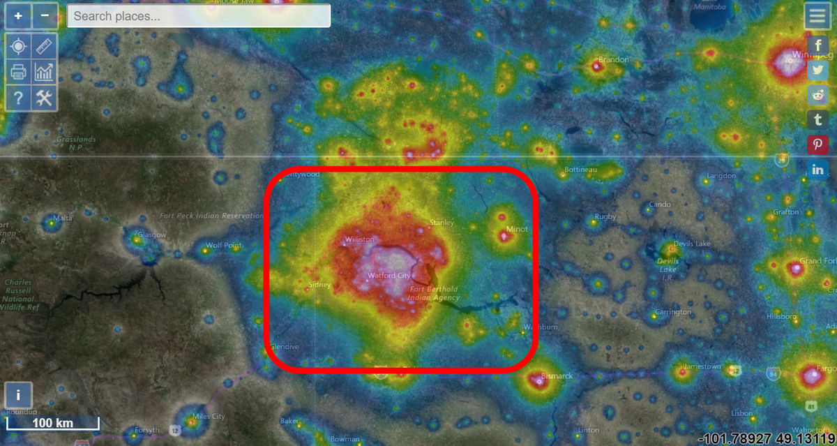
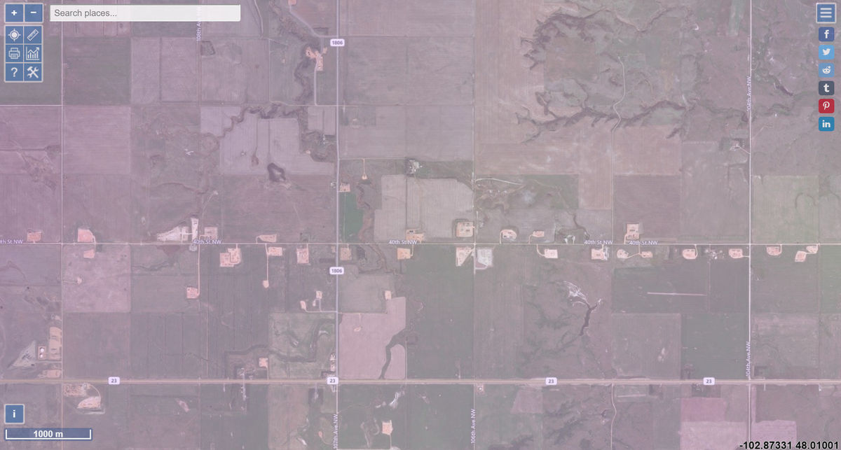
When I zoomed on the brightest part, I could see some facilities scattered along the road.
The area is home to one of America's leading
However, in recent years, profits have become unprofitable due to the slump in crude oil prices, and 30% of the mined shale gas is burned without being used. As a result, dazzling gas flares are emitted along with carbon dioxide.

by
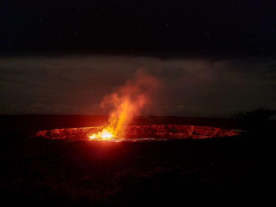
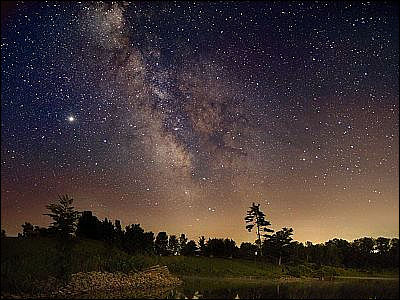
It is not only human activities that emit light. Looking at Hawaii, there is a large light source in the southeastern part of the island of Hawaii.
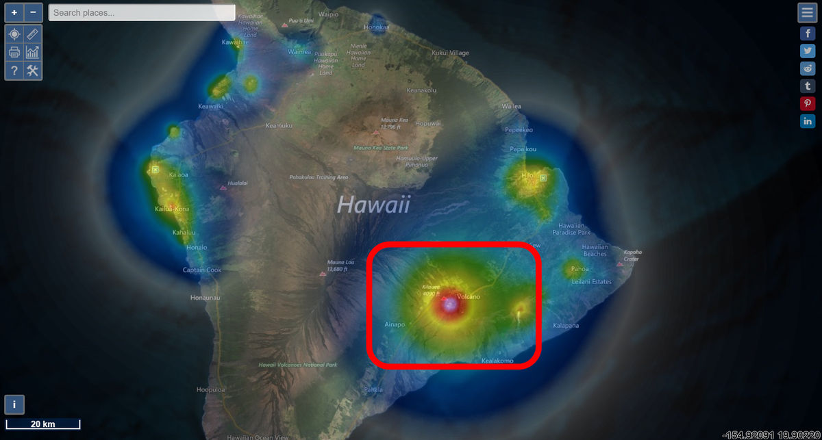
This is like the light of
by
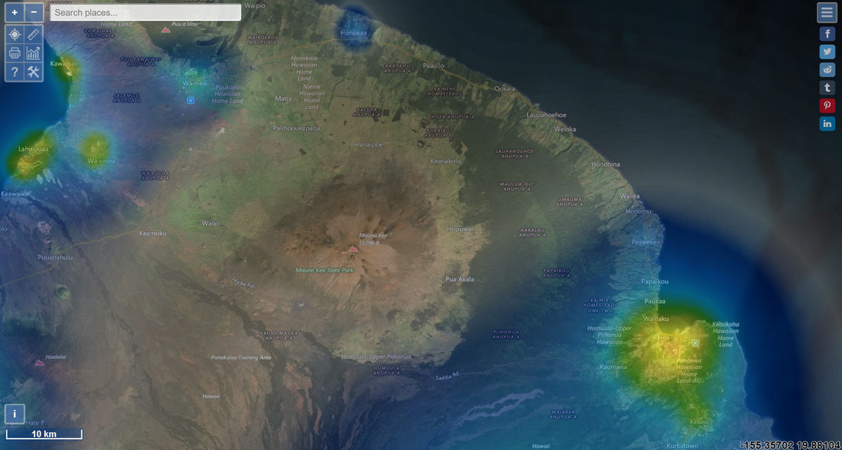
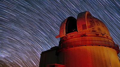
Hawaii is home to the Mauna Kea Observatory, which has many important facilities for astronomy, but fortunately the light of Kilauea volcano does not seem to reach Mount Mauna Kea.
Related Posts:
in Web Service, Review, Posted by log1l_ks