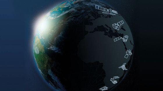
Project 'EarthDEM' to make 3D world map from satellite photos with supercomputer
The US
NCSA collaborates with NGA to create the world's most powerful geospatial system | News | National Center for Supercomputing Applications (NCSA) at the University of Illinois
http://www.ncsa.illinois.edu/news/story/ncsa_collaborates_with_nga_to_create_the_worlds_most_powerful_geospatial_sy
Supercomputers will start building a 3D map of the world
https://www.c4isrnet.com/intel-geoint/2019/08/05/supercomputers-will-start-building-a-3-d-map-of-the-world/
Announcing EarthDEM: high-resolution digital elevation models of the entire Earth – Polar Geospatial Center
https://www.pgc.umn.edu/news/announcing-earthdem/
The project name EarthDEM is a combination of 'Earth' meaning the Earth and ' Digital Elevation Models ' which is the basic data of 3D maps. Organizations participating in the project include not only the National Geospatial Information Bureau, but also research institutions such as the National Institute for Supercomputer Applications , University of Illinois, University of Minnesota, and Ohio State University.
The world map is created by Blue Waters , a supercomputer at the US Supercomputer Application Laboratory at the University of Illinois at Urbana-Champaign. Blue Waters of processing capacity is 13.3 Peta FLOPS , the Japanese supercomputer ' Kyoto boasts higher performance than' (10 Peta FLOPS).
The body of Blue Waters.

Blue Waters analyzes a myriad of satellite photographs taken by artificial satellites, calculates the height from the parallax of photographs taken at different angles, and builds 3D data to create a 3D map.
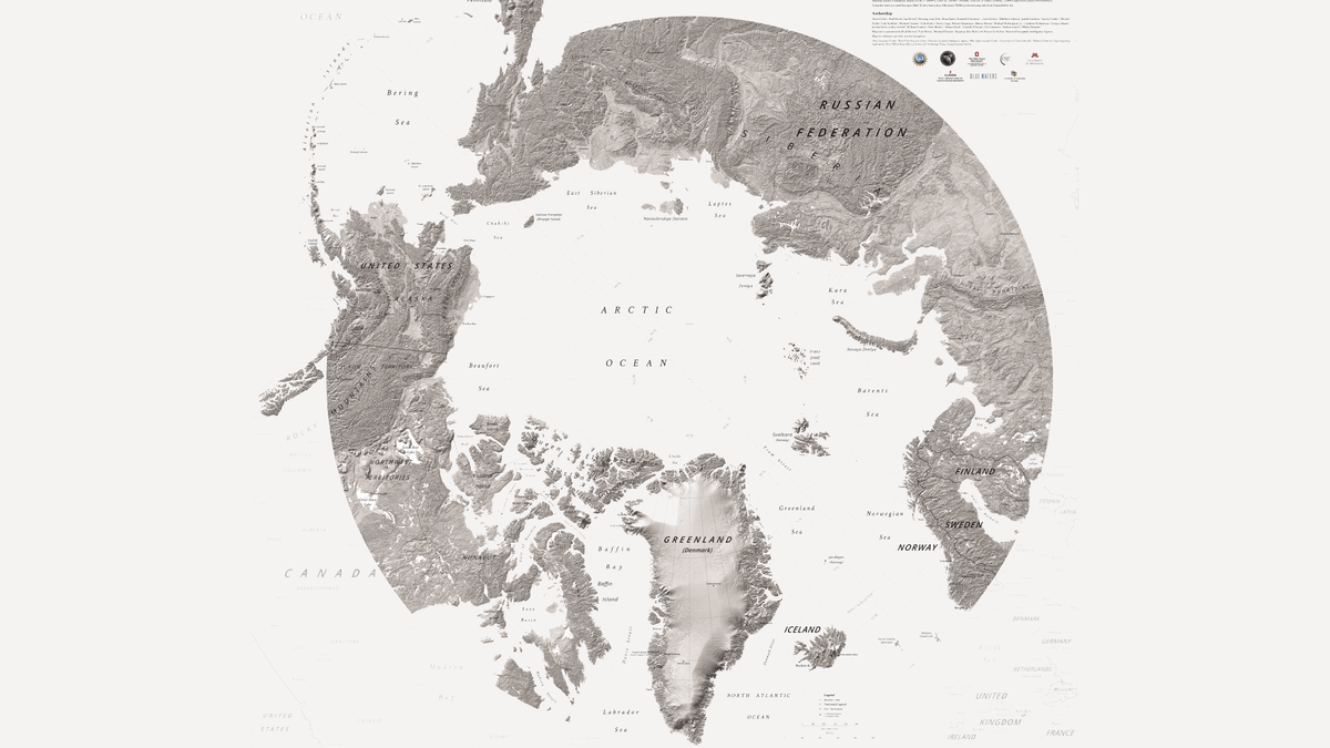
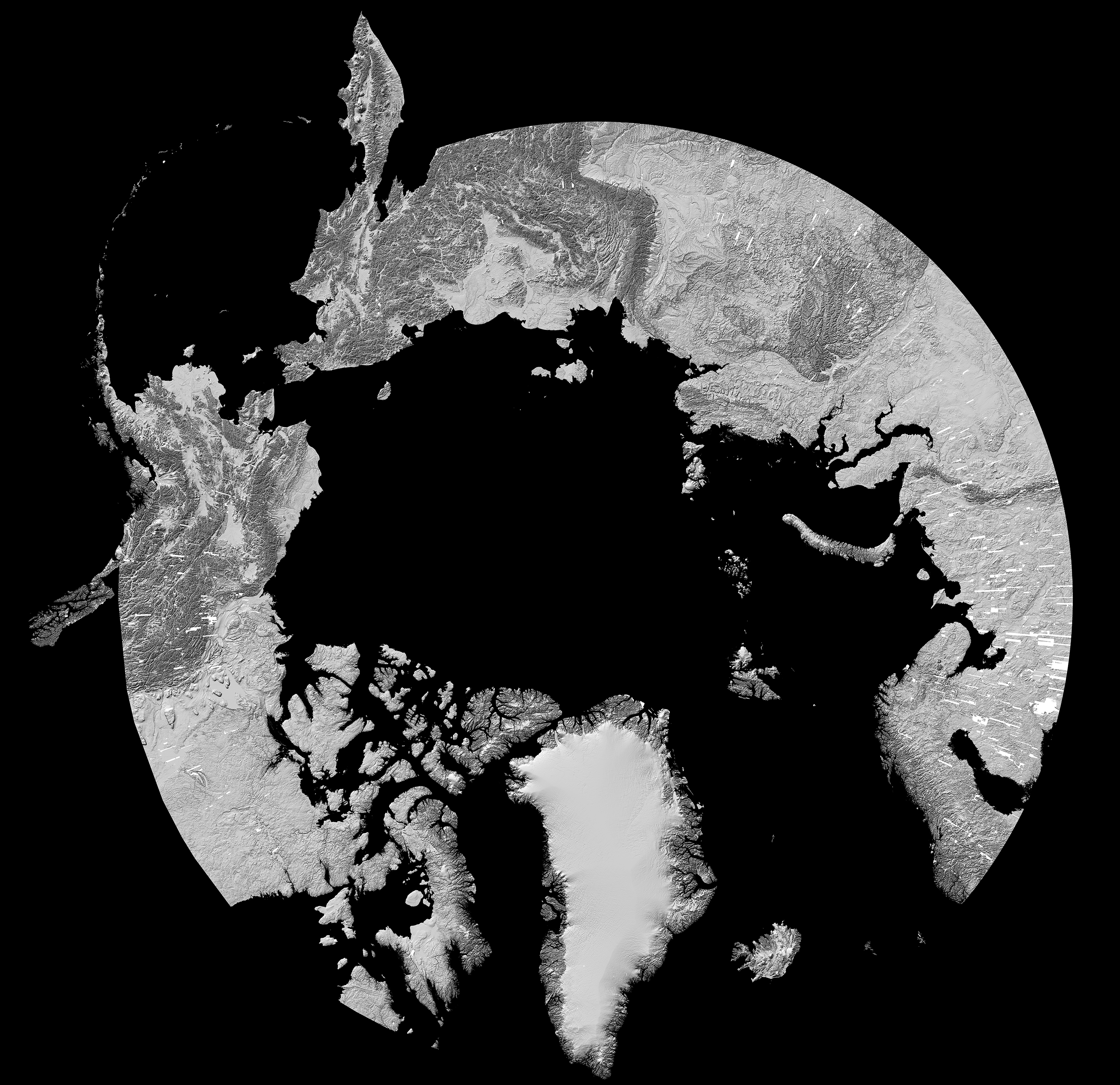
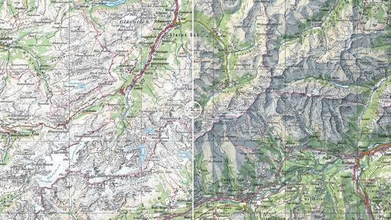
ArcticDEM, a project to create an Arctic 3D map that preceded EarthDEM, has created an Arctic 3D map by analyzing more than 187,000 images taken by satellites.
by
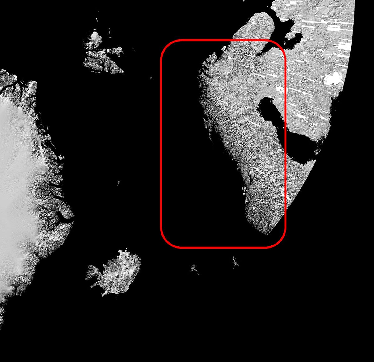
When zoomed in, the high accuracy of the fjord on the Norwegian coastline can be seen clearly.
Similarly, we are creating a map of Antarctica.

by Polar Geospatial Center
Using such a high-precision 3D map, it is possible to observe the transition of the coastline and the surface of the surface in the Arctic and Antarctica, so it is often used for research on forest and glacier reduction. The EarthDEM project will also cover the entire earth, not just the North and South Pole.
“With ArcticDEM, the most mysterious polar regions in the world have become the most detailed location in the world. EarthDEM, the successor project, By making a detailed 3D map of the cityscape and coastline of the area where we live, it will be useful for our daily lives. '
Related Posts:

in Note, Posted by darkhorse_log