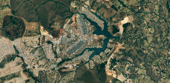
The satellite image of Google map is further refined by using "Landsat 8" data

Google Maps satellite image data from the previous Landsat 7Landsat 8 (Landsat No. 8), And it is increasingly becoming more refined.
Google Lat Long: Keeping Earth up to date and looking great
https://maps.googleblog.com/2016/06/keeping-earth-up-to-date-and-looking.html
The earth observation satellite "Landsat 8" launched in 2013 is the latest satellite of the Landsat series operated by the United States, and satellite image data is released. The satellite image of Google Maps has been using Landsat 7 data of the former satellite so far, but it was announced on 26th June 2016 that it was updated to the data of the new satellite Landsat 8.
This is a satellite image from the sky above Alaska of Google Maps made using observation data of Landsat 8.

It's like Detroit neighborhood. For data using Landsat 8, one pixel can be displayed in high resolution with a range of 15 meters by 15 meters.

Over the Swiss apple. Along with this version upgrade, the ability to display as cloud-free images by combining multiple images, which had already been introduced in Google Earth, will also be introduced in the satellite images of Google Maps.

When comparing the satellite images of New York over the old version (upper) and the new version (lower) that used Landsat 7 data, the difference in image quality is obvious at a glance.

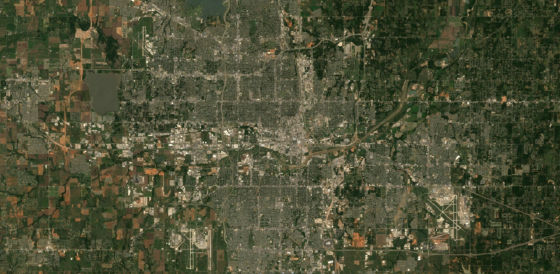
In Landsat 7, due to hardware problems, there was a lack of information in image data since 2003. For example, the image of the sky above Oklahoma City in July 2000 ... ...

In September 2003, it was insufficient data information with diagonal white lines. Of course, by updating to Landsat 8 data, all such troubles are resolved.

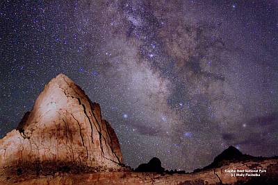
The total data of the latest version of Google map · satellite image is "700 trillion pixels". This number seems to be a tremendous amount of data that is over 7000 times the number of stars making up the Milky Way.

Related Posts:
in Web Service, Posted by darkhorse_log


