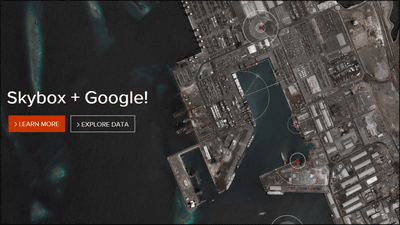
"Skybox" that makes it possible to view images from artificial satellites in real time
It is a scene that seems to appear in one of the spy movies as if seeing images from the artificial satellite floating in space in real time, but such a service was to be realized by a private company established in 2009. In the following movie, you can see a part of the video actually captured from the satellite.
Planes Landing in Beijing: Video from Space | Mapbox
https://www.mapbox.com/blog/video-of-beijing-from-space/
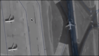
The movie includes ChineseBeijing Capital International AirportThe image capturing the runway from the sky is contained. It was recorded on December 30, 2013, and you can see how big and small airplanes land on two runways.
It is exactly like a spy movie, but this picture is based on services provided to the general public by "Skybox Imaging", a startup company established in 2009.
Skybox Imaging - Welcome
http://www.skyboximaging.com/
Skybox Imaging has launched the first satellite from Russia at the end of 2013, and this time the video that the satellite saw for the first time is released. In the future, we plan to launch 6 to 8 satellites every year, and eventually 24 plans are planning to always orbit around the surface of the earth.
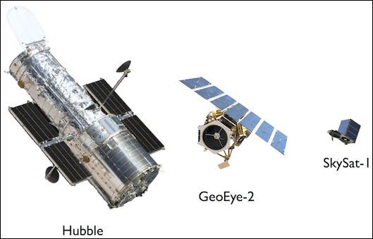
To reduce costs, the company created satellites by combining equipment that is almost the same as those on the market, and as a result succeeded in building one satellite at a cost of about one twentieth of normal. In addition, the usual satellite has been considerably reduced in weight, which reaches as much as several tons, so it has also succeeded in greatly reducing the cost required for the launch vehicle. In exchange, the life expectancy of the satellite will be shortened, but plans are being planned to make the final cost cheaper by making it cheaply and launching it cheaply.
The satellite launch scene is here. You can see the launcher being launched by a small rocket close to the missile size.
Successful Dnepr Launch on November 21, 2013 - YouTube
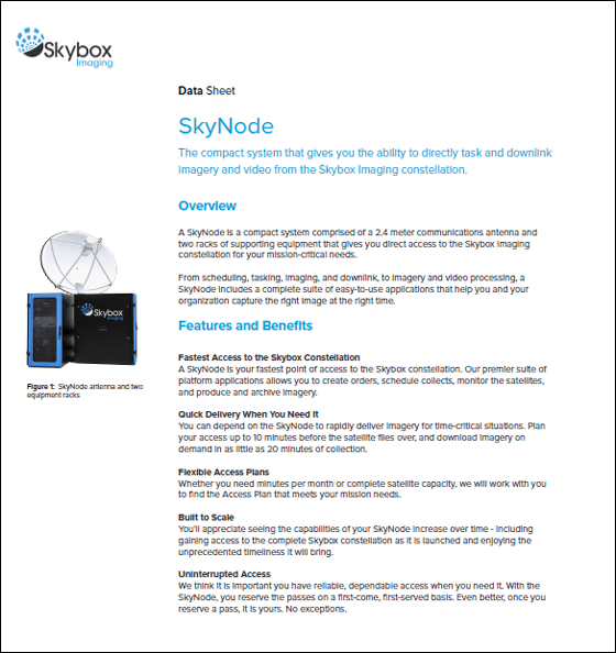
Data from the satellite,SkyNodeIt is a system to receive on a system called. SkyNode consists of two racks with 2.4 m diameter antenna and system equipment installed.
Data Sheet SkyNode(PDF file)
http://www.skybox.com/uploads/11/01/skynodedatasheet1-6-14.pdf
According to the data sheet provided by the company, the area covered by the image is 8 km square in terms of the height of the ground surface, the resolution of the image is 90 cm in the case of full color, the geo reference information is embedded in the TIFF image file in the file format IncludedGeoTIFFIt is format. The movie supports 1080p / 30fps full color HD movie, the coverage of the ground surface is 2km × 1.1km, and the resolution is 1.1 meters. The file format is MPEG-4 (H.264).
Data Sheet Imagery & Video(PDF file)
http://www.skybox.com/uploads/10/08/imageryandvideospecsheet.pdf

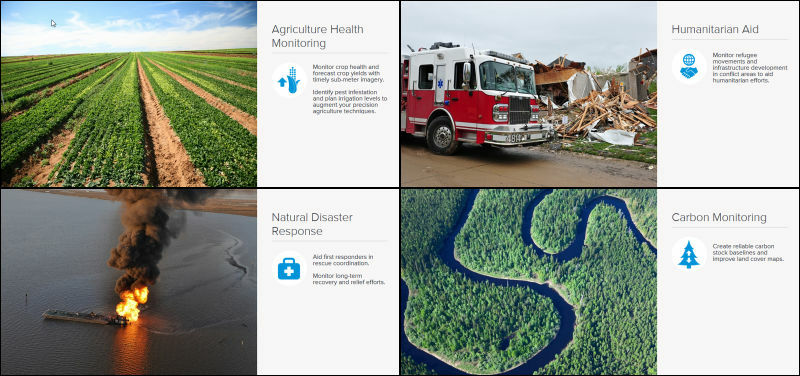
The company lists crop monitoring, catastrophe grasping, natural environment conservation, etc. as an example of utilization of Skybox, but because it is a system that can obtain a detailed image, too much use of spy activity is not mentioned It is enough to feel unnatural.
Although the price of the system and service usage fee etc are not announced, even if it is used for any purpose, it is a service that makes a strong impression on the advancement of technology.
Related Posts: