Trekker of Google Street View reaches the top of Mount Fuji
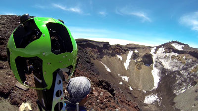
Mt. Fuji registered as a World Heritage site on June 22nd is now available on Google Street View. People carrying backpack type photography equipment / trekker in the beginning of July had been witnessed at Mt. Fuji, but this Trekker walks from the 1st tier to the summit in a total of 3 days and shoots 14,000 panoramic pictures He said that he did.
Google Japan Blog: Japan's highest street view will be released
http://googlejapan.blogspot.jp/2013/07/blog-post_23.html
Fuji - Street View - Google Maps
http://maps.google.com/intl/ja/help/maps/streetview/gallery/mtfuji/fujiyoshida-climbrout.html
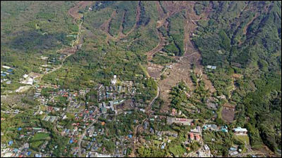
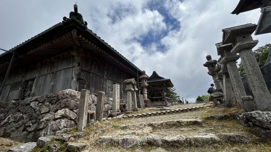
Northern part of Mt. Fuji, Yamanashi Prefecture Located in Fujiyoshida City is Kitaguchi Fuji Asama Shrine
View Larger Map
From the shrine, the mountain path of Yoshidaguchi goes to the summit.
View Larger Map
This is Fifth Yoshida mouth fifth consecutive eyes.
View Larger Map
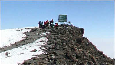
And Mt. Fuji top.
View Larger Map
This is Mt. Fuji Kengenaga
View Larger Map
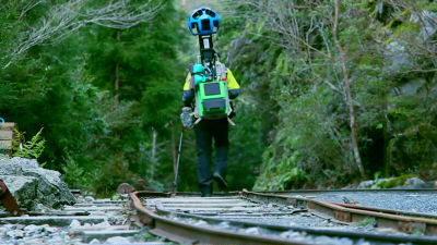
How you shoot has been summarized in this movie.
Fuji street view - YouTube
Related Posts:


in Video, Web Service, Posted by logc_nt