Jakoba cedar of Yakushima up to be seen on Google Street View
Explore the AmazonYaEverest climbThe google street view team who goes anywhere, took a picture of the trekking course of Yakushima and released the picture.
Google Japan Blog: Let's travel on Yakushima in street view
http://googlejapan.blogspot.jp/2013/04/blog-post_23.html
The surroundings of Yakushima's orbit road and harbor already already corresponded to street view.
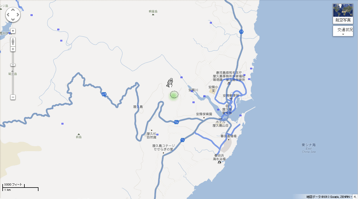
It is the trekking route away from there that corresponded this time

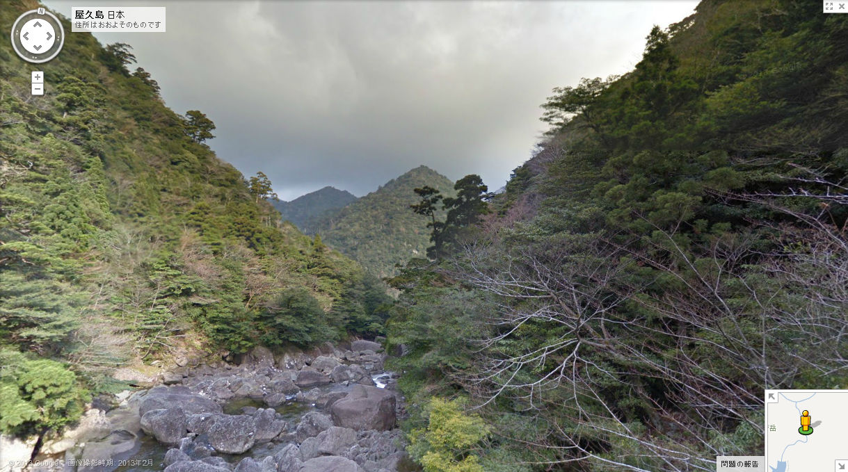
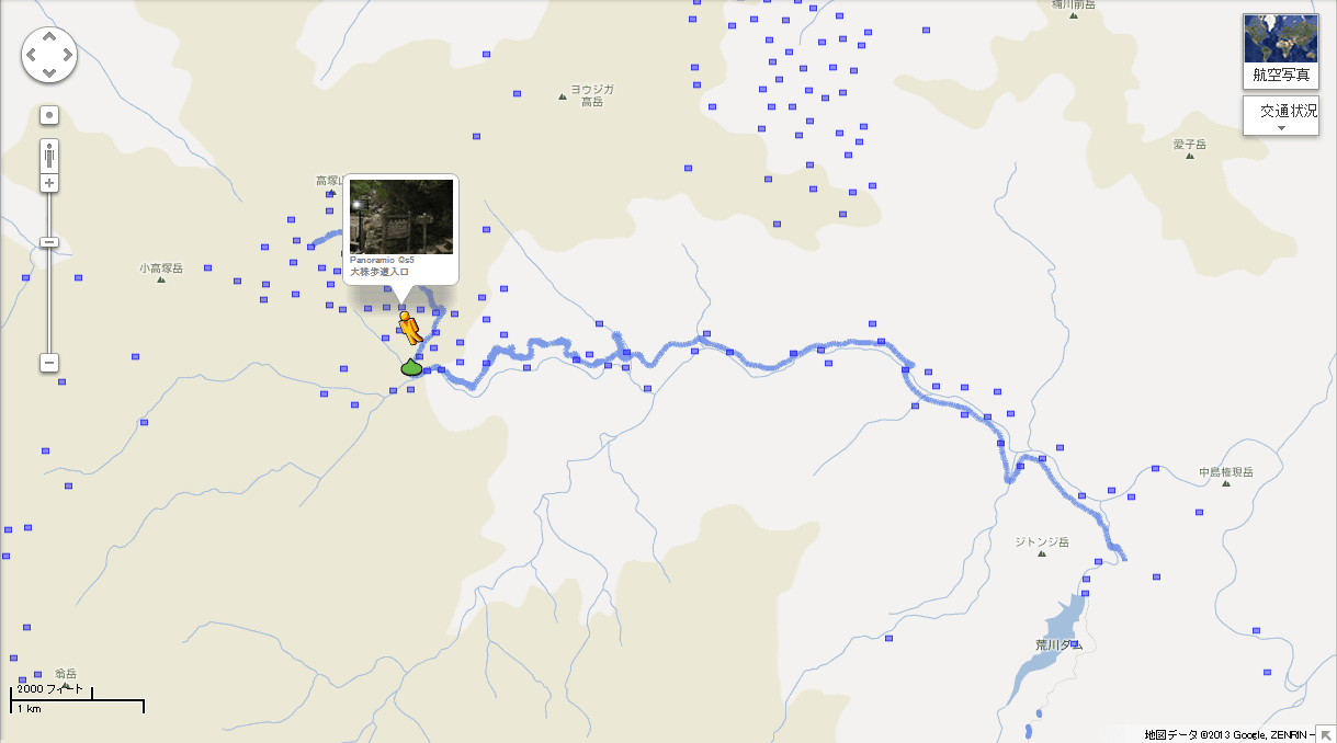
Starting point is Arakawa climbing mouth
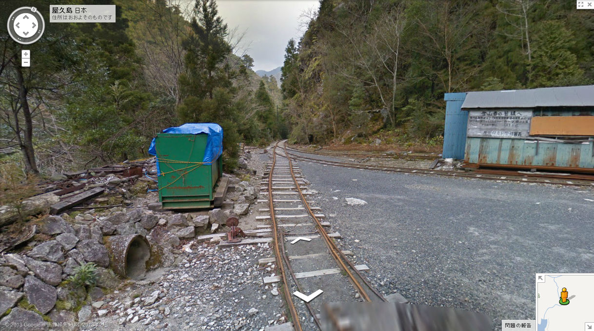
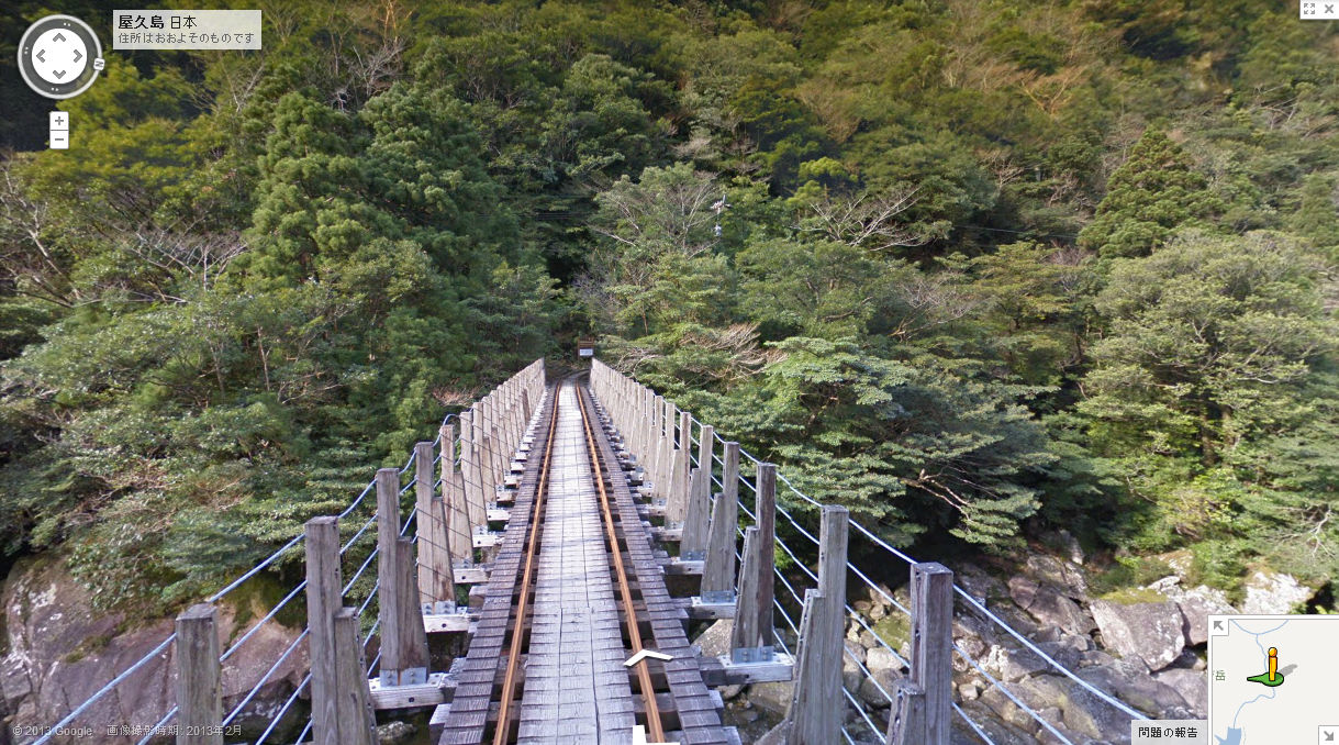
Awa Forest OrbitIt is a trekking route on the railway track, basically it is OK along the track. Because it is not prohibited here, turn left.
Then the route is to cross the river.
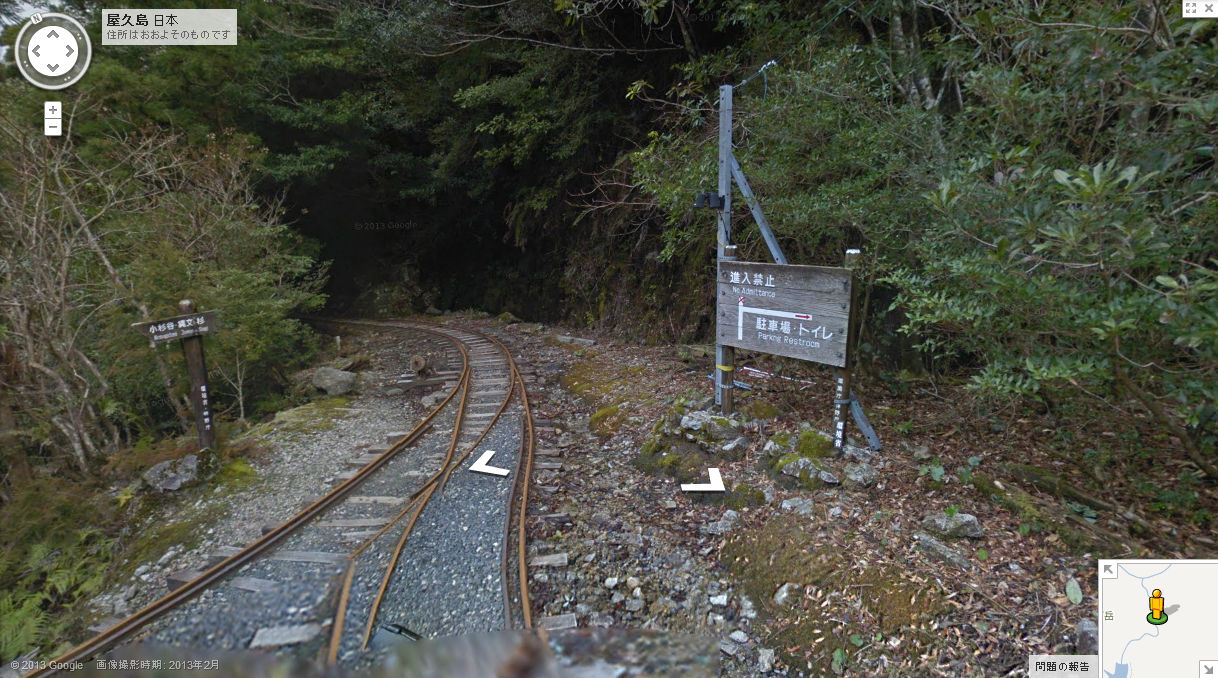
Further tunnels are also available

As you move forward, there are stairs going up aside. This is the entrance to Wilson shares.
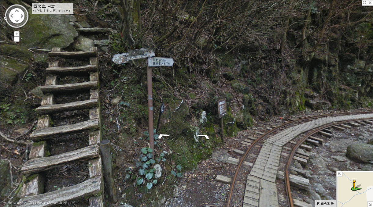
It is around here, because the lower right is the starting point, it is quite a walk.
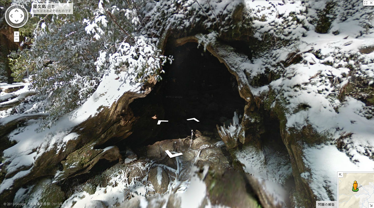
It is on thisWilson stock
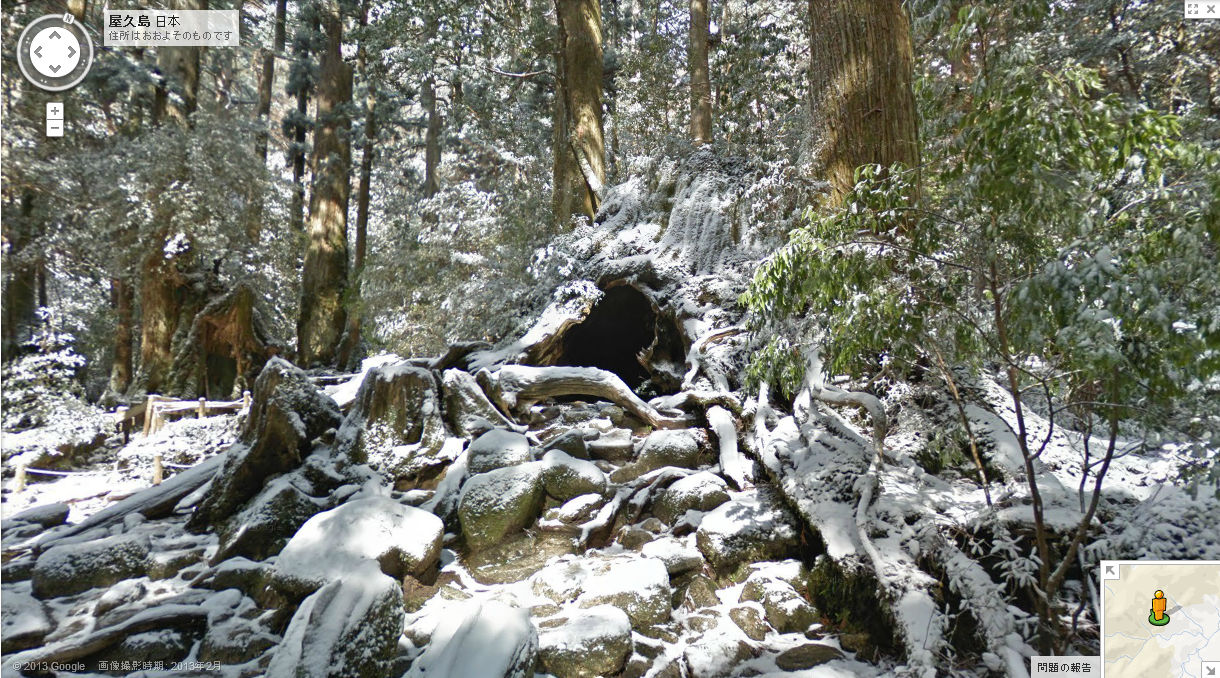
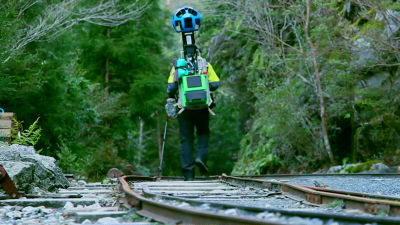
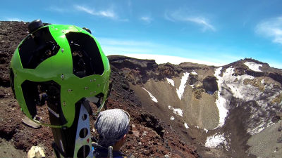
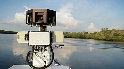
The Street View team is filming inside
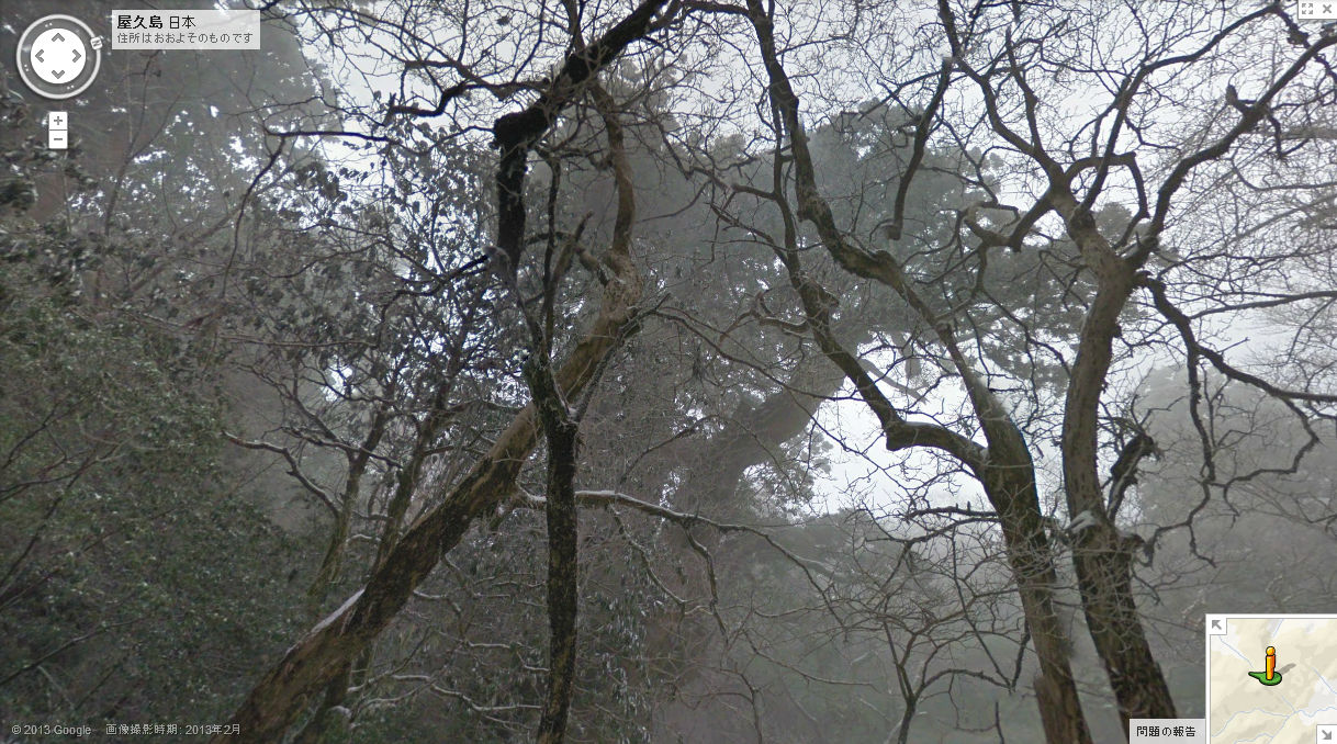
Wilson shares will go up furtherJomon cedar. It takes about 8 to 10 hours to reach this point, and now it is prohibited to enter the surroundings of cedar for protection.
The shooting scene is like this.
Street view of Yakushima - YouTube
Related Posts:


in Video, Web Service, Posted by logc_nt