Google shoots the Arabian desert with cameras on camel's back, making it viewable in street view
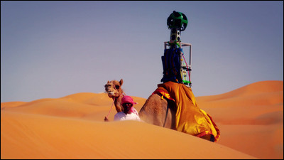
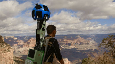
Battleship IslandForbidden areas andEverestGoogle Street View to explore and shoot the surroundings. This time I stepped into the Liwa desert in the United Arab Emirates,Automobiles · Bicycles · WheelbagsUnlike usual shooting with camels, we took a picture using a camel.
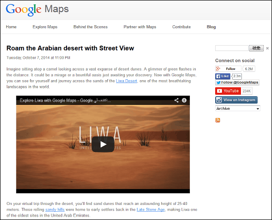
Google Lat Long: Roam the Arabian desert with Street View
http://google-latlong.blogspot.jp/2014/10/roam-arabian-desert-with-street-view.html
The way to shoot a camel on the back of a camel is from the following movie.
Explore Liwa with Google Maps - Google اكتشف ليوا مع خرائط - YouTube
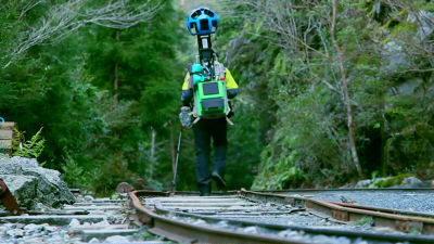
Google Street View camel, with a camera on the back. The cameraBattleship IslandIt looks the same as what people carried on shooting.
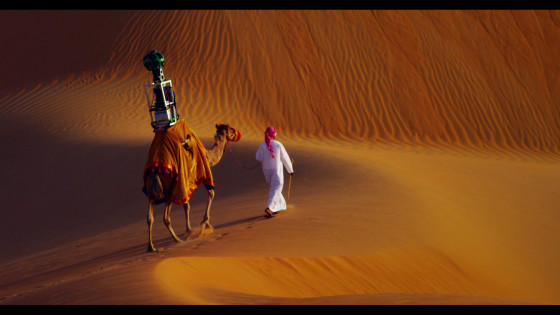
Looking from the side like this.
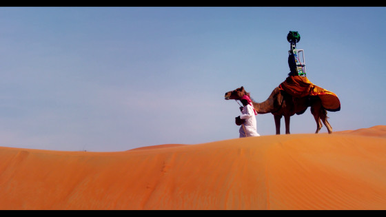
I will go on a road without a canal. It seems that sand dunes are 25 to 40 m tall.
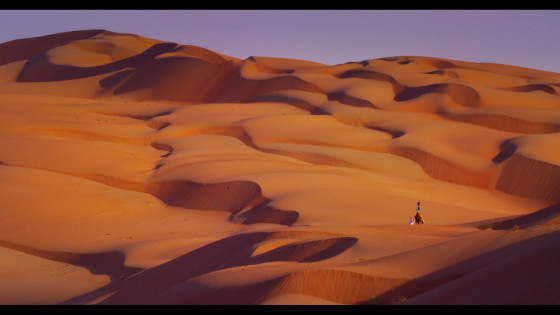
Anyway it is vast.
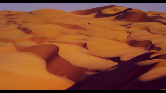
The picture taken by this camera & camel is ......
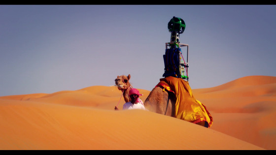
Like this. The shadow was reflected.
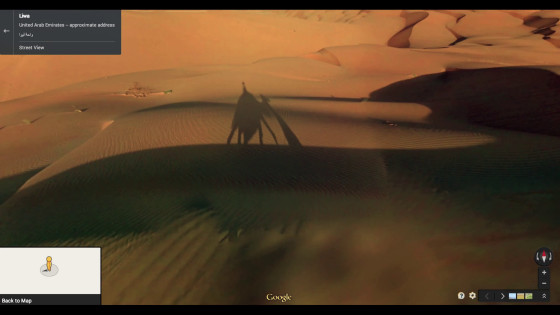
There is no road way, but it may be that I can make a way behind me.
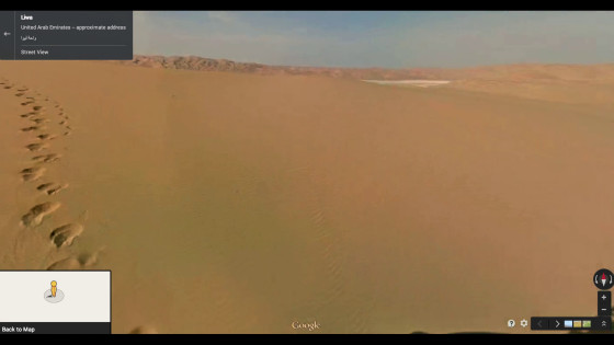
Places with a little green as well.
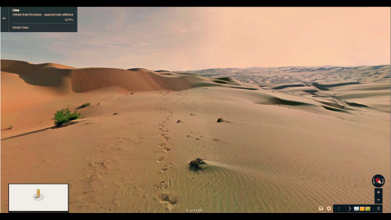
It seems to be very noticeable if people like staff are reflected.
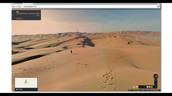
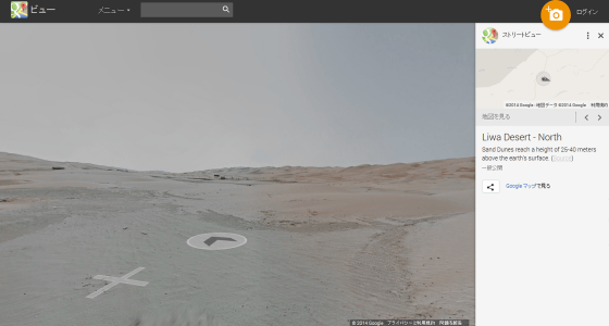
Actual street view is like this.
In addition, you can see the sight taken at once from the Street View gallery.
Liwa Desert - Street View - Google Maps
https://www.google.com/maps/views/streetview/liwa-desert
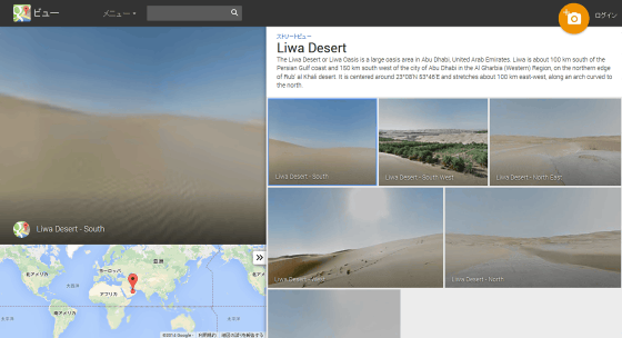
Sand, sand, sand as far as you can see the page "Liva Desert South".
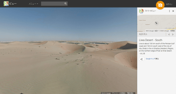
When I shift the camera to the right, I found green growing.
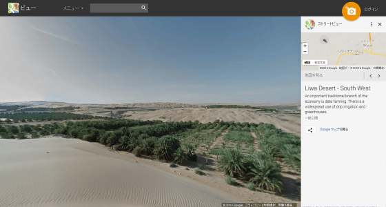
It opens another page called "Liwa desert West", and here it is full of sand.
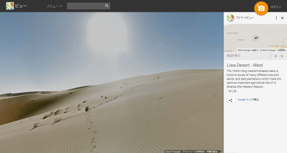
The page of "Riwa Desert North" is here. Of course, you can explore more and more with clicks as well as usual Street View.
Related Posts:
in Note, Posted by darkhorse_log
