Mt. Omine, which has attributes such as women not allowed, world heritage, Japan 100 famous mountains, etc.
Mt. Omine, which is part of the World Heritage Site '
Sanjogatake | Tenkawa Village Official Site (Nara Prefecture) Tourism Page
https://www.vill.tenkawa.nara.jp/tourism/spot/5187/
Mt. Omine is a mountain range with multiple mountains. This time, I climbed Mt. Sanjogatake, which is in the area where women are not allowed, and Mt. Dainichi, which is open to women.
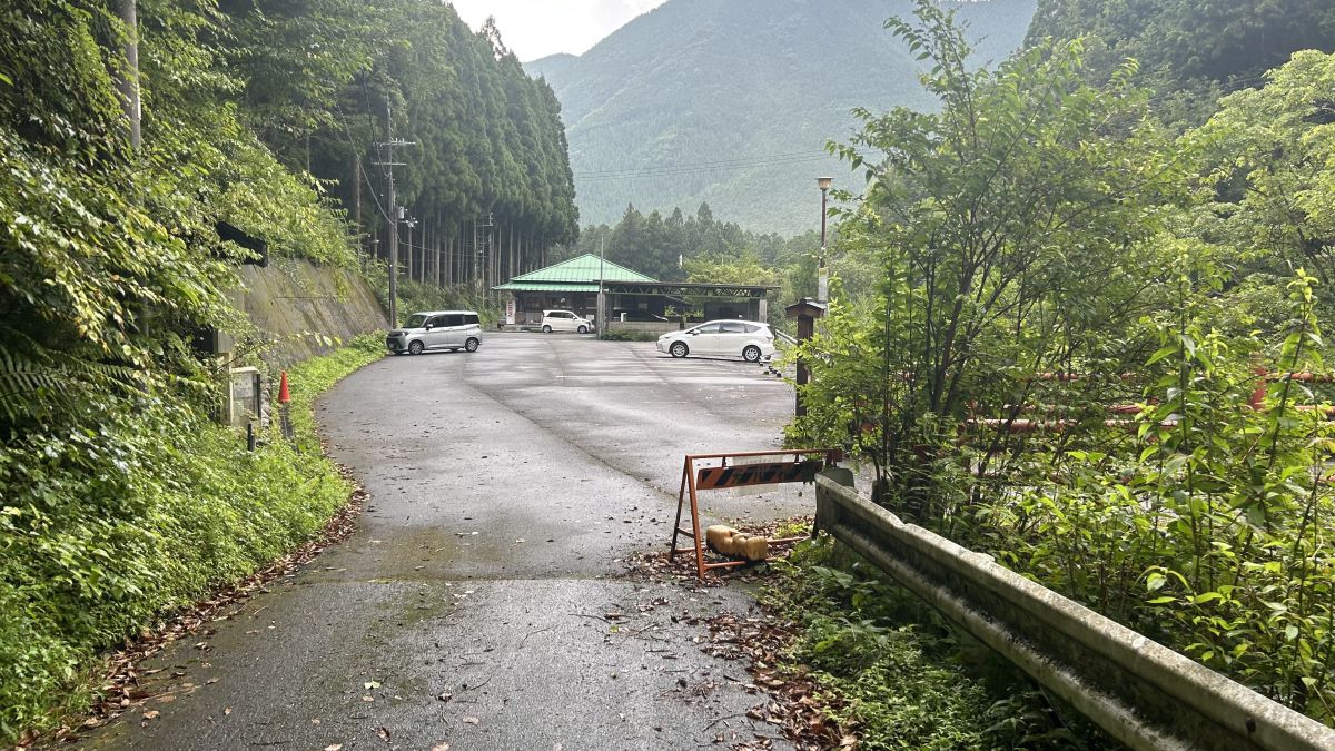
I drove to the Ohashi Chaya parking lot near the trailhead.
The parking fee for regular cars is 1,000 yen per day.
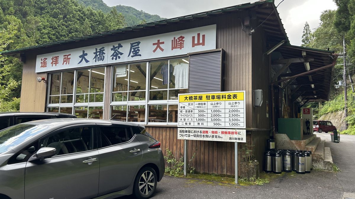
If you go to the back of the parking lot, the trailhead will appear immediately.
To the summit of Mt. Sanjogatake
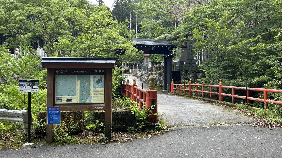
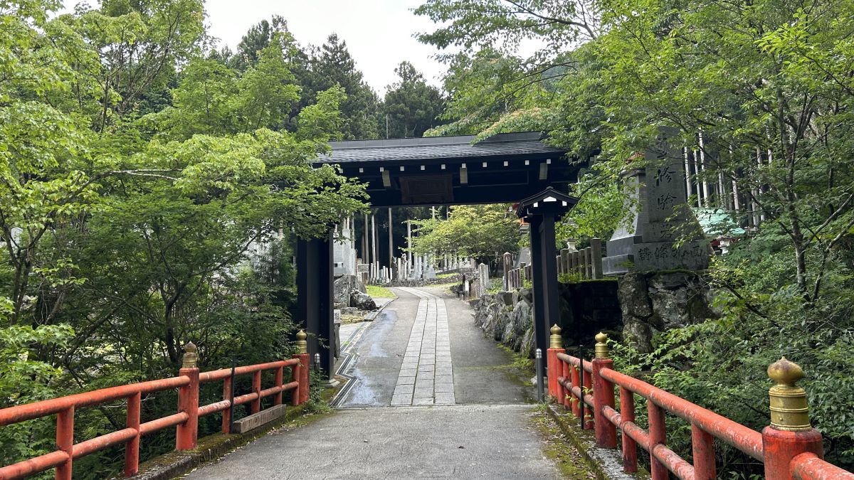
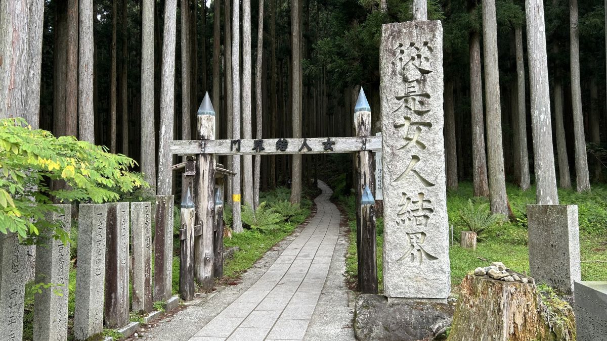
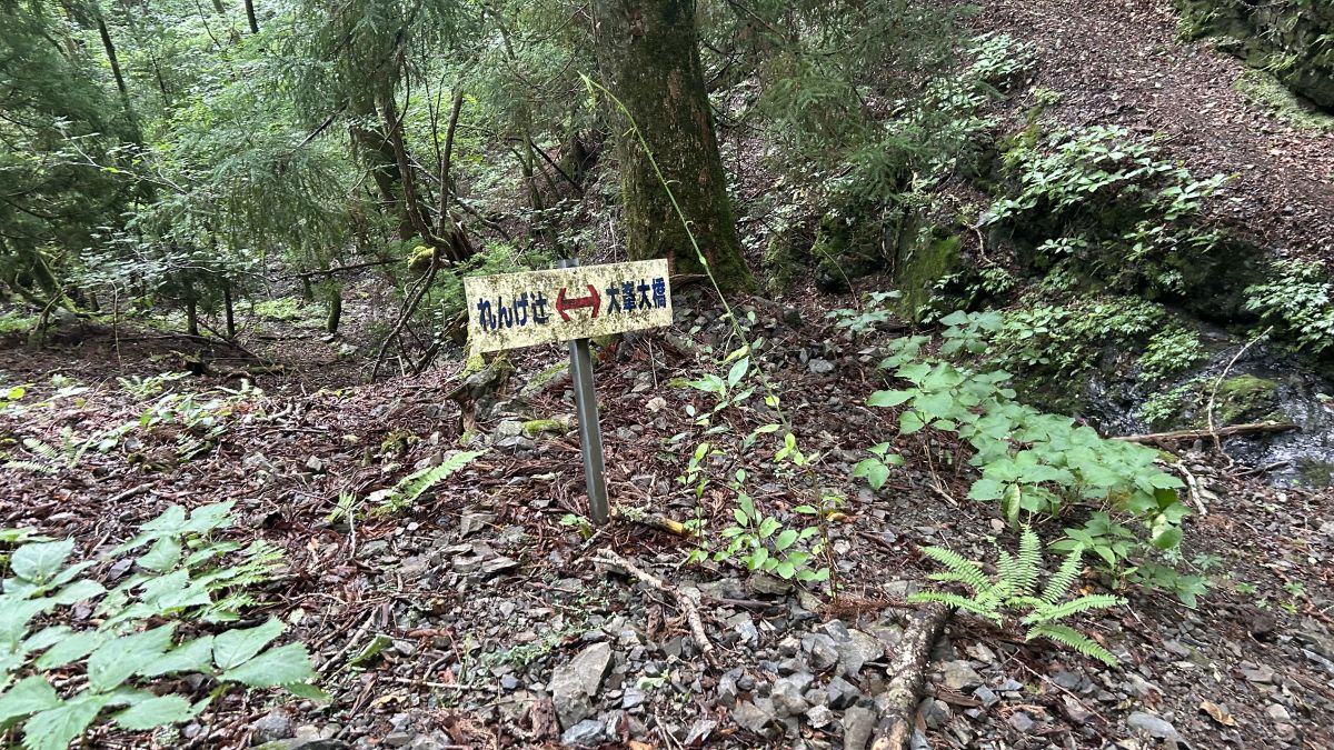
The trailhead is divided into two areas: one for Mt. Sanjogatake, where women are prohibited, and the other for Renge Tsuji, where women are allowed to enter. This time, we will aim for Mt. Sanjogatake.
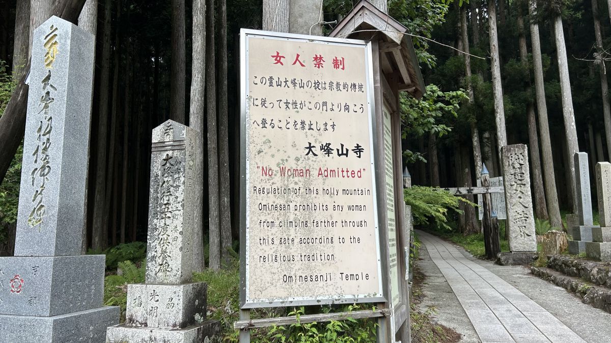
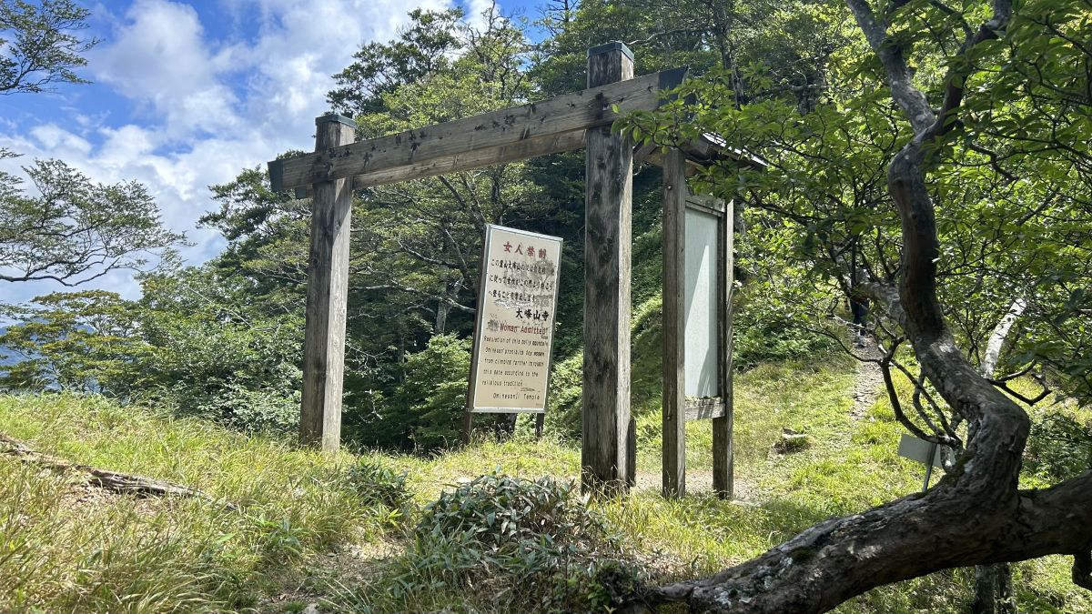
A little further on, there was a signboard that said 'Women are prohibited'. Mt. Sanjogatake has been an object of worship since ancient times, and even today women are prohibited from entering the mountain for religious reasons.
Go through the gate marked 'Women's barrier gate'. Mt. Sanjogatake has several similar gates.
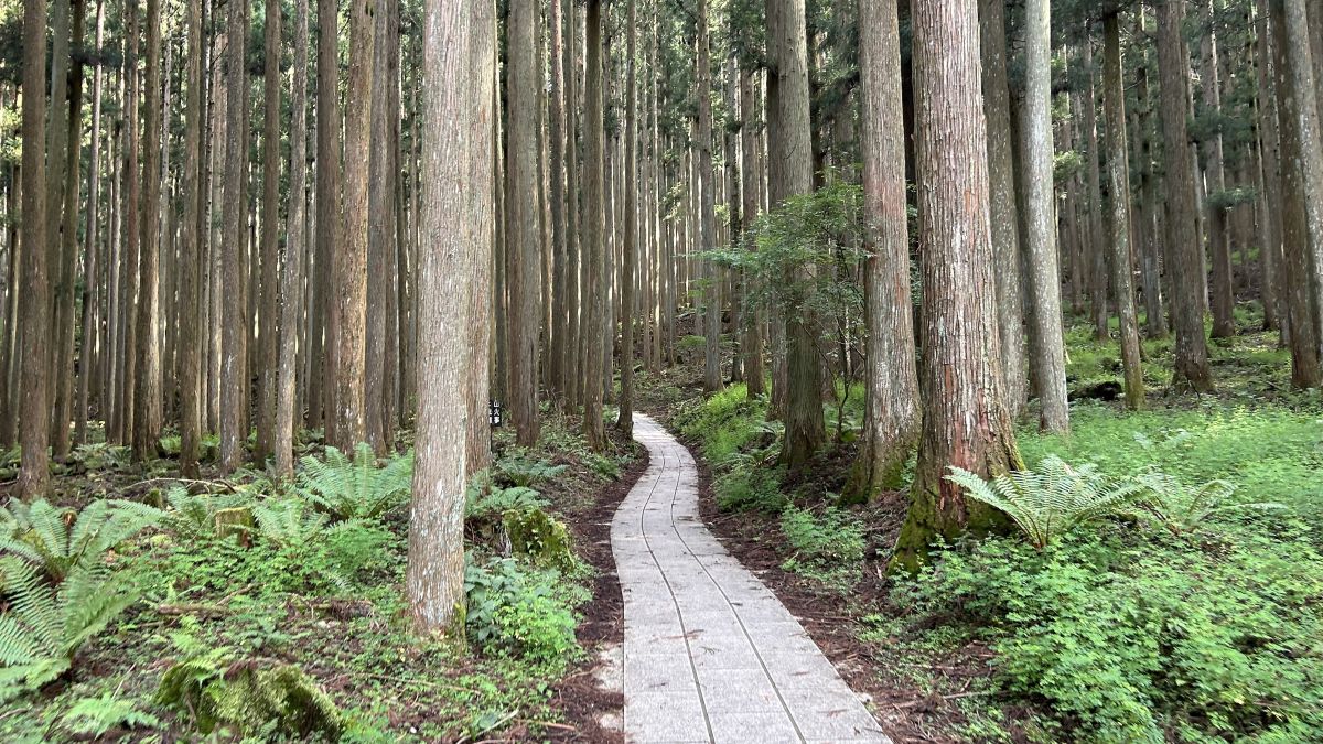
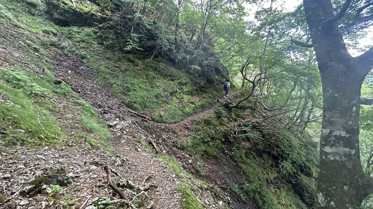
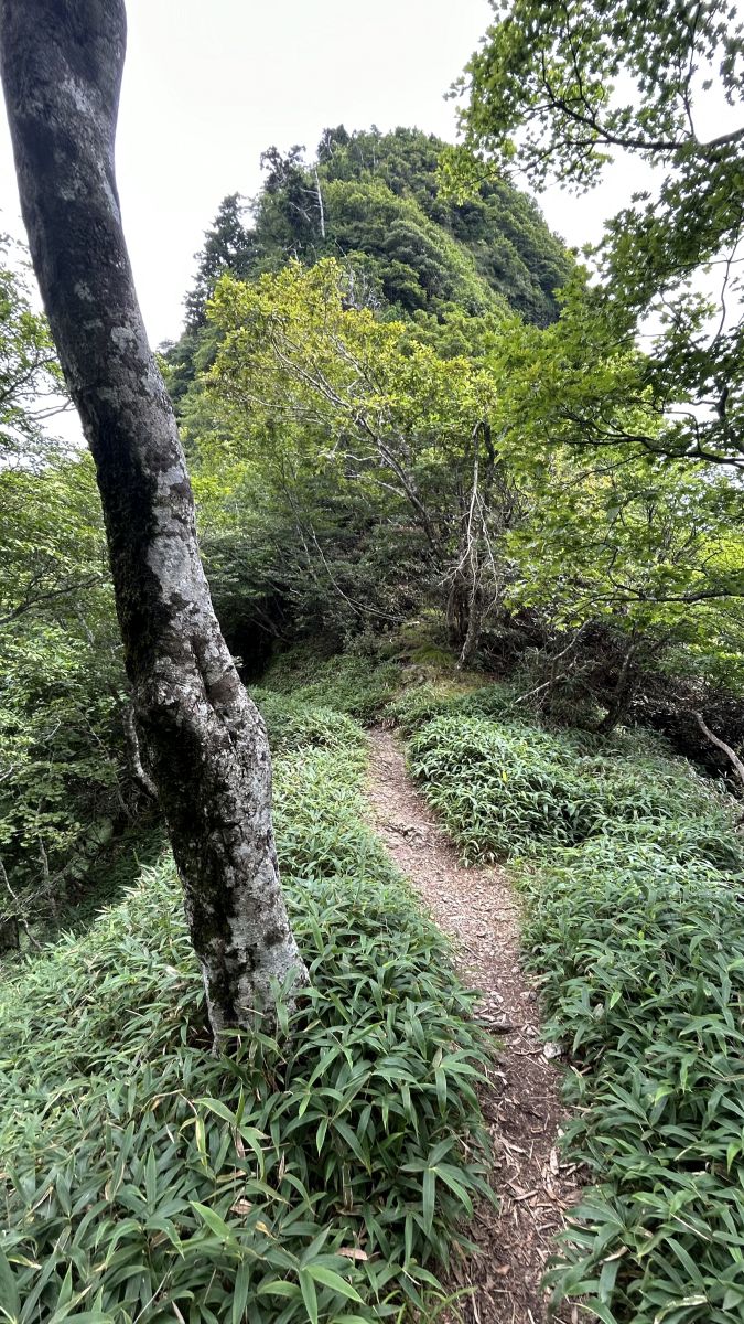
Mt. Sanjogatake is famous as a training ground for Shugendo, so I expected the road to be steep, but the road was well maintained and quite easy to walk.
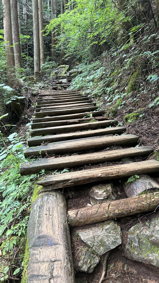
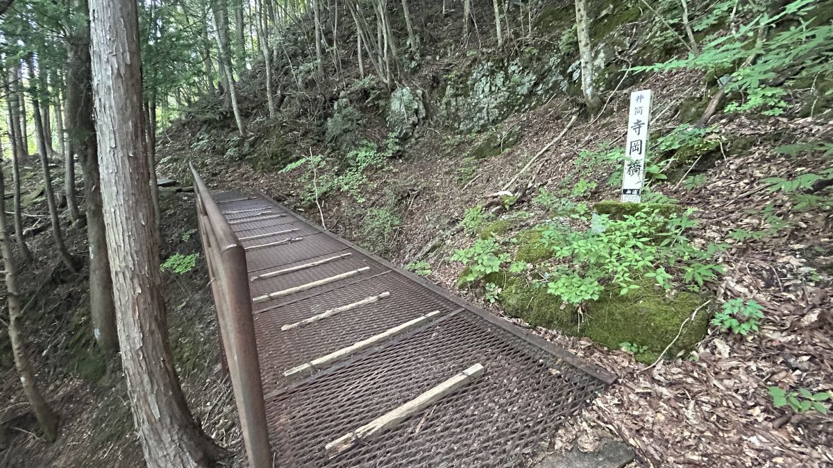
Wooden paths were maintained in dangerous places.
There is also a metal bridge.
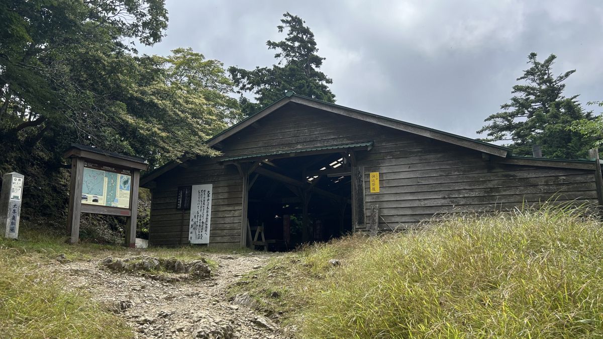
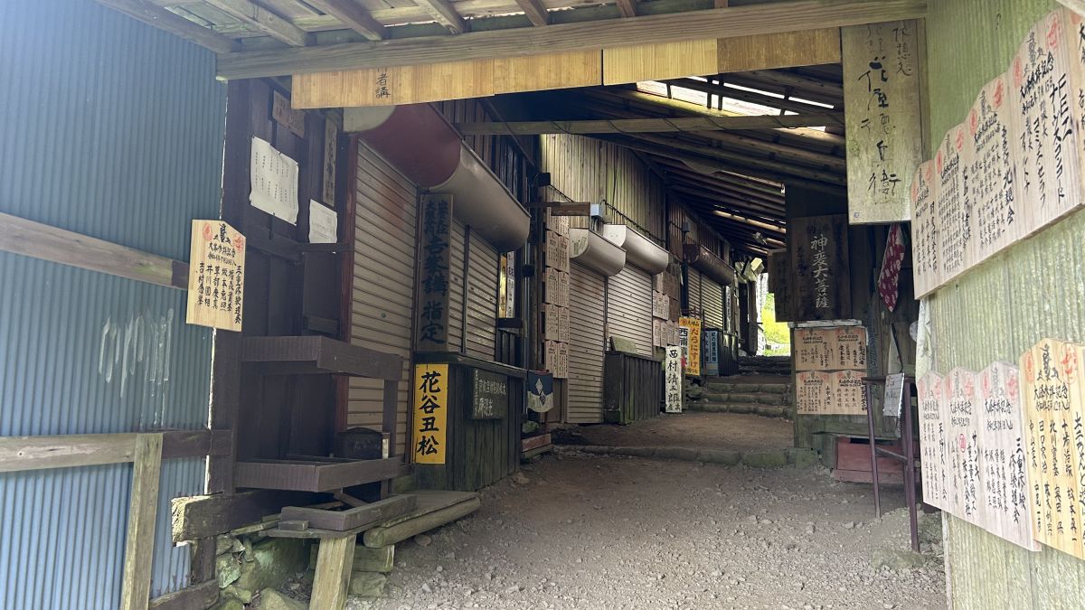
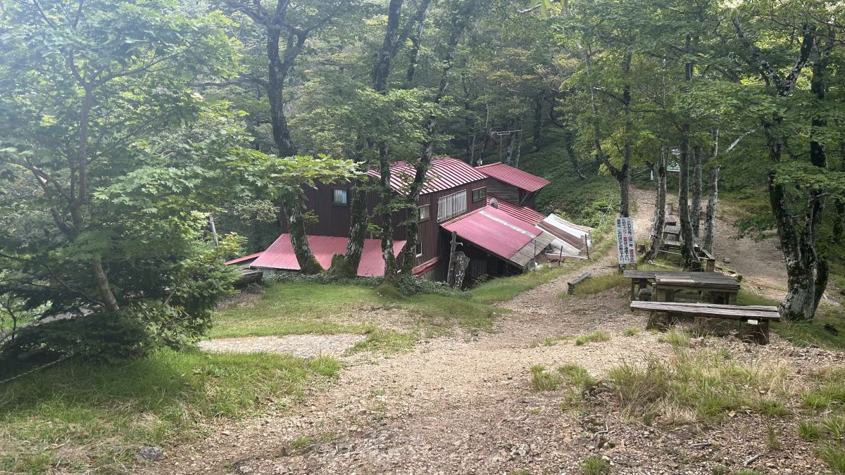
After walking for about 30 minutes from the trailhead, you will see a hut at the end of the trail.
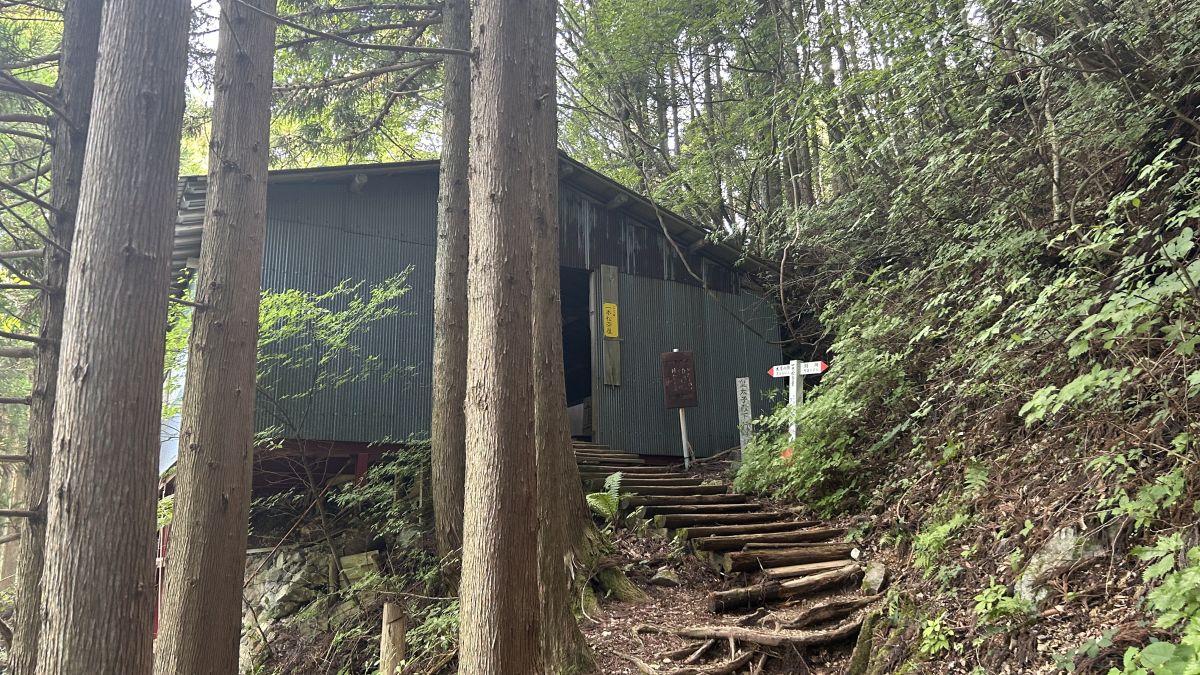
This hut seems to be called 'Ipponmatsu Chaya'.
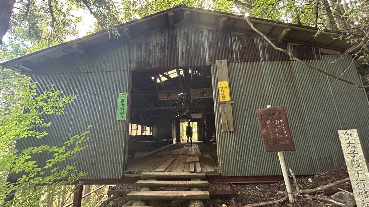
The inside was unmanned and there were multiple desks lined up.

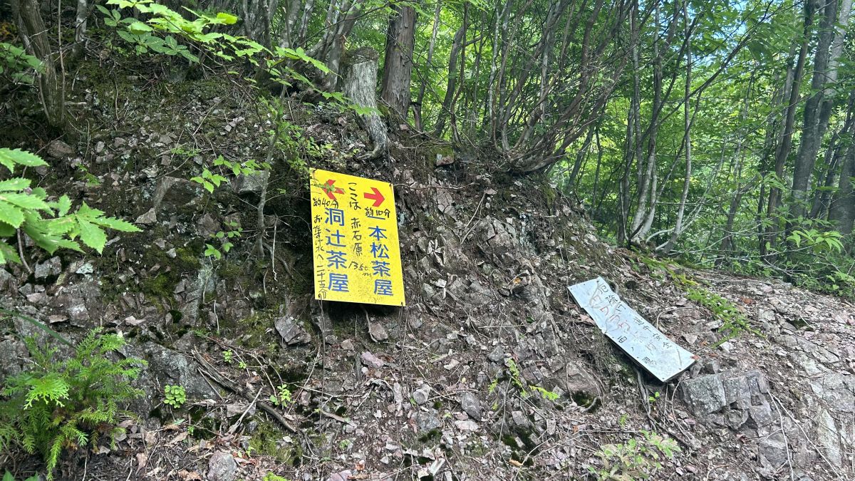
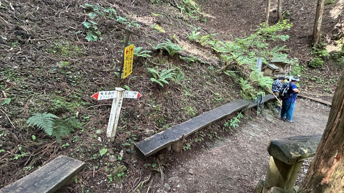
There are several teahouses such as Ipponmatsu Chaya on the mountain trail of Mt. It is a good idea to use this sign as a guide for pacing.
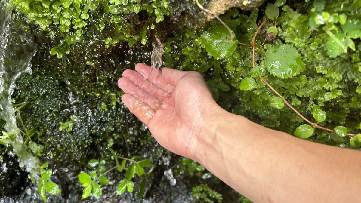
As I continued walking, I heard the sound of running water.
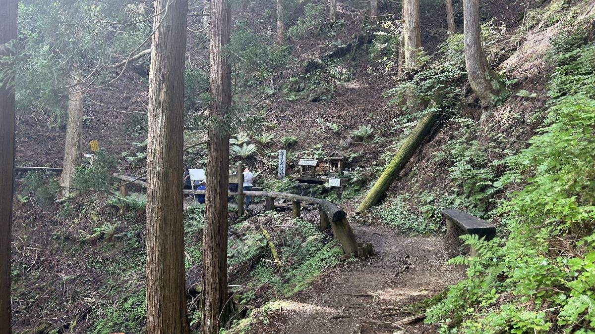
The sound of water seems to come from here.
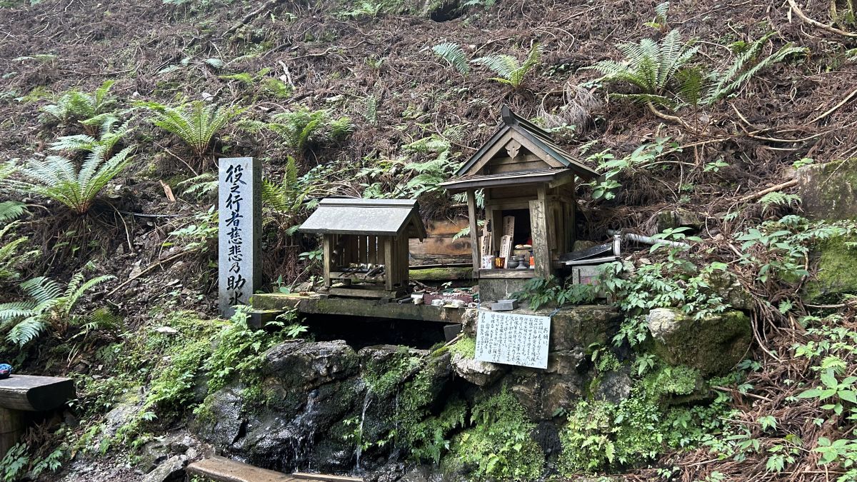
Cold water was flowing.
Benches were set up around the mountain for the climbers to take a rest. It is customary for climbers to greet each other with 'Hello' on normal mountain trails, but at Mt.
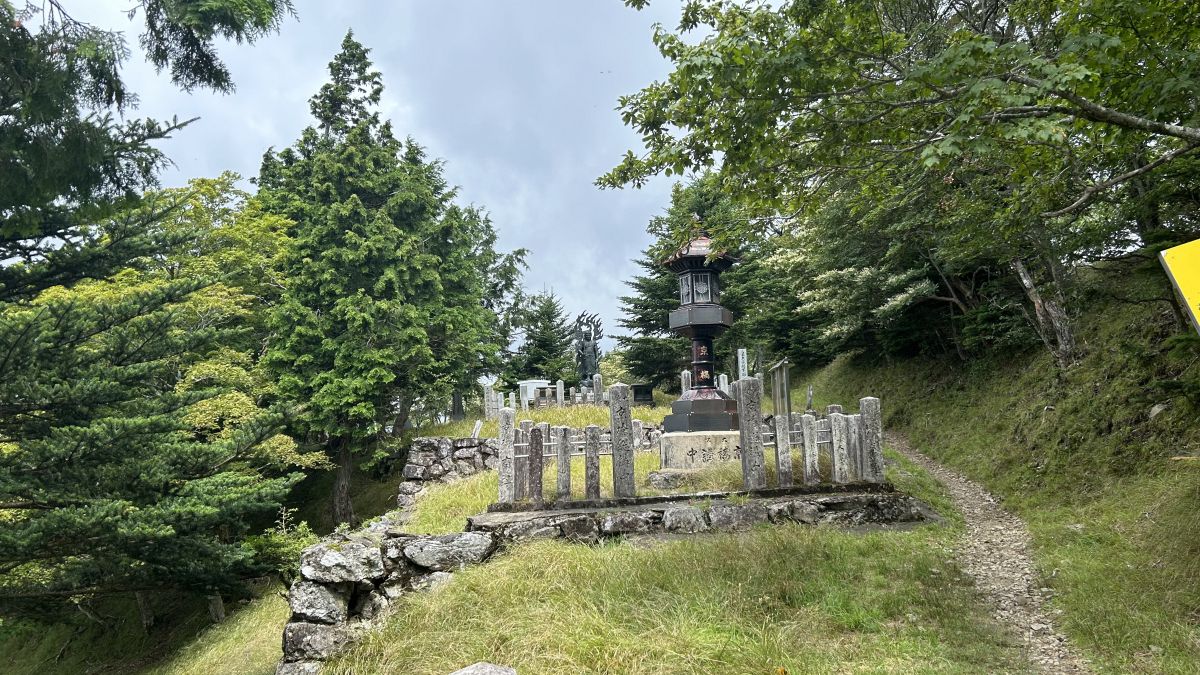
As we went further, we could see the teahouse again. This teahouse is called 'Horatsuji Chaya'.
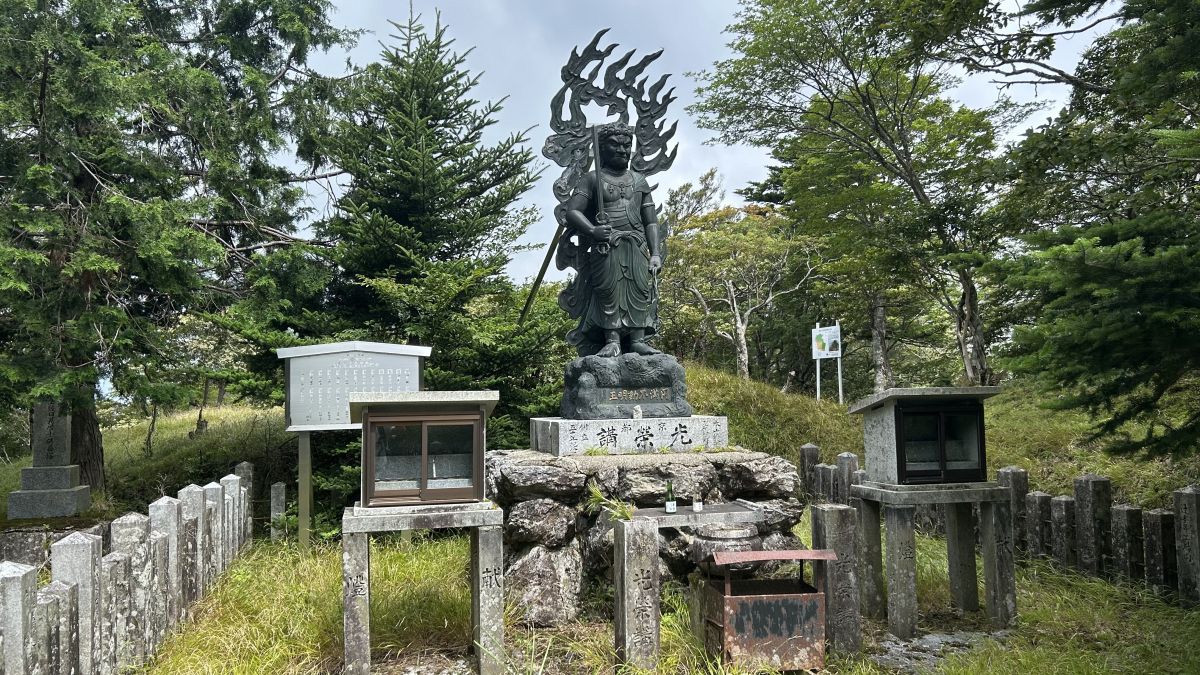
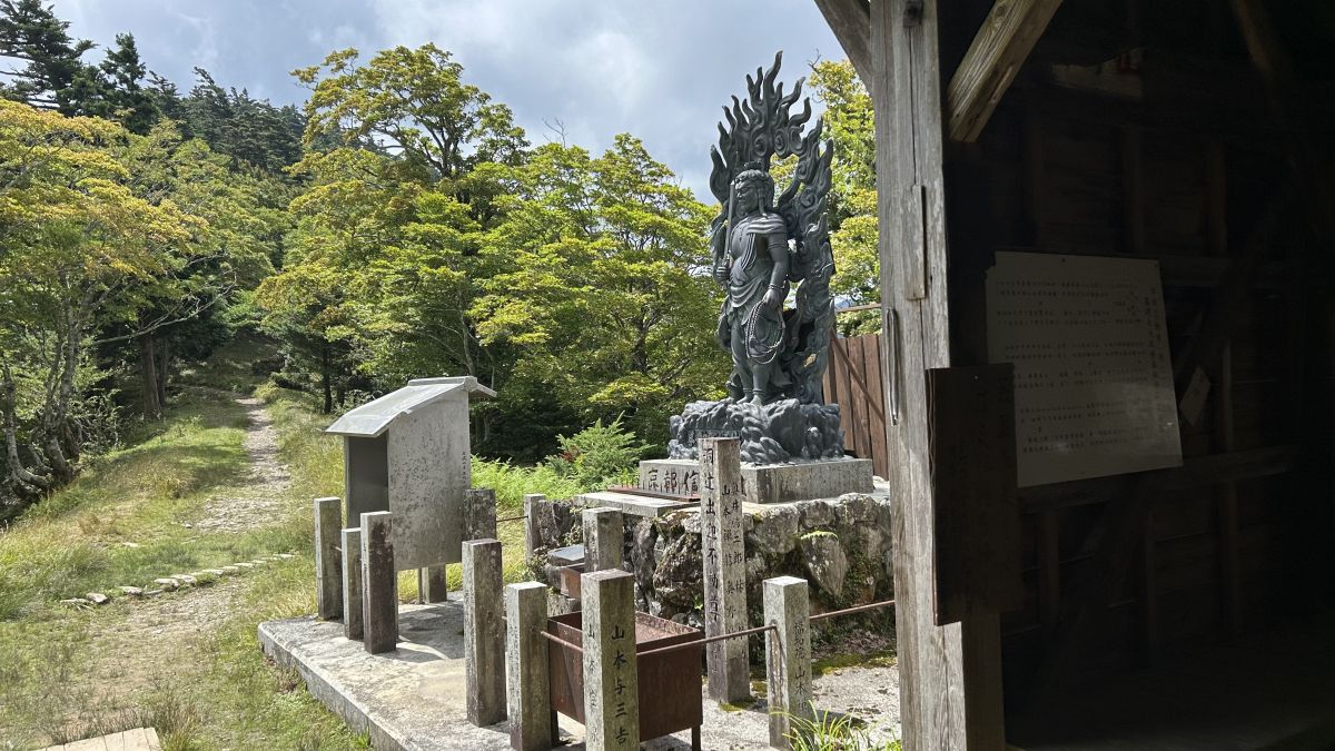
Looking back before entering the Horatsuji Chaya, I could see the statue a little ahead.
Statue of Fudo Myoo.
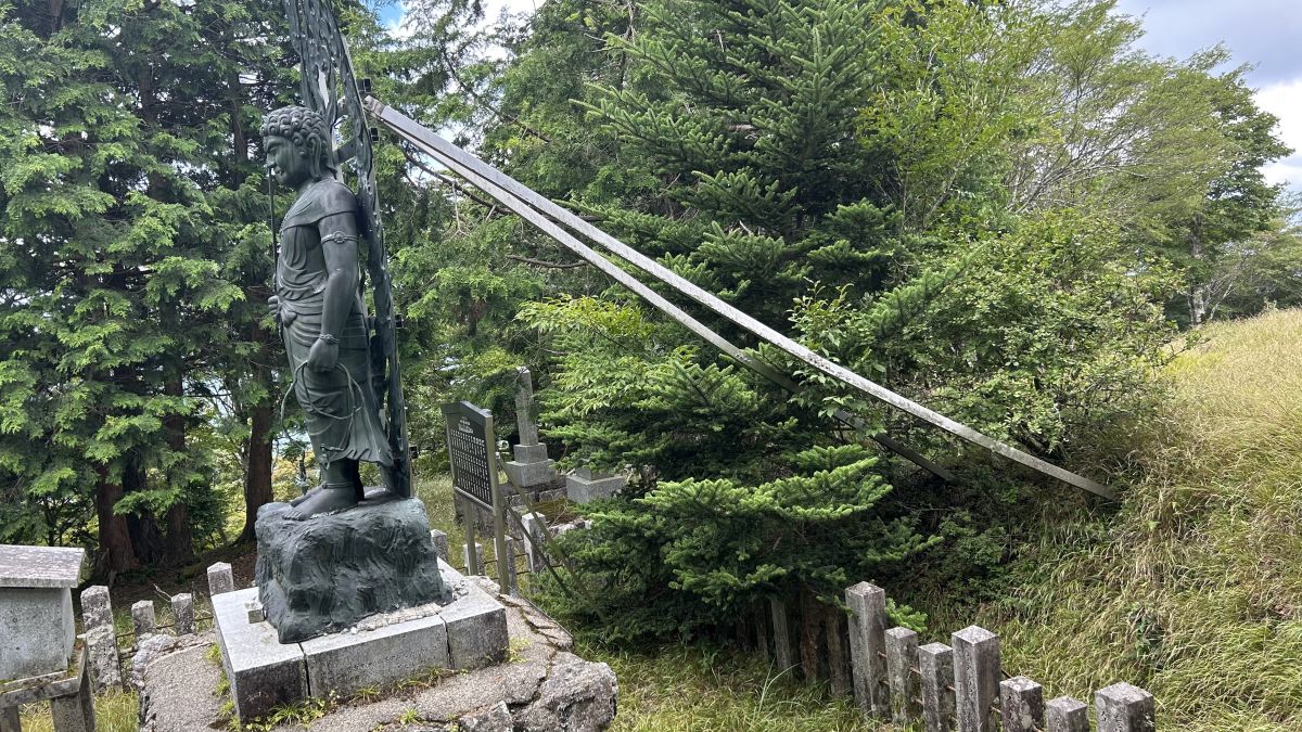
When I went around the back of the statue, I saw a support post extending from its back that seemed to prevent it from falling over.
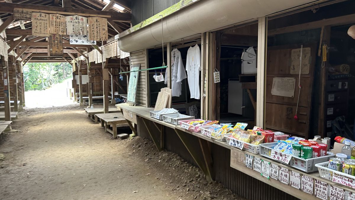
Enter the Horatsuji Chaya.
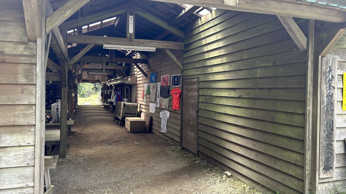
In addition to food such as snacks and cup noodles, shirts and headbands were also sold.
There is also a statue at the entrance on the opposite side.
A little further after leaving Horatsuji Chaya, another hut appeared.
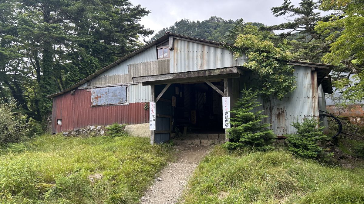
It seems that multiple shops are open in this hut, but this time all the shutters were down.
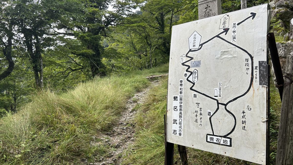
Reached a turning point. Proceed to the left route, which seems to have many landmarks.
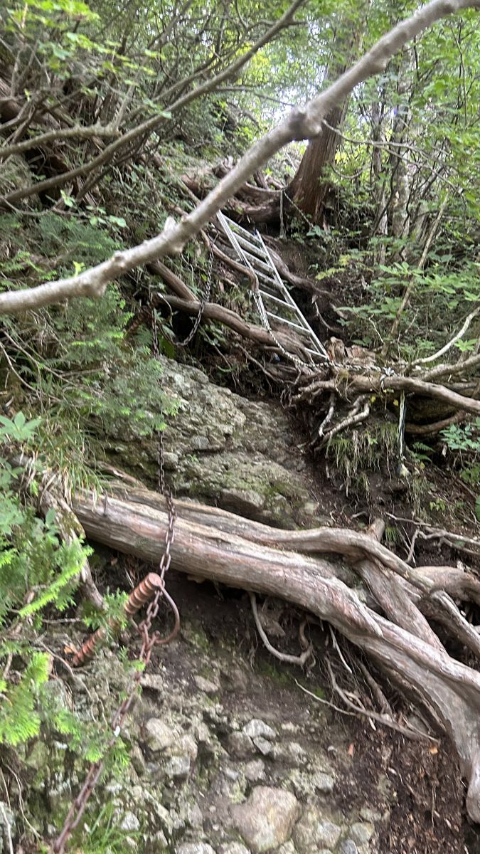
Up to this point, the road was easy to climb, but rocky areas with chains began to appear at an altitude of about 1500m.
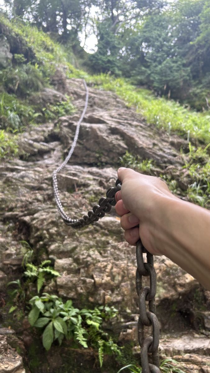
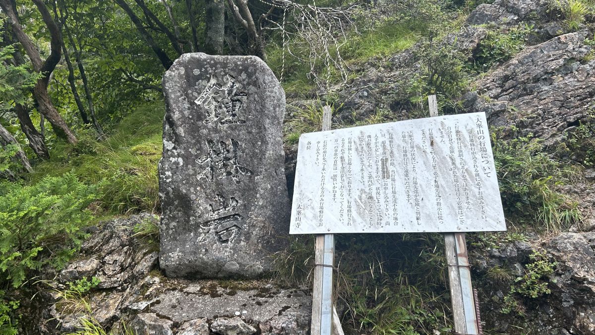
Arrive at 'Kanekake Rock' where you will climb a high rock.
The whole image of Kanekakeiwa is like this. Nearly vertical rocks rise up.
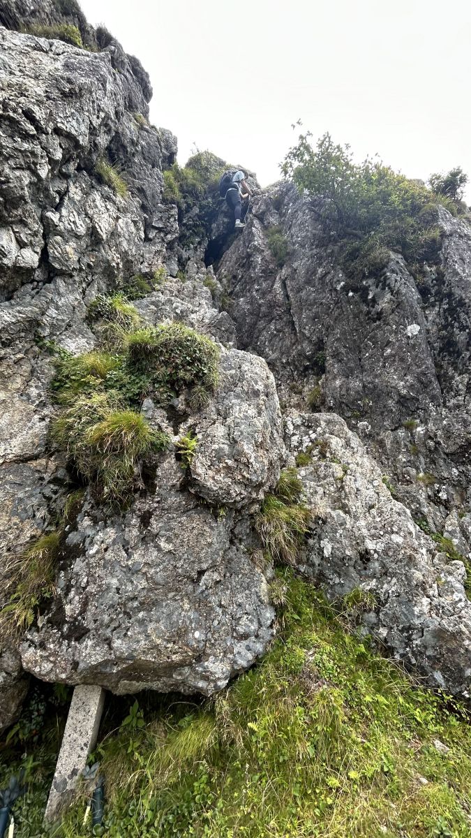
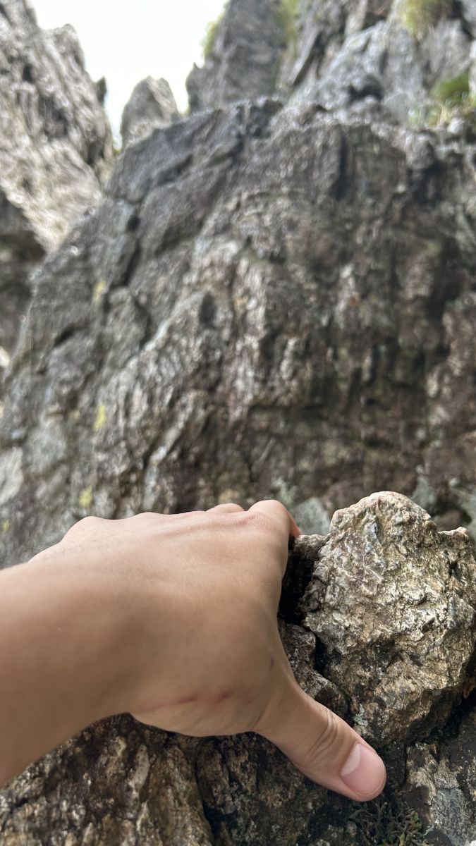
Climb carefully while looking for a stable point.
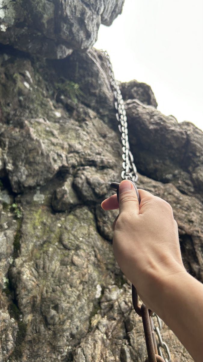
There is also a scene where you grab a chain and climb.
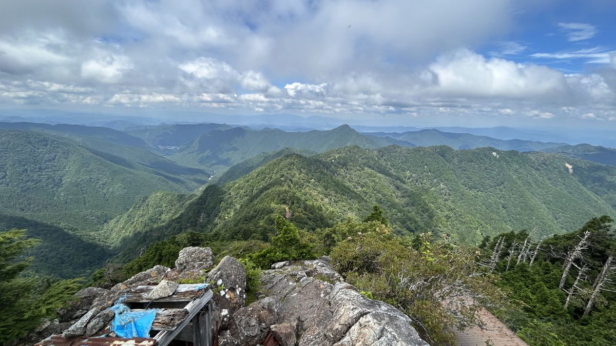
When you climb to the top of Kanekakeiwa, you can see the surrounding mountains.
After descending from Kanekakeiwa and following the mountain trail of Mt.
As I proceeded toward the building, I saw a stone with blue letters written on it.
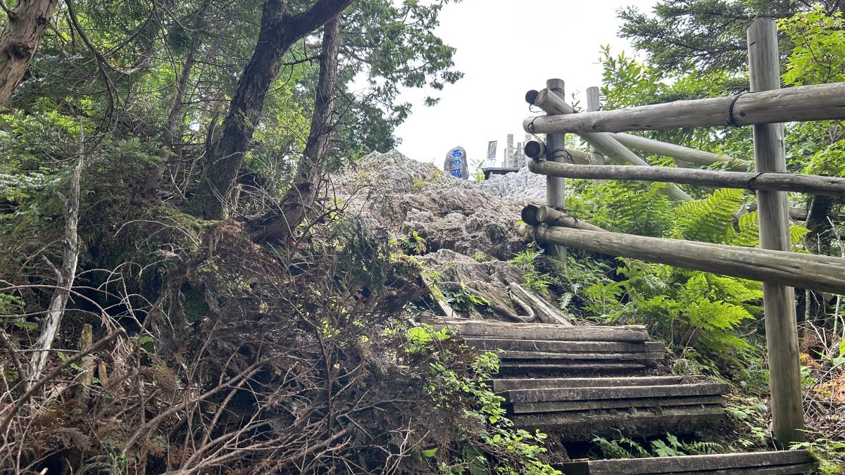
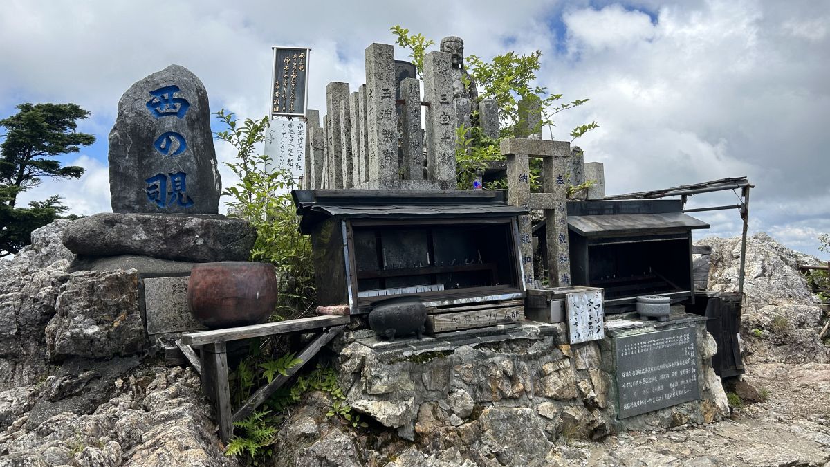
Arrived at 'Nishi no Nozoki'.
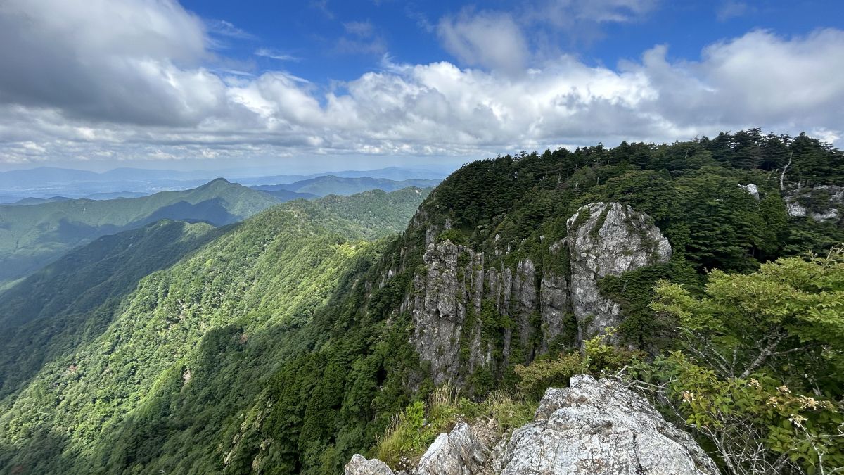
The view from the west side looks like this.
Nishinozoki is not just a scenic spot. Here you can experience the training of 'fixing your body with a rope and leaning over a cliff'. The reference image
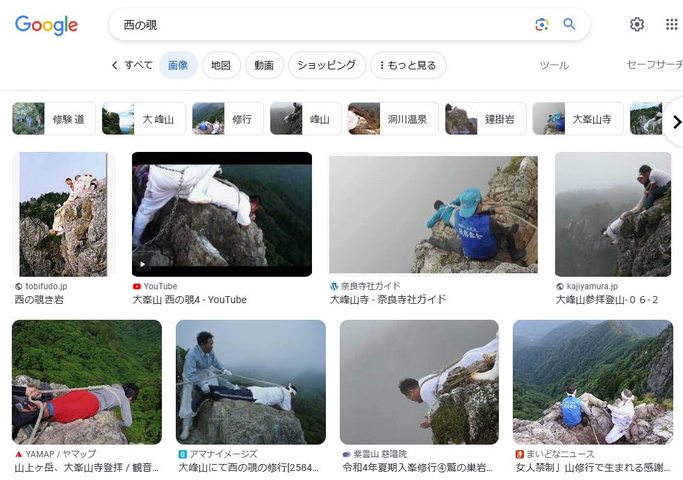
Pedestrians lean out from here. That's horrible.
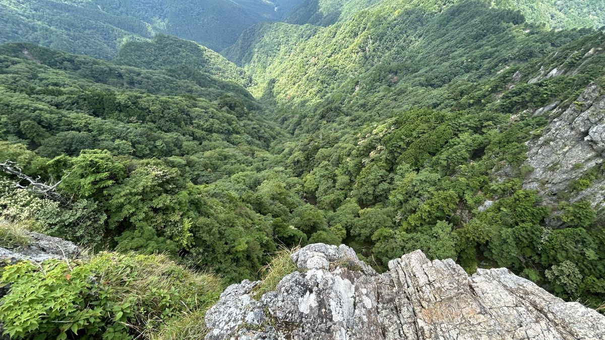
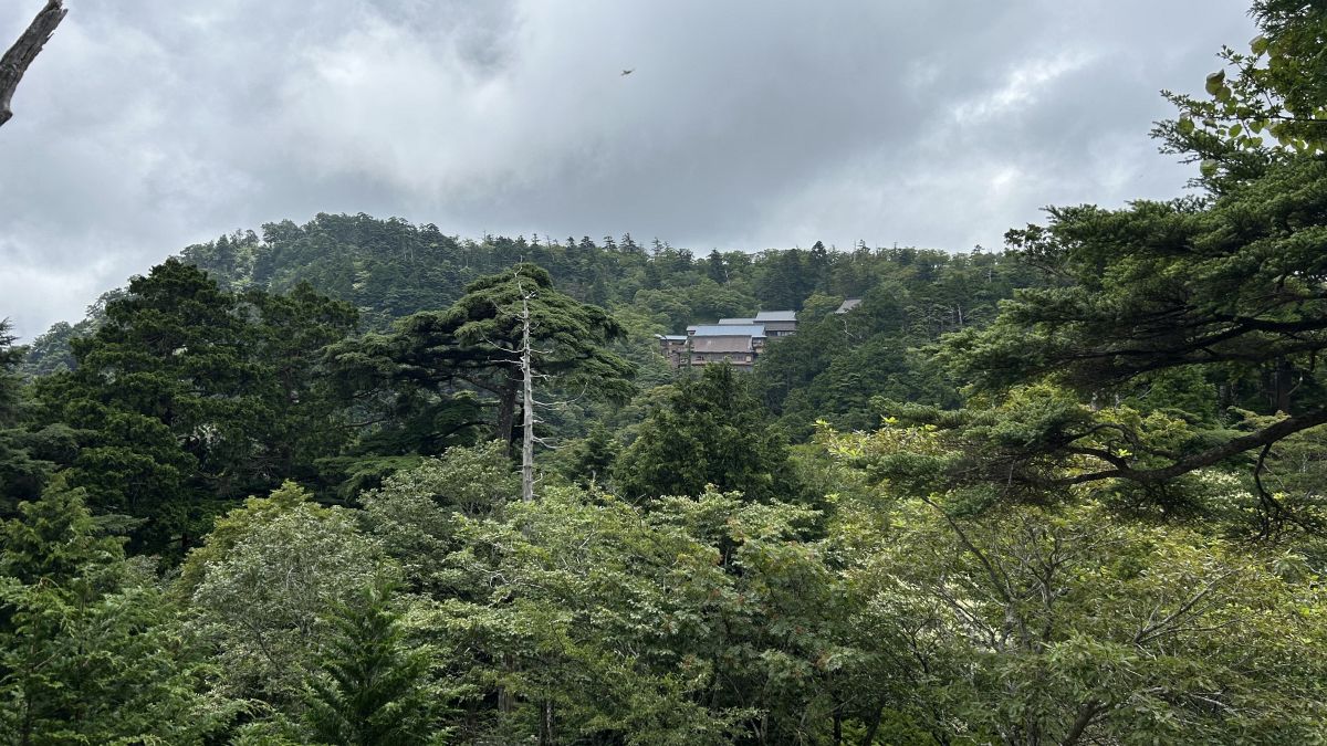
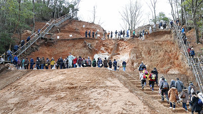
Proceeding from Nishi-no-nozoki, I arrived at a densely packed area of buildings that I could see from below.
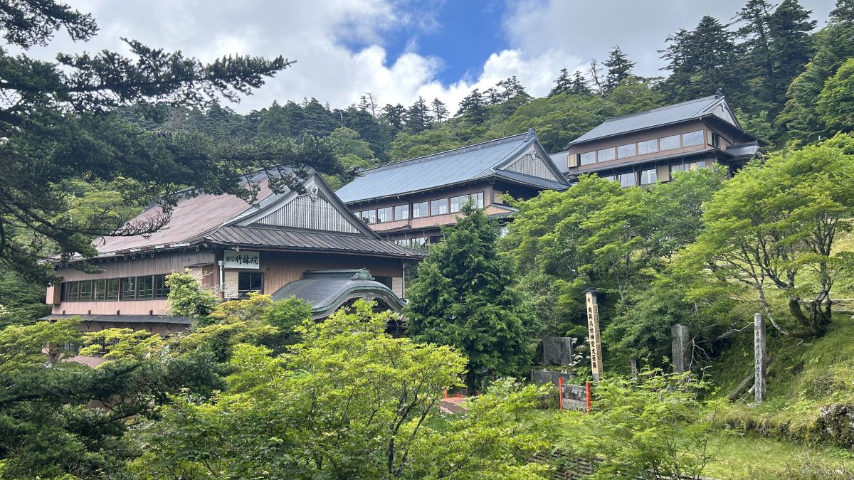
The building is a temple lodging where practitioners stay.
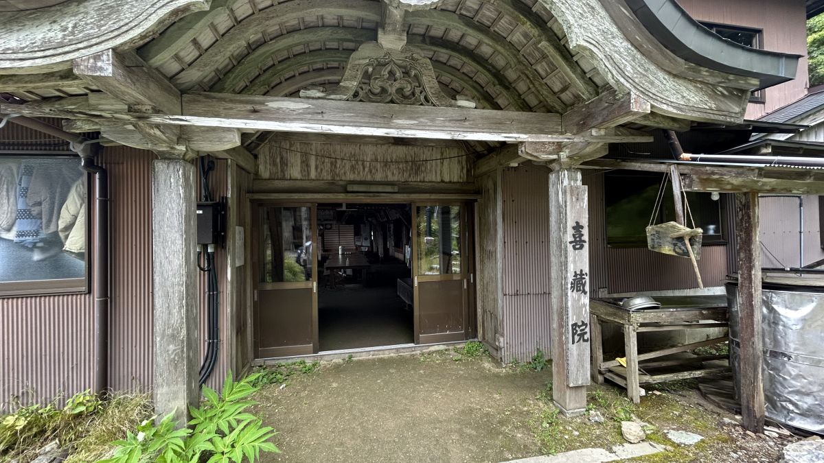
When I asked at the reception of the temple lodging 'Kizou-in' if I could borrow a toilet, they kindly let me.
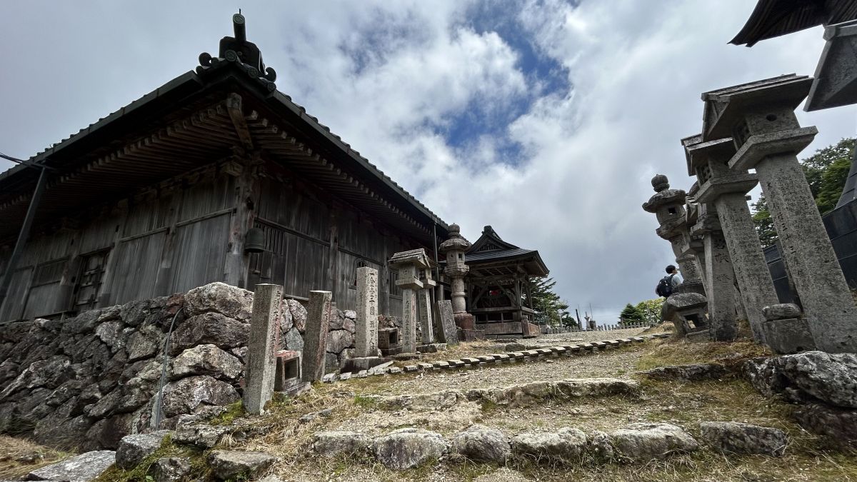
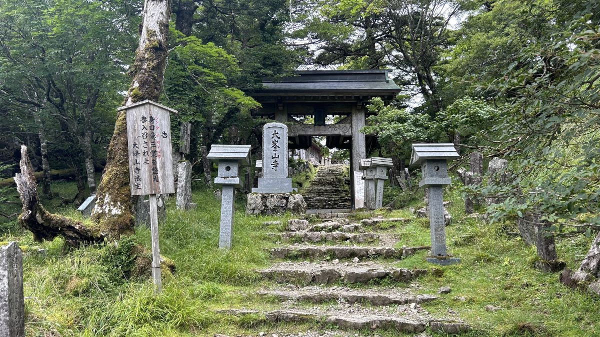
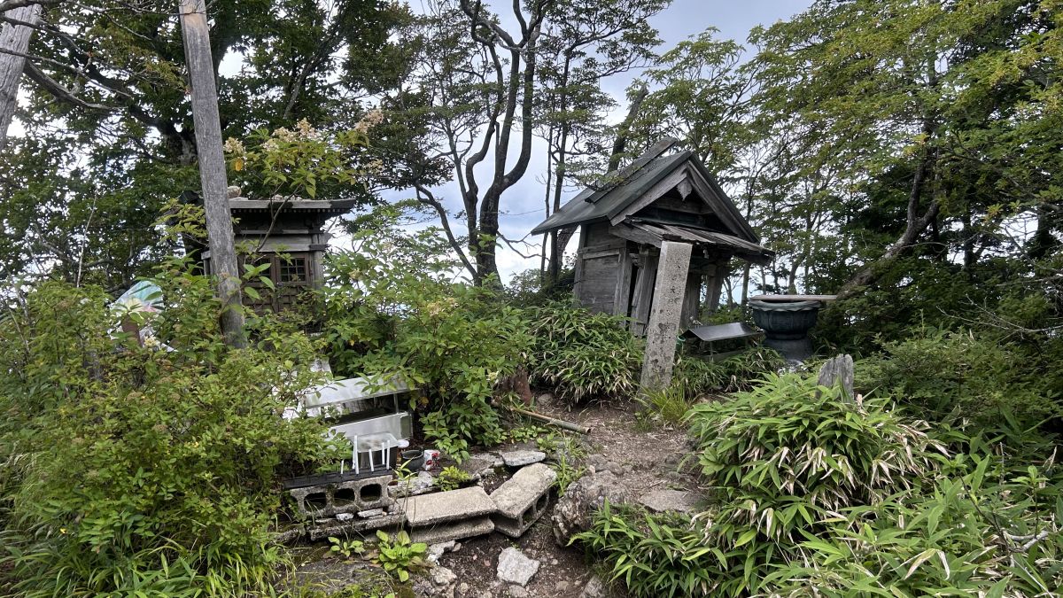
After leaving Kizo-in Temple and proceeding a little further, I arrived at the main gate of 'Ominesanji Temple' located near the summit of Mt. Sanjogatake.
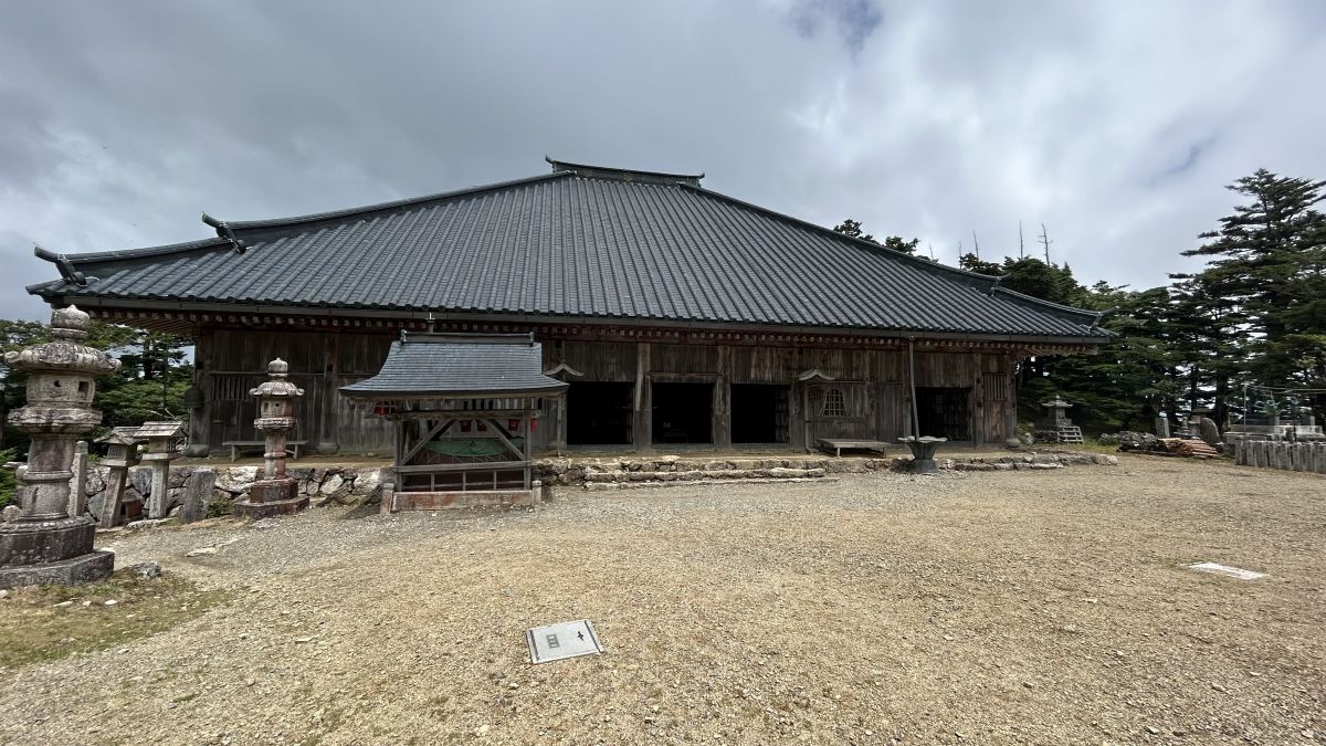
This is what Omineyama-ji Temple looks like. I could hear the nembutsu from inside the hall.
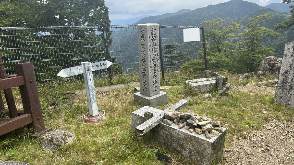
Next to Ominesan-ji Temple, there was a stone monument commemorating the registration of the World Heritage Site. Mt. Omine is part of the World Heritage 'Sacred Sites and Pilgrimage Routes in the Kii Mountain Range', but there are very few signboards that appeal to the World Heritage. Only this monument.
After a short walk from Ominesanji Temple, we arrived at the summit of Mt. Sanjogatake. The altitude is 1719.2m. It took us 3 hours and 55 minutes to reach the summit.
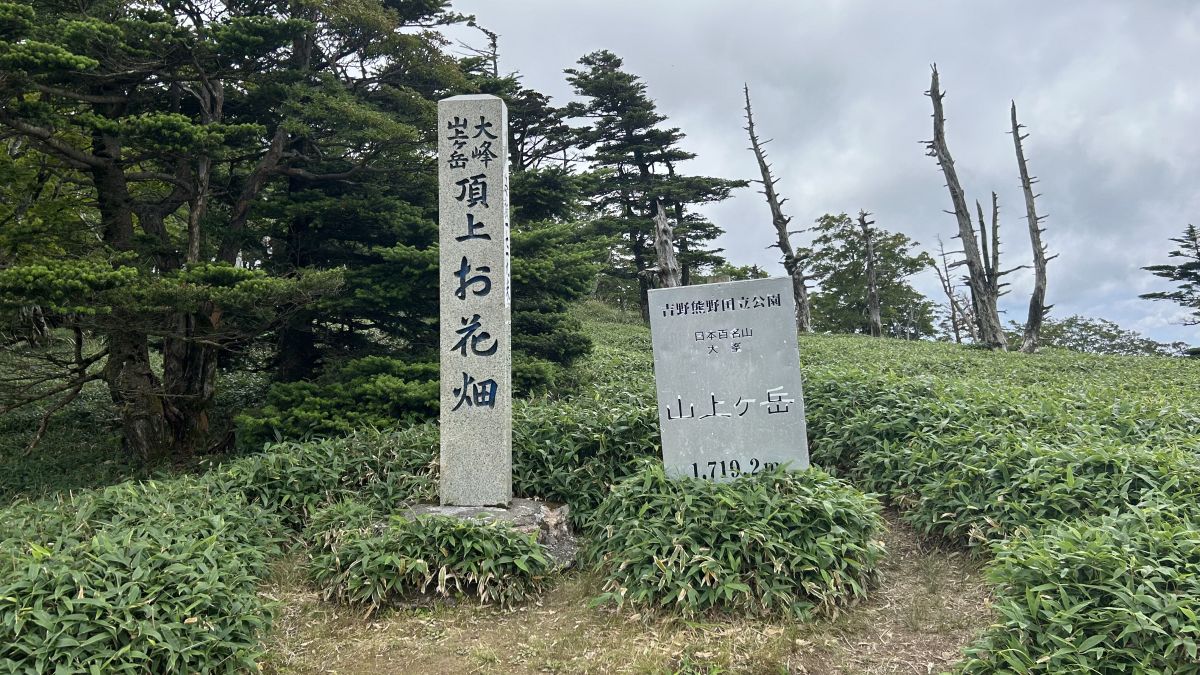
The stone monument says 'Flower garden', but the bamboo grass is just spreading and there are no noticeable flowers.
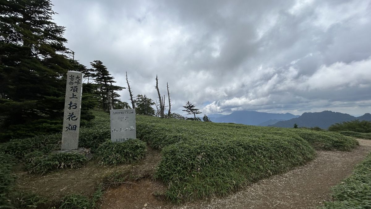
Sasa is also spreading on the other side.
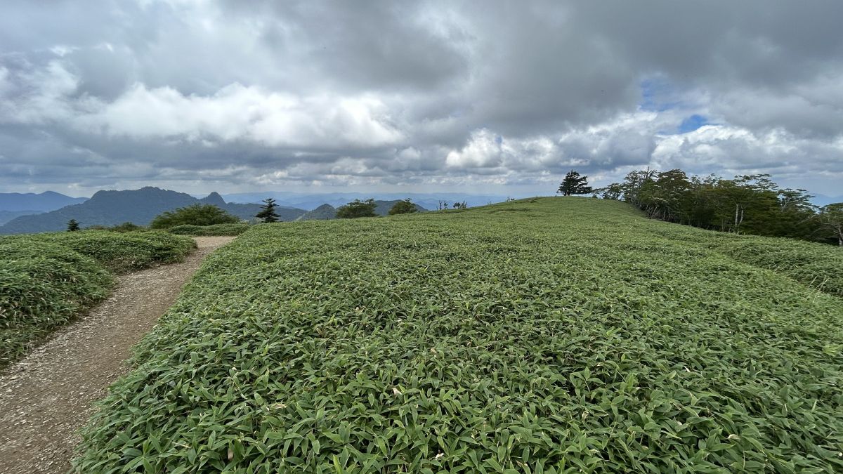
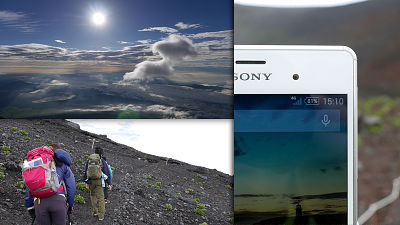
The view from near the top is like this. Without descending the mountain yet, I headed towards Mt.
To the summit of Mt. Dainichi
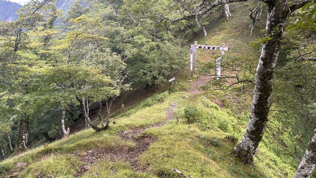
When you go down from Mt. Sanjogatake to Mt. Dainichi, you can see the Renge Tsuji where the Nyonin Kekkai Gate was set up. From here onwards, it is an area where women can enter.
If you look at the ridgeline from the summit of Mt. Sanjogatake to Mt. Dainichi, there are quite a few ups and downs, but the actual ups and downs are less as the trail is gently carved into the slopes.
After a long walk, I reached Inamuragatake Sanso. Inamuragatake Mountain Hut has paid toilets and other facilities.
From here onwards, I found a sign that says no food is allowed.
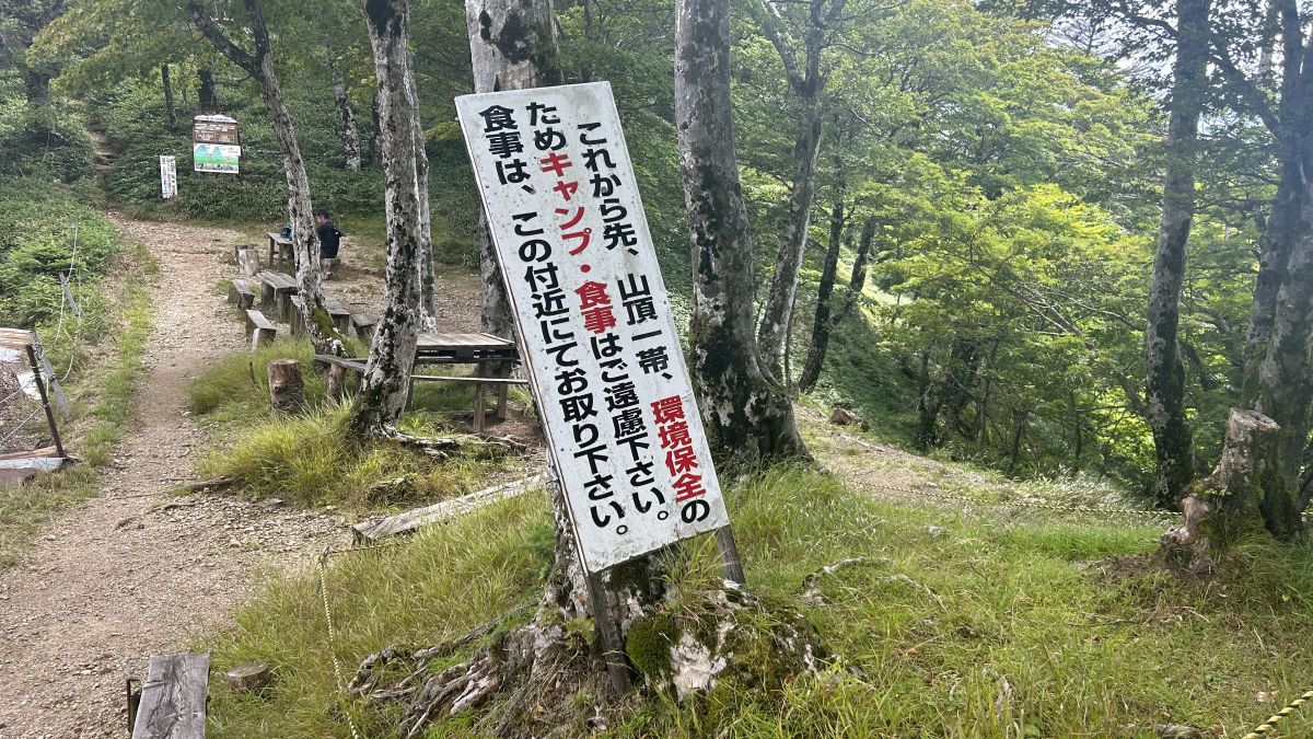
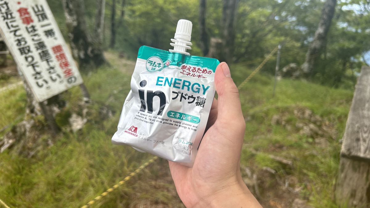
Replenish your energy here. Also, when I reached Mt. Dainichi, I would return to Inamuragatake Sanso on the same road, so I left my heavy rucksack near Inamuragatake Sanso and headed for Mt. Dainichi with only my valuables.
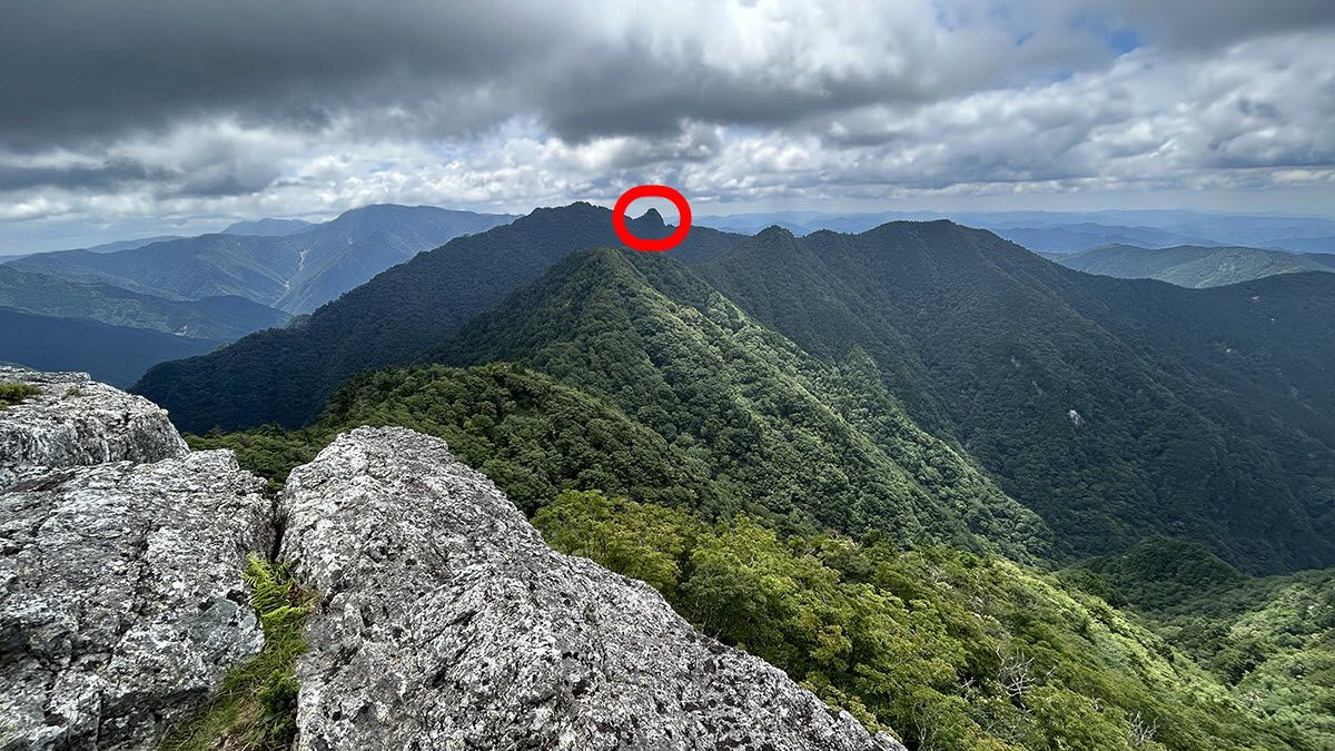
The part that jumped out from the top of Mt. Sanjogatake was approaching.
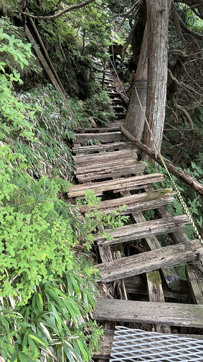
The part that sticks out is a steep slope, and it is impossible to climb without using chains and ladders.
Grab the chain and climb up.

This wooden road was decaying and wobbly, and it was thrilling.
Reached the summit of Mt. The trees are thick and the view is not good.
I collected my luggage at Inamuragatake Sanso and returned to Renge Tsuji located between Mt. Sanjogatake and Mt. Dainichi.
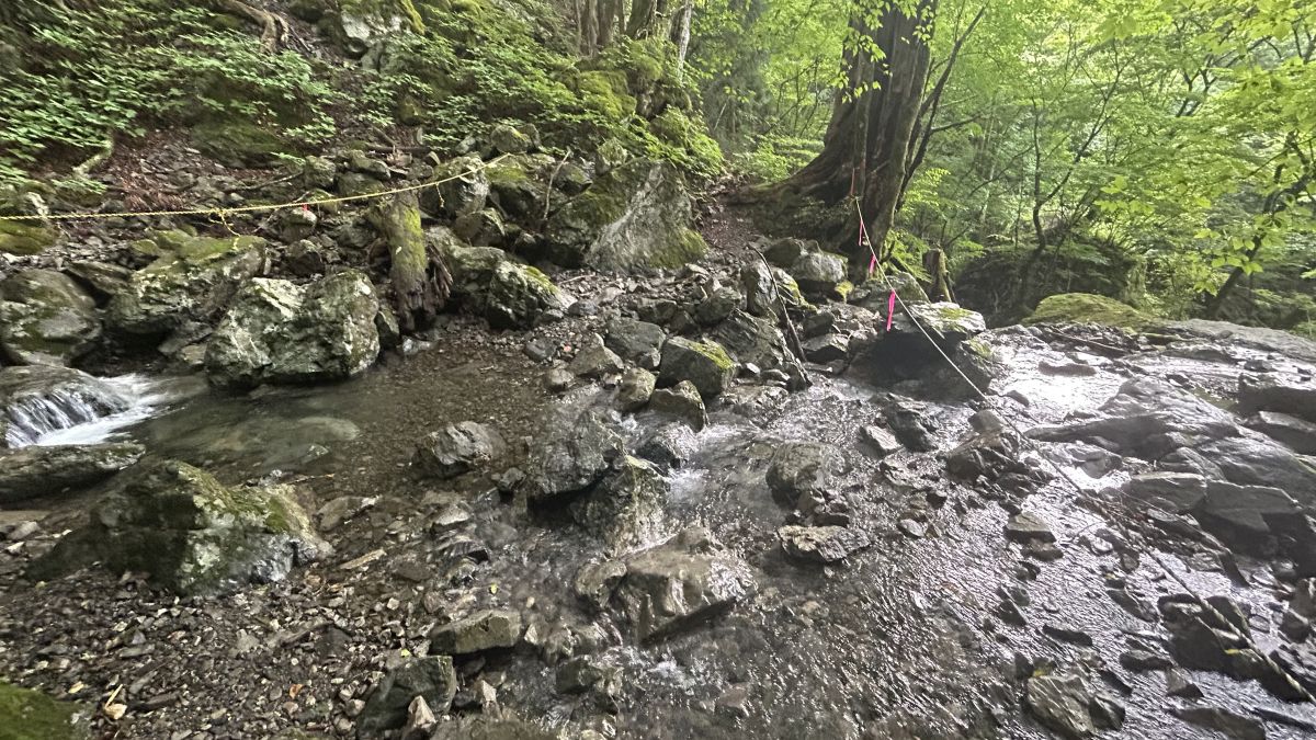
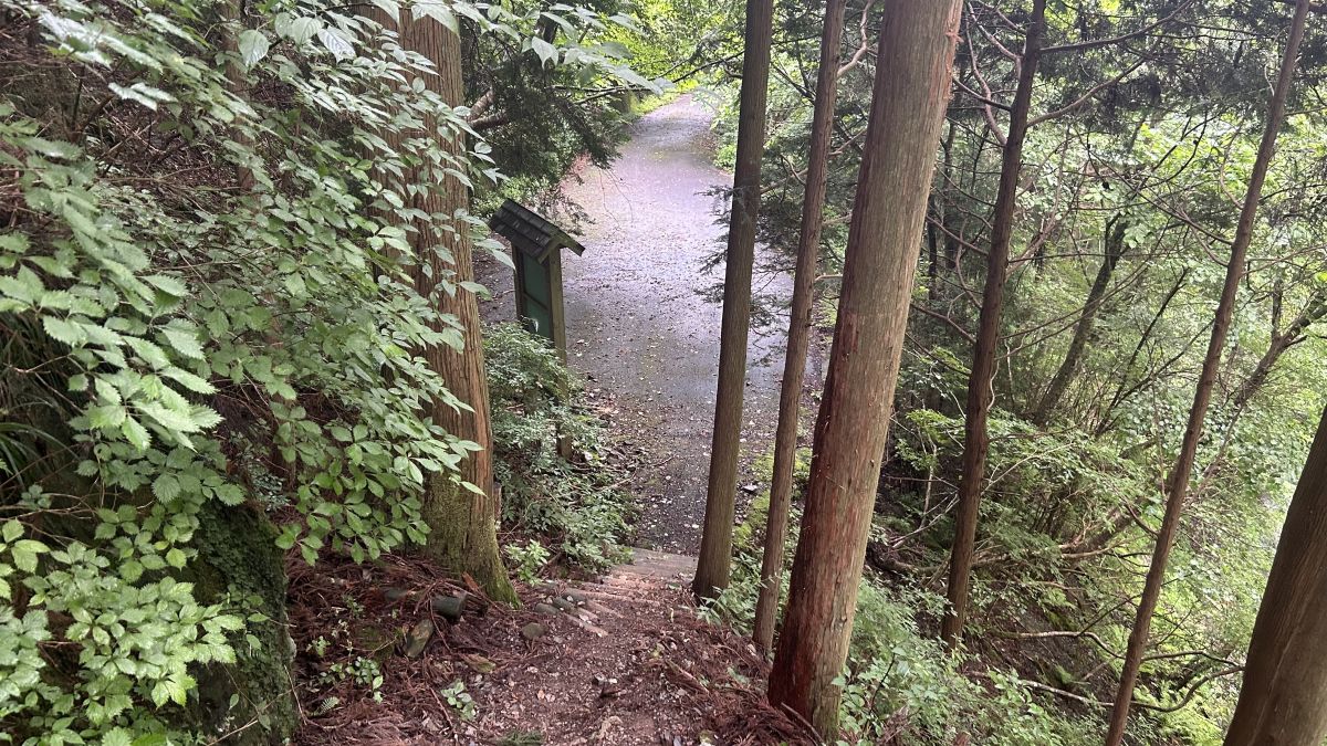
From Renge Tsuji, descend toward the Ohashi Chaya parking lot.
It rained a little, so the small stream was swollen and turned into a river.
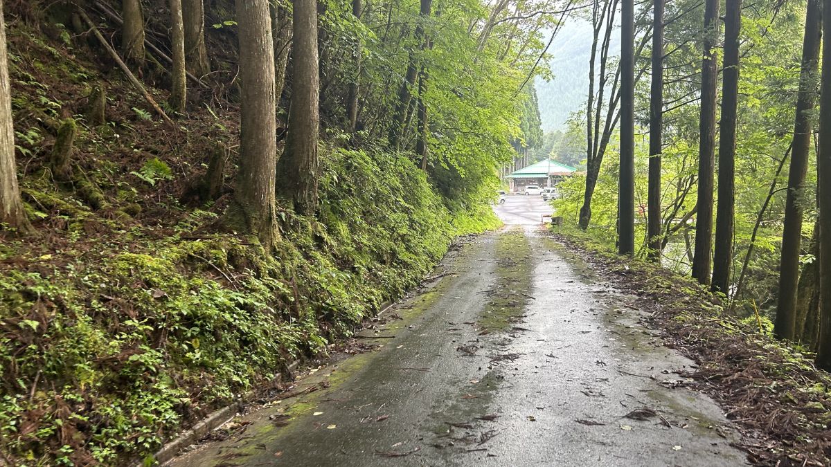
Keep going down and reach the asphalt road. There are no resting spots such as teahouses on the road connecting Renge Tsuji and Ohashi Chaya parking lot, so it is not suitable for beginners.
After walking on the asphalt for about 10 minutes, you will see the Ohashi Chaya parking lot.
goal.
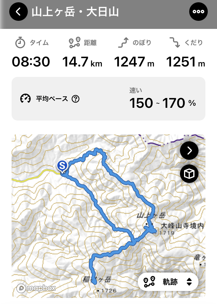
The overall course time is 8 hours and 30 minutes, and the travel distance is 14.7 km. The cumulative elevation was 1247m.
◆ After descending the mountain, go to Dorogawa Onsen
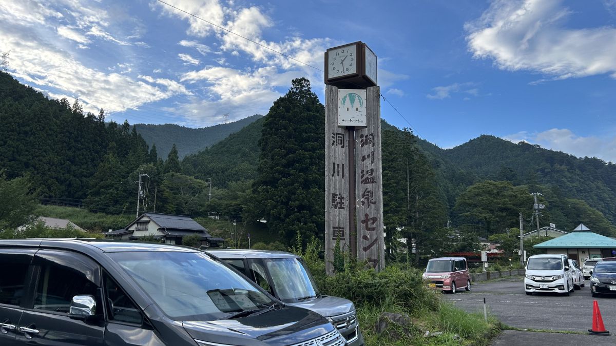
Dorogawa Onsen is located a few minutes by car from the Ohashi Chaya parking lot, so we recommend relaxing here.
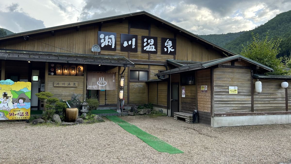
The bathing fee for Dorogawa Onsen was 700 yen, and the parking lot fee was free for 90 minutes for onsen users.
・Continued
The video summary article of Mt.
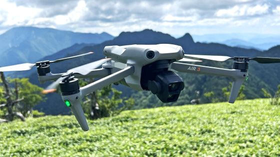
In order to check the performance of the drone 'DJI Air 3' equipped with two cameras, I tried shooting an aerial movie at Japan's 100 famous mountains 'Omineyama' - GIGAZINE
Related Posts:
in Coverage, Posted by log1o_hf