Photo images taken of the earth from satellites giving inspiration with tremendous colors Various

There are various kinds of earth observation satellites,LandsatNo. 7 has an observation wavelength of 8 bands from visible to thermal infrared, and we are still doing optical observation at multiple wavelengths.
So, although the image taken by Landsat is released, there are many images with overwhelming impact, and it seems to be helpful to give us a new inspiration that I had never thought of before. It is beautiful just to make desktop wallpaper simply.
Details are as below.
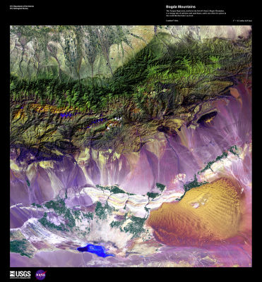
Bogoda mountain in China. Salt lake and sand dune are mixed, and one of the places where the land is lower than the few sea surfaces in the world.
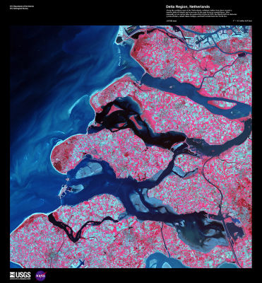
Delta region in the southern part of the Netherlands. It happened in 1953North Sea coastal floodOkay.Storm tide and northwest storm overlap The storm surge rises 4 to 5 m above the average tide level of Amsterdam, levee breakdown 67 places, 400 levee overflows and 200 thousand ha flooding, 1835 dead, more than 200 thousand livestock die"This is a major flood damage called Dam, Embankment, Flood Gate, Rock Gate, etc. constructed to protect the Delta of the River River estuary of the Netherlands from the storm surge"Delta planningIt seems to call it.
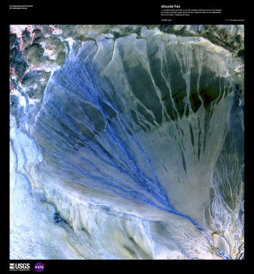
Chinese fan. This vast fan is located in the XinJiang province of China, between the Kunlun Mountains forming the southern boundary of the Taklimakan Desert and the mountain range of Altun.
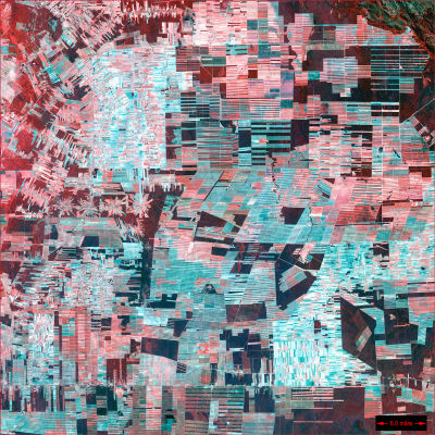
Forest destruction of Bolivia. It shows dramatic forest destruction in the Amazon rainforest. Settlements and farms that were built radially. Healthy plants will look bright and red in this image.
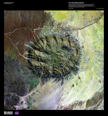
Brandberg mountain rising to the northern end of the Namib desert extending north to the Namibia Republic. It is called a mountain of flames from Aboriginal people and it is said to be made of granite. Also, it seems that prehistoric cave paintings are on the wall part hidden by a steep cliff.
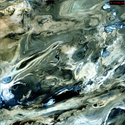
Desert in Iran "Dasht-e Kevir". It consists of mud and salt swamp covered with salt coat, it seems to be an unmanned desert.
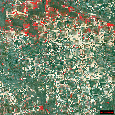
Garden City (Kansas). By the central pivot irrigation system, the arable land near Garden City is a red circle showing healthy plants.
Located in the western part of AustraliaGreat Sandy Desert. It consists of shrubs and rocks, and it is sand dune that appears as a line from left to right.
The fan shape with color attached to light is a scar from wildfire.
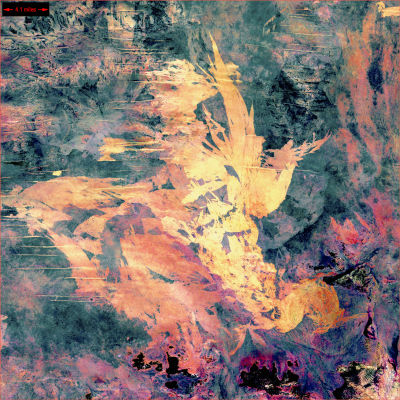
The largest glacier in Alaska, Malaspina glacier. It is in the west of Yakutt Bay and has 3880 square kilometers.

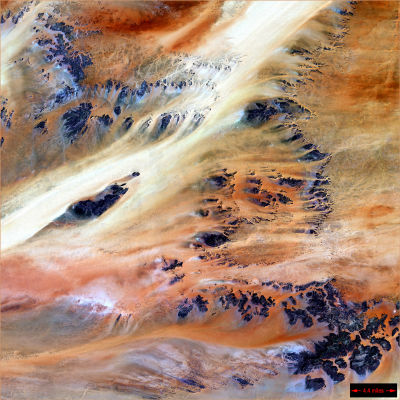
It is Terkezi oasis in the Sahara, located in Chad Republic.
In addition to that, about 60 in total can be seen from the following site.
60 Stunning Satellite Photos of Earth | Webdesigner Depot
Related Posts:

