Various pictures of hurricane of deep power as seen from satellite orbit
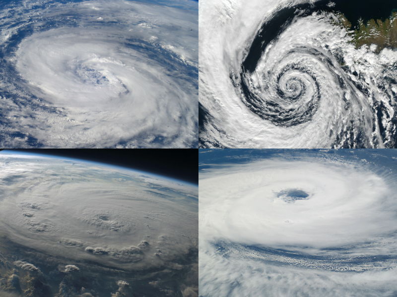
Pictures of various hurricanes taken from the satellite. The images of hurricanes that you usually see are mostly images taken from the scene being broadcasted in the news and images displayed in the weather chart, and there is not much to see pictures from the universe.
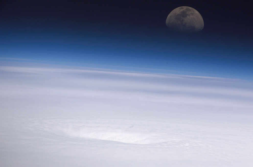
When you look at what shape a hurricane actually is from space, it is very spectacular and impressive, and the power of nature can be felt once again.
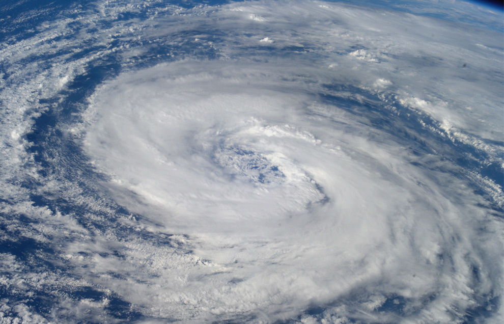
Pictures are as follows. Photographed on 15th September 2003,Hurricane IsabelPhoto of. Hurricane hit America, North Carolina, Virginia, West Virginia and so on.
A picture of Hurricane Kate, taken on October 4, 2003.
Shot on March 27, 2004,Hurricane KatarinaPhoto of. A hurricane that occurred in the South Atlantic Ocean and was raging in Brazil.
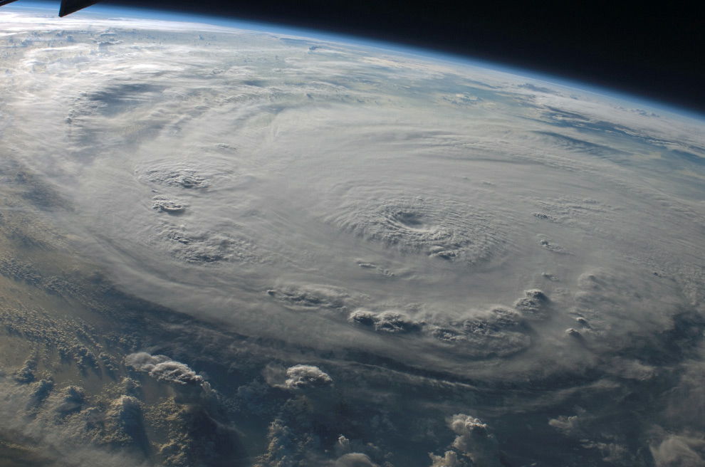
It was taken at noon on September 11, 2004, and it was a rage from Africa to AmericaHurricane EybensPhoto of.
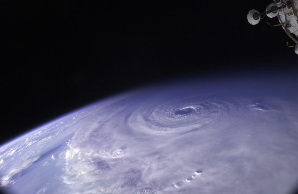
This is also a picture of Hurricane Eyban. It was taken on 15th September 2004. Just by changing the date and shooting direction, the feeling will change.
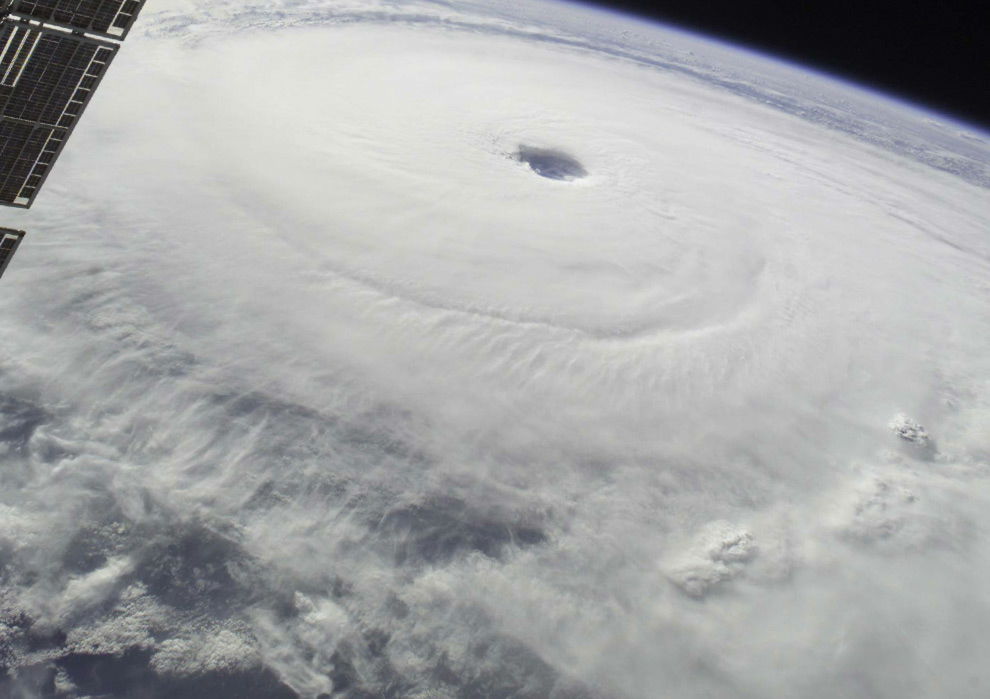
A picture of Hurricane Emily, taken on July 16, 2005. A hurricane that hit the Caribbean.
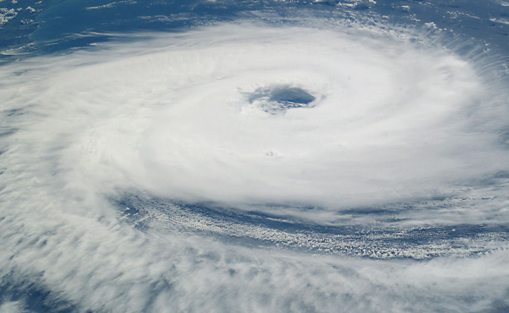
Hit the Caribbean region, which was filmed in the morning of October 19, 2005Hurricane WilmaPhoto of.
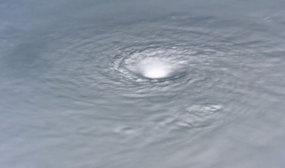
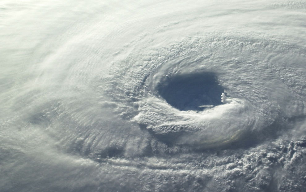
It was taken on 3 December 2005Hurricane EpsilonPhoto of. The tropical cyclone developed near the center of the Atlantic Ocean and became a hurricane.
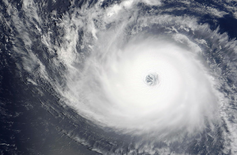
Shot on September 3, 2007,Hurricane FelixPhoto of. A hurricane raging in the Caribbean.
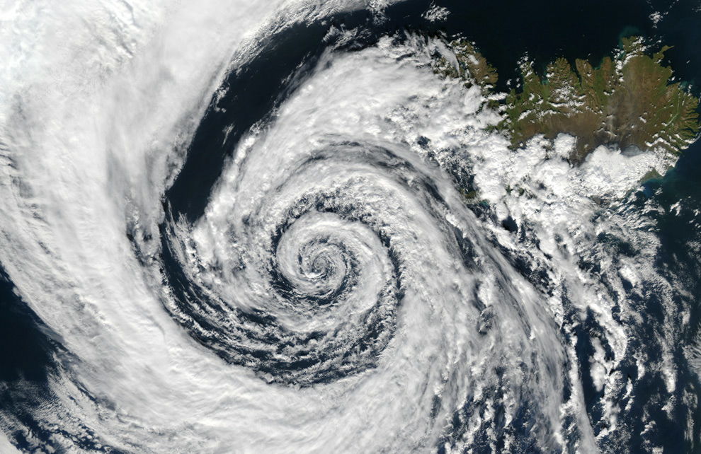
Although it is not a hurricane, clouds swirled beautifully in a low-pressure region that was taken off the coast of southeastern Greenland on September 4, 2003.
Other pictures can be referred to from the following.
Hurricanes, as seen from orbit - The Big Picture - Boston.com
Related Posts:


in Note, Posted by darkhorse_log