Added "Street View", a new function that allows you to see a map from the plan view on Google Maps
The other day Google got multiple domains that combined the word "Google street view" and tried to do something, which apparently seemed to be this "Street View".
This will be able to see not only on the map looked down on Google Maps, but also from the viewpoint actually standing on the road. Areas still providing pictures are limited, but will it become possible to see ruins and historical sites on the plane as this spreads?
Details are as follows.
Google Maps - Street View
At the moment only the English version of Google Maps is offered, and the cities are New York, Miami, Denver, Las Vegas and San Francisco. The camera mark is displayed in the town where Street View is located.

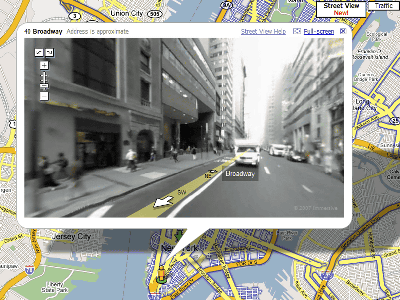
New York is like this. There are pictures on the road displayed in blue.

Per Broadway. You can look around 360 degrees and you can zoom.

It faces the arrow direction under the human icon. This is eastward.

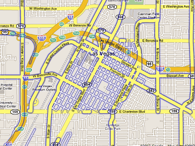
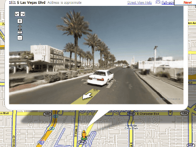
Las Vegas looks like this.
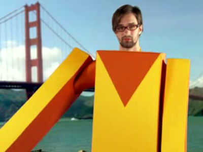
Google's Street View commentary movie. It looks like a fake made by a fan, but it is real.
YouTube - Google Maps Street View
13:52 Additional description
There was a person with subtitles on the above movie. Very easy to understand.
Google Maps New Features Street View How to use Japanese subtitles on video - 7th up media
Subtitles .in | Google Maps Street View
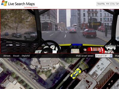
As a similar thing, there is Windows Live Local provided by Microsoft. Here, from the point of view from the driver's seat, you can drive a car, but it seems like it is left now.
Windows Live Local - Virtual Earth Technology Preview
Related Posts:
in Web Service, Posted by logc_nt


