Introducing the open source 'MapTCHA' that proves 'I'm not a robot' by recognizing the outline of buildings more accurately than AI

The Internet is full of
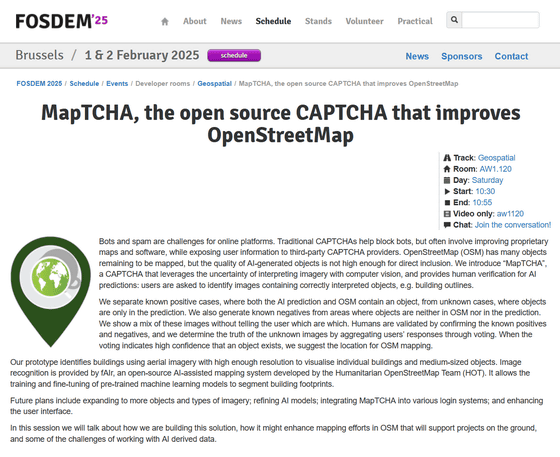
FOSDEM 2025 - MapTCHA, the open source CAPTCHA that improves OpenStreetMap
https://fosdem.org/2025/schedule/event/fosdem-2025-5879-maptcha-the-open-source-captcha-that-improves-openstreetmap/
MAPTCHA Notes - HackMD
https://hackmd.io/@annazan/SJgbLKK6C
'MapTCHA' is an open source CAPTCHA that takes advantage of the uncertainty of image interpretation by computer vision. MapTCHA determines whether the user is a bot or a human by having them judge whether the 'outline of a building' identified by computer vision is accurately depicted.
You can check out what MapTCHA is actually like in the demonstration below.
Welcome to MapTCHA
https://maptcha.crown-shy.com/
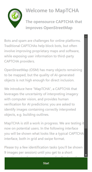
Access the above URL and click 'Start'.

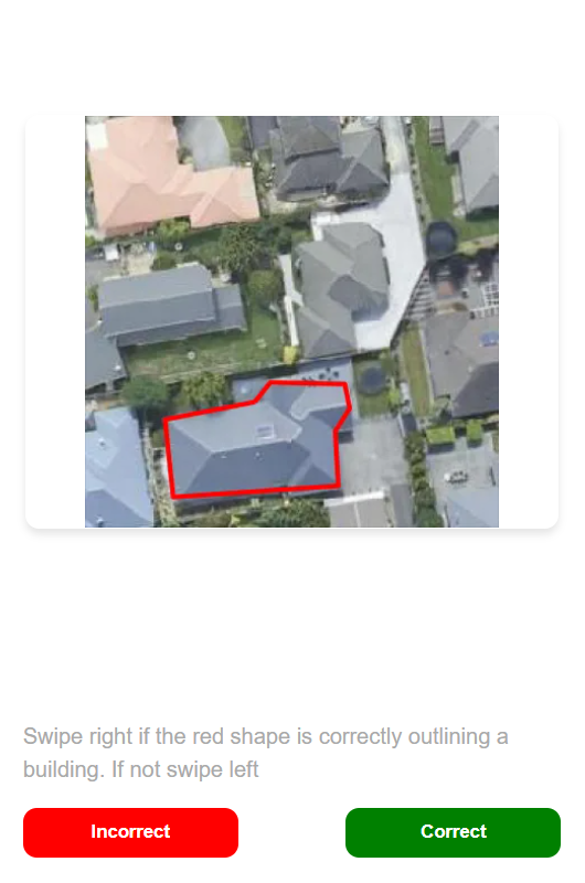
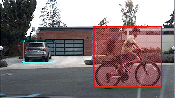
The user is then shown an aerial photograph of the building with a red border drawn around it. The user must decide whether the red border correctly outlines the building, and if it does, click 'Correct.' If it does not, click 'Incorrect.' In the image below, the border does not correctly outline the building, so it is marked 'Incorrect.'
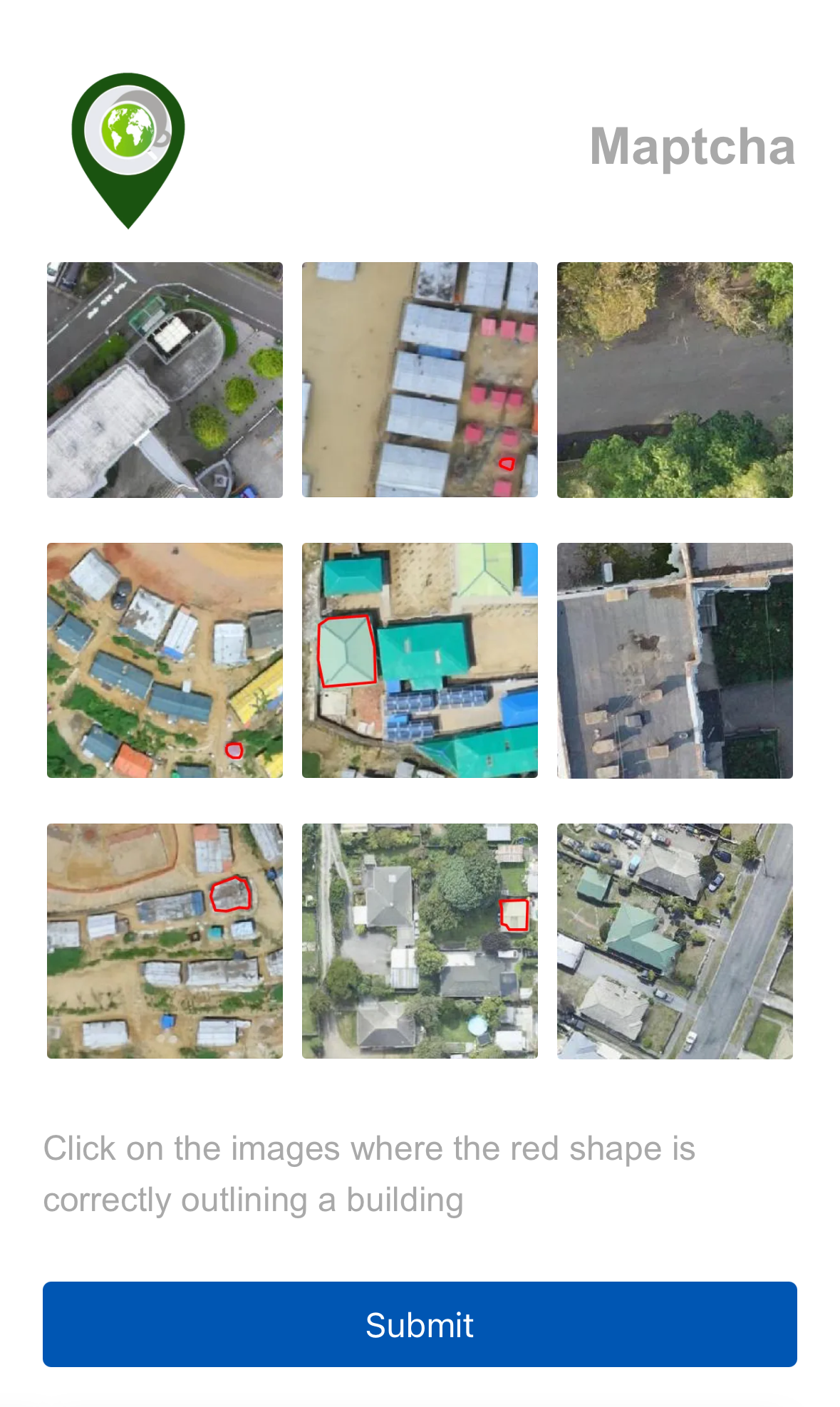
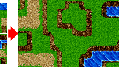
The MapTCHA demonstration can also be run on smartphones. In the case of the smartphone version, nine questions are presented at the same time, as shown below, and the user is asked to select only those whose contours are correctly recognized.
MapTCHA uses high-resolution aerial images that can visualize individual buildings and medium-sized objects. For image recognition, it uses fAIr, an open source AI-assisted mapping system developed by the Humanitarian OpenStreetMap Team (HOT). fAIr is an AI assistant mapping tool developed to identify buildings from satellite images.
There are still many buildings that have not been mapped in OpenStreetMap, and there are still several cases where they are inappropriately mapped. fAIr was originally developed to help map these buildings, but it seems that the accuracy is still insufficient to incorporate it into OpenStreetMap.
Still, Anna Zanchetta, a researcher who developed fAIr in collaboration with the Humanitarian OpenStreetMap Team, seemed to think that fAIr might lead to some good ideas. And she came up with the idea of using it for CAPTCHA for OpenStreetMap, and MapTCHA was born.
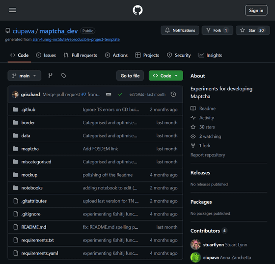
MapTCHA is developed as open source and the source code is available on GitHub.
GitHub - ciupava/maptcha_dev: Experiments for developing Maptcha
https://github.com/ciupava/maptcha_dev
Related Posts:


in Software, Web Service, Posted by logu_ii