LiDAR survey reveals ancient Mayan city ruins, triggered by 'accidental discovery of data on about page 16 of Google search'

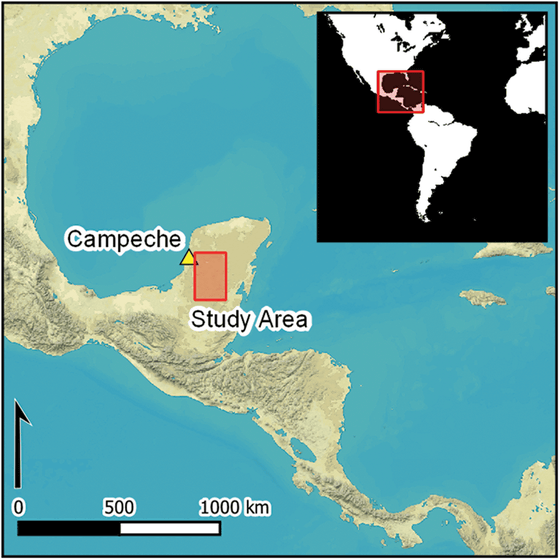
A research team from Tulane University in the United States has discovered ruins including an unknown ancient city with pyramids in Campeche, located on the west side of the Yucatan Peninsula in eastern Mexico. The discovery was triggered by a chance encounter during a Google search.
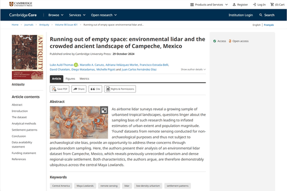
Running out of empty space: environmental lidar and the crowded ancient landscape of Campeche, Mexico | Antiquity | Cambridge Core

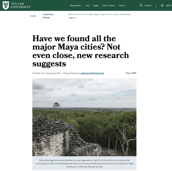
Have we found all the major Maya cities? Not even close, new research suggests | Tulane University News

Many settlements built during the Maya civilization have been discovered in the state of Campeche in Mexico, but the eastern part of the state and the state of Quintana Roo, which borders Campeche to the east, have not yet been explored as extensively as other regions.
So for the past 10 years, a research team from Tulane University has been conducting fieldwork in the state of Campeche, taking aerial photographs using

Meanwhile, researcher Luke Old-Thomas discovered high-quality LiDAR data collected by the Mexican Nature Conservation Agency in 2013 as part of a forest monitoring project. After processing the data using archaeological techniques over 50 square miles of land around Campeche, he found more than 6,500 structures, including an unknown city with iconic stone pyramids. These are believed to have been three cities with a maximum population of 30,000 to 50,000 people between 750 and 850 AD.
Old-Thomas apparently came across the data 'by chance while searching on Google, around page 16. '
'Thanks to generous funding from the Hitz Foundation, the Institute for Mid-American Studies has been at the forefront of the use of LiDAR technology in archaeological research over the past decade, expanding our efforts from data analysis to data collection and acquisition,' said Professor Marcello A. Canuto, director of the Institute for Mid-American Studies at Tulane University.
According to Old-Thomas, the LiDAR survey enabled the rapid and highly accurate mapping of large areas, resulting in the discovery of many previously unknown buildings and the visualization of the large population of the Maya civilization. At the beginning of the survey, LiDAR was only used around the ruins of large cities such as Tikal , and it was said that it formed a distorted image of the Maya lowlands, but as the survey progressed, it was shown that the Maya, like other ancient civilizations, built towns and communities in tropical regions.
Related Posts:
in Science, Posted by logc_nt


