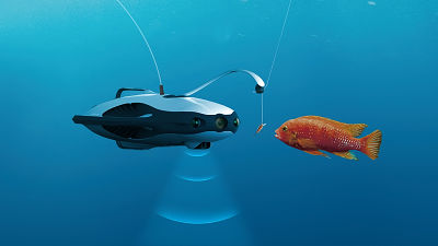
A global survey using AI reveals that up to 75% of fishing boats may be conducting ``black fishing'' by avoiding tracking without disclosing their location
The industrial value of the ocean is expected to double by 2030, and efforts to prevent illegal fishing and overfishing are becoming increasingly important. As part of this effort, research has revealed where and how ships in each country operate, and it has been revealed that 75% of ships sail without disclosing their location. Ta.
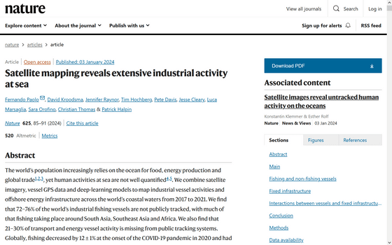
Satellite mapping reveals extensive industrial activity at sea | Nature
We used AI and satellite imagery to map ocean activities that take place out of sight, including fishing, shipping and energy development
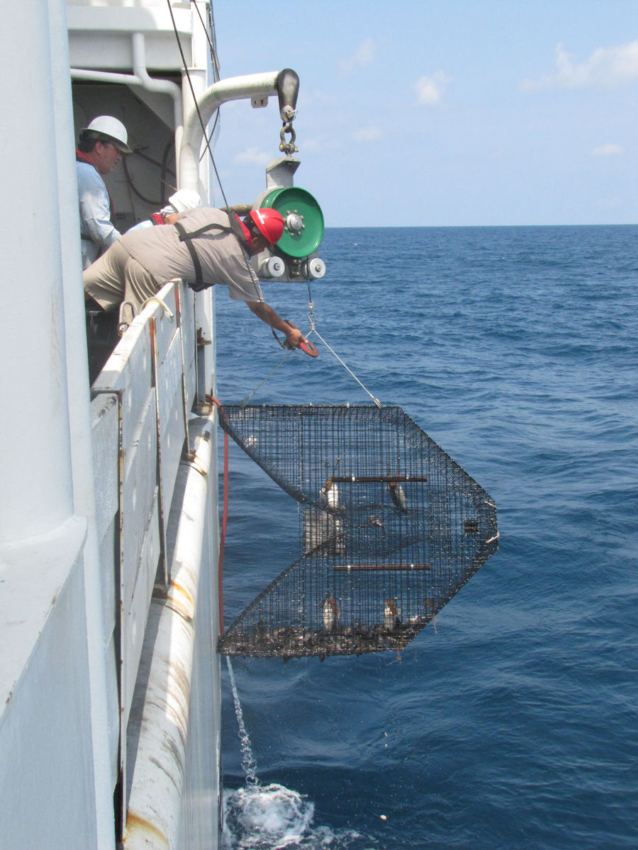
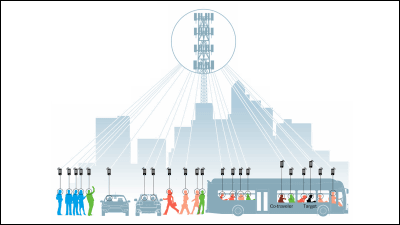
Many ships are equipped with a device called an Automatic Identification System (AIS), which automatically transmits the ship's identity, location, route, and speed. These devices are used to communicate with other nearby AIS to reduce the likelihood of ship collisions at sea and to guide ships away from structures such as wind turbines, as well as relay systems on shore. It is also used to monitor ship traffic and fishing activities by communicating with satellites and satellites.
However, AIS has blind spots. Not all ships are required to use AIS, and in some areas AIS reception may be poor, or illegal vessels may intentionally disable AIS or falsify the location information they send. There are cases where you do. To avoid these problems, some countries require fishing vessels to use their own vessel monitoring systems, but the vessel location data obtained by these systems is generally confidential.
Investigations into the activities of ships in the world's oceans have been extremely difficult, as location data is often not made public and tracking by AIS is not perfect. Jennifer Rayner, a professor of natural resource economics at the University of Wisconsin-Madison, and her colleagues conducted a five-year follow-up study using a combination of satellite images, ship GPS data, and AI. Based on publicly available information, we were able to successfully identify a large number of vessels.
As a result, approximately 75% of the fishing boats detected by Rayner and his colleagues had disappeared from the public AIS monitoring system. They also found that many of the missing fishing vessels operated around Africa and South Asia, which Rayner and colleagues say 'fundamentally changes our knowledge of the scale, scope, and location of fishing operations.'
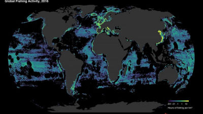
The following is a distribution map of ships captured by Rayner et al. The blue part represents ships that are being tracked by AIS, and the red part represents ships that cannot be tracked by AIS.

For example, publicly available AIS data shows that Asia and Europe catch similar amounts of fish, but when vessels not detected by AIS are included, Asia catches significantly more. It can be predicted that there will be more. Additionally, it has been found that approximately 25% of transportation and energy-related vessels other than fishing vessels could not be tracked using AIS.
It is possible that the ship intentionally turned off AIS, but it is also possible that the ship was in a place with poor reception, or that the satellite was not picking up the transmission even though it was transmitting position information. It seems that it will be done.
In addition to vessel locations, Rayner and his colleagues also identified approximately 28,000 offshore structures, primarily oil platforms and wind turbines, but also piers, bridges, power lines, fish farms, and other man-made structures. . This kind of data is unprecedented in the world, and it is said that it includes many things that have not been shown on maps before.
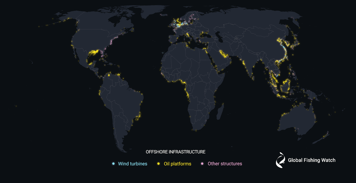
The data for this study is available free of charge through the data portal Global Fishing Watch , and the data will be maintained and updated over time.
Related Posts:
in Science, Posted by log1p_kr