'River runner' that can simulate what route the rain will take to reach the sea
The rain that falls on land soaks into the ground, flows into rivers, and finally flows to the sea. 'River runner' is a site where you can simulate what route rain will take to reach the sea by comparing it with an actual map.
River Runner
When you visit the River runner page , you will see a map of the United States like this. River runner can only simulate the rain that fell in the United States at the time of writing the article.
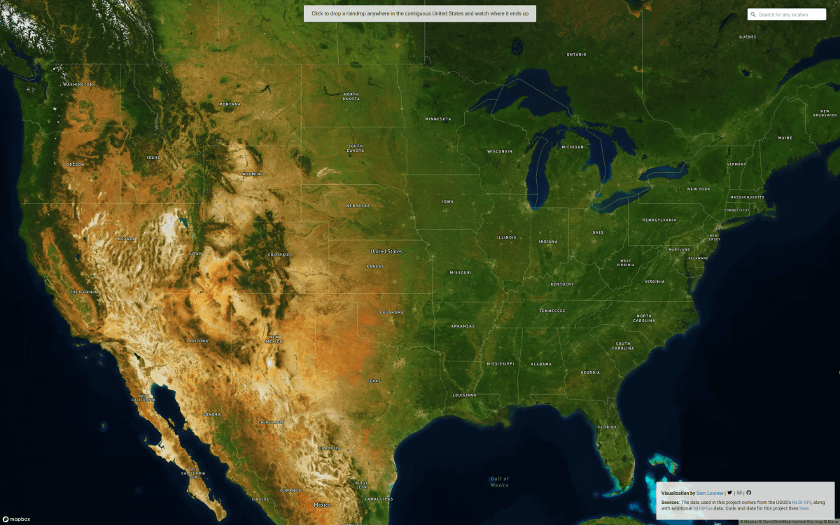
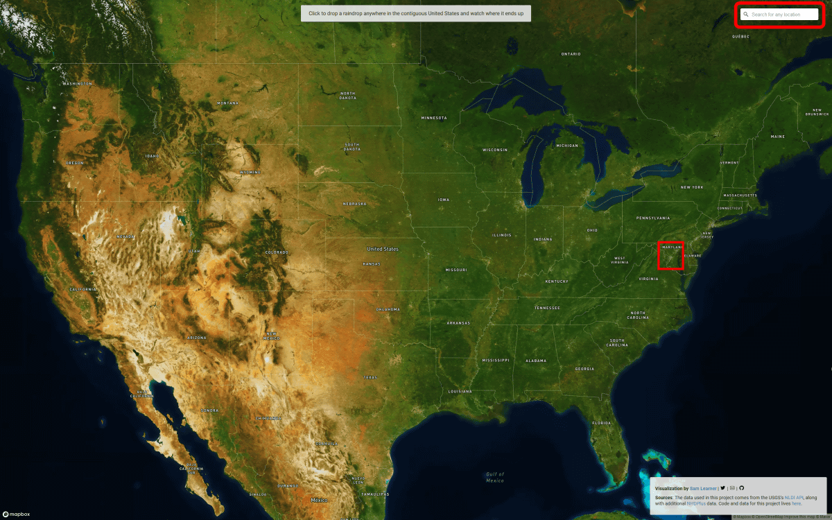
To use it, simply select the place you want to rain on the map and click it, or enter the place from the search box on the upper right and specify it directly. This time I clicked near Washington DC.
After loading for a while, the simulation will start. You can see the actual situation in the video below.
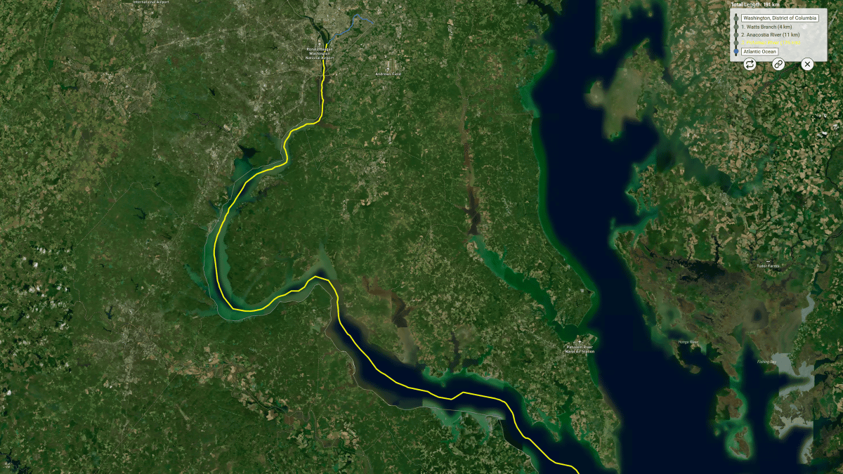
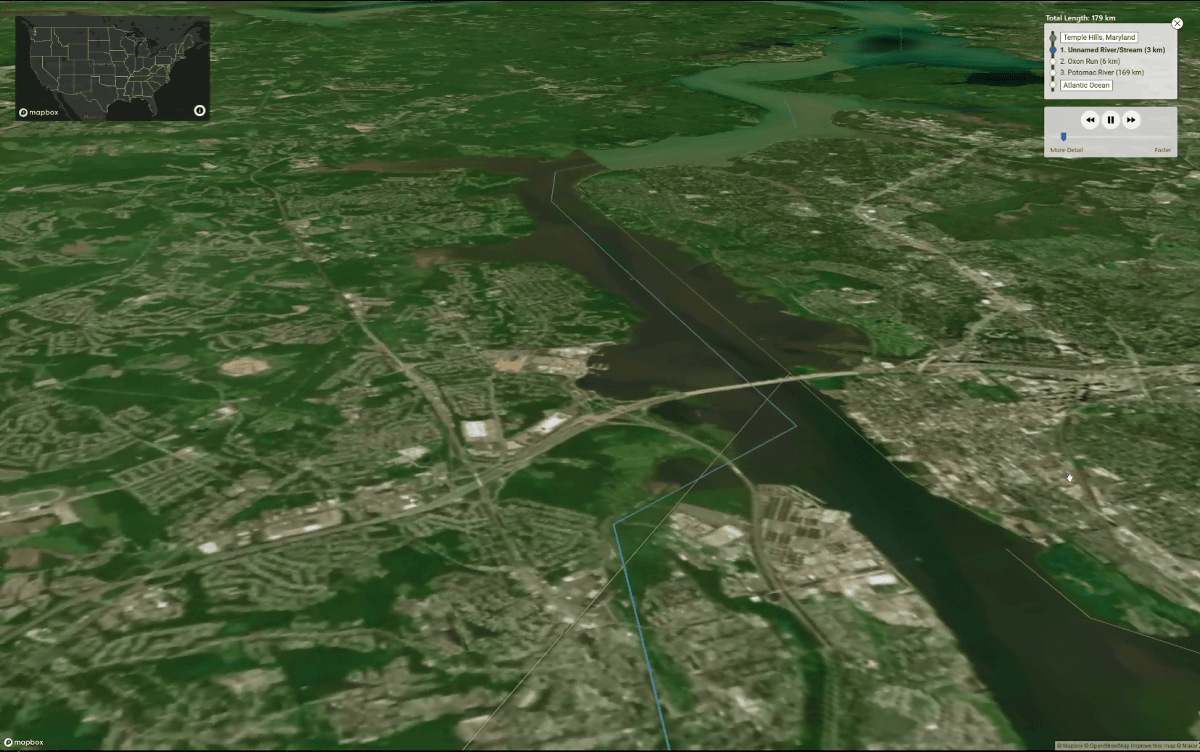
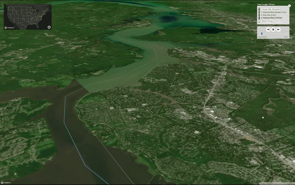
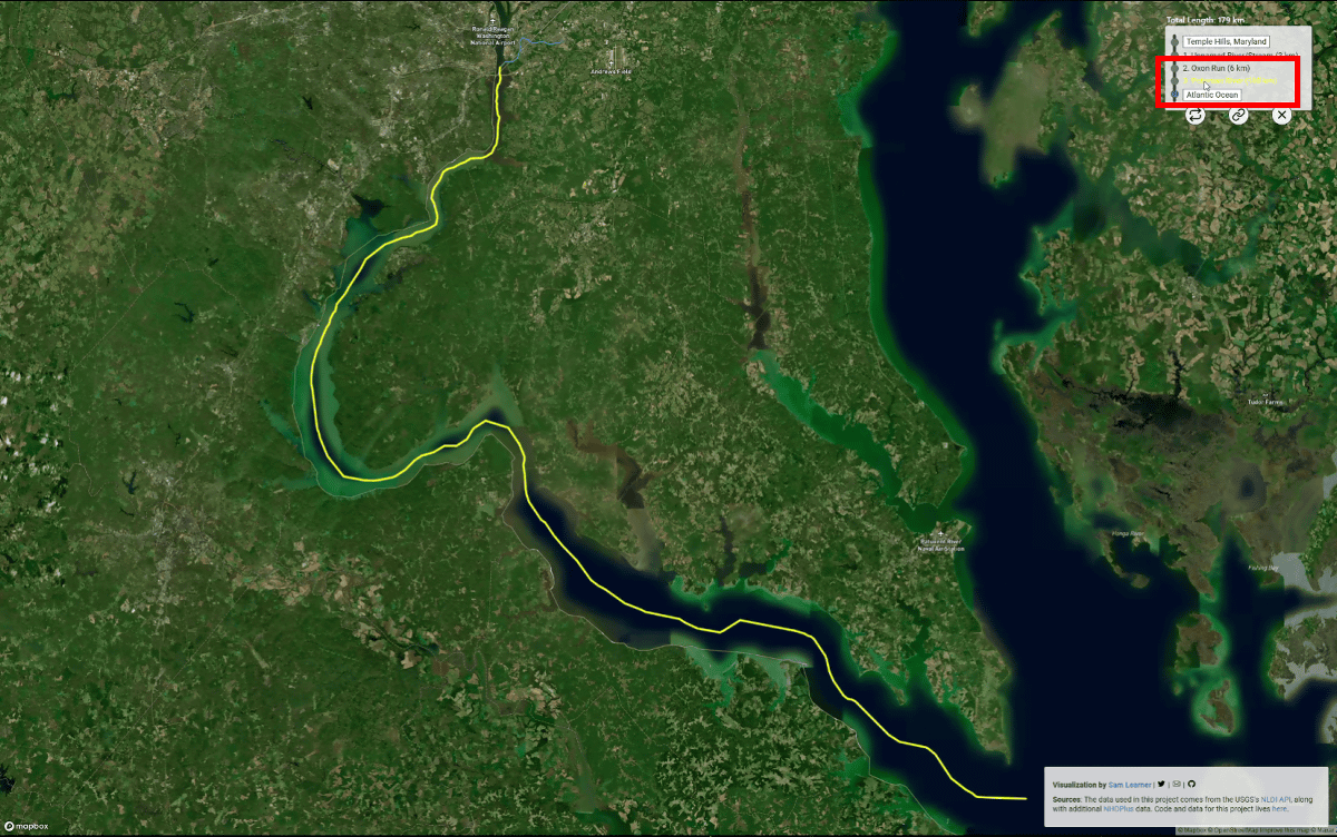
Rainfall near Washington, DC first passes 3km on the Unnamed River / Stream and 6km on the Oxon Run before entering the Potomac River.
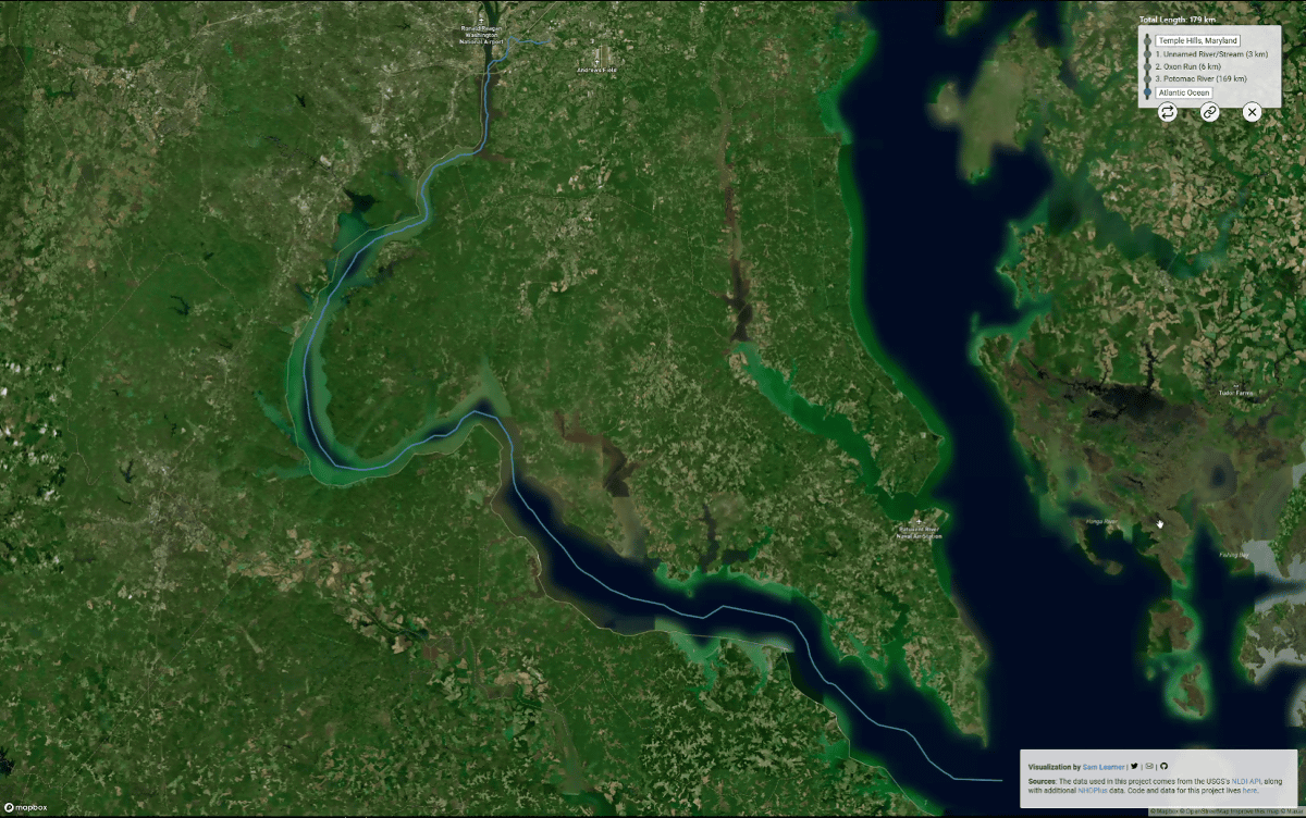
And if you continue to flow along the Potomac River for 169km ...
It arrived at the Chesapeake Bay.
During the simulation, you can pause the flow and change the speed of the simulation.
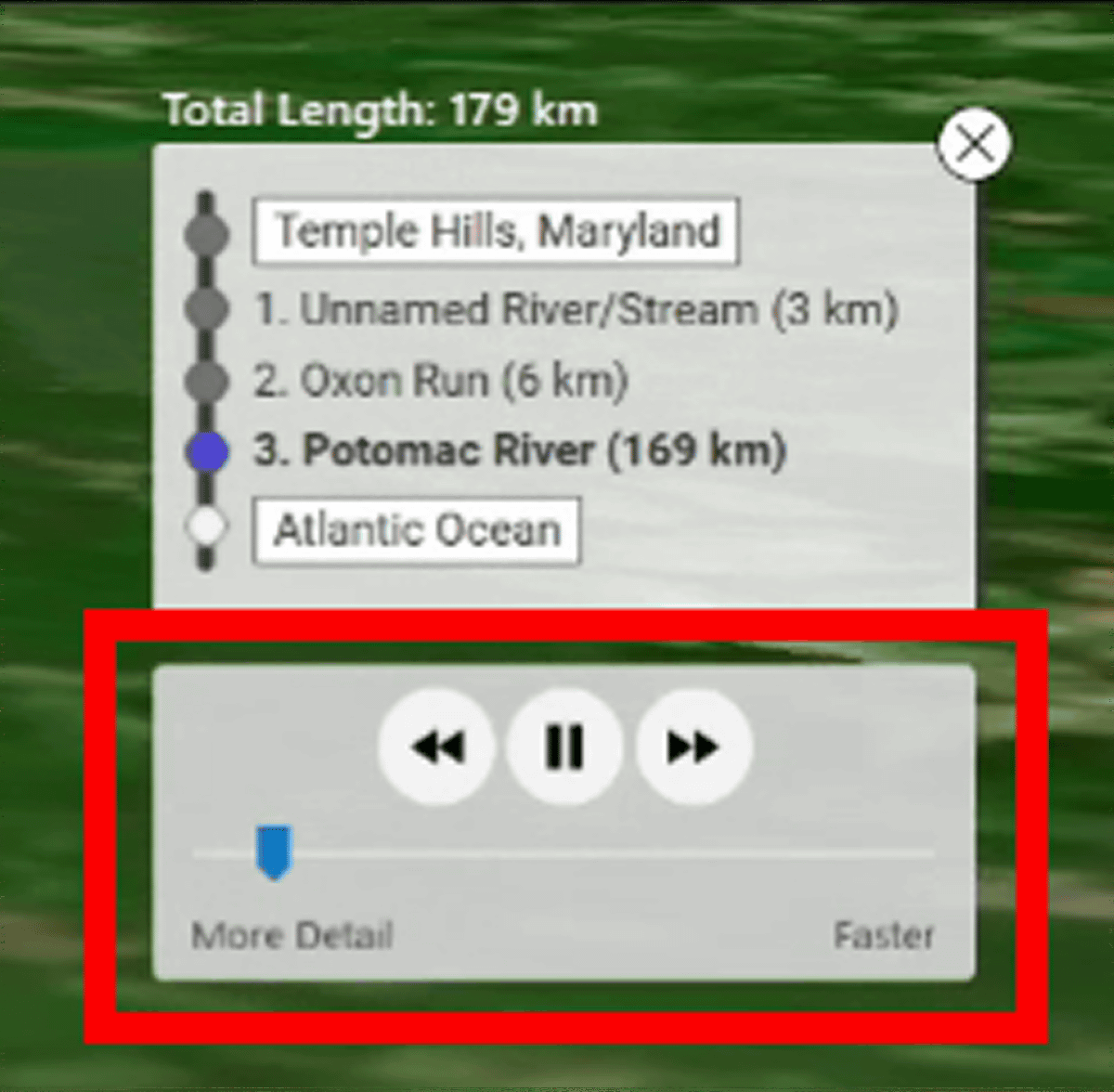
After the simulation is finished, you can highlight it by hovering over the name of the river.
Next, I tried it in West Virginia, which is a little inland.

You can see the simulation in the video below.
I tried to check the rain flow from West Virginia with the simulation 'River runner' that can check the rain flow --YouTube
River runner was an intellectually curious site where you can see the situation of 'what kind of route the rain actually takes', which is hard to imagine.
Related Posts:


in Video, Web Service, Review, Posted by log1p_kr