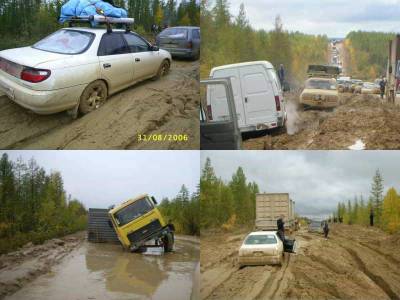
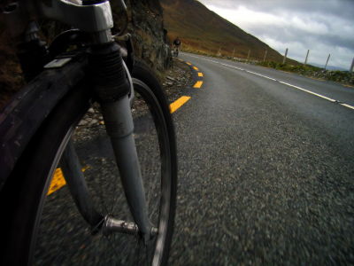
What difficulties do you encounter when you cross the African and Eurasian continents on foot?

Mankind has reached the summit of Everest, the dark sea bottom, and outer space. However, the feat of “walking across the land from foot to foot” has not been achieved.
What's the Longest Walk-able Distance on Earth?-YouTube
The rule to be considered this time is the rule of “walking the two most distant points on the earth only by walking”.
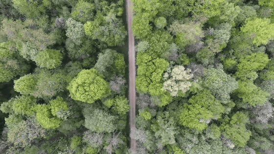
“Walking only” means that in addition to airplanes and cars, crossing the river by boat is NG.

Also, since Google Maps is used for route calculation, it is assumed that areas that cannot use Google Maps will not pass.

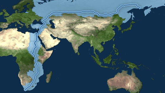
Based on the above rules, 'the two most distant points on the ground that can be reached on foot' will be
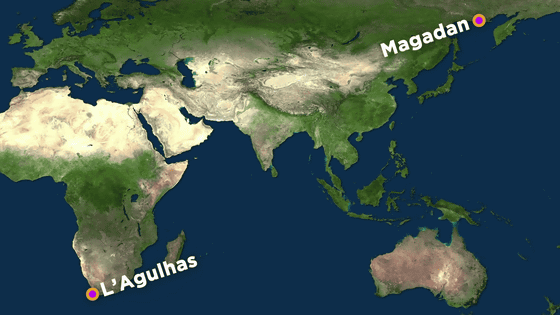
Converted to distance, it is 20,3068km.
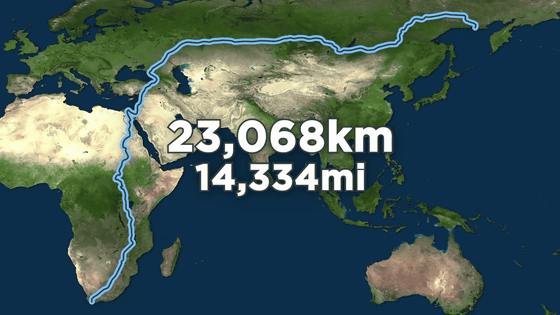
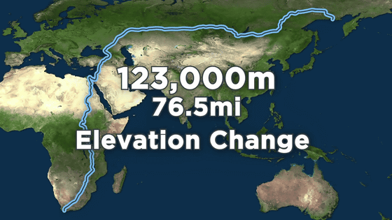
Since the road is not flat, there are ups and downs, so elevation changes are also important when considering walking. The total elevation change is 123,000m.
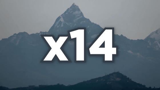
This elevation change is equivalent to 14 ups and downs of Everest.
In GoogleMap, the following image shows from the start point Agulhas to the goal point Magadan. The distance of the whole journey is 22,101km, because GoogleMap is set to 'use ferry in seas and lakes such as the Black Sea'.
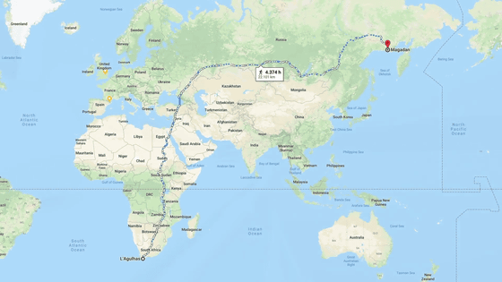
Therefore, the route with a total distance of 20,3068 km is manually corrected so that it does not pass through the sea or lake.
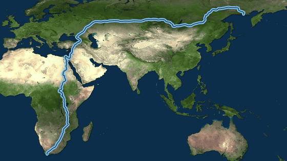
According to GoogleMap, it takes 4646 hours to break through the 20,306km route.
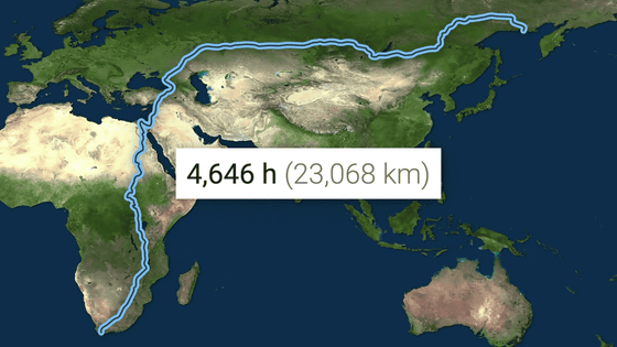
If you continue walking 24 hours a day, you can go through in 194 days.
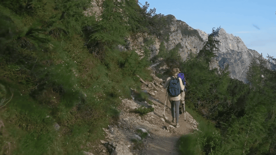
But of course, you can't keep walking for 194 days without sleep. If you walk a total of 20km for about 8 hours a day, the time taken to complete the trip is 1153 days. It takes more than 3 years.
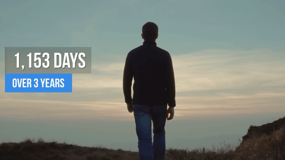
The problem is not just the period. There are various difficulties awaiting you on the road. South Africa, the starting point, is a danger zone
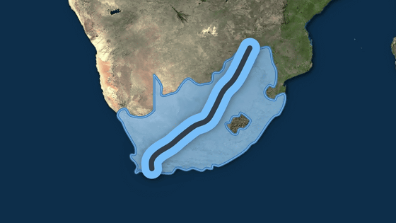
After passing through South Africa, Zimbabwe lives everywhere in the

Malawi ahead has the ninth highest malaria incidence in the world, and there is also a problem of illness.

When traveling north of Malawi, some of the neighboring Zambia also passes through, but Zambia is the sixth most common malaria in the world, and in any case the problem of malaria cannot be avoided.
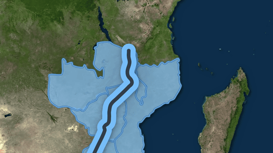
After passing through Tanzania after Malawi and Zambia, the country with the highest incidence of malaria in the world, Uganda, and malaria.
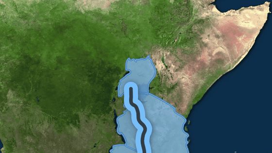
In addition to black mamba, Uganda contains dangerous animals such as gorillas and hippos.

The place beyond Uganda is also a super dangerous area. South Sudan is the 3rd worst country in the 2019 (PDF file)
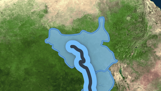
Next to South Sudan is the Sahara Desert in Egypt, where the temperature reaches 47 ° C in summer. There is no road on the road from South Sudan to
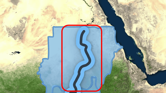
From Wadiharfa, Egypt, go north in the desert, avoiding the water route on
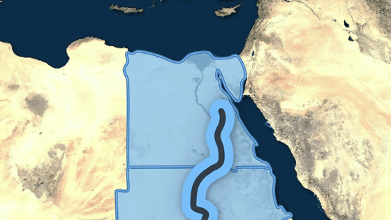
After traversing Egypt, the
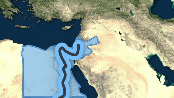
Israel's next Syria is also a difficult point. Syria is the worst country in the World Peace Index ranking of the Institute for Economic Peace. The
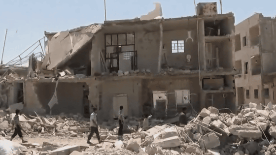
This route runs through Syria. According to the narration, 'Walking through Syria is a suicide act, but I wish you good luck.' Afghanistan, the lowest ranking in the World Peace Index, will not pass.
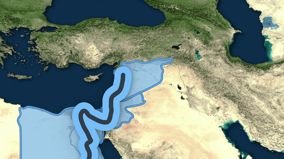
After passing Syria, Turkey and Georgia followed by a relatively safe country, and finally arrived at the last country, Russia.
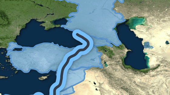
However, Russia, which is very long from east to west, is also difficult. In
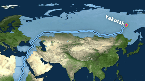
The average temperature in January is minus 39 degrees Celsius, the temperature without waiting for freezing death.

From Yakutsk to the goal of Magadan, there was once a large number of deaths due to forced labor by Stalin.
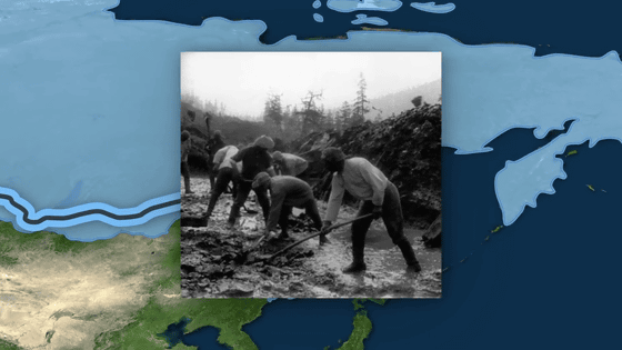
According to the movie, there was probably no one who took this route.
Related Posts:
in Video, Posted by darkhorse_log


