I tried a 4K aerial photograph of the southern country Tuvalu which is in danger of sinking / extinction with drone
With sea level rise accompanying global warming, it is said that the country " Tuvalu " with an average sea level of 2 meters is in danger of annihilation. I tried the aerial photograph of Tuvalu 's " Funafuti island " where residents' living spaces are scattered year by year using drone.
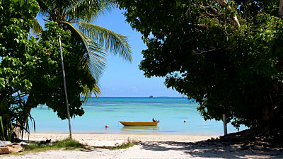
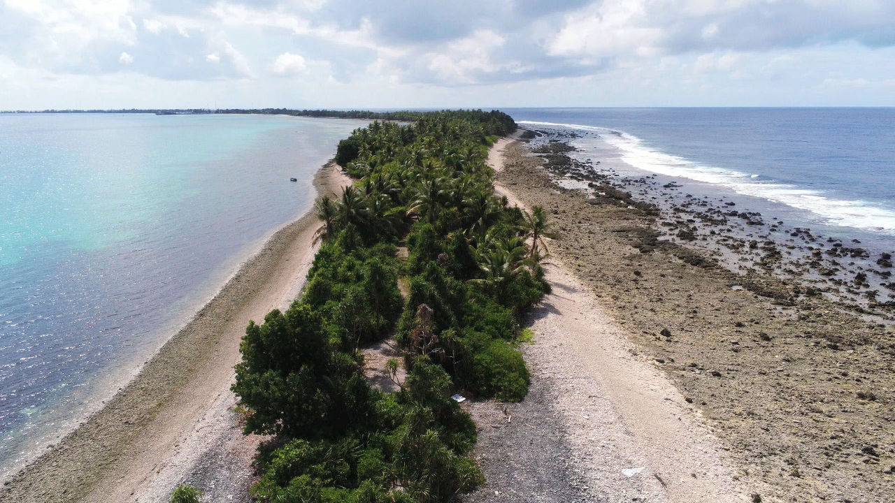
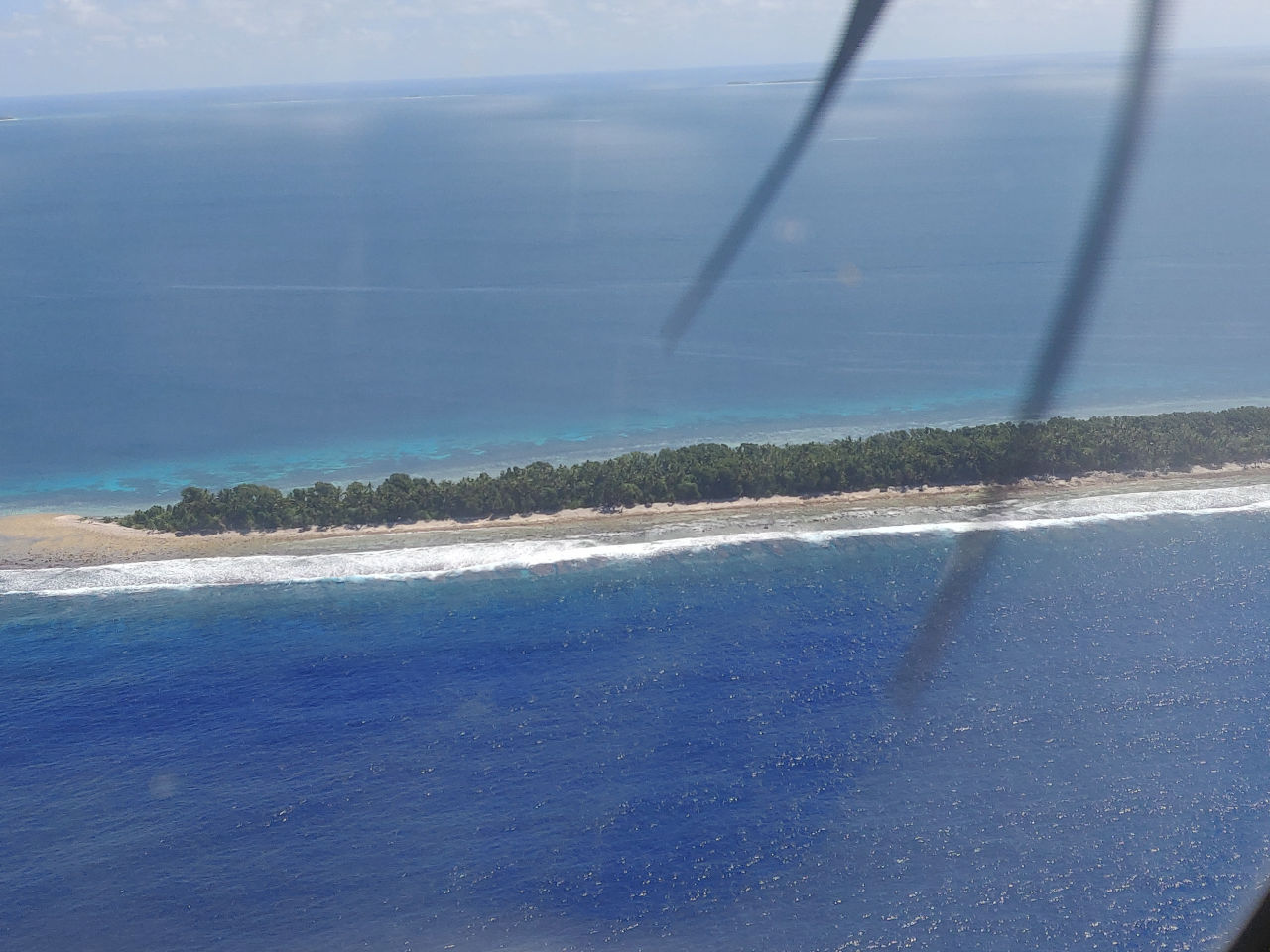
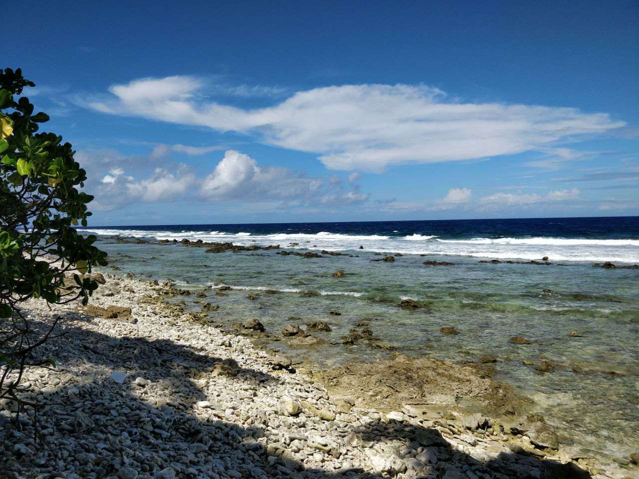
When you see Tuvalu from an airplane, you can see well that it is an elongated topography surrounded by coral.
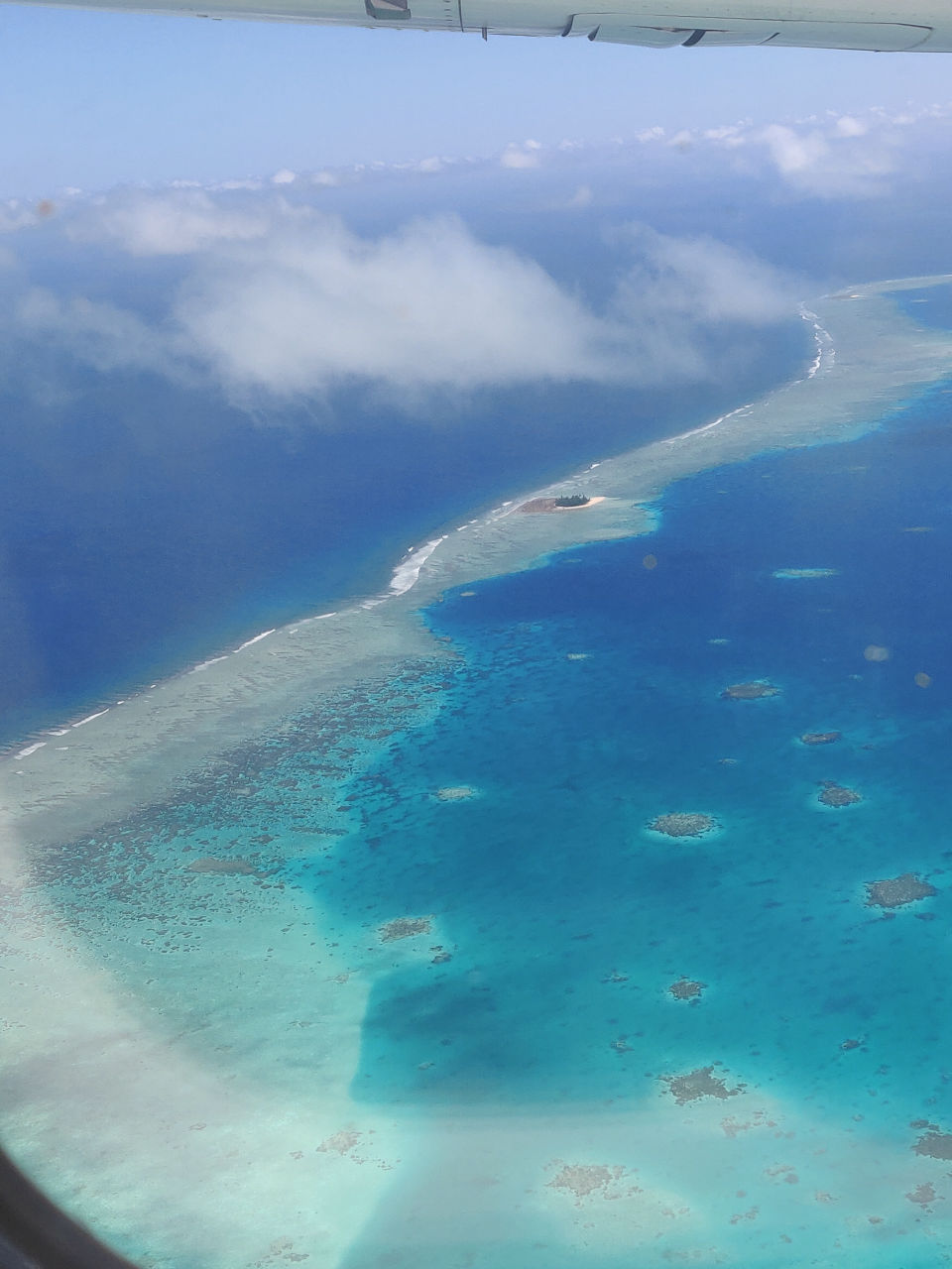
Looking over Tuvalu from the sky, what is at the tip of the island? I was worried a lot.
◆ What is the southernmost point of Funafuti?
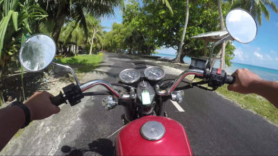
So, we aimed at the southernmost point of Funafuti with the capital city of Tuvalu with a motorcycle. The state of the southernmost tip of Funafuti is confirmed after 6 minutes of the following movie.
【2.7K】 Funafuti island in Tuvalu: Touring by a motorcycle 【GoPro】 - YouTube
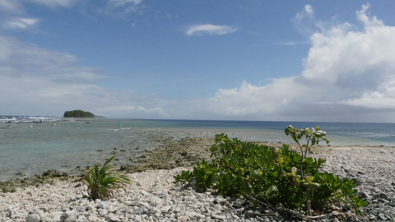
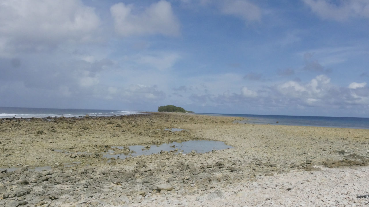
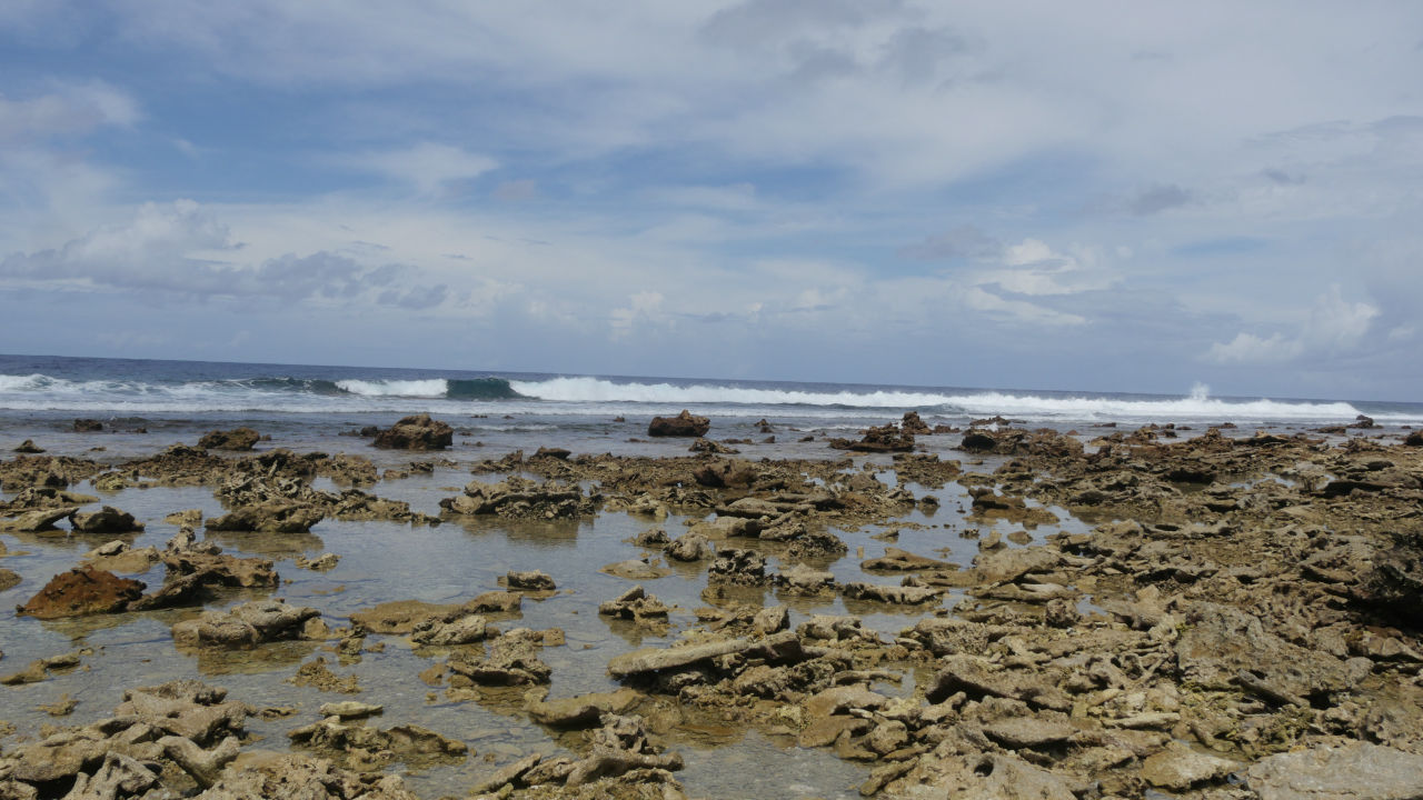
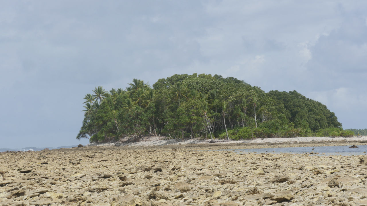
Uninhabited island seen from the southernmost tip. At low tide it seems that several uninhabited islands in the south and Funafuti island will continue to land.
I tried photographing around the periphery from the southernmost tip.
360 degree view from the southernmost tip of Tuvalu / Funafuti is like this - YouTube
The west side of Tuvalu is a very calm sea.
On the east side, the waves are high and rough sea. I have a contrasting face in the east and west. It turned out that the Tuvalu islands of long terrain in the north and south separated the East and the West seas.
When I arrived at the low tide again the day, it certainly became inundated with the other uninhabited island. The drones that the wind was too strong and could not fly the previous day are likely to fly today.
Using the portable drones " ANAFI ", you can see how you looked around 360 degrees over the southernmost tip of Tuvalu / Funafuti in the following movie.
【4K】 South Point of Funafuti Island in Tuvalu: Shooting by ANAFI 4K Drone - YouTube
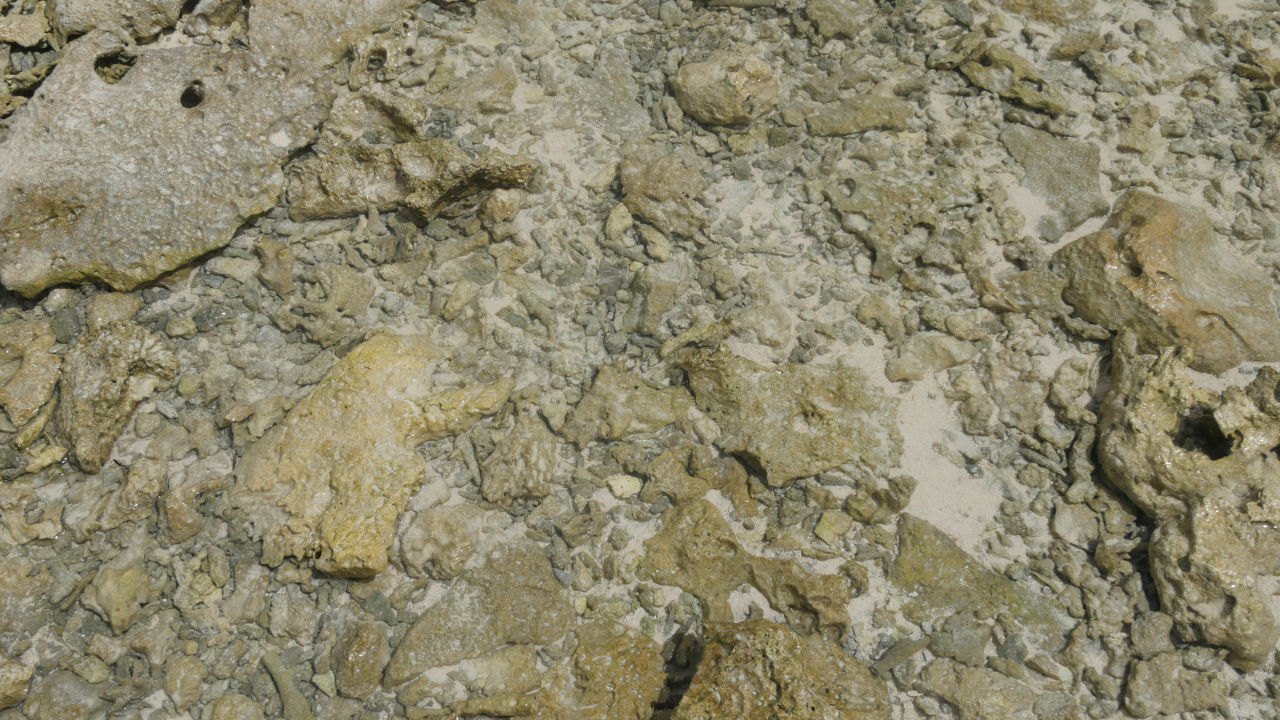
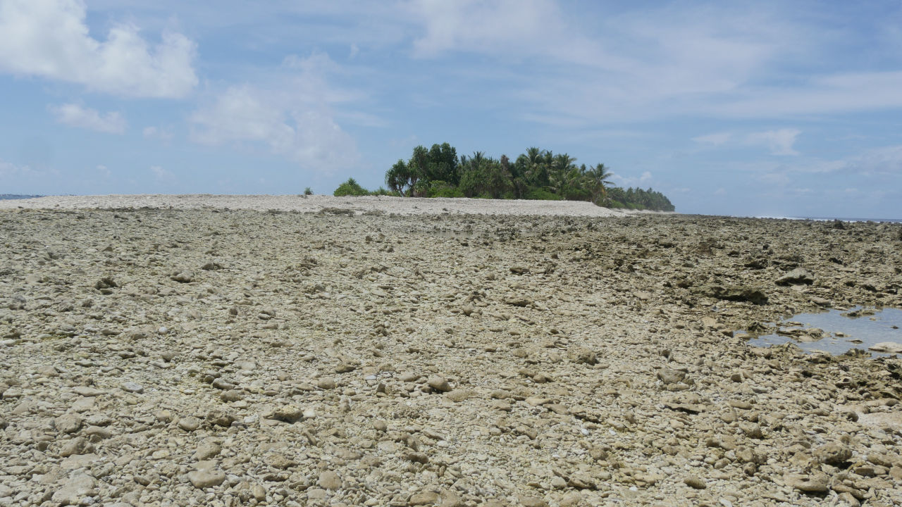
Rock rocks that landed in the state were dangerously sharp at beach sandals.

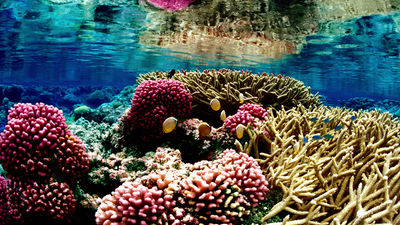
Some of the water remained, and the fish left behind were swimming.
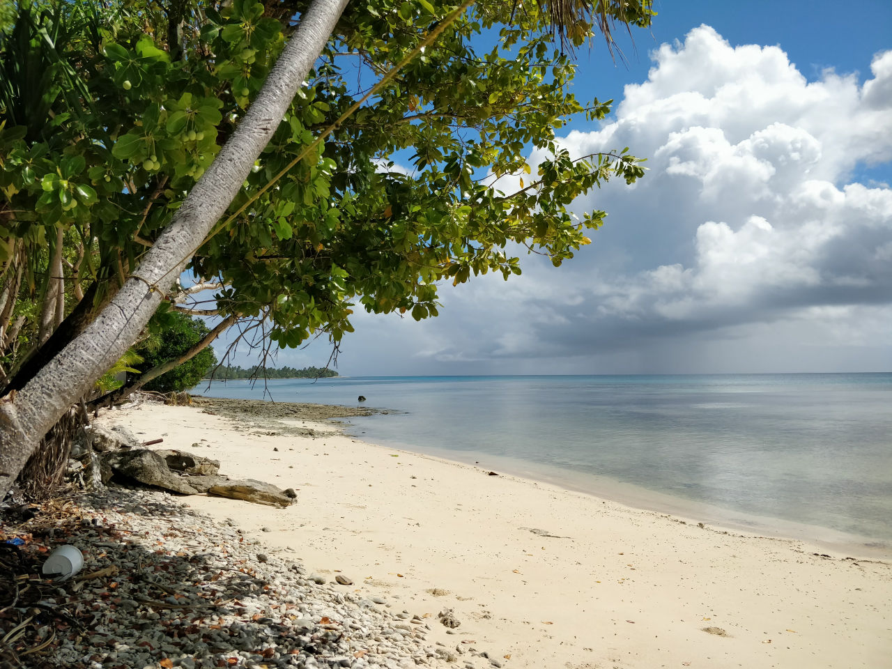
The urge which is getting warmed up, "What about that uninhabited island ...?" For the time being, I decided to walk for about 15 minutes and tried to uninhabited island.
On the way walking, the sound of the waves from the east that grows without heart.
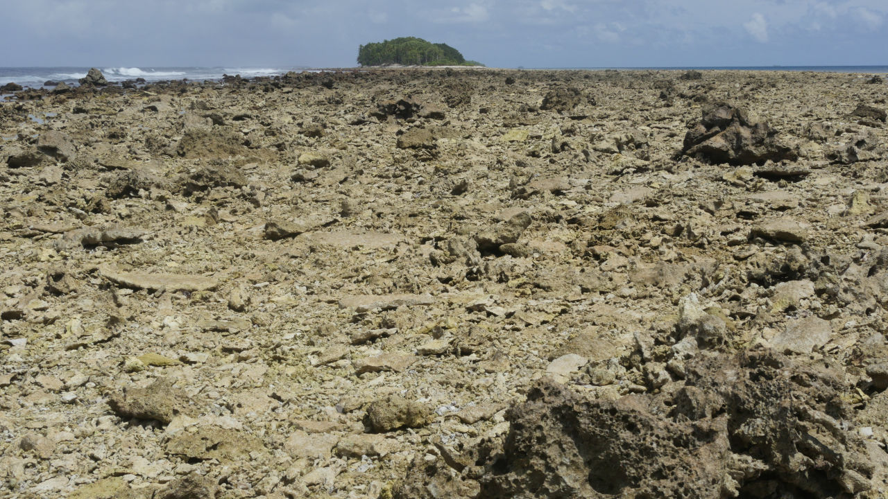
Uninhabited island far beyond imagination. I can not walk anywhere as I walk.
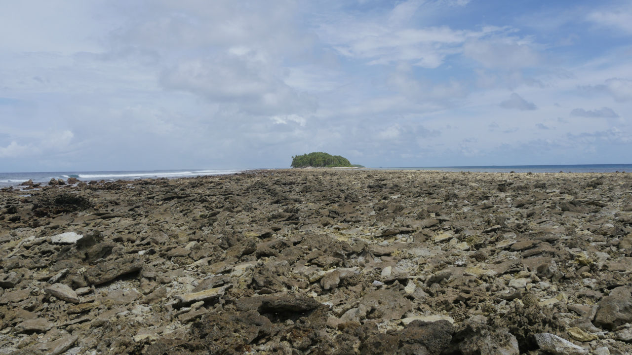
Looking back on the way I came, it looks like this. It has not reached half yet.
Check the position on the Google map where you downloaded offline data. I will walk another 15 minutes.

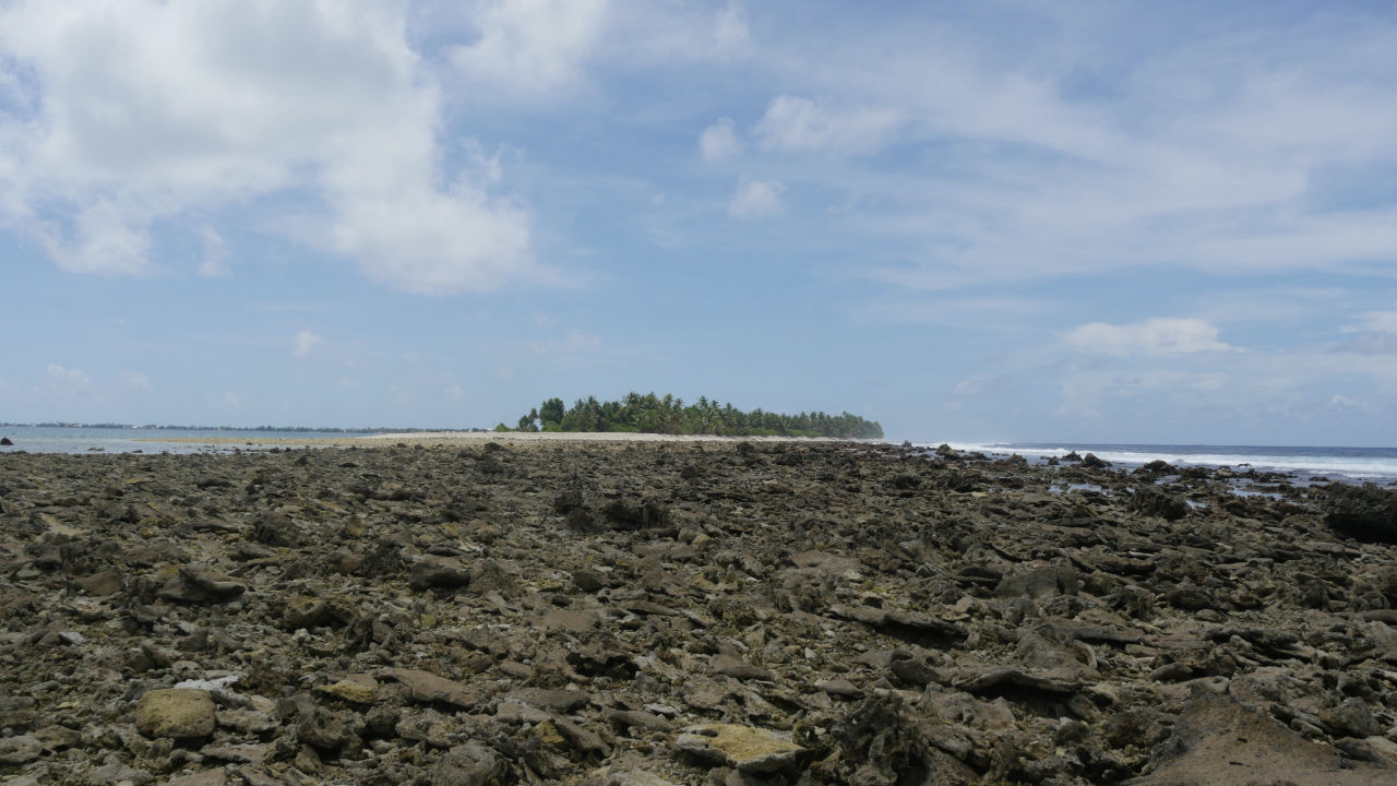
The foothold is bad and I can not go beyond what I thought.
It is necessary to return until the tide is full, but it should take more time on your way back on the way. I will go further while looking back many times.

Check Google Maps. It is far away uninhabited island that GPS is crazy.

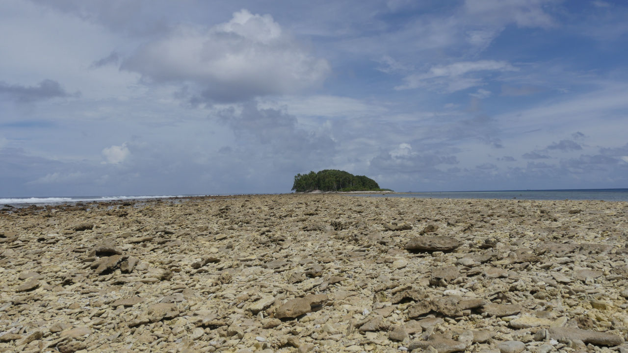
I walked for about 40 minutes and succeeded to firmly confirm the uninhabited island with the naked eye. At this point it was unknown whether landing to uninhabited islands was permitted, so we decided to turn back here.
Although it took time to go as expected as expected, I was able to return home safely to Funafuti island. According to Mr. Katsuhiko Matsuura of Tuvalu · Overview , there are also local Tsubaru who go to the uninhabited island three ahead at low tide and return home.
◆ What is the northernmost tip of Funafuti?
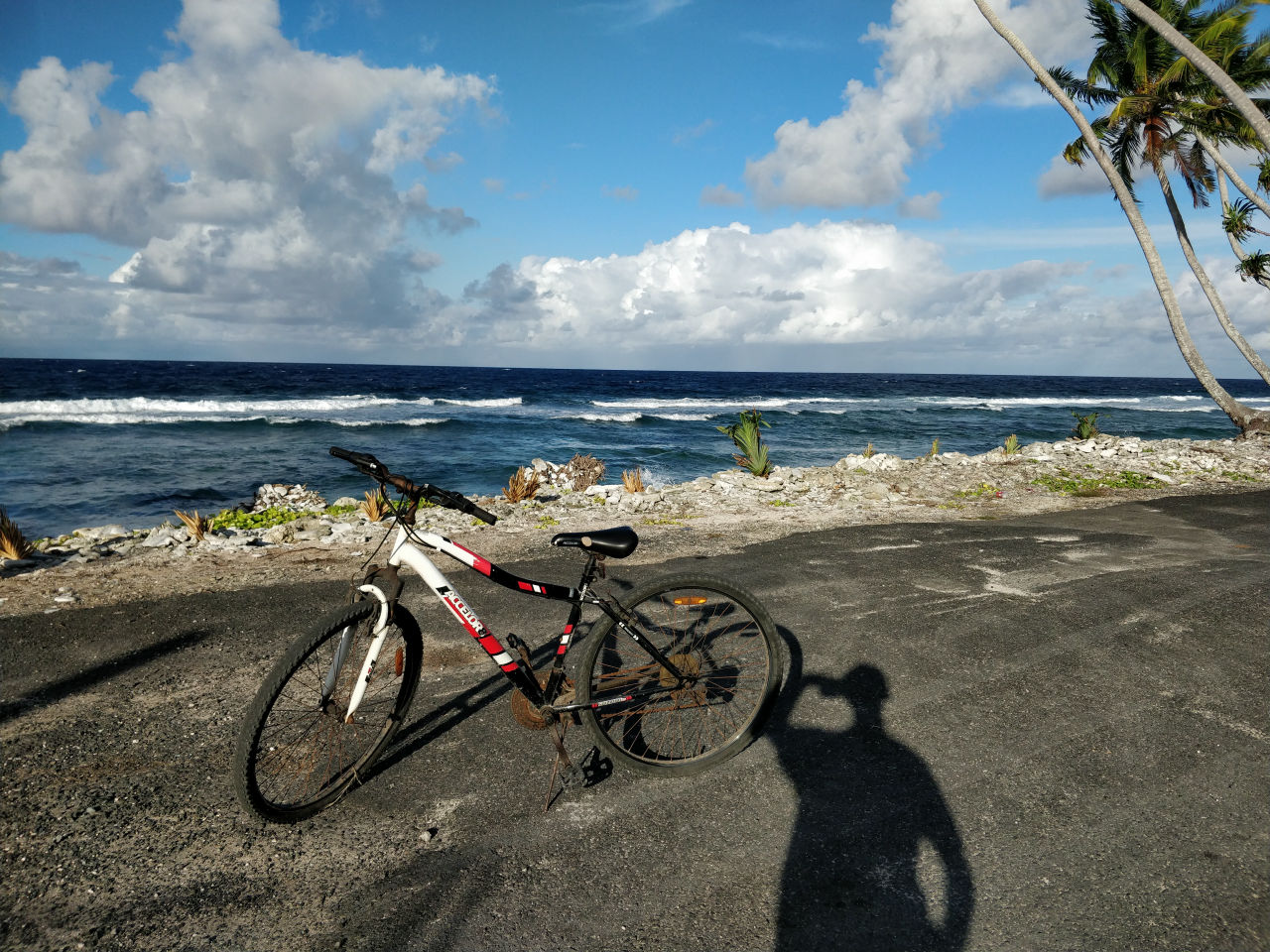
Where I saw the southernmost, then to the northern end. I went by mountain bike.
On the way there was a square, so I skipped the drone and shot the state of the narrow island up to just tens of meters.
【4K】 I tried to take aerial view of northern part of Tuvalu / Funafuti Island in the danger of annihilation - YouTube
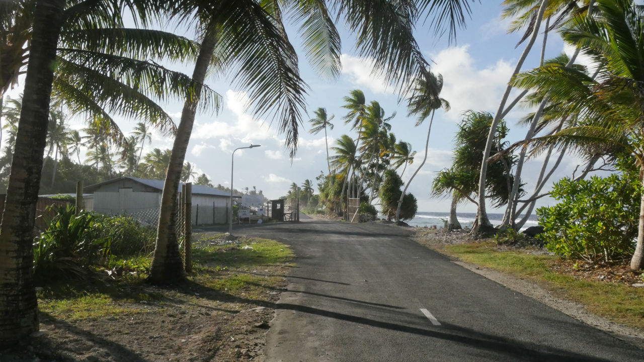
At the end of the main road, the main road has come to a dead end as it goes northward from Funafuti and Fongafaray Island.
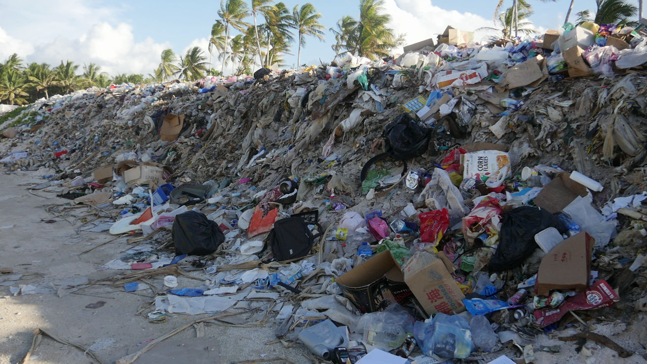
At the northern end is a garbage collection site.

Garbage was stacked high enough to not be visible when entering inside.
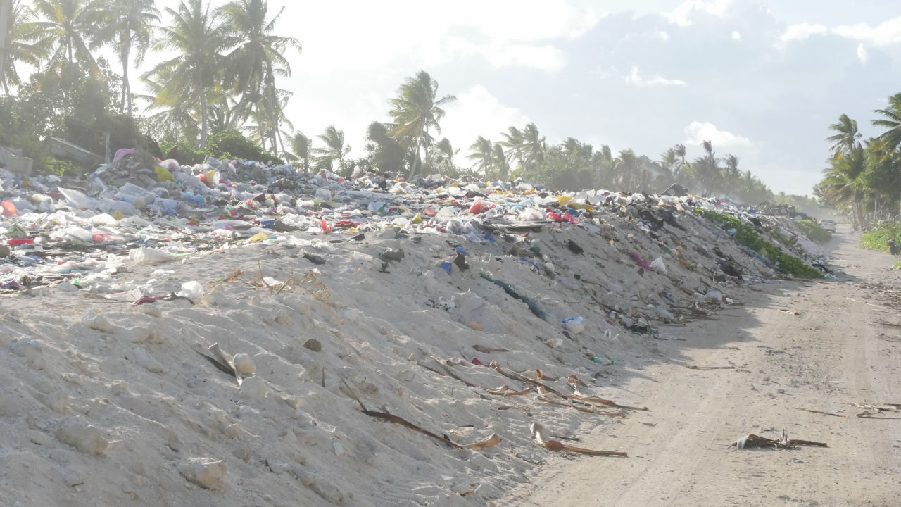
Because Tuvalu is an island made of coral, we can not dig a hole in the ground and fill the garbage. And because there is no facility to handle garbage, it is also impossible to recycle. That is why every garbage is brought to this garbage collection site and only accumulated high.
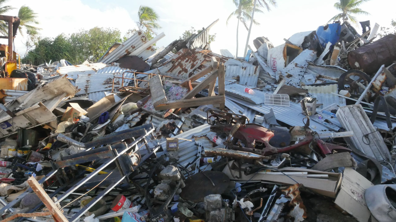
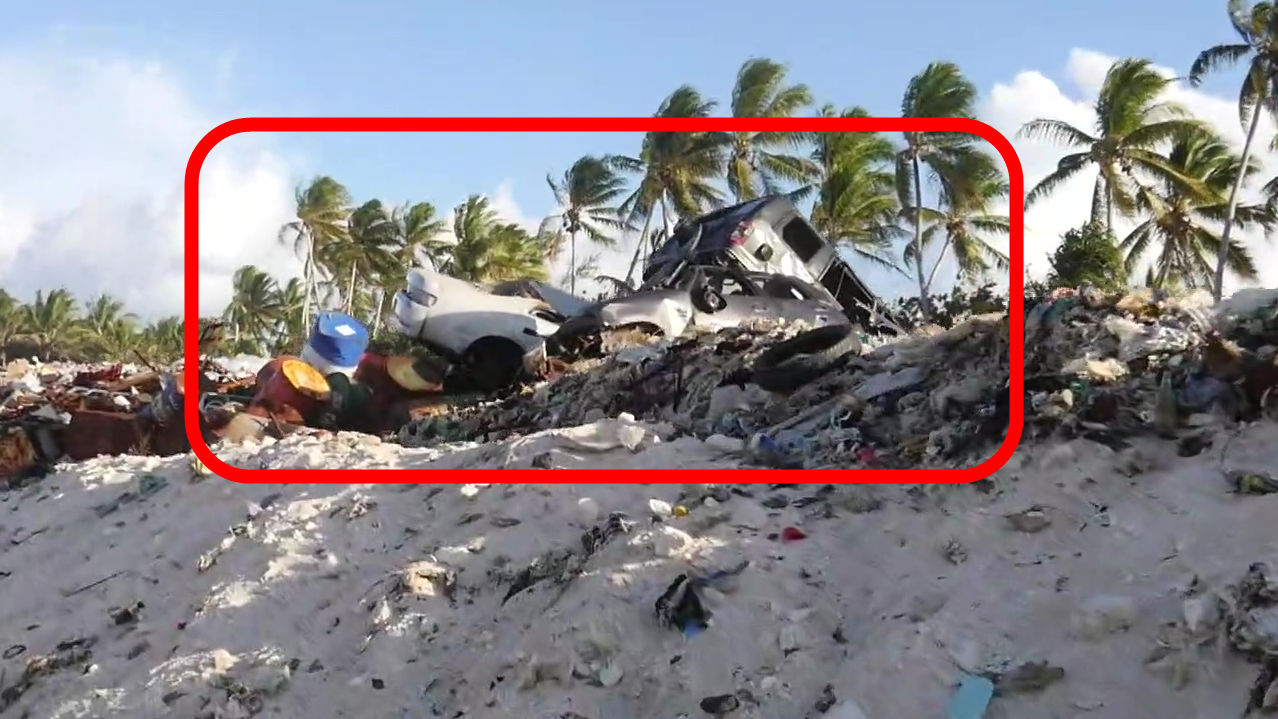
Some cars were also piled up.
A person working at a garbage collection site. I arrived just before 17 o'clock and it is time for the garbage collection site to close again.
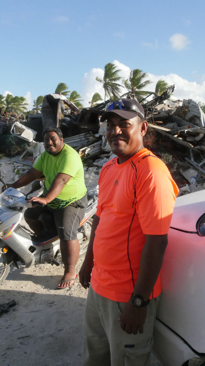
While walking alongside the garbage mountain with the staff, I turned back.
A state of the garbage dumpster at the northern tip of Tuvalu / Funafuti - YouTube
In Tuvalu, where the danger of sunset by global warming is complained, the problem of garbage is left as a big problem as a mountain.
· Bonus : Although it is Funafuti island which saw a sight that has never been seen at the northern end and the northern end, on the runway of Fuenafuti International Airport which is the only international airport of Tuvalu, the time zone during which the plane does not depart and arrive is rugby or football It will become a crowded playground area by those who do.
【4K】 Playing rugby on runway @ Funafuti International Airport, Tuvalu: Shooting from ANAFI 4K Drone - YouTube
Related Posts: