"Geograph British Isles" which can use landmark photographs of more than 1 million pieces of Britain Islands for free
I took pictures of Britain Islands with Great Britain and Ireland from one end and gathered landscape photos every 1 square kilometerGeograph British Isles".
The photograph began shooting in 2005, and now more than 1 million pictures of more than 7000 volunteers have been released under Creative Commons, making it possible to enjoy beautiful scenery.
Details are as below.
Geograph British Isles
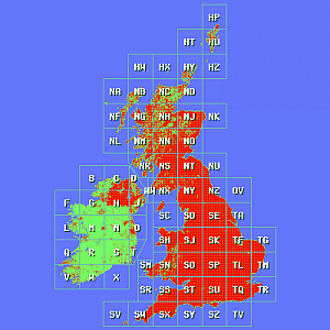
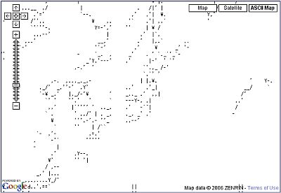
The image ismapSearchable from. The red part is where there are pictures.
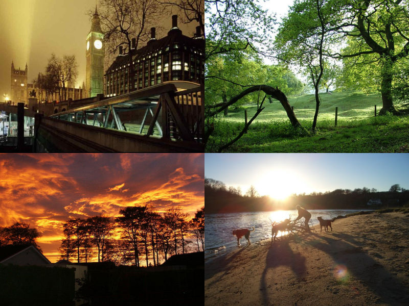
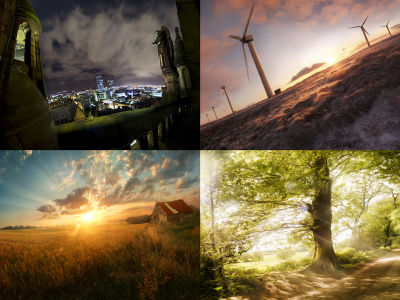
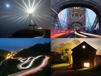
The following is a part of the published image. Various landscapes can be seen from the city to the countryside.
A sunset glow shot in November.
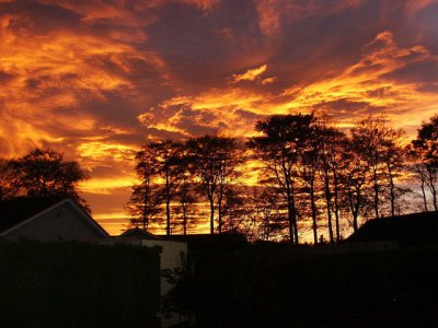
Photo by Keith Grinste
Green is spreading on one side.
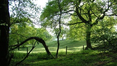
Photo by Stephen Burton
A corner of Piccadilly Circus.
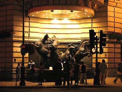
Photo by Pam Brophy
Concourse of subway.
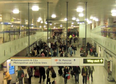
Photo by Kevin Gordon
The end of the tram.
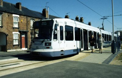
Photo by Stephen McKay
A night view with Big Ben emerging.
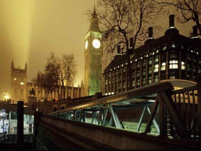
Photo by Christine Matthews
A river with an unusual bridge.
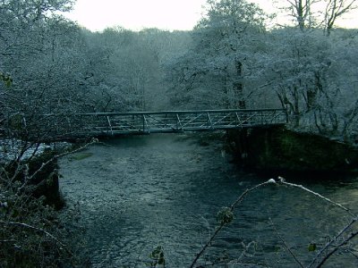
Photo by Stephen Burton
Wood sheet street.
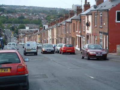
Photo by Richard Copley
A landscape with an overpass.
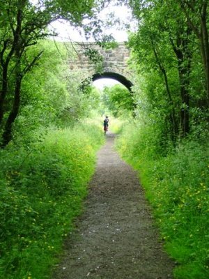
Photo by Mick Garratt
Pastures where fantastic light gets.
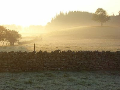
Photo by Andrew Smith
Agricultural land with sheep.
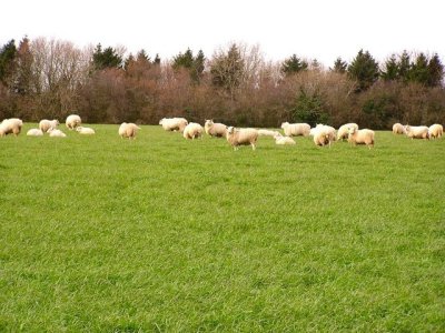
Photo by Stuart Wilding
Hensol Castle.
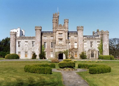
Photo by Mark Hopkins
Exmoor's strange stone
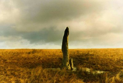
Photo by Dave Sellers
The bank of the Tei River.
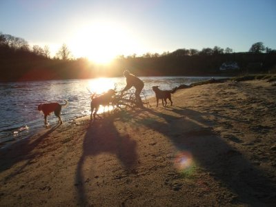
Photo by Scot Tares
Related Posts:

in Note, Web Service, Posted by darkhorse_log