Is the Google Earth database far beyond "3 petabytes"?
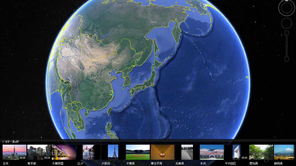
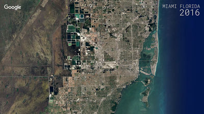
The free virtual globe application released in June 2005 is "Google Earth"is. The same application that can handle various contents such as satellite photos, maps, terrain, 3D display of buildings, etc. To realize this, Google Earth Blog calculates how much data is saved in the database doing.
How big is the Google Earth database? - Google Earth Blog
http://www.gearthblog.com/blog/archives/2016/04/big-google-earth-database.html
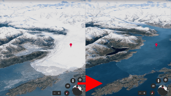
· 3D image: 1024 TB
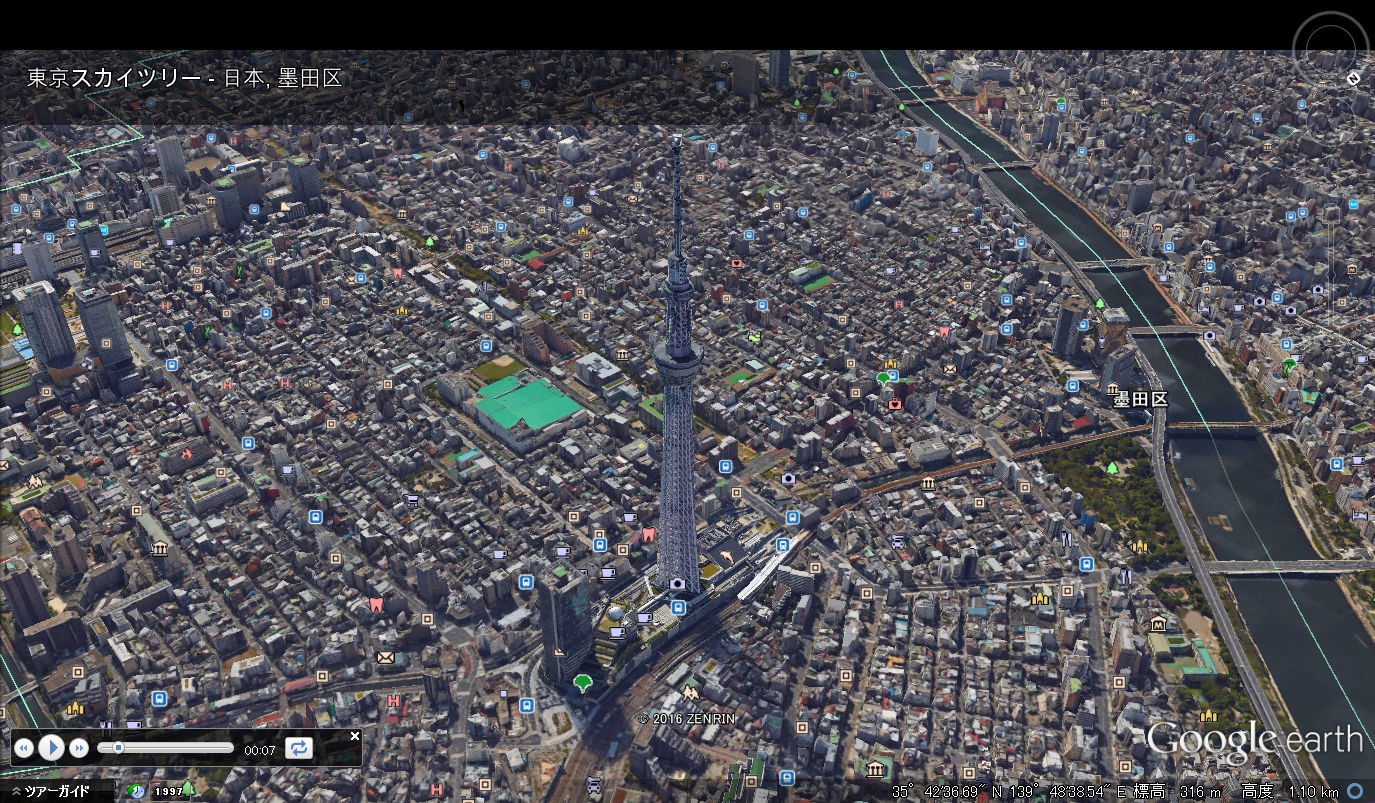
The area covered by the 3D image in the current Google Earth is about 524,000 square kilometers in terms of actual area. Expanding the screen and estimating the amount of 3D image data per square kilometer from the cache seems to be about 2 GB. Based on this, when calculating the capacity of the whole 3D image, it becomes about 1024 TB.
- Aerial photograph displayed by default: 179 TB
Regarding the area of the countryList of WikipediaIt is calculated with reference to.
Aerial photography covers most areas of the Americas, and its area is about 7.66 million square kilometers. Subsequently, European countries covered about 50% of Portuguese, Spain, Italy, France, UK, Germany, the Netherlands, the Czech Republic, Austria, Montenegro, Greece, Denmark, Switzerland and Belgium with aerial photographs. Japan 's aerial photograph coverage area is roughly 50%, and it is said that all these together will be 1.5 million square kilometers. And the area of the aerial photograph cover in the remaining areas is about one fifth of the aerial photograph coverage area in the USA.
In addition, the aerial photograph is said to be about 2 GB of data capacity per 100 parallel kilometers. When calculating the total capacity of the aerial photograph based on these, it becomes 179 TB.
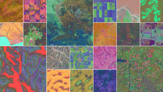
· Satellite picture: 196 TB
About half of the continent of the world except for Antarctica is covered with high resolution satellite photograph. The area covered by this "high resolution satellite picture" is 63,638,000 square kilometers, which is about 0.3 GB per 100 square kilometers. On the other hand, low resolution satellite photography requires only 18 MB of data capacity per 100 square kilometers.
When calculating the data amount of satellite photographs of each resolution from these data, the high resolution version is 186 TB and the low resolution version is 10 TB. The total is 196 TB.
- Pictures used in the past: 1618 TB
The amount of this data is the most difficult to estimate. As the aerial photographs are updated on average every 6 times in the Americas, we can guess that there are 6 past photo data for the same area. Then, since the data capacity of 766 million square kilometers (aerial photograph cover area of the Americas) is 150 TB, six times this is the total amount of past data, which is about 900 TB by simple calculation.
Aerial photographs other than the Americas have been updated four times, and based on this, the past aerial photograph data of Japan and Europe is calculated to be 118 TB. As other high-resolution satellite pictures are updated four times in other areas, there will be 527 TB in total in the past data that has not been used already. Furthermore, since 1% of the land area of the world updates high resolution satellite photos over 20 times, the past data of these areas totaled about 75 TB.
And if you sum them all, you can guess that the total amount of data used in the past is 1618 TB.
ByNiek Sprakel
· The total data size is 3 petabytes
Total of all the data calculated so far is 3017 TB (about 3 petabytes). Breakdown of data is as follows.

Even in 2006 when Google Earth just startedGoogle Earth Blog is a similar guessThe estimated data volume at that time was 150 TB in total. It is an amazing point that the amount of data stored in the database in just 10 years has expanded more than 20 times.
In addition, the Google Earth Blog does not accurately estimate the total amount of "photos used in the past" and does not take into account any data such as texts appearing in the application, so the estimated data amount is accurate It is said that it is not. Also, we are completely ignoring the amount of data of old type 3D photographs, and if we include them, we are supposed to be a huge amount of data.
Related Posts:


in Software, Web Service, Posted by logu_ii