A navigation map has been devised that displays the city in a way similar to the folding city in the movie 'Inception.'
In Christopher Nolan's film '
Orbify — Next-Generation Navigation Visualization
https://www.orbify.eu/
Orbify Demo 2 - v72
https://www.orbify.eu/demo
Orbify points out that car navigation systems have remained largely unchanged for the past 20 years, with users constantly switching between '3D view,' '2D overhead view,' and 'ground view.'
Each display method has its advantages: a 3D view adds depth to the screen and makes it easier to see the overall picture of the direction of travel, while a 2D overhead view makes it easier to see your relative current location in a wide space and the route you're about to take. However, Orbify points out that each time you switch between these modes, you lose spatial context and your sense of direction.
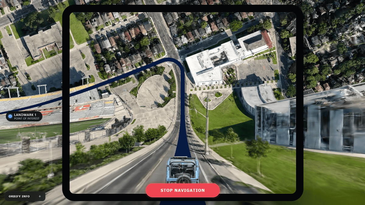
Orbify, using a patent-pending image processing system, overlaid a 3D map model onto a curved surface, creating a 2D map that simultaneously incorporates street-level perspective and overhead views. This map has been noted for resembling the scene in the movie 'Inception' where the other side of the city flips up and folds up.
The scene in the movie 'Inception' where the other side of the city is turned upside down can be seen in the following trailer.
Special trailer for the movie 'Inception' - YouTube
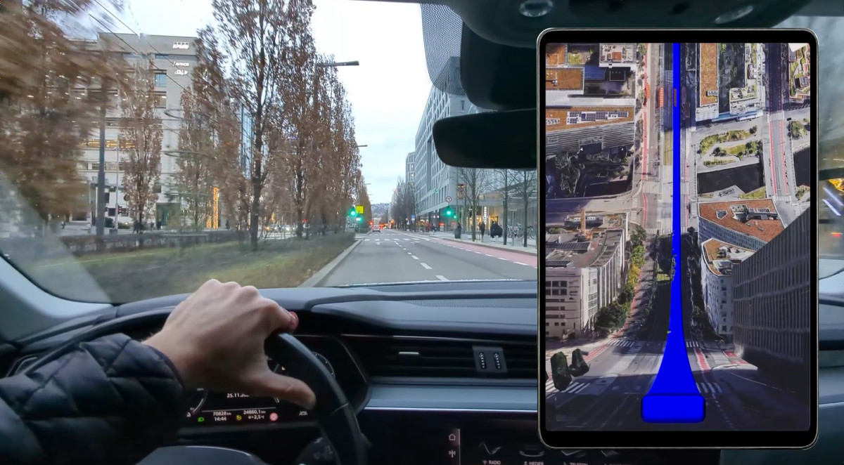
Here's what the demo video looks like.
Typically, in an overhead navigation map, your current location and your distant destination appear the same, as shown below.
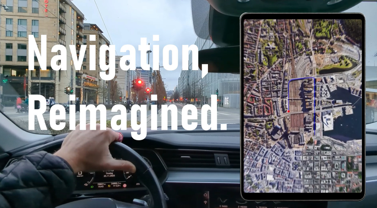
However, Orbify devised a method of folding a map and overlaying a 3D map model onto it.
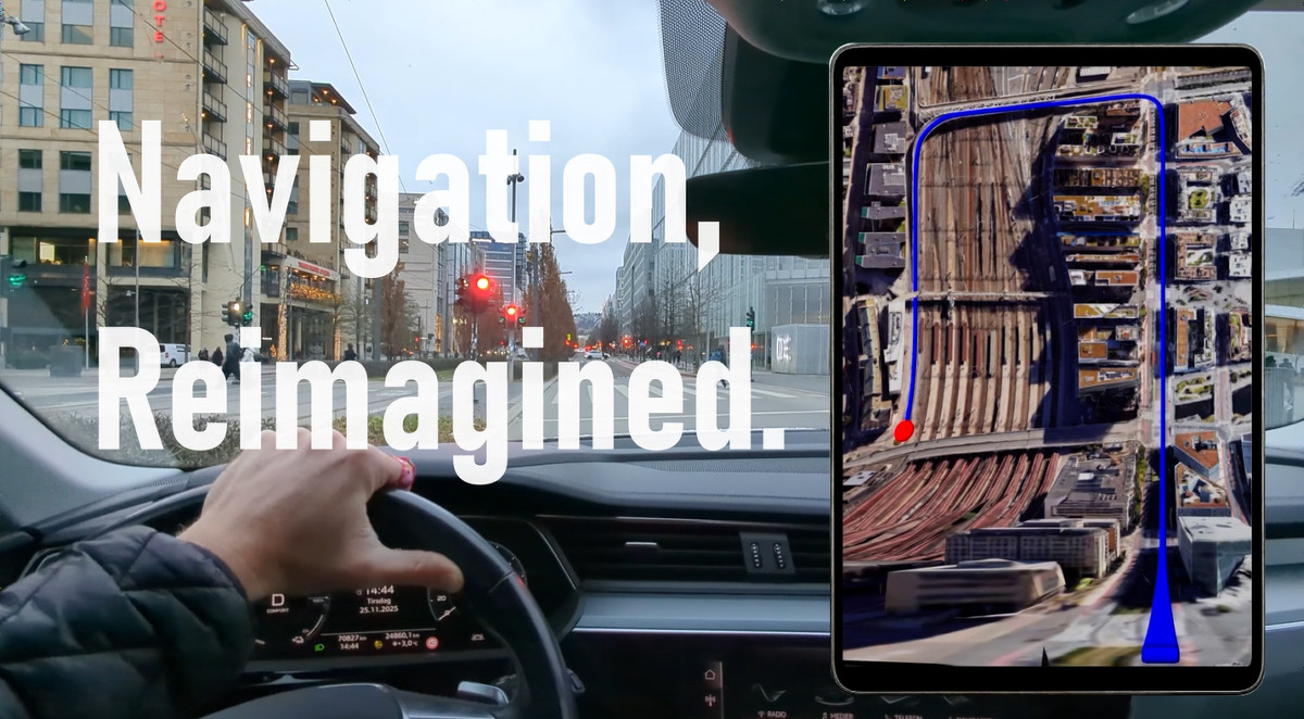
This allows you to understand the situation in the direction of travel, just like with a 3D map or ground view, while seamlessly viewing the overall picture from a bird's-eye perspective. This means you can simultaneously obtain information at the road level you are currently traveling on, as well as information about the route, waypoints, and destination you plan to travel.
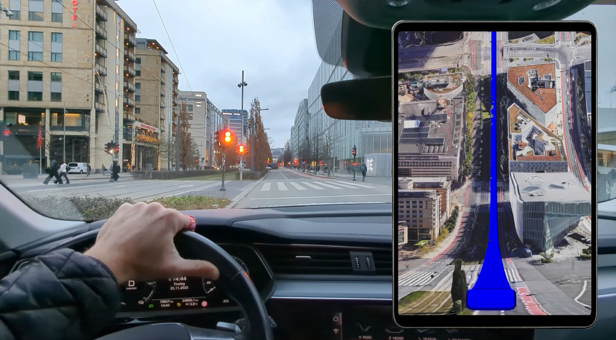
Orbify's system receives location data in real time and continuously updates a 2D image of a curved surface centered on the user.
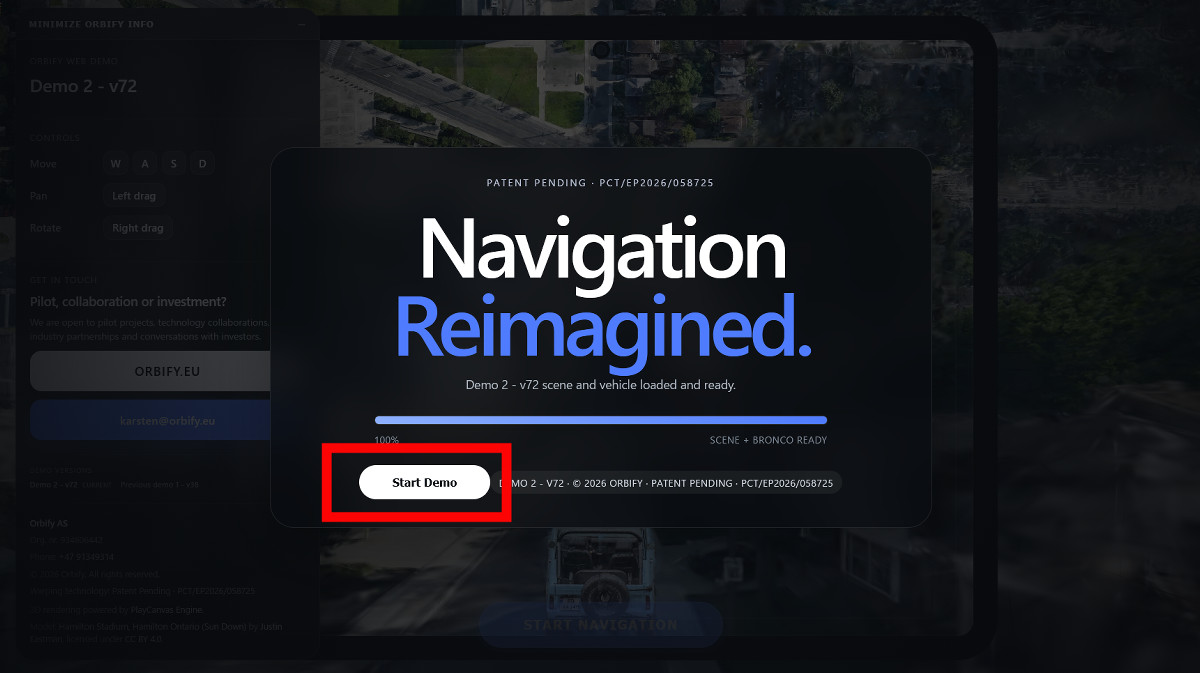
You can see a demo screen of the navigation map designed by Orbify by visiting their official demo page . Once it has finished loading, click 'Start Demo'.
A demo screen of the navigation map was displayed.
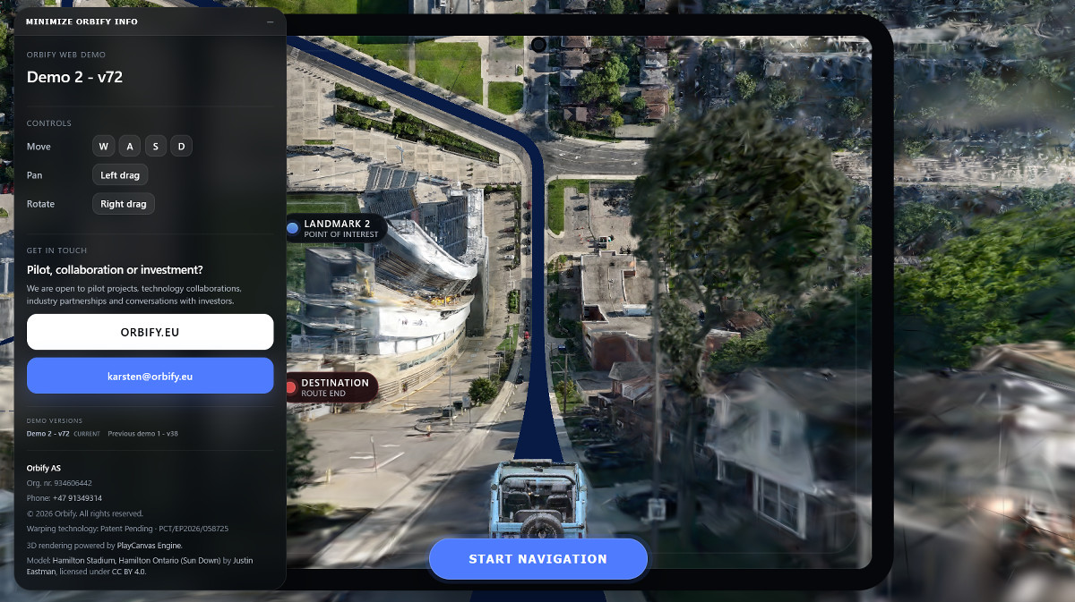
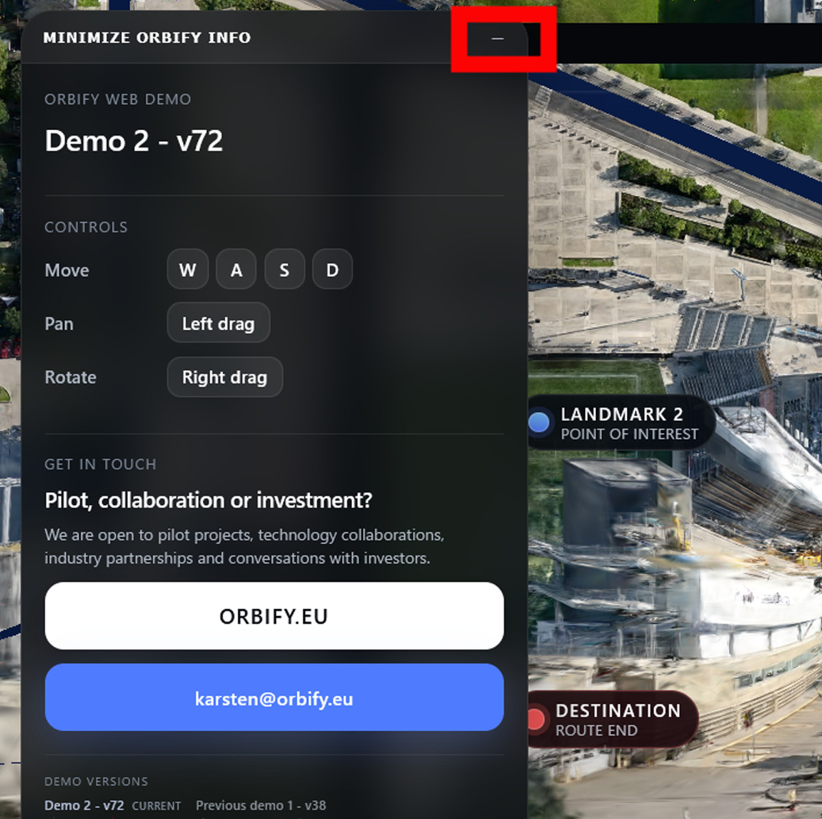
The panel on the left can be closed by pressing the 'Close' icon in the upper right corner.
Click 'START NAVIGATION' at the bottom center of the screen.
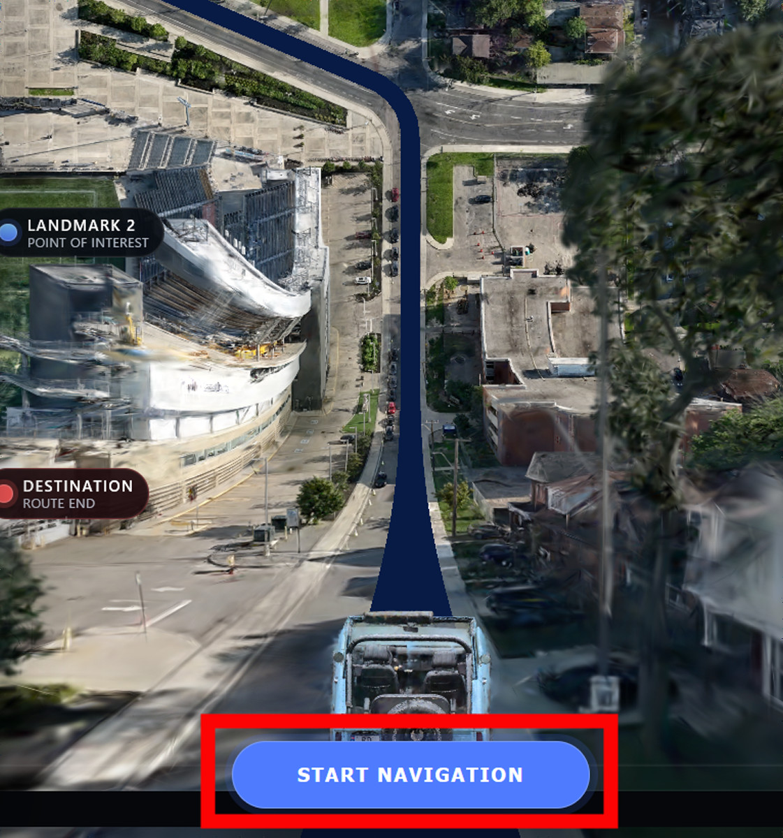
The car in the center of the screen has started moving. The navigation screen changes as the car moves, displaying the area around the current location like a 3D map and the distant scenery like an overhead view.
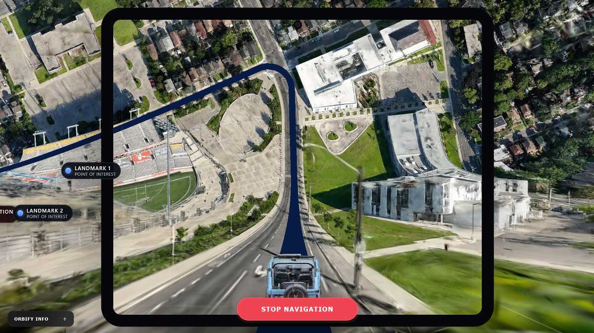
You can now see 'DESTINATION' in the upper left corner of the screen.
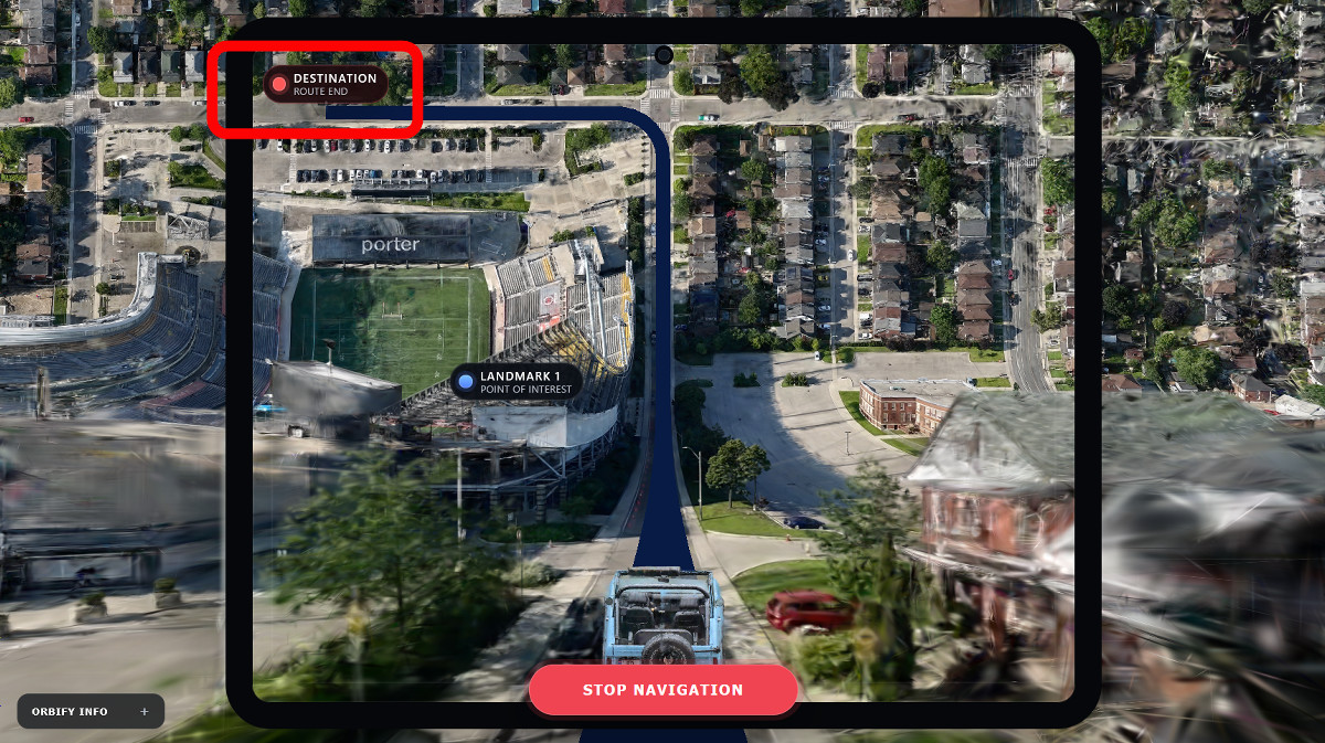
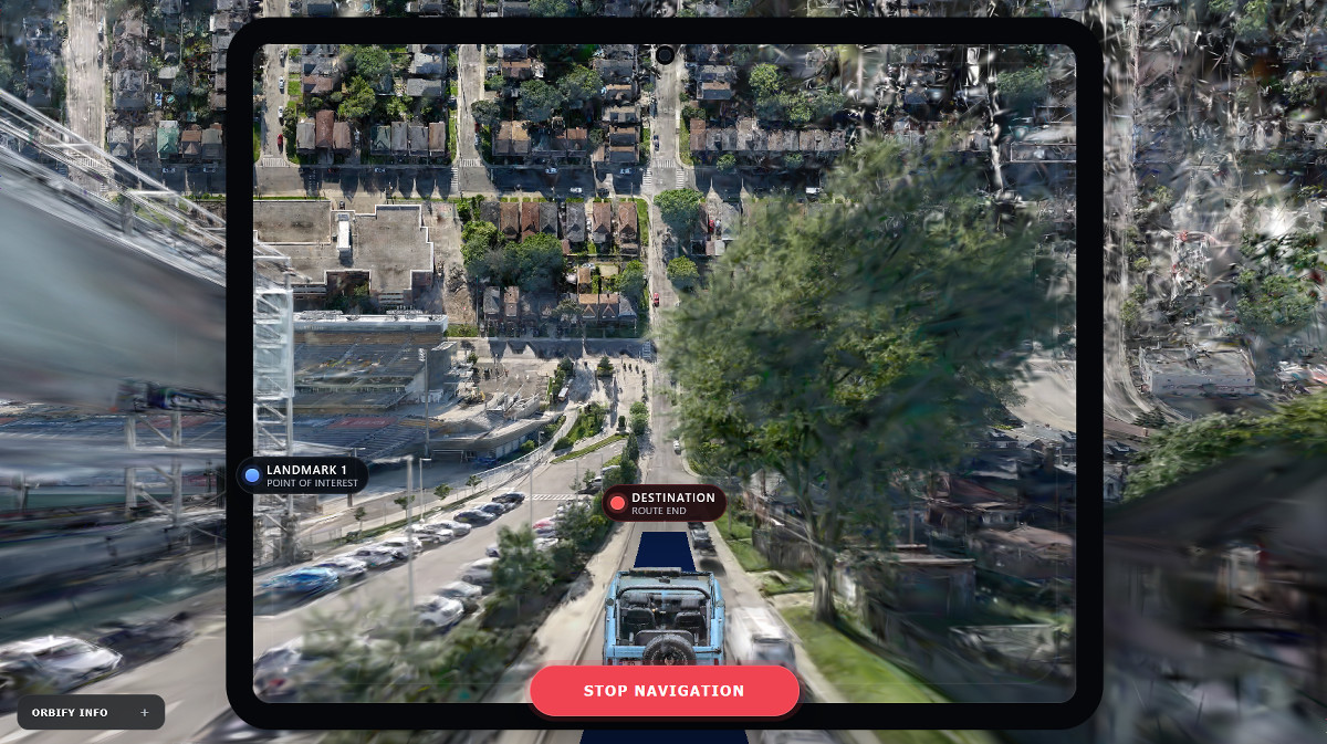
The demonstration ended when we reached our destination.
Related Posts:

in Web Service, Vehicle, Posted by log1h_ik