Google Earth's AI feature for generating fictional satellite imagery was withdrawn after just one day because it could create fake disaster and military images.
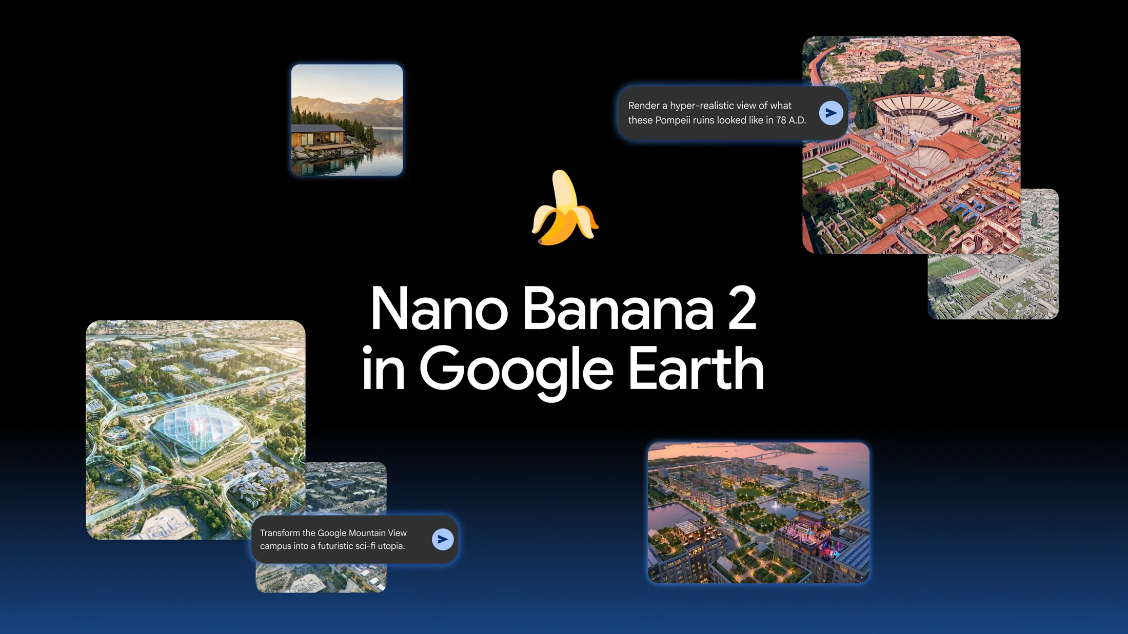
Google released an image generation feature that uses its image generation AI model ' Nano Banana 2 ' to manipulate landscapes on Google Earth, but it was withdrawn just one day after its release due to concerns that it could easily create fake disaster sites and military facilities. Google explained that screenshots of generated images that appeared to violate its policies had been shared, and that it would suspend the feature until it could implement stronger security measures.
Nano Banana 2 removed from Google Earth
https://www.digitaldigging.org/p/nano-banana-2-removed-from-google
Google Earth risked ruin with retracted AI tool for making fake satellite pics - Ars Technica
https://arstechnica.com/ai/2026/07/google-earth-releases-swiftly-retracts-ai-feature-to-make-fake-satellite-images/
On July 30, 2026, Google announced a feature that would allow Nano Banana 2 to generate new images based on locations displayed in the web version of Google Earth. The system works by allowing users to move to any location in Google Earth, select 'Create Image,' and enter text, which then generates an image based on satellite imagery, aerial photographs, and 3D data of that location.
For example, it was possible to recreate the Roman-era streetscape of Pompeii, which is now a ruin, or to create renderings of what an empty lot might look like if it were redeveloped into a commercial facility or park. Google introduced the feature as something that could be used for history education, real estate development, urban planning, and creating images for housing construction, and made it available to web-based Google Earth users worldwide from the day it was released.
However, this feature also made it possible to add buildings, disasters, and traces of conflict that don't actually exist in real locations, creating images that look like genuine satellite imagery. Henk van Es, who runs the investigative journalism site Digital Digging, reported being able to generate images of refugees near the Mexican border, Iranian nuclear facilities, a fatal accident in Amsterdam, and bomb damage to hospitals in the Gaza Strip.
Tonight I typed just one sentence into Google Earth and put refugees near the Mexican border. Then I planted a nuclear plant in Iran. What on earth is Google doing? Check my latest post here: https://t.co/N0h6CVECqS pic.twitter.com/WSjdcEXWJx
— ?????????????????? ???????????? (@henkvaness) July 30, 2026
According to Fan Es, Google had previously explained that it had implemented mechanisms to prevent the generation of images with harmful subject matter. However, none of the instructions he entered were rejected, and fictional events set in real locations were generated. NPR also reported that images of Iranian oil facilities burning and the U.S. Capitol building being hit by floods were created.
The generated images were embedded with a 'SynthID' watermark indicating they were created by Google's AI, and this watermark was not reflected in maps or satellite imagery viewed by other users on Google Earth itself. However, if the generated results were extracted as screenshots and shared on social media without context, they could be mistaken for genuine satellite images or aerial photographs.
Google Earth, in particular, is a service used by news organizations and open-source research experts to verify the location and status of disasters, wars, buildings, and other events. The news site Ars Technica points out that 'by directly incorporating image generation capabilities into Google Earth, which has been recognized as a reliable source of information for verifying the real world, there is a risk of blurring the line between fact and fiction.'
On July 31, the day after the service was announced, Google explained that it recognized Google Earth had earned special trust as a service that provides a 'trustworthy view of the world.' However, while acknowledging that there had been useful examples of its use by geospatial information experts, it also stated that it would roll back the feature until it could implement stronger security measures, as it had seen the sharing of generated images that appeared to violate Google's policies.
Re: our statement on Image Generation in Google Earth:
— News from Google (@NewsFromGoogle) July 31, 2026
“We know that people uniquely trust Google Earth for a reliable view of the world. We've seen geospatial professionals using this feature for a range of useful, purposes however we've also seen people sharing screenshots of…
This measure is described as a temporary suspension, not a complete removal of the feature. However, Google has not revealed when it will be relaunched or the specific details of the additional security measures it will implement. The challenge going forward will be how to distinguish between real geographic information and generated images and prevent their misuse for misinformation.
Related Posts:





in AI, Video, Web Service, Posted by log1i_yk