Why is every map of China a little wrong?
When using a service like Google Maps in China, there may be a strange gap between the map and the actual terrain.
Why Every Map of China is Just Slightly Wrong --YouTube
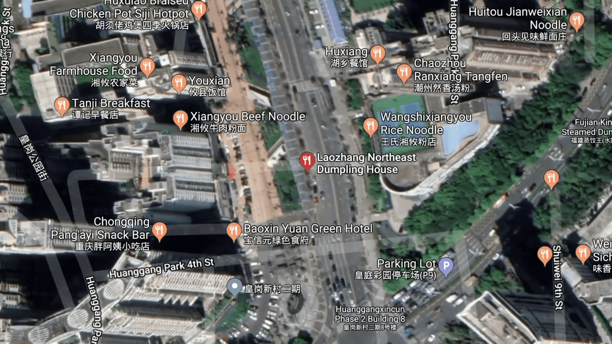
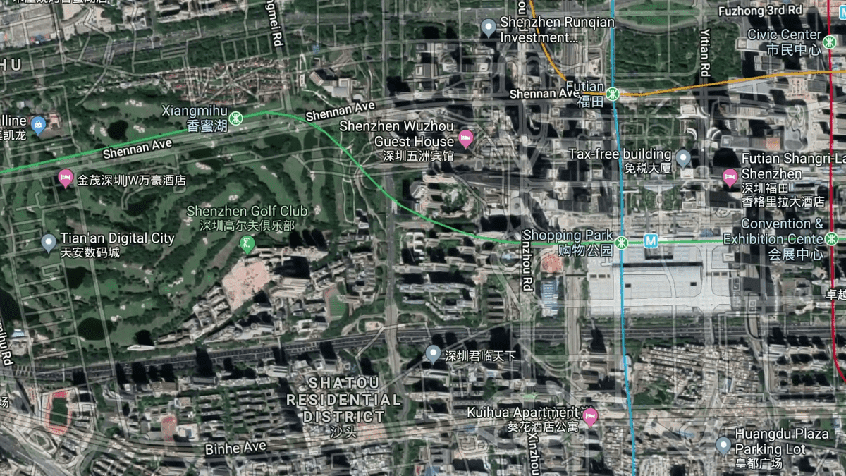
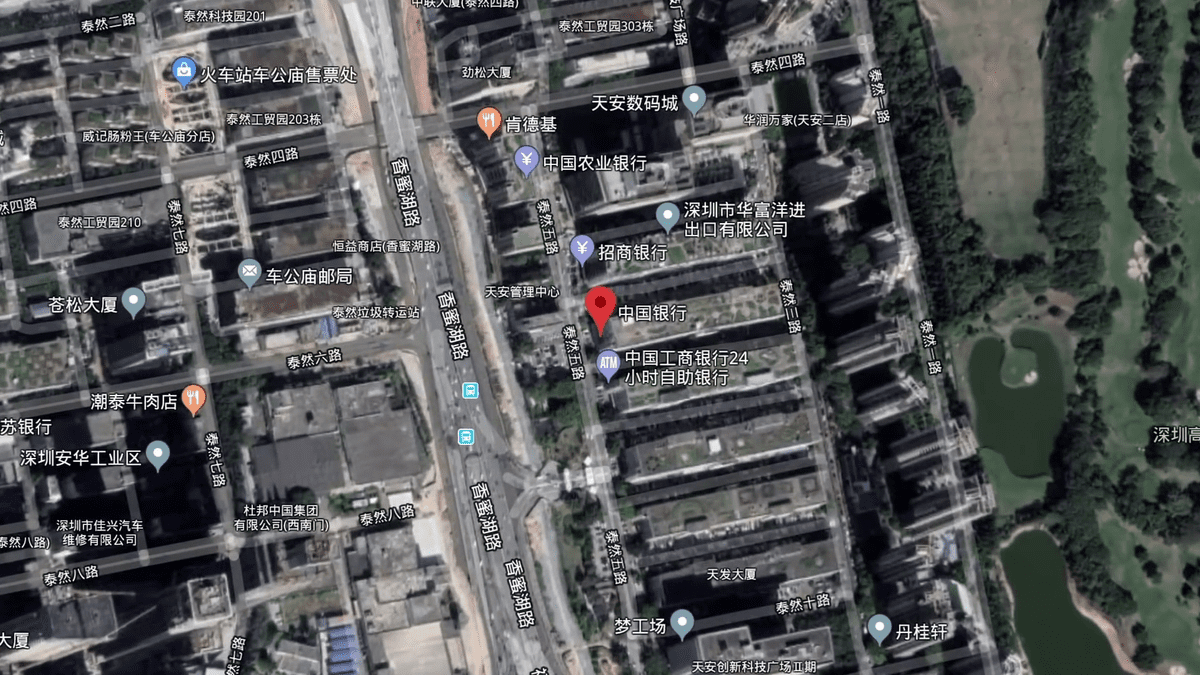
For example, a traveler visiting China checks a map to eat at a restaurant in Shenzhen.
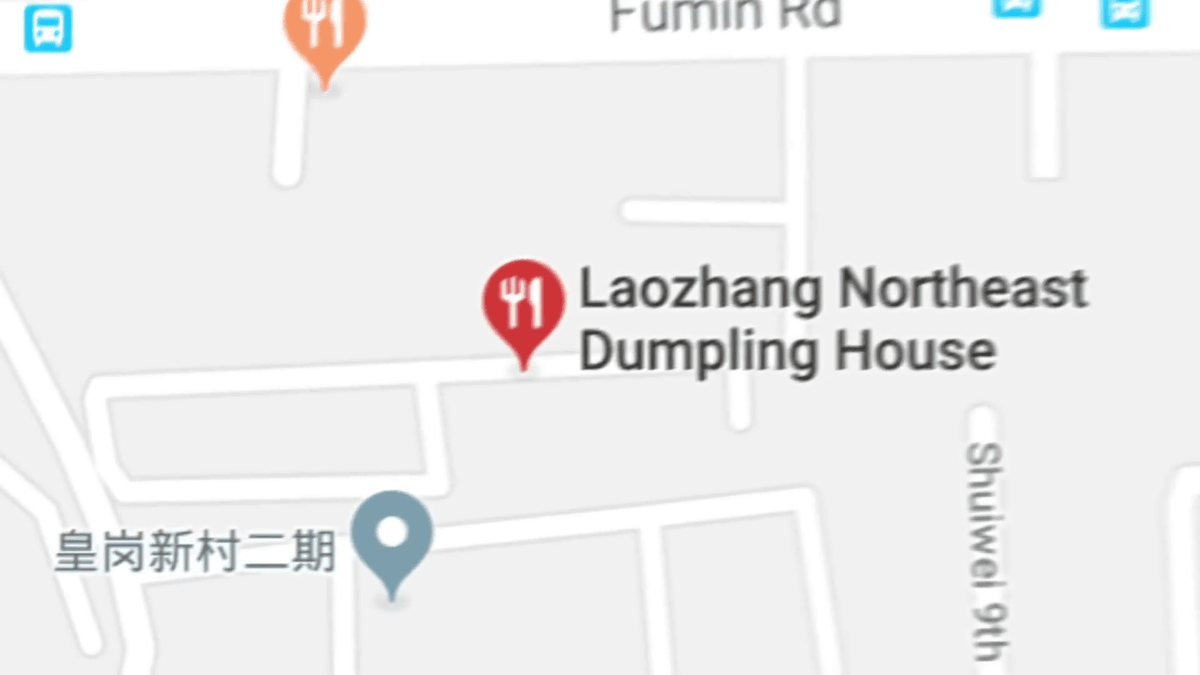
However, if you superimpose the map showing the location of this store on the satellite image, the store will be standing in the middle of the traffic.
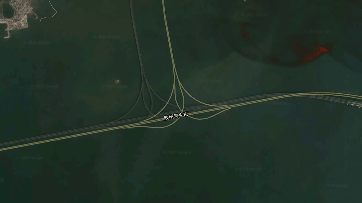
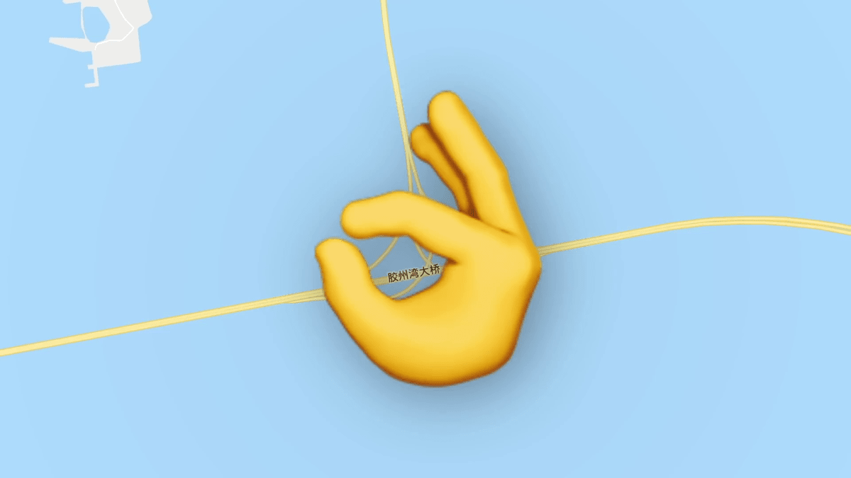
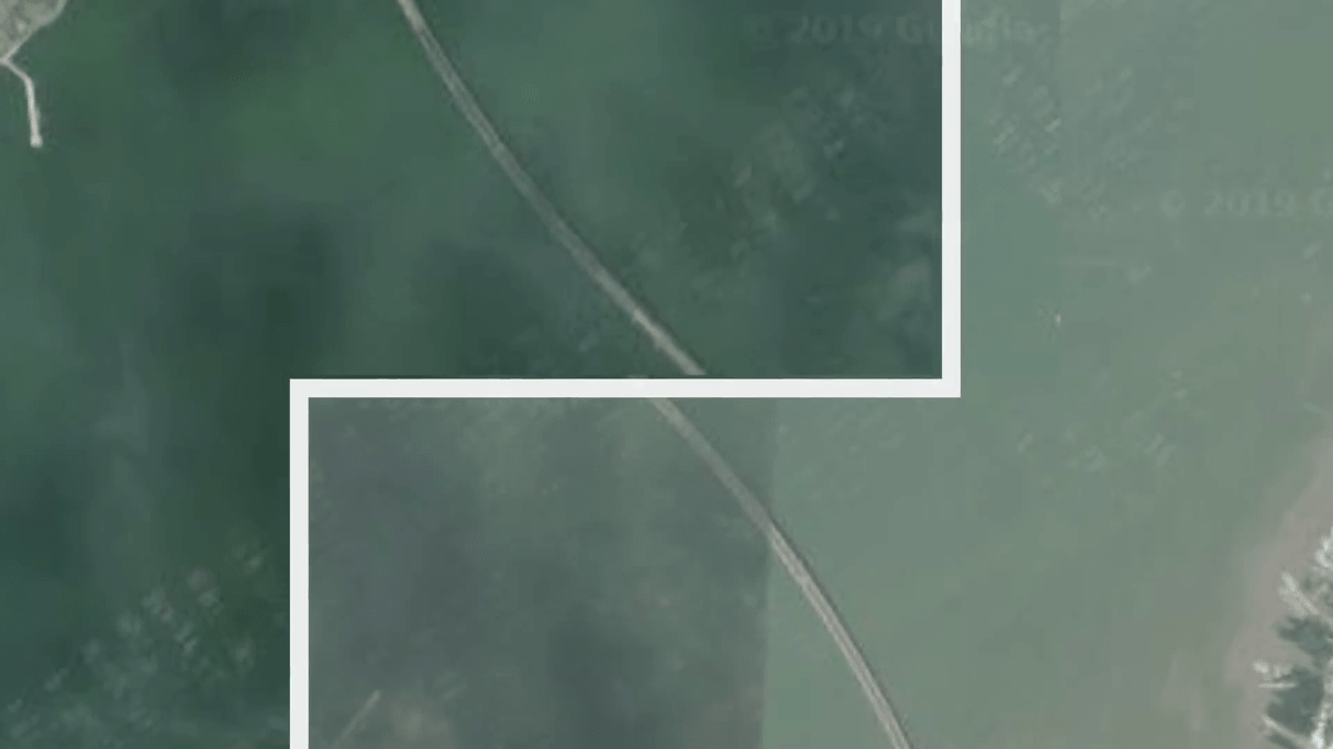
The bridge along the way ...
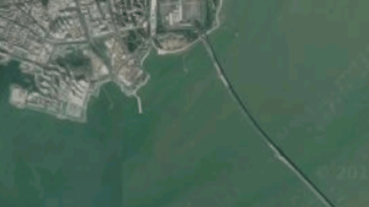
It is cut off unnaturally on the map.

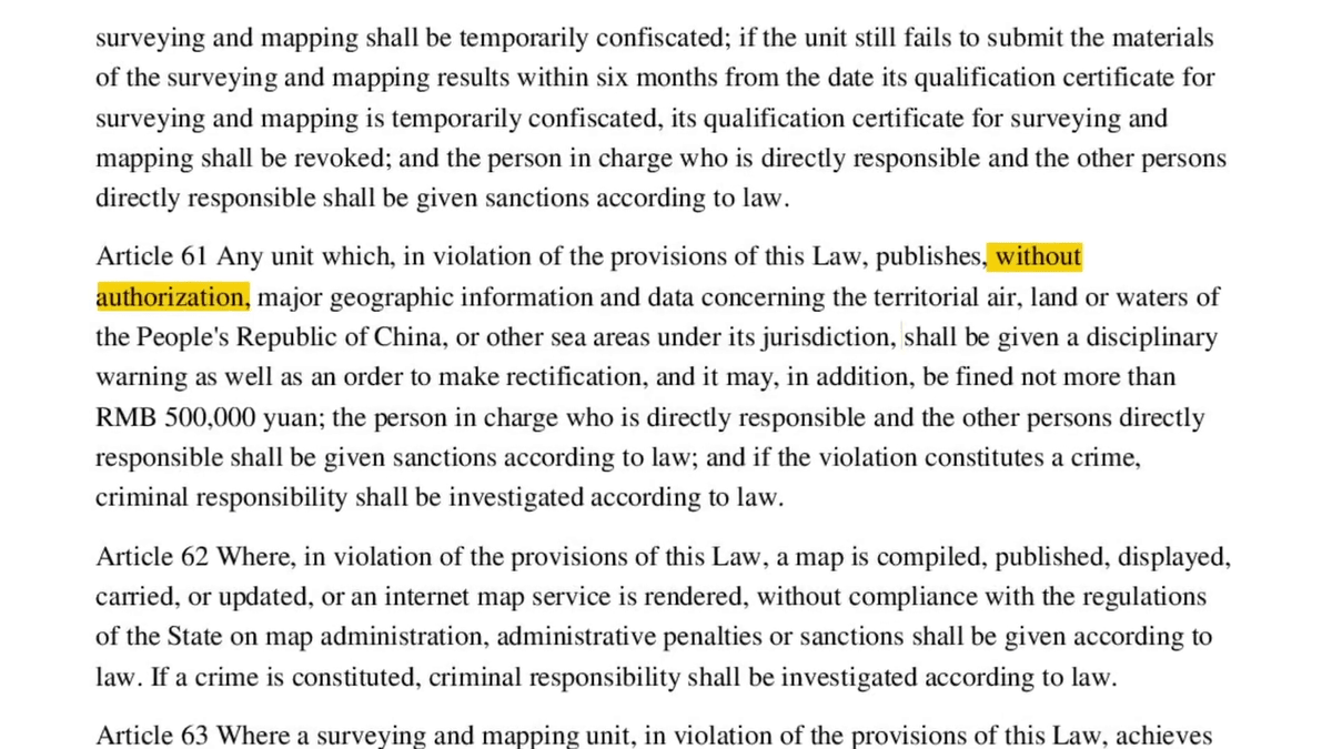
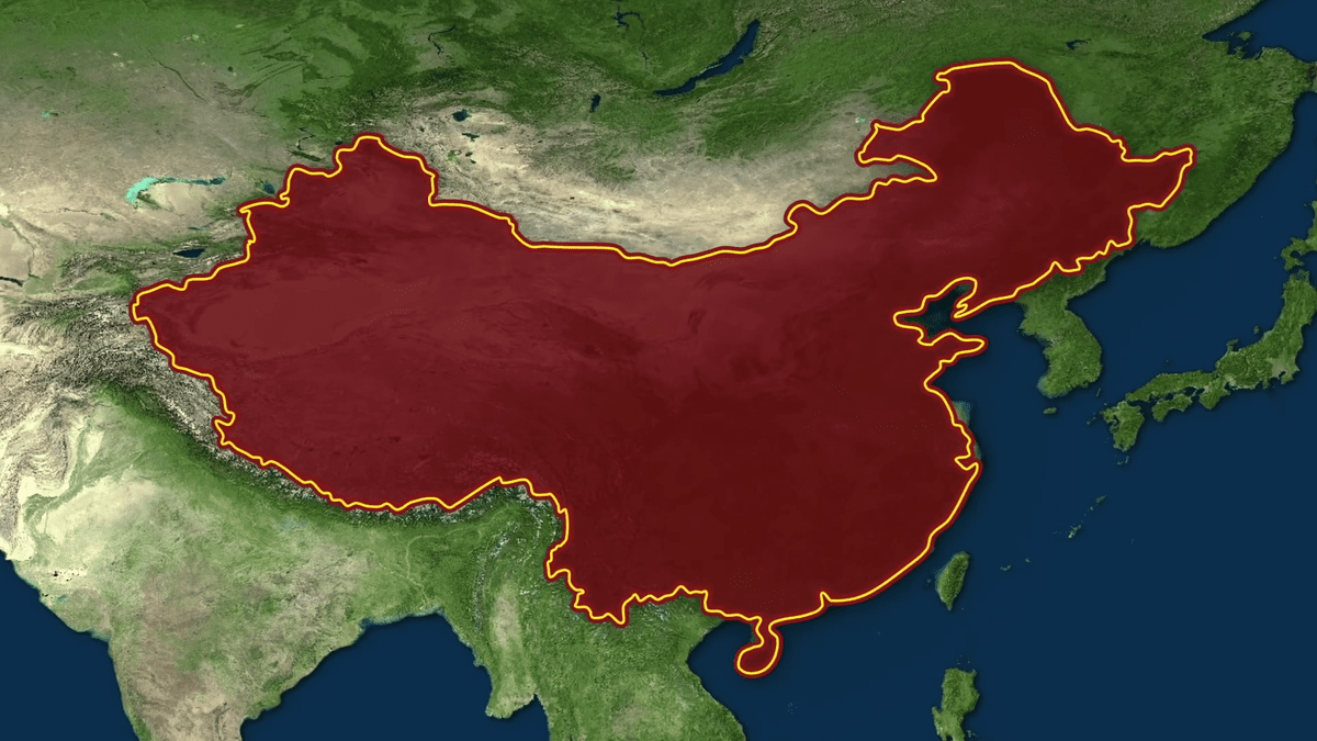
Thus, the map of China is wrong because the law restricts the use of geographical data .
Under Chinese law on cartography, surveying and cartography in mainland China is illegal without the special permission of the Chinese government.
From large corporations like Coca-Cola to British students trying to study faults, the Chinese government only prosecuted private companies and civilians for illegally mapping between 2006 and 2011. But there are more than 40 cases in total.

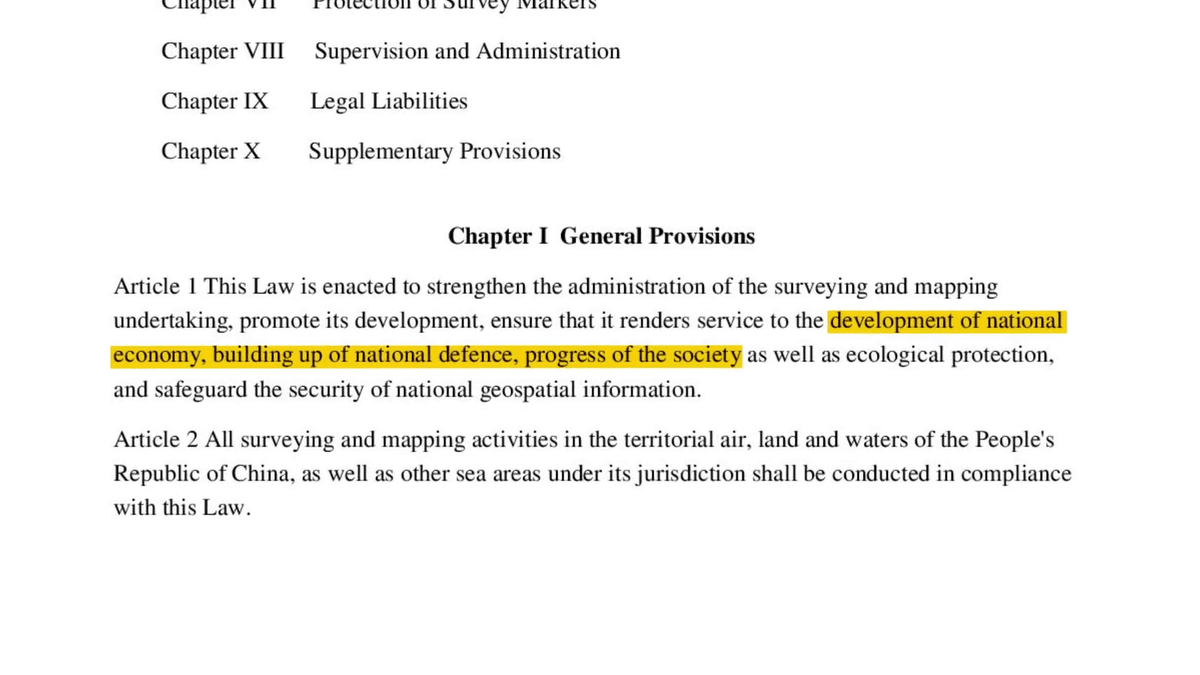
According to the law mentioned above, the Chinese government believes that 'keeping geographic data secret is important for the development of the national economy, the building of national defense, and the progress of society.'
There are only 14 companies officially authorized to map in China. Moreover, all 14 companies are Chinese companies, and none of the foreign companies are allowed to create cartography.
Therefore, when a foreign company like Google tries to provide a map service in China, it will partner with a Chinese company approved by the Chinese government.
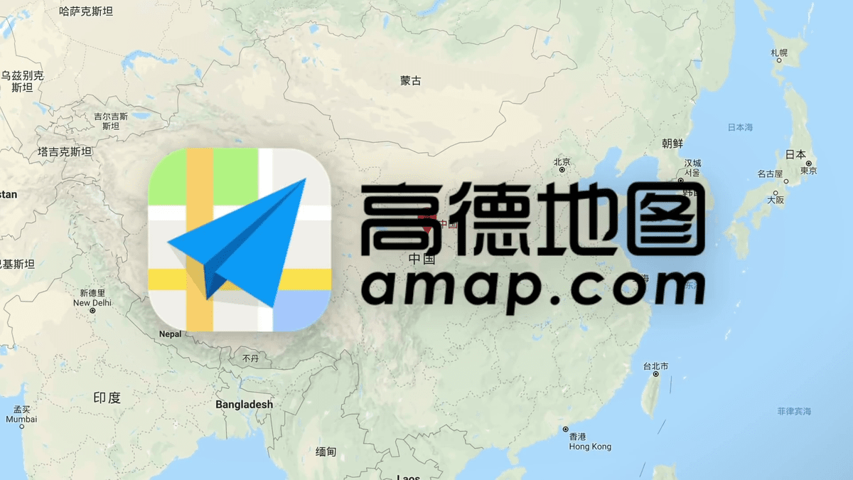
The involvement of these Chinese government-approved map companies is a direct cause of most of China's maps being incorrect.

Most parts of the world use a GPS coordinate system called
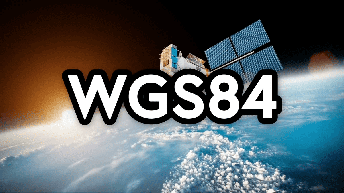
On the other hand, the
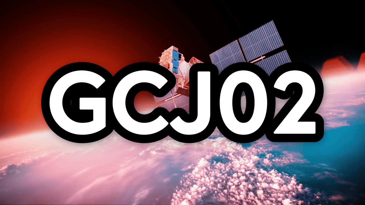
Although GCJ02 is based on WGS84, GCJ02 has a built-in algorithm that causes random deviations in both longitude and latitude.
This creates a gap of 50-500 meters between the map and the actual terrain.
For example, if 'all points are off 20 meters to the east', simply shifting the resulting map 20 meters to the west will solve the problem ...
Since GCJ02 is randomly displaced everywhere, you cannot make a decent map without using GCJ02 in every process including taking satellite images and surveying.
In fact, Google makes maps for China this way, so if you access the map from the 'google.cn' domain, you won't have a bank in the middle of the lake. But this is not that the map is accurate, it's just that both the map and the satellite imagery are just as wrong.
Due to these contradictions, the bridge is torn off on the way to the border between China and Hong Kong. This is the result of forcibly stitching together an inaccurate map of China and an accurate map of Hong Kong.
'Therefore, there is no way to know exactly where and what is in China,' concluded Half as Interesting.
Related Posts:


in Video, Posted by log1l_ks