'Medieval London Murder Map' that maps the murders that occurred in medieval London is now available

The ' London Medieval Murder Map ', which is a map that can be moved, enlarged and reduced like a Google map, has been released, which is a map of murder cases collected by criminologists at the University of Cambridge, England.
London Medieval Murder Map | Violence Research Center
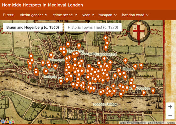
When you access the page that publishes the above 'Medieval London Murder Map', the following screen will be displayed. There are a number of red pins standing in the City of London area north of the London Bridge , each of which indicates where the murder took place.
by
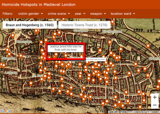
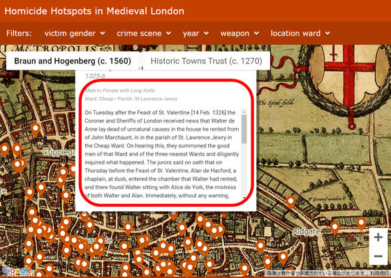
Hover your mouse cursor over the pin to see a summary of the incident. At the following points, it seems that an incident called 'Jealous priest kills man he finds with his lover' occurred.
by
Click to read the details of the case. This incident occurred on Valentine's Day in 1326, when a pastor named Alain sworded Walter, who was with his girlfriend Alice on Valentine's Day. After that, Alain and Alice fled, and Walter lived for about a week, but eventually died while being seen by a priest. The weapon was a type of sword called Misericorde . It is ironic that Misericorde means 'mercy' in French.
by
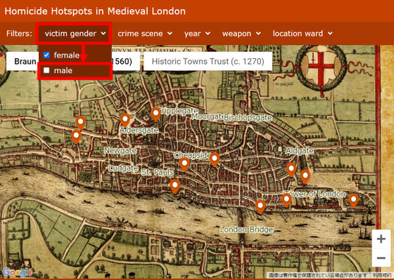
You can use the filters at the top of the map to filter murders by a variety of criteria. For example, if you click 'victim gender' and then 'male' to narrow down the victims to women, most of the pins disappear, so men are killed in London at this time. You can see that there were many incidents.
by Eisner, Manuel (2018) Interactive London Medieval Murder Map. University of Cambridge: Institute of Criminology
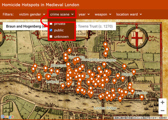
Most of the murders were done in public spaces such as on the streets, as most of the pins remain even if you uncheck 'private' and 'unknown' in the 'crime scene'. You can see.
by
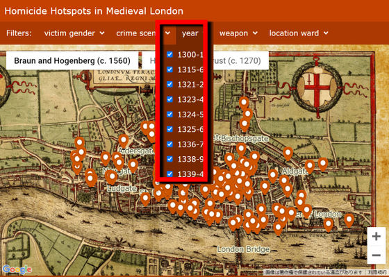
In addition, narrow down the year in which the incident occurred in 'year' ...
by
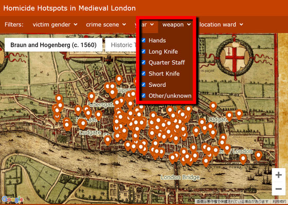
In 'weapon', select the weapon used for the crime from the top, 'bare hand', 'long knife', 'club', 'short knife', 'sword', 'other or unknown' ...
by
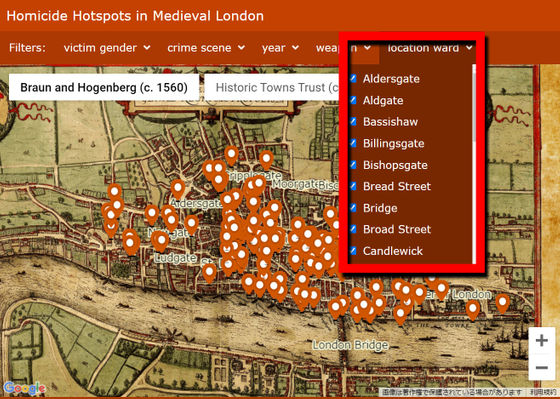
It can be displayed for each ward generated by 'location ward'.
by
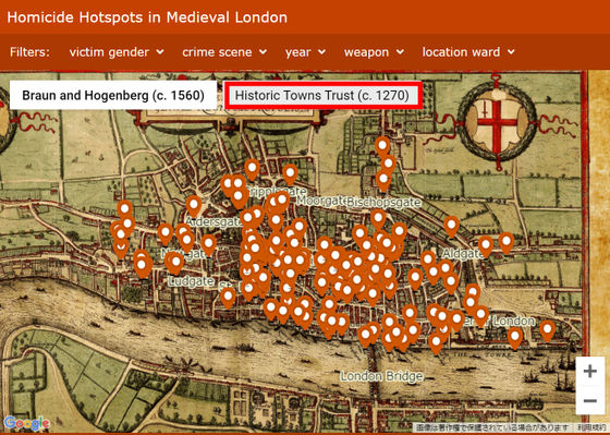
Also, if you click 'Historic Towns Trust' ...
by
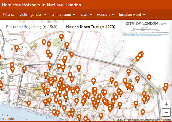
It is possible to switch to the 'Map of London around 1270' published in 1989 by Historic Towns Trust, which collects historical maps of England. It's a bit less tasteful than the Braun-Hogenberg map published in 1572, but you can see the map at a more accurate scale.
by Eisner, Manuel (2018) Interactive London Medieval Murder Map. University of Cambridge: Institute of Criminology
According to Manuel Eisner, a criminologist at the University of Cambridge, of the total 142 murders between 1300 and 1340 shown on this map, about 68% are in public spaces such as main streets and about 21%. It happened in a private house. In addition, while there were 2 murders in brothels, there were 6 murders in religious facilities, which means that more murders occurred in sacred places than in brothels. ..
In addition, daggers and swords accounted for 68% of the total weapons, but clubs were also used in 19% of cases. 'It was common for men in London in the late Middle Ages to be armed. Both the perpetrators and the victims had their weapons within reach so that they could use them immediately in the event of a conflict,' Eisner said. That's it. '
Related Posts:
in Web Service, Posted by log1l_ks
