Finally, Google Street View reaches 'The most uninhabited island near Mars on Earth', and the whole picture of the shooting is being published
Rove around 'Mars on Earth' in Street View
https://www.blog.google/products/earth/rove-around-mars-earth-street-view/
Below is Devon Island seen on Google Maps.
And the landscape of Devon Island seen on Google Street View looks like this.
The following movie shows what kind of research is being conducted on Devon Island and how the Google team has taken pictures on Devon Island.
Mars on Earth: A Visit to Devon Island-YouTube
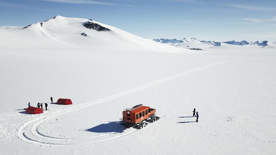
On the world's largest deserted island, the Haughton Mars Project (HMP) is being conducted by NASA and other research institutes. In this HMP, research is being conducted on the Haughton Crater, which was formed by meteor impact on Devon Island about 23 million years ago, and its surroundings, and at the same time verification of the moon & Mars exploration technology and strategy, Testing of various equipment such as spacecraft and life management experiments assuming manned exploration are also being conducted.
Cessna connecting Canada to Devon Island. It is said that ordinary people can not get in, but a special invitation from Dr. Pascal Lee, president of Mars Institute and head of HMP, will allow Google members to reach Devon Island It seems that it could
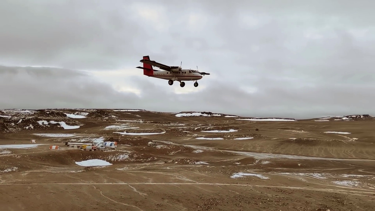
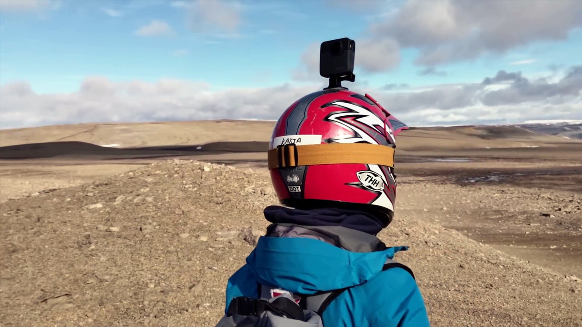
Katja Minitsenka, part of the Google Street View film crew and program manager. It took three months to prepare for the expedition, and seventy-two round trip flights took 72 hours to carry the entire crew and equipment.

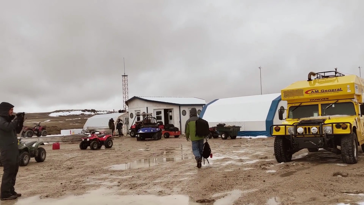
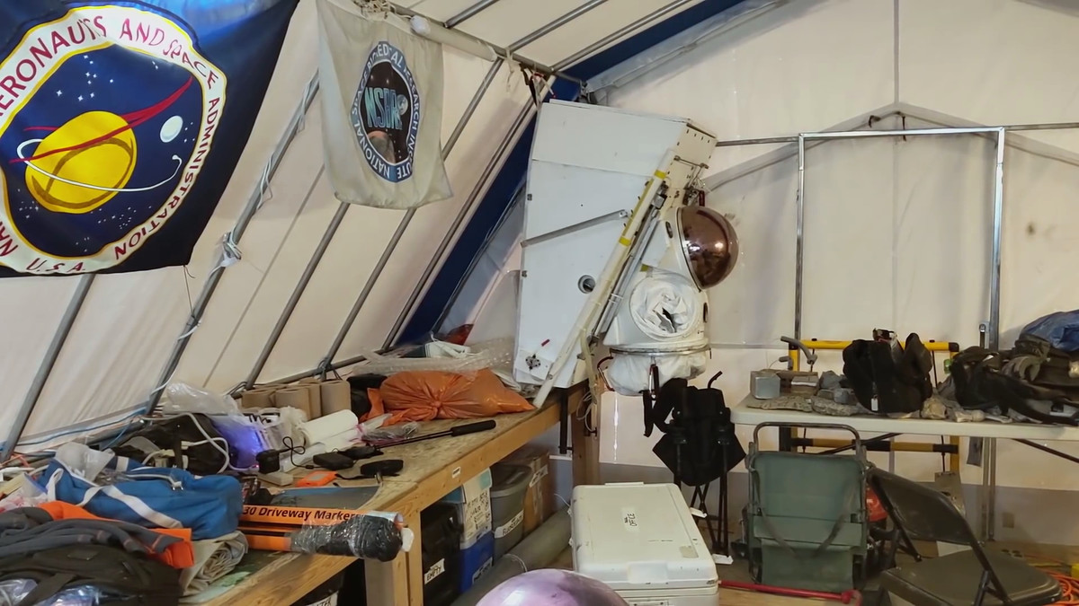
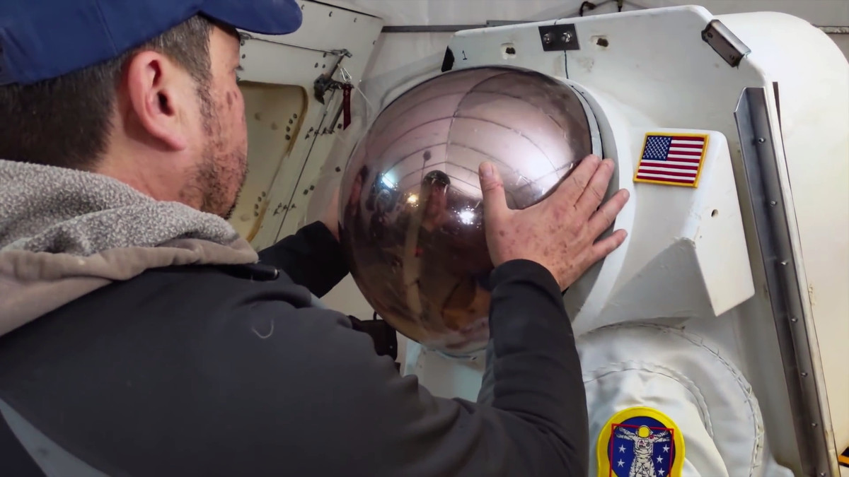
This is what it looks like in the survey base. At the back is a spacesuit for manned exploration.
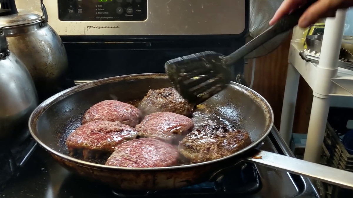
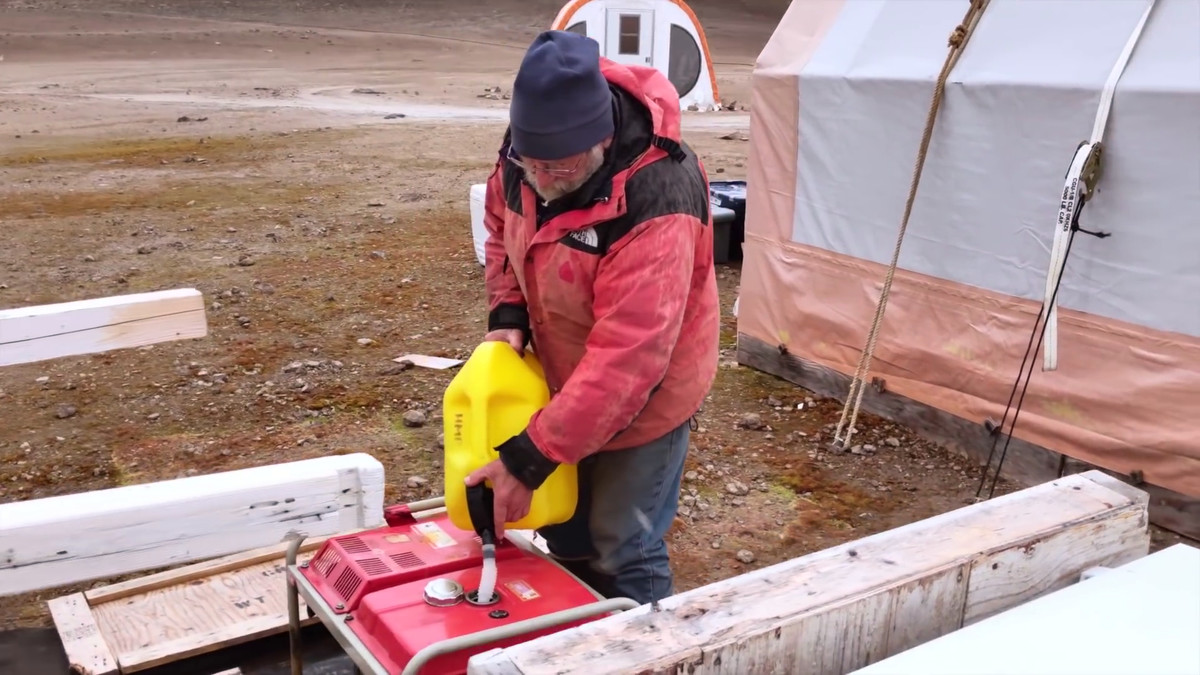
Naturally there is no infrastructure on Devon Island, a deserted island. Daily meals need to be prepared with fuel brought in from outside and brought in from outside.
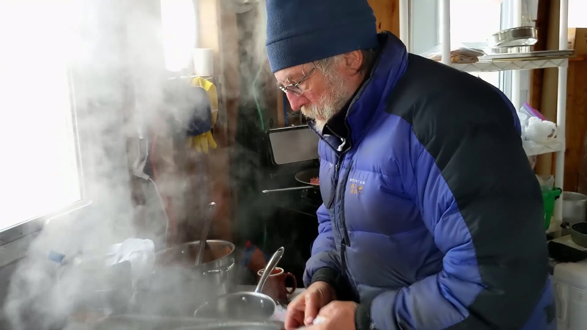
Mr. Minitsenka who eats with a research team.
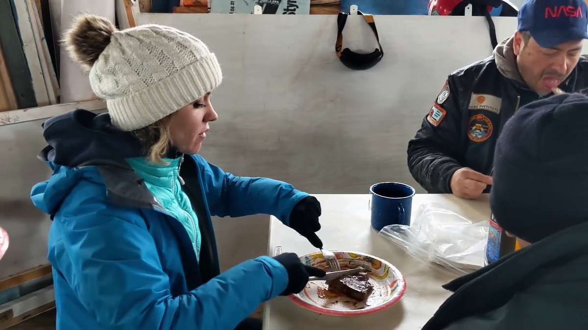
At the left of the image smiling is Dr. Lee, who is responsible for HMP and invited the Google team.

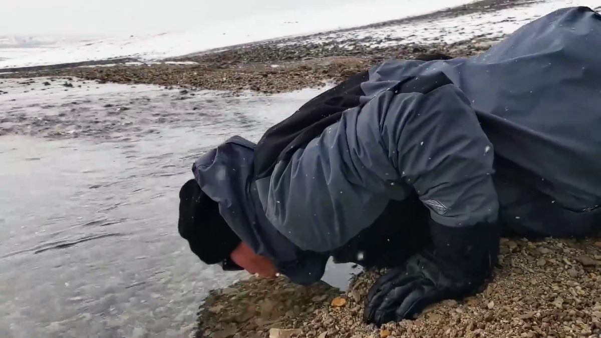
Because water supply is not drawn, you can squeeze water from the river by yourself.
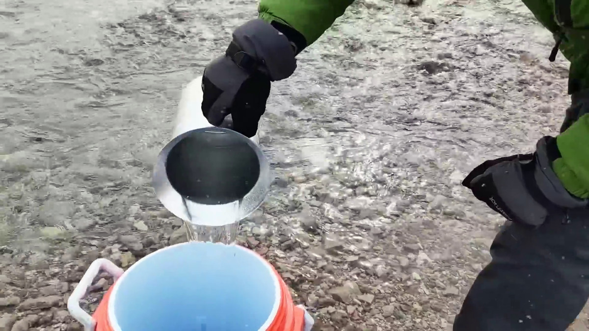
In addition, the water of the flowing river is also very clean, so it is safe to take a mouth and drink.
Since there is neither a power generation facility nor a wire, a generator that drives fuel is the lifeline.
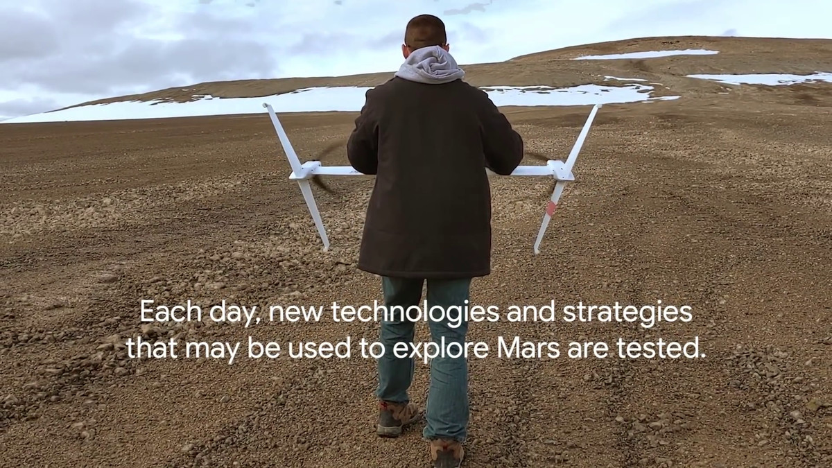
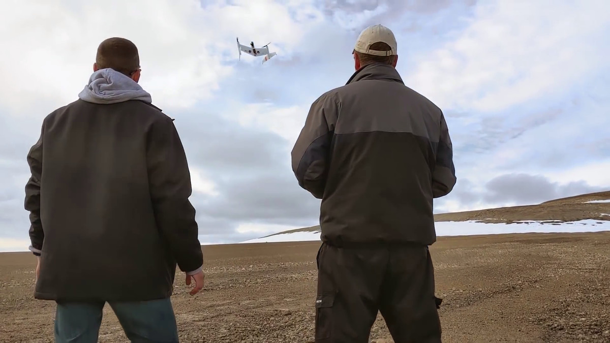
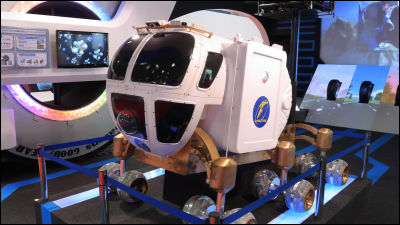
This research base is testing new technologies and strategies that will be used in Mars exploration in the future. For example, this is a new type of drone that seems to be applicable to Mars exploration.
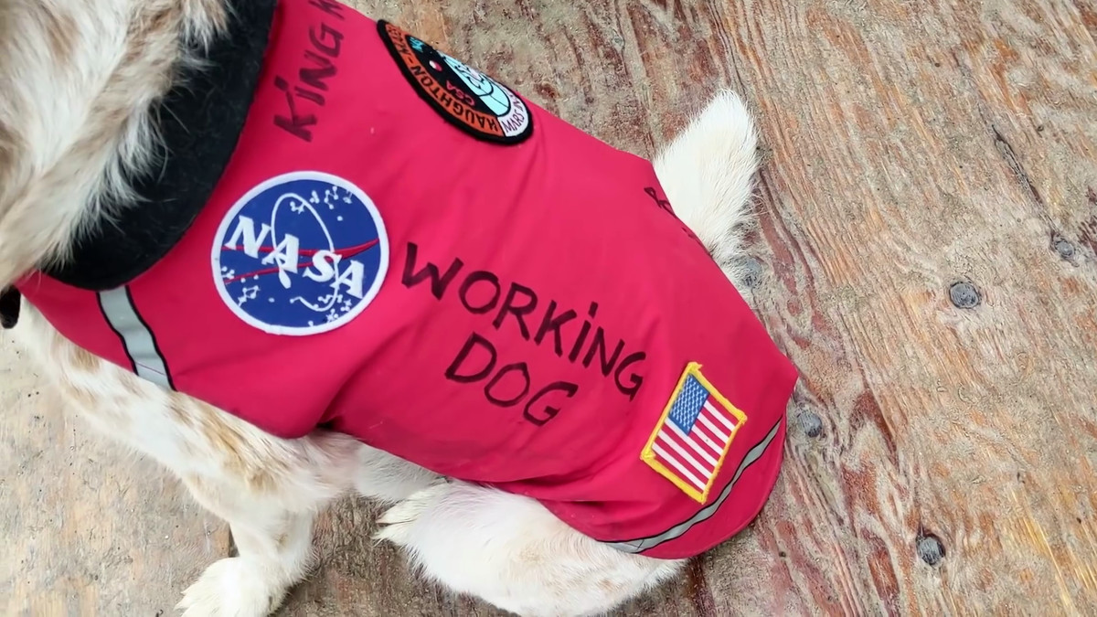
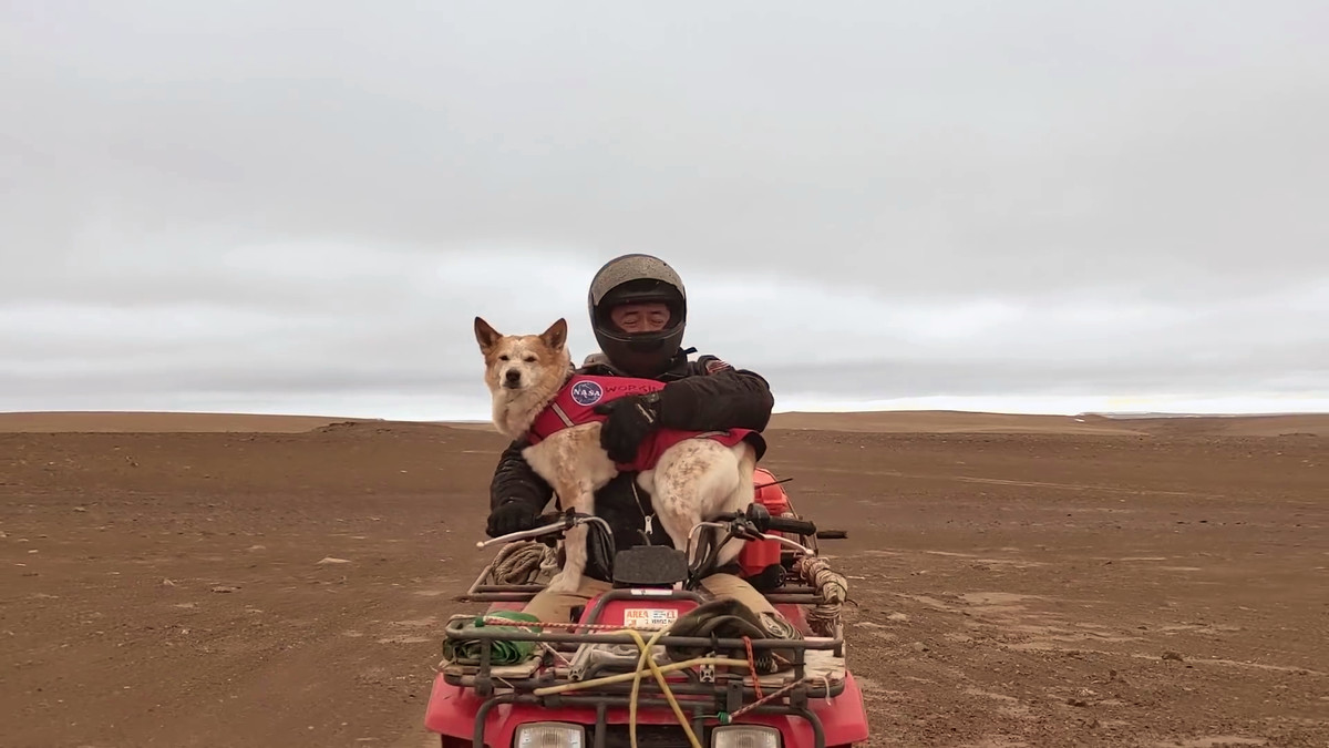
It is not only human beings living in the survey base. Dr. Lee's dog KingKong is also an important member of HMP. King Kong is not only responsible for healing, but also has a very important role to warn when polar bears get lost in a residential area.
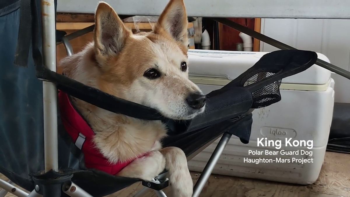
Therefore, the best that KingKong is wearing is marked with the NASA logo and 'WORKING DOG'.
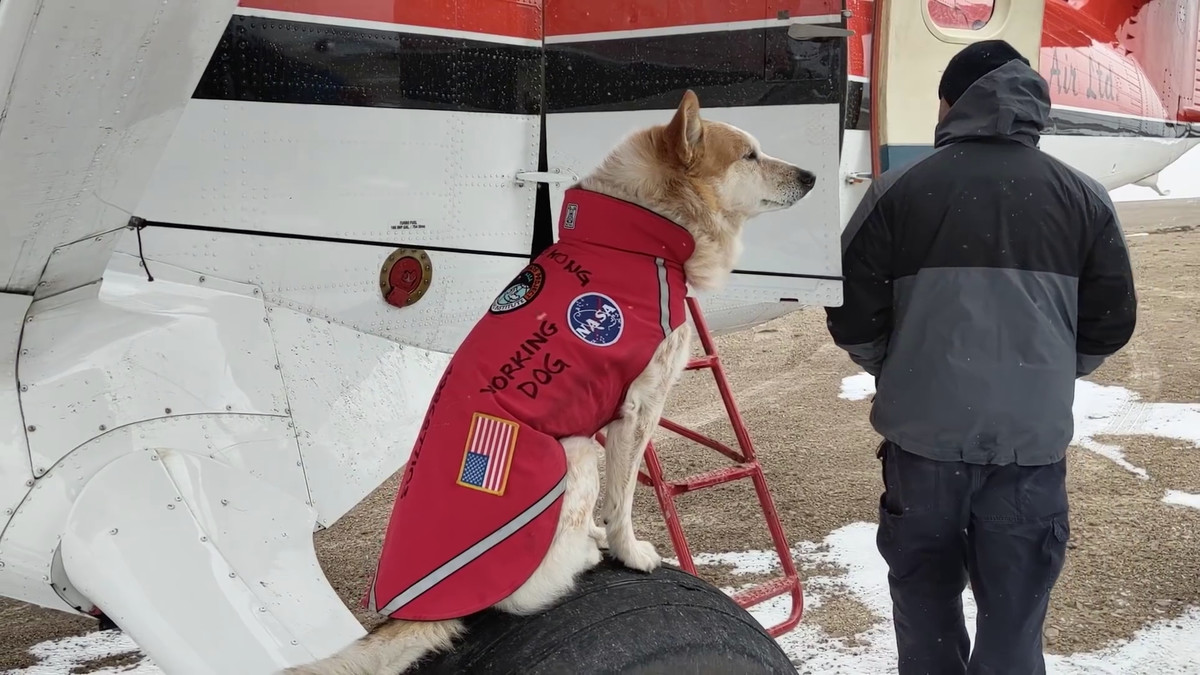
King Kong sits proudly on Cessna's landing gear.
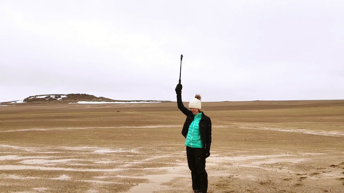
The Google team shoots with a 360 degree camera.
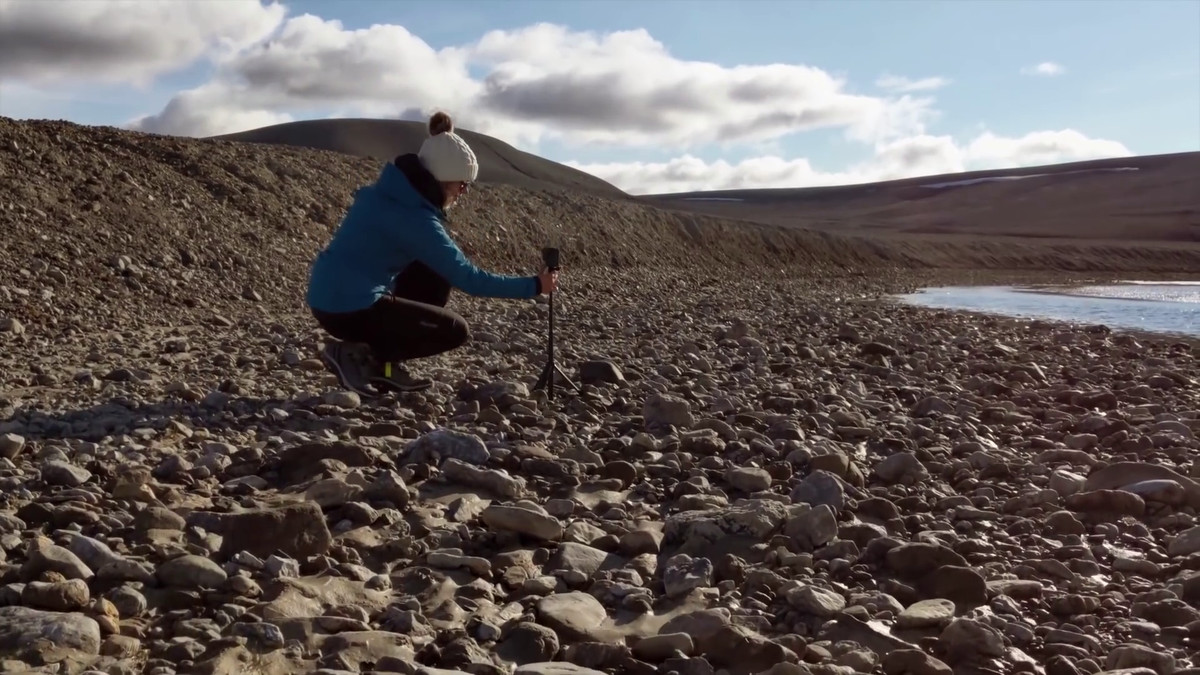
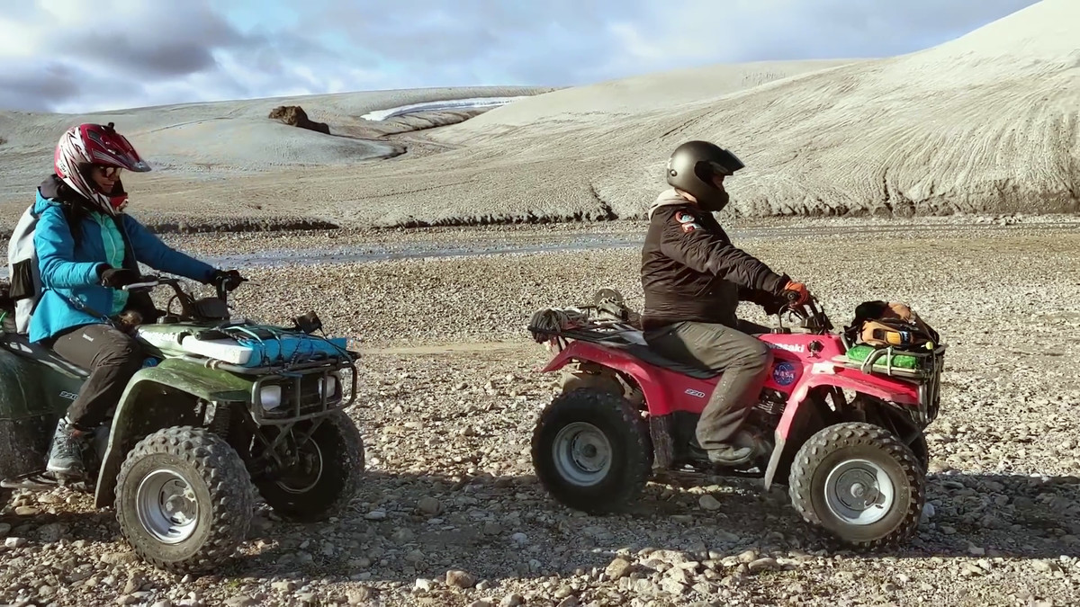
The city road is taken while running with the camera mounted on Google Car, but there is no paved road on Devon Island, so attach the action camera to Minitsenka's helmet and take the four-wheeled buggy for shooting I will do it.
KingKong gets into the buggy with Dr. Lee.
The scenery reflected in Minitsenka's action camera is ...
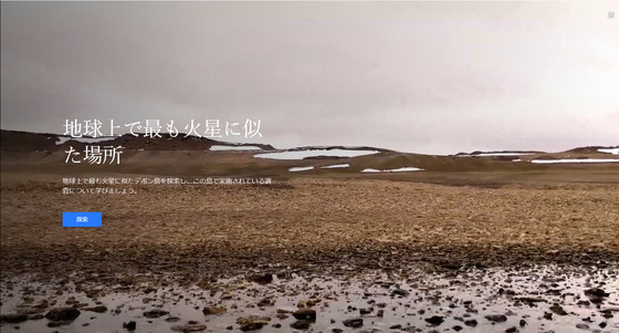
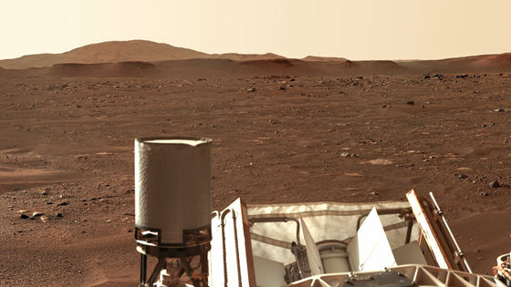
Like this. At Devon Island, where latitude is more than 75 degrees north, plants are no longer naturally grown, and devastated lands are spreading.

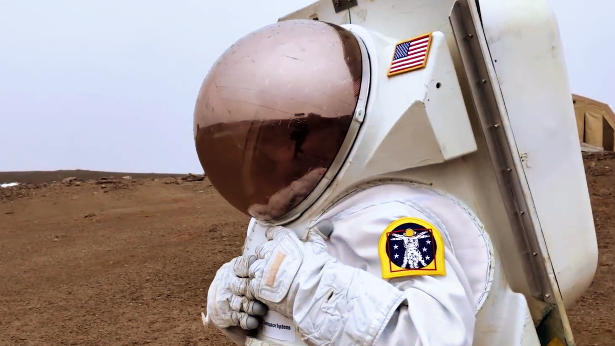
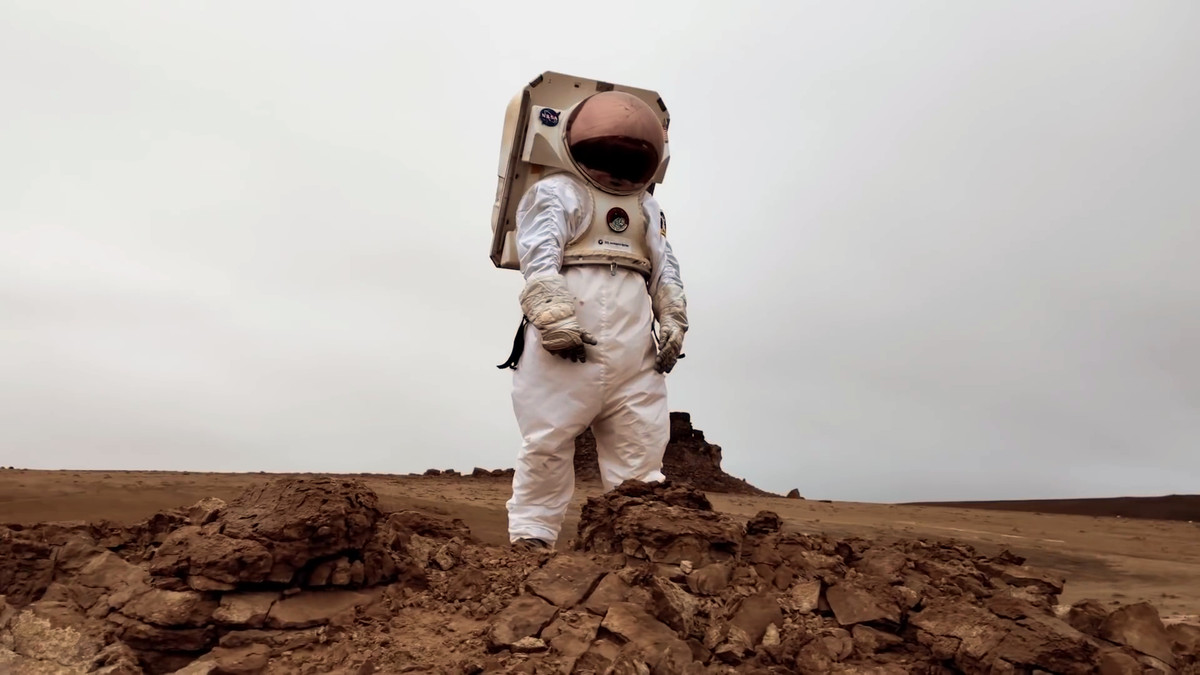
In the movie, Minitsenka wore a space suit that was tested with HMP.
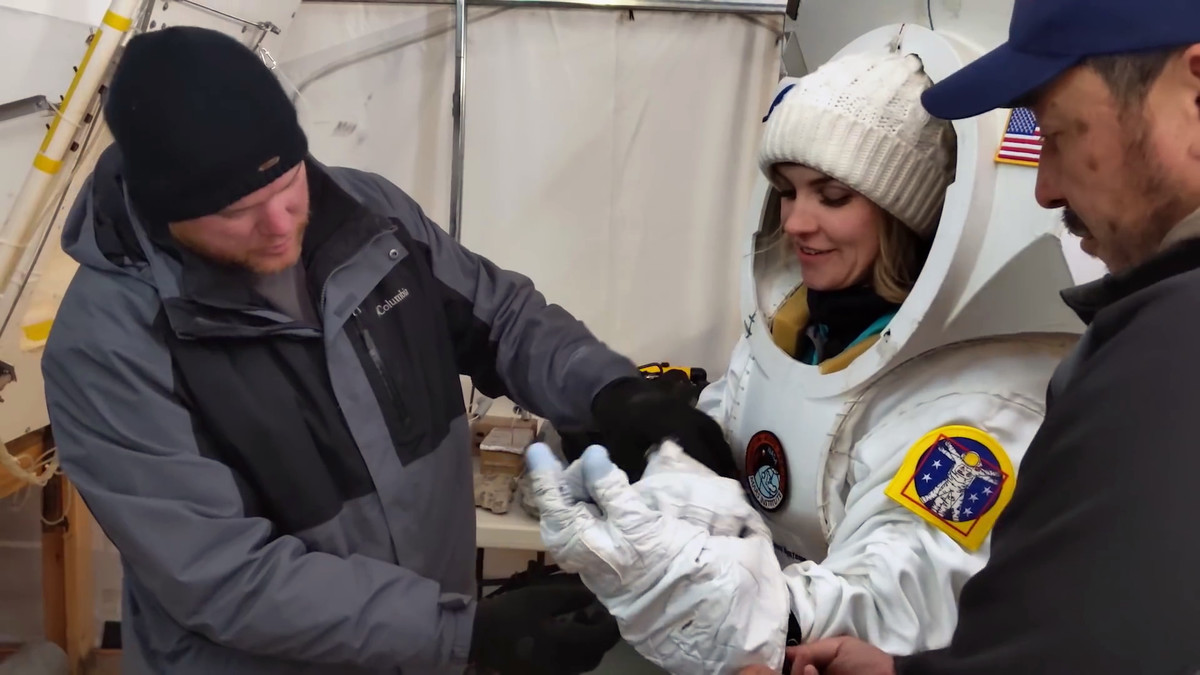
A walk in the spacesuit, Minissenka, in the polar desert where even a single grass of Devon Island does not grow, looks like a landscape exploring Mars.

The scenery that Minitsenka et al.'S shooting crew has captured in the camera can also be viewed from the following Google Earth.
Google Earth
Related Posts:


in Web Service, Video, Posted by log1i_yk